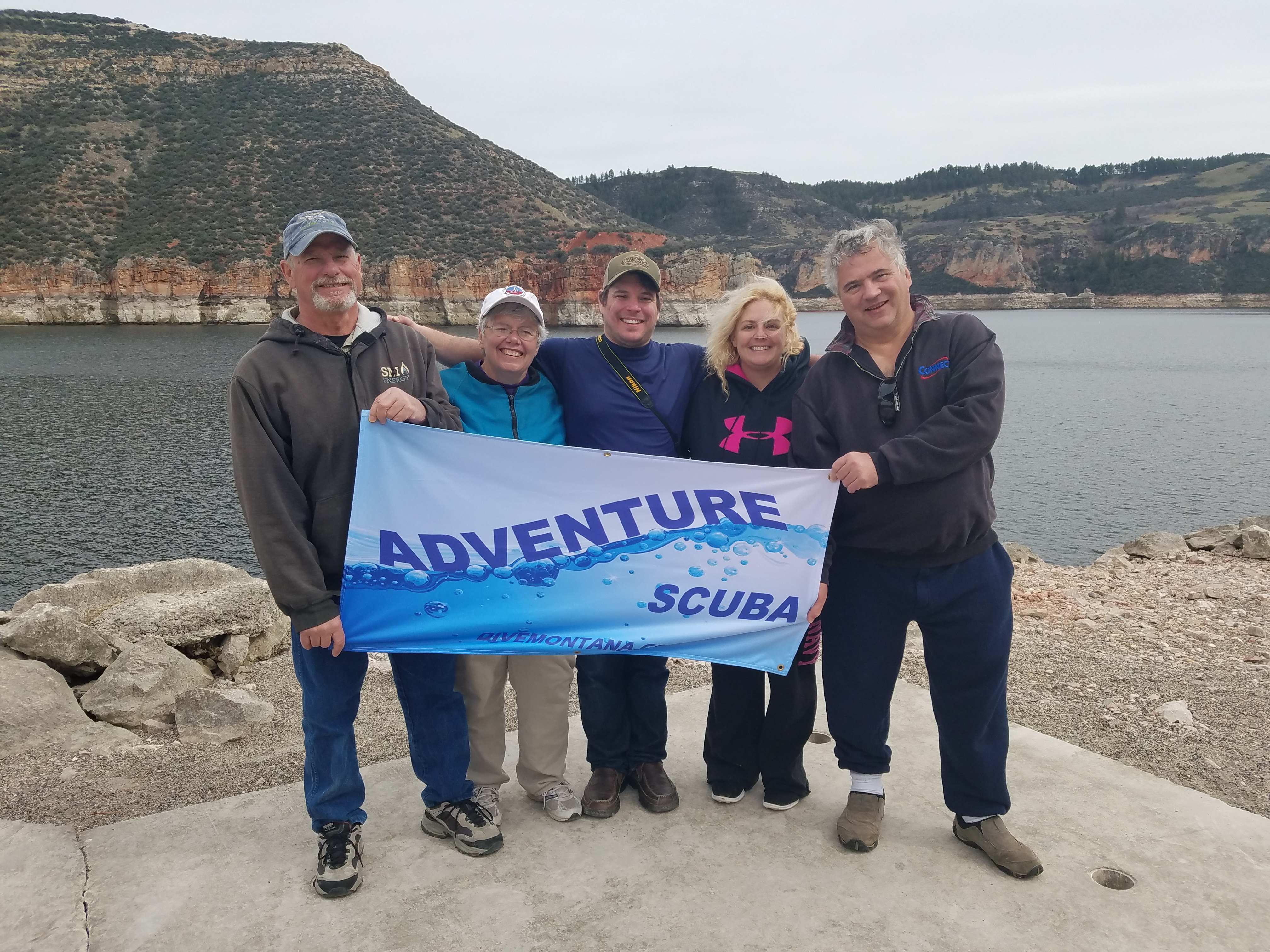
ADS290 - Vietnamese Bay South
8
1
3
10.621902, 103.307272
4
sand
1
2
4
Pants
Scattered thunderstorms
Save Cambodian Marine Life
Tommy Kenna
7
1
1
2
4
1
9.00
59
11.50
8.00
18
measured
1125.00
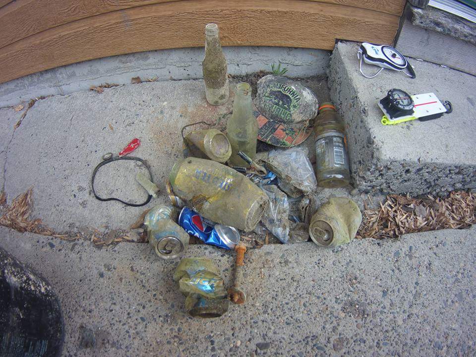
Rope - highest number of items found
Food wrappers - persistent problem with increasing tourism
Beverage cans - persistent problem with increasing tourism
On
kilograms
I have debris data to report
1
Smooth (wavelets) for waves 0.1 - 0.5 meter high
1
m2
meters
coral reef
1
2
1
9
1
State\Province
Preah Sihanouk
City
Koh Rong Samloem
Map Help
Dive Location
If you know your survey site coordinates, enter them manually in decimal degrees using WGS84 Map Datum. Use the minus sign for latitudes south of the equator and longitudes west of the Prime Meridian to 180 degrees.
If you do not know your survey site coordinates, click the “Map Location” tab to use the map to zoom into your survey site and drop the pin on the map to fall within your survey dive site in the water (not on land or the beach). Ensure you zoom in as much as possible to ensure data accuracy.
Entangled Help