Todd's Playground
9
20.518835, -86.950044
12
rock
1
12
This is an area close to the main pier in the center of town. There is usually a lot of debris there.
A portable speaker.
Windy and cool
5
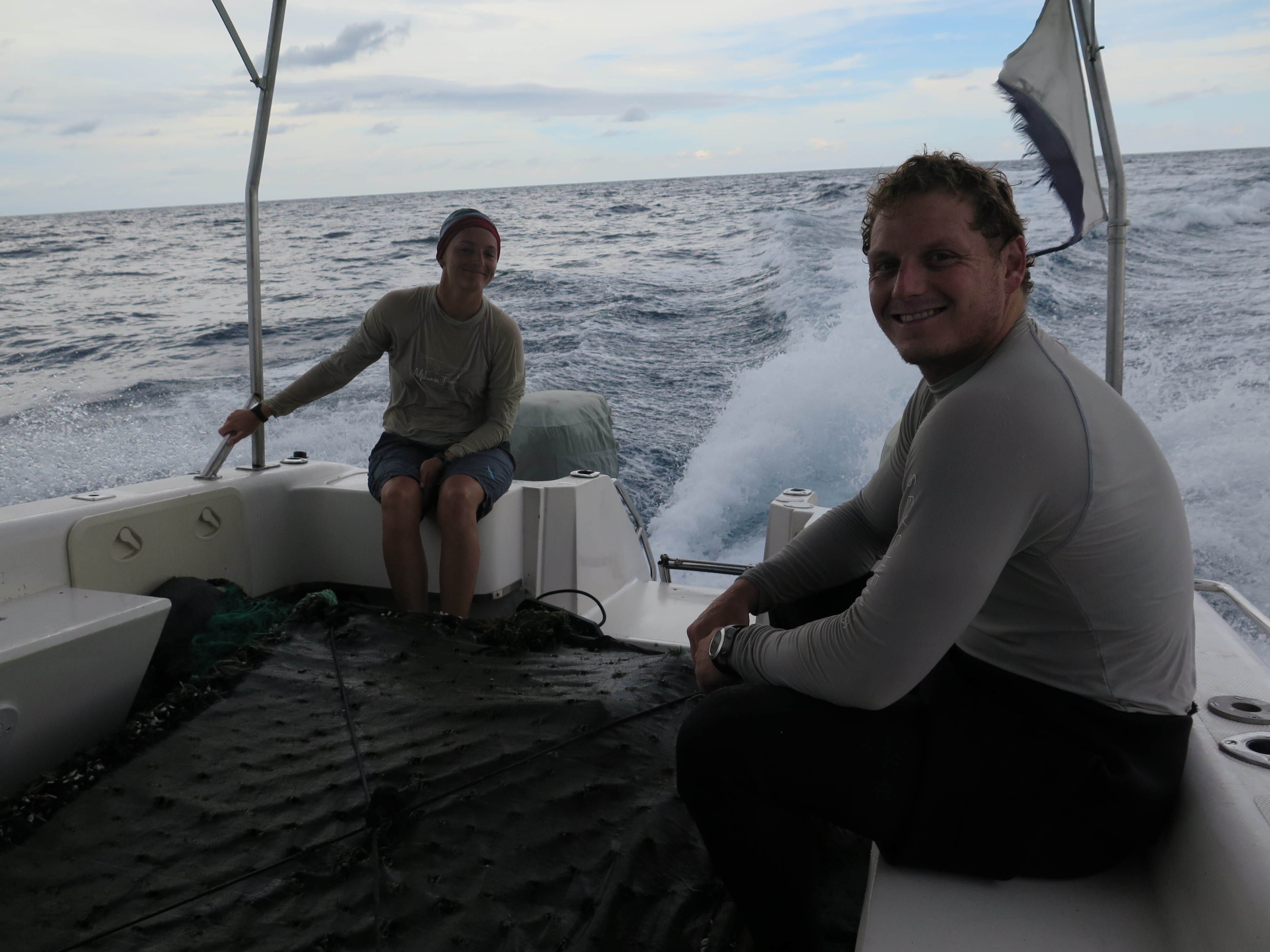
Pieces of Fiberglass Boat
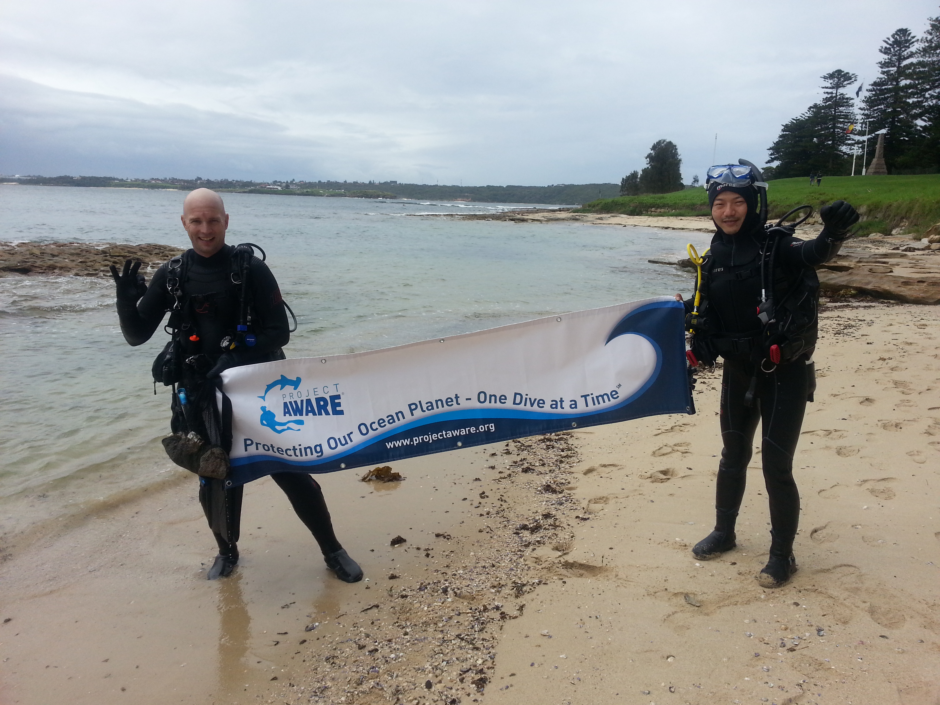
Aldora Divers
Liang Chen
12
6
1
1
1
5
2
28.00
82
36.00
82.00
1
measured
2
2040.00
Plastic items
Fishing line
Tires- have been there a long time and can no longer be collected, too much growth.
2
On
pounds
I have debris data to report
5
Slight for waves 0.5 -1.25 meter high
1
1
ft2


2
7
feet
rocky reef
2
3
1
7
2
1
4
State\Province
Quintana Roo
City
San Miguel, Cozumel
Map Help
Dive Location
If you know your survey site coordinates, enter them manually in decimal degrees using WGS84 Map Datum. Use the minus sign for latitudes south of the equator and longitudes west of the Prime Meridian to 180 degrees.
If you do not know your survey site coordinates, click the “Map Location” tab to use the map to zoom into your survey site and drop the pin on the map to fall within your survey dive site in the water (not on land or the beach). Ensure you zoom in as much as possible to ensure data accuracy.
Entangled Help