ADS230 - Blue Orchid Resort House Reef
6
coral
1
48
9.992227876327421, 123.37057471406297
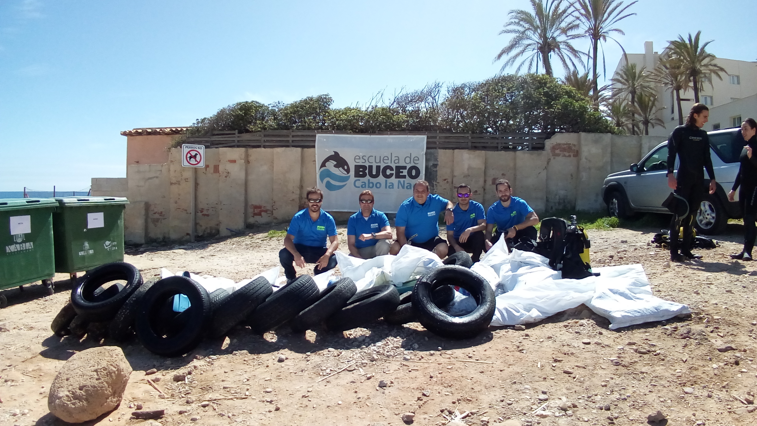
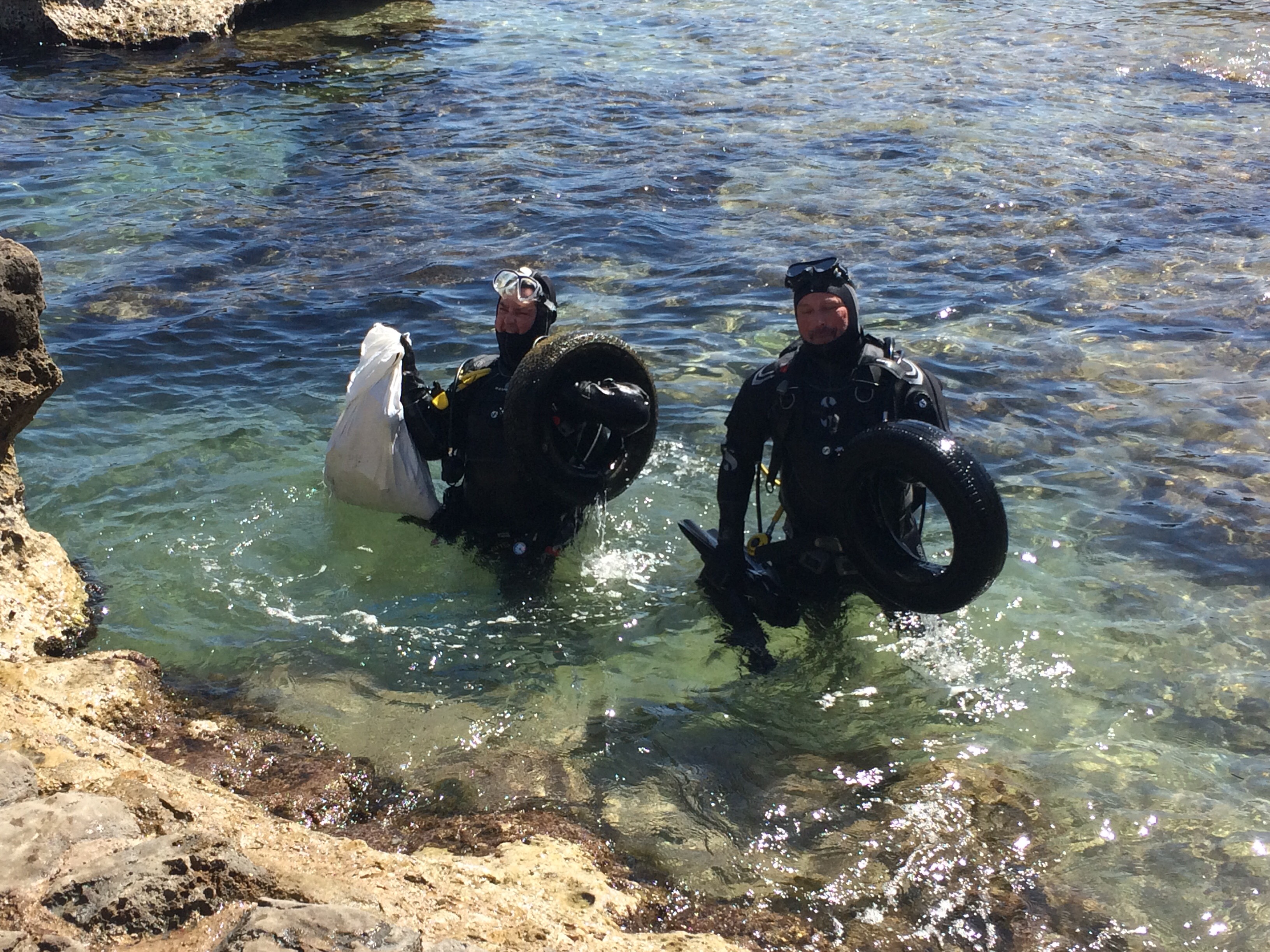
A lot of fishing on the reef, mostly entangled fishing net
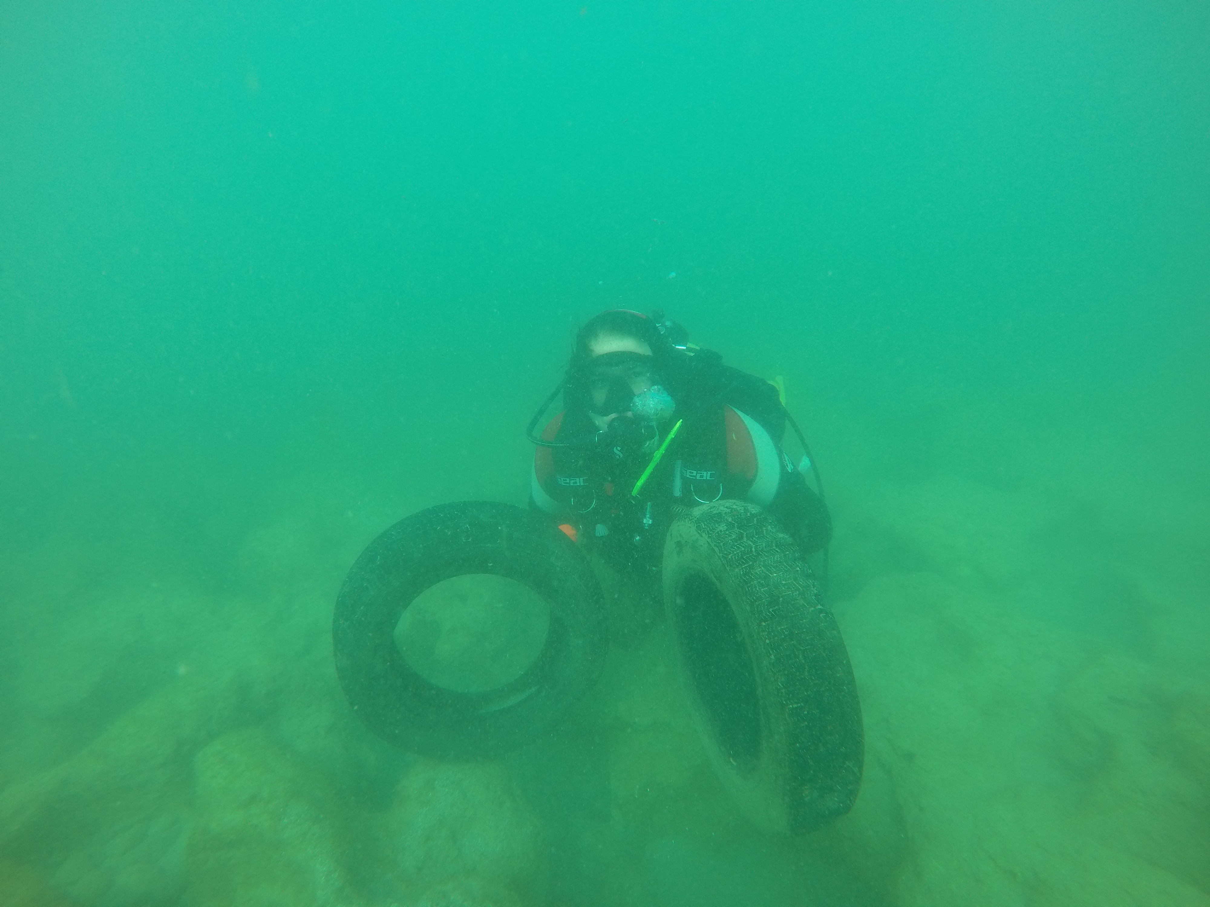
Toy
Calm sea conditions the previous week with North East Monsoon building up in the last few days
Blue Orchid Resort
Richard Sewell
1
8
1
1
1
1.50
50
30.00
5.00
estimated
2
200.00
Fishing Line
Hooks
Plastic
On
kilograms
I have debris data to report
Slight for waves 0.5 -1.25 meter high
2
m2

meters
coral reef
State\Province
Cebu
City
Maloalboal
Map Help
Dive Location
If you know your survey site coordinates, enter them manually in decimal degrees using WGS84 Map Datum. Use the minus sign for latitudes south of the equator and longitudes west of the Prime Meridian to 180 degrees.
If you do not know your survey site coordinates, click the “Map Location” tab to use the map to zoom into your survey site and drop the pin on the map to fall within your survey dive site in the water (not on land or the beach). Ensure you zoom in as much as possible to ensure data accuracy.
Entangled Help