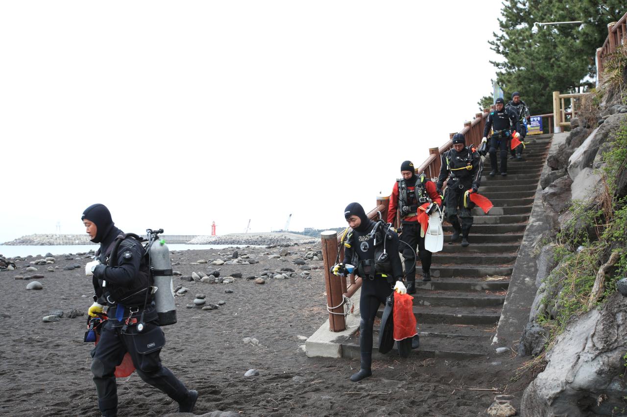
South Pier
7
67
0
3
18
0
1
coral
0
0
0
278
0
12.146760236416, -68.277336526662
Road sign
Sunny, strong winds from East
4
20
1
1
2
6
3
1
1
1
2
2
5
Sunglasses
Hats
Yamaha motor cap
Goggles
Rake
underwear
padel
road sign
Flott tile
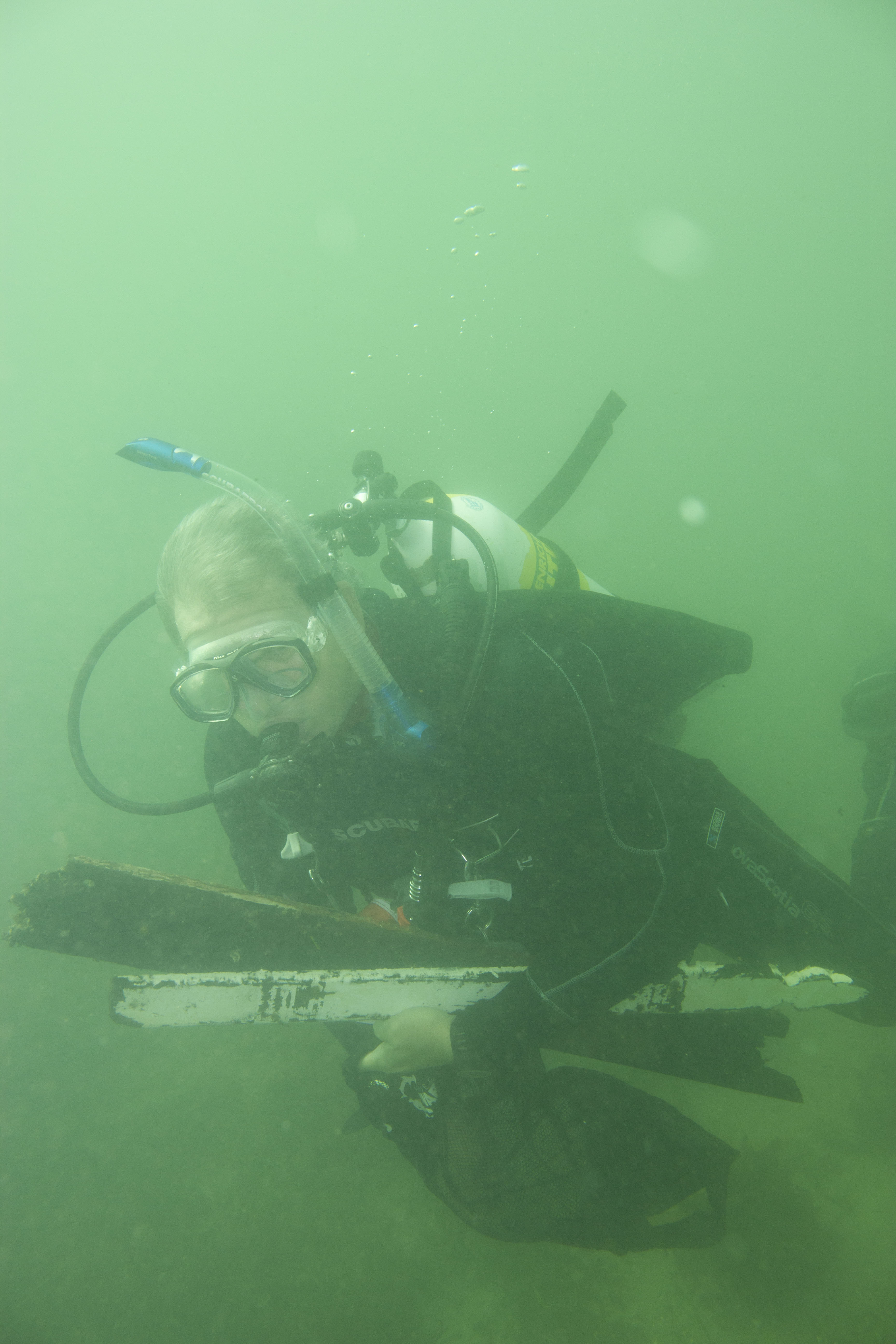
Dive knife
Copper pipes
Tarp
Banner/flag
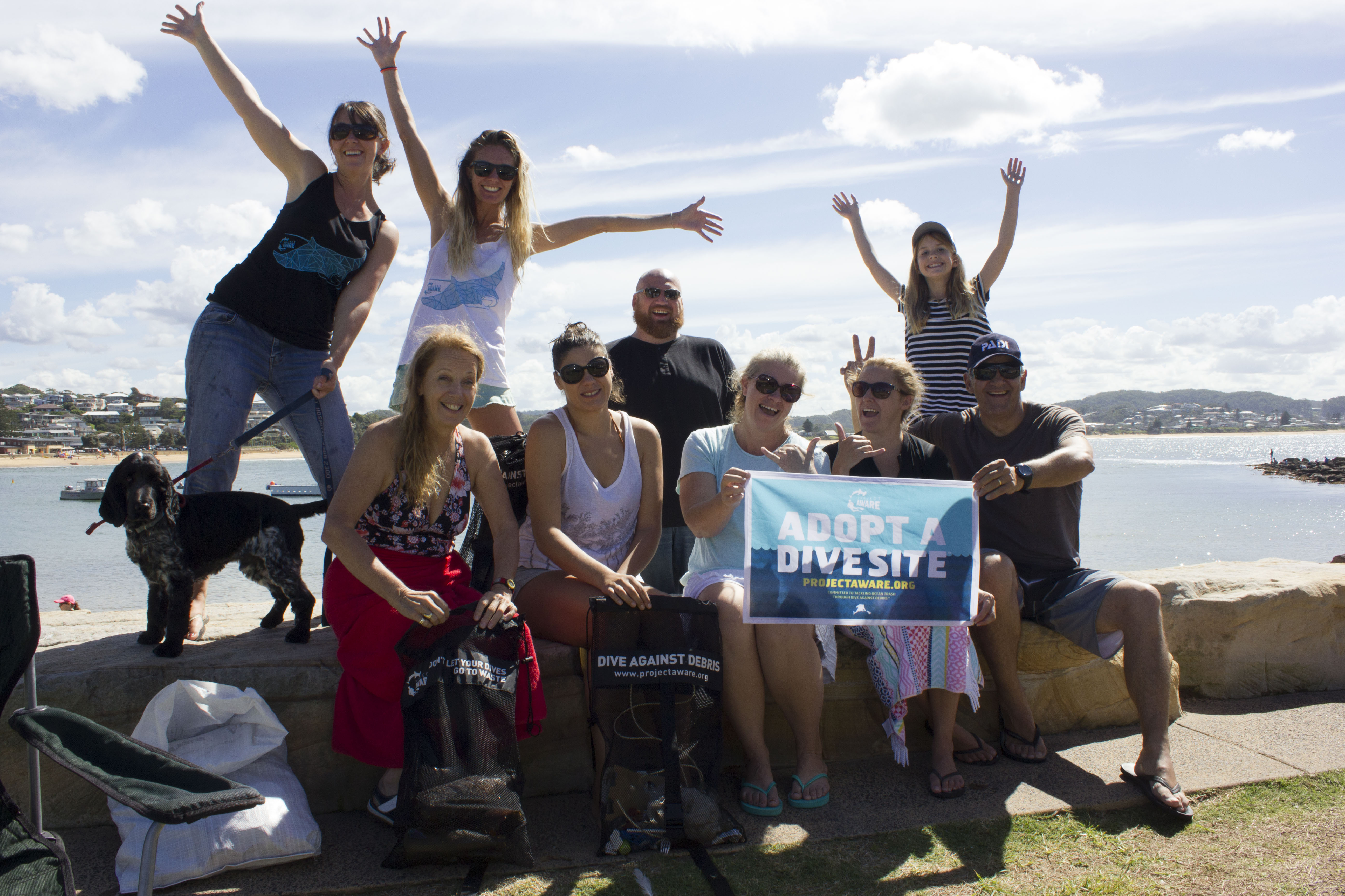
Dive Friends Bonaire
Jesika Schilder
0
4
0
35
10
0
0
0
2
1
0
0
3
6
0
1
1
5
15
105
9
1
1
6
4
2
14
0
0
11
0
0
0
1
0
0
700.00
120
40.00
1.00
1
estimated
0
0
0
0
655.00
0
0
0
4
1
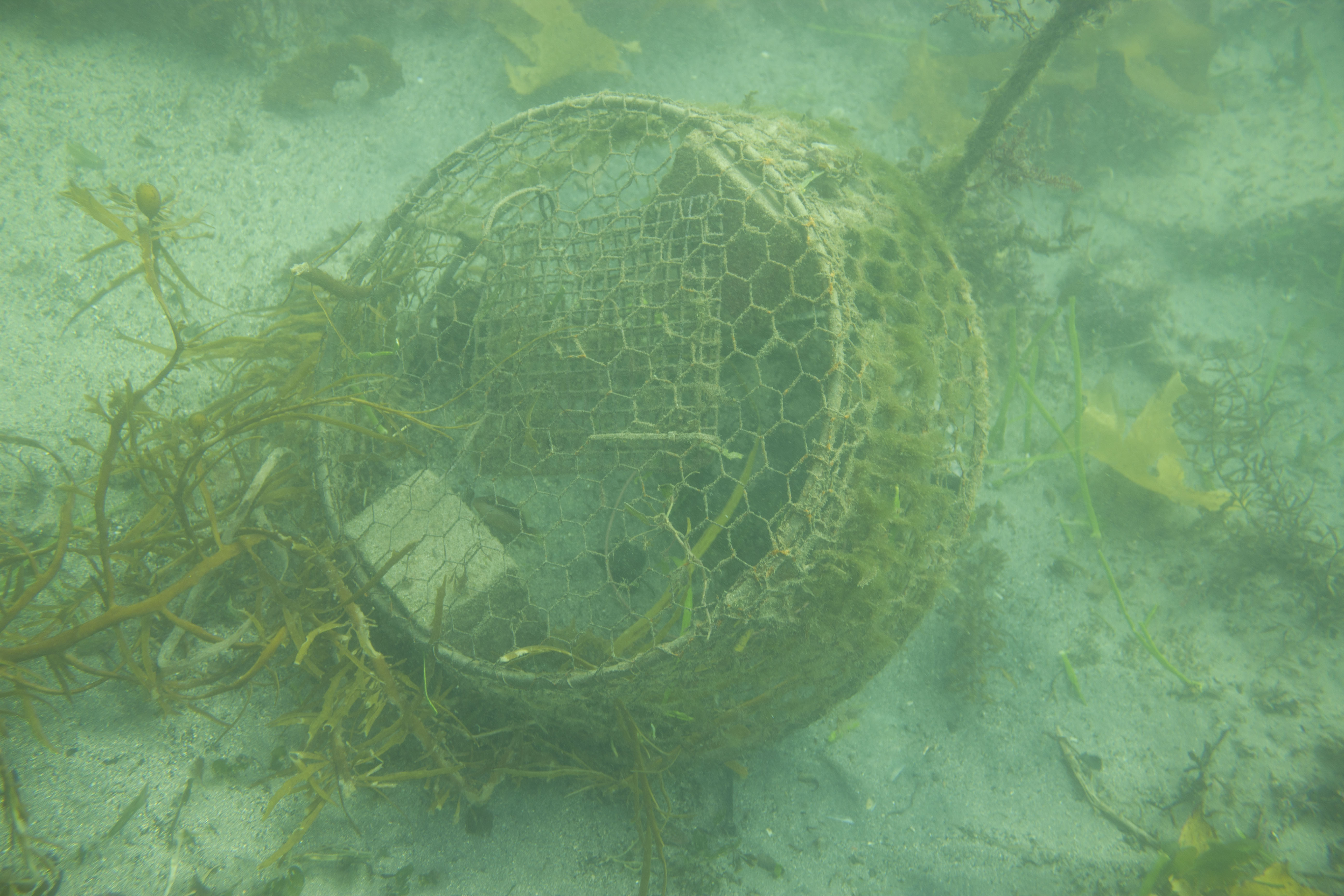
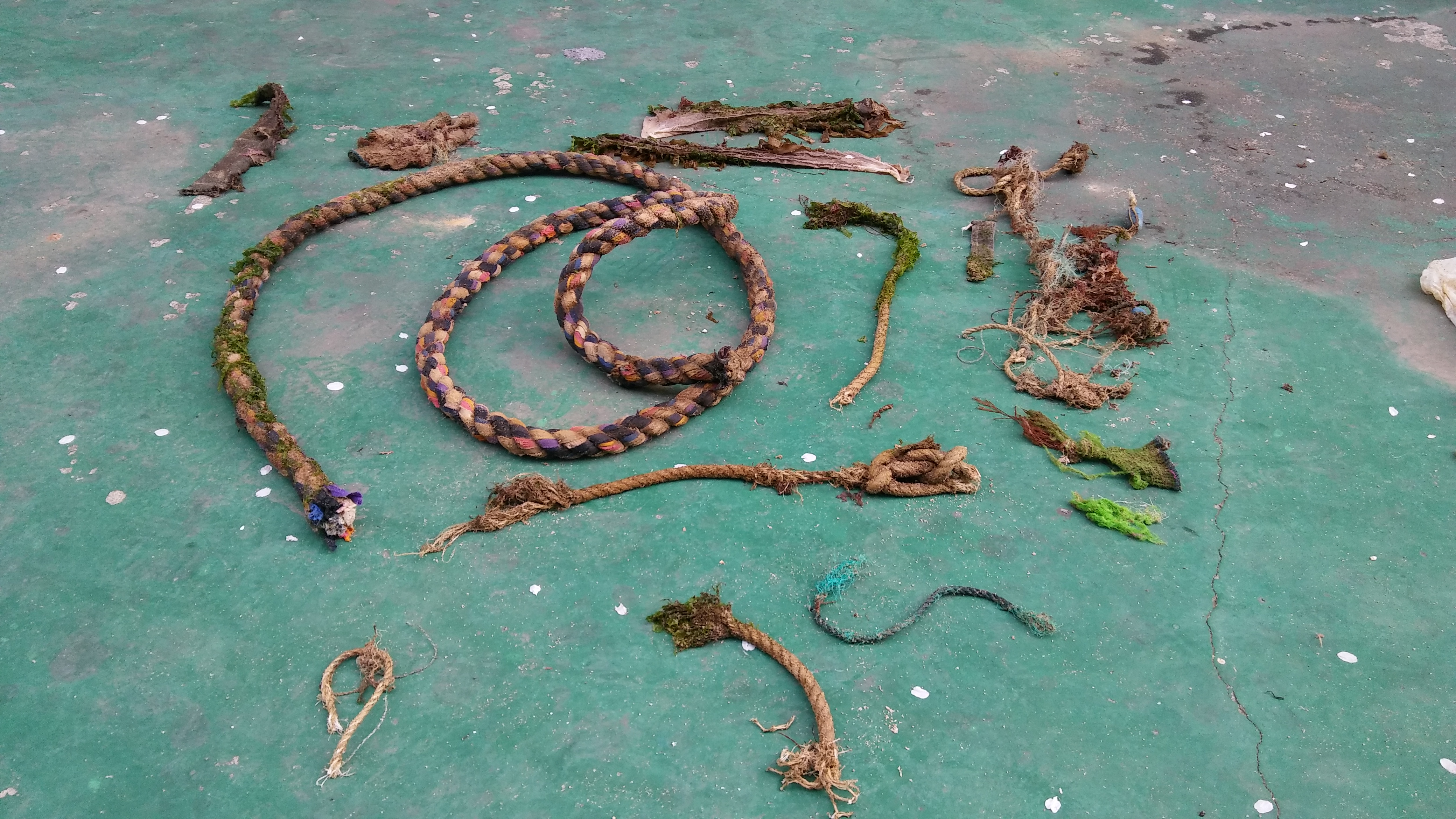
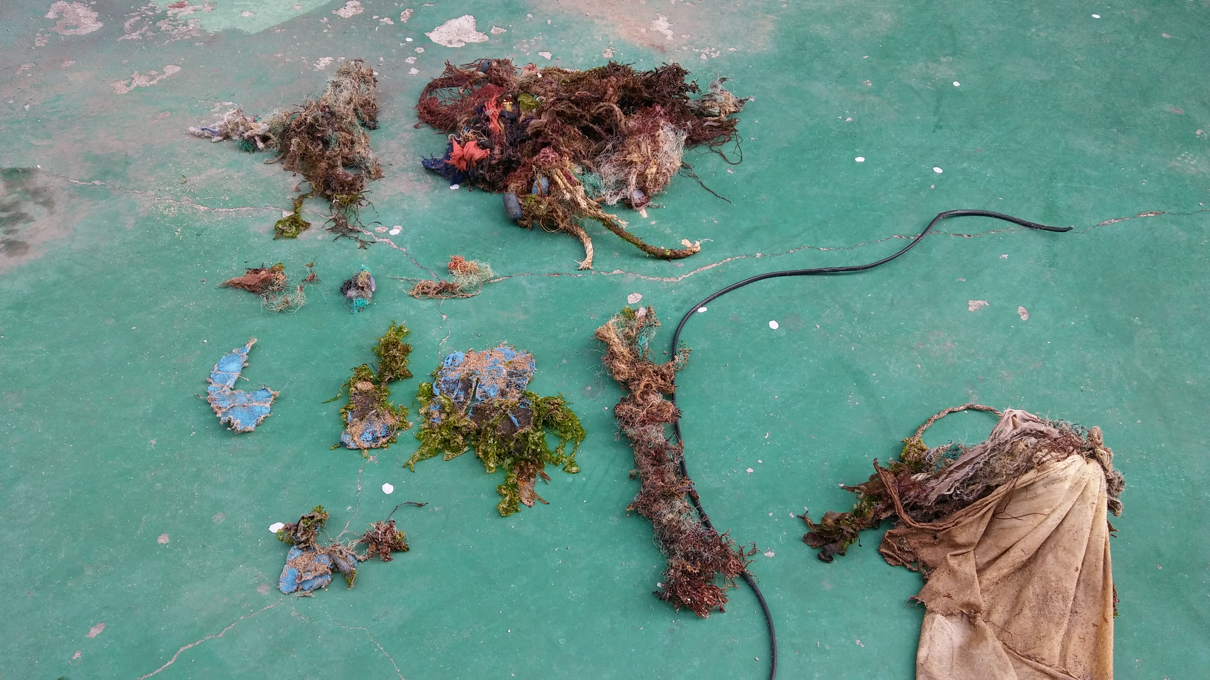
Fishing line
Ropes
Plastic
5
On
kilograms
0
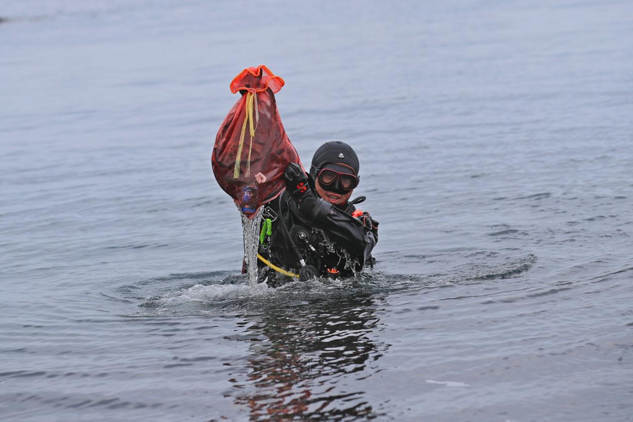
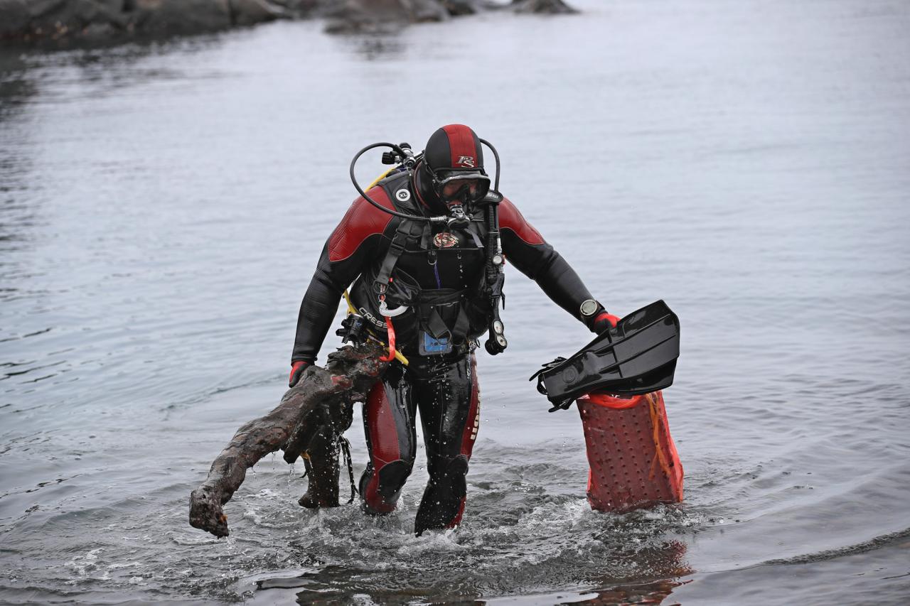
I have debris data to report
99
0
0
Slight for waves 0.5 -1.25 meter high
1
0
7
0
0
0
18
1
2
m2
5
7
meters
coral reef
20
12
1
0
1
30
0
4
3
8
1
0
0
3
14
20
45
28
1
0
12
0
72
0
1
2
0
11
0
State\Province
Bonaire
City
Kralendijk
Map Help
Dive Location
If you know your survey site coordinates, enter them manually in decimal degrees using WGS84 Map Datum. Use the minus sign for latitudes south of the equator and longitudes west of the Prime Meridian to 180 degrees.
If you do not know your survey site coordinates, click the “Map Location” tab to use the map to zoom into your survey site and drop the pin on the map to fall within your survey dive site in the water (not on land or the beach). Ensure you zoom in as much as possible to ensure data accuracy.
Entangled Help