Star beach Area
55
8
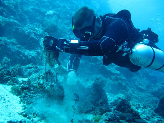
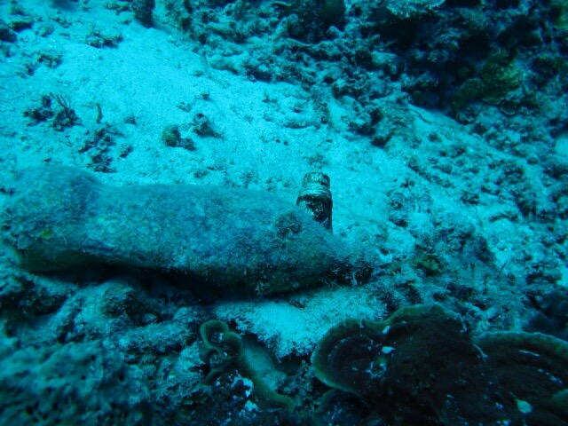
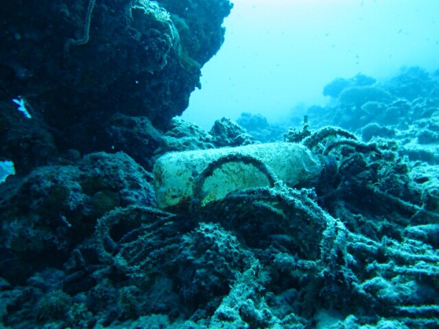
coral
57
11.203724619172684, 119.27032202482224
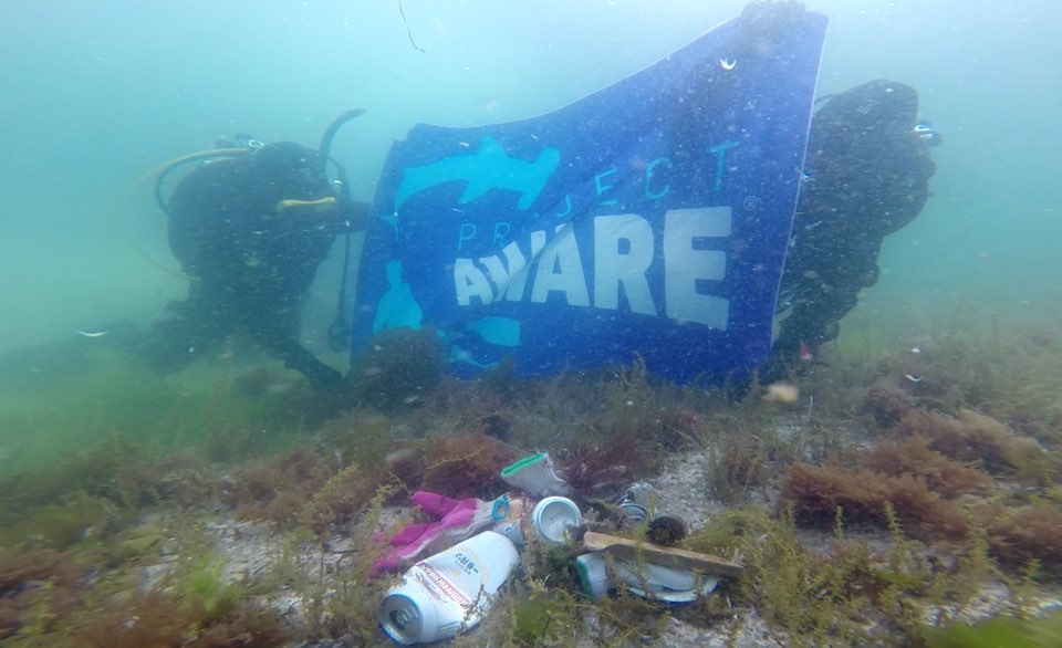
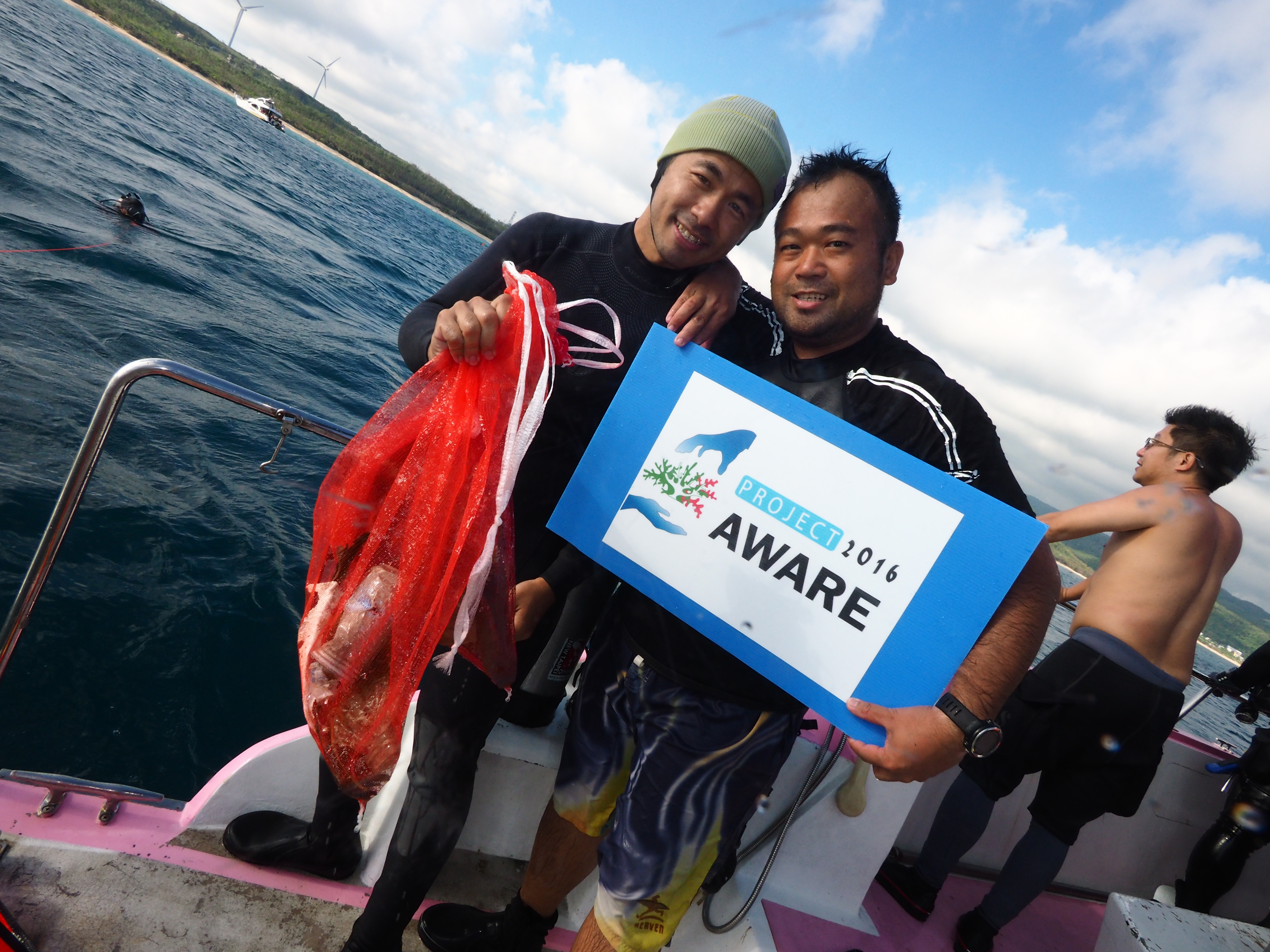
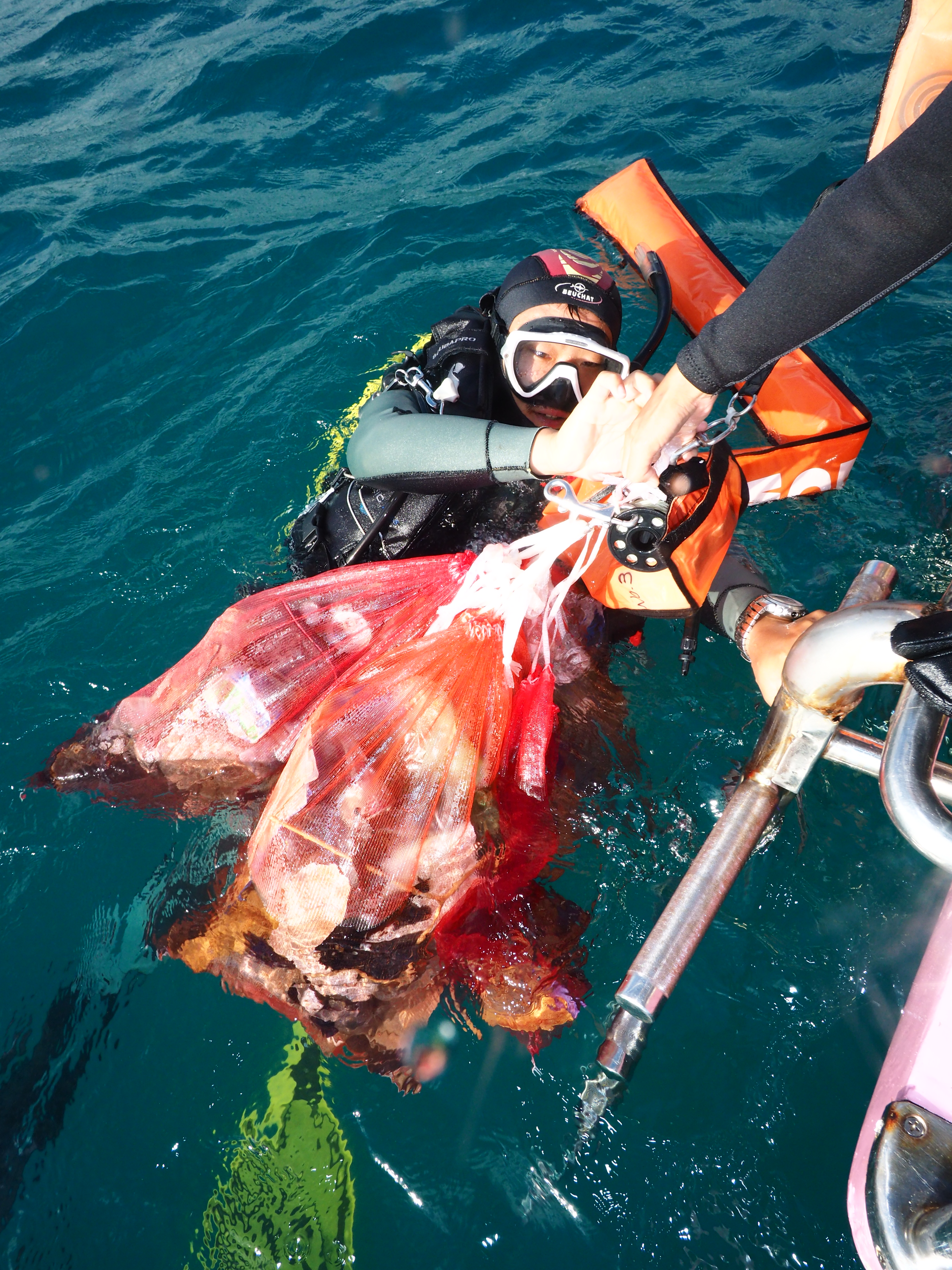
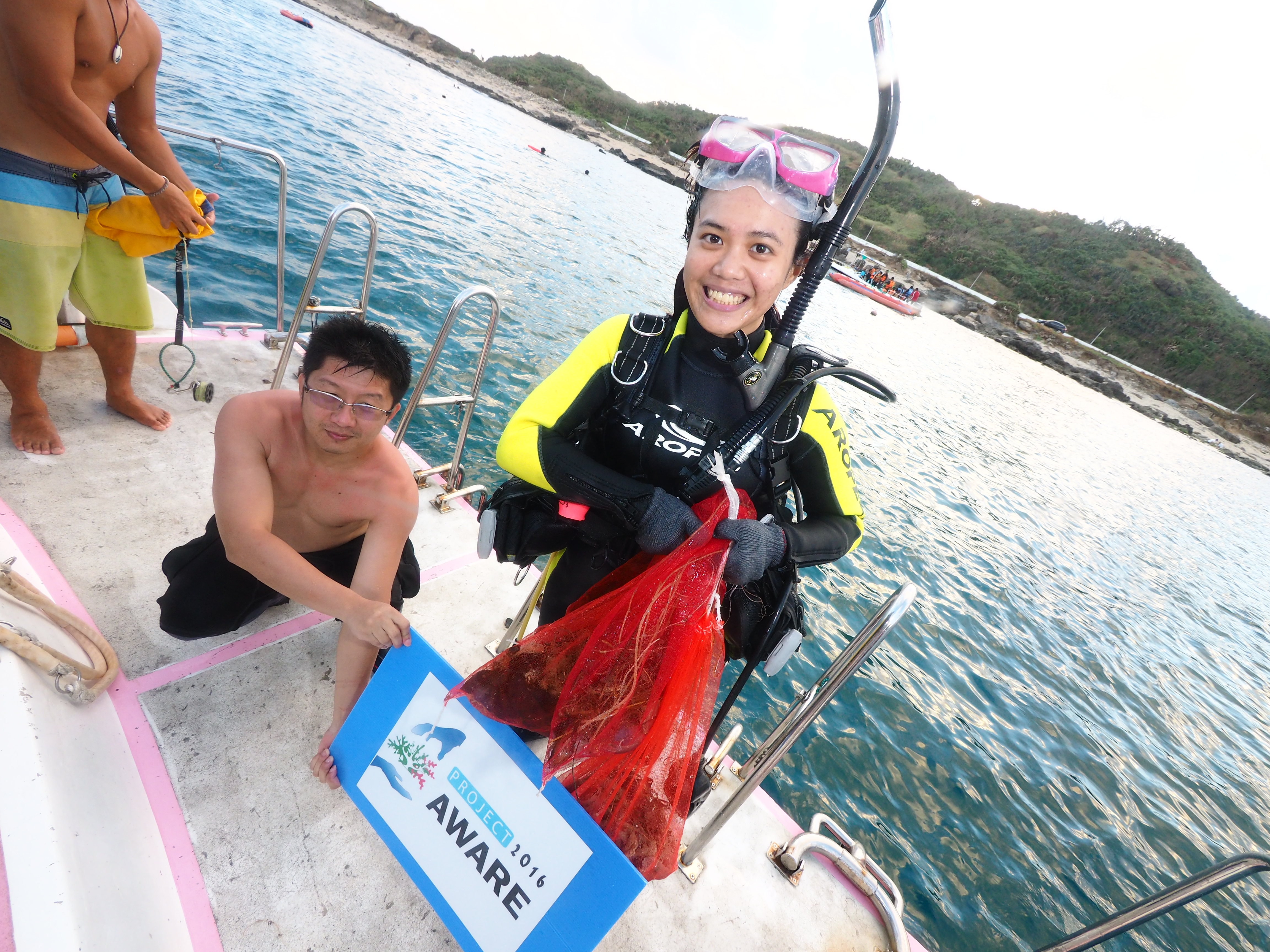
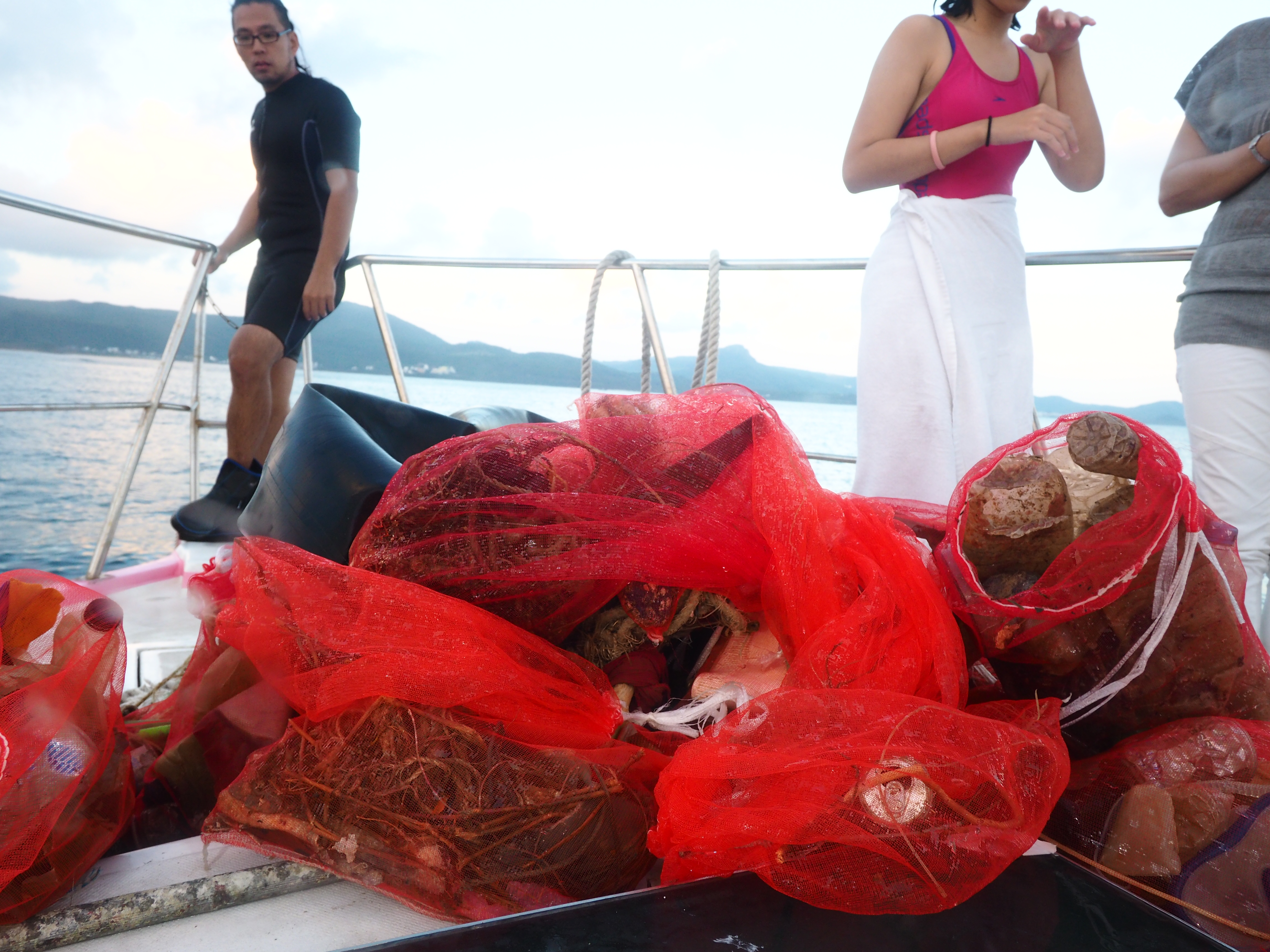
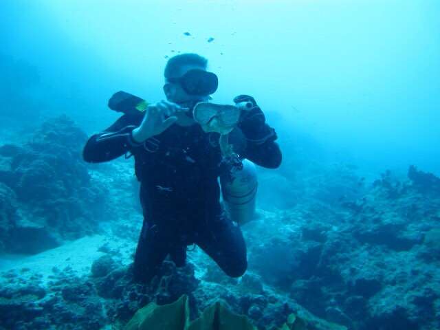
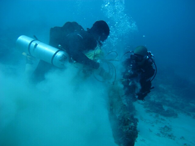
Being able to know that our sea is taking a lot of debris in it, we need to act, we need to protect it.We are not doing it cuz we wanted to be famous, its not that we wanted others to talk about us. What we wanted is to spread the word that we have done something so you can also be awaken and ask yoursef. "Is it just us that needs a HOME??" PROTECT OCEAN, MAKE IT FREE FROM DEBRI!!!!
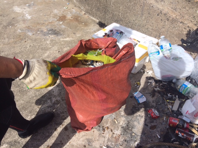
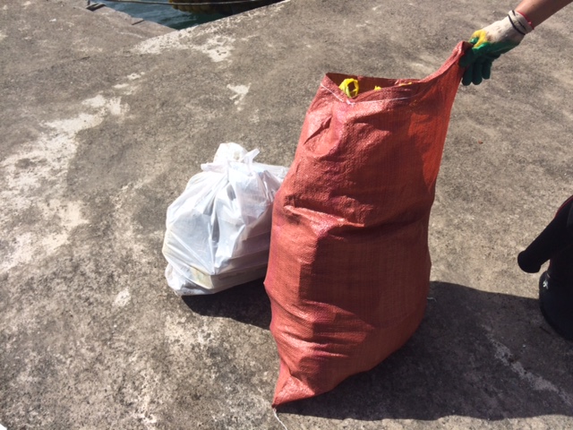
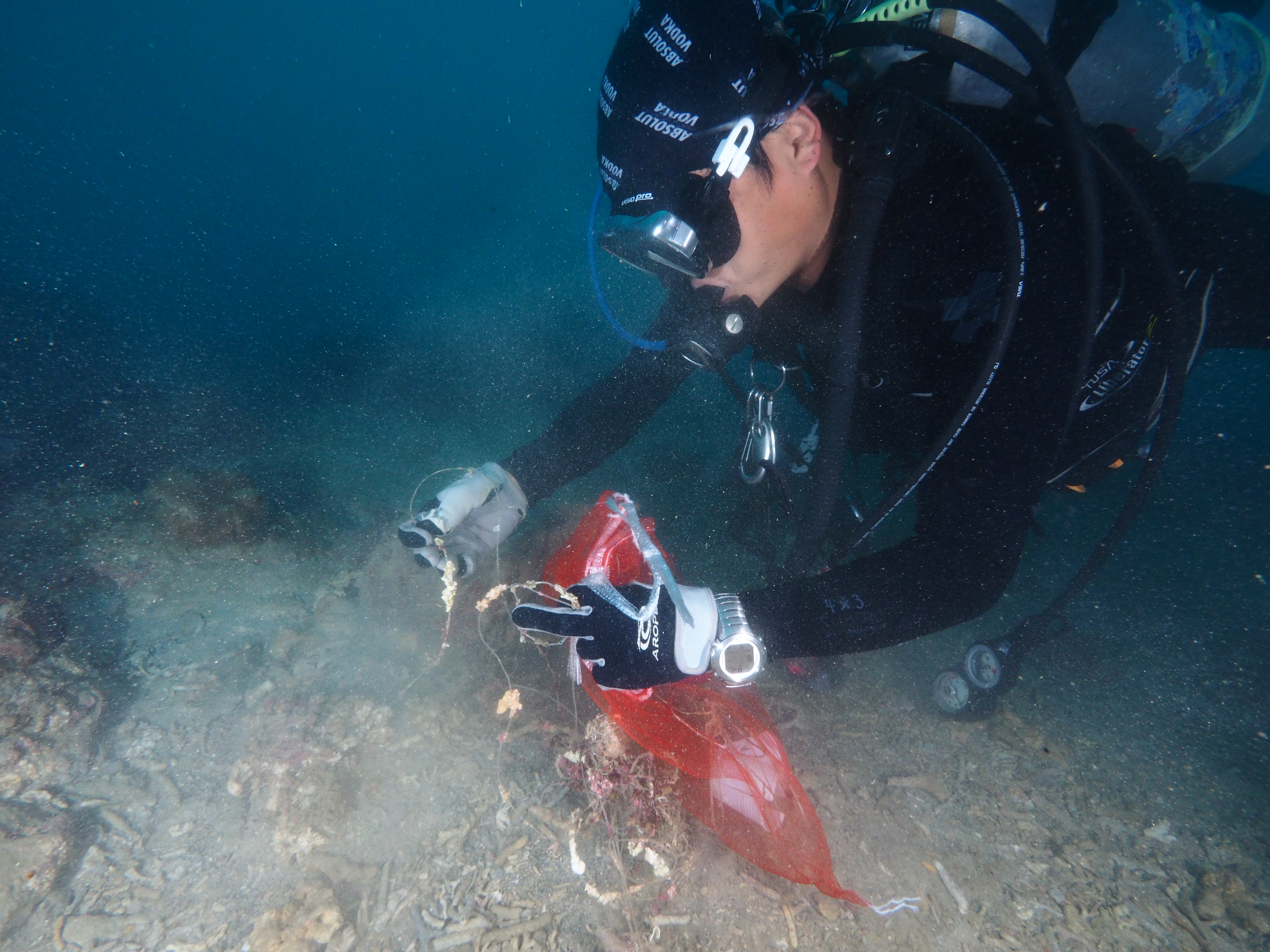
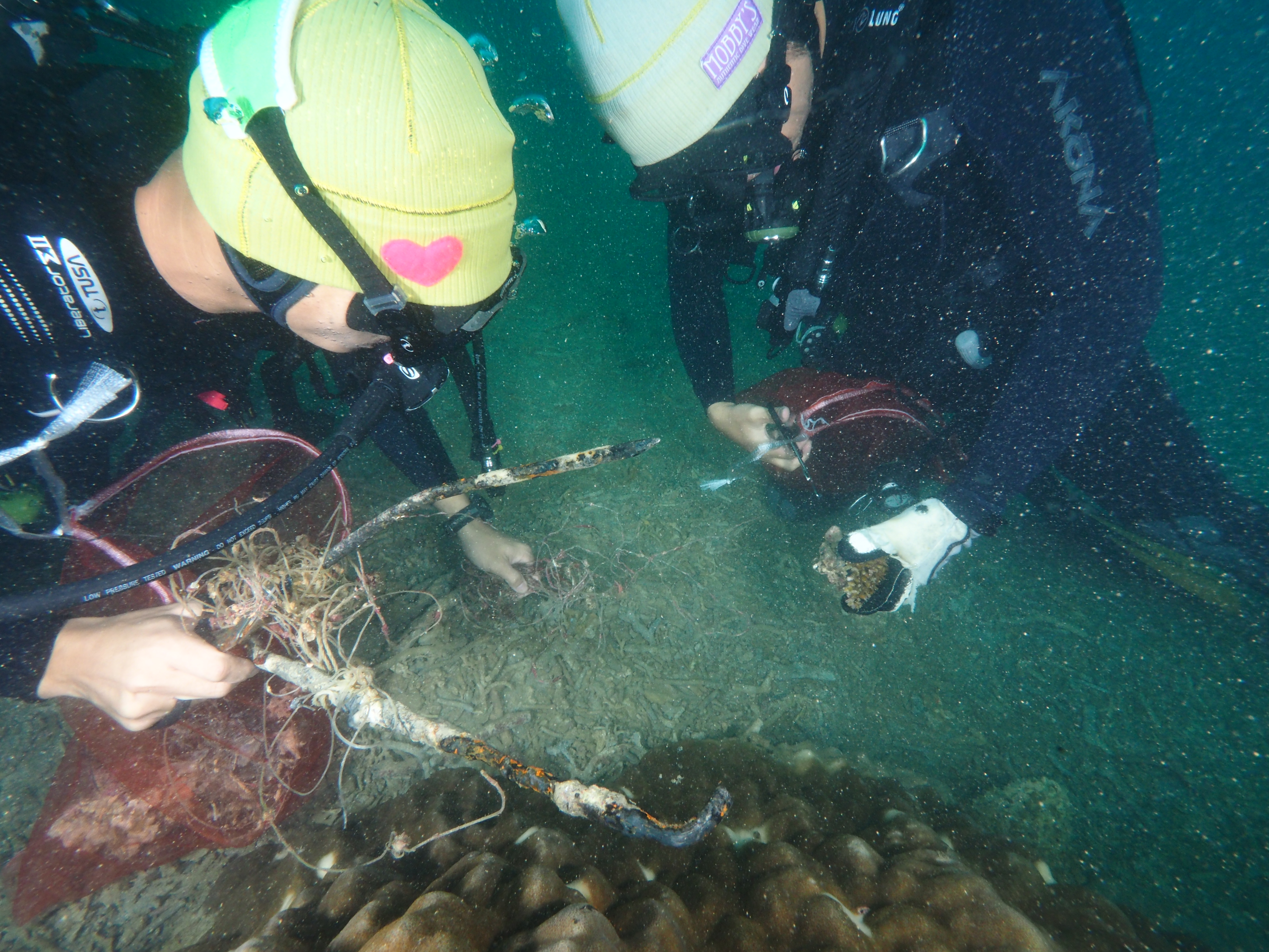
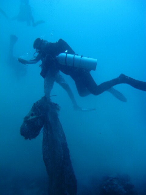
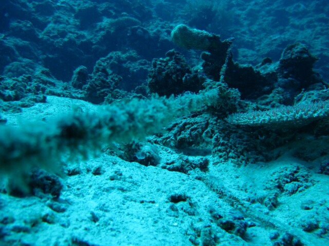
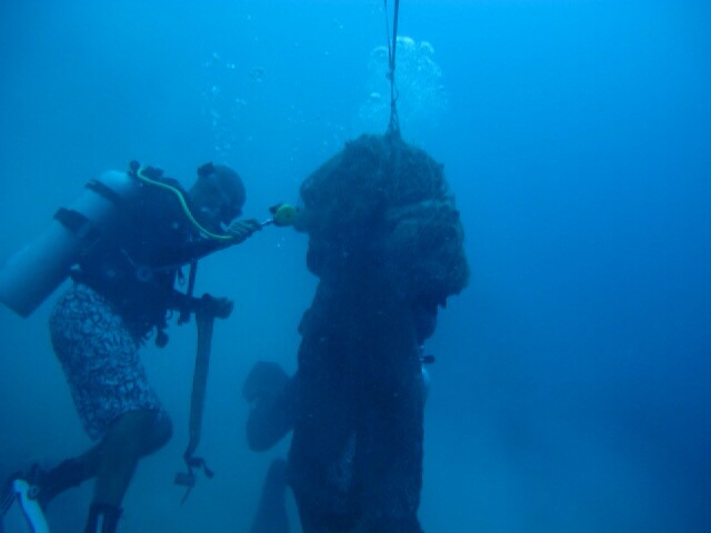
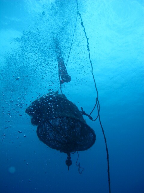
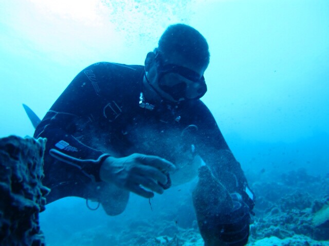
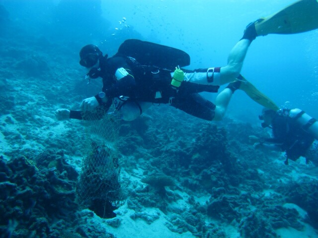
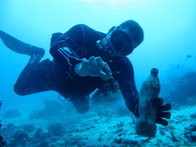
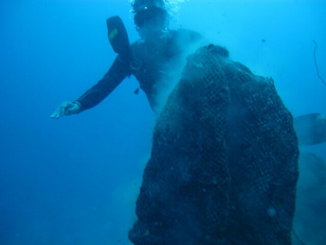
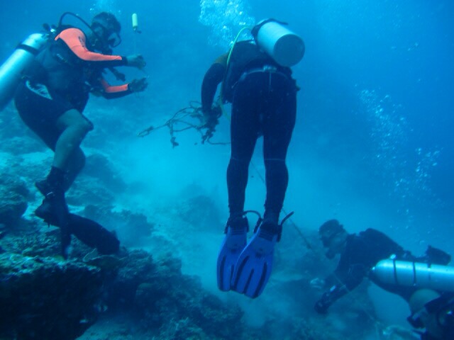
We gathered numbers of plastic bottles lying under the sea bed, a very big fish net maybe they use it to hunt a big fish also. Numerous numbers of fishing net scattered around the area and also a lot of ropes.
Please help and rescue our Underwater Environment, remove the things that are not belong in it cuz it will surely destroy the marine life. Think about the future not only for today, keep it for the next generation and pass it through a lifetime.
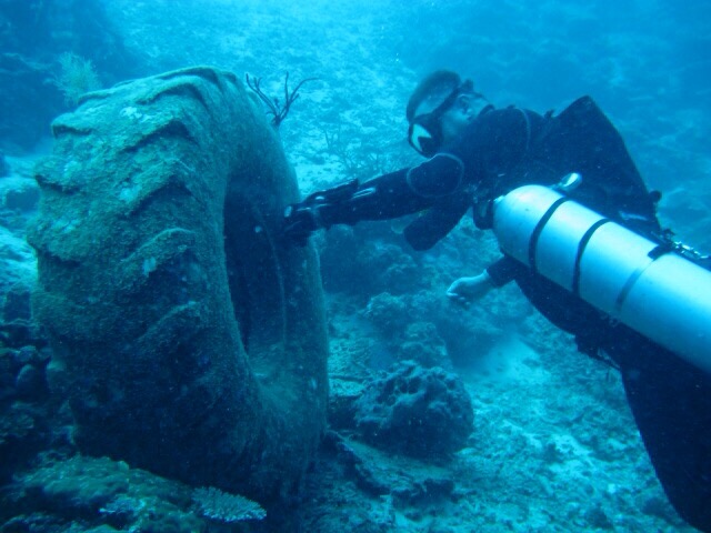
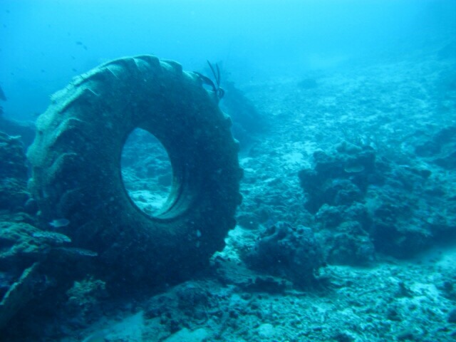
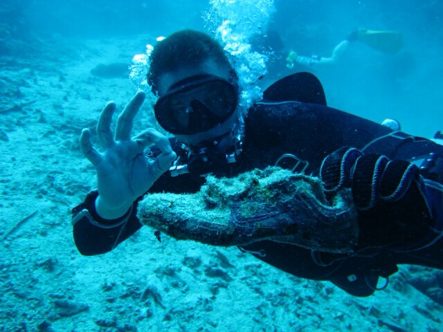
A Shoe & a really big tire truck.
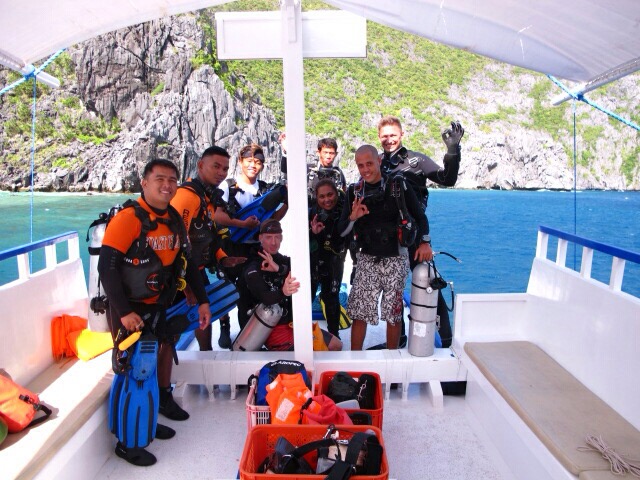
Good weather, sunny & little bit of cloudy
4
Socks
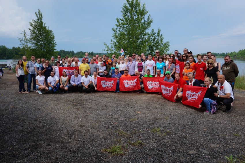
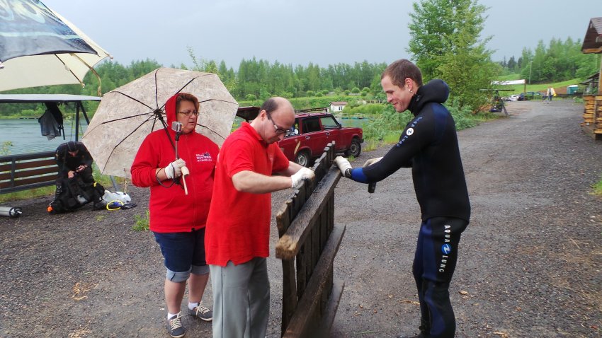
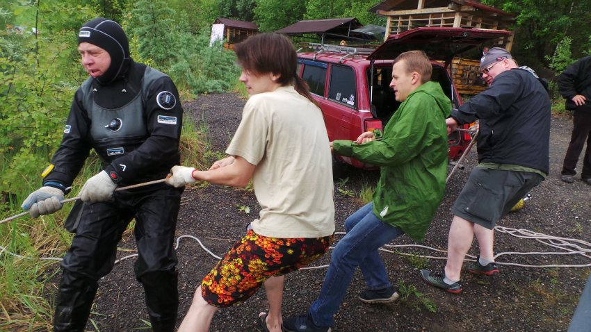
Submariner Diving Center
Ronny Oliwka
1
2
8
1
96
1
87.50
45
21.00
9.00
11
measured
1
1
3000.00
1
2
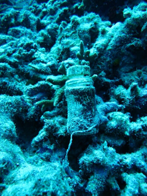
Plastic bottles
Plastic fragments
Fishing nets and Ropes
On
kilograms
I have debris data to report
2
Calm (glassy to rippled) for waves 0 – 0.1 meter high
6
2
m2
11
meters
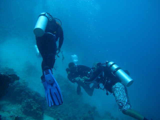
coral reef
1
3
5
State\Province
EL nido, Palawan
City
Puerto Princesa
Map Help
Dive Location
If you know your survey site coordinates, enter them manually in decimal degrees using WGS84 Map Datum. Use the minus sign for latitudes south of the equator and longitudes west of the Prime Meridian to 180 degrees.
If you do not know your survey site coordinates, click the “Map Location” tab to use the map to zoom into your survey site and drop the pin on the map to fall within your survey dive site in the water (not on land or the beach). Ensure you zoom in as much as possible to ensure data accuracy.
Entangled Help