ADS19 - Camp Cove South - around Green Point
6
7
3
-33.840301, 151.277745
12
sand
1
500
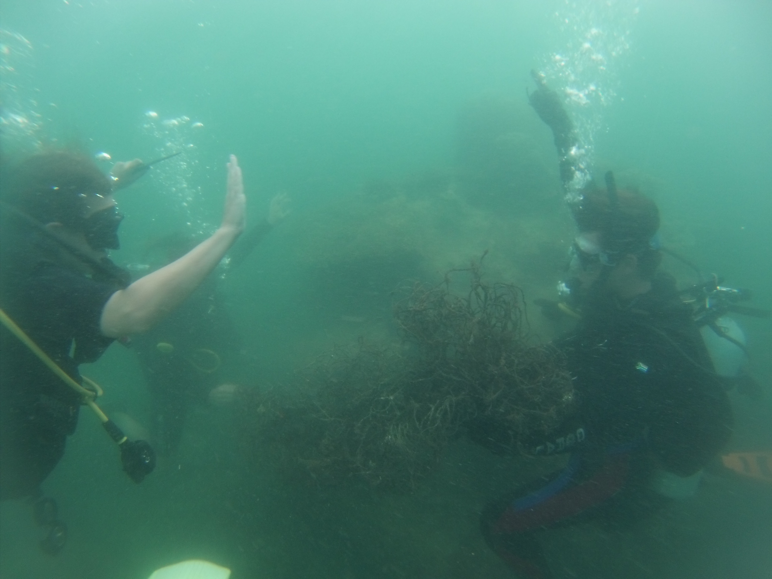
Fishing and recreational activity in the area
Underwater Research Group of NSW
Rianti Bieler
1
6
4
1
2
1
7.00
65
8.00
1.00
estimated
70
10000.00
1
Fishing line and lures
2
On
kilograms
I have debris data to report
1
Calm (glassy to rippled) for waves 0 – 0.1 meter high
4
m2
meters
rocky reef
1
4
1
13
State\Province
New South Wales
City
Watsons Bay
Map Help
Dive Location
If you know your survey site coordinates, enter them manually in decimal degrees using WGS84 Map Datum. Use the minus sign for latitudes south of the equator and longitudes west of the Prime Meridian to 180 degrees.
If you do not know your survey site coordinates, click the “Map Location” tab to use the map to zoom into your survey site and drop the pin on the map to fall within your survey dive site in the water (not on land or the beach). Ensure you zoom in as much as possible to ensure data accuracy.
Entangled Help