
MacDill Air Force Base, Tampa, Florida,
2
sand
27.855576480647, -82.481832671911
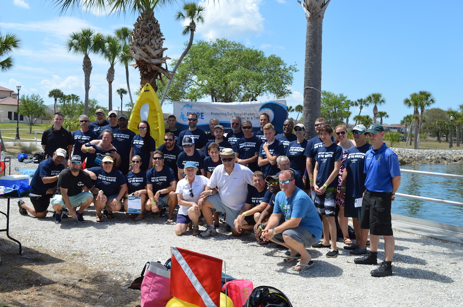
Please read our amazing story here:
http://www.projectaware.org/updates/5-star-padi-dive-facility-calypso-tampa-makes-history-first-ever-project-aware-dive-against
http://www.projectaware.org/updates/5-star-padi-dive-facility-calypso-tampa-makes-history-first-ever-project-aware-dive-against
Calypso Tampa
Ed/Marge Krawczyk - Suzanna Sharkey - Thomas Koch
1
2
40
2
1
6.53
45
15.00
10.00
3
measured
1504.00
On
pounds
I have debris data to report
1
Smooth (wavelets) for waves 0.1 - 0.5 meter high
ft2
feet
seagrass
1
2
State\Province
FL
City
Tampa
Map Help
Dive Location
If you know your survey site coordinates, enter them manually in decimal degrees using WGS84 Map Datum. Use the minus sign for latitudes south of the equator and longitudes west of the Prime Meridian to 180 degrees.
If you do not know your survey site coordinates, click the “Map Location” tab to use the map to zoom into your survey site and drop the pin on the map to fall within your survey dive site in the water (not on land or the beach). Ensure you zoom in as much as possible to ensure data accuracy.
Entangled Help


