ADS294 - Braco Wall
14
18.481353557127, -77.461740591316
15
5
18.481353557127, -77.461740591316
rough seas, high winds
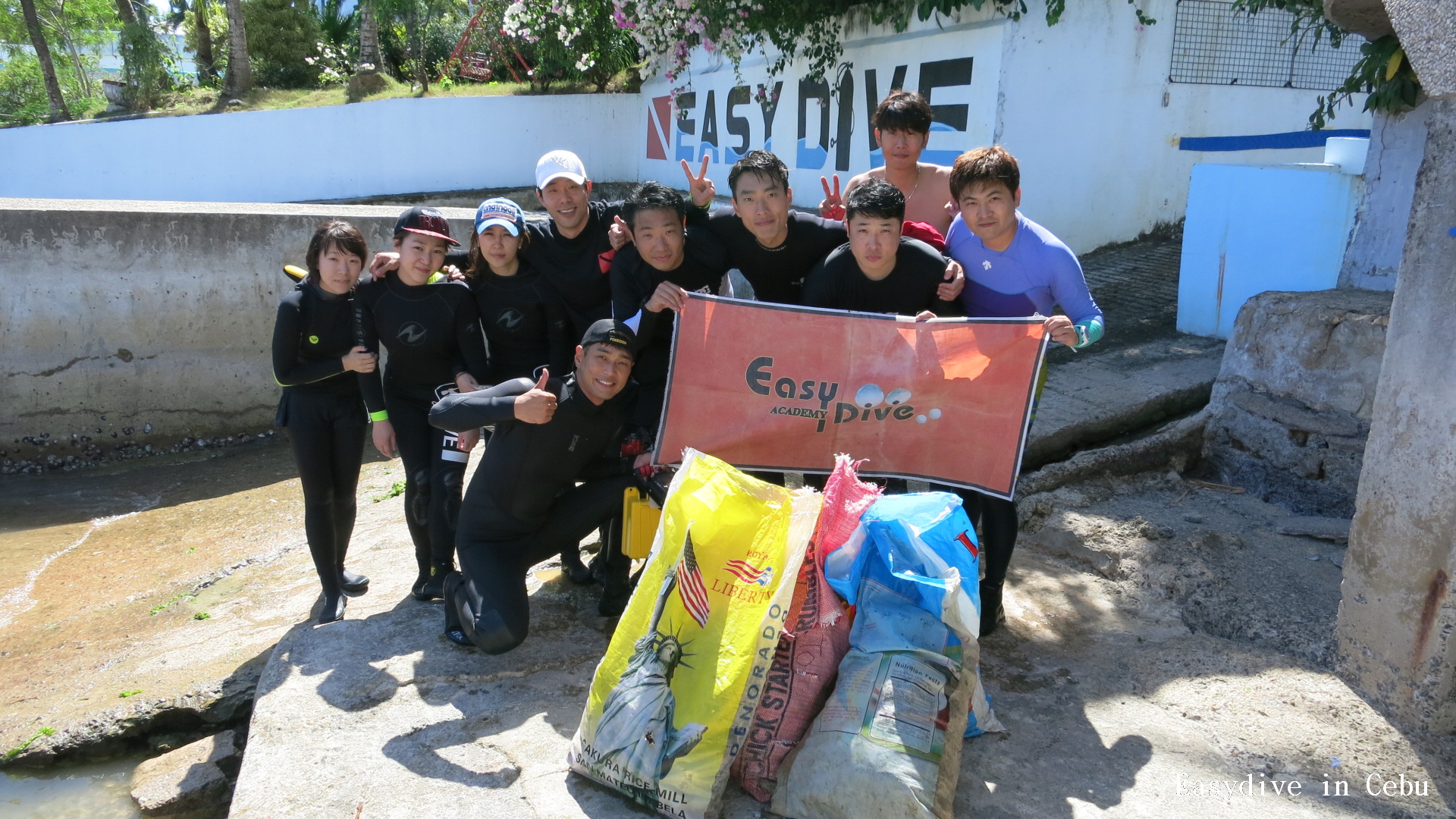
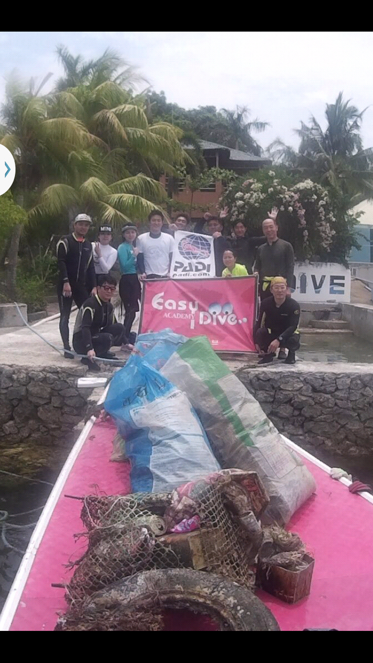
Sandals Resorts
Michael Clarke
7
19
3
13
3
9
25
2
3
12.00
45
40.00
12.00
estimated
2378.51
On
pounds
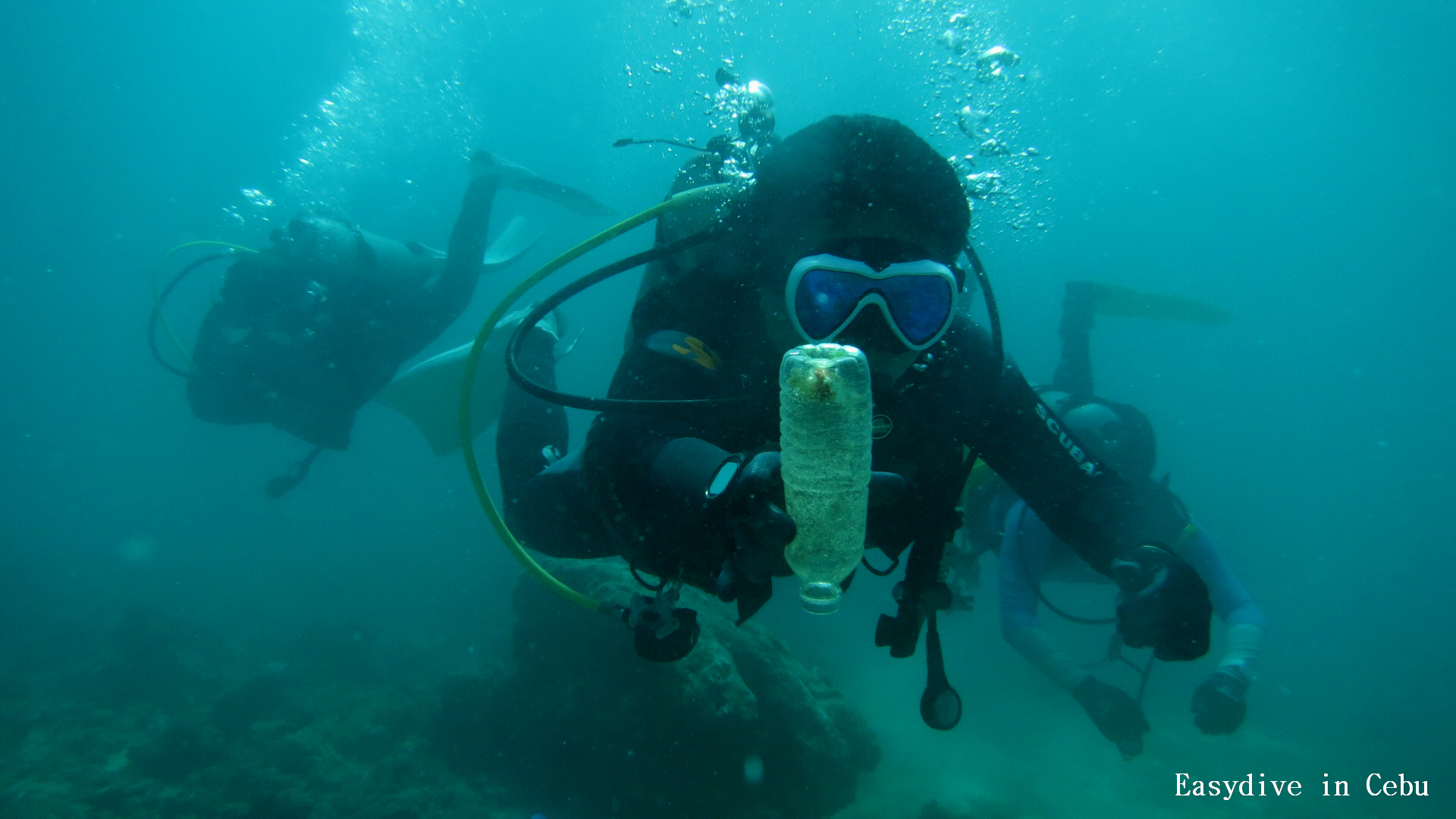
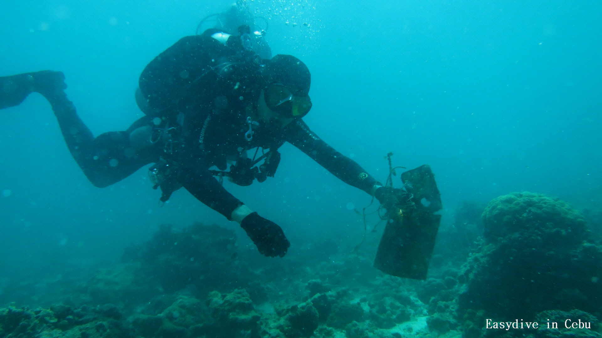
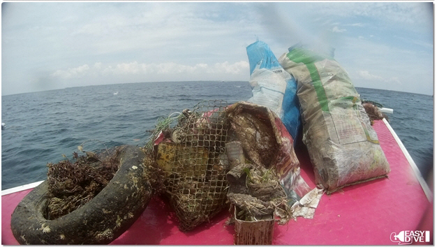
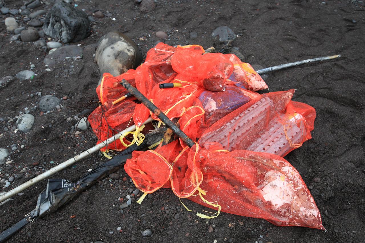
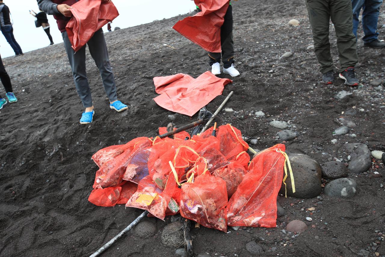
Our Survey Site was free of debris
Slight for waves 0.5 -1.25 meter high
ft2
feet
rocky reef
State\Province
Saint James
City
Montego Bay
Map Help
Dive Location
If you know your survey site coordinates, enter them manually in decimal degrees using WGS84 Map Datum. Use the minus sign for latitudes south of the equator and longitudes west of the Prime Meridian to 180 degrees.
If you do not know your survey site coordinates, click the “Map Location” tab to use the map to zoom into your survey site and drop the pin on the map to fall within your survey dive site in the water (not on land or the beach). Ensure you zoom in as much as possible to ensure data accuracy.
Entangled Help