ADS204 - Rye Pier
3
-38.368509, 144.822348
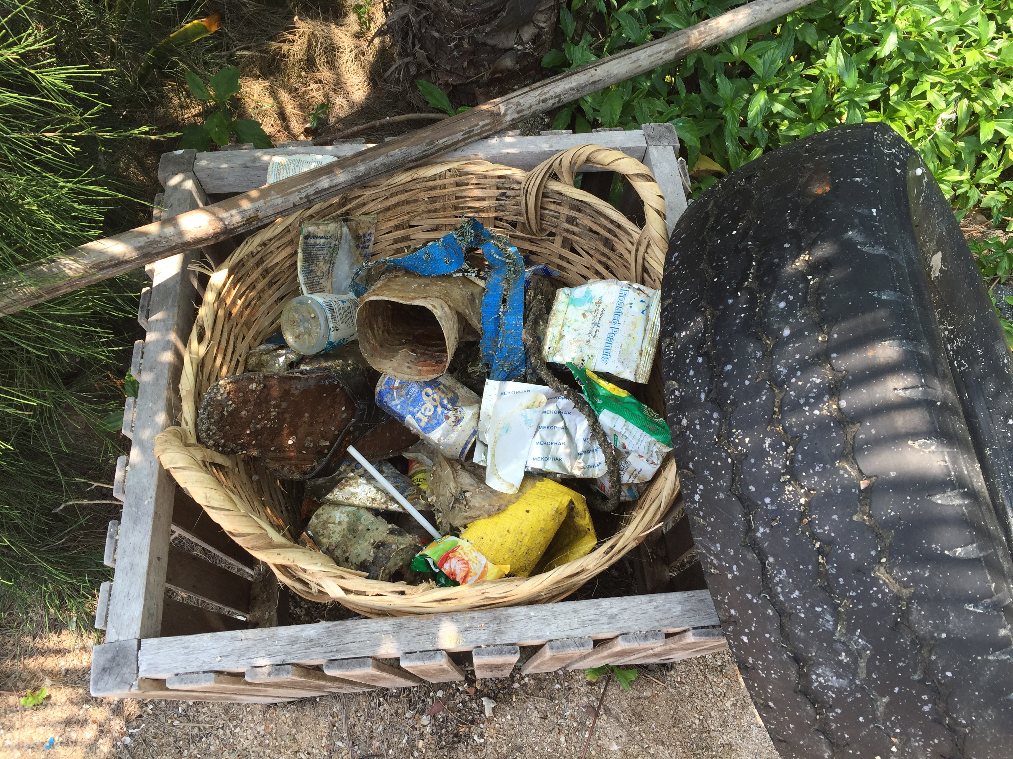
High tides broke a part of the pier, which I believe led to the metal we found
Clay pipe, circa 1900, which was given to one of the divers to take to the local maritime museum
Sunny, but slightly windy
1
Clay Pipe, circa 1900
Oliver Payne
10
6
9
4
8.00
45
6.00
1.00
estimated
3000.00
Metal rebar and fragments
On
kilograms
I have debris data to report
4
Smooth (wavelets) for waves 0.1 - 0.5 meter high
5
m2
meters
seagrass
20
12
Map Help
Dive Location
If you know your survey site coordinates, enter them manually in decimal degrees using WGS84 Map Datum. Use the minus sign for latitudes south of the equator and longitudes west of the Prime Meridian to 180 degrees.
If you do not know your survey site coordinates, click the “Map Location” tab to use the map to zoom into your survey site and drop the pin on the map to fall within your survey dive site in the water (not on land or the beach). Ensure you zoom in as much as possible to ensure data accuracy.
Entangled Help