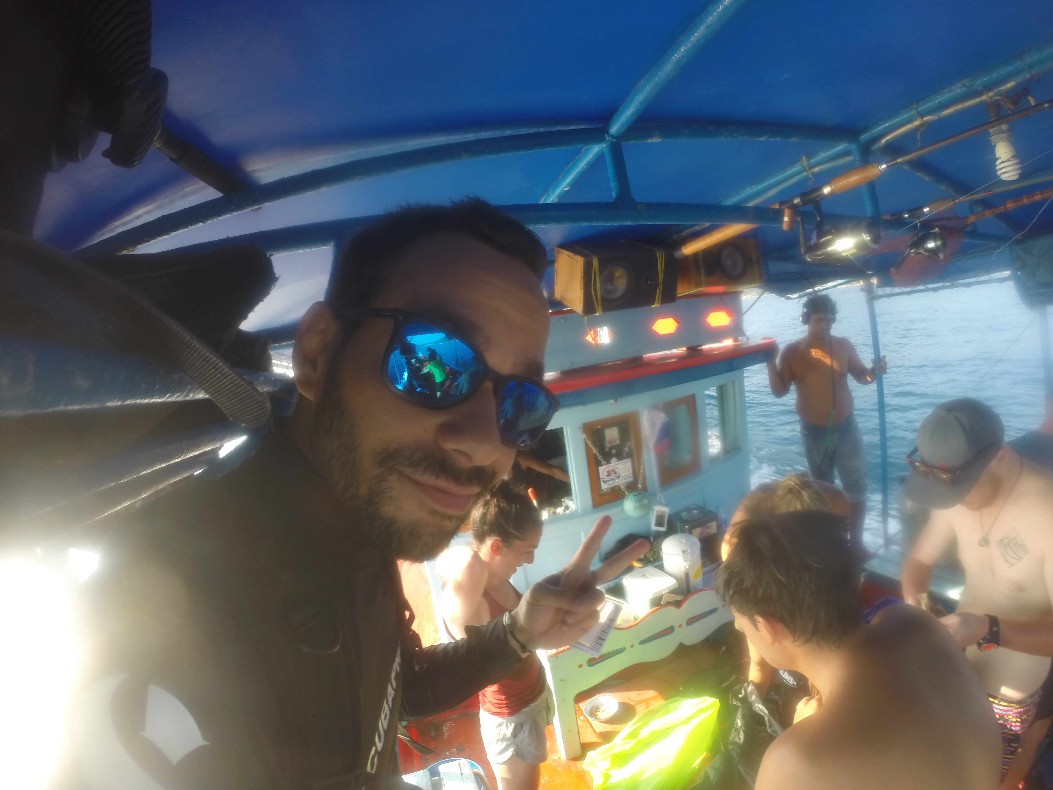
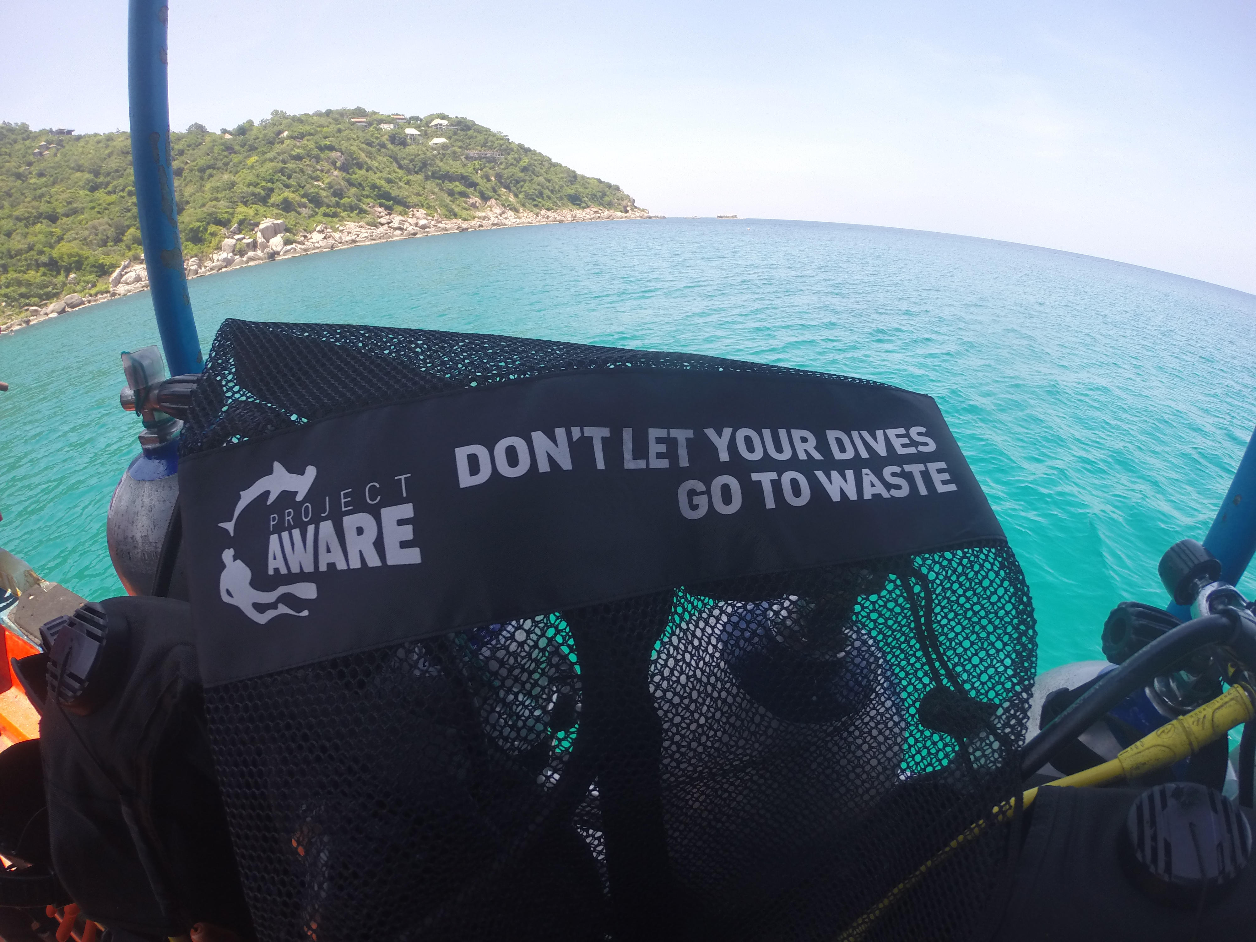
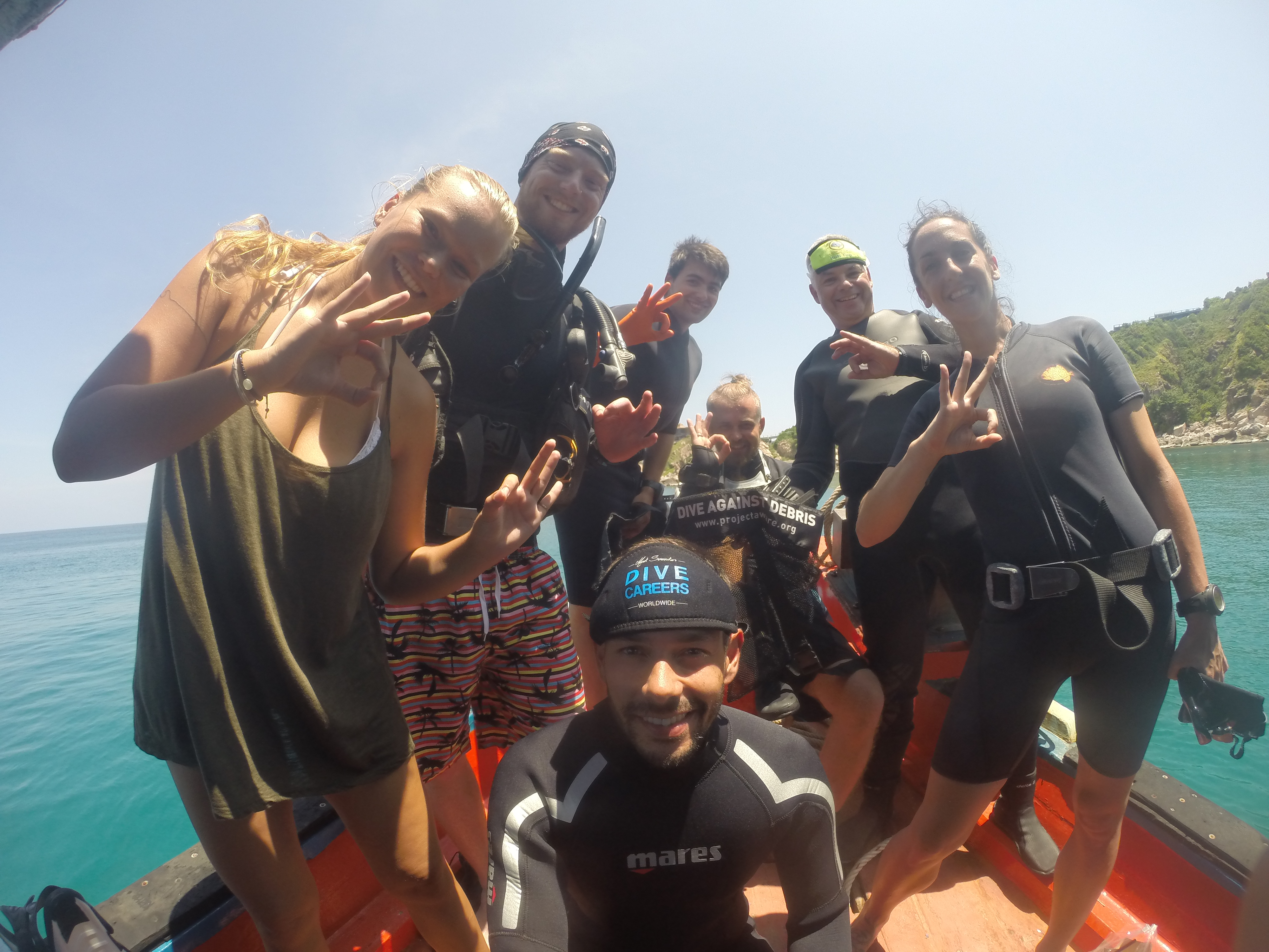
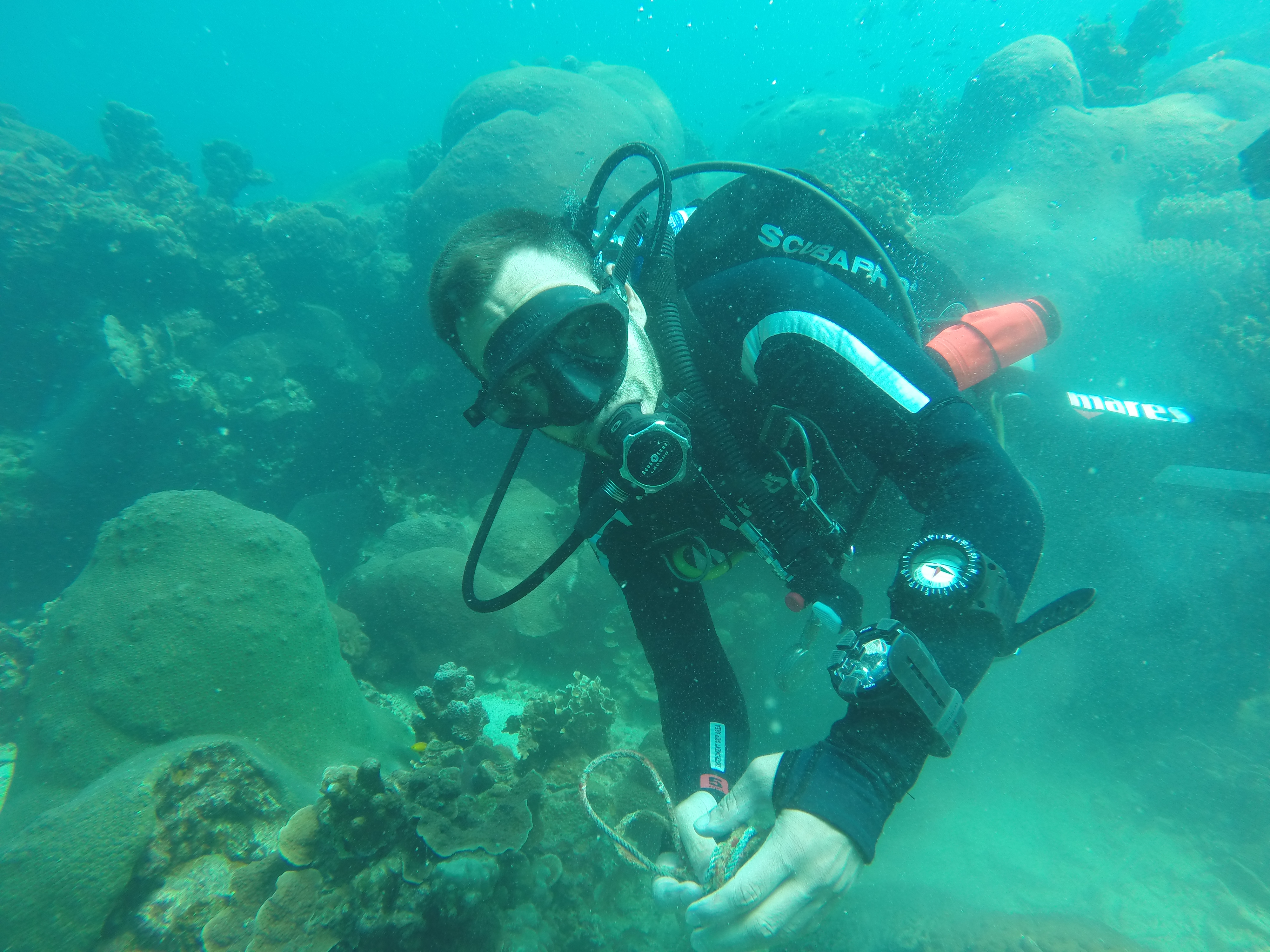
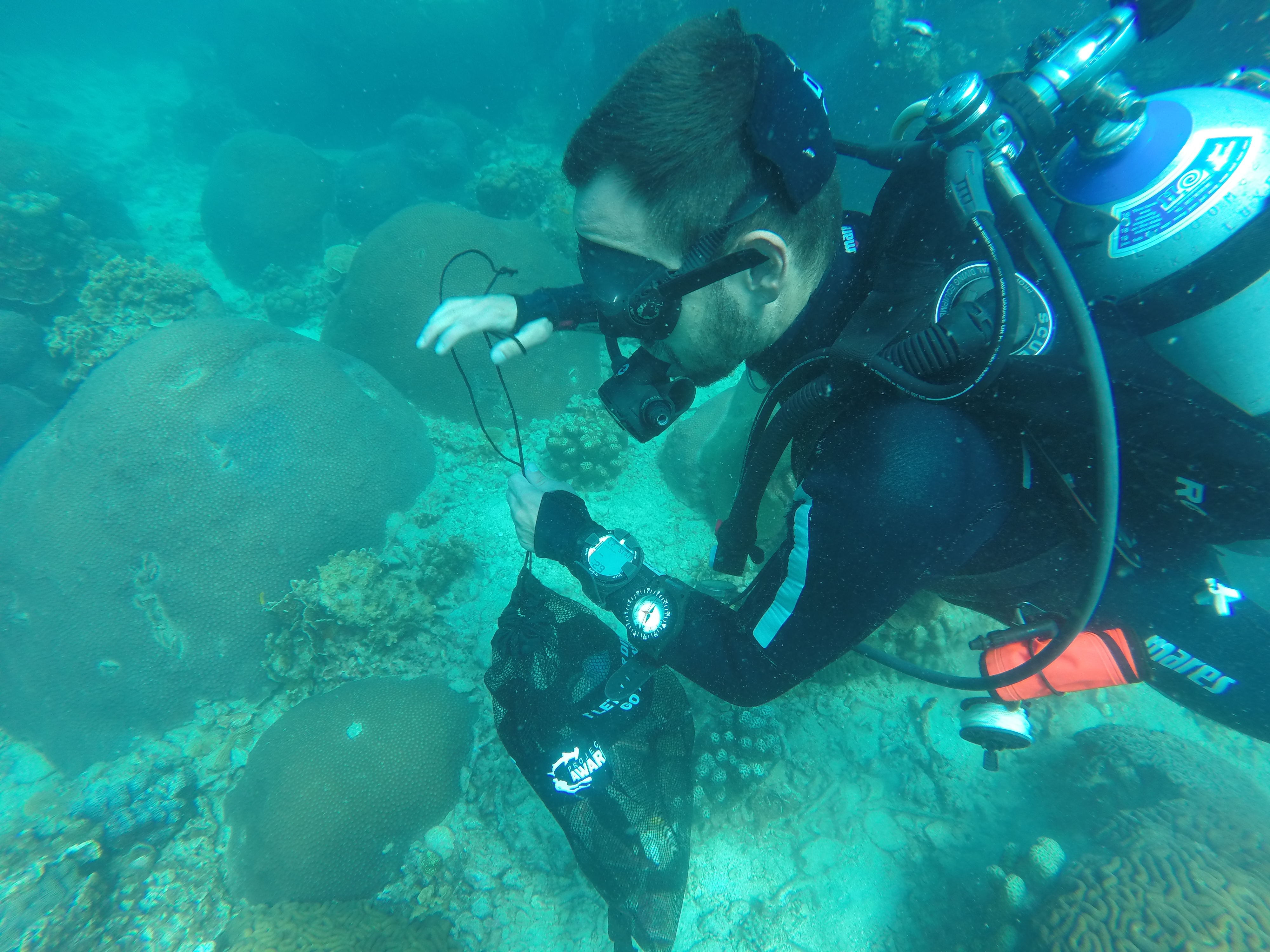
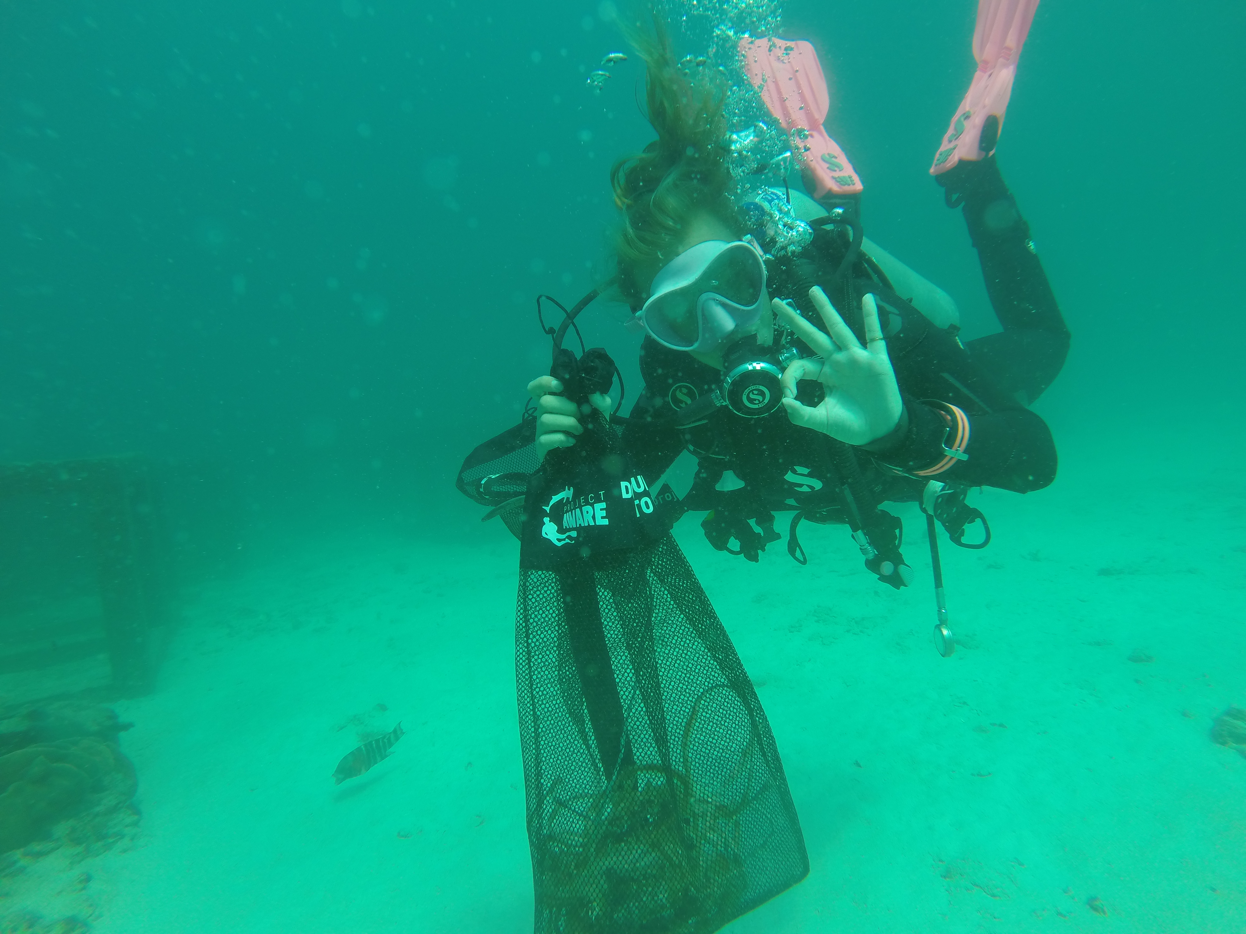
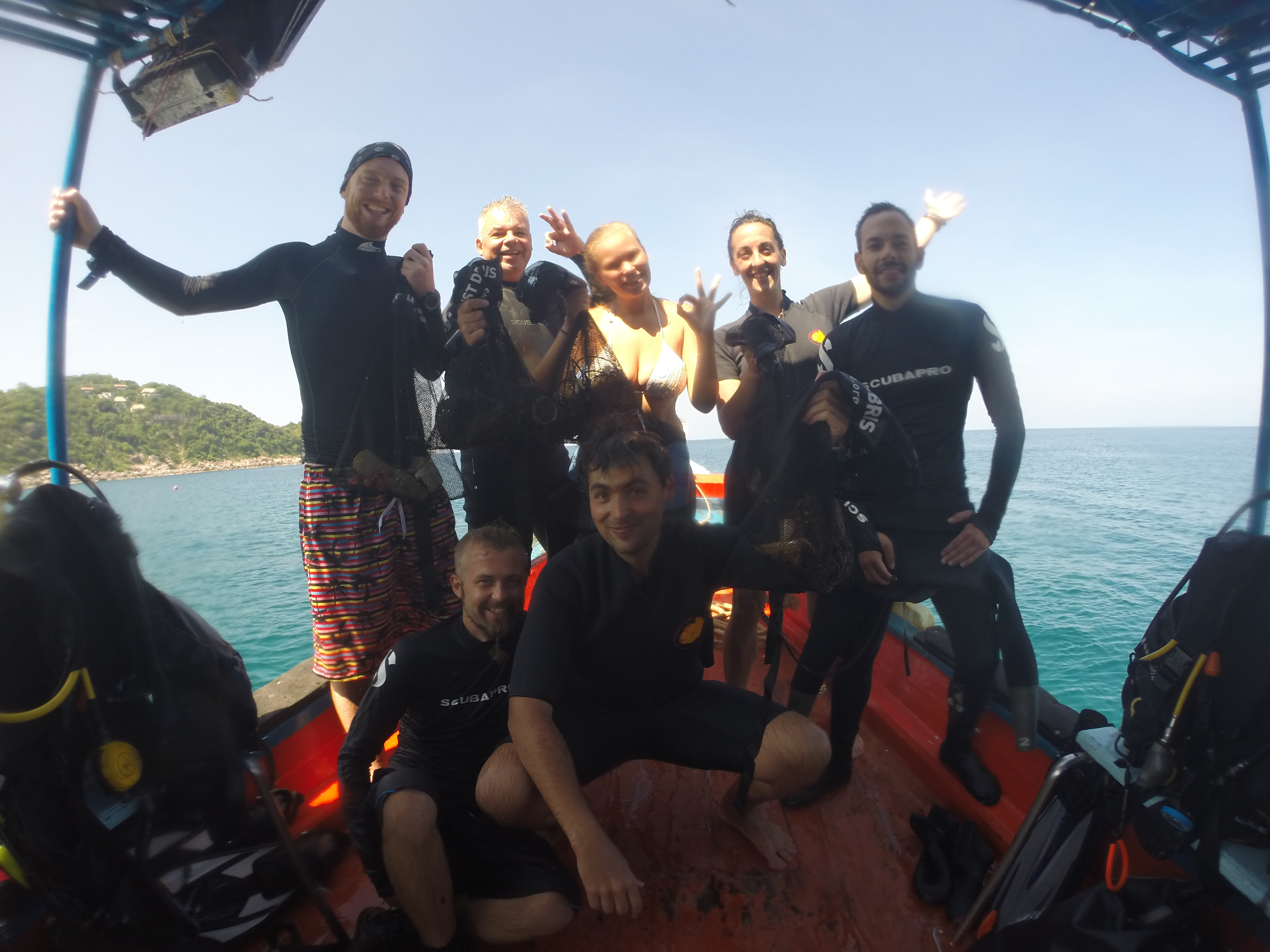
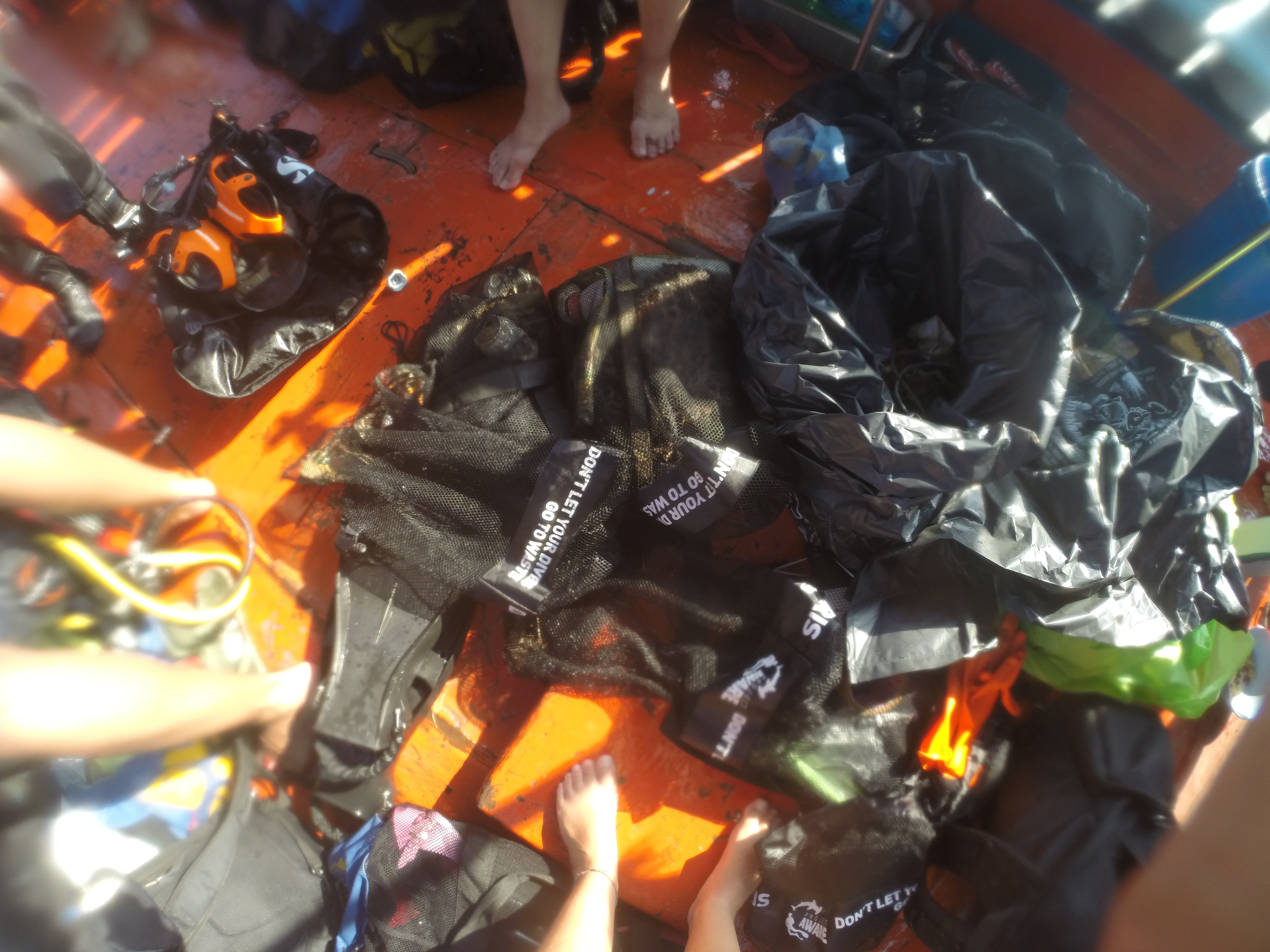
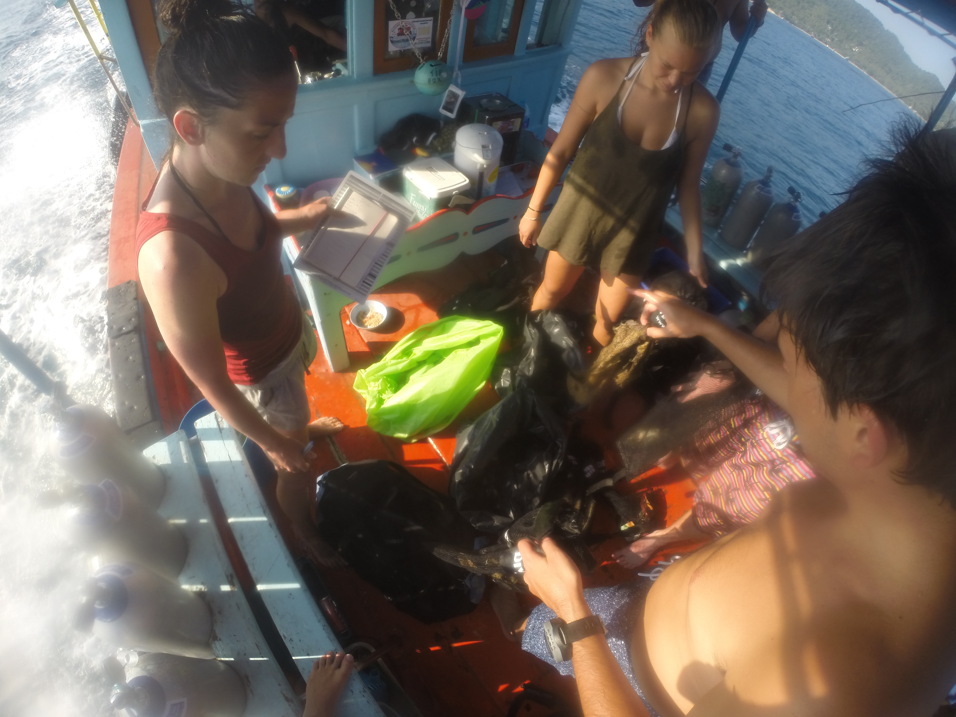
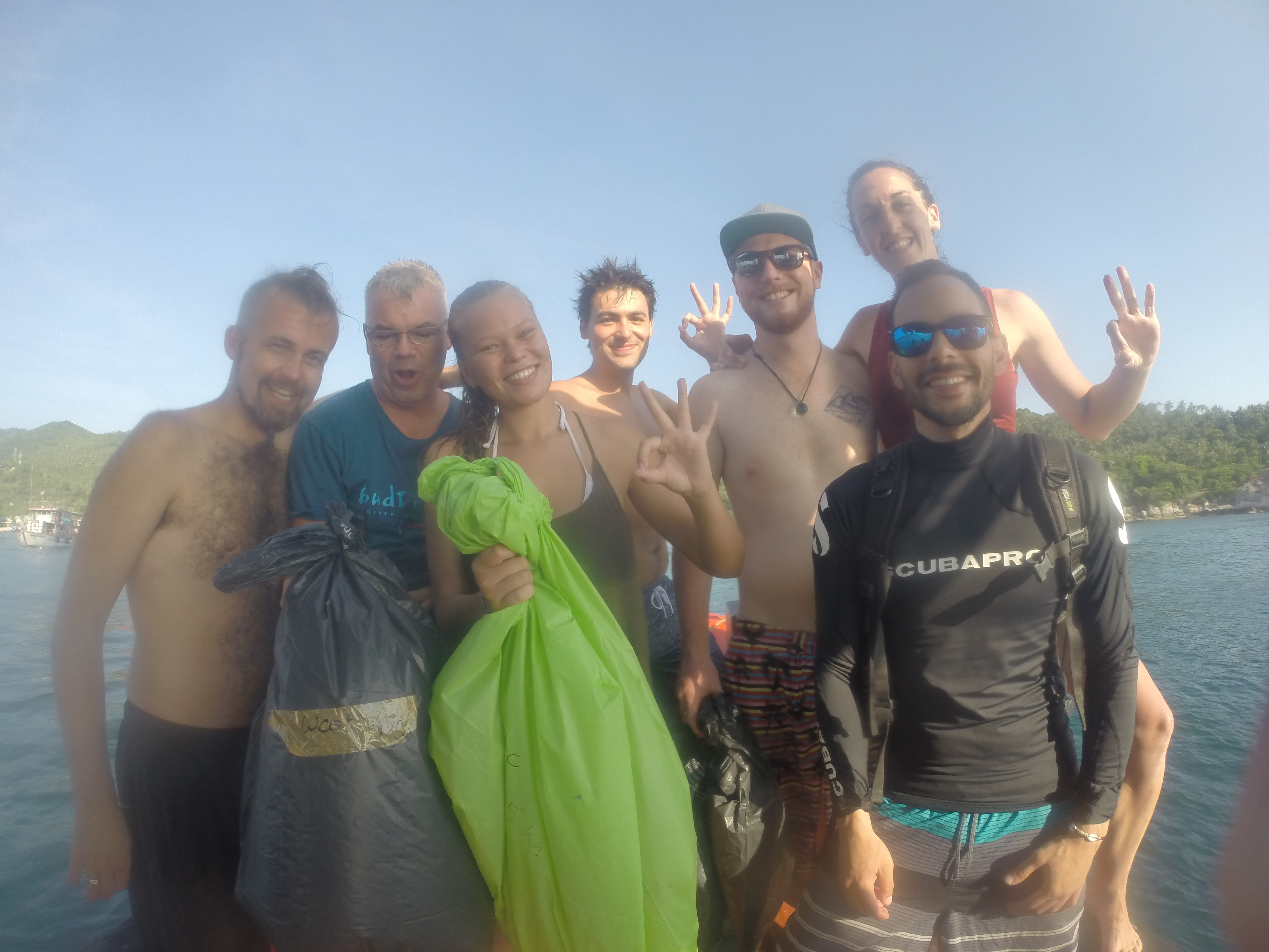
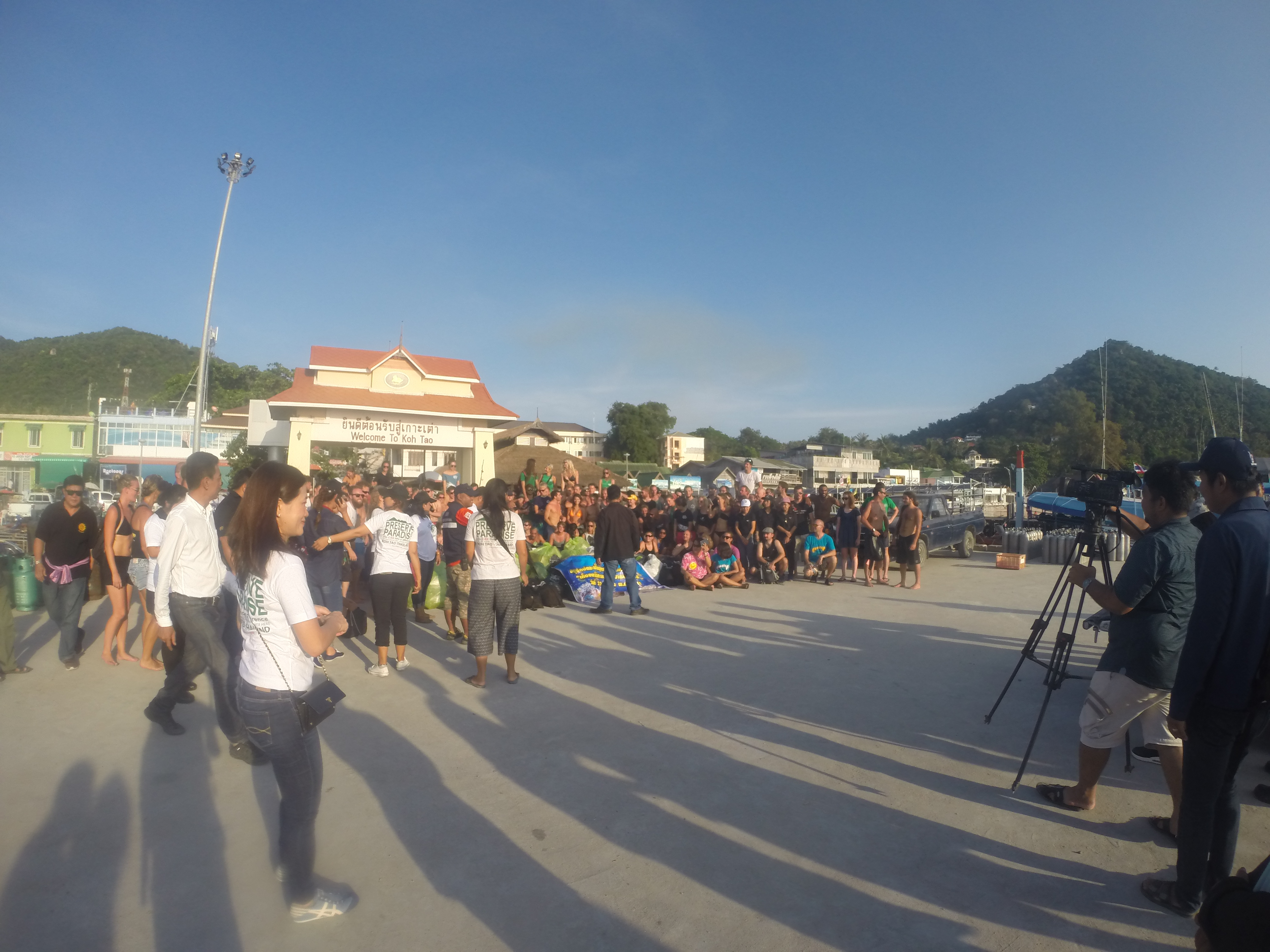
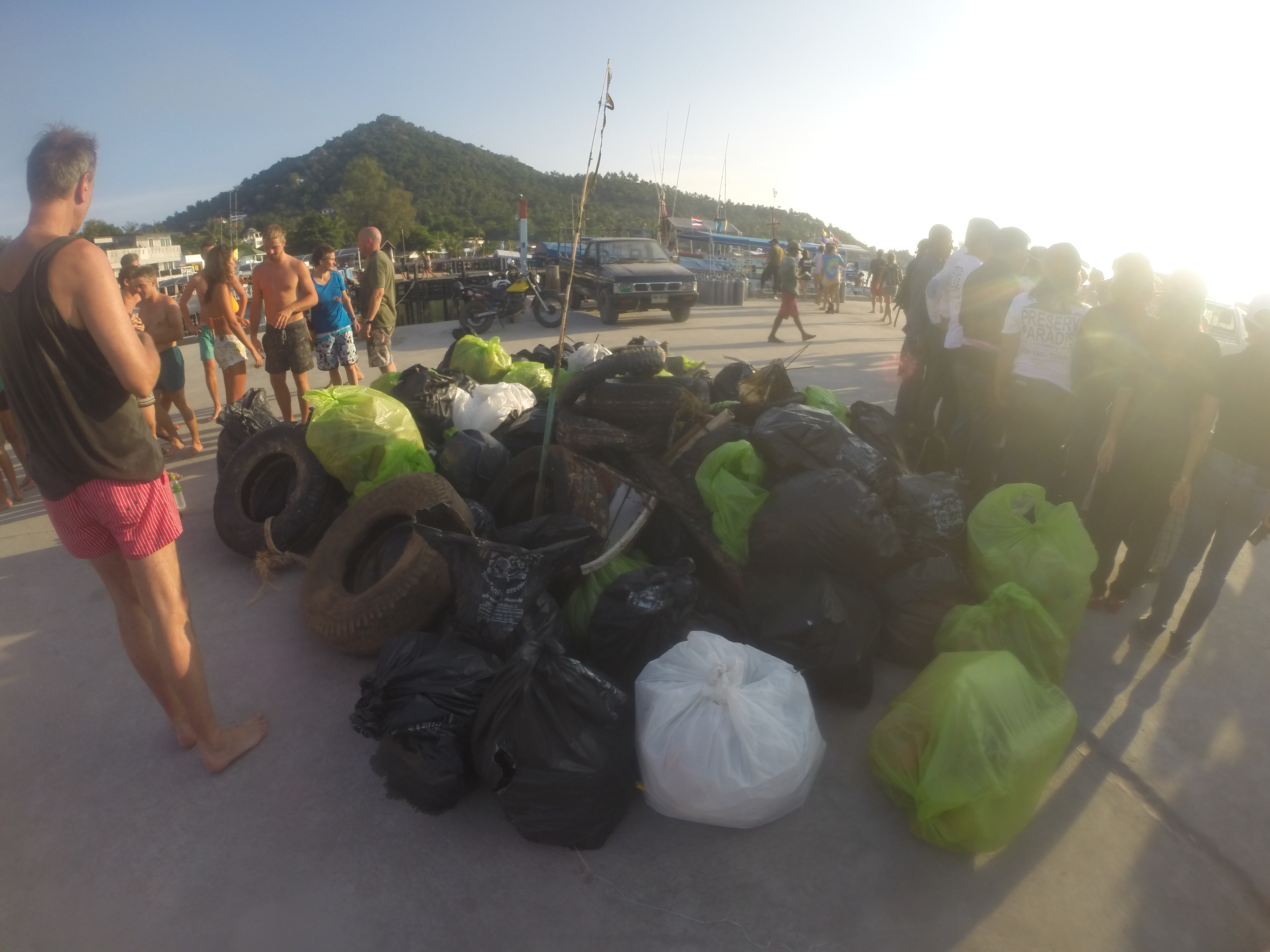
This was a special event for Earthday at our Adopt-A-Divesite site. Many thanks to all who participated!
long fat sisal rope
varied: rain, wind, sun, calm
9
1
sparkplug
electrical wire
Isla Nena Scuba
Tania
1
11
1
18.00
65
40.00
10.00
measured
194
55325.00
monofilament--turtles get entagled
fishing hooks--turtles get snagged
lead sinkers--animals eat them
On
pounds
I have debris data to report
Calm (glassy to rippled) for waves 0 – 0.1 meter high
1
ft2
3
feet
other
3
Puerto Rico
City
Vieques
Map Help
Dive Location
If you know your survey site coordinates, enter them manually in decimal degrees using WGS84 Map Datum. Use the minus sign for latitudes south of the equator and longitudes west of the Prime Meridian to 180 degrees.
If you do not know your survey site coordinates, click the “Map Location” tab to use the map to zoom into your survey site and drop the pin on the map to fall within your survey dive site in the water (not on land or the beach). Ensure you zoom in as much as possible to ensure data accuracy.
Entangled Help
Use the vertical tabs below to record any entangled animals you found of each type.
Calm (glassy to rippled) for waves 0 – 0.1 meter high
2
m2
2
meters
seagrass
4
3
1
1
42
10
3
13
1
10
1
2
1
Language
English
Greece
State\Province
EVIA
City
ERETRIA
Map Help
Dive Location
If you know your survey site coordinates, enter them manually in decimal degrees using WGS84 Map Datum. Use the minus sign for latitudes south of the equator and longitudes west of the Prime Meridian to 180 degrees.
If you do not know your survey site coordinates, click the “Map Location” tab to use the map to zoom into your survey site and drop the pin on the map to fall within your survey dive site in the water (not on land or the beach). Ensure you zoom in as much as possible to ensure data accuracy.
Entangled Help
Use the vertical tabs below to record any entangled animals you found of each type.
Calm (glassy to rippled) for waves 0 – 0.1 meter high
1
1
ft2
feet
other
1
10
Language
English
United States
State\Province
TN
City
Johnson City
Map Help
Dive Location
If you know your survey site coordinates, enter them manually in decimal degrees using WGS84 Map Datum. Use the minus sign for latitudes south of the equator and longitudes west of the Prime Meridian to 180 degrees.
If you do not know your survey site coordinates, click the “Map Location” tab to use the map to zoom into your survey site and drop the pin on the map to fall within your survey dive site in the water (not on land or the beach). Ensure you zoom in as much as possible to ensure data accuracy.
Entangled Help
Use the vertical tabs below to record any entangled animals you found of each type.
Most trash is outside of the roped-off swim area and was most likely thrown off boats.
add sunglasses to the premade list of debris? In my experience there are always some on a trash dive, ocean or lake.
Storms the day before, good weather with some rain the rest of the week.
6
1
sunglasses
anchor
Gene's Aqua Pro
John Colterman
53
2
1
8
6
2
40
1
6
208.00
70
10.00
1.50
4
measured
3
300.00
1
Glass bottles - risk to swimmers and marine life due to sharp edges
metal cans - when partially degraded have sharp edges and small sharp fragemnts that ould be ingested causing internal damag
plastic bottles and drink cups - small partical ingested by marine life, huge amount in the lake and quickly gets deteriorated into uncollectable, yet still harmfull, pieces.
On
pounds
I have debris data to report
67
Smooth (wavelets) for waves 0.1 - 0.5 meter high
1
6
m2
meters
other
3
2
2
4
3
383
Language
English
United States
State\Province
Oklahoma
City
Gore
Map Help
Dive Location
If you know your survey site coordinates, enter them manually in decimal degrees using WGS84 Map Datum. Use the minus sign for latitudes south of the equator and longitudes west of the Prime Meridian to 180 degrees.
If you do not know your survey site coordinates, click the “Map Location” tab to use the map to zoom into your survey site and drop the pin on the map to fall within your survey dive site in the water (not on land or the beach). Ensure you zoom in as much as possible to ensure data accuracy.
Entangled Help
Use the vertical tabs below to record any entangled animals you found of each type.
There's a resort above the dive site, we think most of the debris are coming from there
Seems to be an improvement of the amount of debris found in this area. Last year 33kg of debris were find against only 4.5kg this year!
Go pro Camera
Hot & sunny
non-little wind
Buddah View / Dive Career
Chloé von Känel
7
4
1
4.50
50
10.00
3.00
estimated
200.00
cans
plastic
ropes/fishing net
On
kilograms
I have debris data to report
1
1
Smooth (wavelets) for waves 0.1 - 0.5 meter high
1
m2
15
meters
coral reef
1
15
Language
English
Thailand
City
Koh Tao
Map Help
Dive Location
If you know your survey site coordinates, enter them manually in decimal degrees using WGS84 Map Datum. Use the minus sign for latitudes south of the equator and longitudes west of the Prime Meridian to 180 degrees.
If you do not know your survey site coordinates, click the “Map Location” tab to use the map to zoom into your survey site and drop the pin on the map to fall within your survey dive site in the water (not on land or the beach). Ensure you zoom in as much as possible to ensure data accuracy.
Entangled Help
Use the vertical tabs below to record any entangled animals you found of each type.
there is a resort above, we think that garbage is blowing down from the hills into the water.
There seems to be an improvement from previous dives.
gopro
Hot & Sunny
non-little wind
Buddha View/ Dive-careers
Chloe von Kanel
7
4
1
4.50
45
10.00
3.00
measured
200.00
cans
plastic
rope/fishing net
On
kilograms
I have debris data to report
1
1
Smooth (wavelets) for waves 0.1 - 0.5 meter high
1
m2
25
meters
coral reef
1
15
Language
English
Thailand
State\Province
Surat Thani
City
Koh Tao
Map Help
Dive Location
If you know your survey site coordinates, enter them manually in decimal degrees using WGS84 Map Datum. Use the minus sign for latitudes south of the equator and longitudes west of the Prime Meridian to 180 degrees.
If you do not know your survey site coordinates, click the “Map Location” tab to use the map to zoom into your survey site and drop the pin on the map to fall within your survey dive site in the water (not on land or the beach). Ensure you zoom in as much as possible to ensure data accuracy.
Entangled Help
Use the vertical tabs below to record any entangled animals you found of each type.
There's a resort above the dive site, we think most of the debris are coming from there
Seems to be an improvement of the amount of debris found in this area. Last year 33kg of debris were find against only 4.5kg this year!
Go Pro
Hot & sunny
non-little wind
Buddha View / Dive-Careers
Chloé von Känel
6
4
1
4.50
45
10.00
3.00
measured
200.00
cans
plastic
ropes/fishing net
On
kilograms
I have debris data to report
1
1
Smooth (wavelets) for waves 0.1 - 0.5 meter high
1
m2
25
meters
coral reef
1
15
Language
English
Thailand
State\Province
Surat Thani
City
Koh Tao
Map Help
Dive Location
If you know your survey site coordinates, enter them manually in decimal degrees using WGS84 Map Datum. Use the minus sign for latitudes south of the equator and longitudes west of the Prime Meridian to 180 degrees.
If you do not know your survey site coordinates, click the “Map Location” tab to use the map to zoom into your survey site and drop the pin on the map to fall within your survey dive site in the water (not on land or the beach). Ensure you zoom in as much as possible to ensure data accuracy.
Entangled Help
Use the vertical tabs below to record any entangled animals you found of each type.
Calm (glassy to rippled) for waves 0 – 0.1 meter high
1
m2
meters
other
2
8
4
Language
English
Honduras
State\Province
Bay Islands
City
French Harbor, Roatan
Map Help
Dive Location
If you know your survey site coordinates, enter them manually in decimal degrees using WGS84 Map Datum. Use the minus sign for latitudes south of the equator and longitudes west of the Prime Meridian to 180 degrees.
If you do not know your survey site coordinates, click the “Map Location” tab to use the map to zoom into your survey site and drop the pin on the map to fall within your survey dive site in the water (not on land or the beach). Ensure you zoom in as much as possible to ensure data accuracy.
Entangled Help
Use the vertical tabs below to record any entangled animals you found of each type.