ADS70 - Saxophone
11
10
4
5
12.897548, 100.774164
1
0
0
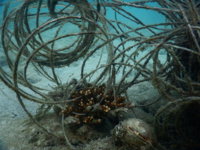
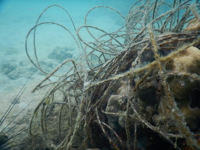
coral
0
12
0
15
4
no one regulates fishing in the area resulting in lots of fishing lines, nets and hooks left, fishing traps unmarked and not returned to
nothing unusual on this dive for what we see on a regular basis in the area.
Mostly Calm, little wind, 1 day rain.
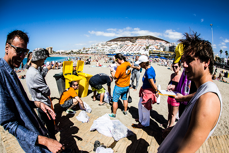
Jomtien Dive Center
Gary Phillips
0
1
0
0
0
0
0
0
2
0
4
0
0
0
0
0
0
3
7
5
0
0
0
0
15
7
8
3
18
1
1
0
0
0
0
0
6.00
50
12.00
3.00
4
estimated
2
1
0
5
5637.70
0
0
0
0
0
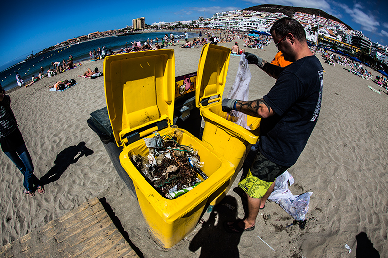
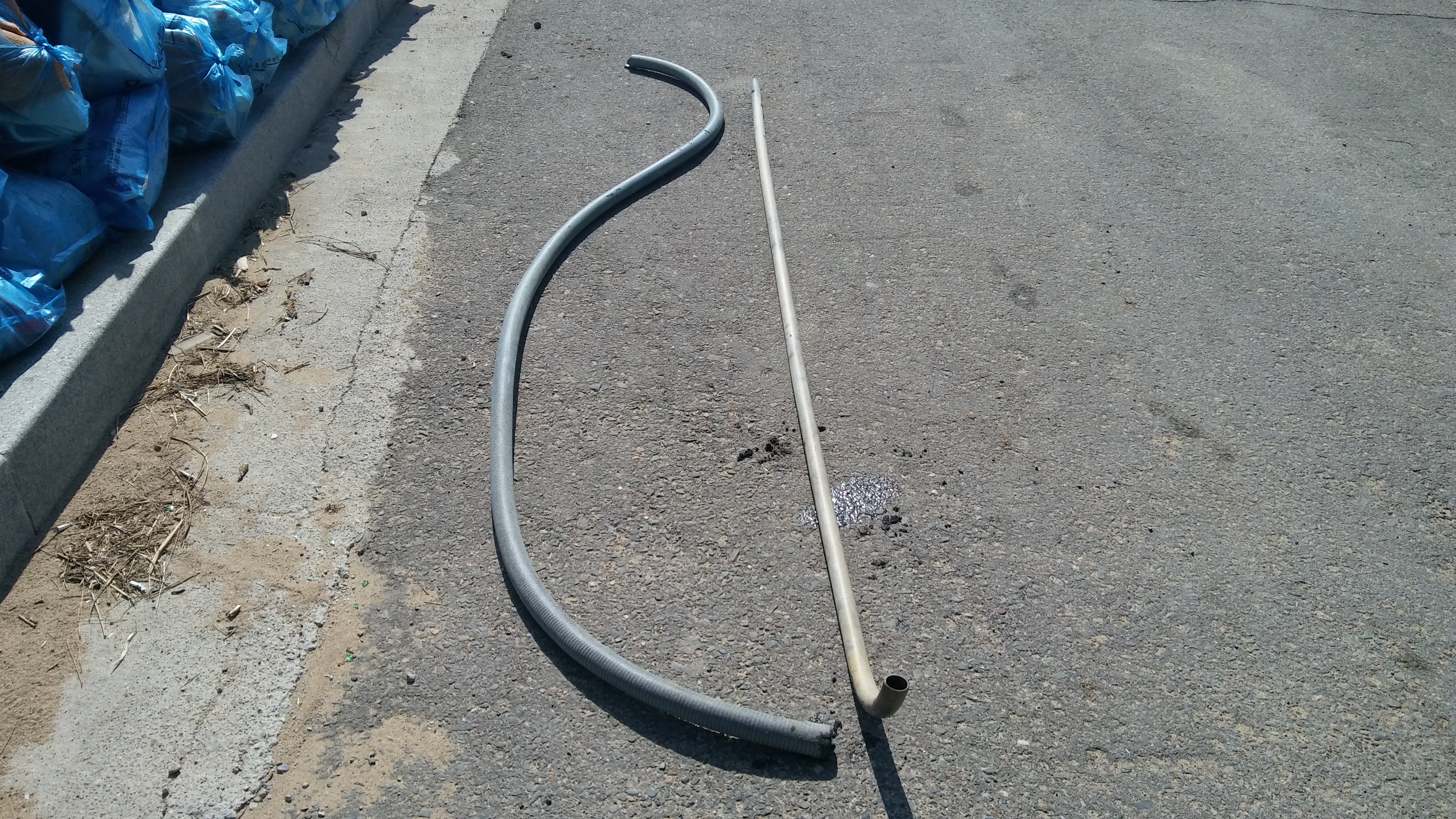
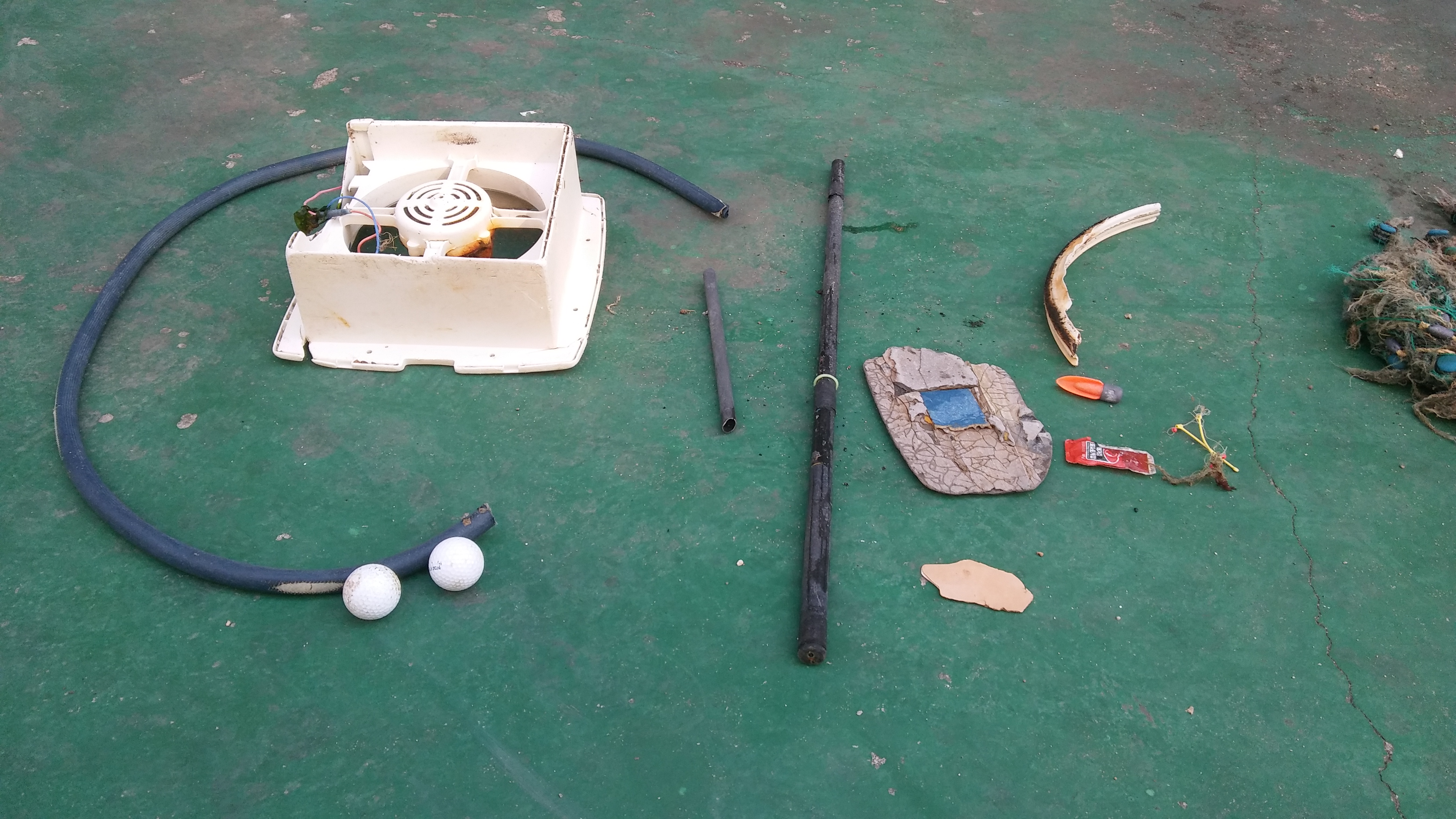
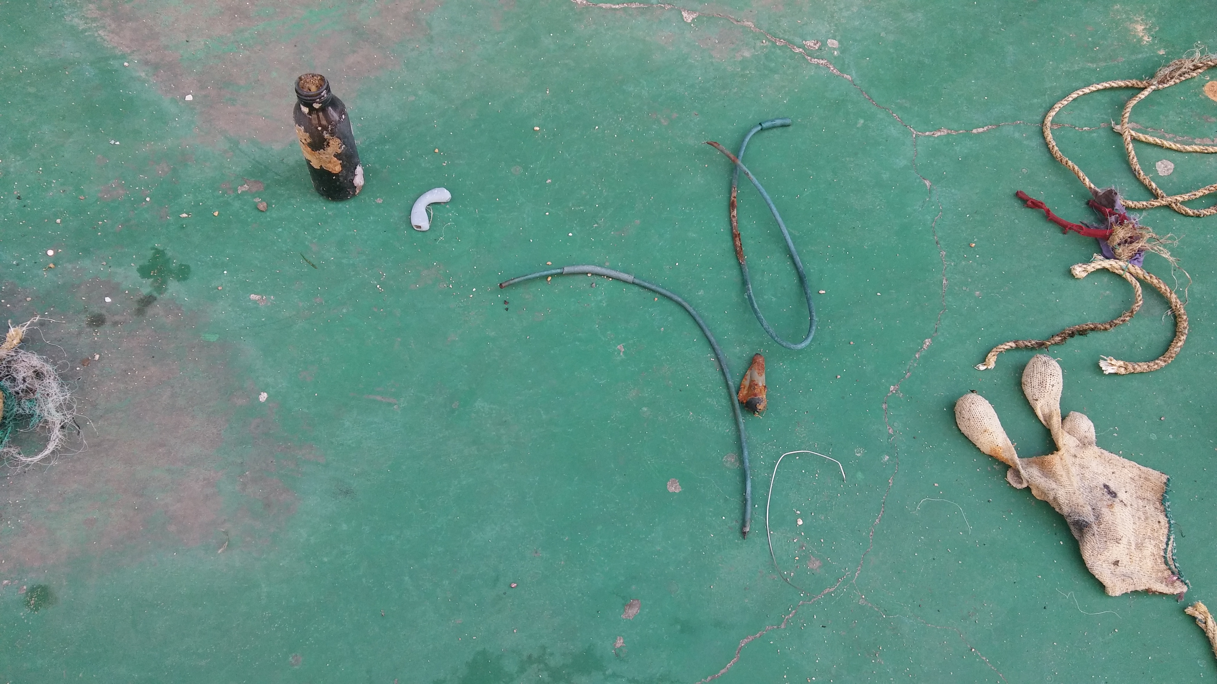
plastic - floating bags, turtles.
fishing items - tangle coral and trap fish
Glass- smashed easy to cut yourself
0
On
kilograms
0
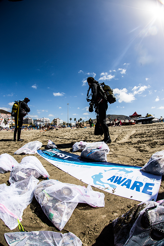
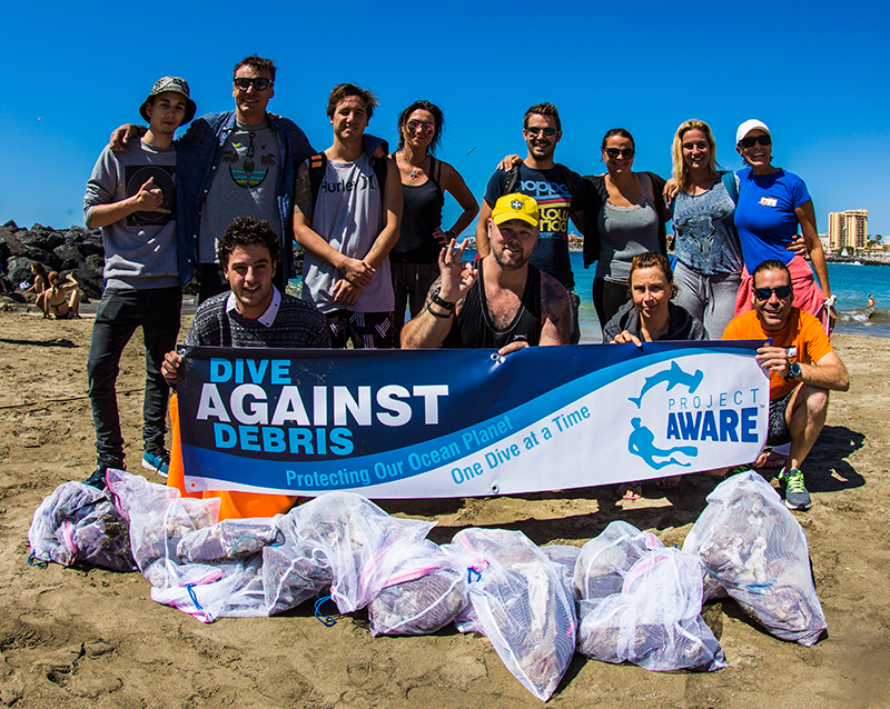
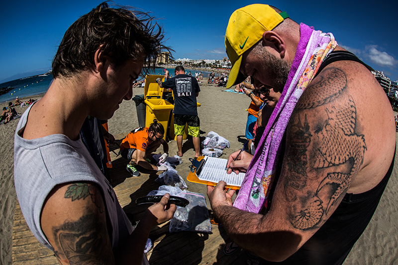
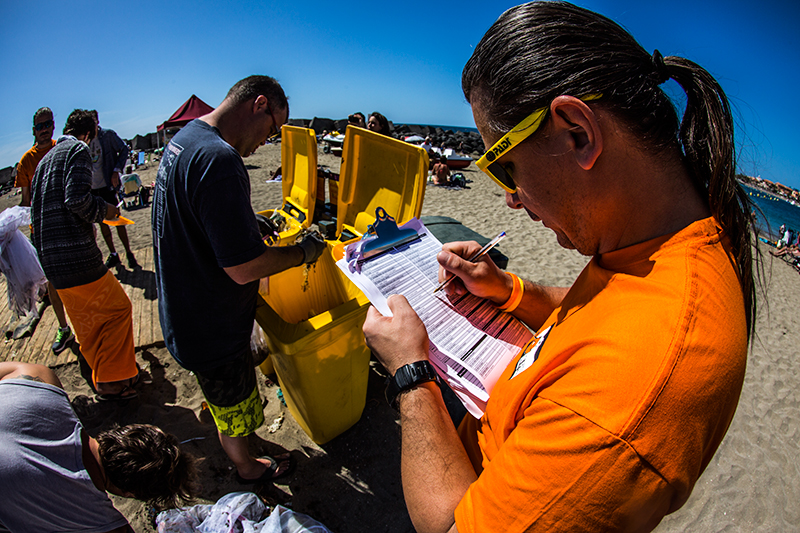
I have debris data to report
6
0
0
Smooth (wavelets) for waves 0.1 - 0.5 meter high
0
0
1
0
2
0
0
m2
8
1
meters
coral reef
0
0
0
0
3
0
0
0
0
1
0
0
0
5
0
0
4
6
0
0
0
0
0
0
0
0
1
1
0
City
Jomtien
Map Help
Dive Location
If you know your survey site coordinates, enter them manually in decimal degrees using WGS84 Map Datum. Use the minus sign for latitudes south of the equator and longitudes west of the Prime Meridian to 180 degrees.
If you do not know your survey site coordinates, click the “Map Location” tab to use the map to zoom into your survey site and drop the pin on the map to fall within your survey dive site in the water (not on land or the beach). Ensure you zoom in as much as possible to ensure data accuracy.
Entangled Help