
Alegia Dive Resort House Reef
4
17
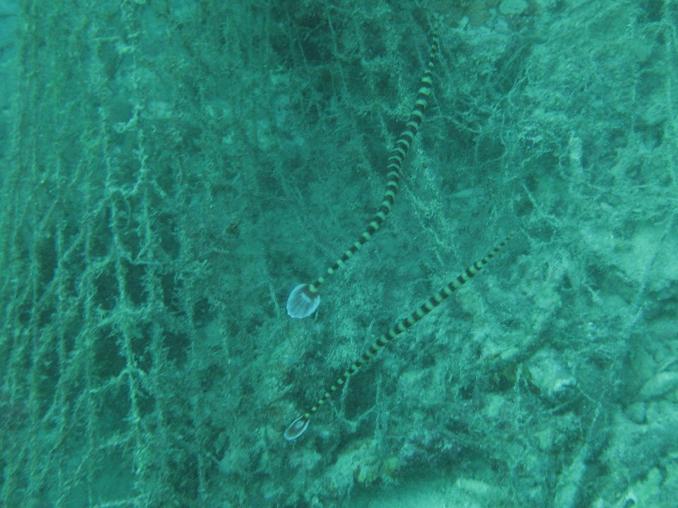
coral
3
10
9.753907300963226, 123.34082348272204
rainy
Alegria dive resort
Lee Ricketts
1
4
2
4
3.00
40
15.00
2.00
estimated
1
15.00
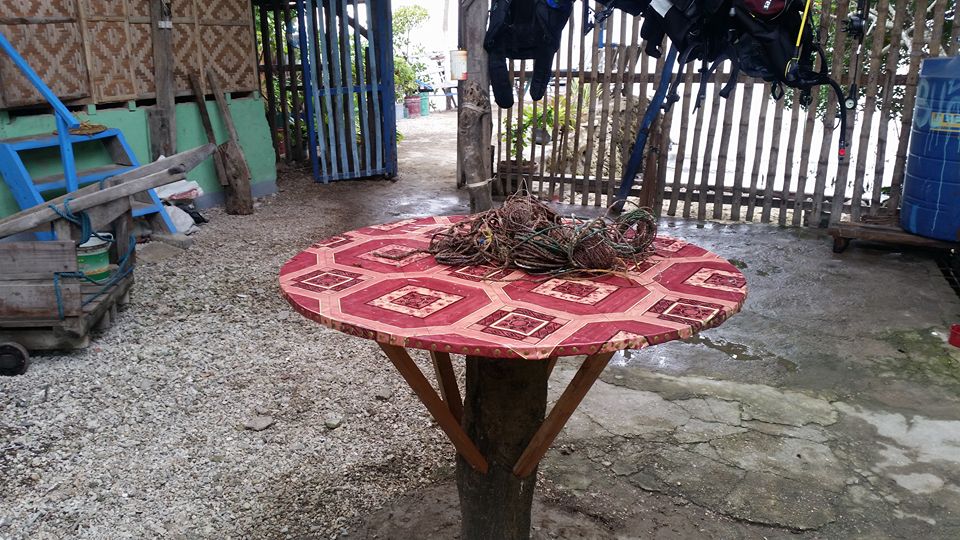
local fishermen discarding nets
On
kilograms
I have debris data to report
Slight for waves 0.5 -1.25 meter high
Released Unharmed
Titan triggerish
1
fishing nets
4
m2
meters
coral reef
State\Province
cebu
City
Sta. filomena Alegria
Map Help
Dive Location
If you know your survey site coordinates, enter them manually in decimal degrees using WGS84 Map Datum. Use the minus sign for latitudes south of the equator and longitudes west of the Prime Meridian to 180 degrees.
If you do not know your survey site coordinates, click the “Map Location” tab to use the map to zoom into your survey site and drop the pin on the map to fall within your survey dive site in the water (not on land or the beach). Ensure you zoom in as much as possible to ensure data accuracy.
Entangled Help
