Director's Bay
5
12.0659921, -68.8599417
600
12.0659921, -68.8599417
local fishing
Local fishermen don't understand how much they are killing the reef therefor the fish
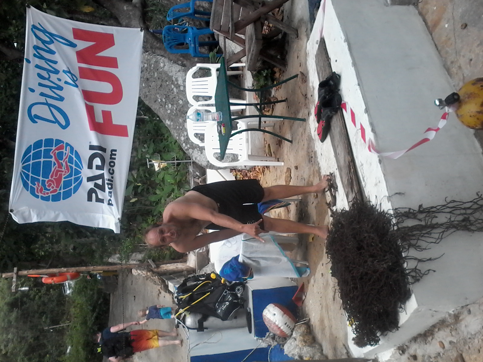
spark plugs
good
2
spark plugs
The Dive Bus
Ivana C Stampeggi Master Instructor 356300
1
12
19.00
57
30.00
4.00
measured
15
3000.00
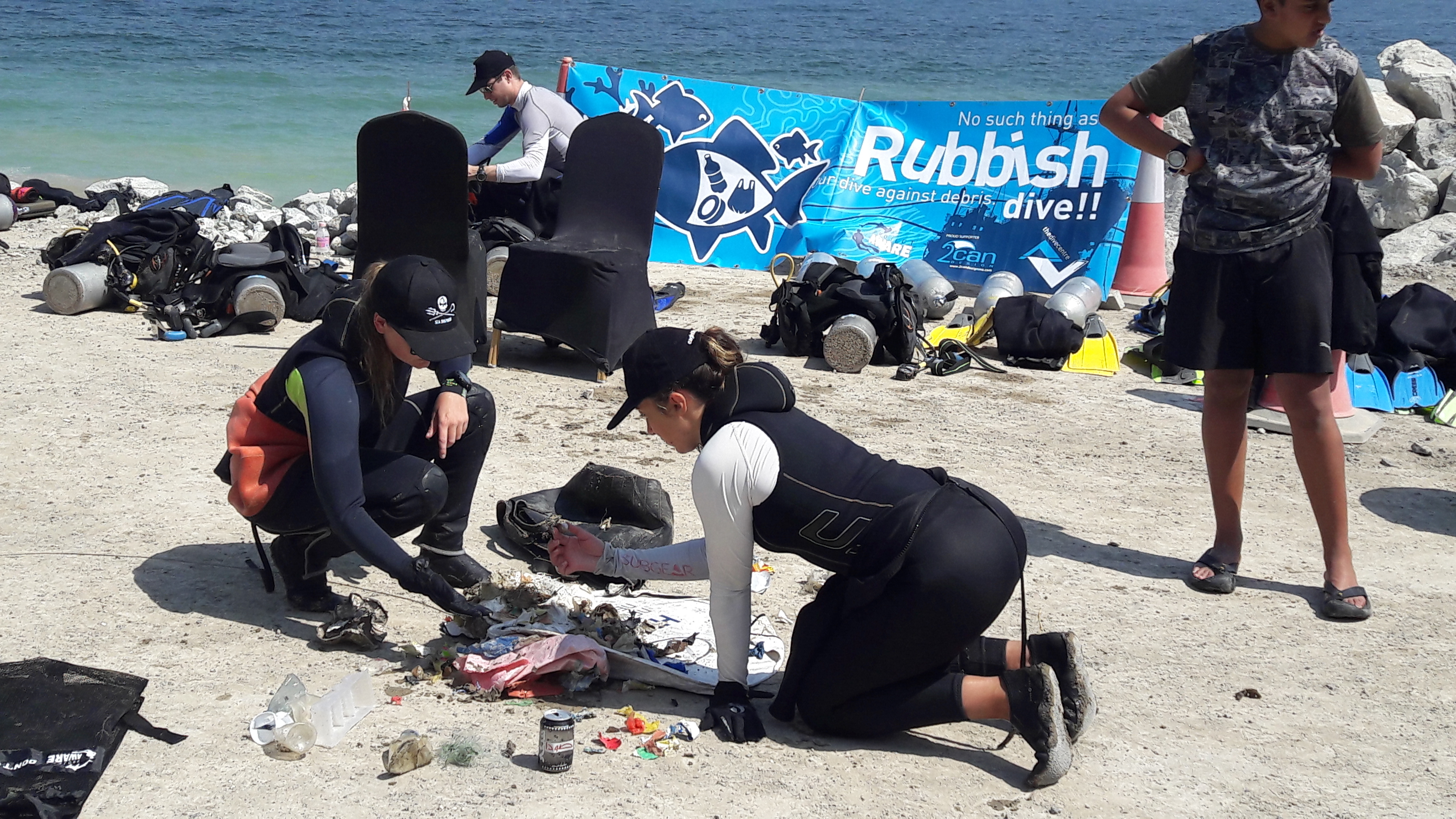
fishing line
fishing hooks
glass bottles
On
kilograms
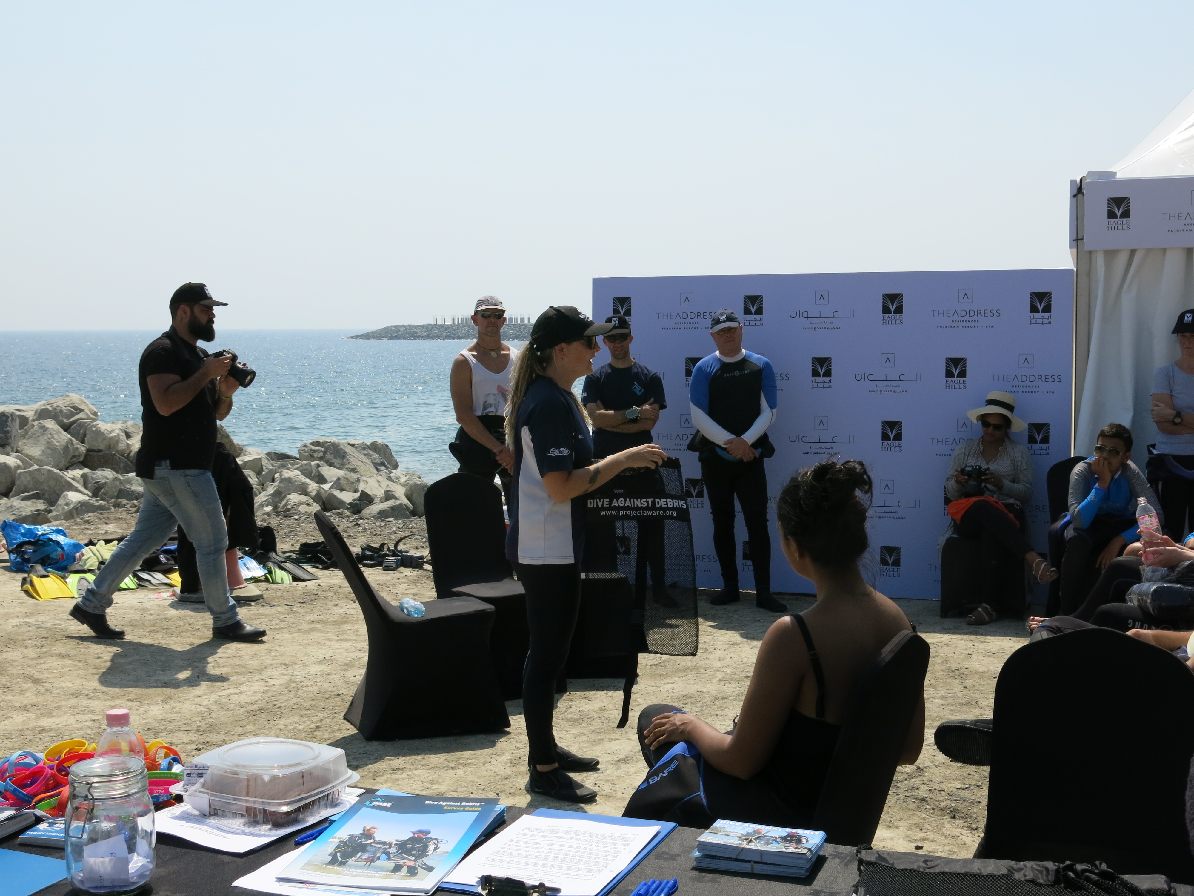
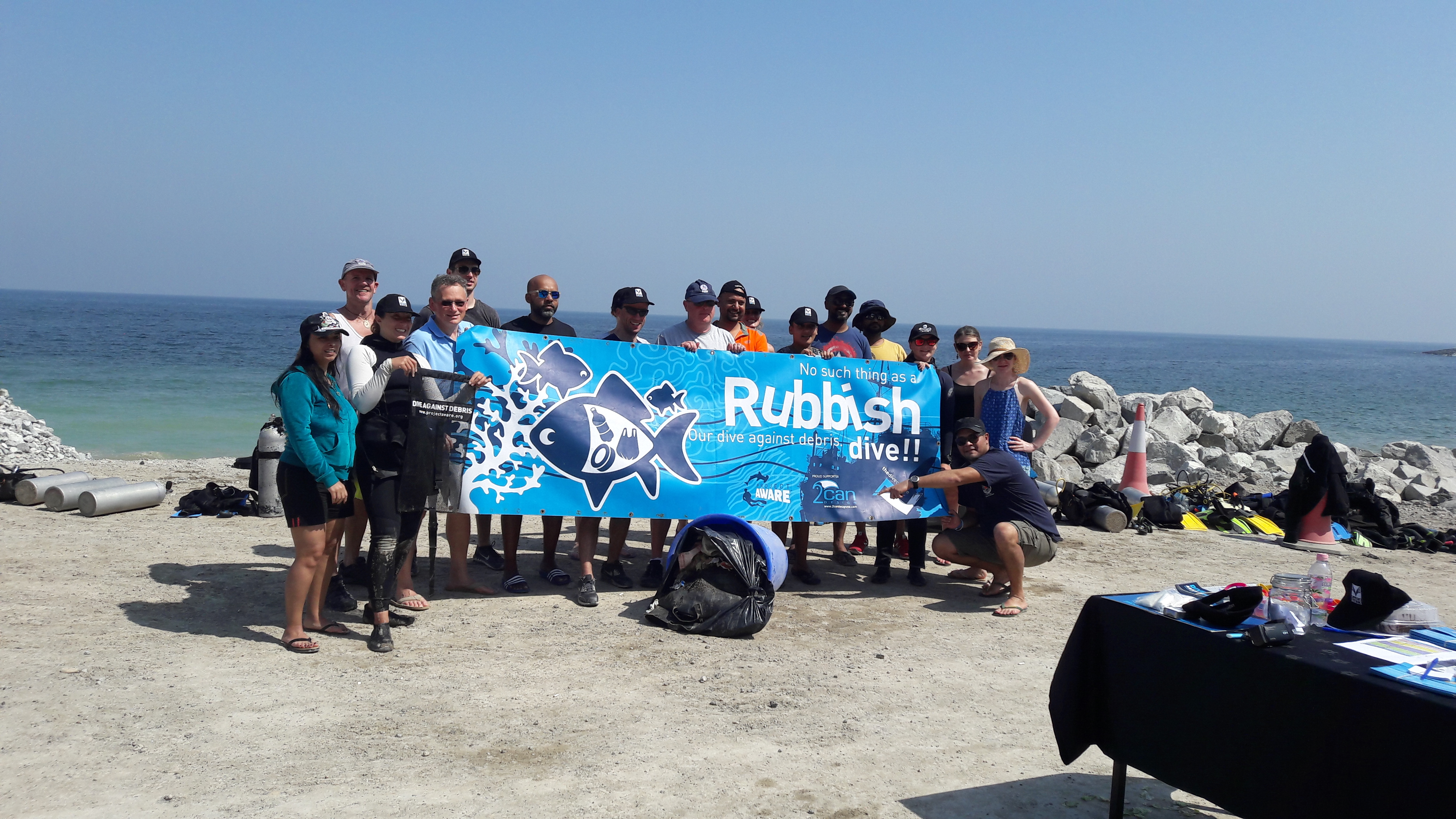
I have debris data to report
13
Calm (glassy to rippled) for waves 0 – 0.1 meter high
2
m2


meters
coral reef
12
3
6
2
9
State\Province
Cuaraco
City
Cuaraco
Map Help
Dive Location
If you know your survey site coordinates, enter them manually in decimal degrees using WGS84 Map Datum. Use the minus sign for latitudes south of the equator and longitudes west of the Prime Meridian to 180 degrees.
If you do not know your survey site coordinates, click the “Map Location” tab to use the map to zoom into your survey site and drop the pin on the map to fall within your survey dive site in the water (not on land or the beach). Ensure you zoom in as much as possible to ensure data accuracy.
Entangled Help