Geestmerambacht Noord
0
0
5
0
52.691515, 4.768591
20
0
0
silt
0
0
0
0
0
Main recreational area
Barrier/fence
Sunny, calm
1
1
2
1
1
1
1
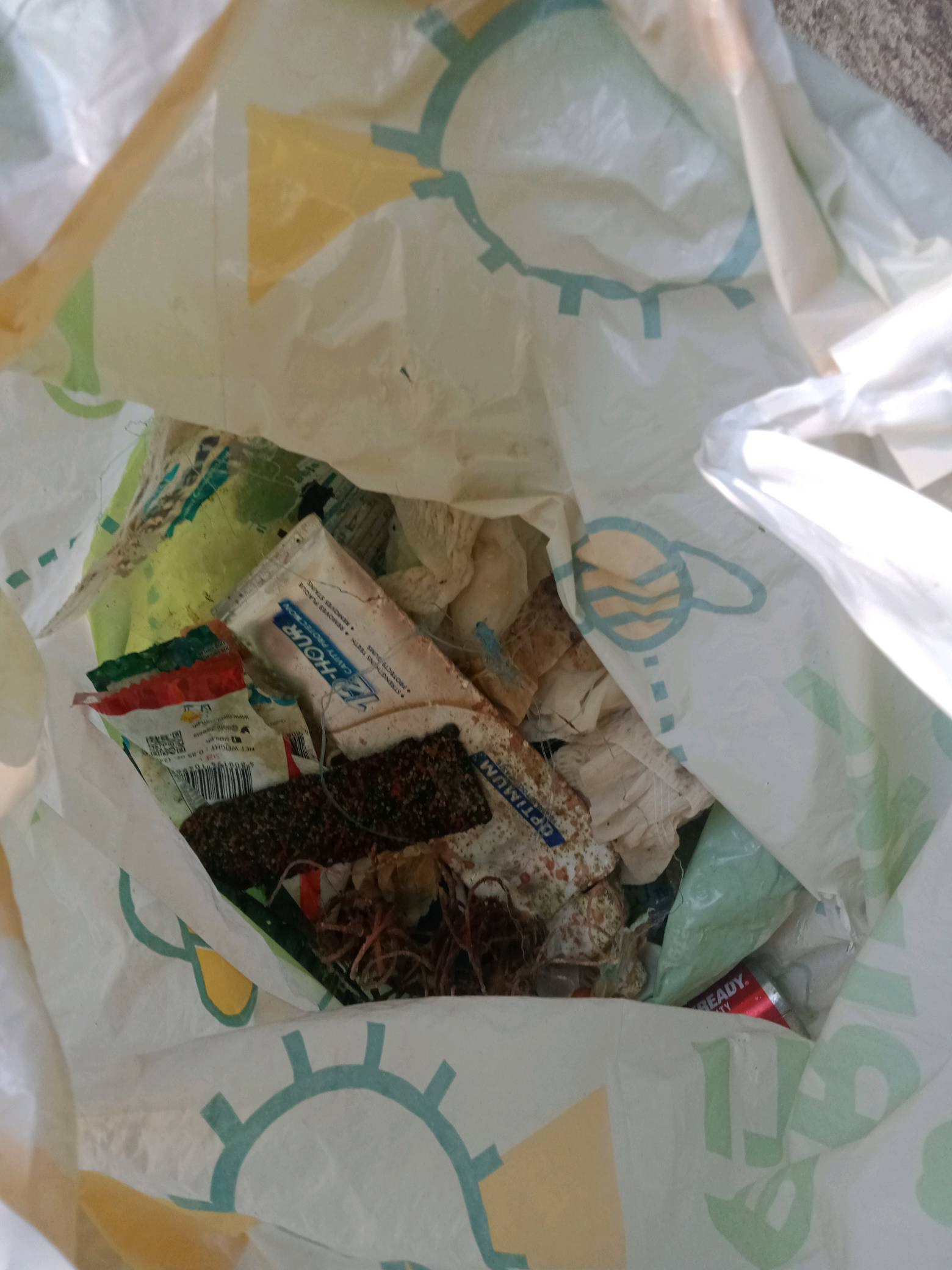
Car tyre
Infatible boat
Paddle
Barrier
Tent
Deck chair
Bicycle
KevMic-Diving (S-23899)
Helmar de Ruiter (IDCS-953011)
0
0
0
9
0
0
0
0
0
0
0
0
0
0
0
0
25
0
0
14
0
0
0
0
0
0
15
0
3
0
0
0
0
0
0
0
300.00
60
10.00
1.00
4
estimated
0
0
0
0
101.52
0
2
0
0
0
Bicycle
Fence
0
On
kilograms
0
I have debris data to report
60
0
0
Calm (glassy to rippled) for waves 0 – 0.1 meter high
0
0
0
0
0
0
0
m2
0
0
meters
other
0
0
0
0
0
0
0
0
0
0
0
0
0
0
0
0
0
225
0
0
0
0
0
0
0
0
0
0
0
State\Province
Noord-Holland
City
Langedijk
Map Help
Dive Location
If you know your survey site coordinates, enter them manually in decimal degrees using WGS84 Map Datum. Use the minus sign for latitudes south of the equator and longitudes west of the Prime Meridian to 180 degrees.
If you do not know your survey site coordinates, click the “Map Location” tab to use the map to zoom into your survey site and drop the pin on the map to fall within your survey dive site in the water (not on land or the beach). Ensure you zoom in as much as possible to ensure data accuracy.
Entangled Help