
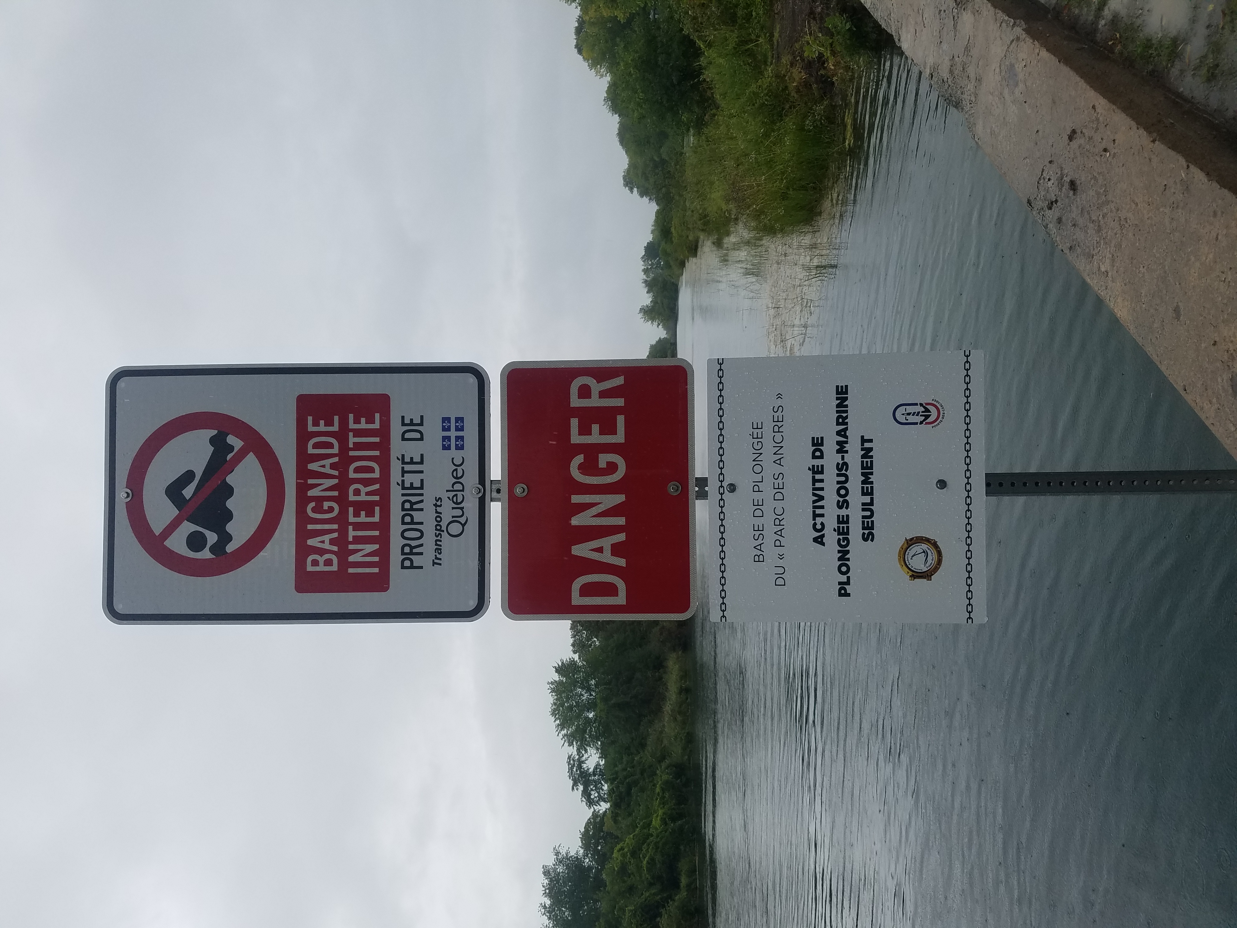
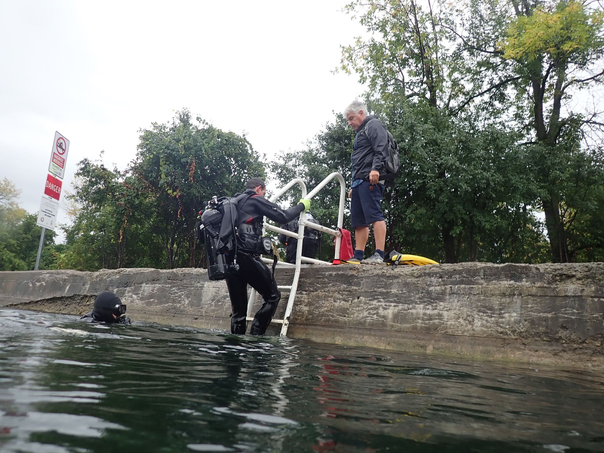
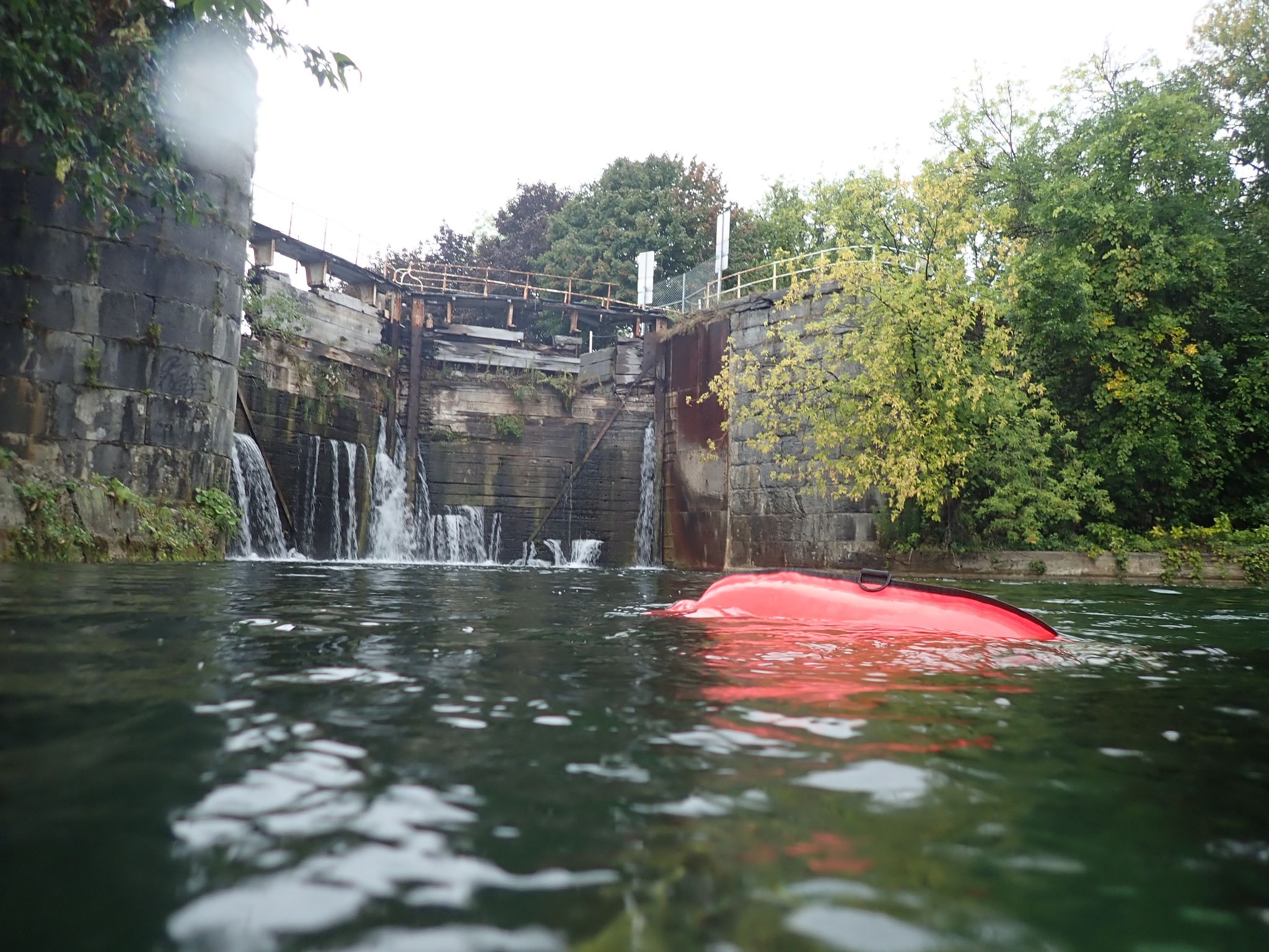
Pointe des cascades
silt
 Canada
45.331265523348, -73.967969822404
no
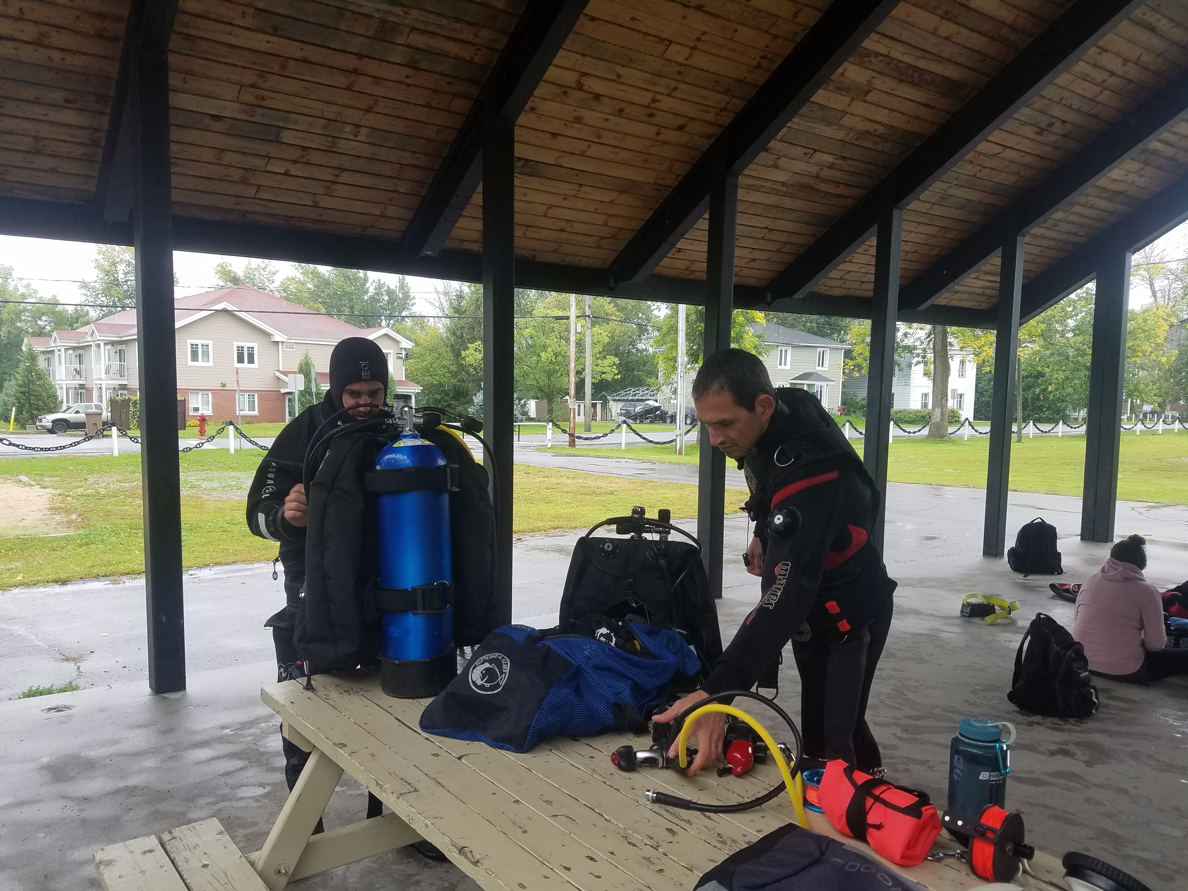
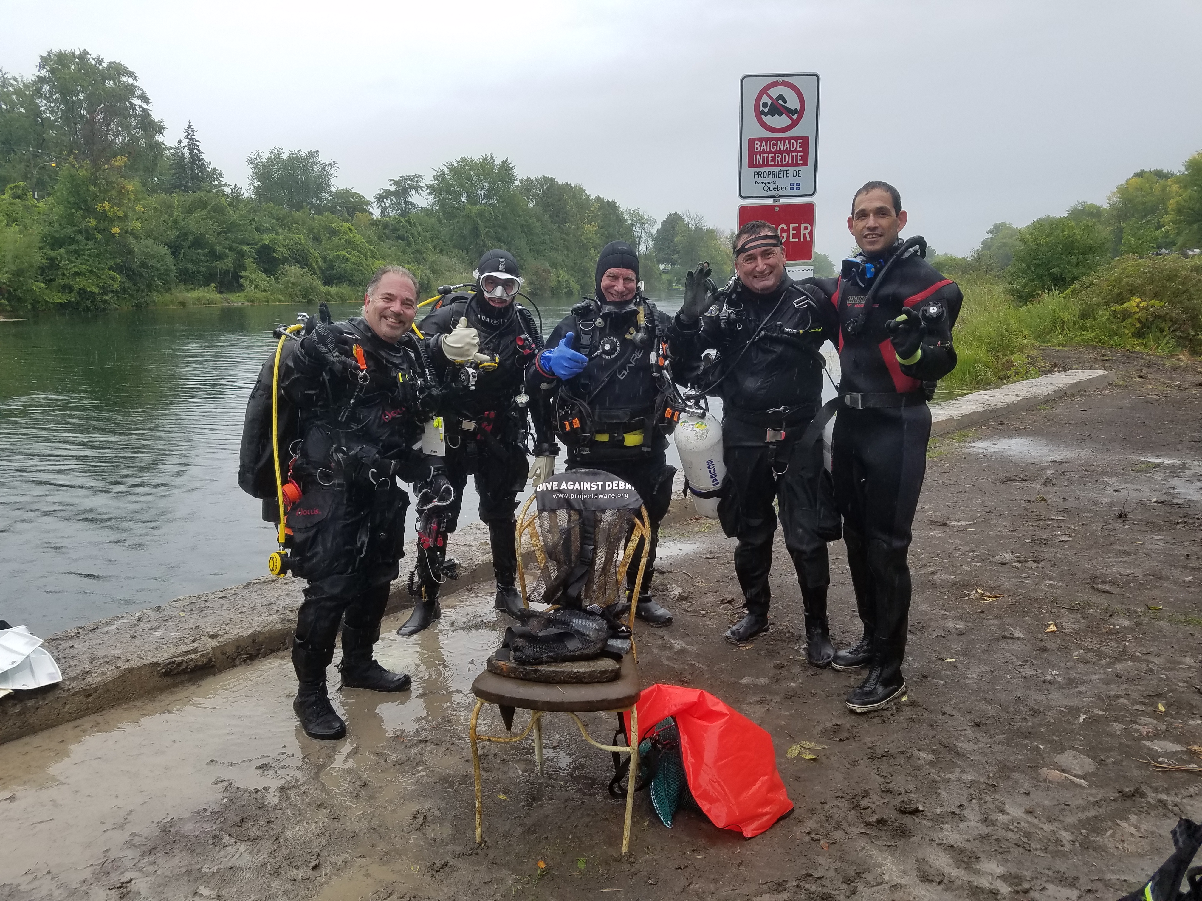
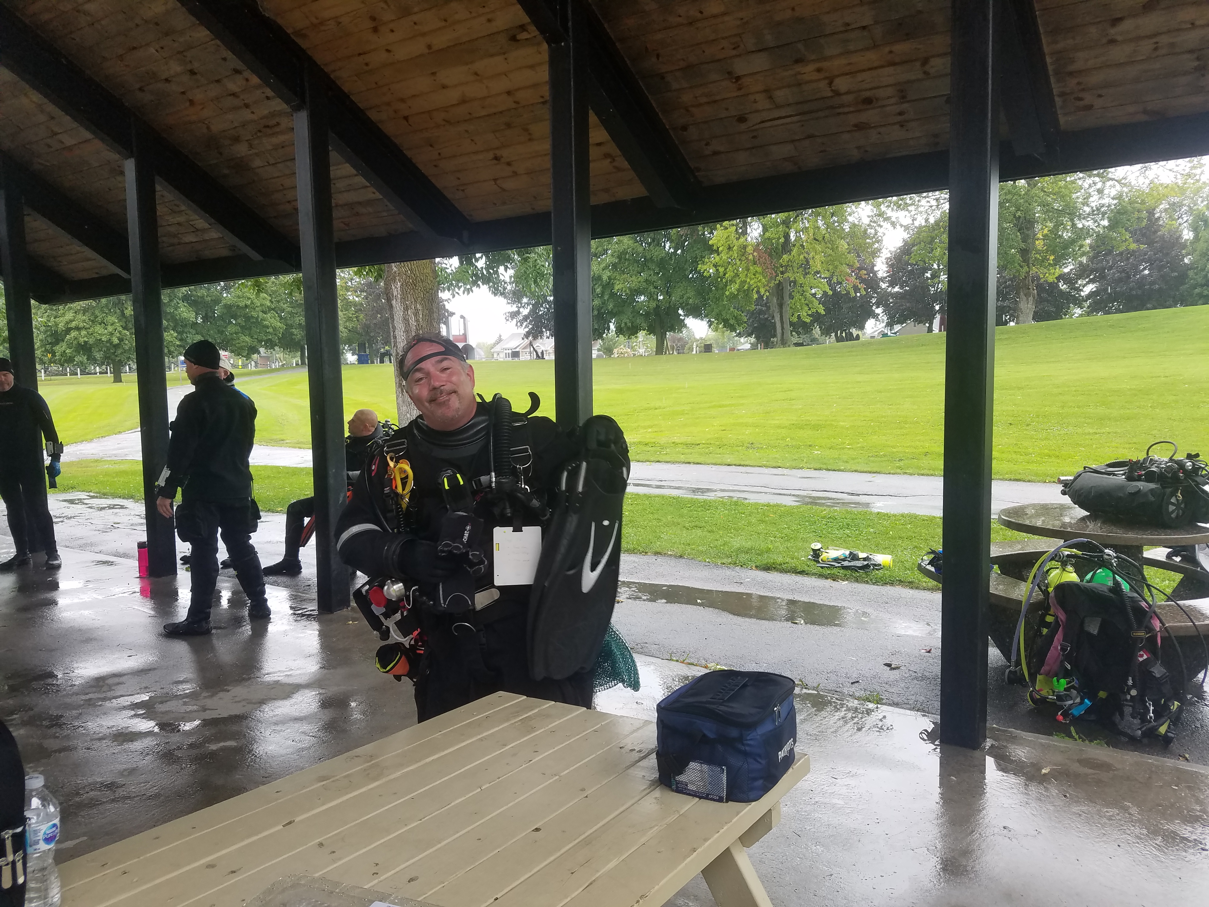
Here is the list of people that help me with the DAD mission:
Didier Duprat, Luc Grenier, Nicolas Jomphe, Marc Cassuto and Timothée Dupont.
You rock
Didier Duprat, Luc Grenier, Nicolas Jomphe, Marc Cassuto and Timothée Dupont.
You rock
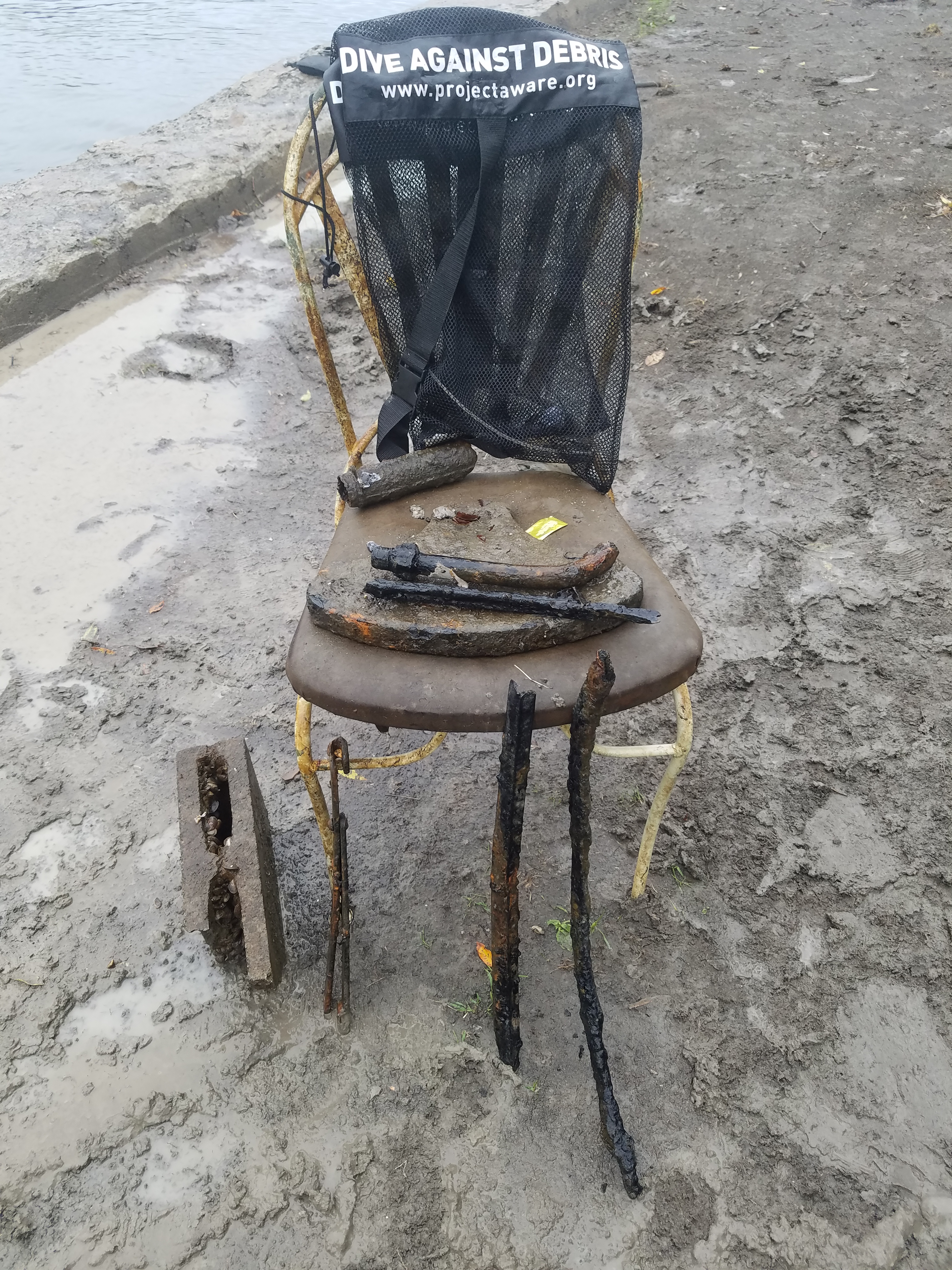
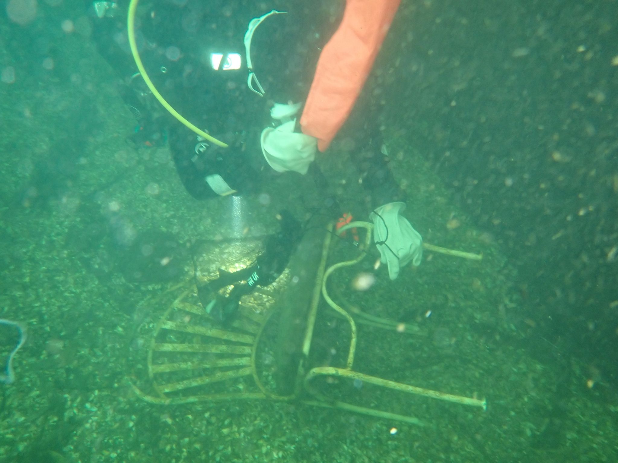
chair
cloudy and rain
1
chair
Plongee CPAS
Franck Raeppel
1
6
77.00
45
20.00
12.00
measured
25000.00
metal debris
On
pounds
I have debris data to report
Calm (glassy to rippled) for waves 0 – 0.1 meter high
ft2
feet
other
5
2
1
State\Province
Quebec
City
Montreal
Map Help
Dive Location
If you know your survey site coordinates, enter them manually in decimal degrees using WGS84 Map Datum. Use the minus sign for latitudes south of the equator and longitudes west of the Prime Meridian to 180 degrees.
If you do not know your survey site coordinates, click the “Map Location” tab to use the map to zoom into your survey site and drop the pin on the map to fall within your survey dive site in the water (not on land or the beach). Ensure you zoom in as much as possible to ensure data accuracy.
Entangled Help
Use the vertical tabs below to record any entangled animals you found of each type.
Ecosystem Other
fresh water, grass and rocks


