Menu

Rutland Water

other

52.661437707933, -0.61495510102388

sunny, couple of days of wind, calming the day before the dive
Dive Rutland
Tracey Roberts
1
4
1
2.50
45
8.00
0.50
measured
30.00
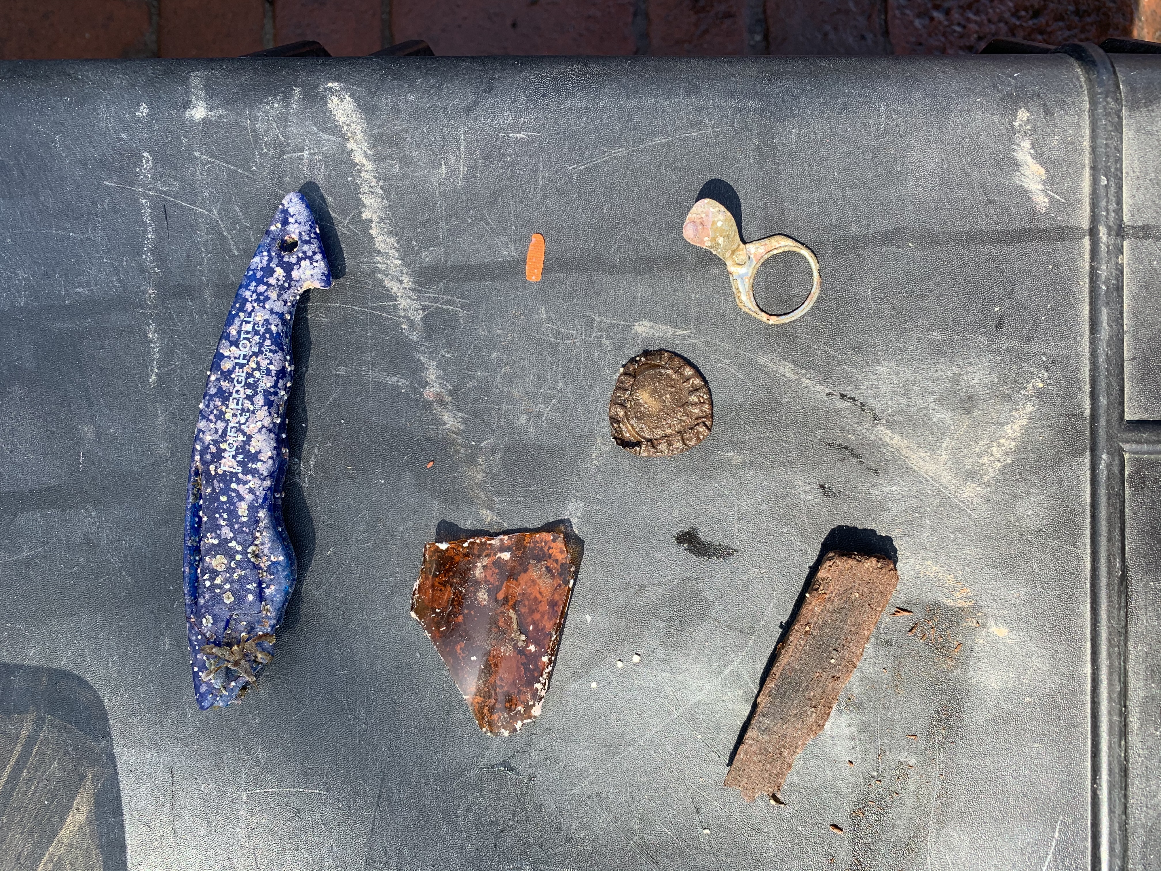
beer cans / wine bottles
On
kilograms
I have debris data to report
2
Calm (glassy to rippled) for waves 0 – 0.1 meter high m2
meters
other
1
1
United Kingdom
State\Province
Rutland
City
Ashwell
Map Help


Dive Location

If you know your survey site coordinates, enter them manually in decimal degrees using WGS84 Map Datum. Use the minus sign for latitudes south of the equator and longitudes west of the Prime Meridian to 180 degrees.

If you do not know your survey site coordinates, click the “Map Location” tab to use the map to zoom into your survey site and drop the pin on the map to fall within your survey dive site in the water (not on land or the beach). Ensure you zoom in as much as possible to ensure data accuracy.

Entangled Help


Use the vertical tabs below to record any entangled animals you found of each type.

Ecosystem Other
freshwater reservoir
Dominant Substrate Other
clay

ADS485 - May Day

0
15
12
0

9.331261, -82.246369

0
0
0
sand
0
2
0
0
0
No
Good
Bocas Dive Center
Guillermo Veghazi
0
0
0
4
0
0
0
0
0
0
0
0
0
0
3
0
0
0
0
5
0
0
0
0
0
0
29
0
0
1
0
0
1
0
0
0
8.00
50
10.00
2.00
0
estimated
0
0
0
0
100.00
0
0
0
0
0
Cans
Plastic bottles
Fishing lines
0
On
kilograms
0
I have debris data to report
2
0
0
Smooth (wavelets) for waves 0.1 - 0.5 meter high
0
0
0
1
2
0
0
m2
0
0
meters
coral reef
0
0
0
0
0
0
0
0
0
0
0
0
0
0
0
0
4
15
0
0
0
0
0
0
0
0
0
0
0
Panama
State\Province
Bocas del Toro
City
Bocas Town
Map Help


Dive Location

If you know your survey site coordinates, enter them manually in decimal degrees using WGS84 Map Datum. Use the minus sign for latitudes south of the equator and longitudes west of the Prime Meridian to 180 degrees.

If you do not know your survey site coordinates, click the “Map Location” tab to use the map to zoom into your survey site and drop the pin on the map to fall within your survey dive site in the water (not on land or the beach). Ensure you zoom in as much as possible to ensure data accuracy.

Entangled Help


Use the vertical tabs below to record any entangled animals you found of each type.

Jubilee Shoals

20

34.6280534, 32.7705364

rock

34.64089234332, 32.724418032489

Ghost Nets
We would like to setup an event to try and clear it.
Good, calm
Pissouri Bay Divers
Russell James Page
4
50
100.00
45
40.00
20.00
20
estimated
30.00
Ghost Nets
On
kilograms
I have debris data to report
Smooth (wavelets) for waves 0.1 - 0.5 meter high m2
meters
rocky reef
Cyprus
State\Province
Limassol
City
Pissouri
Map Help


Dive Location

If you know your survey site coordinates, enter them manually in decimal degrees using WGS84 Map Datum. Use the minus sign for latitudes south of the equator and longitudes west of the Prime Meridian to 180 degrees.

If you do not know your survey site coordinates, click the “Map Location” tab to use the map to zoom into your survey site and drop the pin on the map to fall within your survey dive site in the water (not on land or the beach). Ensure you zoom in as much as possible to ensure data accuracy.

Entangled Help


Use the vertical tabs below to record any entangled animals you found of each type.

Michael's Harbour

silt

49.283639460482, -54.991349089143

Heavy rain
Jessica Rideout
1
1
2
5.00
35
56.00
5.00
1
estimated
40.00
On
pounds
I have debris data to report
Calm (glassy to rippled) for waves 0 – 0.1 meter high ft2
feet
seagrass
0
1
Canada
State\Province
NL
City
Gander
Map Help


Dive Location

If you know your survey site coordinates, enter them manually in decimal degrees using WGS84 Map Datum. Use the minus sign for latitudes south of the equator and longitudes west of the Prime Meridian to 180 degrees.

If you do not know your survey site coordinates, click the “Map Location” tab to use the map to zoom into your survey site and drop the pin on the map to fall within your survey dive site in the water (not on land or the beach). Ensure you zoom in as much as possible to ensure data accuracy.

Entangled Help


Use the vertical tabs below to record any entangled animals you found of each type.

ADS114 - Kingman Wash Lake Mead

0
0
1
0

36.036694141342, -114.71095976721

1
0
0
silt
0
2
1
2
0
Snorkel
Breezy
Sin City Scuba
Curtis Snaper
0
0
0
2
6
0
0
0
1
0
0
0
0
0
0
0
0
2
0
8
0
0
0
0
0
0
3
0
0
0
0
0
0
0
0
0
1.50
32
30.00
10.00
0
estimated
0
0
0
0
9107.00
0
0
0
0
0
Fishing line
0
On
pounds
0
I have debris data to report
0
0
0
Calm (glassy to rippled) for waves 0 – 0.1 meter high
0
0
0
0
0
0
0
ft2
0
0
feet
other
0
0
0
0
0
0
0
0
0
0
0
0
0
0
0
0
0
4
0
0
0
0
0
0
0
0
0
0
0
United States
State\Province
Nevada
City
Las Vegas
Map Help


Dive Location

If you know your survey site coordinates, enter them manually in decimal degrees using WGS84 Map Datum. Use the minus sign for latitudes south of the equator and longitudes west of the Prime Meridian to 180 degrees.

If you do not know your survey site coordinates, click the “Map Location” tab to use the map to zoom into your survey site and drop the pin on the map to fall within your survey dive site in the water (not on land or the beach). Ensure you zoom in as much as possible to ensure data accuracy.

Entangled Help


Use the vertical tabs below to record any entangled animals you found of each type.

ADS08 - Cabinsite Cove

0
0
0
0

35.238882960212, -114.57687199116

0
0
0
silt
0
0
0
1
0
Sin City Scuba
Curtis Snaper
0
0
0
1
0
0
0
0
0
0
0
0
0
0
0
0
0
0
0
5
0
0
0
0
1
0
1
0
0
1
0
0
0
0
0
0
2.00
35
40.00
10.00
0
measured
0
0
0
0
17700.00
0
0
0
3
0
Fishing line
0
On
pounds
0
I have debris data to report
1
0
0
Calm (glassy to rippled) for waves 0 – 0.1 meter high
0
0
0
0
1
0
0
ft2
0
0
feet
other
0
0
0
0
0
0
0
0
0
0
0
0
0
0
1
0
0
3
0
0
0
0
1
0
0
0
0
0
0
United States
State\Province
Nevada
City
Las Vegas
Map Help


Dive Location

If you know your survey site coordinates, enter them manually in decimal degrees using WGS84 Map Datum. Use the minus sign for latitudes south of the equator and longitudes west of the Prime Meridian to 180 degrees.

If you do not know your survey site coordinates, click the “Map Location” tab to use the map to zoom into your survey site and drop the pin on the map to fall within your survey dive site in the water (not on land or the beach). Ensure you zoom in as much as possible to ensure data accuracy.

Entangled Help


Use the vertical tabs below to record any entangled animals you found of each type.

Piscina Natural da Pajuçara - Maceió

4
12
1

-9.6809330171638, -35.712294703849

sand
1
1
The area was cleaner than the previous times we organized Dive Against Debris
No
plastic hose
1
Plastic Hose
Let's Dive
Fernanda Paiva
2
2
1
1
7
4
6.00
45
3.00
0.50
2
estimated
10000.00
beverage bottles
beverage cans
plastic fragments
On
kilograms
I have debris data to report
1
2
Calm (glassy to rippled) for waves 0 – 0.1 meter high m2
1
meters
rocky reef
5
2
1
3
Brazil
State\Province
Alagoas
City
Maceió
Map Help


Dive Location

If you know your survey site coordinates, enter them manually in decimal degrees using WGS84 Map Datum. Use the minus sign for latitudes south of the equator and longitudes west of the Prime Meridian to 180 degrees.

If you do not know your survey site coordinates, click the “Map Location” tab to use the map to zoom into your survey site and drop the pin on the map to fall within your survey dive site in the water (not on land or the beach). Ensure you zoom in as much as possible to ensure data accuracy.

Entangled Help


Use the vertical tabs below to record any entangled animals you found of each type.

Catalina Casino Point

2
sand

33.37824049278, -118.34255353904

Warm, Cleat
Scubatude
Christopher Barrett
3
0.20
25
35.00
20.00
estimated
1500.00
On
pounds
I have debris data to report
1
Calm (glassy to rippled) for waves 0 – 0.1 meter high
1
ft2
feet
rocky reef
2
United States
State\Province
California
City
Santa Clarita
Map Help


Dive Location

If you know your survey site coordinates, enter them manually in decimal degrees using WGS84 Map Datum. Use the minus sign for latitudes south of the equator and longitudes west of the Prime Meridian to 180 degrees.

If you do not know your survey site coordinates, click the “Map Location” tab to use the map to zoom into your survey site and drop the pin on the map to fall within your survey dive site in the water (not on land or the beach). Ensure you zoom in as much as possible to ensure data accuracy.

Entangled Help


Use the vertical tabs below to record any entangled animals you found of each type.

Los Champiñones

0
0
0

28.001120124446, -16.656860908065

0
0
0
rock
0
0
0
0
0
No
Old coke glass bottles
Calm
0
0
0
0
0
0
0
0
0
0
0
0
0
0
0
0
0
0
0
0
Paradise Divers
Dan Scarlata
0
0
0
0
0
0
0
0
0
0
0
0
0
0
0
0
0
0
0
2
0
0
0
0
0
0
0
0
0
0
0
0
0
0
1.00
50
22.00
10.00
0
estimated
0
0
12264.50
0
0
0
0
0
Glass
0
On
kilograms
0
I have debris data to report
1
0
0
Slight for waves 0.5 -1.25 meter high
0
0
0
0
0
0
0
m2
0
0
meters
rocky reef
0
0
0
0
0
0
0
0
0
0
0
0
0
0
0
0
0
0
0
0
0
4
0
0
0
0
1
0
Spain
State\Province
Arona
City
Las Galletas
Map Help


Dive Location

If you know your survey site coordinates, enter them manually in decimal degrees using WGS84 Map Datum. Use the minus sign for latitudes south of the equator and longitudes west of the Prime Meridian to 180 degrees.

If you do not know your survey site coordinates, click the “Map Location” tab to use the map to zoom into your survey site and drop the pin on the map to fall within your survey dive site in the water (not on land or the beach). Ensure you zoom in as much as possible to ensure data accuracy.

Entangled Help


Use the vertical tabs below to record any entangled animals you found of each type.

ADS324 - Stella Maris Mambo Beach

12.085426285279, -68.898334541589

coral
7
10

12.085447267374, -68.898302355081

No
Key card with keys
Calm - Strong Current
1
Canvas Boat Cover
Ocean Encounters
Karen Maike van Asperen Vervenne
3
14
3
14.00
50
12.00
1.00
measured
150.00
Fishing line
On
kilograms
I have debris data to report
6
Smooth (wavelets) for waves 0.1 - 0.5 meter high m2
meters
coral reef
2
2
Netherlands Antilles
State\Province
Curacao
City
Bapor Kibra z/n
Map Help


Dive Location

If you know your survey site coordinates, enter them manually in decimal degrees using WGS84 Map Datum. Use the minus sign for latitudes south of the equator and longitudes west of the Prime Meridian to 180 degrees.

If you do not know your survey site coordinates, click the “Map Location” tab to use the map to zoom into your survey site and drop the pin on the map to fall within your survey dive site in the water (not on land or the beach). Ensure you zoom in as much as possible to ensure data accuracy.

Entangled Help


Use the vertical tabs below to record any entangled animals you found of each type.

Subscribe to