Menu

ADS528 - Radazul

0
102
0

28.401039526734, -16.324007844096

0
7
0
sand
0
0
0
16
0
No
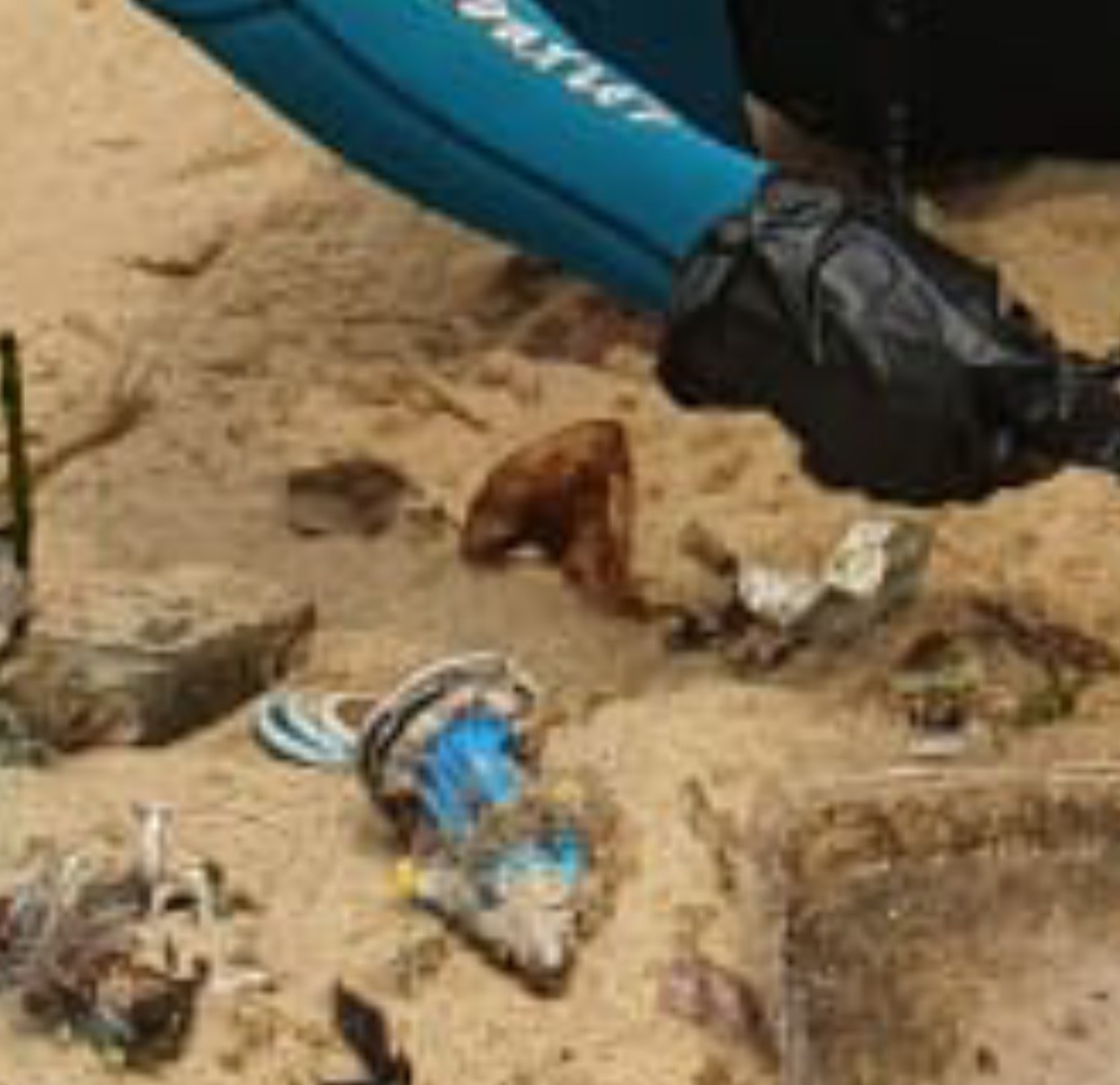
Piece of rubber frame
A little bit of wind
2
0
0
0
0
0
0
0
0
0
0
0
0
0
0
0
0
0
0
0
Headband
Scubanana Dive Center
Laura Sanchez
0
0
0
0
0
4
0
0
2
0
0
0
0
0
0
0
0
3
0
6
0
0
1
0
6
0
0
0
0
0
0
0
0
0
1.00
45
12.00
3.00
1
estimated
0
1
5236.42
0
0
0
2
0
Sanitary pad
Plastic bags
Fishing nylon
4
On
kilograms
0
I have debris data to report
0
0
0
Calm (glassy to rippled) for waves 0 – 0.1 meter high
0
10
0
Rope
Crab
Released Unharmed
3
0
6
0
0
m2
6
0
meters
rocky reef
1
0
0
0
0
1
0
0
0
0
0
0
0
0
1
0
1
0
0
0
0
2
0
0
0
0
0
0
Spain
State\Province
Tenerife
City
Radazul
Map Help


Dive Location

If you know your survey site coordinates, enter them manually in decimal degrees using WGS84 Map Datum. Use the minus sign for latitudes south of the equator and longitudes west of the Prime Meridian to 180 degrees.

If you do not know your survey site coordinates, click the “Map Location” tab to use the map to zoom into your survey site and drop the pin on the map to fall within your survey dive site in the water (not on land or the beach). Ensure you zoom in as much as possible to ensure data accuracy.

Entangled Help


Use the vertical tabs below to record any entangled animals you found of each type.

Lake Hawkins Dive Against Debris

13
17
2

32.6116, -95.2580784

6
7
sand
1
3
8
7
Patrons to the city park enjoy the pristine water of Lake Hawkins by floating in tubes and drinking. They have dropped their trash and not brought it ashore.
We really enjoyed kicking off AWARE week with an local cleanup. The day began at 8:30. We cleaned for about three hours and broke for lunch and a little recharge. After lunch, the team worked for about two more hours before calling it a day. There were 6-7 teams in the water and three full time volunteers working on land to catalog and bag the finds. The event also raised $150 which we will be donating to Project Aware this week.
Swim trunks and socks ???
fish could not get out -diver cut can and fish swam out
Cool nights, clear days,
21
3
4
1
5
sunglasses
vape pen
jewelry
concrete bucket
koozie
Diver's Depot
Donna Johnson
1
291
16
3
4
15
16
3
5
232
5
4
450.00
300
15.00
4.00
2
estimated
1
1000.00
1
2
beer cans
On
pounds
I have debris data to report
112
Calm (glassy to rippled) for waves 0 – 0.1 meter high
Released Unharmed
Catfish
5
beer can
3
4
ft2
feet
other
2
21
1183
United States
State\Province
Texas
City
Nacogdoches
Map Help


Dive Location

If you know your survey site coordinates, enter them manually in decimal degrees using WGS84 Map Datum. Use the minus sign for latitudes south of the equator and longitudes west of the Prime Meridian to 180 degrees.

If you do not know your survey site coordinates, click the “Map Location” tab to use the map to zoom into your survey site and drop the pin on the map to fall within your survey dive site in the water (not on land or the beach). Ensure you zoom in as much as possible to ensure data accuracy.

Entangled Help


Use the vertical tabs below to record any entangled animals you found of each type.

Ecosystem Other
fresh water lake. Some underwater growth present. Good area for young fish.

T-steiger Zegerplas, Alphen aan den Rijn

13
10
sand
2

52.129831936484, 4.6833546133872

Summers fair and party, day camp site.
Stable sunny and dry weather. 20 degrees celsius
Discovery Divers
Irene en Erik Huigen
1
153
3
20
14
3
5
3
148.00
45
8.00
1.00
measured
1
5400.00
2
Plastic cups, plates, forks and knives, because of the sheer number of them
Batteries, because of the chemical pollution
Glass and barbed wire, because of the injury risk for divers and swimmers
1
On
kilograms
I have debris data to report
15
Smooth (wavelets) for waves 0.1 - 0.5 meter high
2
1
1
0
0
1
3
m2
2
meters
other
5
5
2
31
1
23
3
2
Netherlands
State\Province
Zuid-Holland
City
Reeuwijk
Map Help


Dive Location

If you know your survey site coordinates, enter them manually in decimal degrees using WGS84 Map Datum. Use the minus sign for latitudes south of the equator and longitudes west of the Prime Meridian to 180 degrees.

If you do not know your survey site coordinates, click the “Map Location” tab to use the map to zoom into your survey site and drop the pin on the map to fall within your survey dive site in the water (not on land or the beach). Ensure you zoom in as much as possible to ensure data accuracy.

Entangled Help


Use the vertical tabs below to record any entangled animals you found of each type.

Ecosystem Other
Sweet water lake

Mononaftis

0
0
0

35.416280651001, 25.019137388939

0
0
0
gravel
0
0
0
0
0
Nice place for beginners
Aware week
Lines from fishing
Windy
0
0
0
0
0
0
0
0
0
0
0
0
0
0
0
0
0
0
0
0
#434997
Tobias Fraeulin
0
0
0
0
0
0
0
0
0
0
0
0
0
0
0
0
0
0
0
3
0
0
0
0
0
0
0
0
0
0
0
0
0
0
0.00
45
20.00
5.00
0
estimated
0
0
19354.80
0
0
0
0
0
0
On
kilograms
0
Our Survey Site was free of debris
0
0
0
Smooth (wavelets) for waves 0.1 - 0.5 meter high
0
0
0
0
0
0
0
m2
0
0
meters
rocky reef
0
0
0
0
0
0
0
0
0
0
0
0
0
0
0
0
0
0
0
0
0
0
0
0
0
0
0
0
Greece
State\Province
Heraklion
City
Mononaftis
Map Help


Dive Location

If you know your survey site coordinates, enter them manually in decimal degrees using WGS84 Map Datum. Use the minus sign for latitudes south of the equator and longitudes west of the Prime Meridian to 180 degrees.

If you do not know your survey site coordinates, click the “Map Location” tab to use the map to zoom into your survey site and drop the pin on the map to fall within your survey dive site in the water (not on land or the beach). Ensure you zoom in as much as possible to ensure data accuracy.

Entangled Help


Use the vertical tabs below to record any entangled animals you found of each type.

ADS126 - Chilpo Beach Northern Rocky outcrop

14
137
1
2

36.136072, 129.398292

1
5
sand
1
7
Big shoutout to AWARE Week 2020!

The water was very clear on this day. I went farther north than usual as all year the water there has been very murky and vis had been zero due to so much rain and runoff most of the season. I found SOOO much trash there I just could not remove it all. It broke my heart swimming back to the exit point and passing by so much trash that I just wasnt able to remove.

Because of the virus the debris I have removed this season until today for the most part had been random stuff that I typically find all year rather than the usual "beachgoer" related stuff I usually find in late summer and fall as people had not been visiting the beaches as much. Today however many of the debris items found were fresh/new and obviously things people on the beach or nearby pleasure boating had discarded and/or lost.
Full video of dive here: https://youtu.be/jaxZnIEYGwk
Pool/Swimming Floats
Clear. Some rough seas several days ago but very calm surface for the past few days
2
Pool/Swimming Floats
Dive Against Debris Korea (Daegu)
William Henderson
4
1
6
1
2
5
20.00
77
6.00
1.00
7
estimated
6
200.00
2
2
1
gloves
random crap
On
kilograms
I have debris data to report
Smooth (wavelets) for waves 0.1 - 0.5 meter high
5
29
5
4
m2
10
meters
rocky reef
5
1
1
6
4
8
South Korea
State\Province
Gyeongbukdo
City
Pohang
Map Help


Dive Location

If you know your survey site coordinates, enter them manually in decimal degrees using WGS84 Map Datum. Use the minus sign for latitudes south of the equator and longitudes west of the Prime Meridian to 180 degrees.

If you do not know your survey site coordinates, click the “Map Location” tab to use the map to zoom into your survey site and drop the pin on the map to fall within your survey dive site in the water (not on land or the beach). Ensure you zoom in as much as possible to ensure data accuracy.

Entangled Help


Use the vertical tabs below to record any entangled animals you found of each type.

Ras il Hobz

21
6

36.016665671456, 14.27832200416

0
rock
5
5

36.016665671456, 14.27832200416

Bubbles Dive Centre
2
3
11
12
5
8
4
10
15
2
40.00
60
50.00
4.00
estimated
3257.40
1
On
kilograms
I have debris data to report
2
Calm (glassy to rippled) for waves 0 – 0.1 meter high
3
1
m2
1
2
meters
seagrass
7
2
2
2
2
8
Malta
State\Province
Gozo
City
Marsalforn
Map Help


Dive Location

If you know your survey site coordinates, enter them manually in decimal degrees using WGS84 Map Datum. Use the minus sign for latitudes south of the equator and longitudes west of the Prime Meridian to 180 degrees.

If you do not know your survey site coordinates, click the “Map Location” tab to use the map to zoom into your survey site and drop the pin on the map to fall within your survey dive site in the water (not on land or the beach). Ensure you zoom in as much as possible to ensure data accuracy.

Entangled Help


Use the vertical tabs below to record any entangled animals you found of each type.

Milo's Garden

33
41
5
0

-8.136618, 114.64986

0
0
0
sand
0
20
2
6
0
Windy
Plastic fragments
Windy
Abyss Ocean World
Muhammad Said Nurdin
0
0
0
15
0
0
2
0
0
1
0
0
0
0
3
0
0
3
0
6
0
0
0
0
0
0
3
0
0
0
0
0
0
3
0
0
5.00
60
18.00
3.00
2
measured
0
0
0
0
631.09
0
0
0
0
0
Plastic fragments
0
On
kilograms
0
I have debris data to report
0
0
0
Calm (glassy to rippled) for waves 0 – 0.1 meter high
0
0
0
0
0
0
0
m2
1
0
meters
seagrass
0
0
0
0
0
0
0
0
0
0
0
0
0
0
0
0
0
0
0
0
0
0
0
0
0
0
0
0
0
Indonesia
State\Province
Bali
City
Pemutaran
Map Help


Dive Location

If you know your survey site coordinates, enter them manually in decimal degrees using WGS84 Map Datum. Use the minus sign for latitudes south of the equator and longitudes west of the Prime Meridian to 180 degrees.

If you do not know your survey site coordinates, click the “Map Location” tab to use the map to zoom into your survey site and drop the pin on the map to fall within your survey dive site in the water (not on land or the beach). Ensure you zoom in as much as possible to ensure data accuracy.

Entangled Help


Use the vertical tabs below to record any entangled animals you found of each type.

ADS464 - Quarry Ramada

0
0
0

56.777201962343, 60.717877934269

0
0
0
other
0
0
0
0
0
Without the wind and it's cold
0
0
0
0
0
0
0
0
0
0
0
0
0
0
0
0
0
0
0
0
Ural-ALPHA-Divind
Vladimir Akimov
0
0
0
0
0
0
0
0
0
0
0
0
0
0
0
0
0
0
0
3
0
0
0
0
0
0
0
0
0
0
0
0
0
0
0.00
58
8.00
2.00
0
estimated
0
0
1738.56
0
0
0
0
0
0
On
kilograms
0
Our Survey Site was free of debris
0
0
0
Calm (glassy to rippled) for waves 0 – 0.1 meter high
0
0
0
0
0
0
0
m2
0
0
meters
other
0
0
0
0
0
0
0
0
0
0
0
0
0
0
0
0
0
0
0
0
0
0
0
0
0
0
0
0
Russia
State\Province
Sverdlovsk
City
Ekaterinburg
Map Help


Dive Location

If you know your survey site coordinates, enter them manually in decimal degrees using WGS84 Map Datum. Use the minus sign for latitudes south of the equator and longitudes west of the Prime Meridian to 180 degrees.

If you do not know your survey site coordinates, click the “Map Location” tab to use the map to zoom into your survey site and drop the pin on the map to fall within your survey dive site in the water (not on land or the beach). Ensure you zoom in as much as possible to ensure data accuracy.

Entangled Help


Use the vertical tabs below to record any entangled animals you found of each type.

https://www.facebook.com/kafangoverdeoficial/

-22.9547, -43.1649

4
sand
125
1

-22.980455, -43.1903037

WE FOUND STATUE OF IEMANJÁ 15CM.
SUNNY
MIN 26º
MÁX 34º
PROJETO KAFANGO VERDE
SEBASTIÃO LUIS SILVA
2
19
11
8
2
13
7
2.00
300
8.00
3.00
estimated
28
40.00
1
PLASTIC
COVERS
FISHING LINE
On
kilograms
I have debris data to report
2
Smooth (wavelets) for waves 0.1 - 0.5 meter high
3
m2
meters
rocky reef
2
2
Brazil
State\Province
RIO DE JANEIRO
City
BELFORD ROXO
Map Help


Dive Location

If you know your survey site coordinates, enter them manually in decimal degrees using WGS84 Map Datum. Use the minus sign for latitudes south of the equator and longitudes west of the Prime Meridian to 180 degrees.

If you do not know your survey site coordinates, click the “Map Location” tab to use the map to zoom into your survey site and drop the pin on the map to fall within your survey dive site in the water (not on land or the beach). Ensure you zoom in as much as possible to ensure data accuracy.

Entangled Help


Use the vertical tabs below to record any entangled animals you found of each type.

ADS454 - Black Rock

1
1

20.922628683971, -156.70070270832

26
rock
60
Fishing on the rocks at the dive site
International Coastal Cleanup Day 2020!
wedding ring and golf ball used as a fishing sinker
Sunny, calm
1
wedding ring
Extended Horizons Scuba Maui
Hannah Elliott
1
1
22
1
9.50
60
25.00
5.00
measured
75
29357.80
fishing line
fishing weights
fishing lures
On
pounds
I have debris data to report
Smooth (wavelets) for waves 0.1 - 0.5 meter high ft2
feet
rocky reef
1
5
United States
State\Province
Hawaii
City
Lahaina
Map Help


Dive Location

If you know your survey site coordinates, enter them manually in decimal degrees using WGS84 Map Datum. Use the minus sign for latitudes south of the equator and longitudes west of the Prime Meridian to 180 degrees.

If you do not know your survey site coordinates, click the “Map Location” tab to use the map to zoom into your survey site and drop the pin on the map to fall within your survey dive site in the water (not on land or the beach). Ensure you zoom in as much as possible to ensure data accuracy.

Entangled Help


Use the vertical tabs below to record any entangled animals you found of each type.

Subscribe to