ADB - Galtan S22397
1
67.133082, 15.443494
24
rock
9
Picture screen dump from video
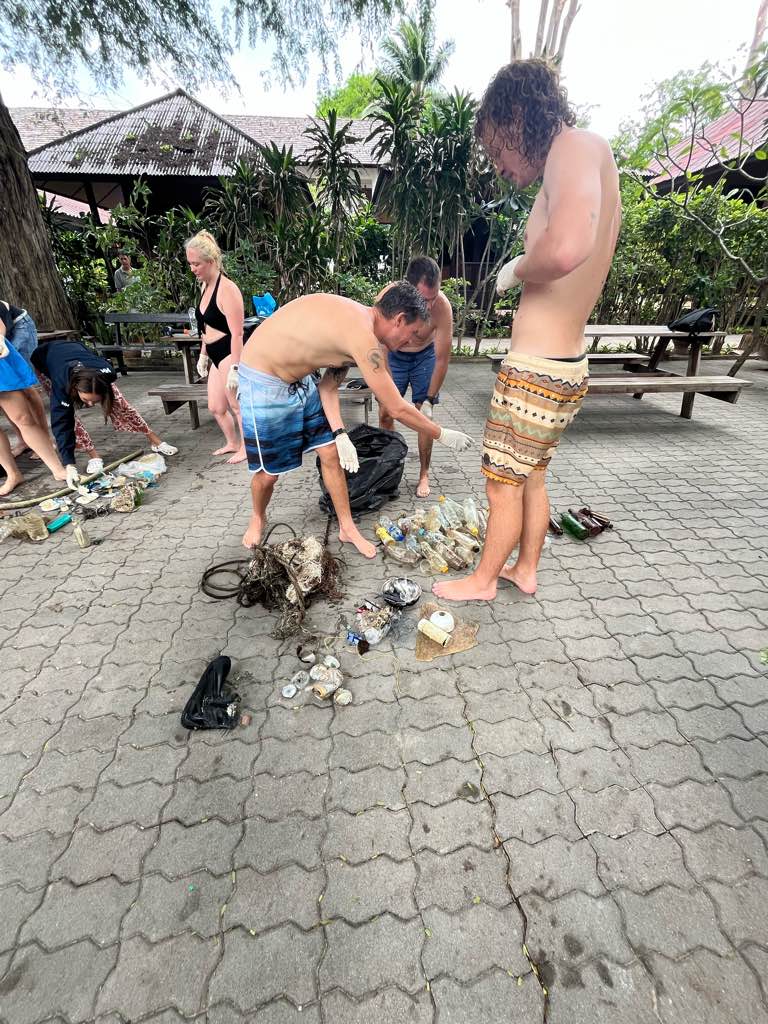
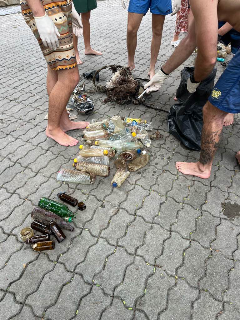
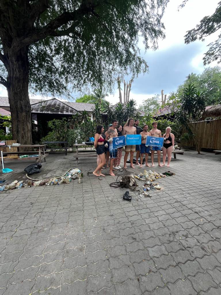
Summary from 2 dives from 2024, one in february and one in november.
Hard corral discovery, the first one in the part of Norway shallow enough to dive to.
Summary from 2 dives from 2024, one in february and one in november.
Hard corral discovery, the first one in the part of Norway shallow enough to dive to.
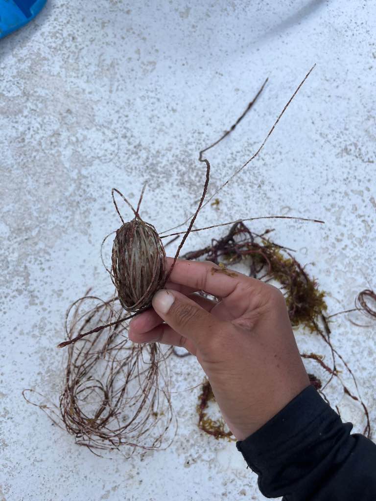
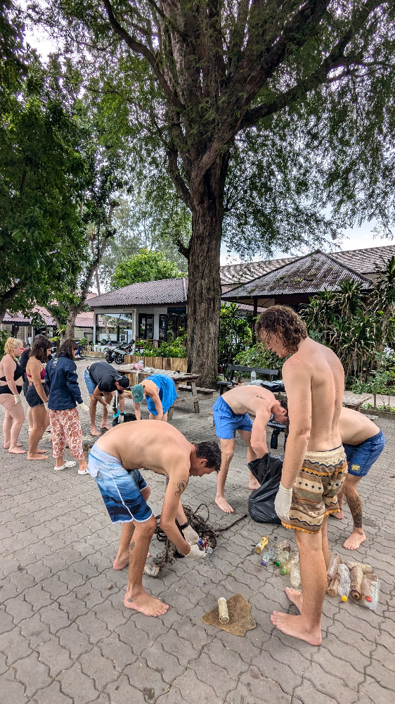
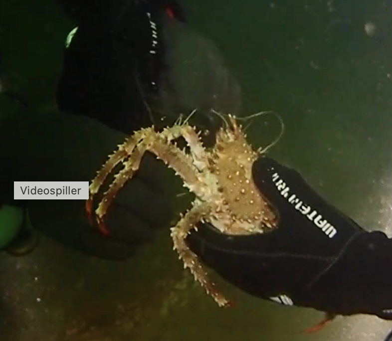
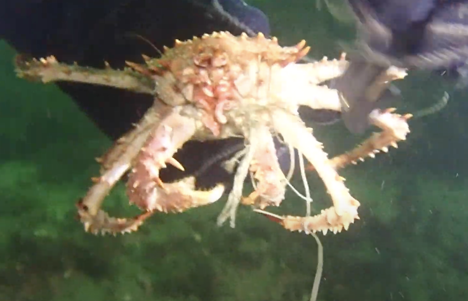
Stuck king crabb (juv) got all fishing line off him/her.
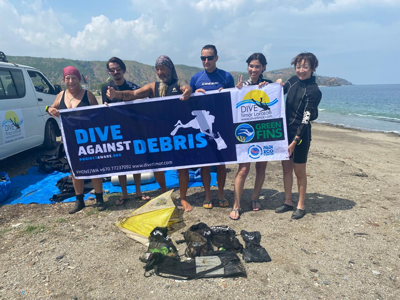
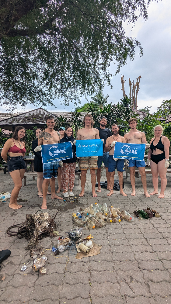
NORD&NE
Fredric Ihrsen
2
1.80
52
40.00
1.00
measured
15
1000.00
On
kilograms
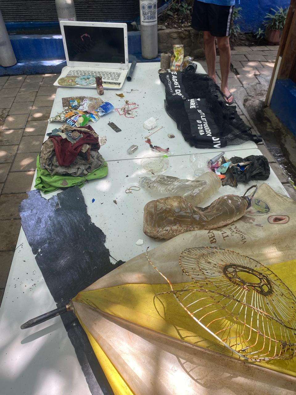
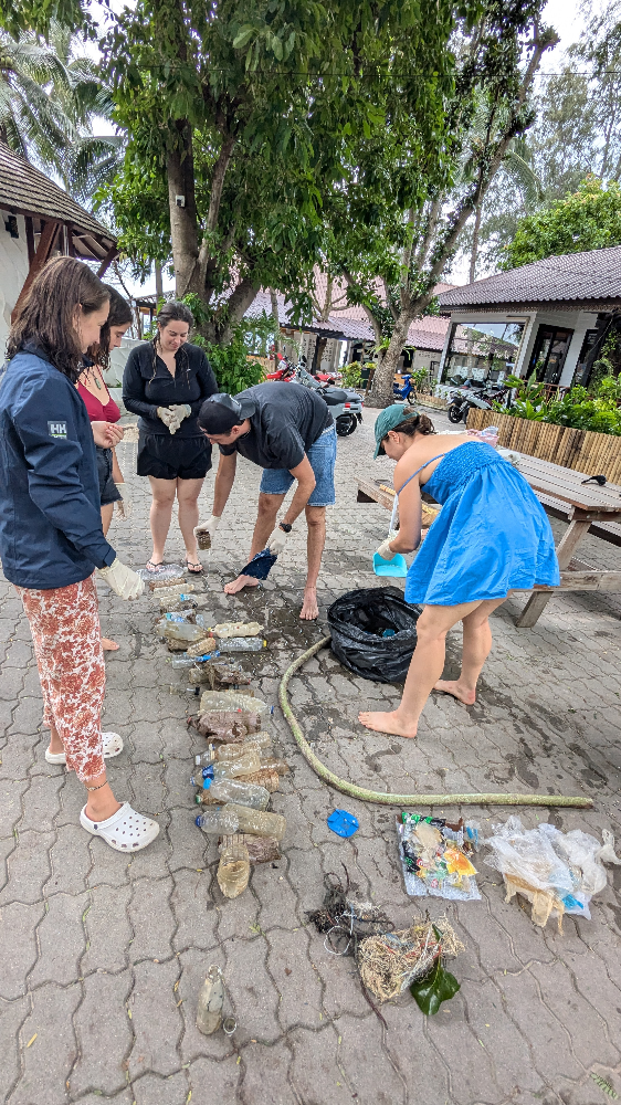
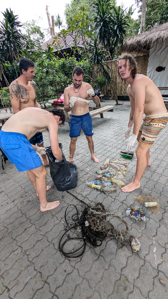
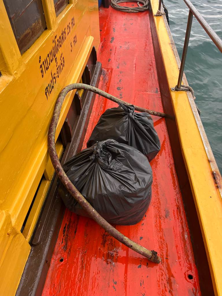
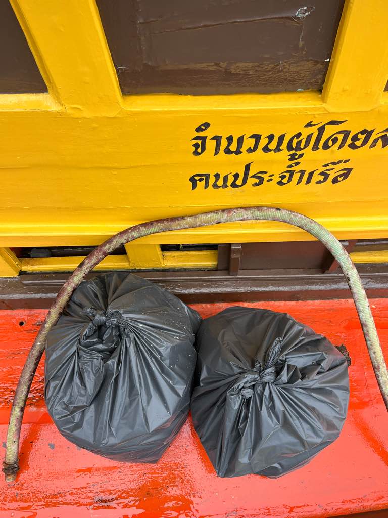
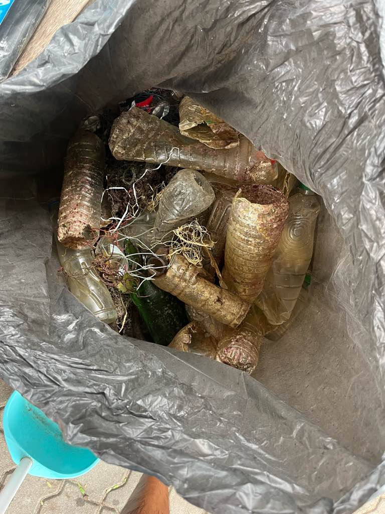
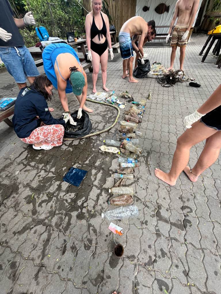
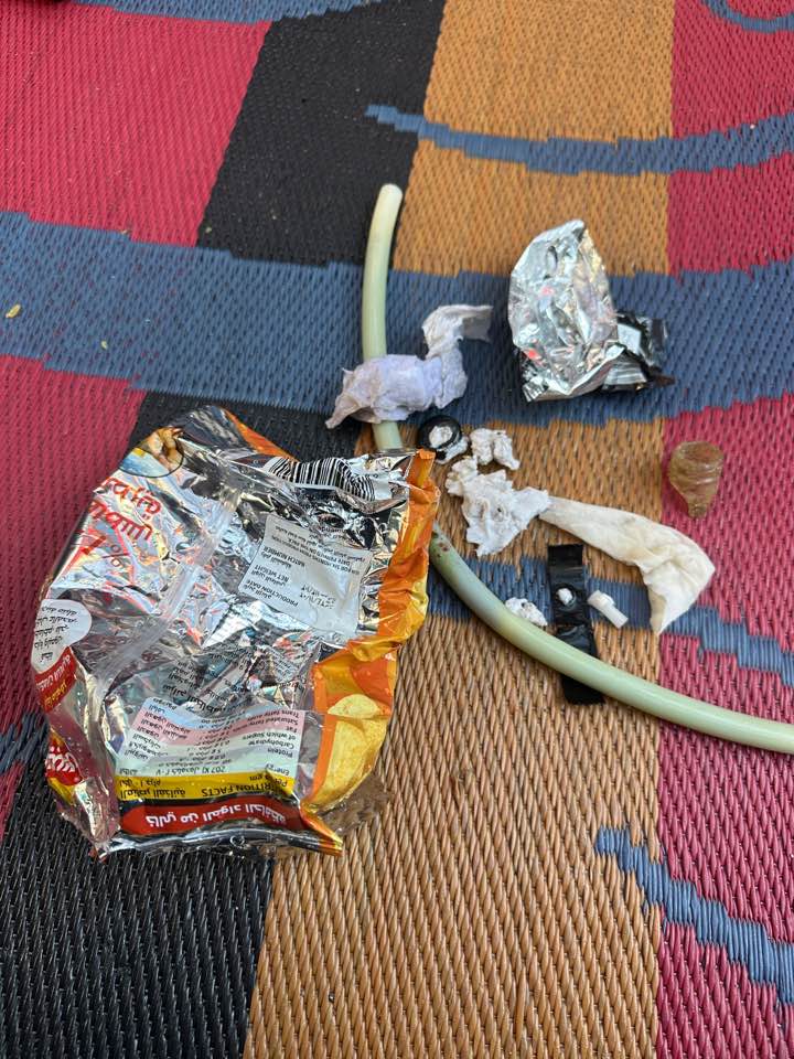
I have debris data to report
Smooth (wavelets) for waves 0.1 - 0.5 meter high
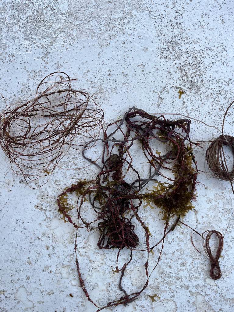
Fishing line
Trollkrabba
Released Unharmed
1
m2
meters
kelp
Map Help
Dive Location
If you know your survey site coordinates, enter them manually in decimal degrees using WGS84 Map Datum. Use the minus sign for latitudes south of the equator and longitudes west of the Prime Meridian to 180 degrees.
If you do not know your survey site coordinates, click the “Map Location” tab to use the map to zoom into your survey site and drop the pin on the map to fall within your survey dive site in the water (not on land or the beach). Ensure you zoom in as much as possible to ensure data accuracy.
Entangled Help