ADB - ADS116 - Tunnelen S22397
1
67.234674, 14.604692
54
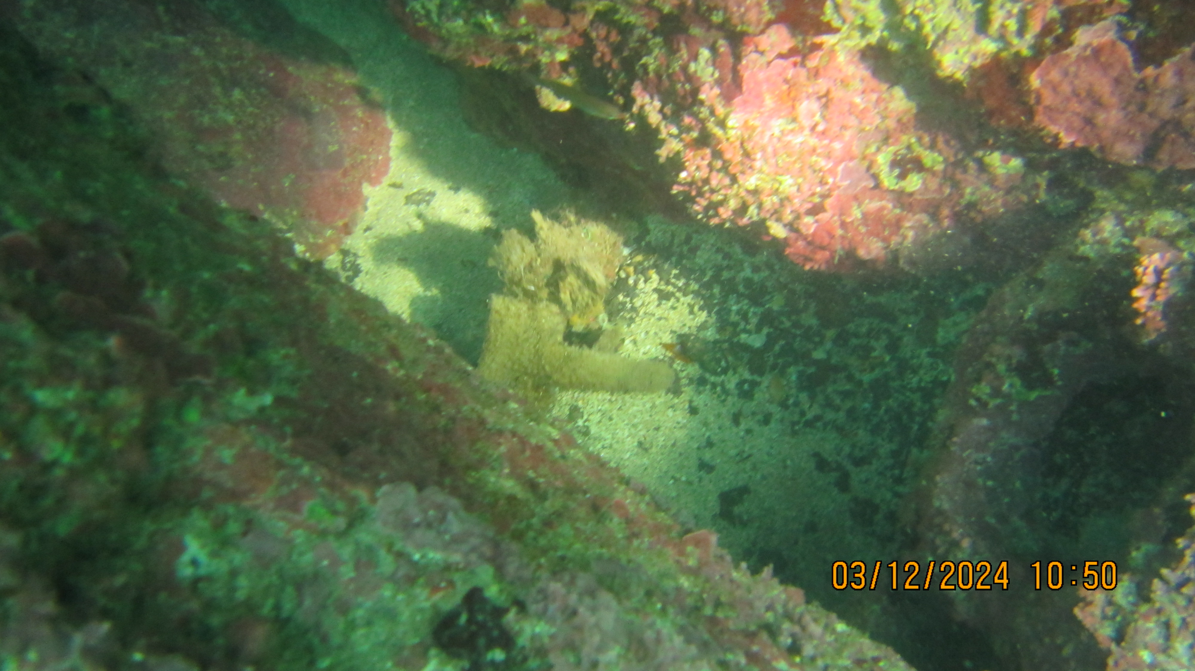
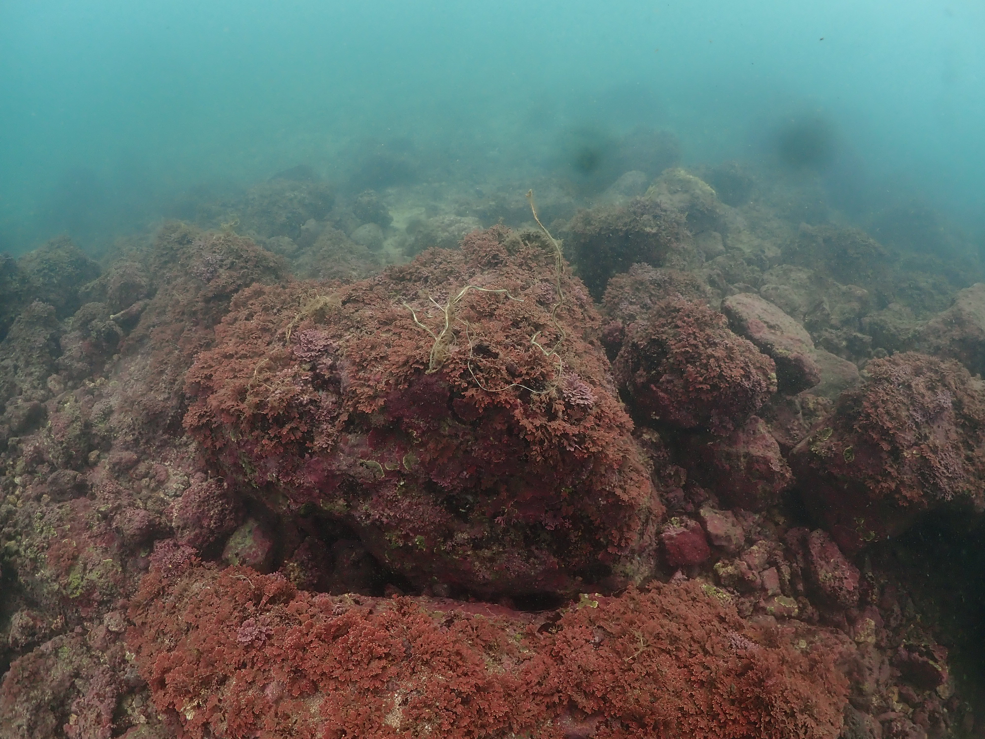
rock
138
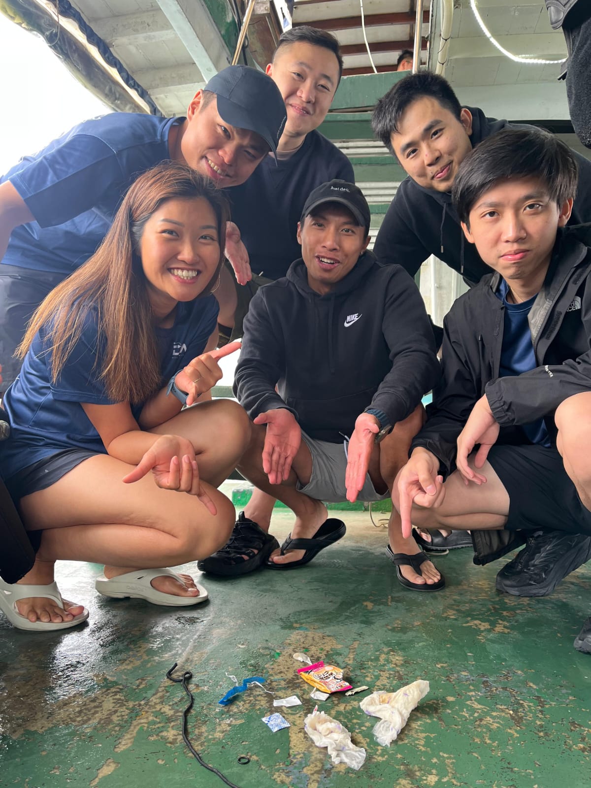
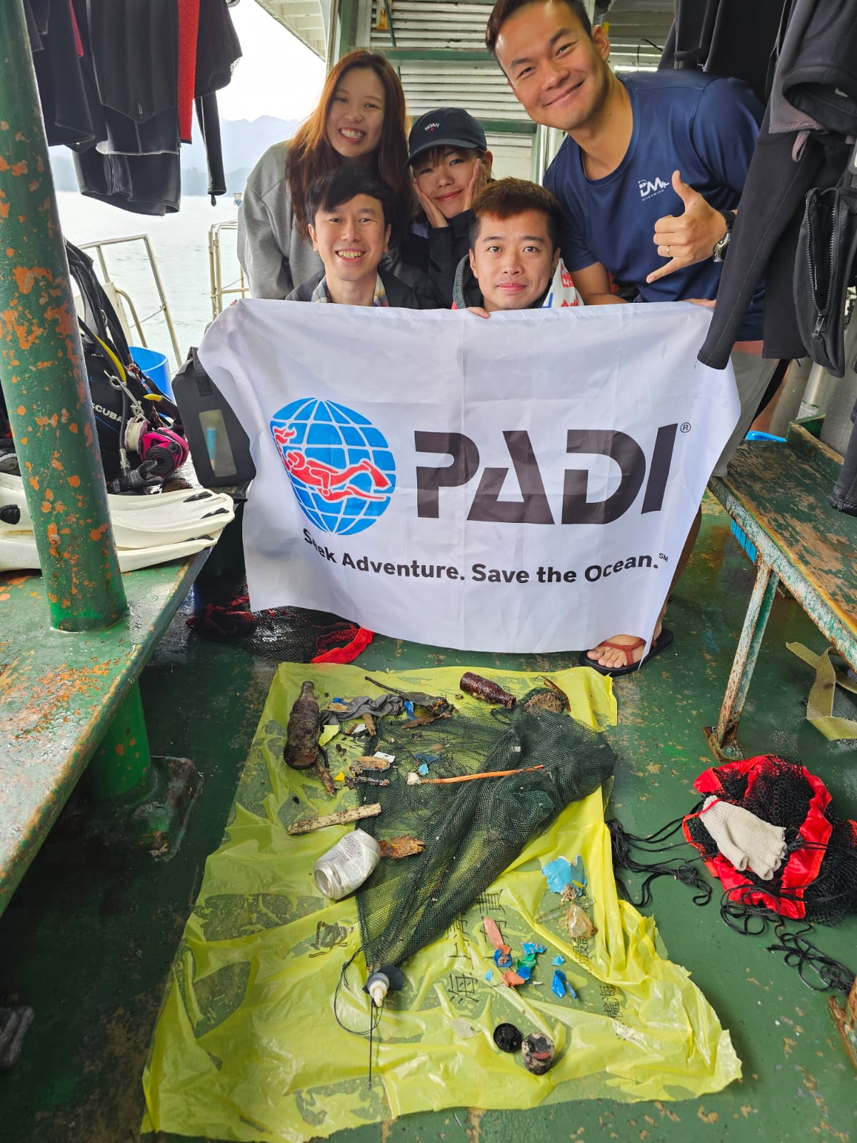
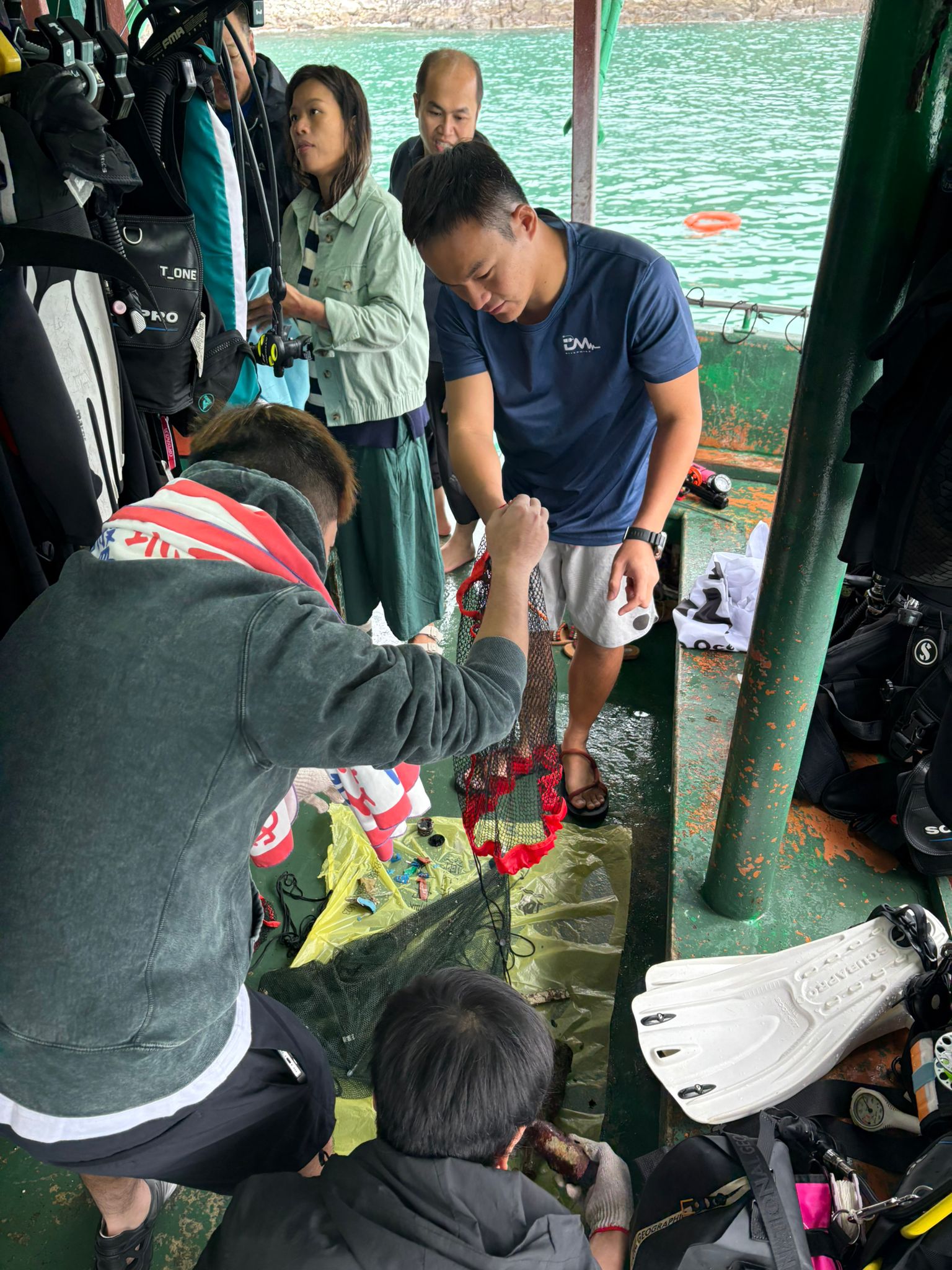
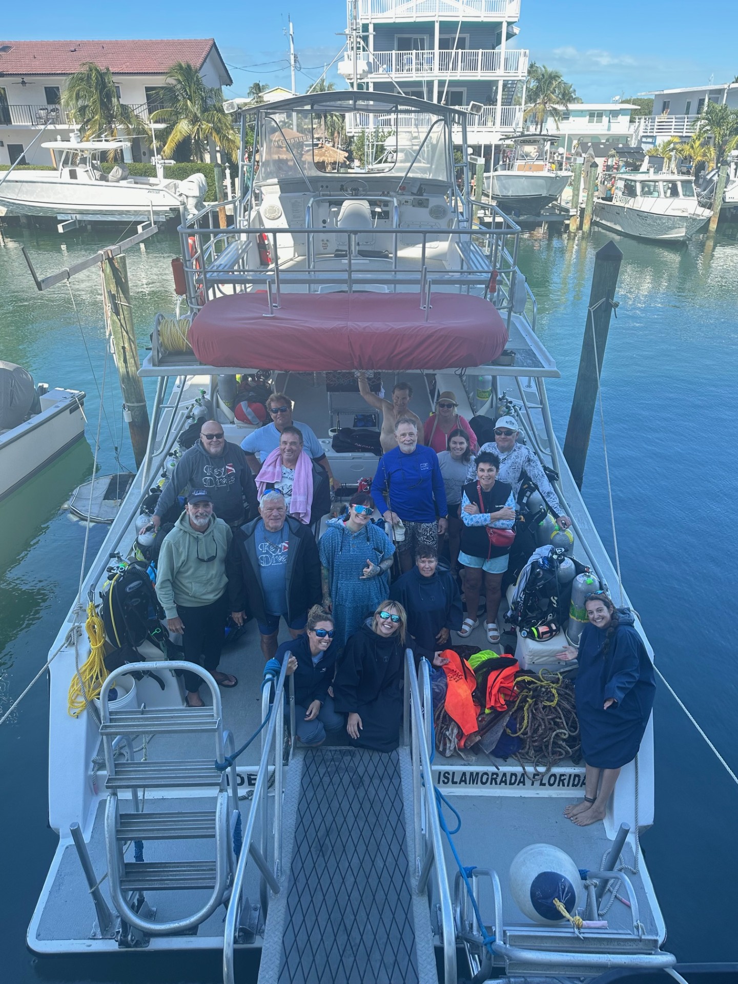
11 guided dives in September and October with guests and/or students.
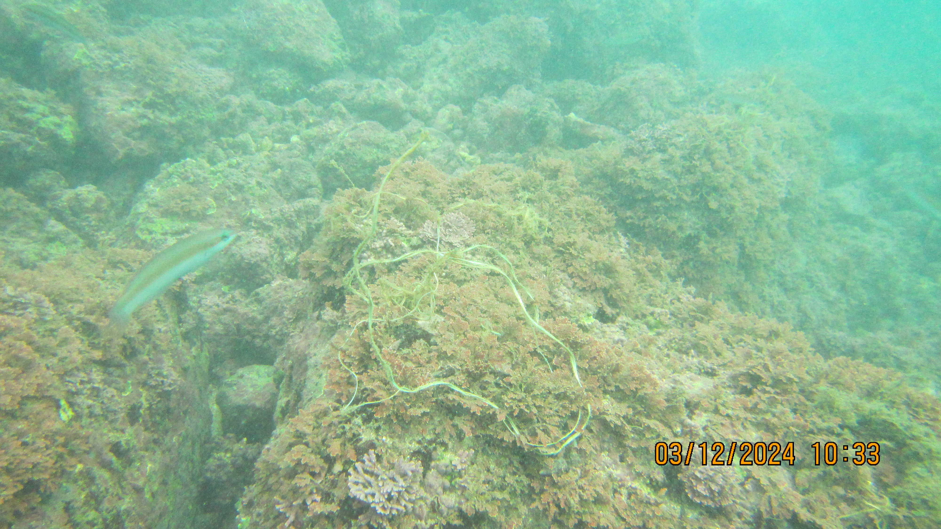
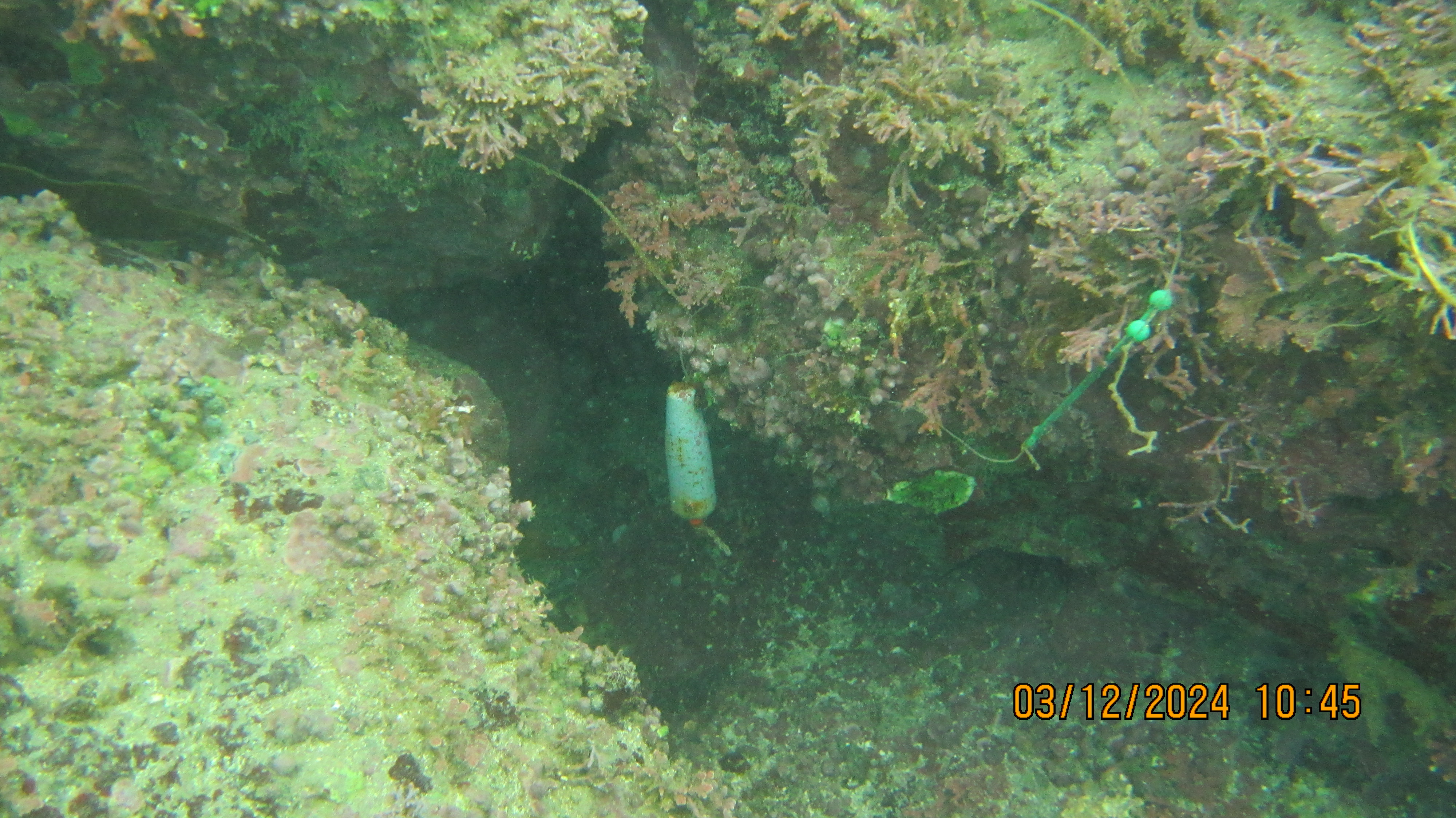
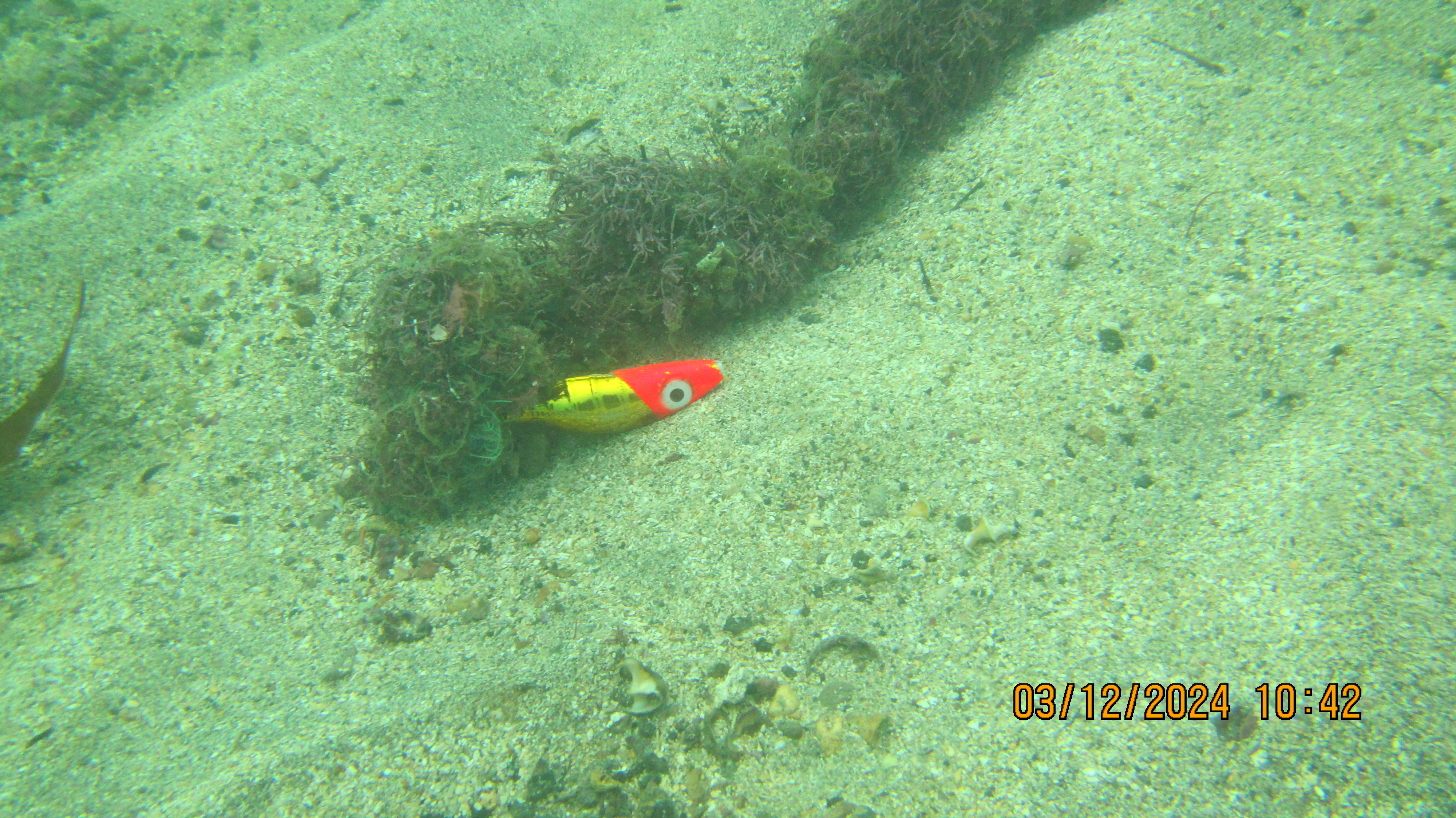
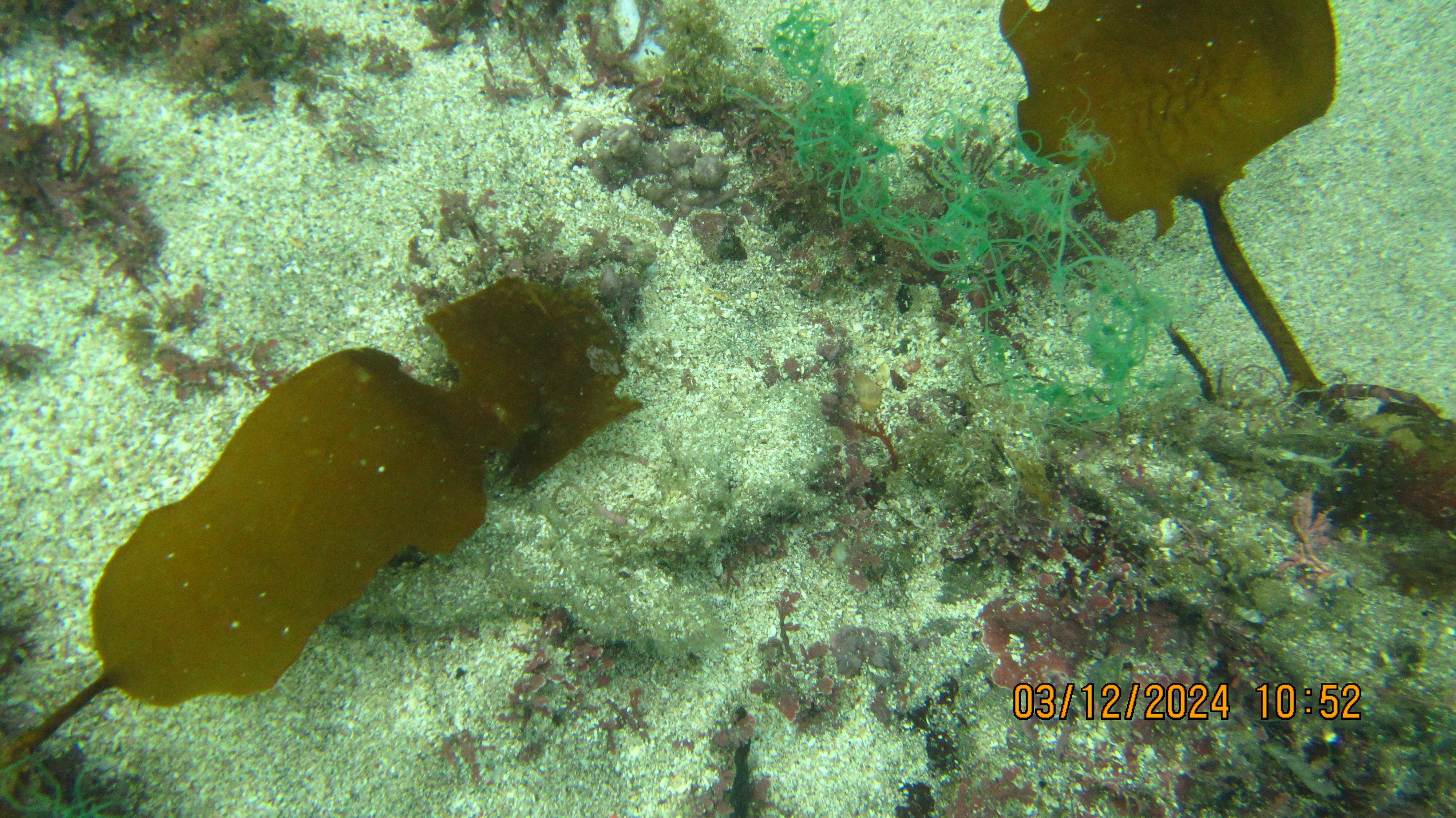
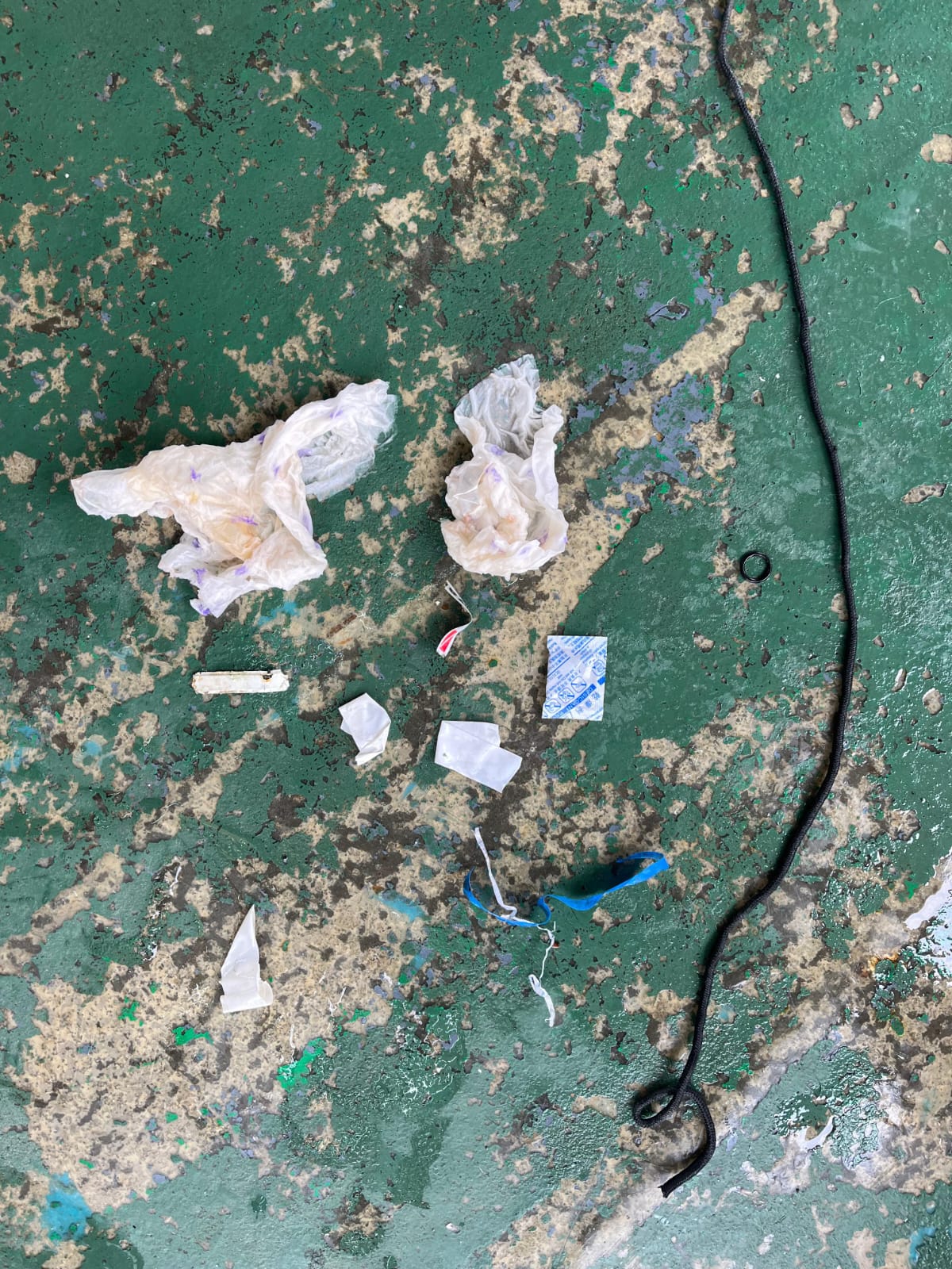
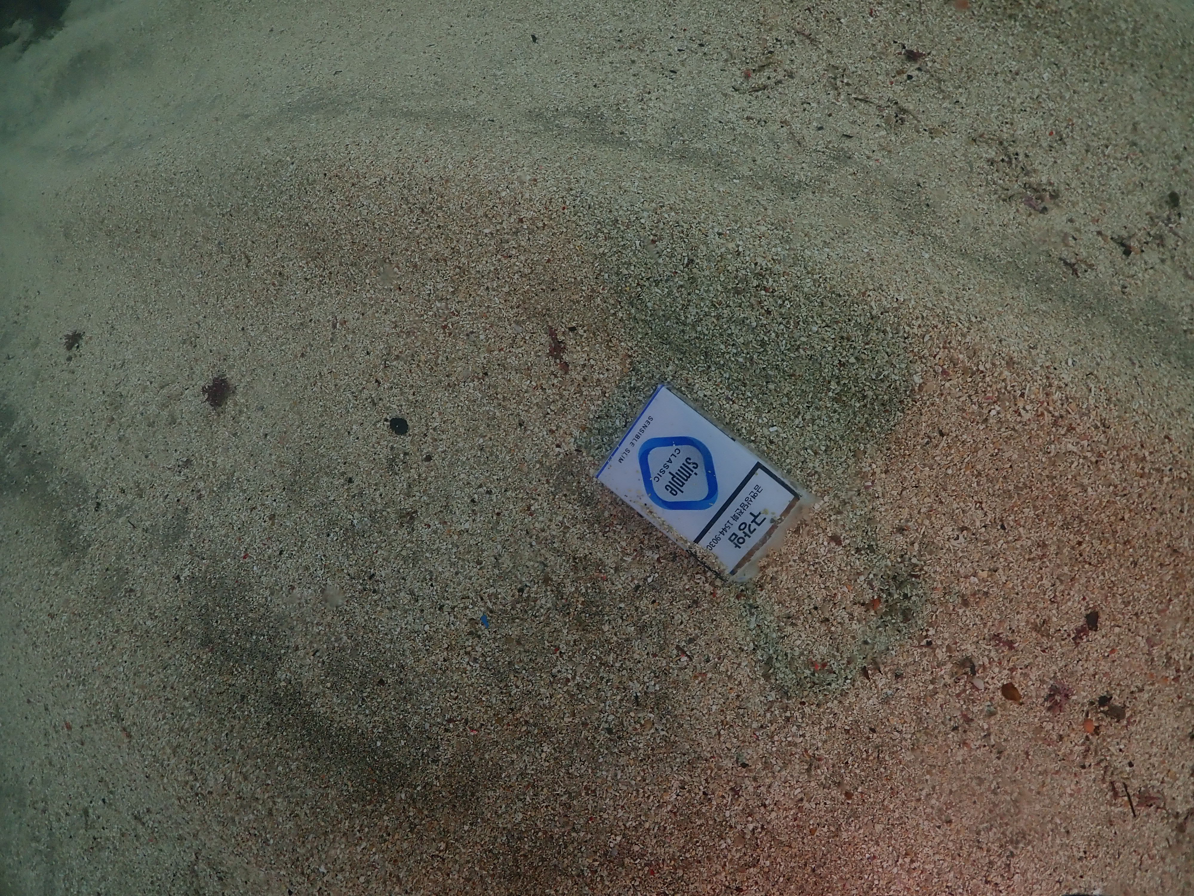
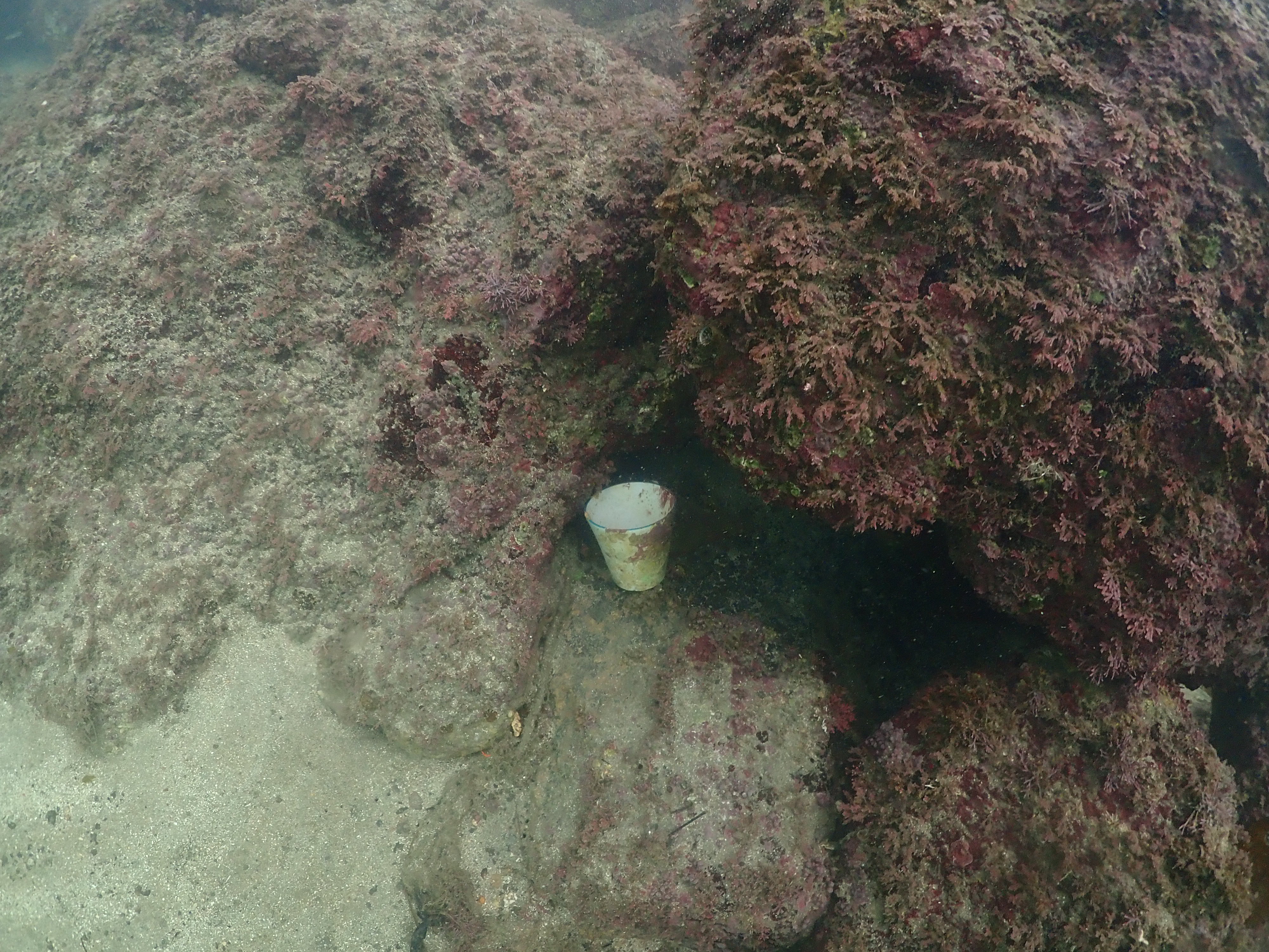
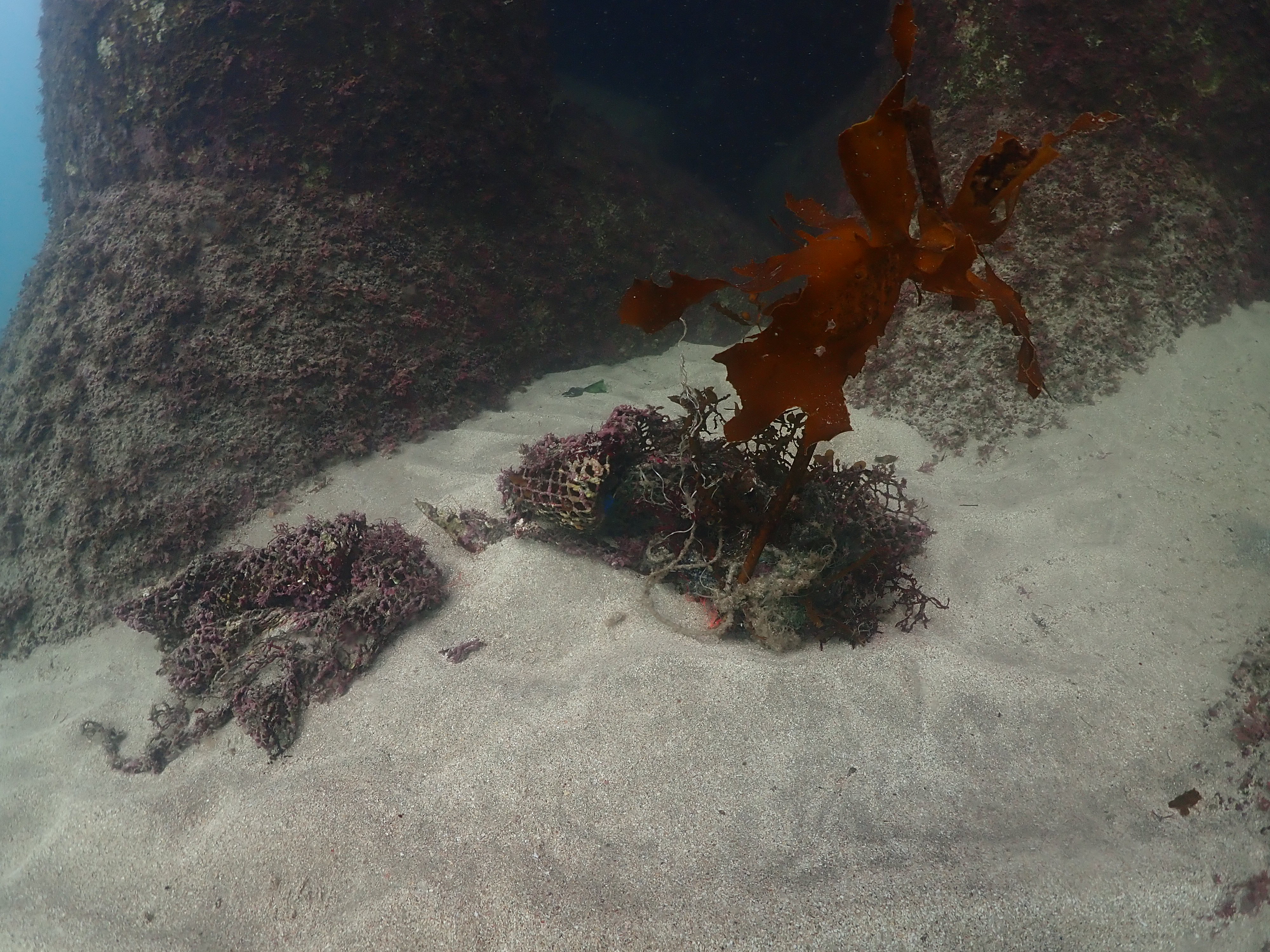
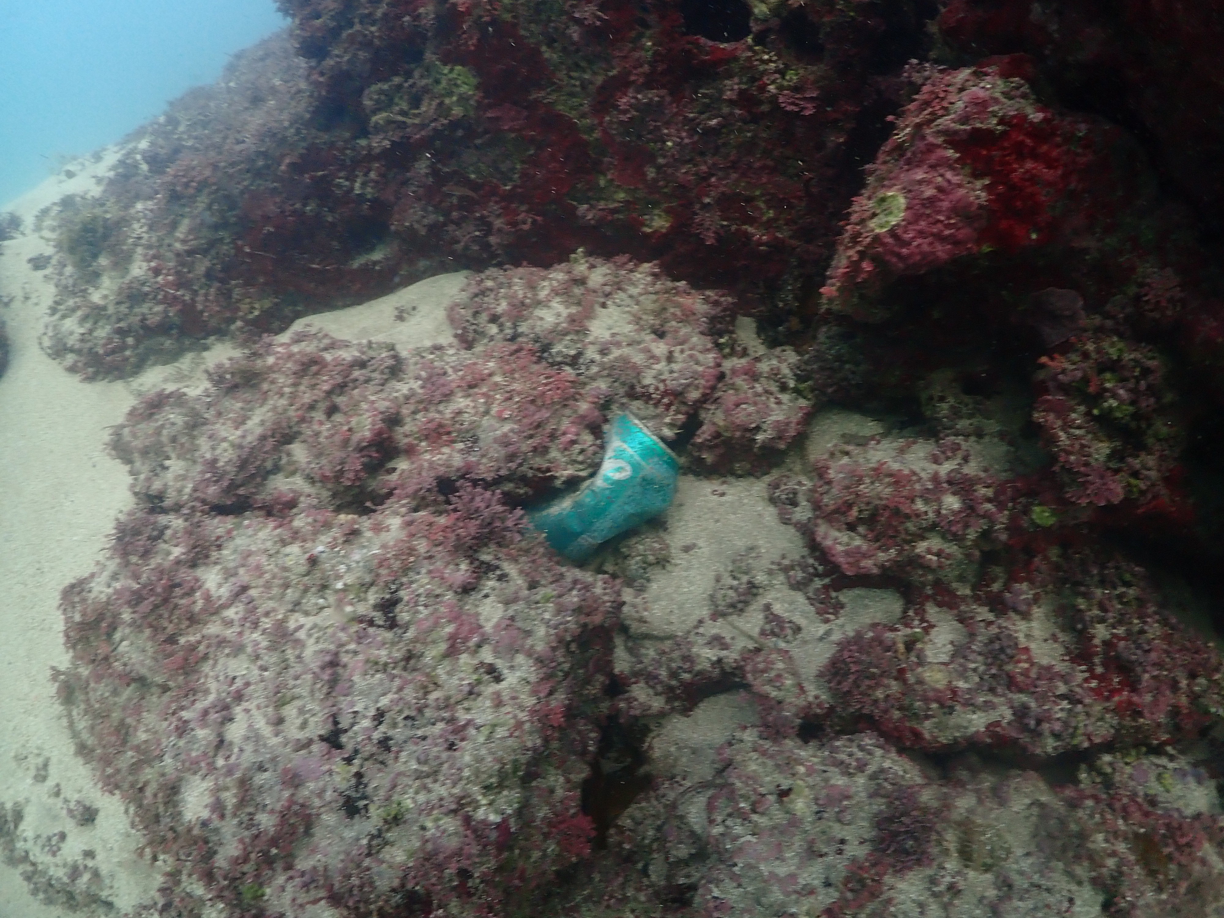
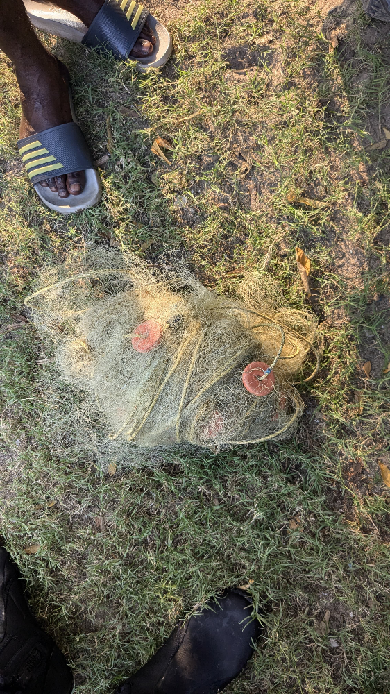
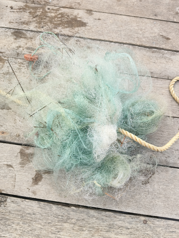
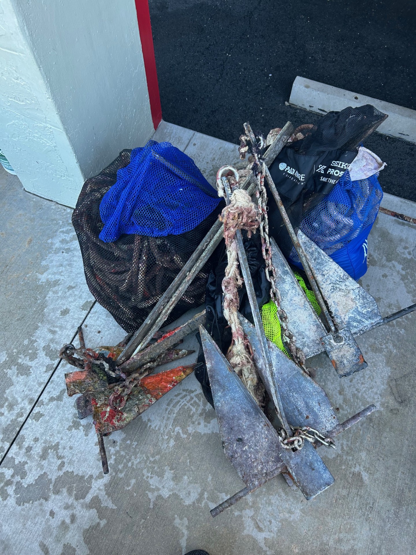
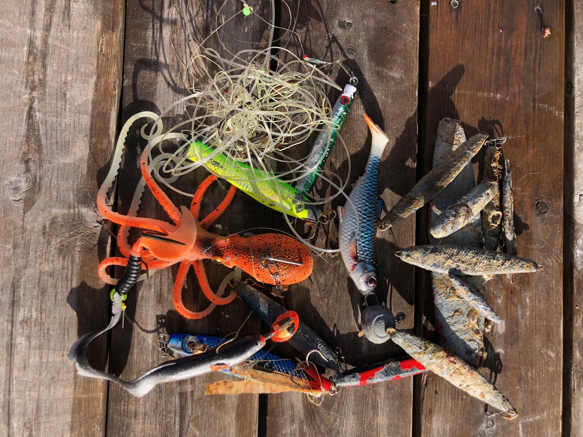
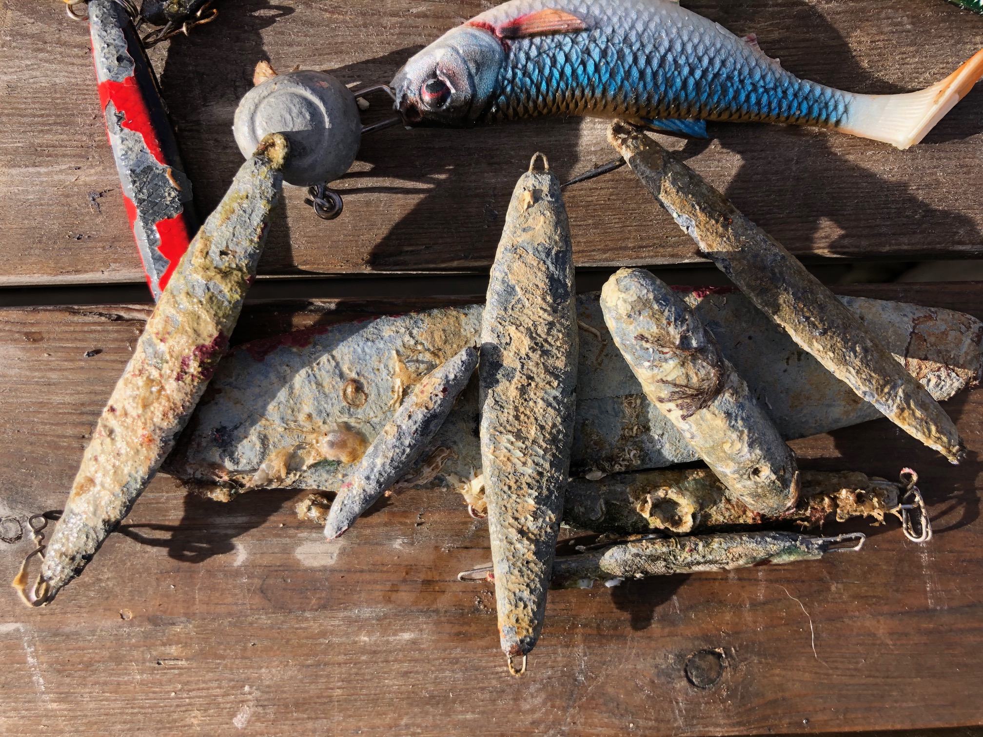
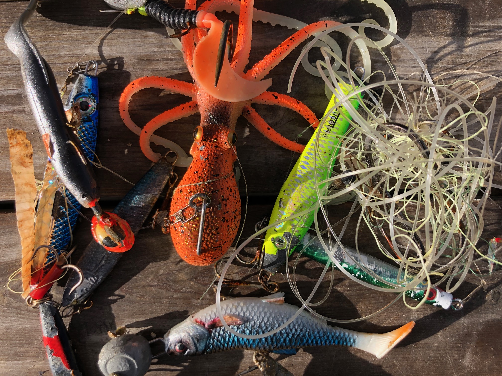
A lot of plastic fishing gear this year at this site.
A lot of plastic fishing gear this year at this site.
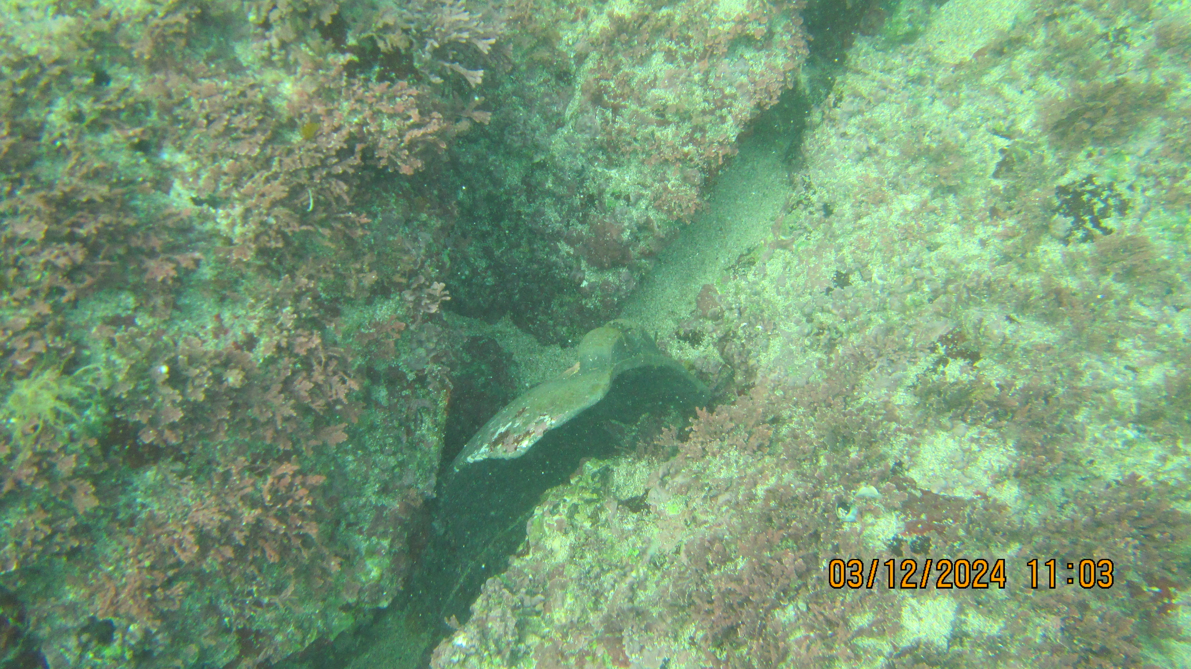
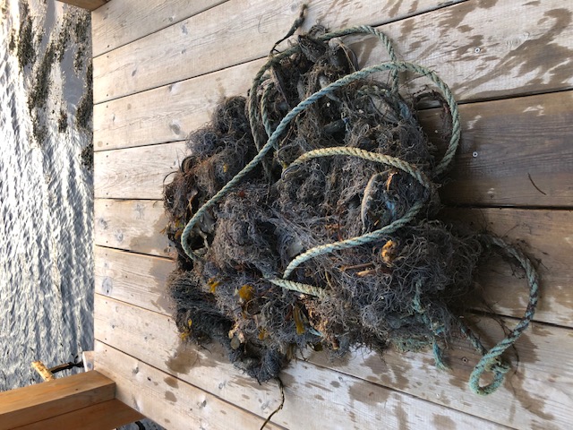
One released injured, maybe survived, one was dead.
1
Dive mask
nn
Fredric Ihrsen
11
28.10
32
28.00
3.00
measured
261
1500.00
On
kilograms
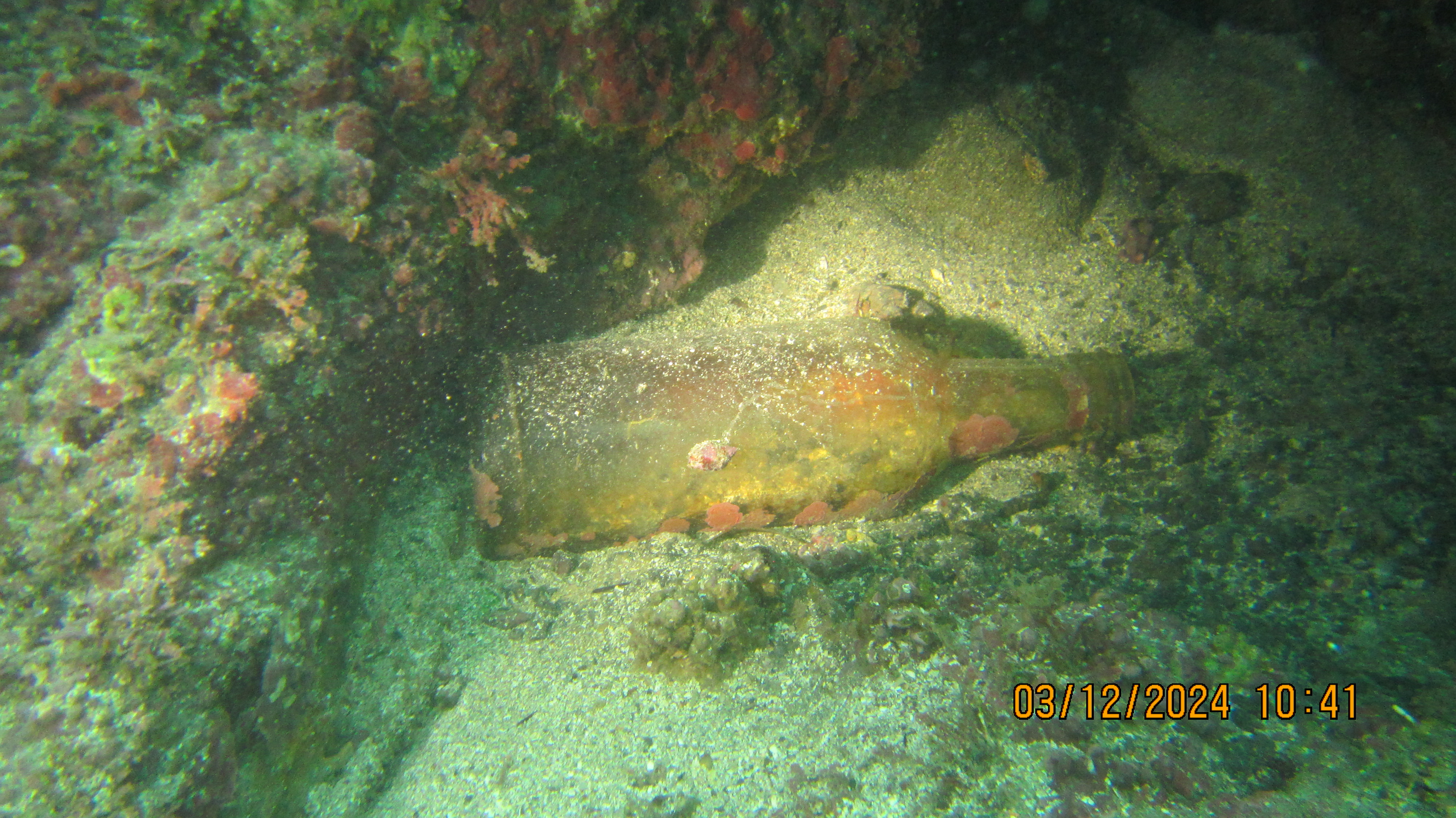
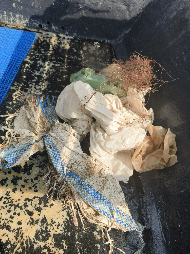
I have debris data to report
Smooth (wavelets) for waves 0.1 - 0.5 meter high
Injured
Pollock, Sathe, Sei
2
Fishing line and hooks
m2
meters
kelp
Map Help
Dive Location
If you know your survey site coordinates, enter them manually in decimal degrees using WGS84 Map Datum. Use the minus sign for latitudes south of the equator and longitudes west of the Prime Meridian to 180 degrees.
If you do not know your survey site coordinates, click the “Map Location” tab to use the map to zoom into your survey site and drop the pin on the map to fall within your survey dive site in the water (not on land or the beach). Ensure you zoom in as much as possible to ensure data accuracy.
Entangled Help