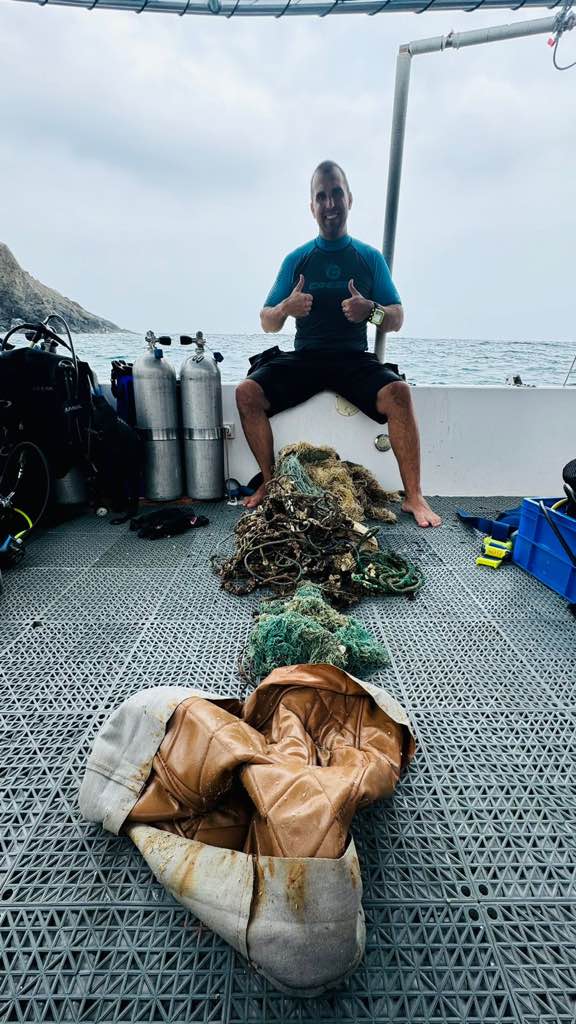
Palong Pinnacle
1
rock
7.6902032156478, 98.76556644199
Kitty Beare, Matteo Ros and Anuar Abdullah
Illegal fishing fishing practices in the marine park.
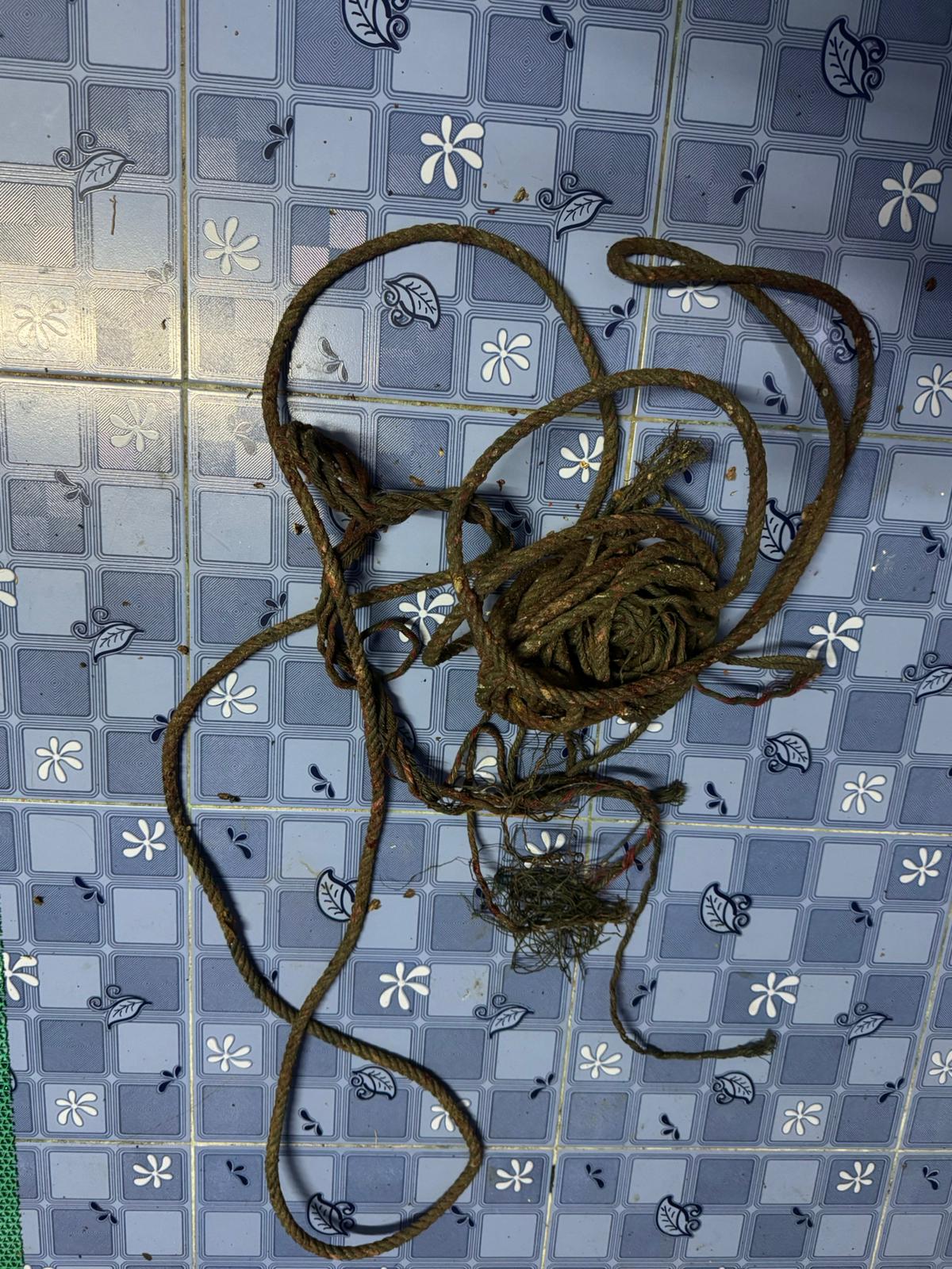
we went to recover a large 10-15kg rope fishing net which had recently been removed by another instructor but left on sand for future removal. However when we went to get it, it had been removed.
There is a report of an other large net covering a pinnacle we did not survey which we plan to get in the coming days.
There seems to be alot of illegal fishing as our team pickup nets and partial nets here regularly
There is a report of an other large net covering a pinnacle we did not survey which we plan to get in the coming days.
There seems to be alot of illegal fishing as our team pickup nets and partial nets here regularly
Strong Easterly wind, sheltered on this dive site.
Blue View Divers
Caroline Lecky
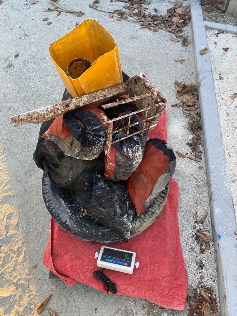
4
2.00
55
18.00
6.00
2
measured
2210.00
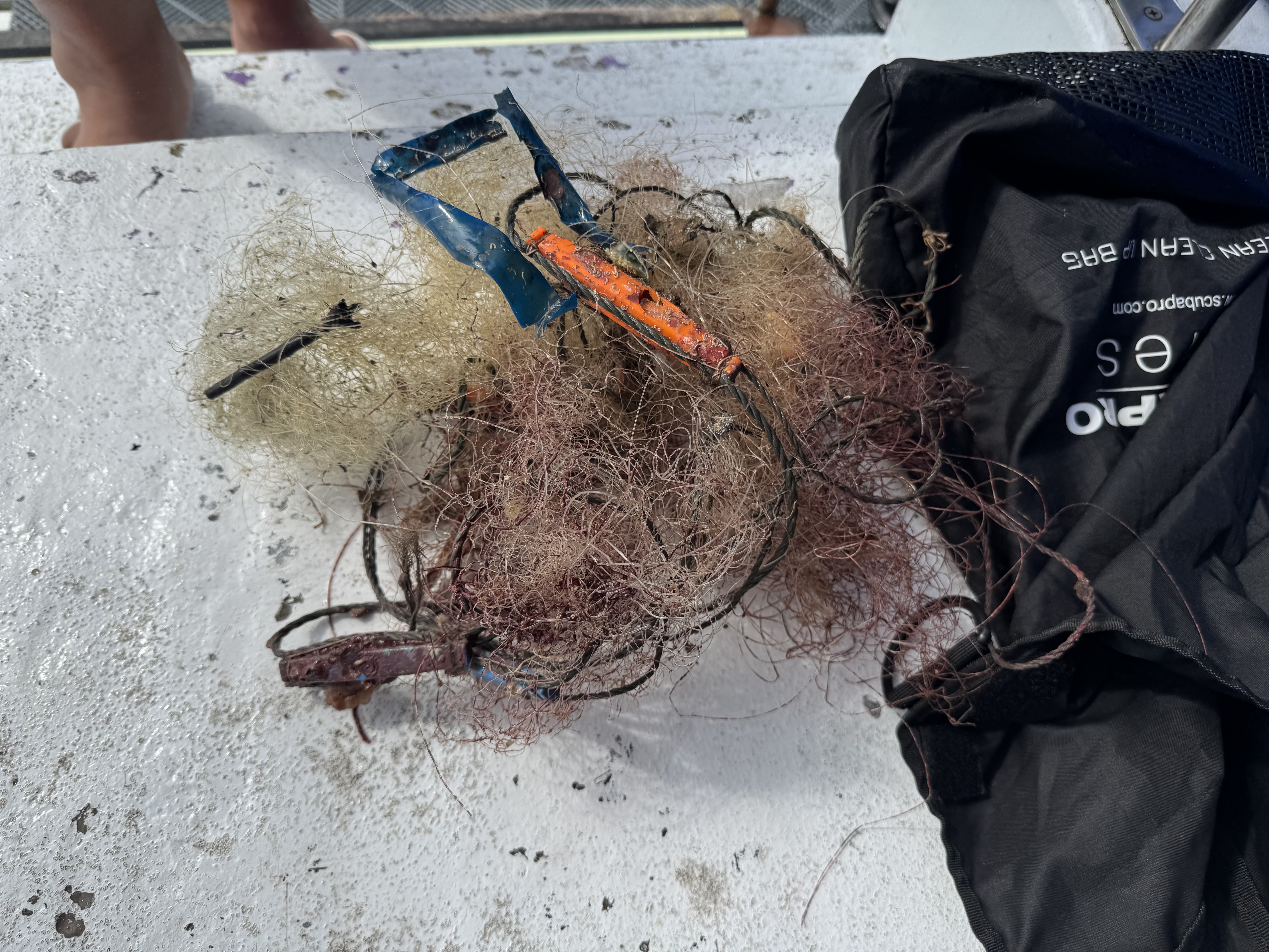
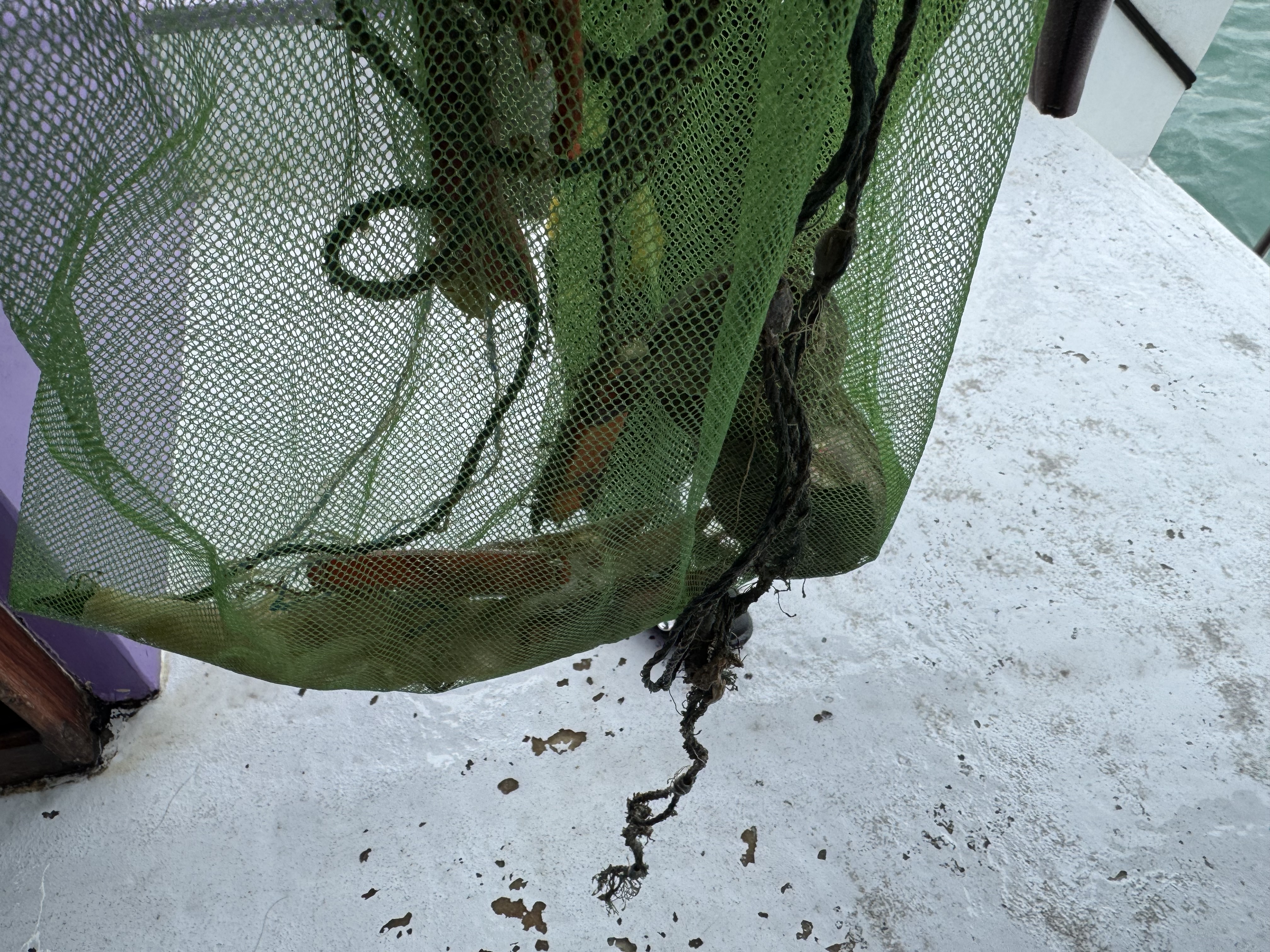
Fishing nets
fishing line
rope
On
kilograms
I have debris data to report
Calm (glassy to rippled) for waves 0 – 0.1 meter high
m2
1
rope and net
Gongornian sea fan
Released Unharmed
meters
rocky reef
State\Province
Krabi
City
Koh Phi Phi
Map Help
Dive Location
If you know your survey site coordinates, enter them manually in decimal degrees using WGS84 Map Datum. Use the minus sign for latitudes south of the equator and longitudes west of the Prime Meridian to 180 degrees.
If you do not know your survey site coordinates, click the “Map Location” tab to use the map to zoom into your survey site and drop the pin on the map to fall within your survey dive site in the water (not on land or the beach). Ensure you zoom in as much as possible to ensure data accuracy.
Entangled Help