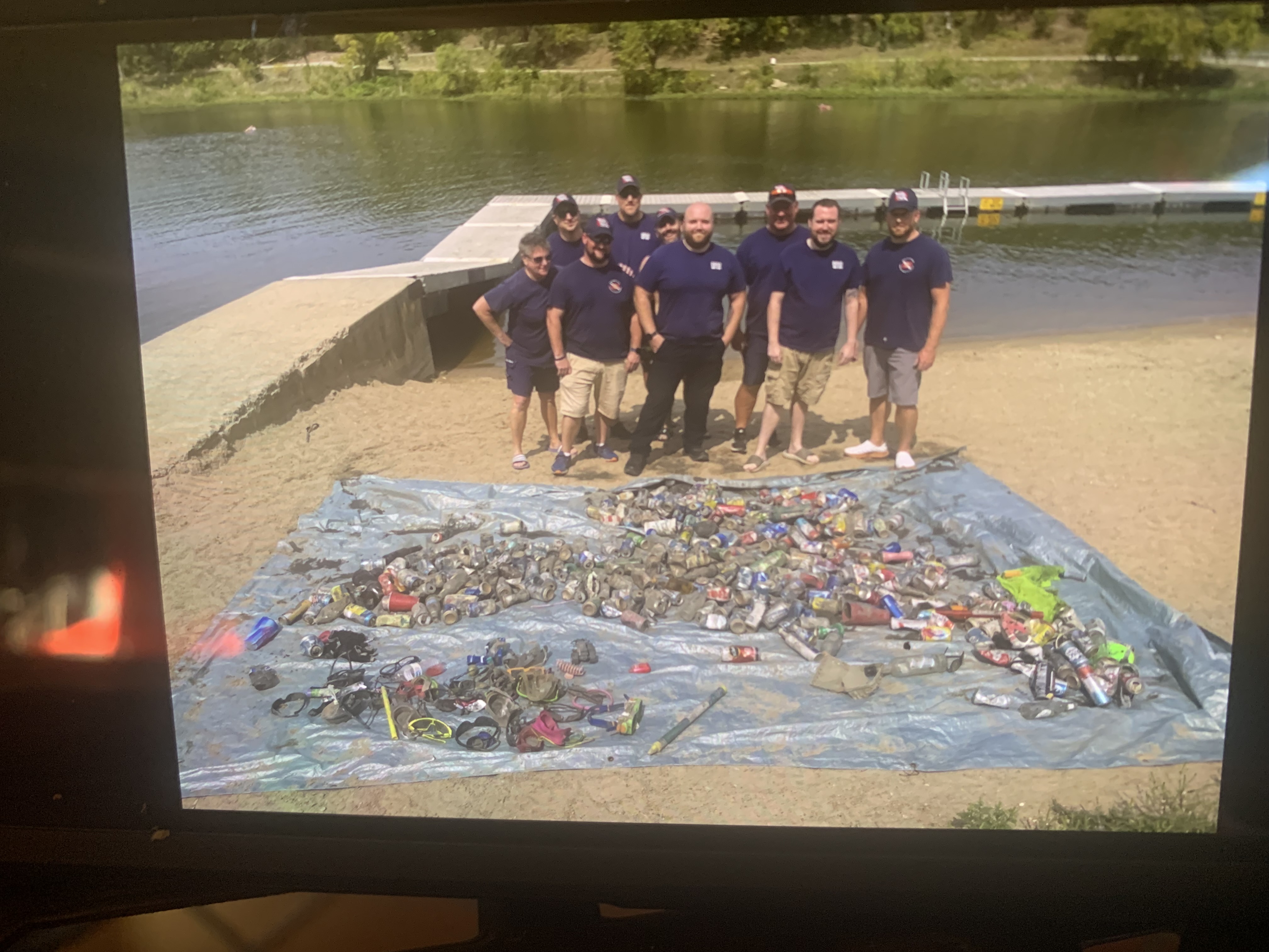
Lone Star Lake Swim Beach
silt
 United States
4
38.838403952003, -95.374546051025
Swimming and summer recreational area.
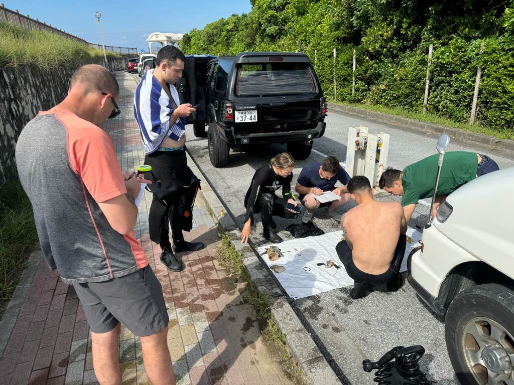
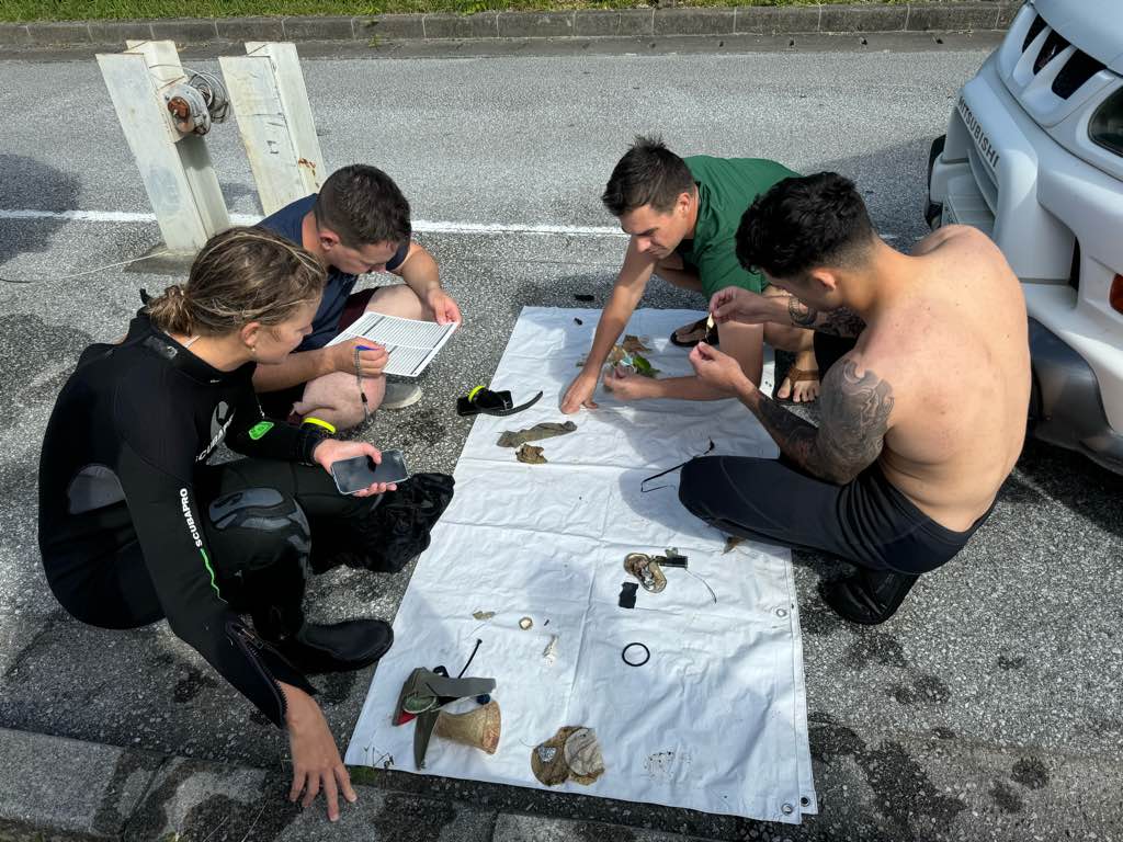
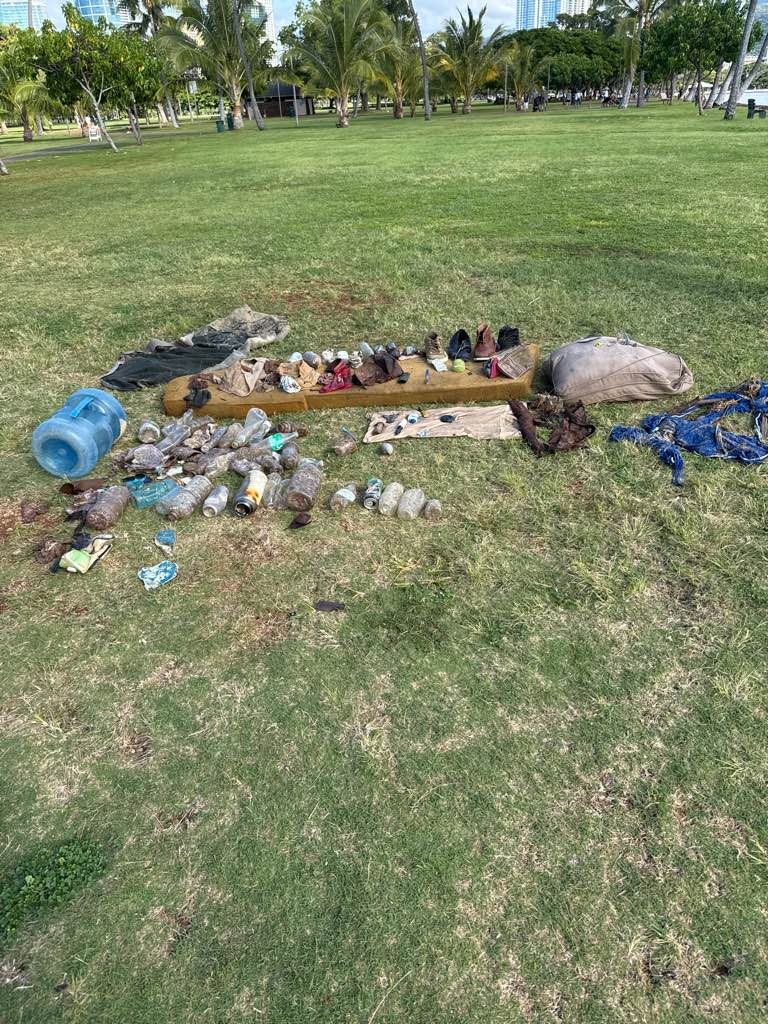
Silicon cup
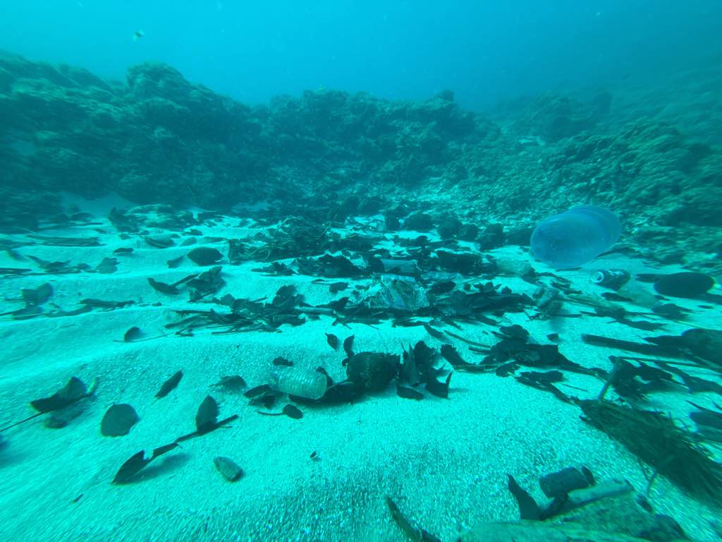
Calm
7
15
5
Dive mask
Sunglasses
Hair clips
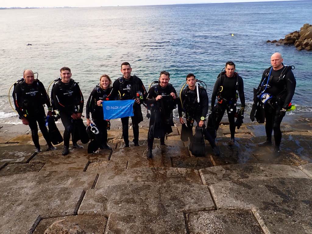
Douglas County Sheriff USAR
Rodney Chamberlain
10
10
100.00
240
25.00
15.00
estimated
4
900.00
Cans
Glass bottles
On
pounds
I have debris data to report
25
Slight for waves 0.5 -1.25 meter high
6
ft2
feet
other
4
200
State\Province
Kansas
City
Lawrence
Map Help
Dive Location
If you know your survey site coordinates, enter them manually in decimal degrees using WGS84 Map Datum. Use the minus sign for latitudes south of the equator and longitudes west of the Prime Meridian to 180 degrees.
If you do not know your survey site coordinates, click the “Map Location” tab to use the map to zoom into your survey site and drop the pin on the map to fall within your survey dive site in the water (not on land or the beach). Ensure you zoom in as much as possible to ensure data accuracy.
Entangled Help
Use the vertical tabs below to record any entangled animals you found of each type.
Ecosystem Other
Mud and rock