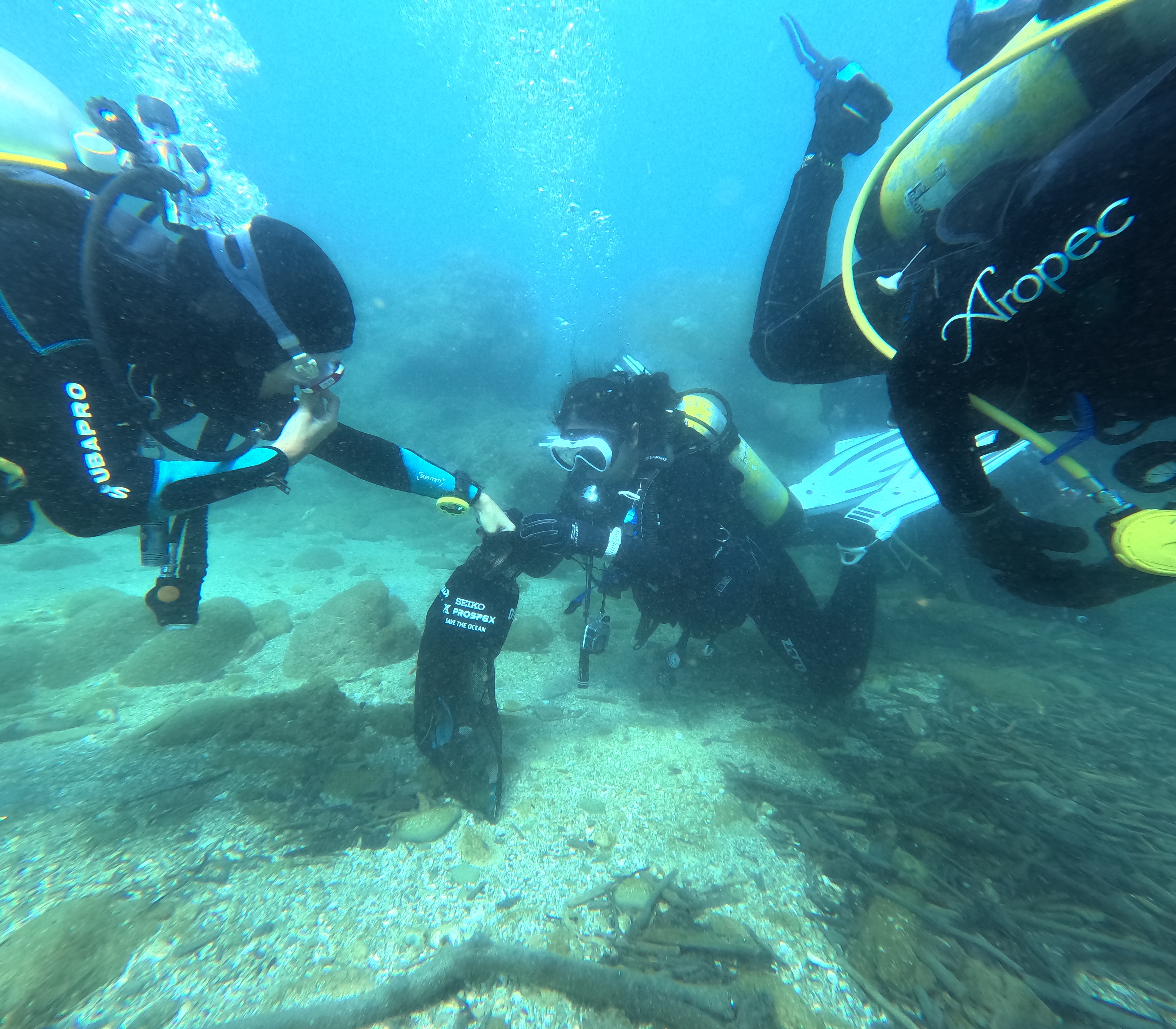
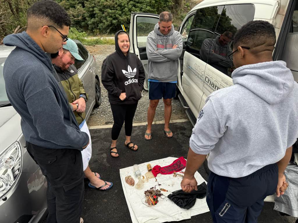
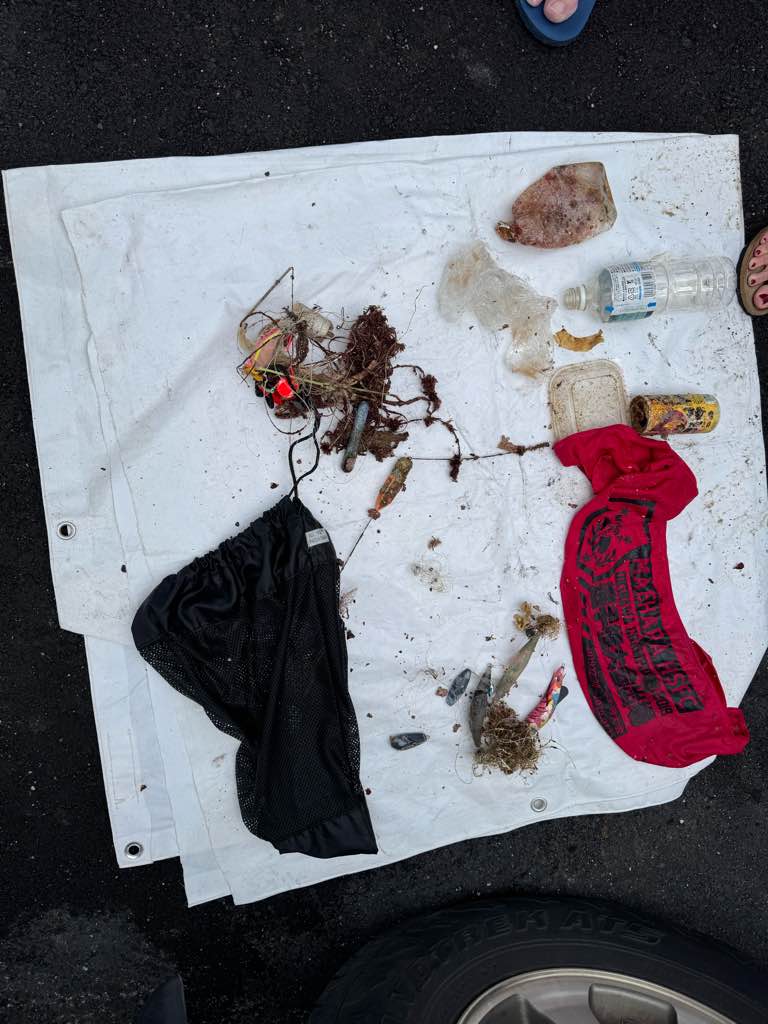
Grand Anse
230
100
12
0
12.027914, -61.757592
0
0
0
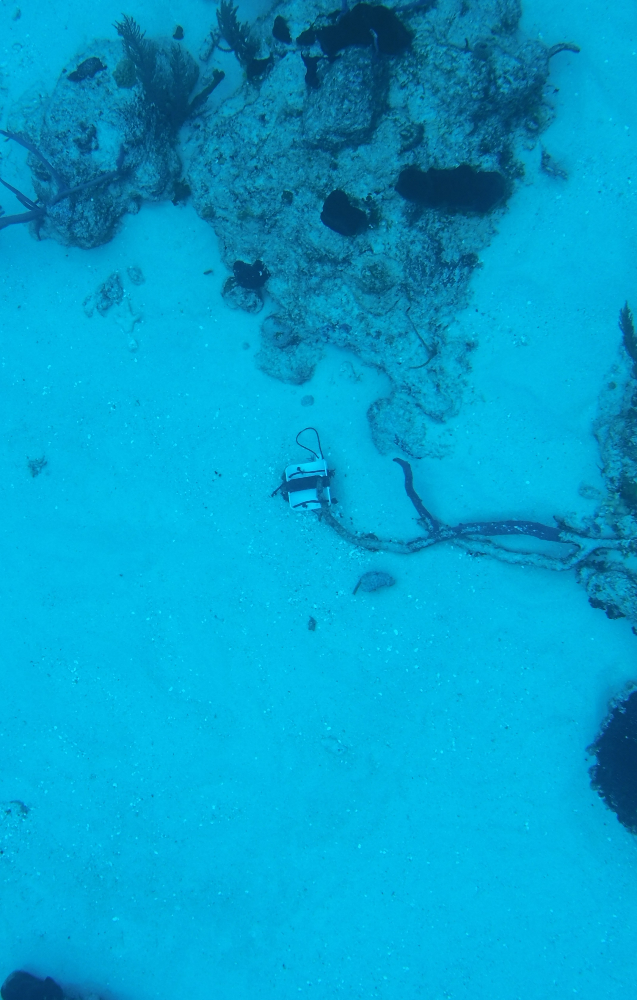
sand
0
0
0
12
0
Heavy Rain
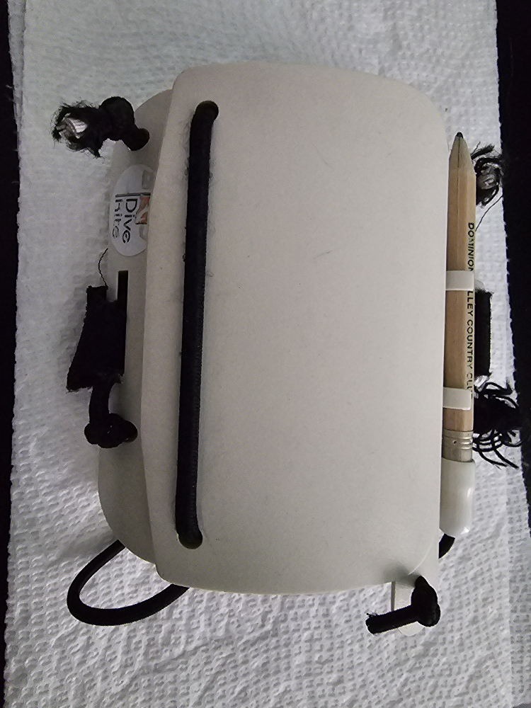
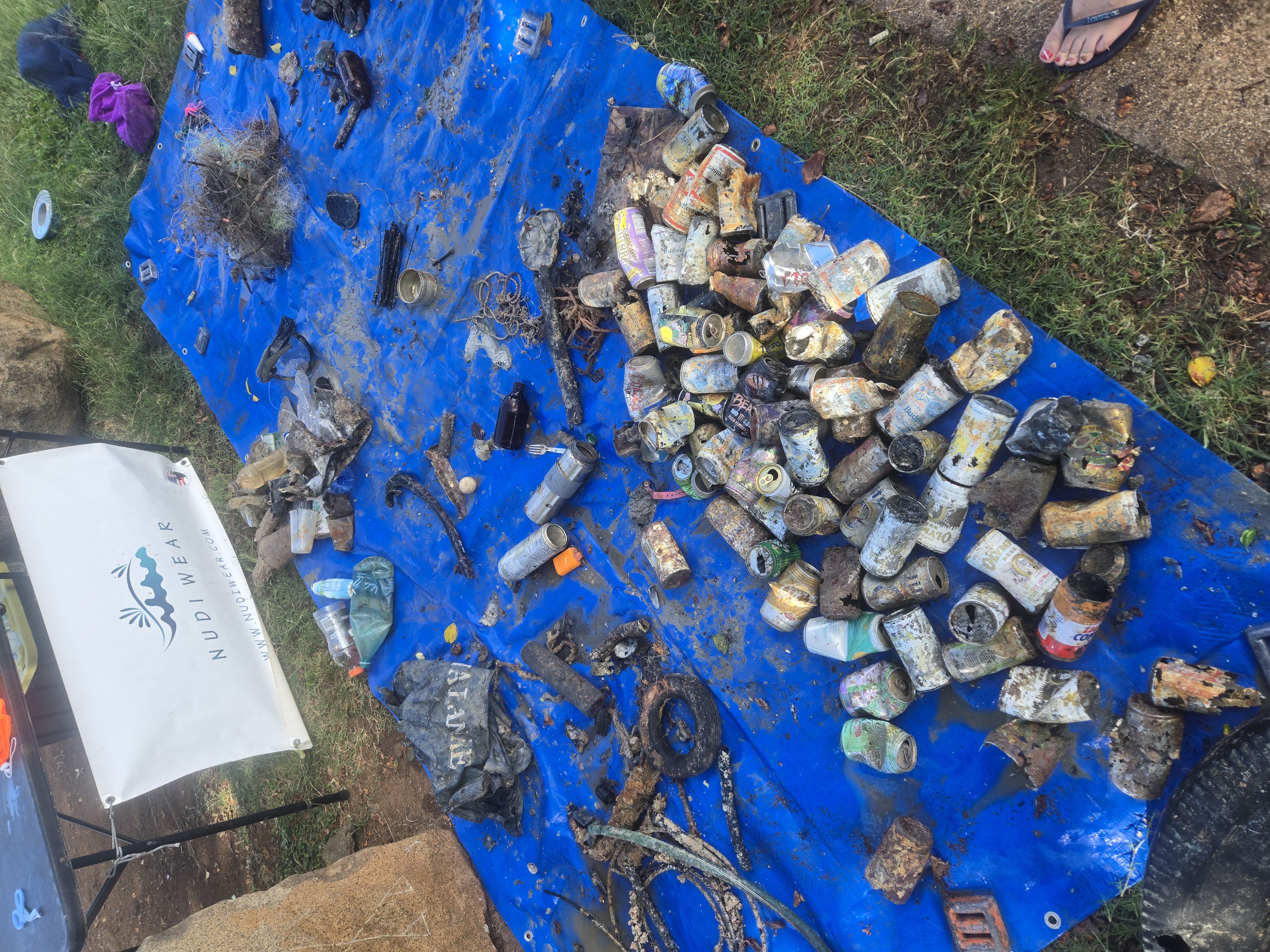
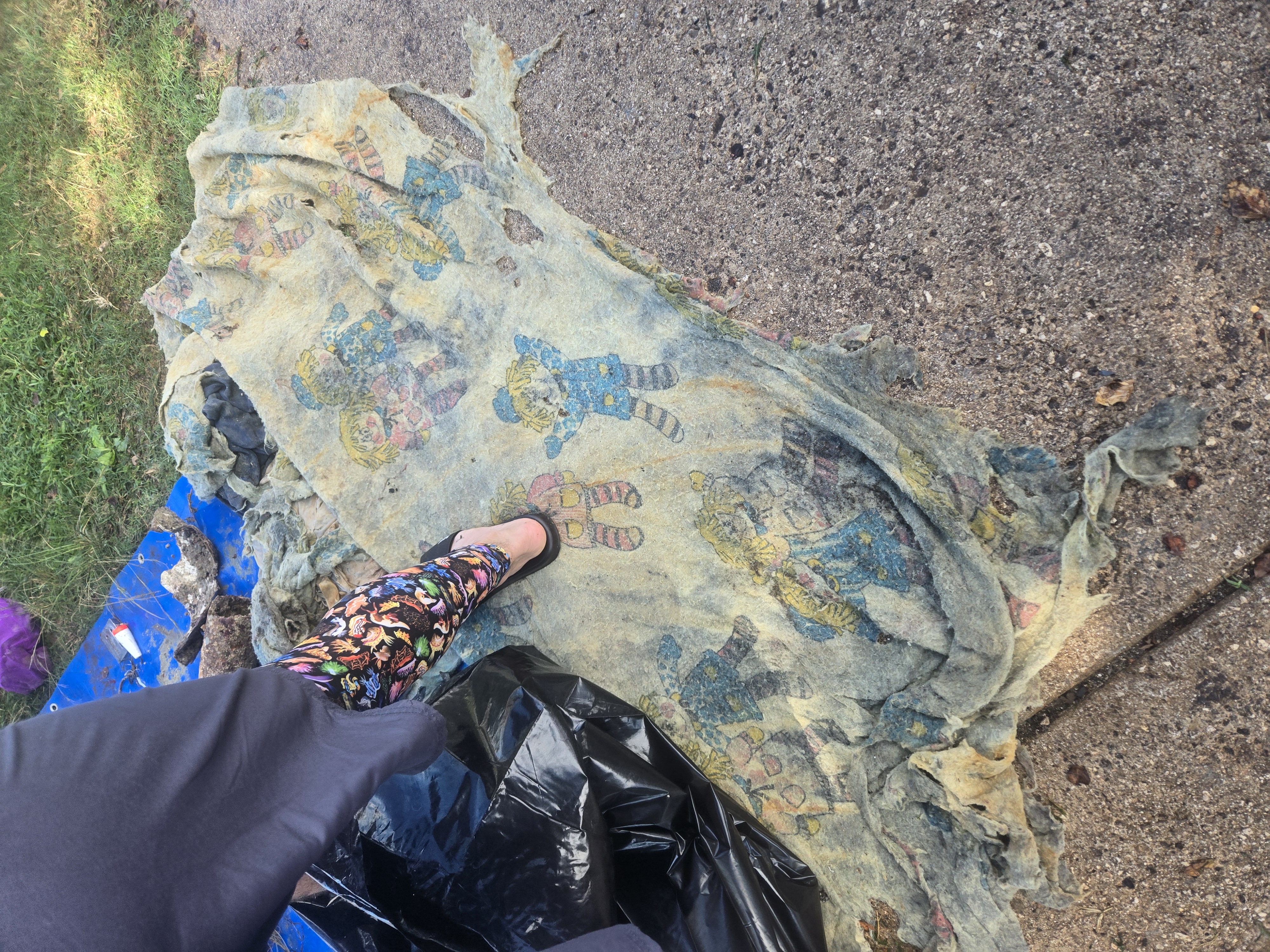
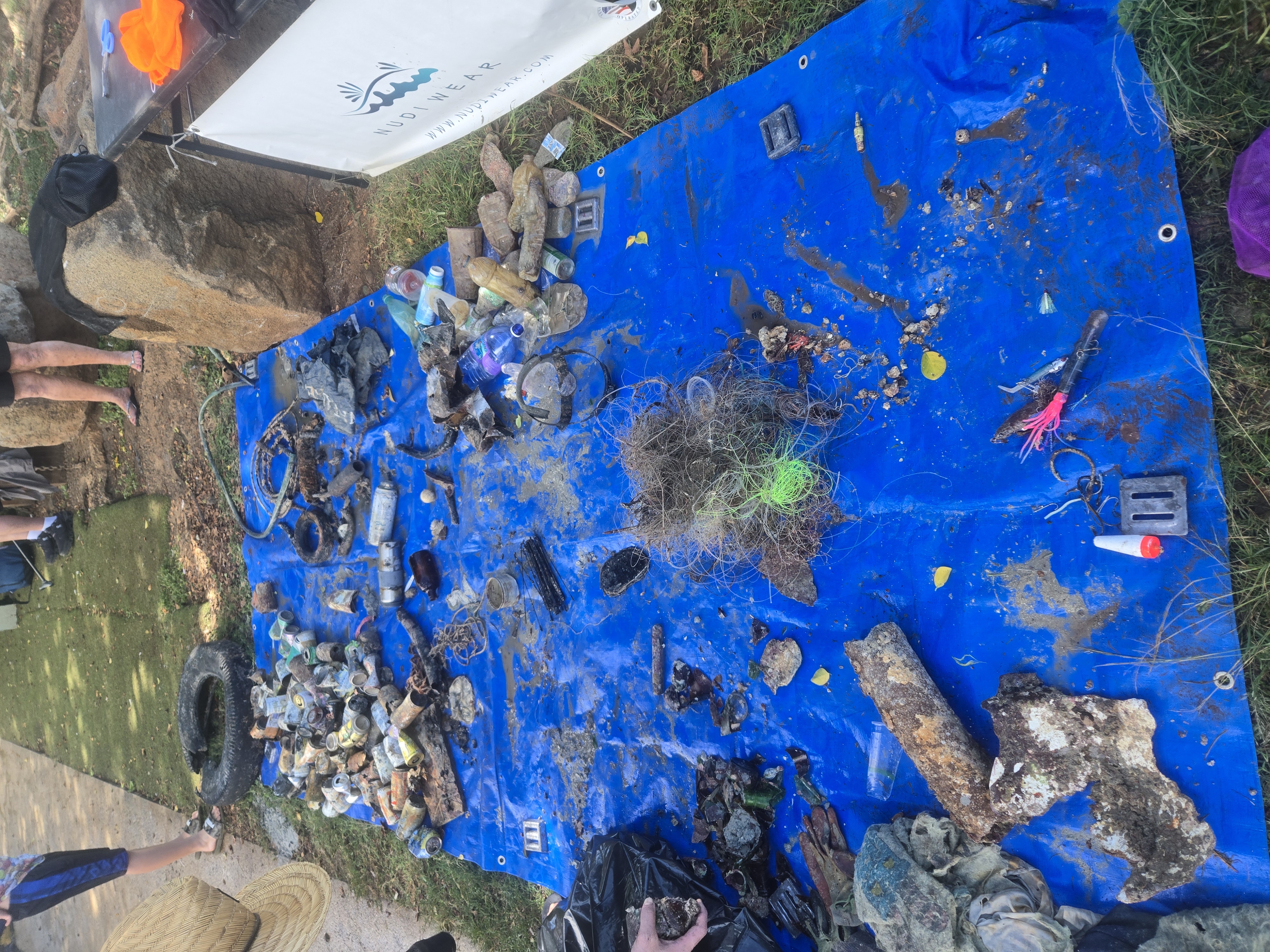
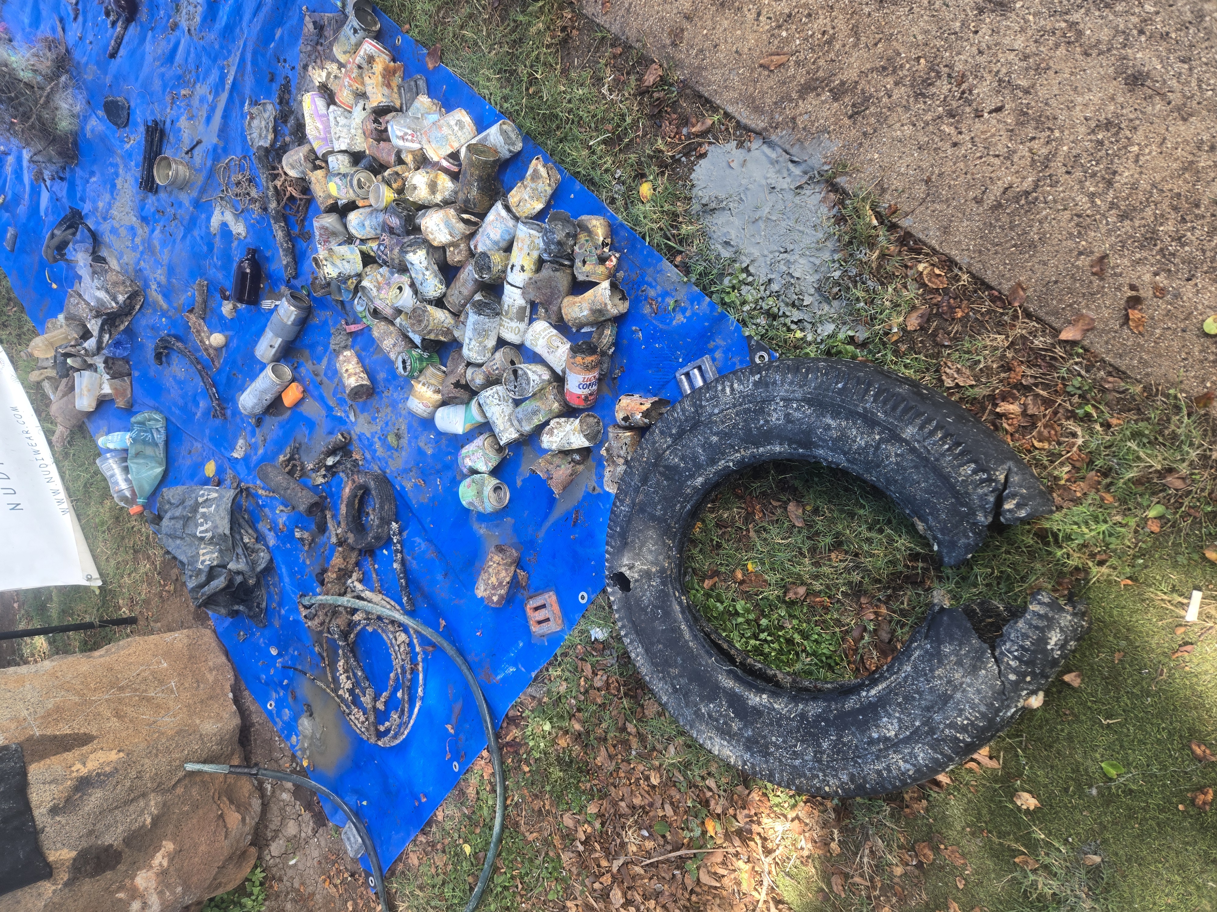
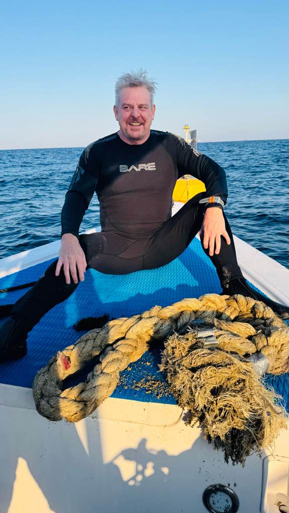
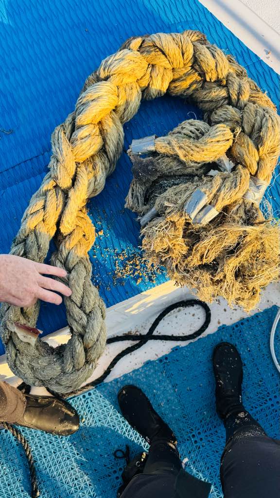
Caset Tape
2
2
1
1
1
1
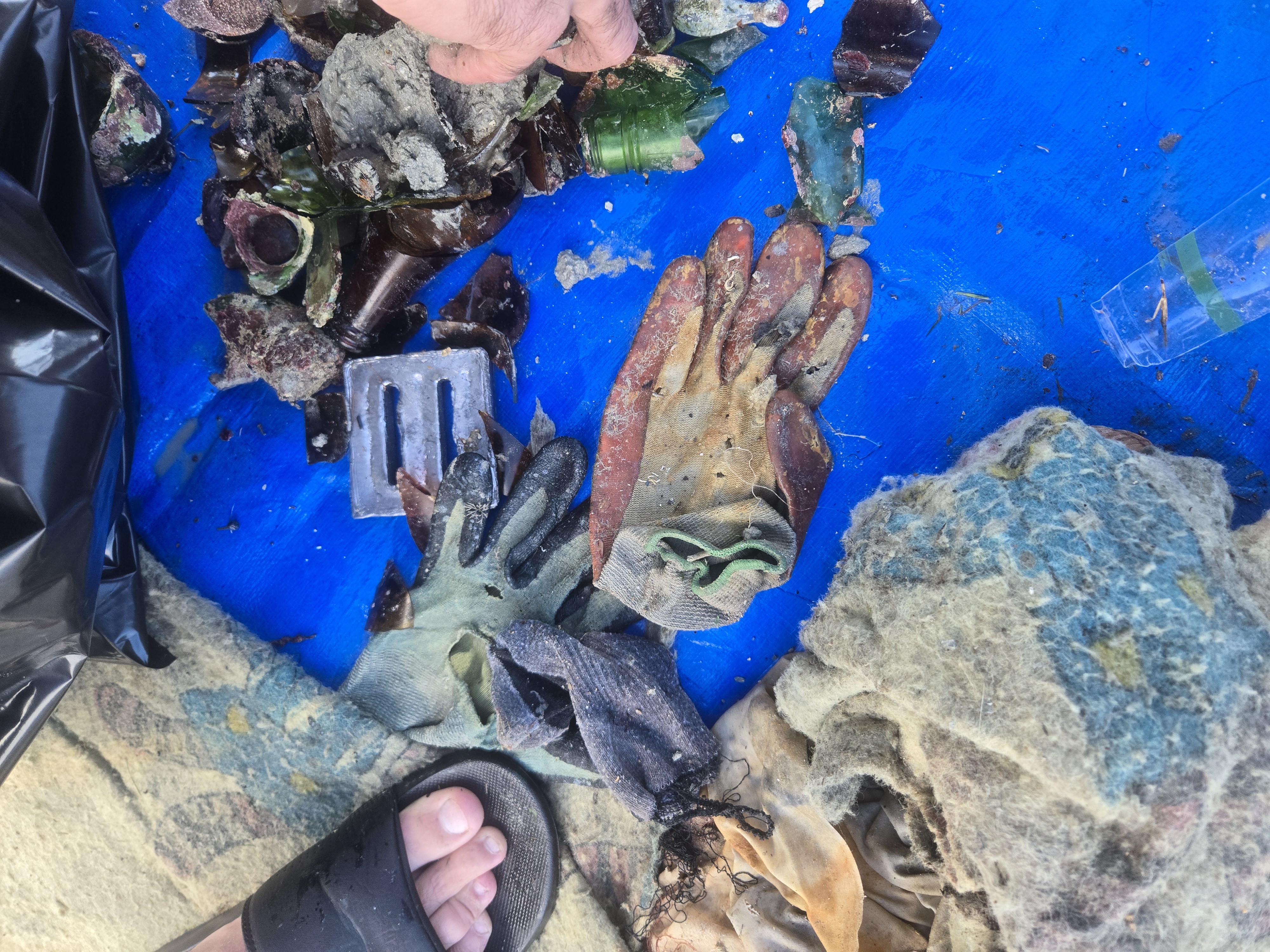
Glasses
Carnival masks
Caset tape
Soap bar
Bean bag
Broom head
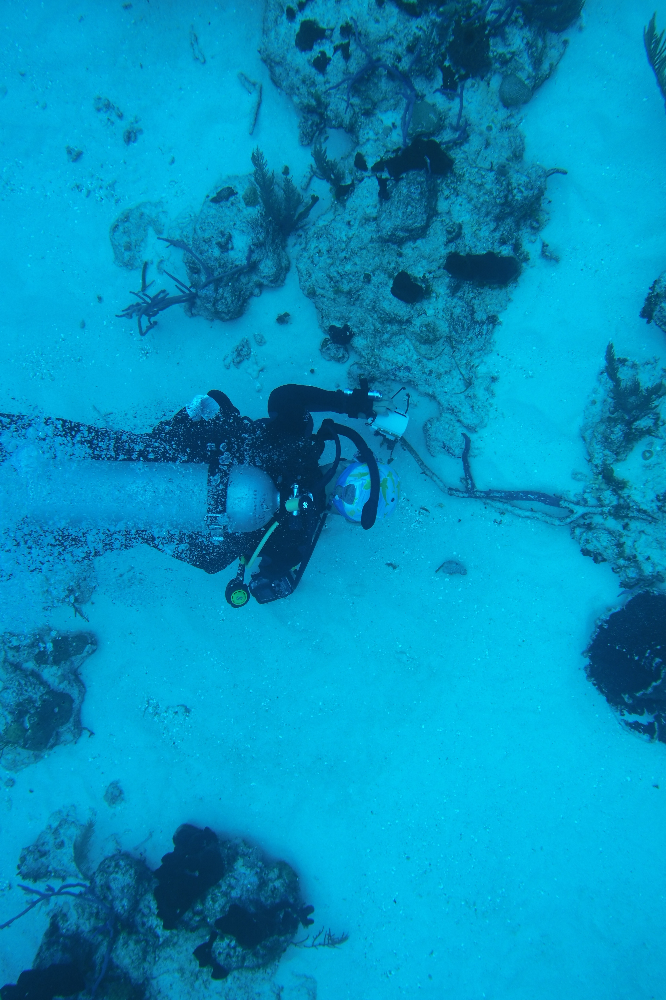
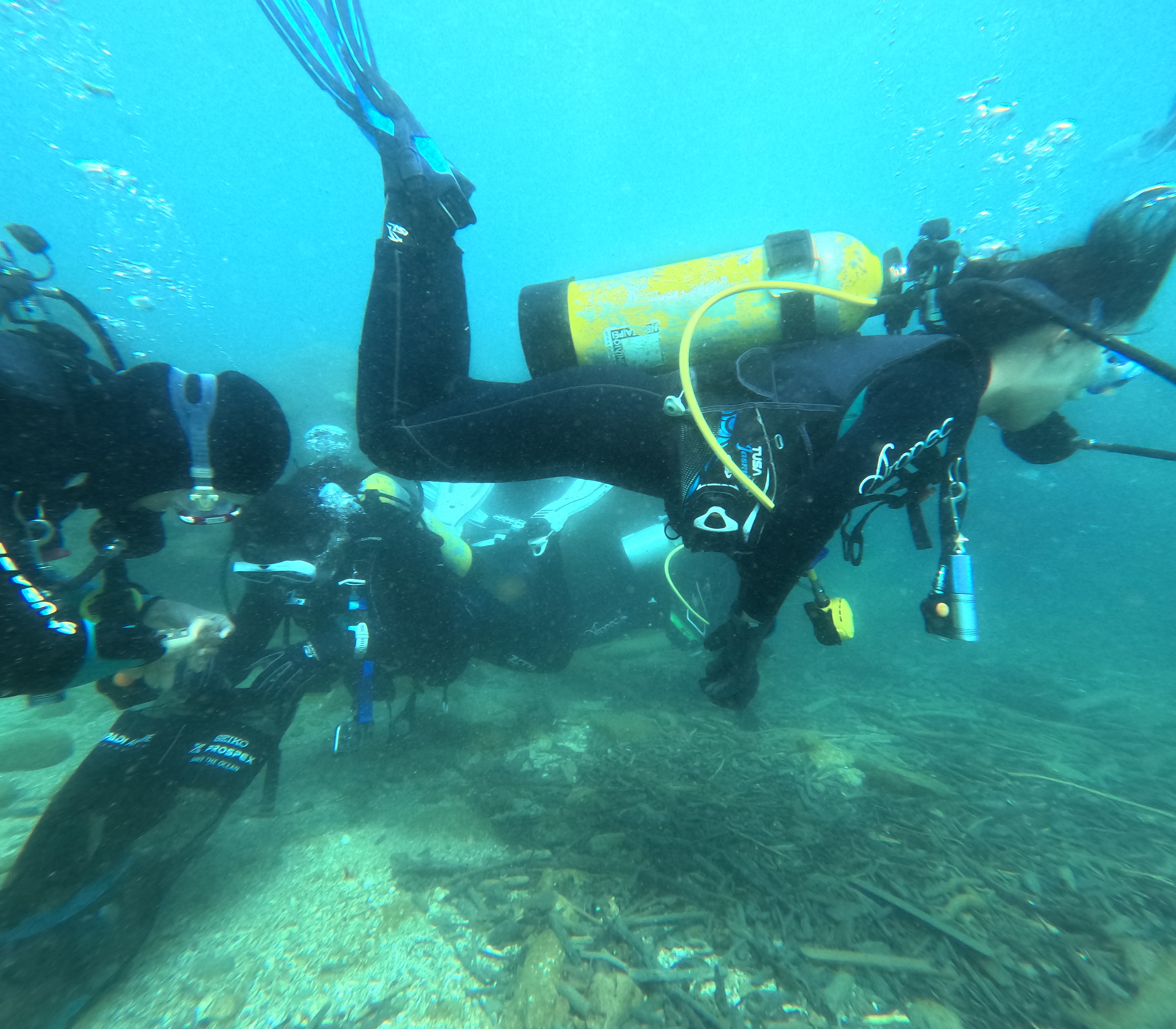
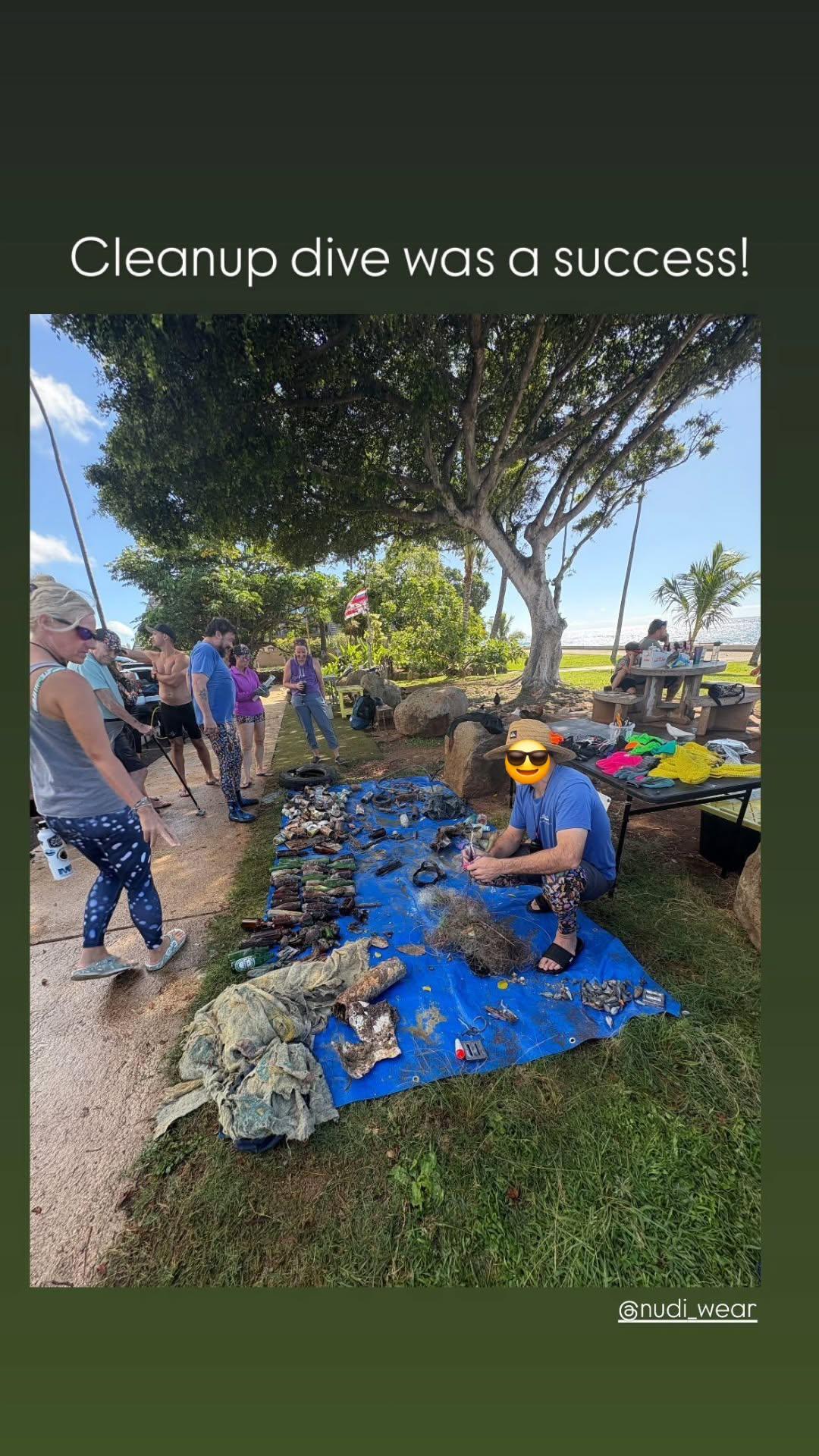
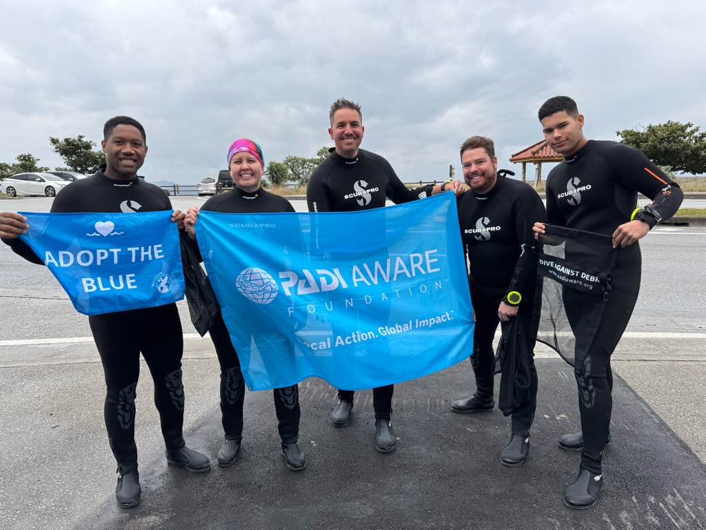
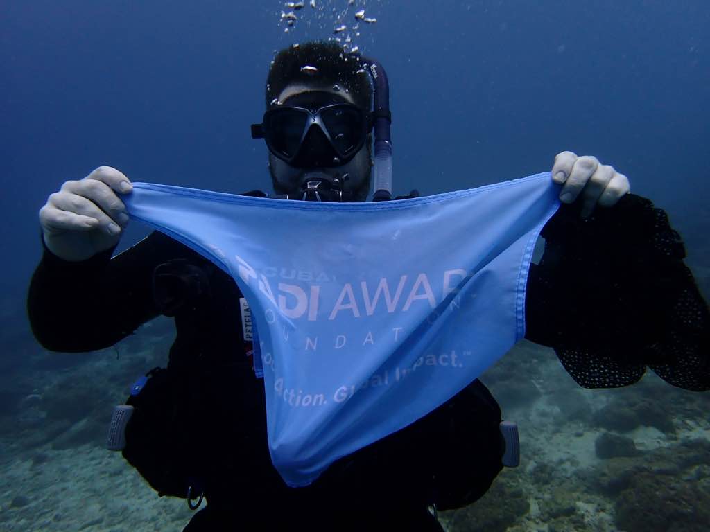
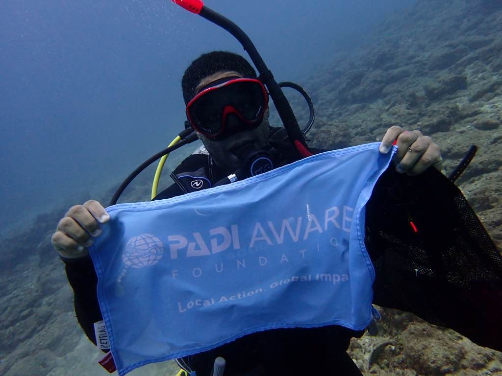
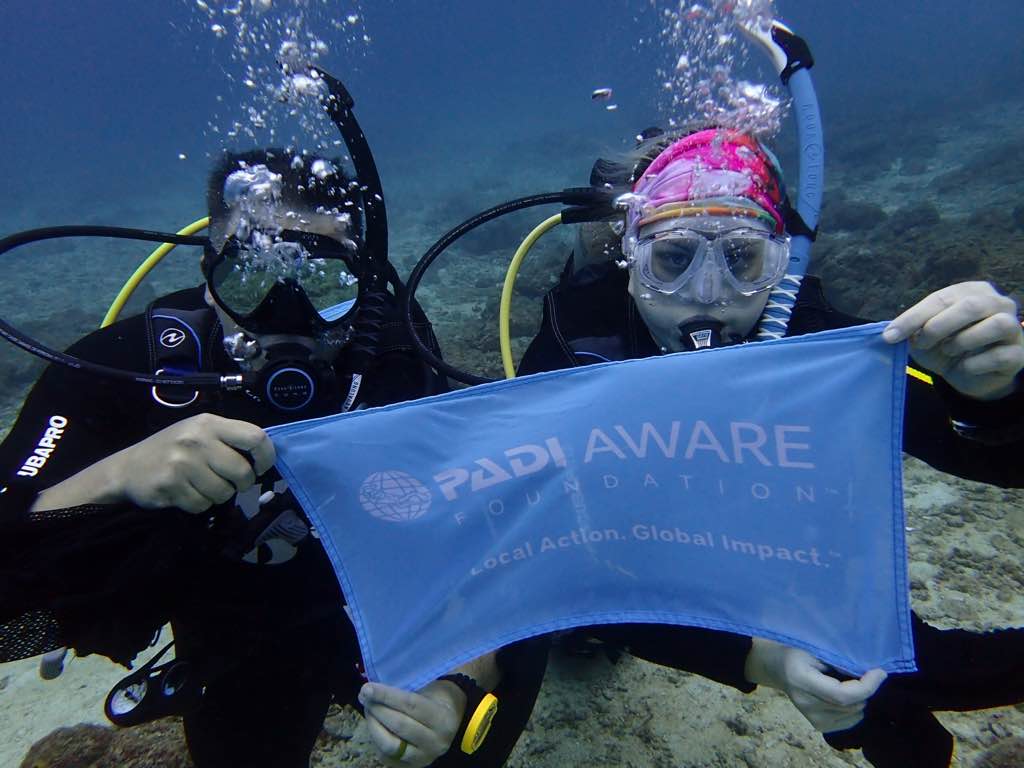
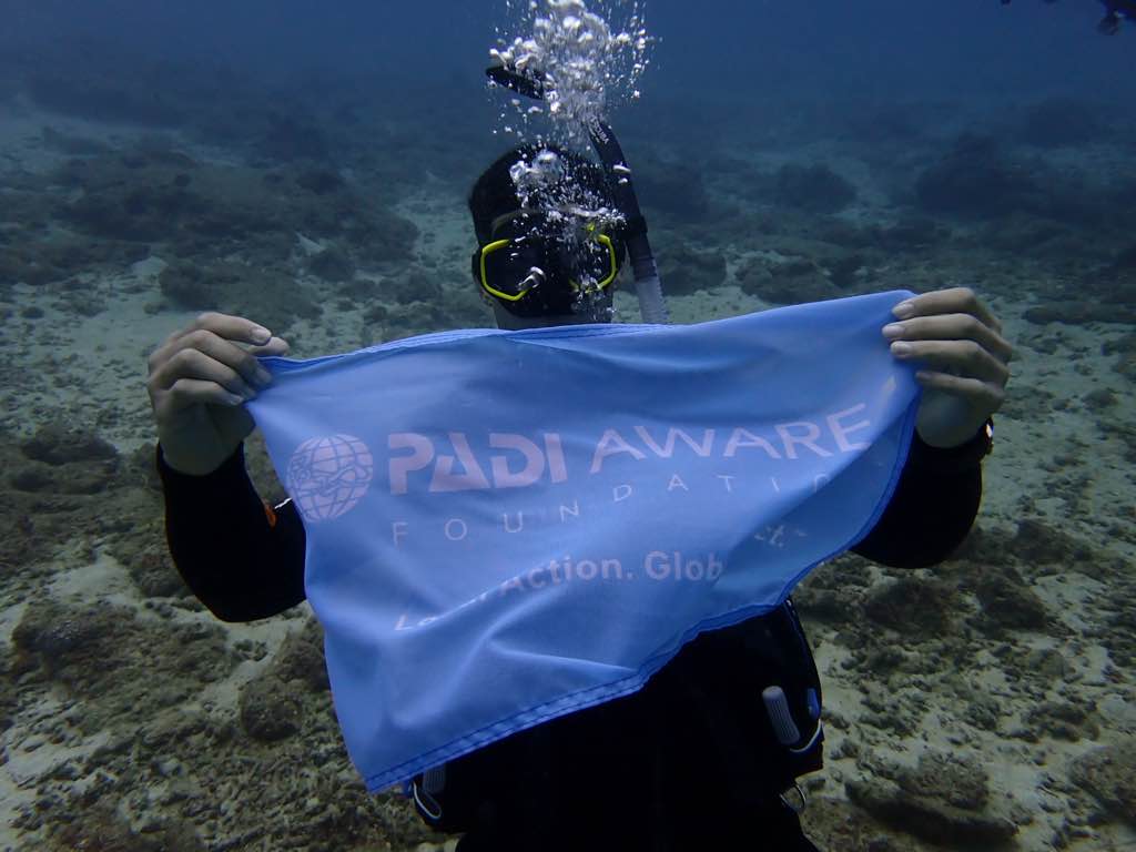
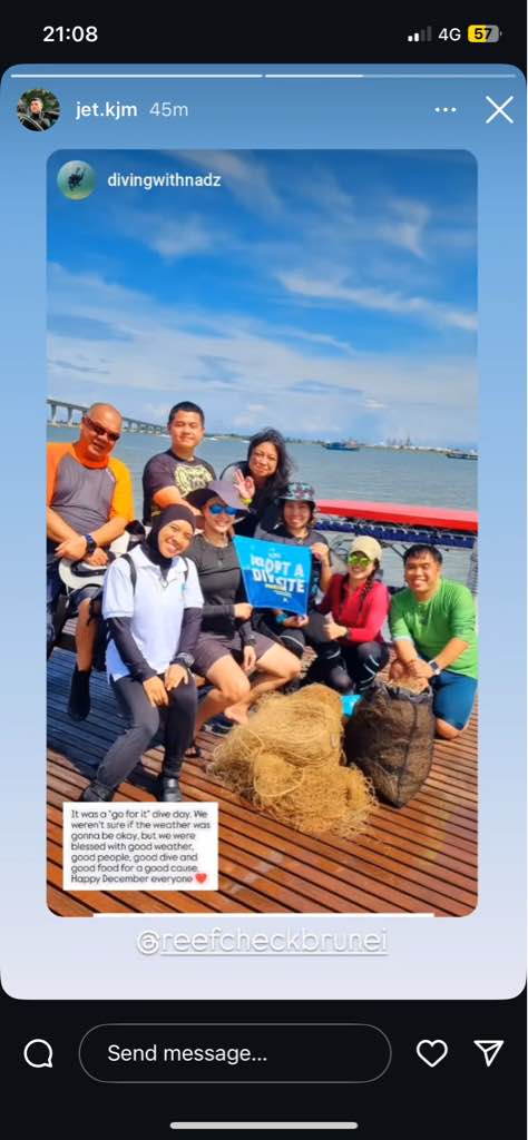
Eco Dive
Ashley
0
0
0
1
0
0
0
0
1
0
0
0
0
0
0
0
0
0
0
8
0
0
5
0
2
0
21
0
0
1
0
0
0
0
0
0
30.00
60
10.00
1.00
0
estimated
0
0
0
0
2222.84
0
0
0
0
0
Plastic fragments
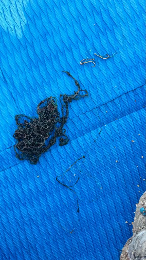
Fishing line
Food wrappers
0
On
pounds
0
I have debris data to report
2
0
0
Calm (glassy to rippled) for waves 0 – 0.1 meter high
0
0
0
0
20
0
0
m2
4
0
feet
seagrass
0
0
0
0
0
0
0
0
0
0
0
0
0
0
0
0
2
14
0
0
0
0
0
0
0
0
0
0
0
Map Help
Dive Location
If you know your survey site coordinates, enter them manually in decimal degrees using WGS84 Map Datum. Use the minus sign for latitudes south of the equator and longitudes west of the Prime Meridian to 180 degrees.
If you do not know your survey site coordinates, click the “Map Location” tab to use the map to zoom into your survey site and drop the pin on the map to fall within your survey dive site in the water (not on land or the beach). Ensure you zoom in as much as possible to ensure data accuracy.
Entangled Help