Hón Mòng Tay (Stone Lighthouse)
5
2
9.908028132970157, 104.02118539823277
1
coral
10
1
9
Uncontrolled fishing; tourist and locals littering. the strong current bring all the floating garbage directly into the bay of the island.
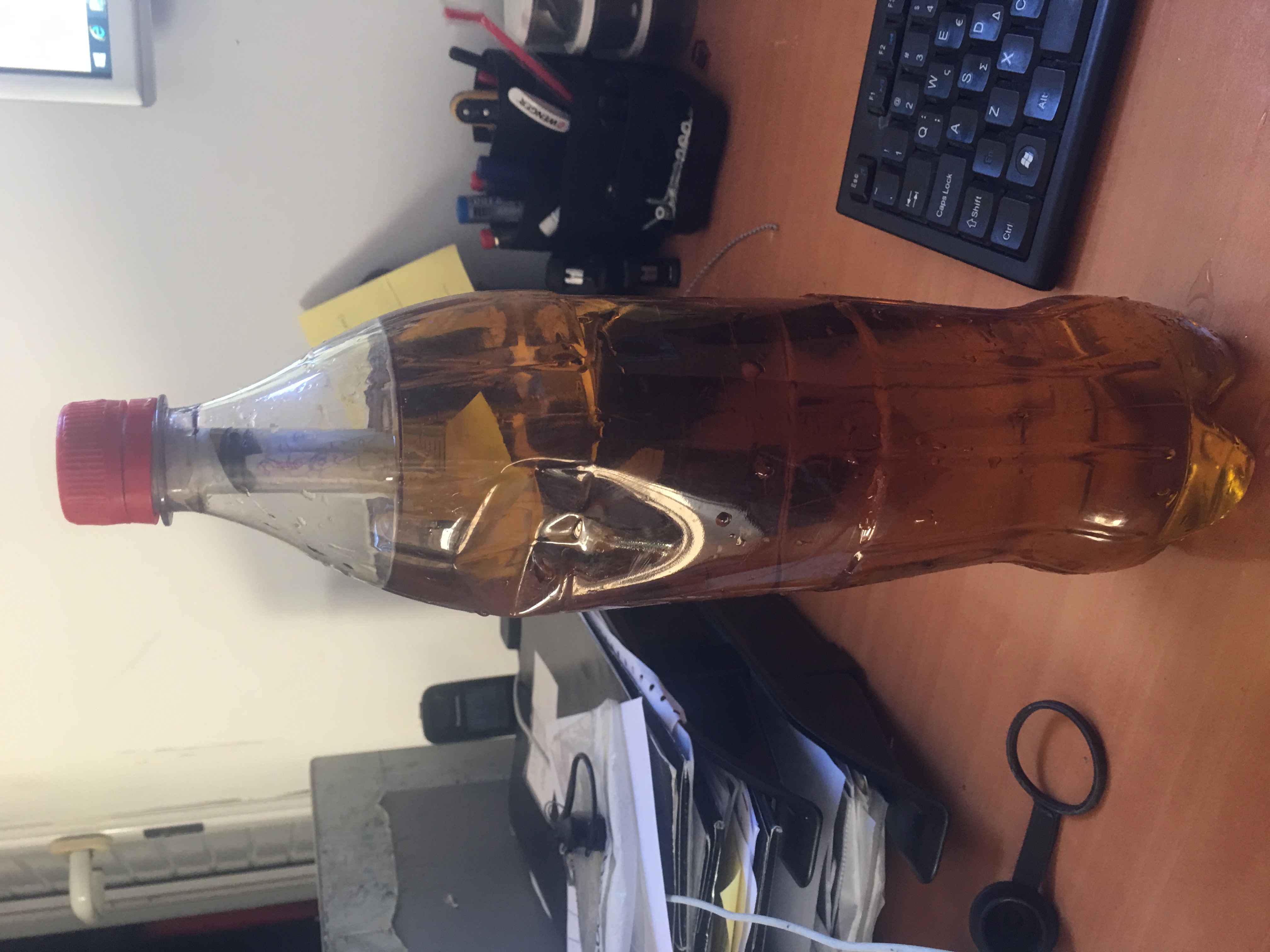
An oil filter of a boat, completley full, and leaking, of exhaust oil.
many corals, sponges, anemone and more completly entangled in fishing nets. impossible to release them without damaging marine life.
Moderate wind, Strong current, Moderate rain
1
Boat oil filter, filled with exhaust oil
Rainbow Divers, Phu Quoc
Daniele Monti
3
1
13
4
31
28.00
50
15.00
5.00
measured
40.00
2
1
Fishing Nets entangle all kind of marine life
Plastig Bags, easly mistakeble for jellyfish by predators
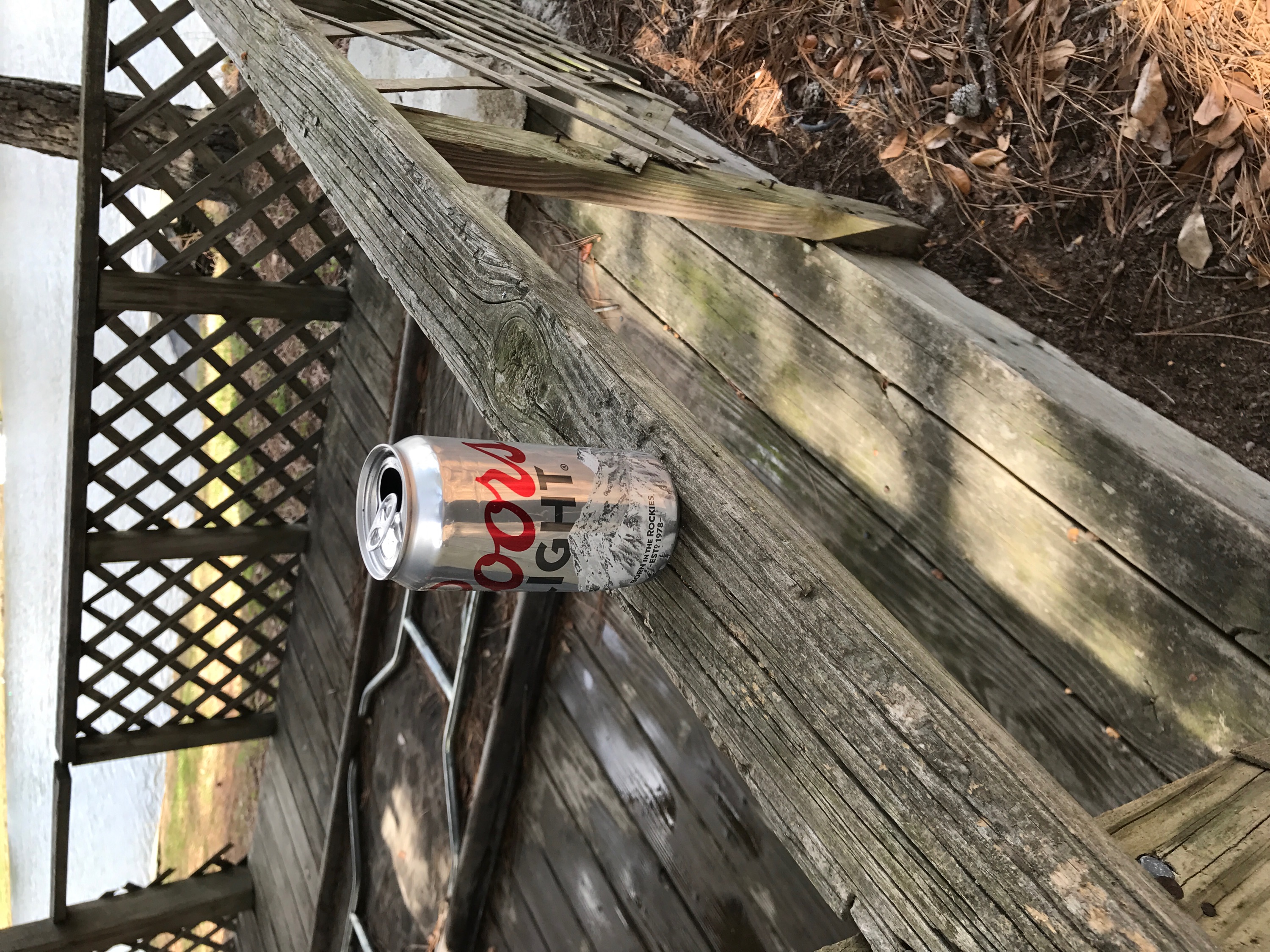
Beverage bottles, plastic pollution on the bottom
2
On
kilograms
I have debris data to report
1
Calm (glassy to rippled) for waves 0 – 0.1 meter high
plastic bag, clothing
Blu Crabs
Released Unharmed
4
m2
2
fishing net
Bohol Discodoris, nudibranch
Dead
meters
coral reef
2
10
4
1
9
1
City
Duong Dong
Map Help
Dive Location
If you know your survey site coordinates, enter them manually in decimal degrees using WGS84 Map Datum. Use the minus sign for latitudes south of the equator and longitudes west of the Prime Meridian to 180 degrees.
If you do not know your survey site coordinates, click the “Map Location” tab to use the map to zoom into your survey site and drop the pin on the map to fall within your survey dive site in the water (not on land or the beach). Ensure you zoom in as much as possible to ensure data accuracy.
Entangled Help