Stone Lighthouse (hòn Móng Tay)
6
18
19
5
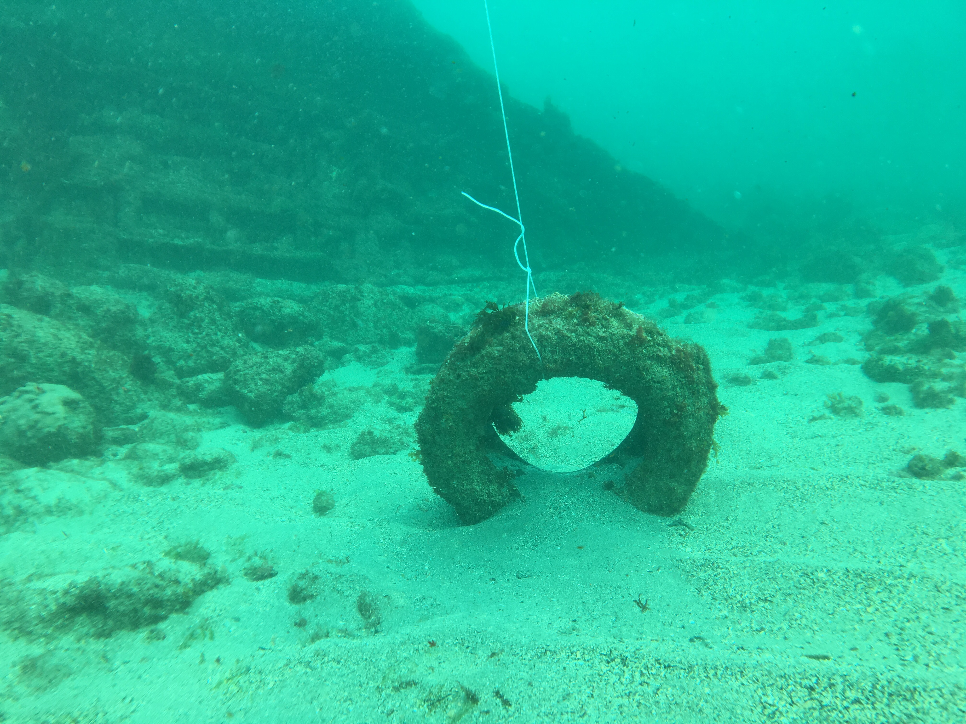
coral
4
42
9.908122547579266, 104.02138642966747
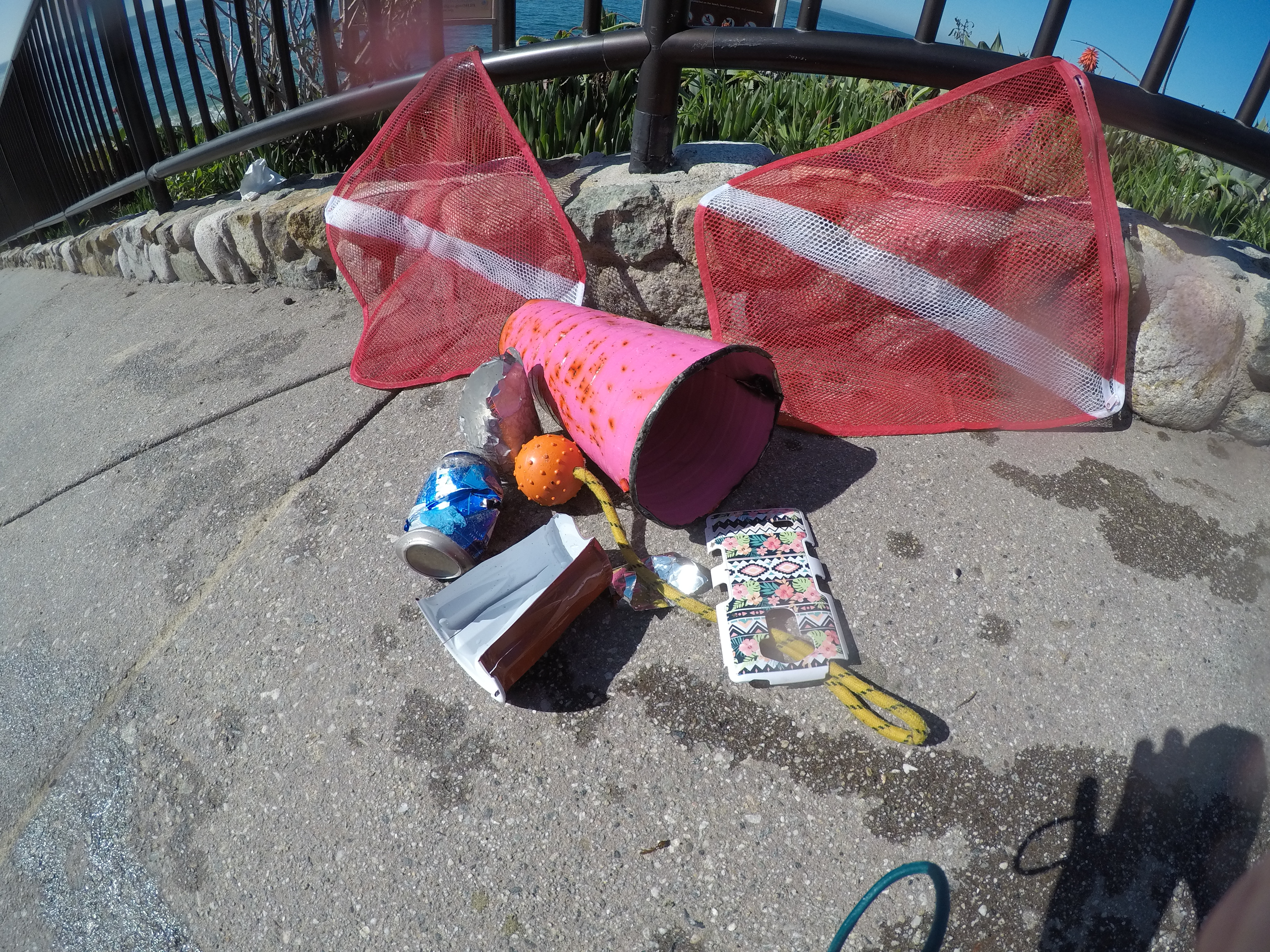
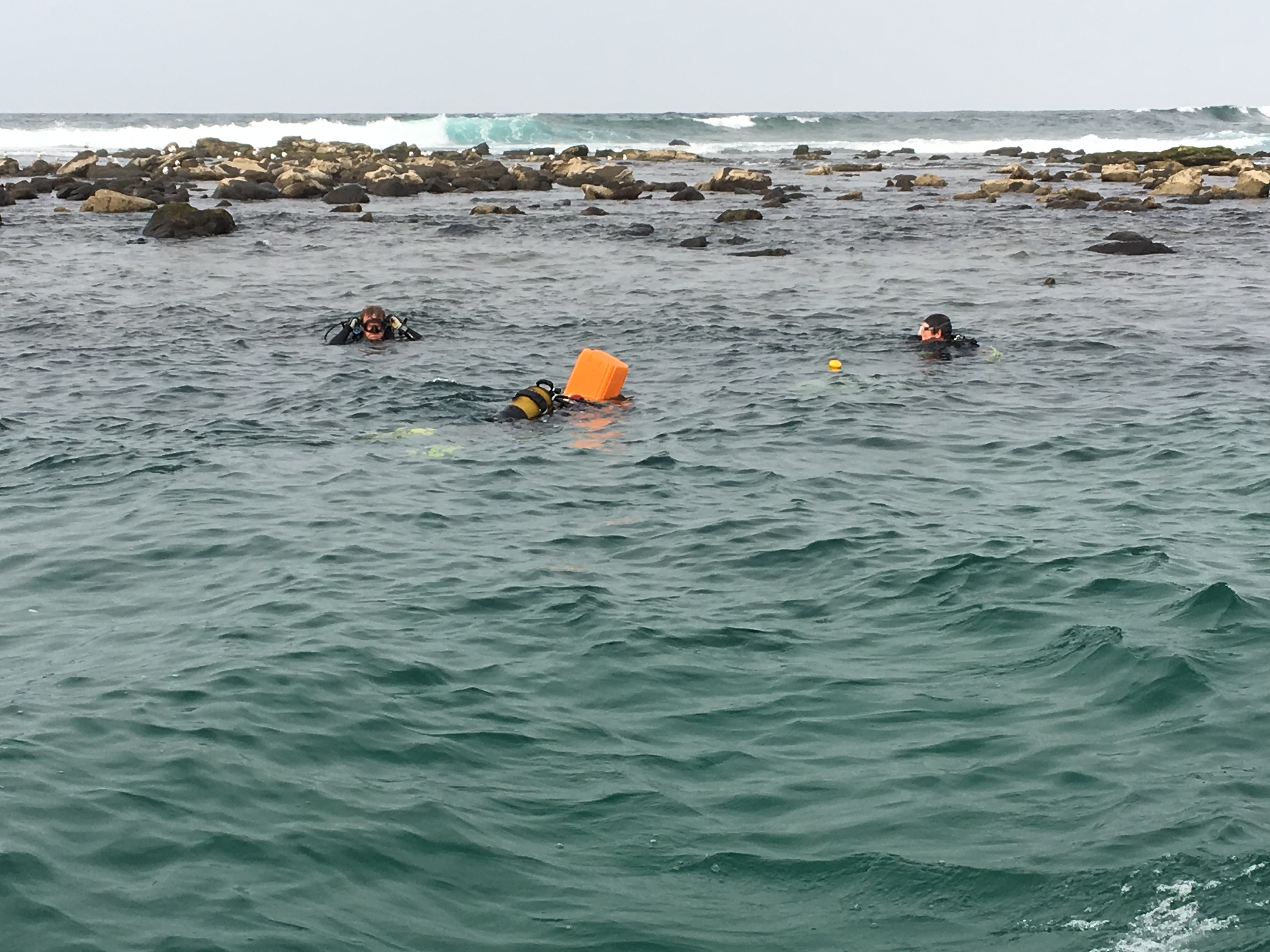
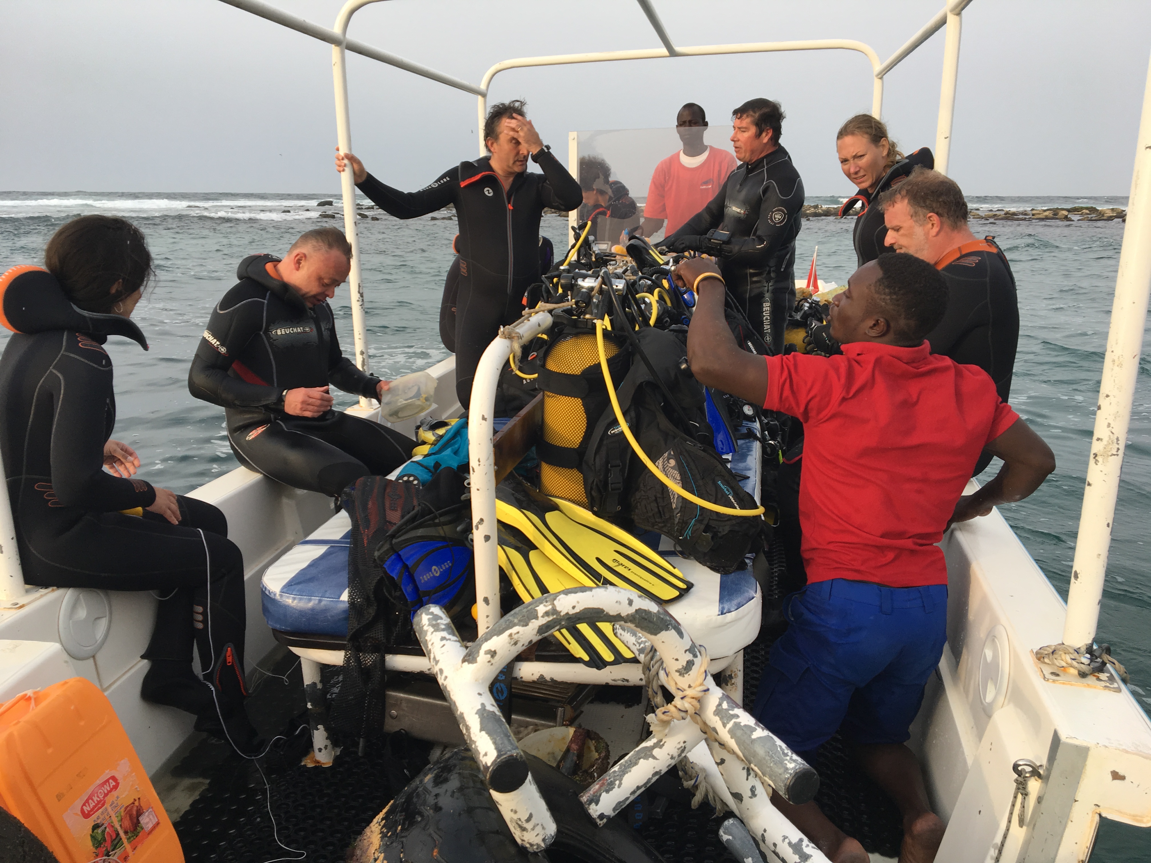
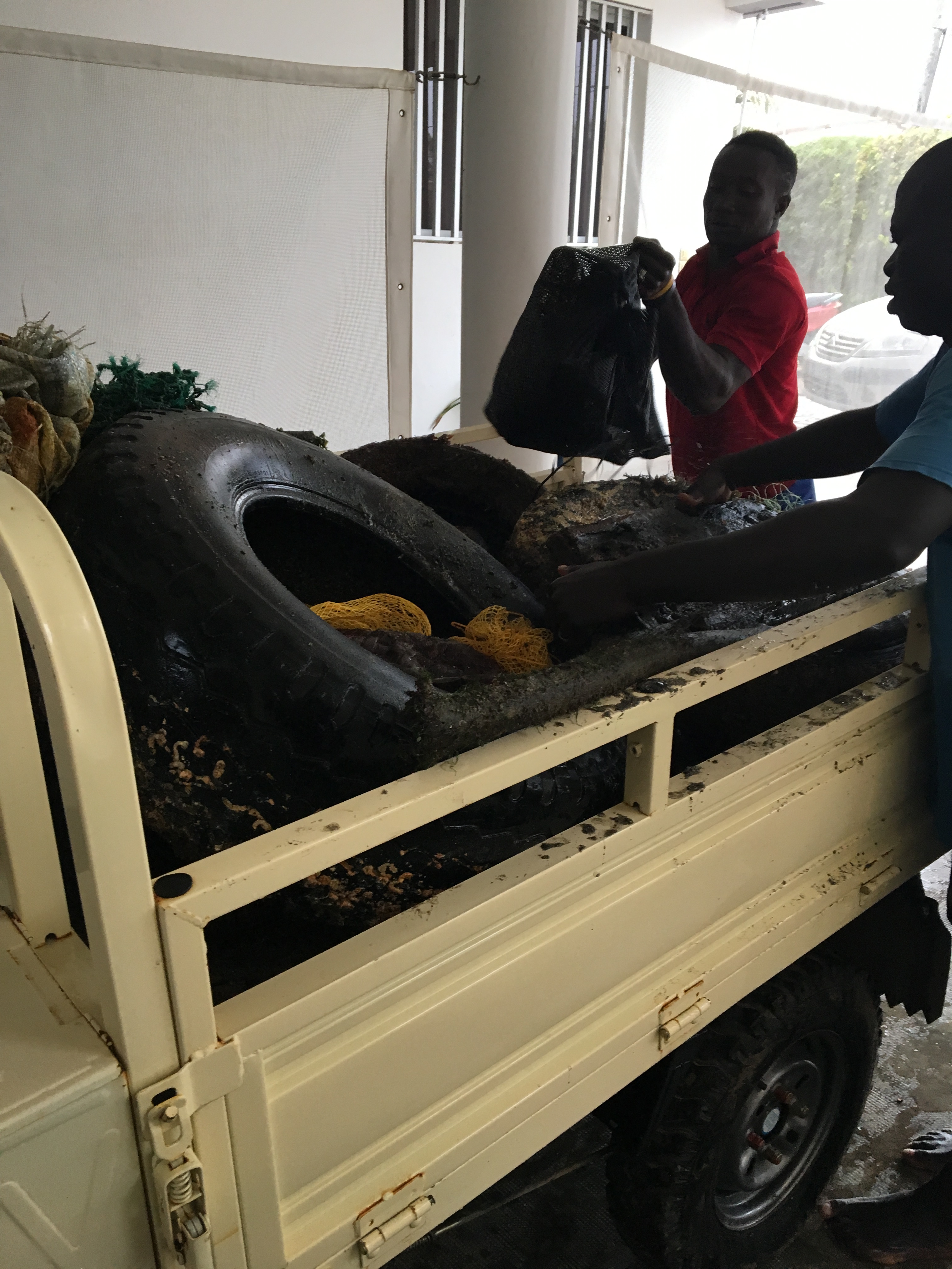
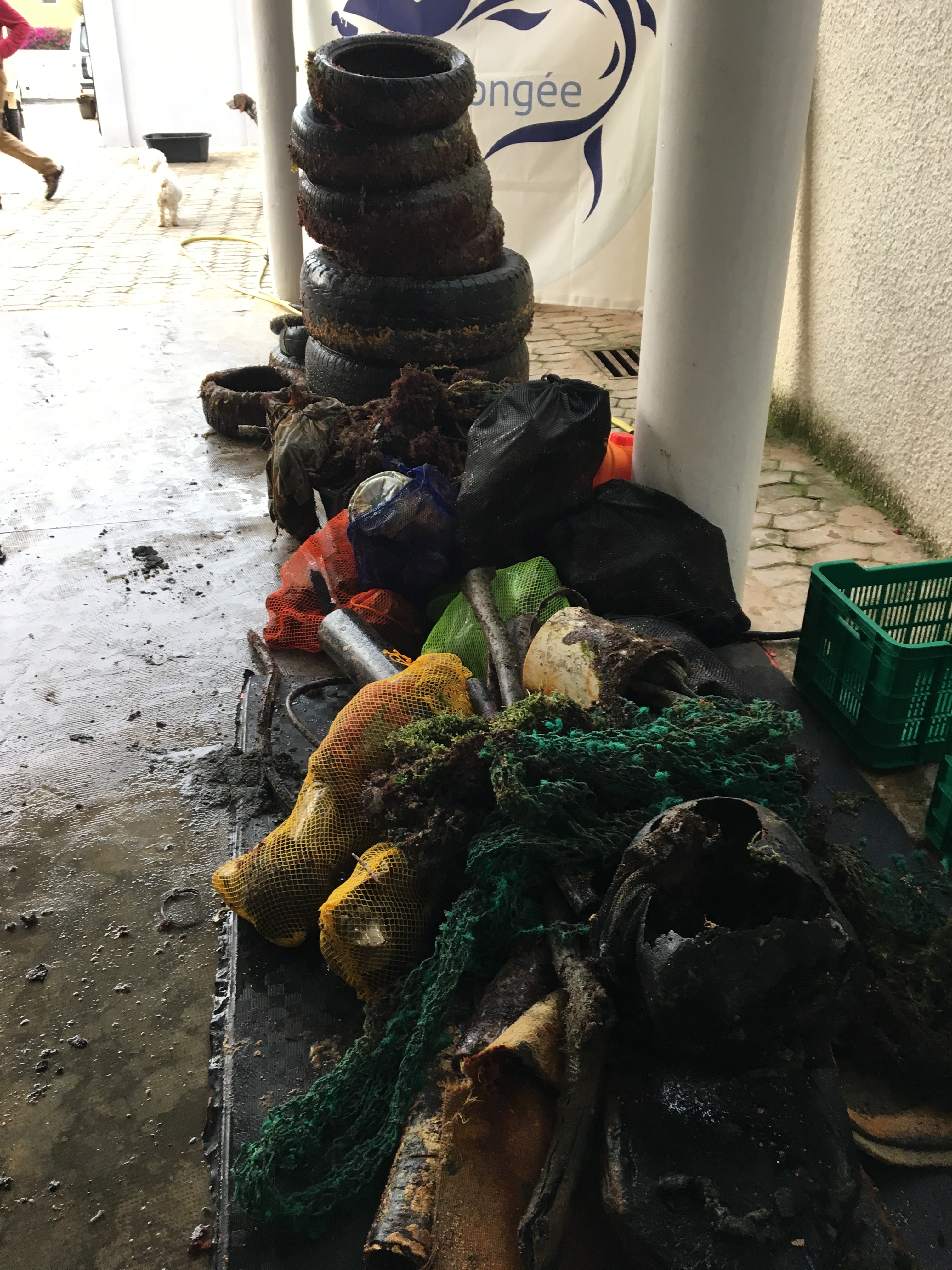
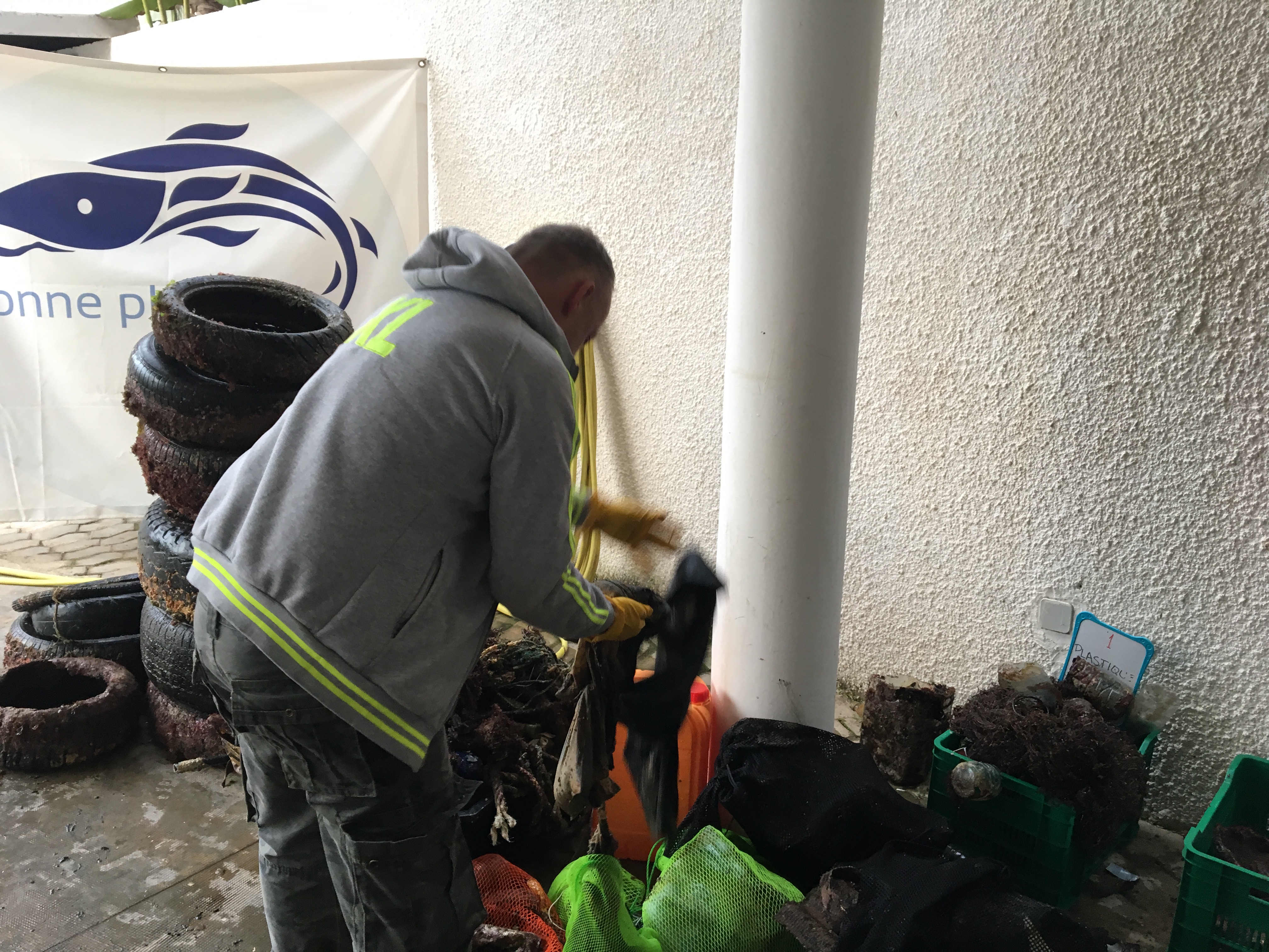
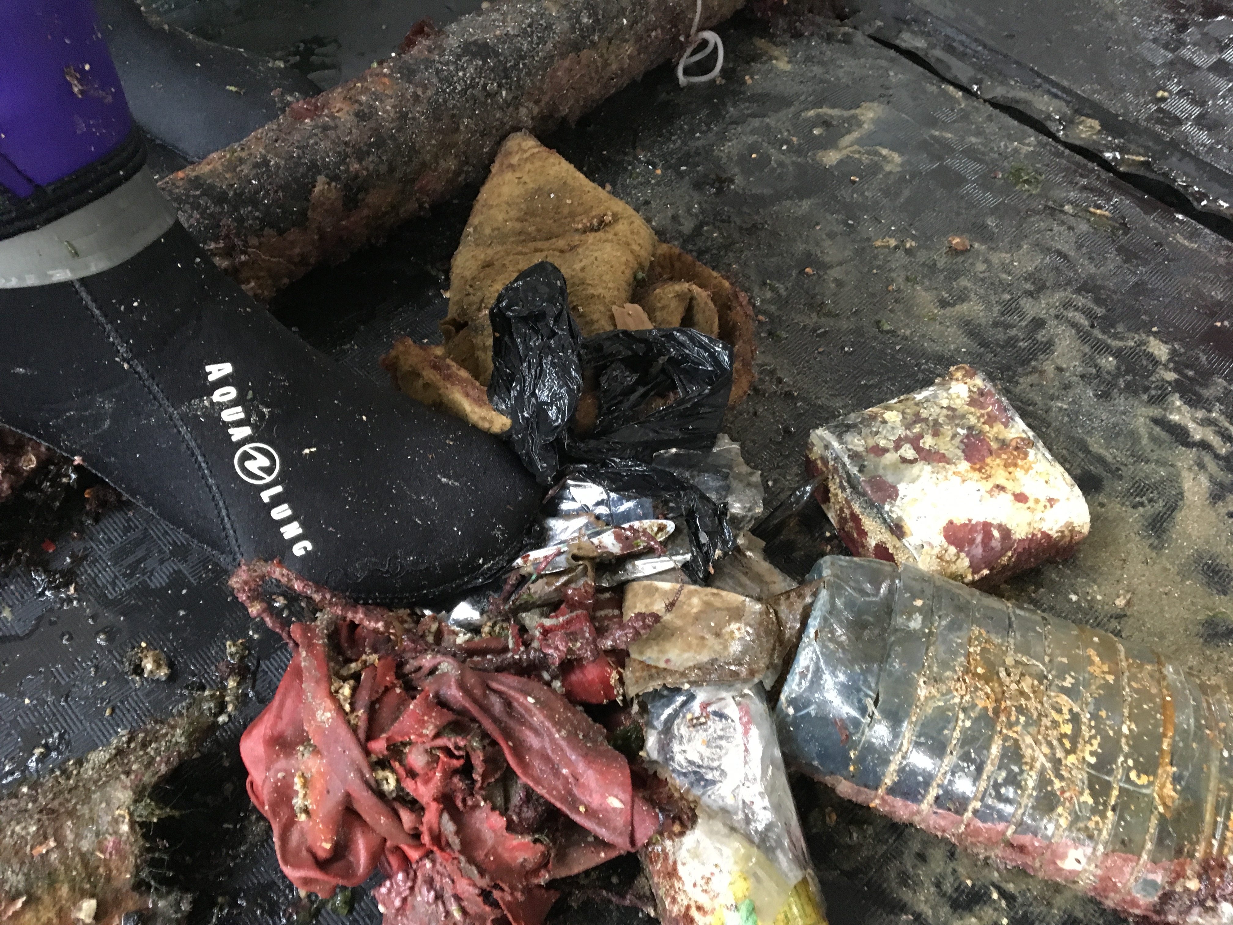
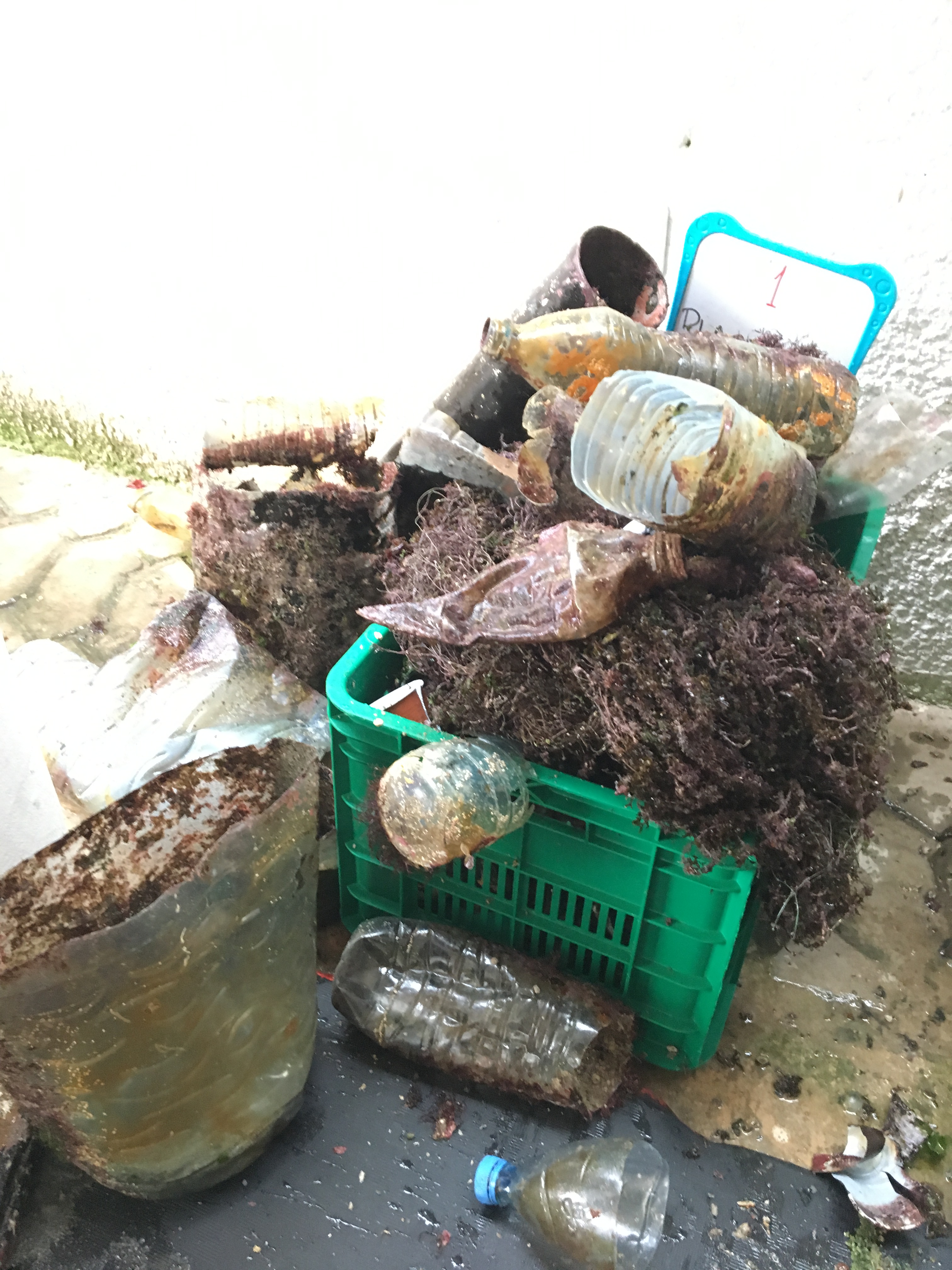
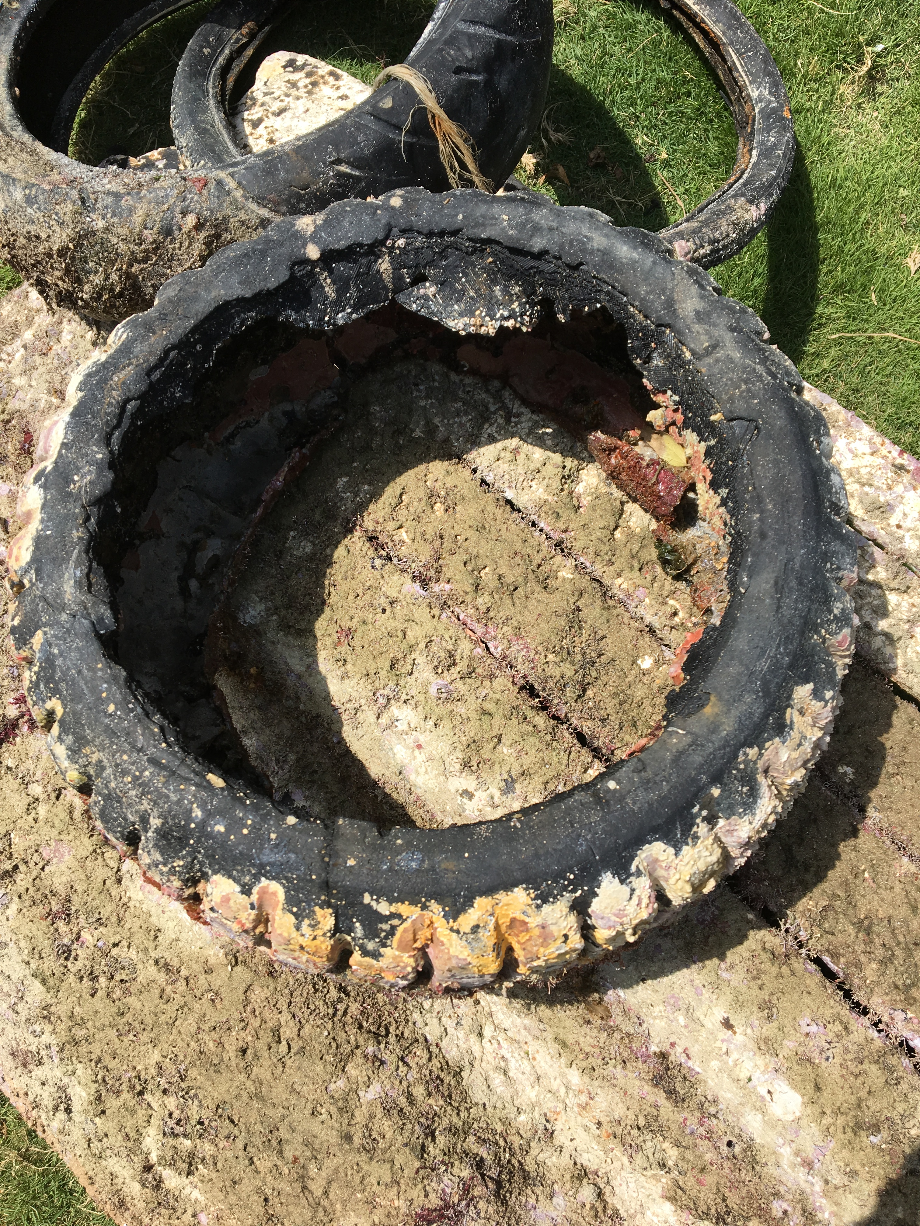
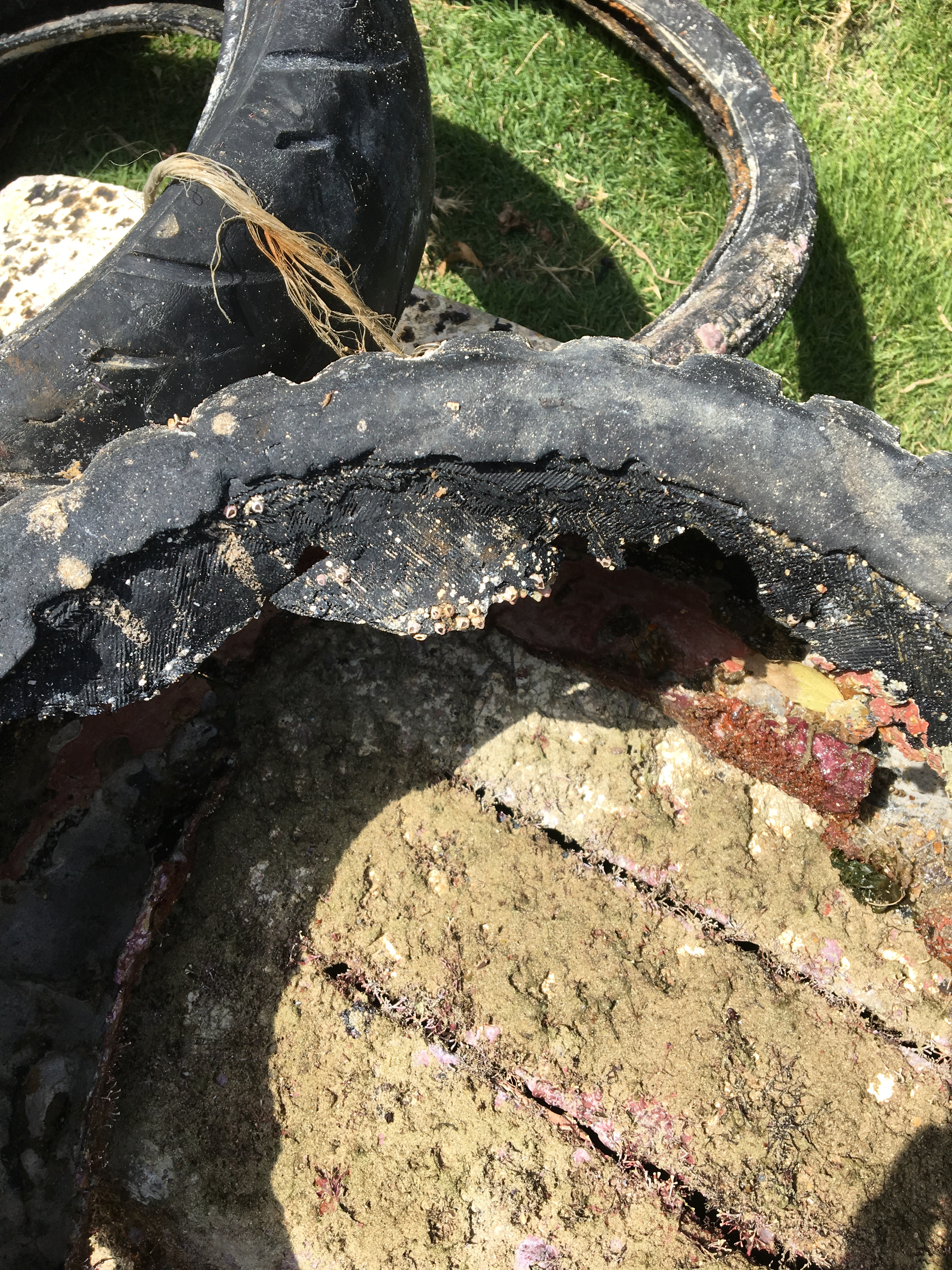
Hon Mong Tay is a beautiful island in the An Thoi Archipelago. It has an abundance of giant hard corals and rock formations covered in soft corals and anemones offering shelter to a large variety of fish and invertebrates. We didn't find too much single use plastic such as cups, straws and packaging on the dive site, probably due to it's remote location, but the amount of line and nets that we brought up shows that this marine protected area is still in need of better enforcement and regulation. Hopefully, as the diving continues to grow in popularity, so too does the protection that this area deserves.
No
Size of rope/wire/net etc should be easier to categorise. Some line we collected would have weighed 1kg while other pieces were just a few grams.
Fan Belt
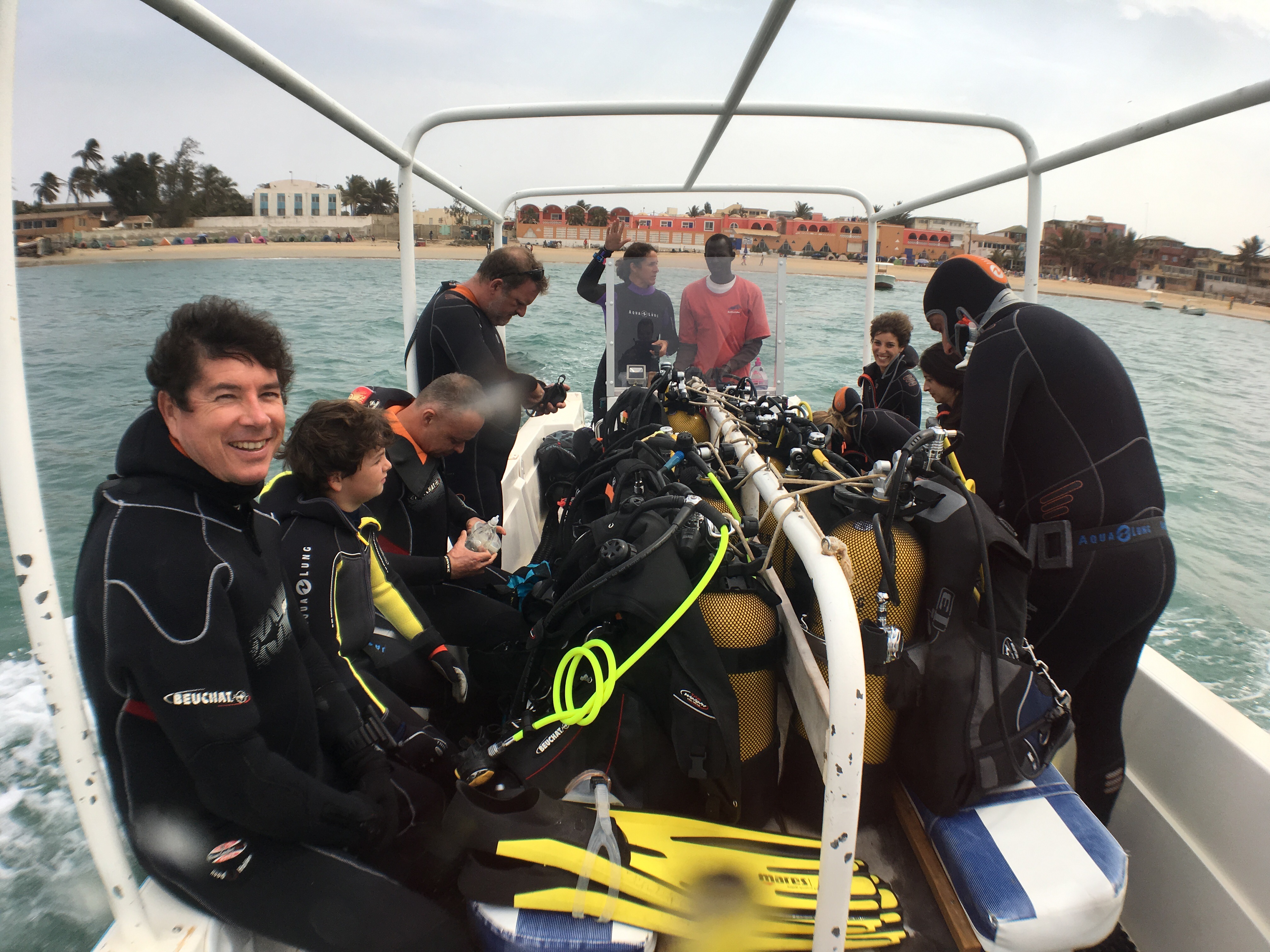
Showers, 26-32 degrees, Cloudy, Sunny, Wind 0-17kts
2
1
Fan Belt
Barrel Seal/Gasket
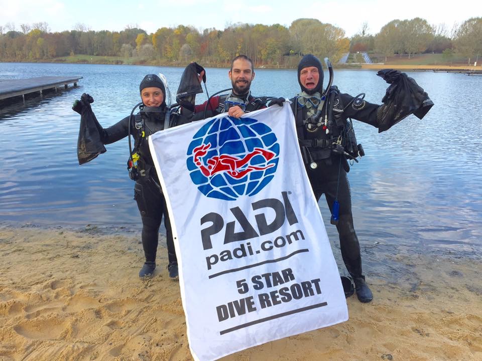
Rainbow Divers Phu Quoc
Colin Wadeson
3
2
2
23
2
4
3
1
38.20
42
11.00
1.00
estimated
2
2
490.00
1
1
Nets
Line
Rope/String
On
kilograms
I have debris data to report
Calm (glassy to rippled) for waves 0 – 0.1 meter high
Net
Injured
Brittle Sea Star
Crab
Released Unharmed
4
2
Fishing Line
m2


30
1
meters
coral reef
2
3
5
1
State\Province
Phu Quoc
City
Duong Dong
Map Help
Dive Location
If you know your survey site coordinates, enter them manually in decimal degrees using WGS84 Map Datum. Use the minus sign for latitudes south of the equator and longitudes west of the Prime Meridian to 180 degrees.
If you do not know your survey site coordinates, click the “Map Location” tab to use the map to zoom into your survey site and drop the pin on the map to fall within your survey dive site in the water (not on land or the beach). Ensure you zoom in as much as possible to ensure data accuracy.
Entangled Help