Ngor Bay
7
13
3
14.750420149556, -17.512403637138
3
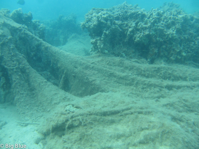
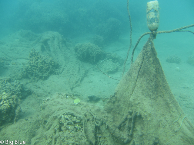
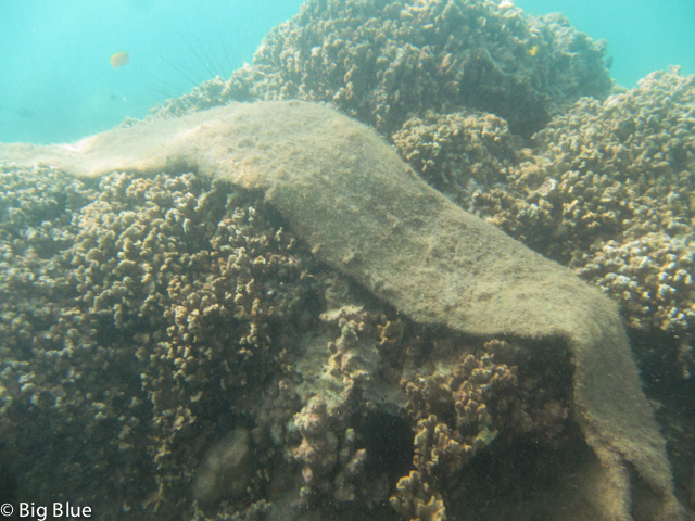
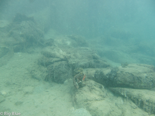
sand
25
2
Other Instructors also helped on that day :
Philippe Galuzet MSDT 956888
Jean Yves Gardel MSDT 317584
Kevin Thirion MSDT 352495
Philippe Galuzet MSDT 956888
Jean Yves Gardel MSDT 317584
Kevin Thirion MSDT 352495
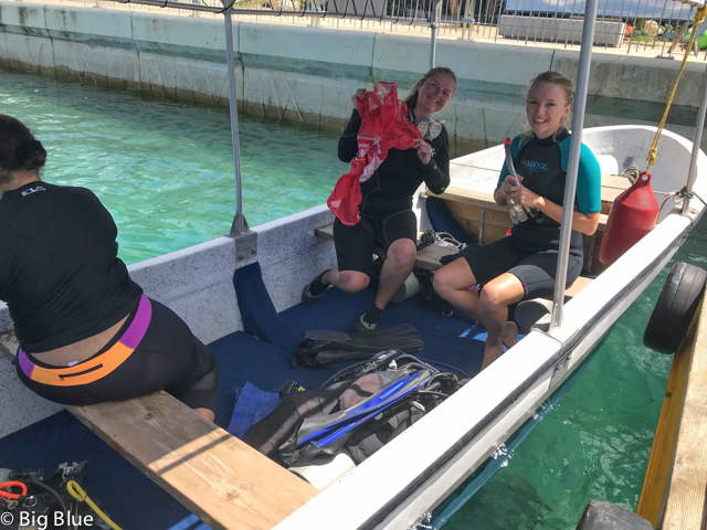
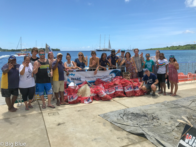
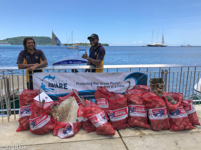
Beach clean up at the same time with non divers
We collected less then the first time in June. Good sign I think !
PLastic chair
Sea calm, little
Nautilus Diving
Hilda Hausard
1
7
20
6
70
5
53
2
6
300.00
65
6.00
2.00
2
estimated
300.00
5
plastic bottles
beverage cans
On
kilograms
I have debris data to report
14
Smooth (wavelets) for waves 0.1 - 0.5 meter high
6
7
3
3
m2


5
meters
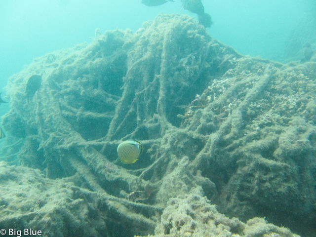
rocky reef
14
5
3
3
7
38
7
13
2
City
Dakar
Map Help
Dive Location
If you know your survey site coordinates, enter them manually in decimal degrees using WGS84 Map Datum. Use the minus sign for latitudes south of the equator and longitudes west of the Prime Meridian to 180 degrees.
If you do not know your survey site coordinates, click the “Map Location” tab to use the map to zoom into your survey site and drop the pin on the map to fall within your survey dive site in the water (not on land or the beach). Ensure you zoom in as much as possible to ensure data accuracy.
Entangled Help