ADS321 - Clifton Garden
140
220
1
-33.839795, 151.253671
3
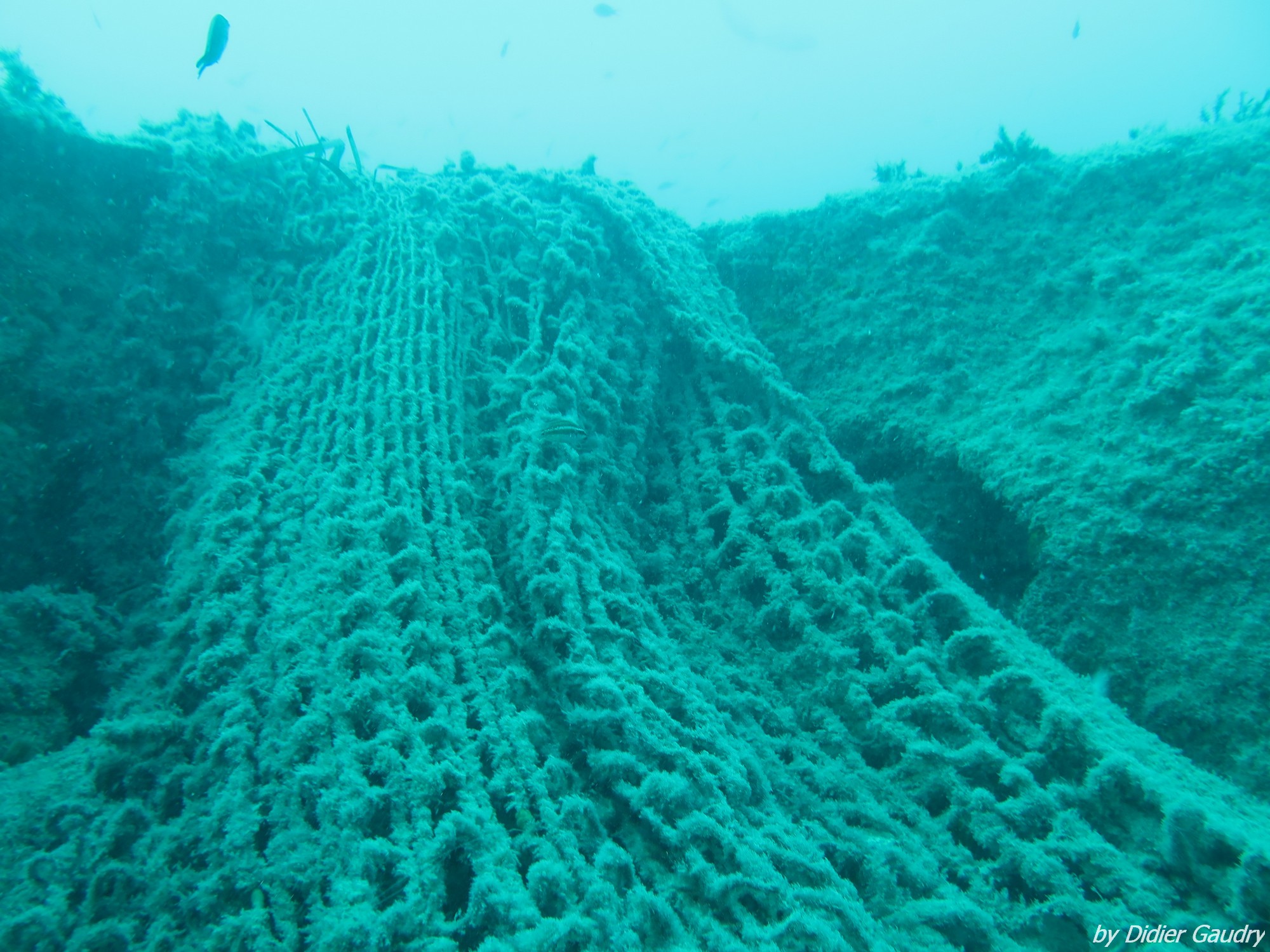
sand
4
1
360
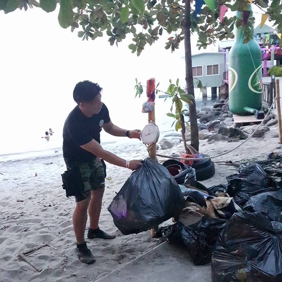
Summer leading up to more people having picnic by the beach (more food packaging and fragments found)
Traffic cone
Sunny
1
Traffic cone
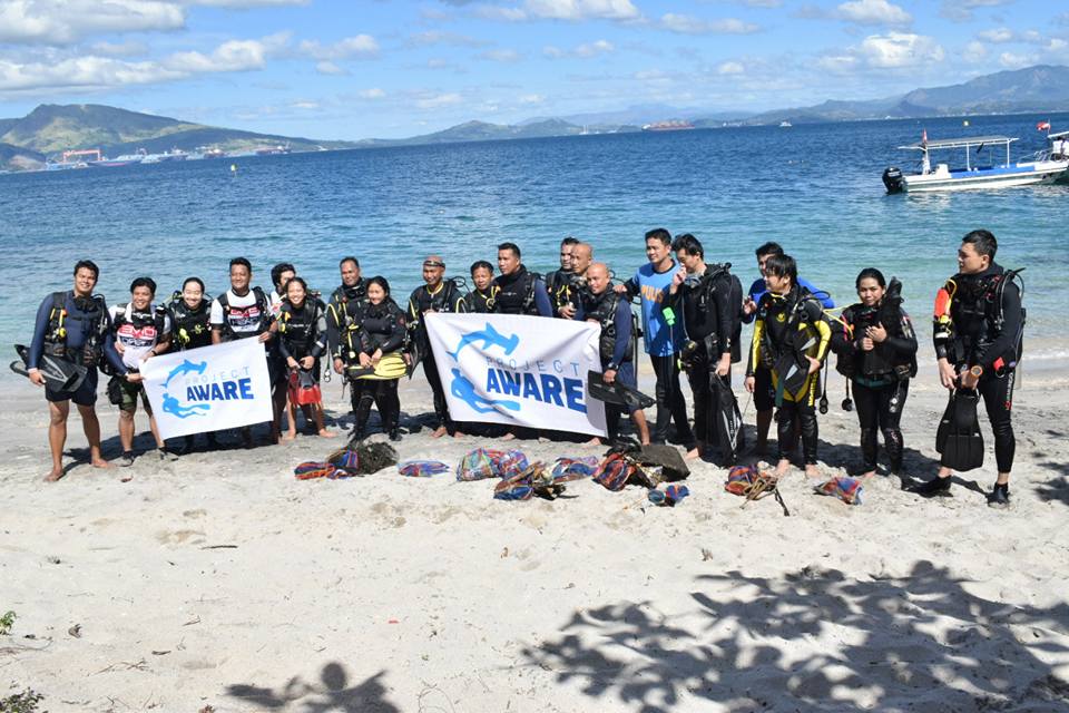
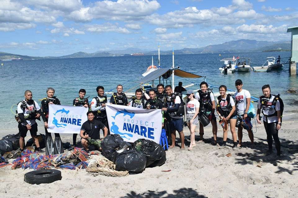
Underwater Research Group of NSW
Rianti Bieler
1
1
3
21
1
5
10
1
9
3
5
13
1
41.30
55
8.00
2.00
measured
6
56
7150.00
13
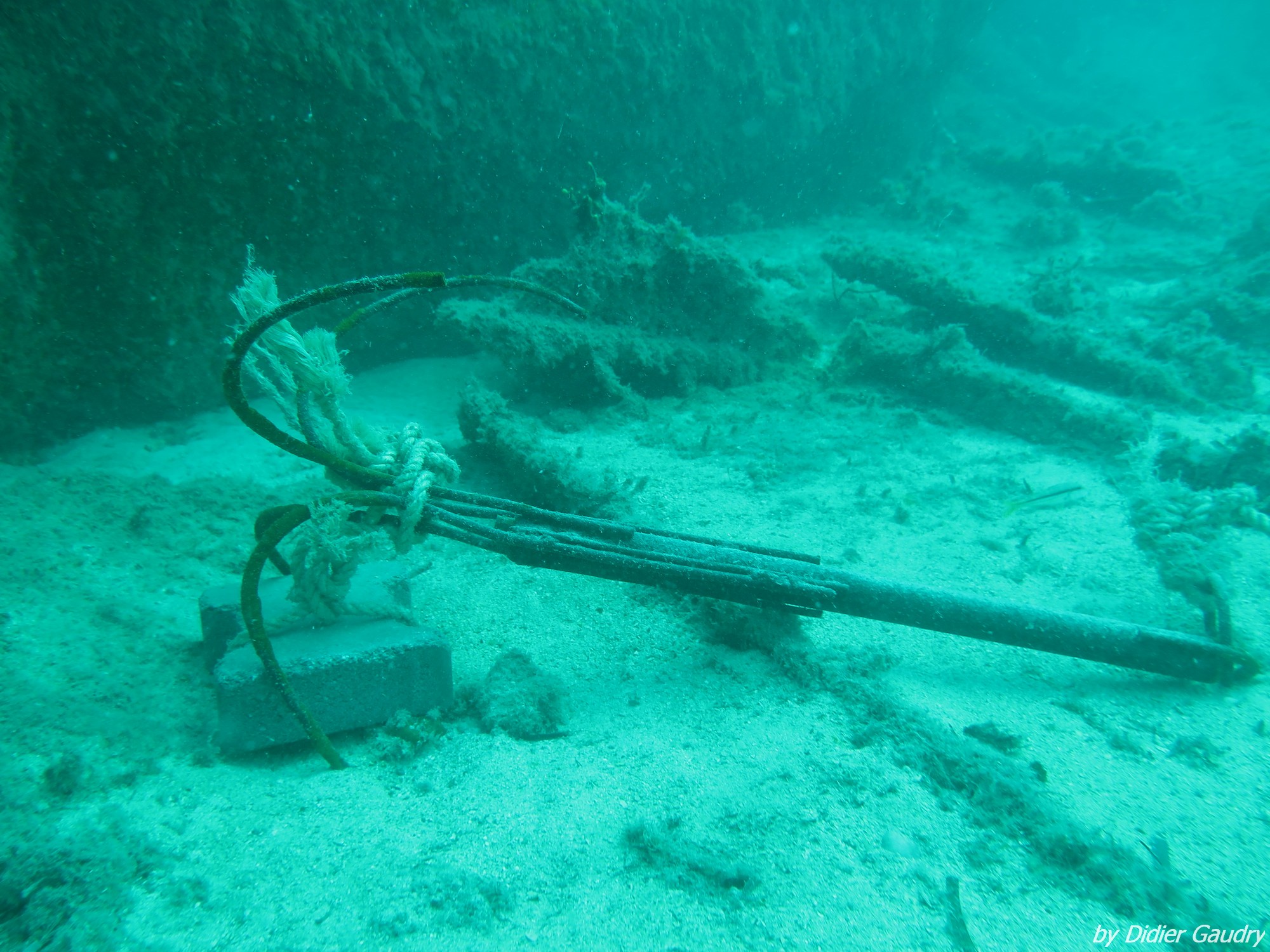
Fishing line
Plastic fragments
Food wrappers
5
On
kilograms
I have debris data to report
5
Calm (glassy to rippled) for waves 0 – 0.1 meter high
1
2
21
m2
2
meters
kelp
11
8
1
12
1
4
State\Province
NSW
City
Sydney
Map Help
Dive Location
If you know your survey site coordinates, enter them manually in decimal degrees using WGS84 Map Datum. Use the minus sign for latitudes south of the equator and longitudes west of the Prime Meridian to 180 degrees.
If you do not know your survey site coordinates, click the “Map Location” tab to use the map to zoom into your survey site and drop the pin on the map to fall within your survey dive site in the water (not on land or the beach). Ensure you zoom in as much as possible to ensure data accuracy.
Entangled Help