Alimos Beach
2
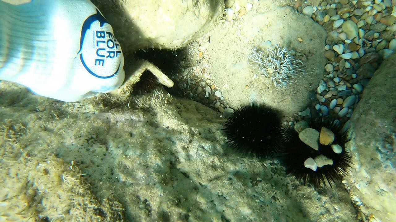
rock
4
13
37.909177128675, 23.710373731973
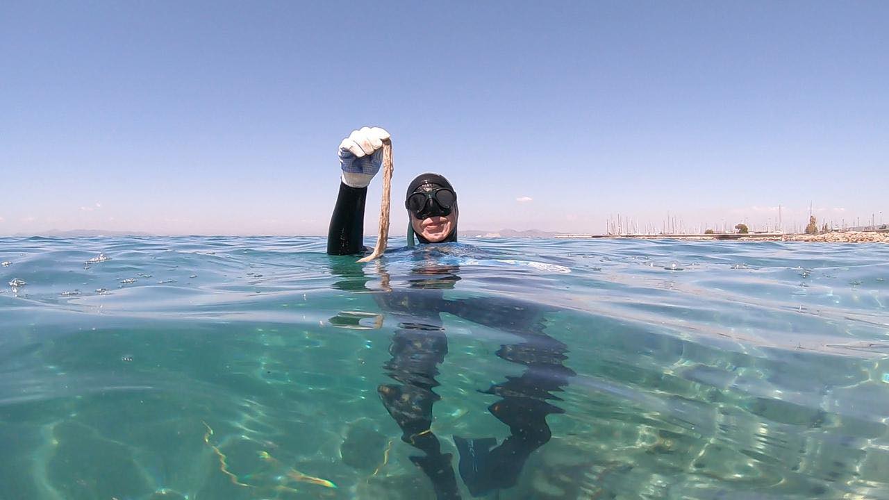
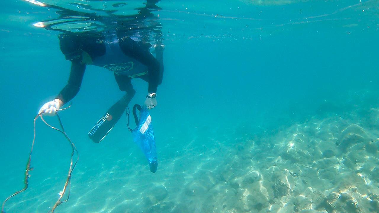
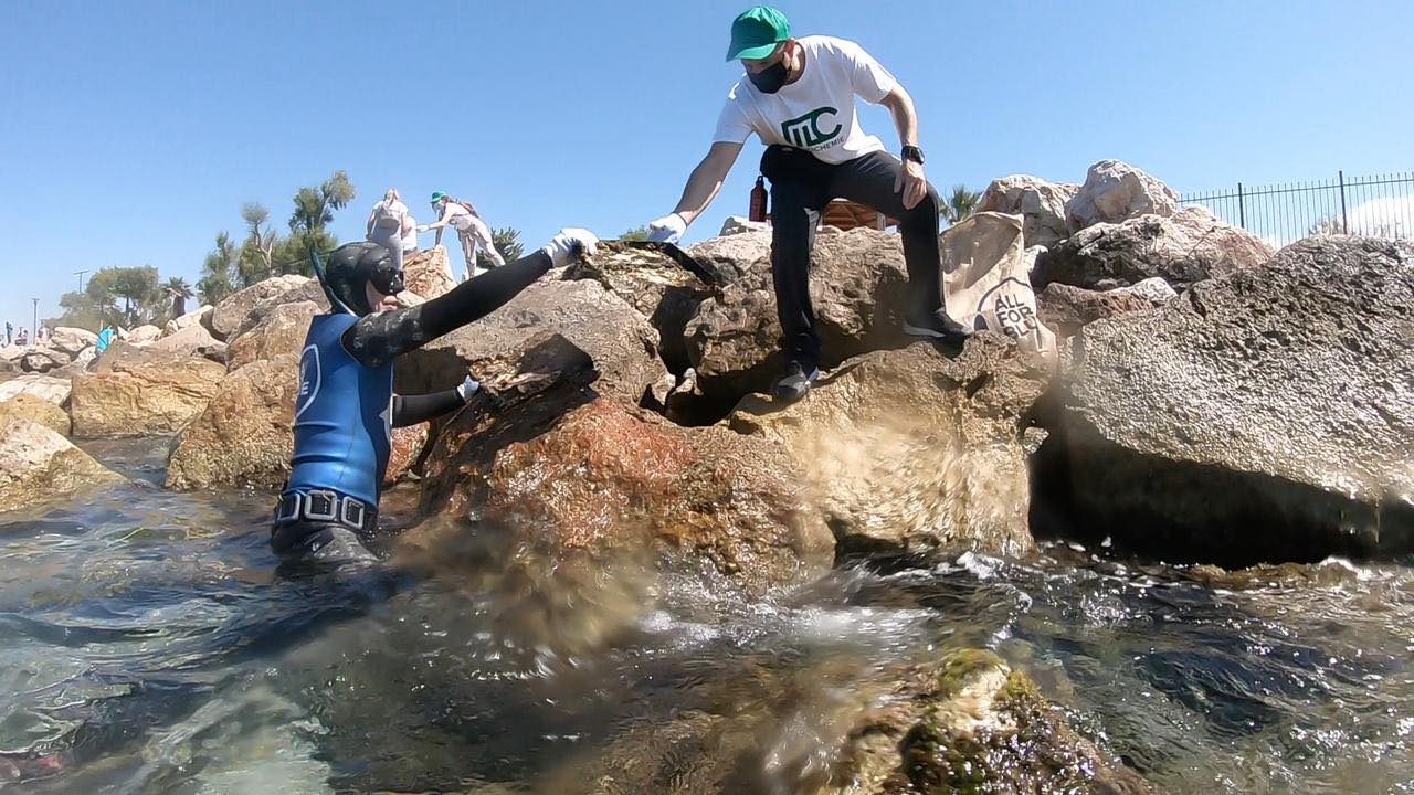
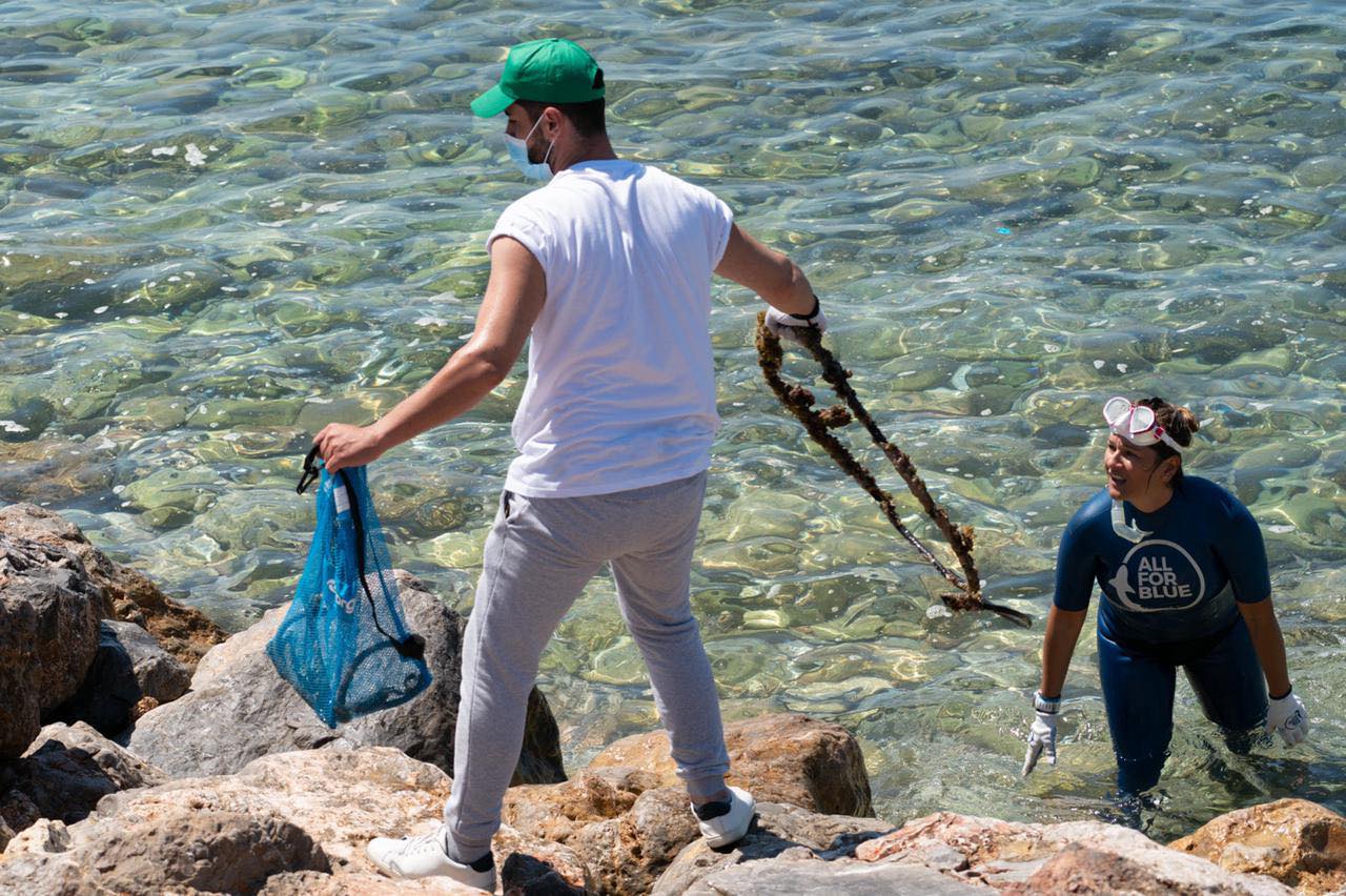
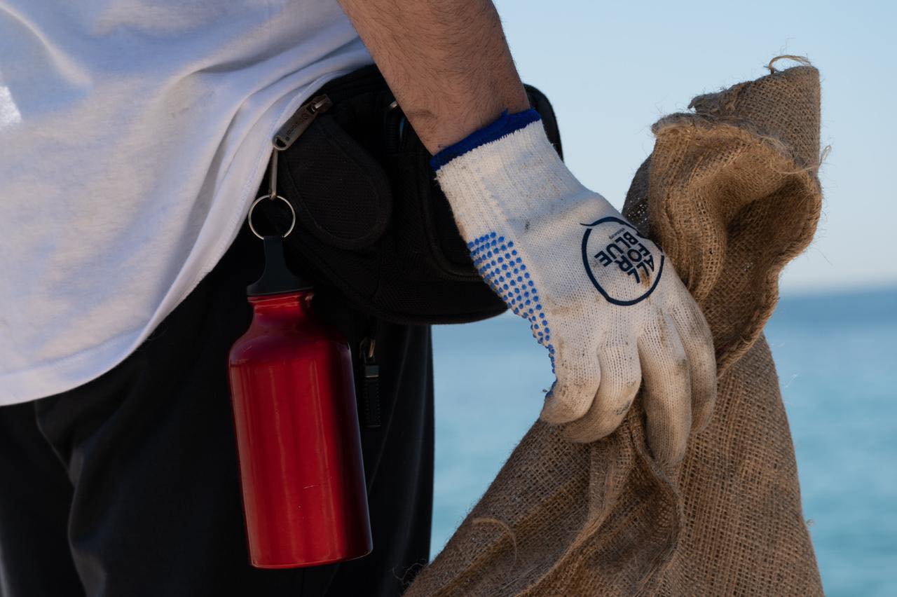
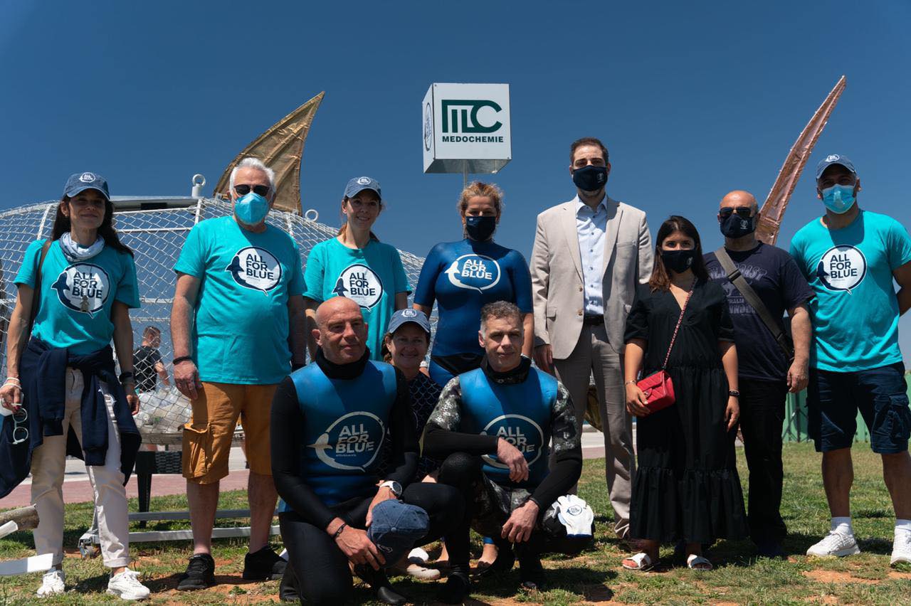
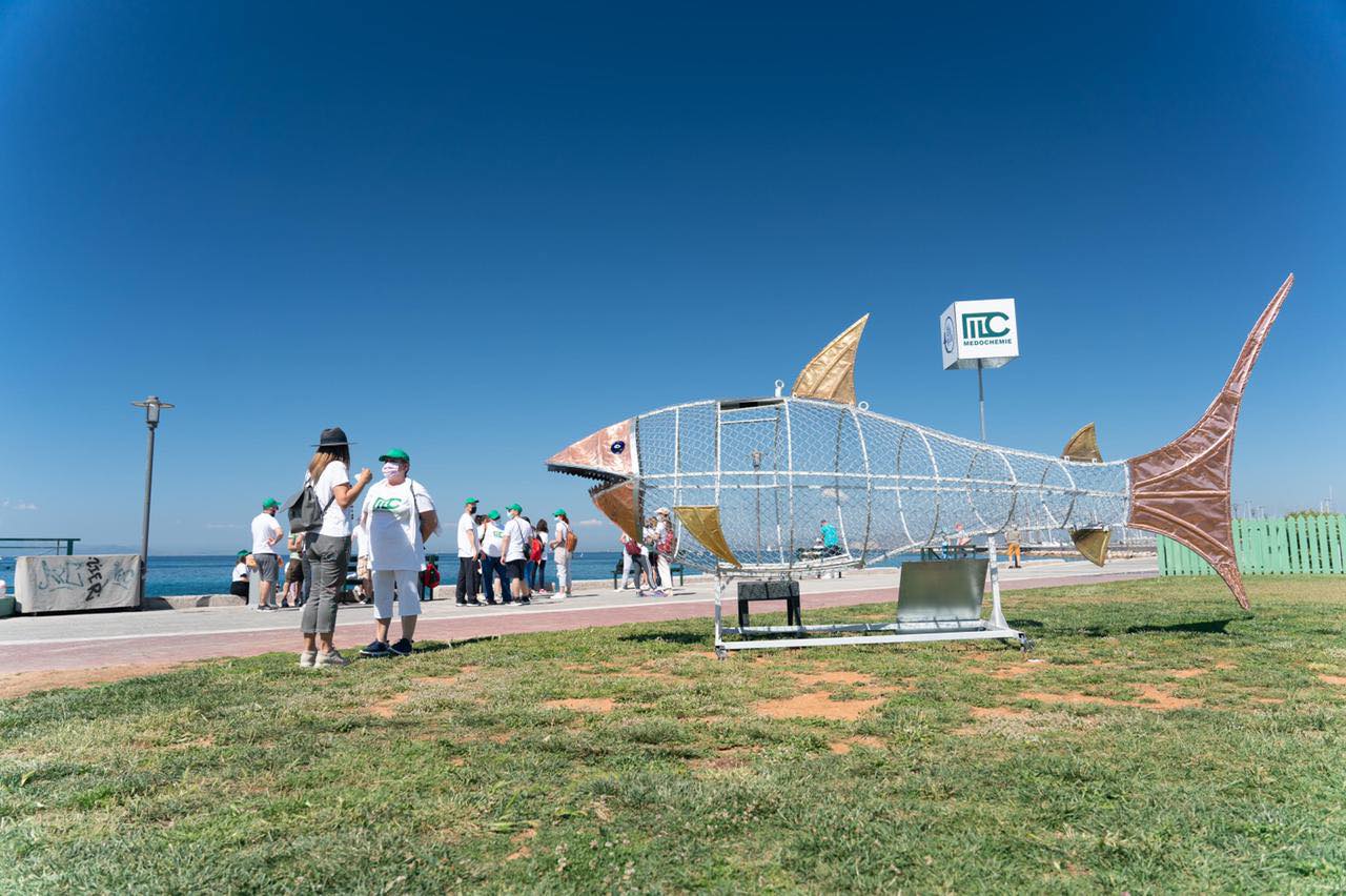
All For Blue with the help of Medochemie Hellas recently launched a new fun way to dispose and recycle plastic waste in Alimos
Beach!!!
SAVVAS THE SHARK WHO "EATS" PLASTIC!!! (as seen at the photographs above)
His goal is to collect plastic for recycling and raise environmental awareness for all citizens but especially kids.
Beach!!!
SAVVAS THE SHARK WHO "EATS" PLASTIC!!! (as seen at the photographs above)
His goal is to collect plastic for recycling and raise environmental awareness for all citizens but especially kids.
tent board
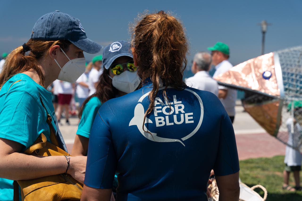
All For Blue organisation
All For Blue
7
6
13
14
4
1
8
11
6
51.50
50
6.00
4.00
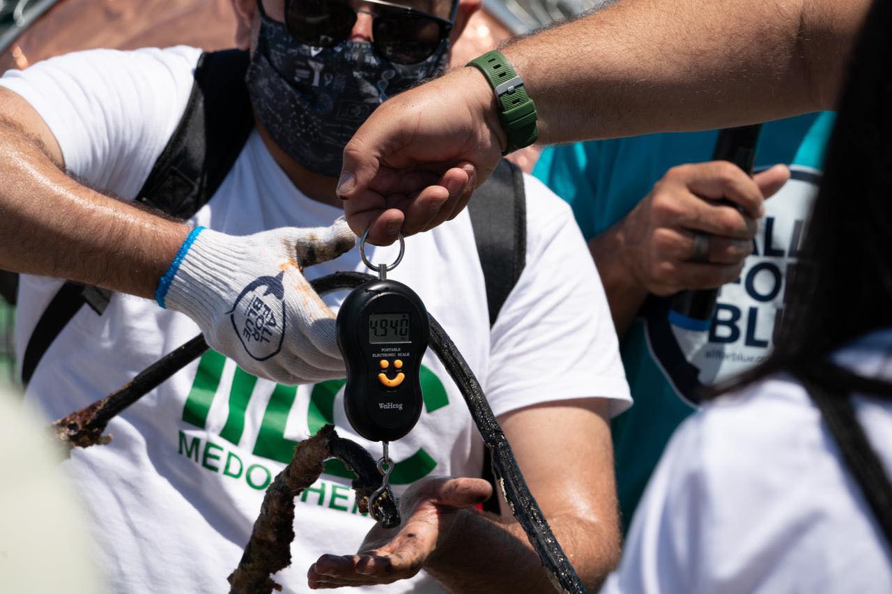
measured
650.00
On
kilograms
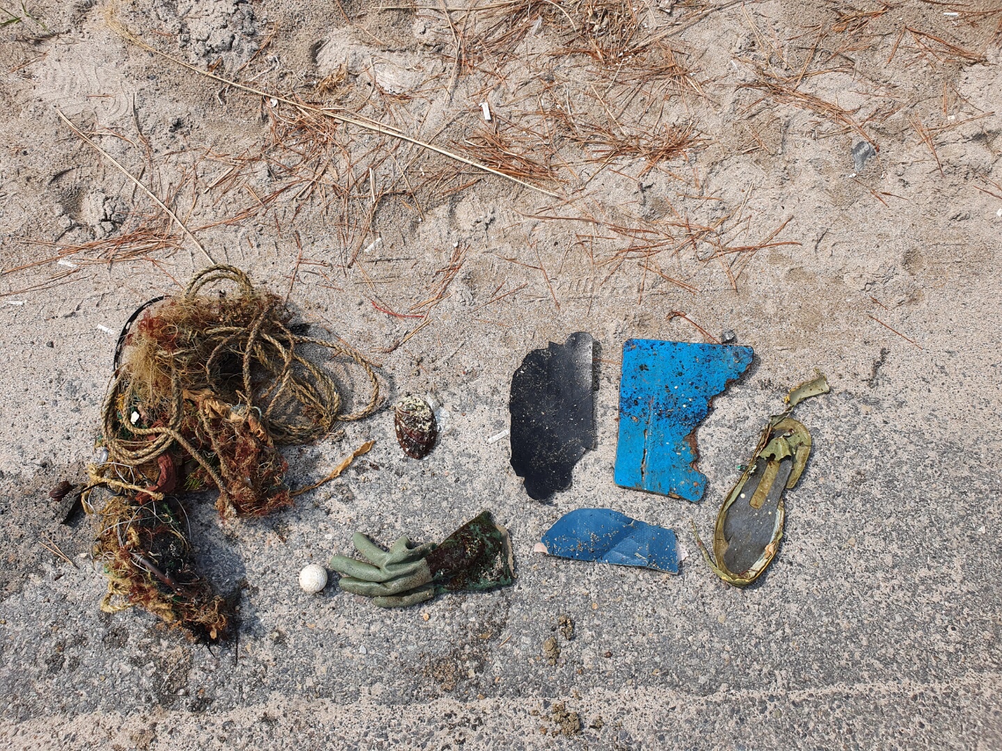
I have debris data to report
8
Calm (glassy to rippled) for waves 0 – 0.1 meter high
3
m2
3
meters
rocky reef
5
3
City
Athens
Map Help
Dive Location
If you know your survey site coordinates, enter them manually in decimal degrees using WGS84 Map Datum. Use the minus sign for latitudes south of the equator and longitudes west of the Prime Meridian to 180 degrees.
If you do not know your survey site coordinates, click the “Map Location” tab to use the map to zoom into your survey site and drop the pin on the map to fall within your survey dive site in the water (not on land or the beach). Ensure you zoom in as much as possible to ensure data accuracy.
Entangled Help