
Dive Against Debris Data Submission
Rig 2
23 May, 2021
- Team Leader
- Doris chin
- Number of Participants
- 8
- Total Debris Collected
- 16 kgs (estimated)
5.1066999977682, 114.951883
Survey Information
- Location Name
- Rig 2
- Organization/Dive Centre
- Oceanic Quest
- City
- Muara
- Country
- Brunei
- Date
- 23 May, 2021
- Survey Duration
- 20 Minutes
- GPS Coordinates
- Latitude: 5.1066999977682
Longitude: 114.951883
- Weather Conditions
-
Choppy
- Survey Depth Range
- 10.0005–18.0015 meters
- Area Surveyed
- 200 m2
- Dominant Substrate
- sand
- Ecosystem
- other
- Wave Conditions
- Smooth (wavelets) for waves 0.1 - 0.5 meter high
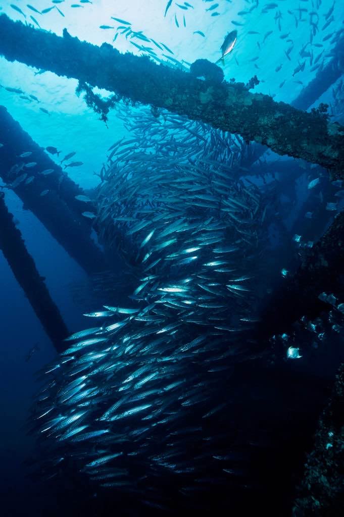
Survey Photos
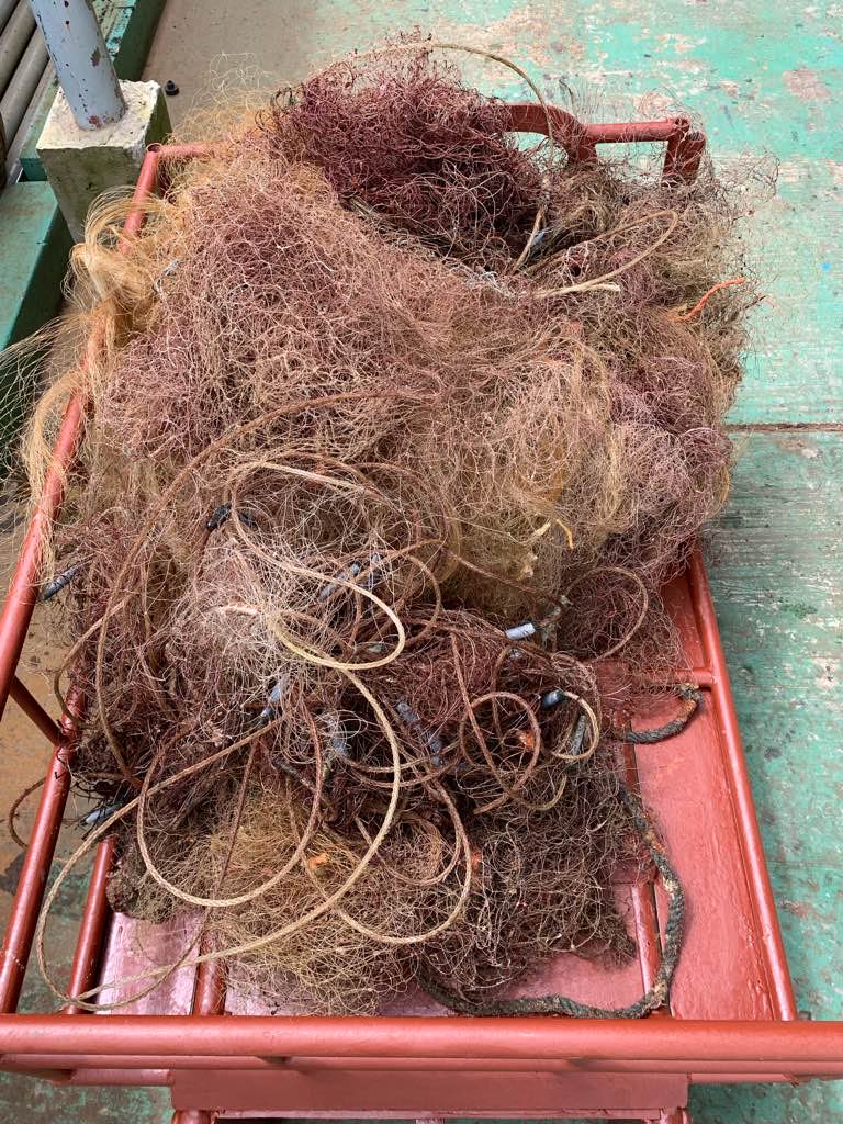
Debris Items Collected
| plastic materials collected | |
|---|---|
| Buoys & Floats (plastic & Foamed) | 20 |
| Fishing: Line | 2 |
| Fishing: Nets & Pieces Of Nets | 250 |
| Rope (plastic/nylon) | 2 |
| metal materials collected | |
|---|---|
| Fishing: Sinkers, Lures, Hooks | 2 |
| cloth materials collected | |
|---|---|
| Rope And String (cloth) | 2 |
| Entangled Animals | |
|---|---|
| Crustaceans | |
| Species or Common Name | Crab |
| Number Entangled | 1 |
| Status | dead |
| Type of Debris | Fishing net |
| Comments | Dead |
Additional Information
Ghost fish net


