Menu

Vista Blue S17334

0
0
0
0

12.033927, -68.261394

0
0
0
coral
0
0
0
0
0
Marine park, very few people throw their trash away irresponsibly
Calm, a little bit windy
Toucan Diving Bonaire
Lau
0
0
0
0
0
0
0
0
0
0
0
0
0
0
0
0
0
0
0
3
0
0
0
0
0
0
0
0
0
0
0
0
0
0
0
0
0.00
58
25.00
5.00
0
estimated
0
0
0
0
1297.30
0
0
0
0
0
0
On
kilograms
0
Our Survey Site was free of debris
0
0
0
Smooth (wavelets) for waves 0.1 - 0.5 meter high
0
0
0
0
0
0
0
m2
0
0
meters
coral reef
0
0
0
0
0
0
0
0
0
0
0
0
0
0
0
0
0
0
0
0
0
0
0
0
0
0
0
0
0
Netherlands Antilles
State\Province
Bonaire
City
Kralendijk
Map Help


Dive Location

If you know your survey site coordinates, enter them manually in decimal degrees using WGS84 Map Datum. Use the minus sign for latitudes south of the equator and longitudes west of the Prime Meridian to 180 degrees.

If you do not know your survey site coordinates, click the “Map Location” tab to use the map to zoom into your survey site and drop the pin on the map to fall within your survey dive site in the water (not on land or the beach). Ensure you zoom in as much as possible to ensure data accuracy.

Entangled Help


Use the vertical tabs below to record any entangled animals you found of each type.

Píer do Pereque

2
64
0
0

-23.804912244324, -45.3658318022

0
0
0
sand
0
0
0
0
0
Public pier so a lot of people circulating
No
More debris were found than expected
Acoustic guitar headstock
Good
PADI AWARE
Fernando Martins
0
2
0
0
0
0
0
0
0
0
0
0
0
0
0
0
0
0
1
4
0
0
0
0
0
0
0
0
0
0
0
0
0
0
0
0
3.00
38
3.00
2.00
0
measured
0
3
697.68
0
0
0
4
0
Fishing sinker
Battery
Electric wire
0
On
kilograms
0
I have debris data to report
0
0
0
Calm (glassy to rippled) for waves 0 – 0.1 meter high
11
0
0
0
1
0
0
m2
1
0
meters
rocky reef
2
0
0
0
2
1
0
0
0
0
0
0
0
0
0
1
0
0
0
0
0
0
10
0
1
0
0
0
0
Brazil
State\Province
São Paulo
City
Ilhabela
Map Help


Dive Location

If you know your survey site coordinates, enter them manually in decimal degrees using WGS84 Map Datum. Use the minus sign for latitudes south of the equator and longitudes west of the Prime Meridian to 180 degrees.

If you do not know your survey site coordinates, click the “Map Location” tab to use the map to zoom into your survey site and drop the pin on the map to fall within your survey dive site in the water (not on land or the beach). Ensure you zoom in as much as possible to ensure data accuracy.

Entangled Help


Use the vertical tabs below to record any entangled animals you found of each type.

Park West

0
0
0
0

30.329096780029, -87.180964472294

0
0
0
sand
0
0
0
0
0
No
Can
Rainy
Dive Pros
Michael Watkins
0
0
0
0
0
0
0
0
0
0
0
0
0
0
0
0
0
0
0
4
0
0
0
0
0
0
0
0
0
0
0
0
0
0
0
0
0.25
20
15.00
8.00
0
estimated
0
0
2666.88
0
0
0
0
0
Can
0
On
pounds
0
I have debris data to report
0
0
0
Calm (glassy to rippled) for waves 0 – 0.1 meter high
0
0
0
0
0
0
0
m2
0
0
feet
rocky reef
0
0
0
0
0
0
0
0
0
0
0
0
0
0
0
0
0
1
0
0
0
0
0
0
0
0
0
0
0
United States
State\Province
FL
City
Pensacola
Map Help


Dive Location

If you know your survey site coordinates, enter them manually in decimal degrees using WGS84 Map Datum. Use the minus sign for latitudes south of the equator and longitudes west of the Prime Meridian to 180 degrees.

If you do not know your survey site coordinates, click the “Map Location” tab to use the map to zoom into your survey site and drop the pin on the map to fall within your survey dive site in the water (not on land or the beach). Ensure you zoom in as much as possible to ensure data accuracy.

Entangled Help


Use the vertical tabs below to record any entangled animals you found of each type.

Seringat

39
92
7
0

1.23, 103.848599

3
0
0
coral
0
0
0
35
0
Trolley
The Submersibles
The Submersibles
3
0
0
37
0
0
0
0
0
0
11
0
0
2
1
0
0
118
0
20
0
0
0
0
13
0
221
1
1
2
0
0
0
0
0
0
60.00
45
6.50
2.90
14
measured
0
0
0
9
4534.52
0
0
0
0
0
Plastic bottles
Fishing line
Fish sinkers
0
On
kilograms
0
I have debris data to report
9
0
0
Smooth (wavelets) for waves 0.1 - 0.5 meter high
4
0
0
1
11
2
0
m2
0
1
meters
coral reef
1
0
5
0
0
0
0
0
0
0
0
0
0
1
1
0
1
4
0
0
0
0
0
0
0
0
0
0
0
Singapore
State\Province
Singapore
City
Singapore
Map Help


Dive Location

If you know your survey site coordinates, enter them manually in decimal degrees using WGS84 Map Datum. Use the minus sign for latitudes south of the equator and longitudes west of the Prime Meridian to 180 degrees.

If you do not know your survey site coordinates, click the “Map Location” tab to use the map to zoom into your survey site and drop the pin on the map to fall within your survey dive site in the water (not on land or the beach). Ensure you zoom in as much as possible to ensure data accuracy.

Entangled Help


Use the vertical tabs below to record any entangled animals you found of each type.

Coral Lane

24.541034, -80.319599

coral
Florida Keys Dive Center/FKNMS
Seanna
4
0.00
35
50.00
40.00
estimated
500.00
On
pounds
I have debris data to report
Smooth (wavelets) for waves 0.1 - 0.5 meter high ft2
feet
coral reef
1
United States
Map Help


Dive Location

If you know your survey site coordinates, enter them manually in decimal degrees using WGS84 Map Datum. Use the minus sign for latitudes south of the equator and longitudes west of the Prime Meridian to 180 degrees.

If you do not know your survey site coordinates, click the “Map Location” tab to use the map to zoom into your survey site and drop the pin on the map to fall within your survey dive site in the water (not on land or the beach). Ensure you zoom in as much as possible to ensure data accuracy.
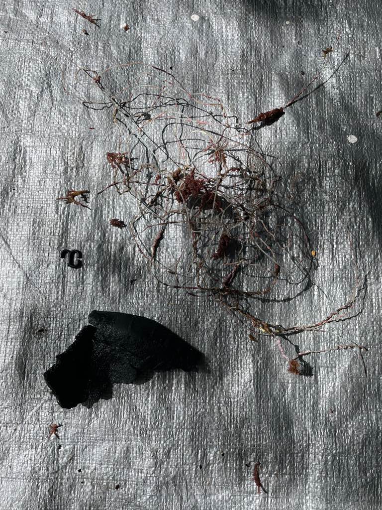
Entangled Help


Use the vertical tabs below to record any entangled animals you found of each type.

Coral Lane

24.541034, -80.319599

coral
Florida Keys Dive Center/FKNMS
Seanna
4
0.00
35
50.00
40.00
estimated
500.00
On
pounds
I have debris data to report
Smooth (wavelets) for waves 0.1 - 0.5 meter high ft2
feet
coral reef
1
United States
Map Help


Dive Location

If you know your survey site coordinates, enter them manually in decimal degrees using WGS84 Map Datum. Use the minus sign for latitudes south of the equator and longitudes west of the Prime Meridian to 180 degrees.

If you do not know your survey site coordinates, click the “Map Location” tab to use the map to zoom into your survey site and drop the pin on the map to fall within your survey dive site in the water (not on land or the beach). Ensure you zoom in as much as possible to ensure data accuracy.
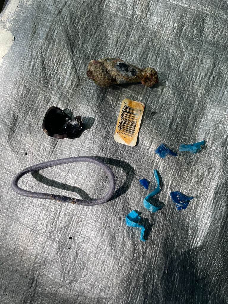
Entangled Help


Use the vertical tabs below to record any entangled animals you found of each type.

Bully

24.532752, -80.329192

coral
Florida Keys Dive Center/FKNMS
Seanna
4
0.00
42
90.00
60.00
estimated
700.00
On
pounds
Our Survey Site was free of debris
Smooth (wavelets) for waves 0.1 - 0.5 meter high ft2
feet
coral reef
United States
Map Help


Dive Location

If you know your survey site coordinates, enter them manually in decimal degrees using WGS84 Map Datum. Use the minus sign for latitudes south of the equator and longitudes west of the Prime Meridian to 180 degrees.

If you do not know your survey site coordinates, click the “Map Location” tab to use the map to zoom into your survey site and drop the pin on the map to fall within your survey dive site in the water (not on land or the beach). Ensure you zoom in as much as possible to ensure data accuracy.

Entangled Help


Use the vertical tabs below to record any entangled animals you found of each type.

The Eagle

24.90874, -80.52561

other
Islamorada Dive Center/FKNMS
Jessi
5
1.00
30
100.00
60.00
estimated
600.00
On
pounds
I have debris data to report
Smooth (wavelets) for waves 0.1 - 0.5 meter high ft2
feet
other
1
United States
Map Help


Dive Location

If you know your survey site coordinates, enter them manually in decimal degrees using WGS84 Map Datum. Use the minus sign for latitudes south of the equator and longitudes west of the Prime Meridian to 180 degrees.

If you do not know your survey site coordinates, click the “Map Location” tab to use the map to zoom into your survey site and drop the pin on the map to fall within your survey dive site in the water (not on land or the beach). Ensure you zoom in as much as possible to ensure data accuracy.

Entangled Help


Use the vertical tabs below to record any entangled animals you found of each type.

Ecosystem Other
Wreck
Dominant Substrate Other
Wreck

Dauin

1
0
0
0

9.1687616207447, 123.24896476648

0
0
0
sand
0
1
0
0
0
No
Sunny
Atomosphere
Keijiro Inada
0
0
0
0
0
0
0
0
0
0
0
0
0
0
0
0
0
0
0
1
0
0
0
0
0
0
0
0
0
0
0
0
0
0
0
0
0.10
50
20.00
10.00
0
estimated
0
0
142.32
0
0
0
0
0
0
On
kilograms
0
I have debris data to report
0
0
0
Calm (glassy to rippled) for waves 0 – 0.1 meter high
0
0
0
0
0
0
0
m2
0
0
meters
coral reef
0
0
0
0
0
0
0
0
0
0
0
0
0
0
0
0
0
0
0
0
0
0
0
0
0
0
0
0
0
Philippines
State\Province
Negros Oriental
City
Dauin
Map Help


Dive Location

If you know your survey site coordinates, enter them manually in decimal degrees using WGS84 Map Datum. Use the minus sign for latitudes south of the equator and longitudes west of the Prime Meridian to 180 degrees.

If you do not know your survey site coordinates, click the “Map Location” tab to use the map to zoom into your survey site and drop the pin on the map to fall within your survey dive site in the water (not on land or the beach). Ensure you zoom in as much as possible to ensure data accuracy.

Entangled Help


Use the vertical tabs below to record any entangled animals you found of each type.

Crystal Bay

23
3

-8.715681, 115.457371

sand
5
2
storm, weather
sunny
Indo Ocean Project
Rinaldi
1
1
1
1
3
6.00
59
7.80
4.00
1
measured
700.00
plastic
household materials
cloth bags
1
On
kilograms
I have debris data to report
Calm (glassy to rippled) for waves 0 – 0.1 meter high
5
m2
meters
coral reef
7
1
2
1
Indonesia
State\Province
Bali
Map Help


Dive Location

If you know your survey site coordinates, enter them manually in decimal degrees using WGS84 Map Datum. Use the minus sign for latitudes south of the equator and longitudes west of the Prime Meridian to 180 degrees.

If you do not know your survey site coordinates, click the “Map Location” tab to use the map to zoom into your survey site and drop the pin on the map to fall within your survey dive site in the water (not on land or the beach). Ensure you zoom in as much as possible to ensure data accuracy.

Entangled Help


Use the vertical tabs below to record any entangled animals you found of each type.

Subscribe to