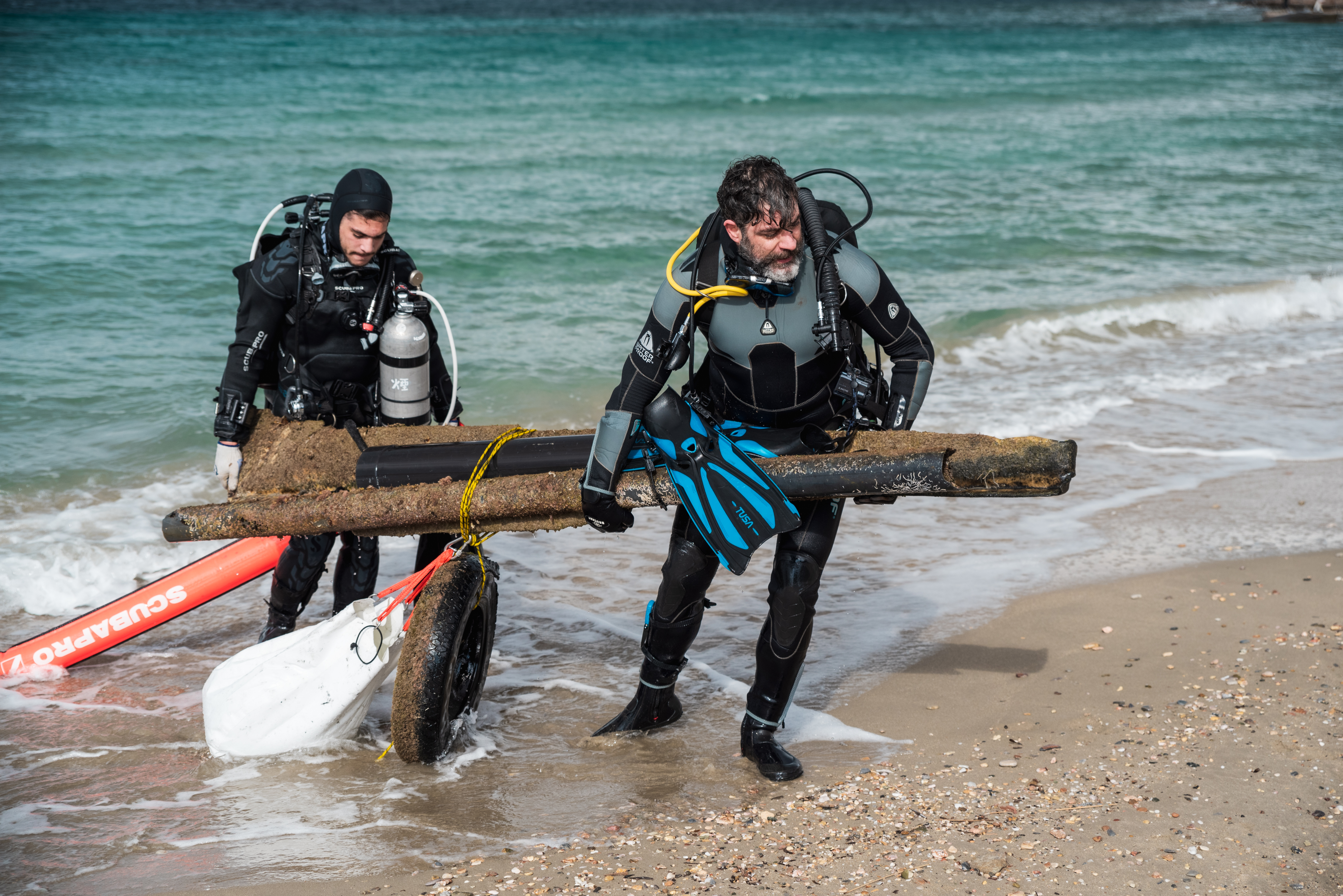
DROC - Three Rocks
3
3
19.773056, -70.514972
4
Having a category for sunglasses would be a good idea for future slates - a regular find in popular tourist sites for snorkeling and party boats!
Vape Pen
Hot, humid, infrequent short rainstorms.
1
1
Sunglasses
Vape pen
Dive Cabarete
Charles Hay
2
1
1
2.00
55
20.00
5.00
estimated
600.00
On
kilograms
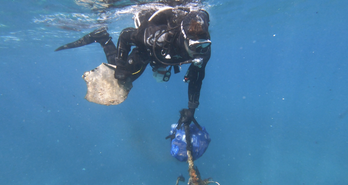
I have debris data to report
Smooth (wavelets) for waves 0.1 - 0.5 meter high
3
m2
2
meters
coral reef
3
2
State\Province
Puerto Plata
City
Sosua
Map Help
Dive Location
If you know your survey site coordinates, enter them manually in decimal degrees using WGS84 Map Datum. Use the minus sign for latitudes south of the equator and longitudes west of the Prime Meridian to 180 degrees.
If you do not know your survey site coordinates, click the “Map Location” tab to use the map to zoom into your survey site and drop the pin on the map to fall within your survey dive site in the water (not on land or the beach). Ensure you zoom in as much as possible to ensure data accuracy.
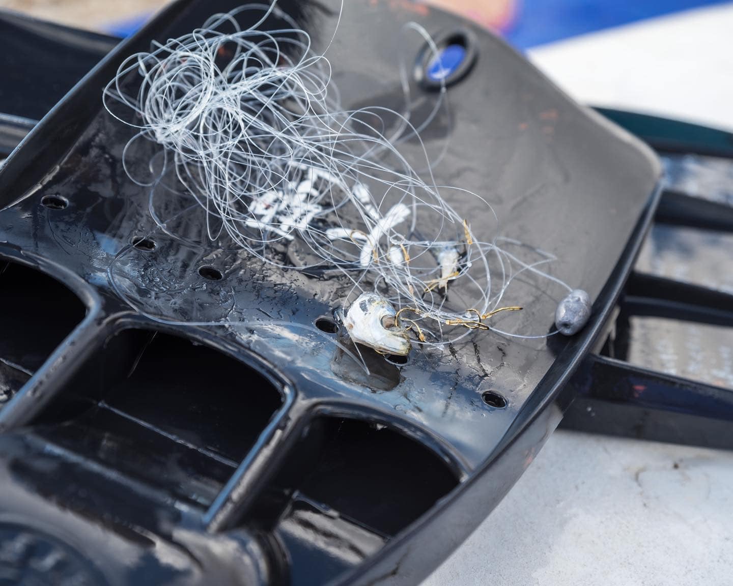
Entangled Help