north Willow beach
3
1
2
rock
35.889304929956, -114.68360452212
no
just another day at Willow beach Drifting
none
amount of clothing
sunny
5
1
1
1
2
3
1
sunglasses
camera
chair
anchor
fishing poles
phones
wallet
Blue Note/ Mana Scuba
Ken wige
2
4
1
1
150.00
90
45.00
18.00
estimated
2
400.00
3
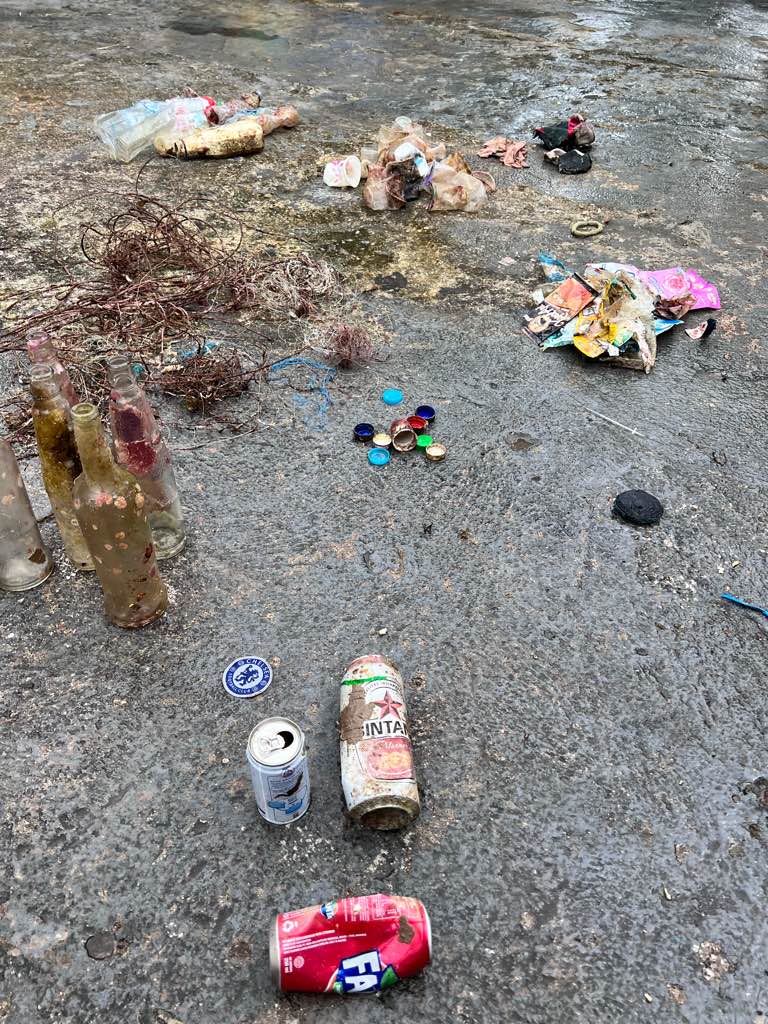
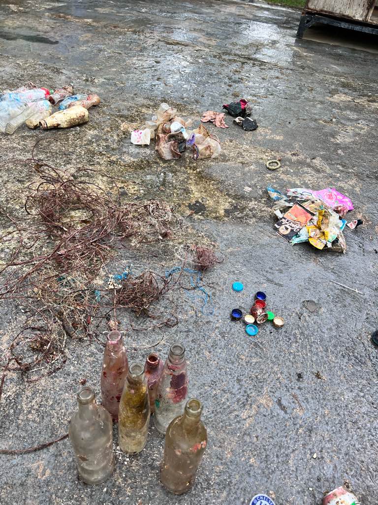
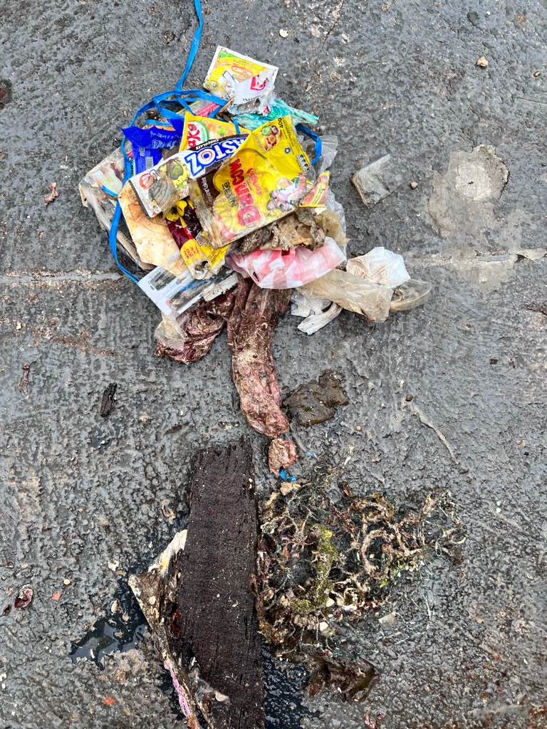
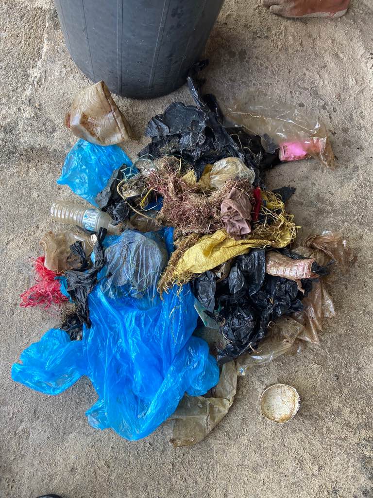
bottles
clothes
cans
On
pounds
I have debris data to report
30
Smooth (wavelets) for waves 0.1 - 0.5 meter high
1
none
1
Dead
duck
10
ft2


2
feet
other
3
12
25
2
10
State\Province
NV
City
las vegas
Map Help
Dive Location
If you know your survey site coordinates, enter them manually in decimal degrees using WGS84 Map Datum. Use the minus sign for latitudes south of the equator and longitudes west of the Prime Meridian to 180 degrees.
If you do not know your survey site coordinates, click the “Map Location” tab to use the map to zoom into your survey site and drop the pin on the map to fall within your survey dive site in the water (not on land or the beach). Ensure you zoom in as much as possible to ensure data accuracy.
Entangled Help
Use the vertical tabs below to record any entangled animals you found of each type.
Ecosystem Other
River