Princess Bay
5
1
sand
3
-41.346520179072, 174.78874521573
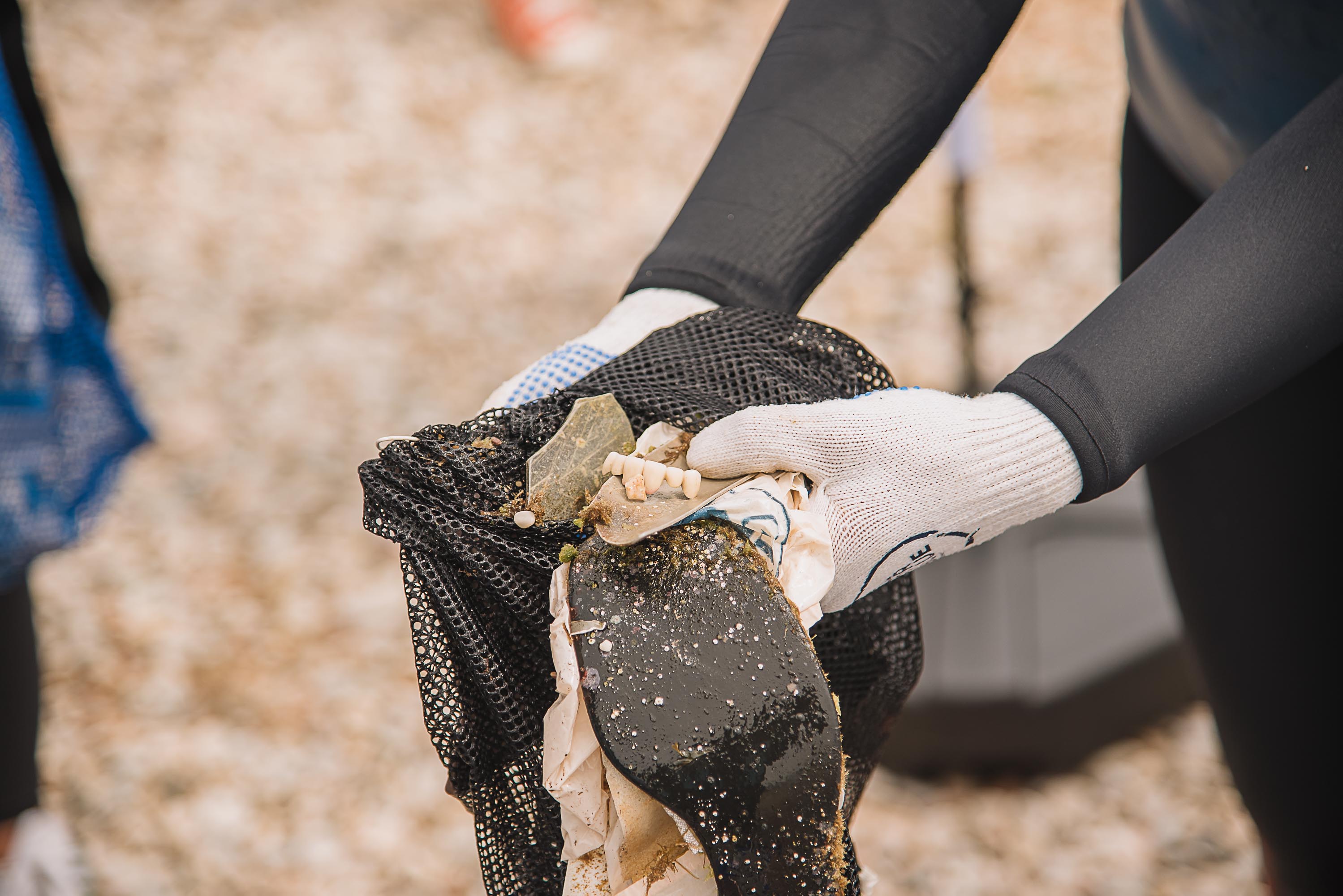
We had collected more metal fragments from the wreck and more golfballs but the metal ripped our mesh bag and it tore near the end of our dive and we lost some.
1 shoe and 1 shoe sole
Northerly winds
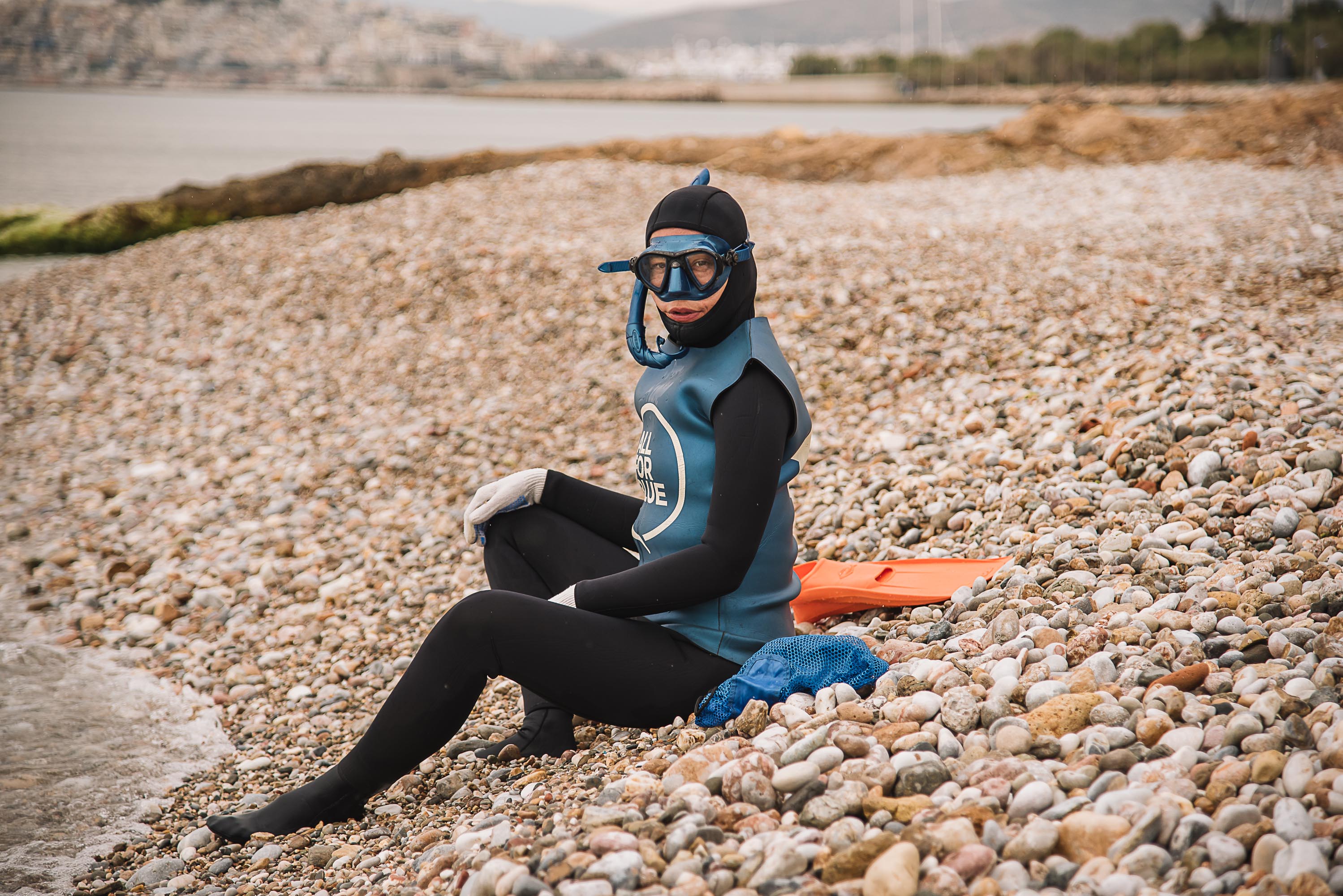
Dive HQ Wellington
Claire Murphy
1
3
1
3
2.00
70
18.00
4.00
estimated
4211.00
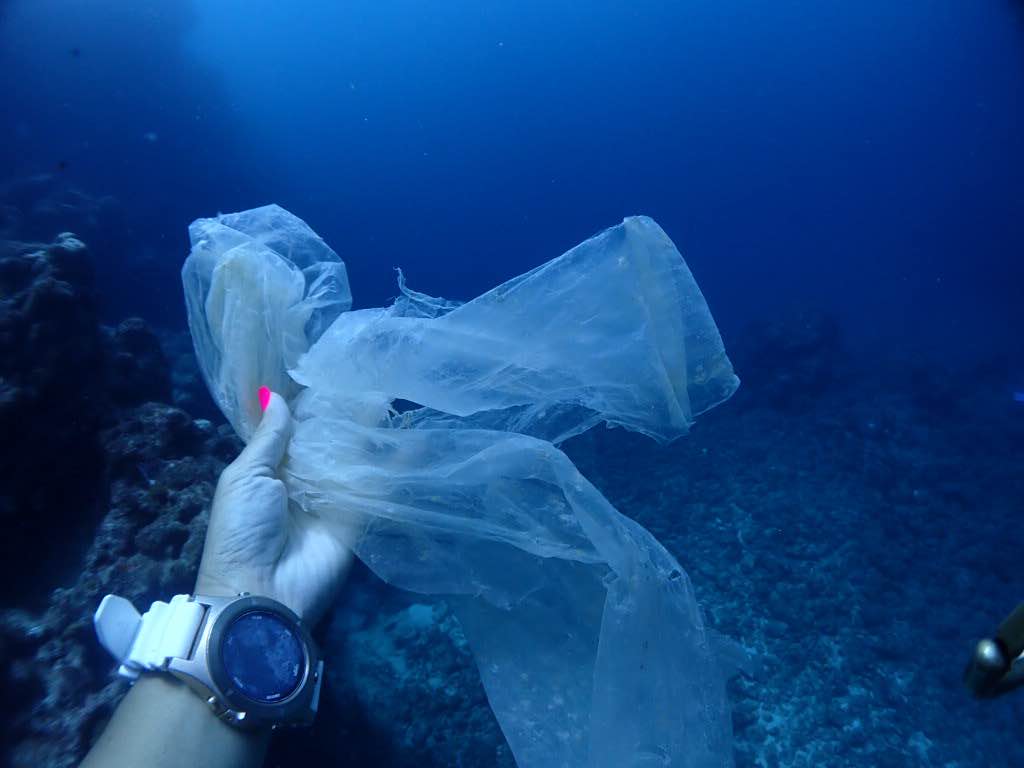
pieces from the wreck washing in
On
kilograms
I have debris data to report
Calm (glassy to rippled) for waves 0 – 0.1 meter high
1
2
m2

meters
rocky reef
7
1
City
Wellington
Map Help
Dive Location
If you know your survey site coordinates, enter them manually in decimal degrees using WGS84 Map Datum. Use the minus sign for latitudes south of the equator and longitudes west of the Prime Meridian to 180 degrees.
If you do not know your survey site coordinates, click the “Map Location” tab to use the map to zoom into your survey site and drop the pin on the map to fall within your survey dive site in the water (not on land or the beach). Ensure you zoom in as much as possible to ensure data accuracy.
Entangled Help