Matthews Reef
1
18.3659508, -68.8488826
1
tour boats going to Isla Saona, Catalina, and surrounding area
table top
sunny, cloudy, windy
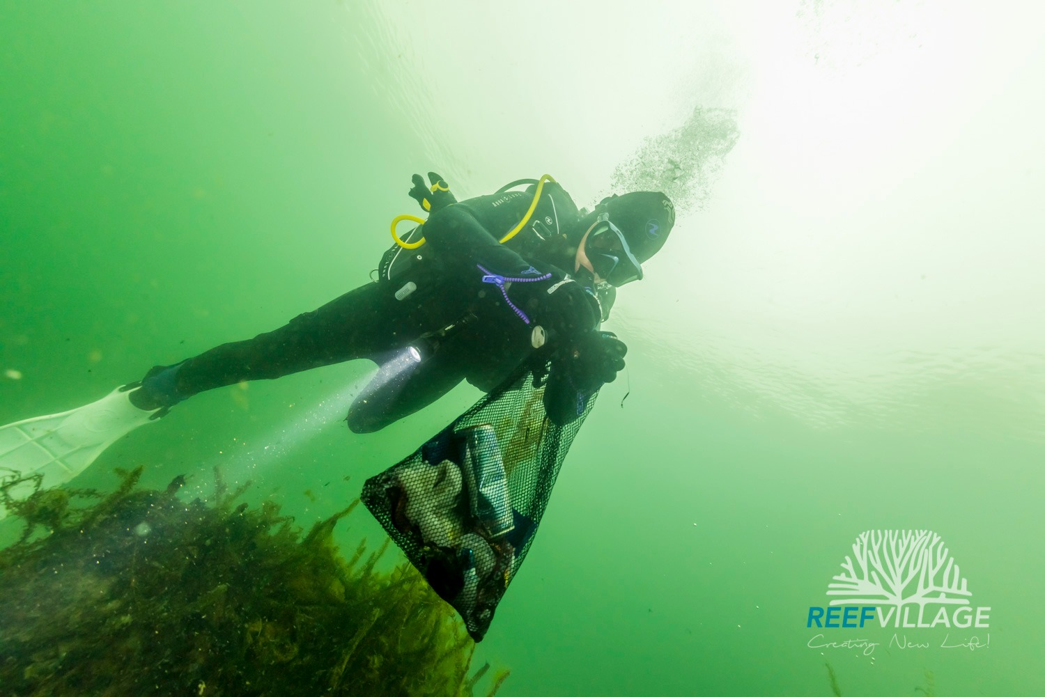
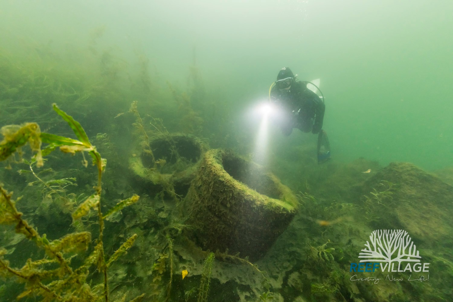
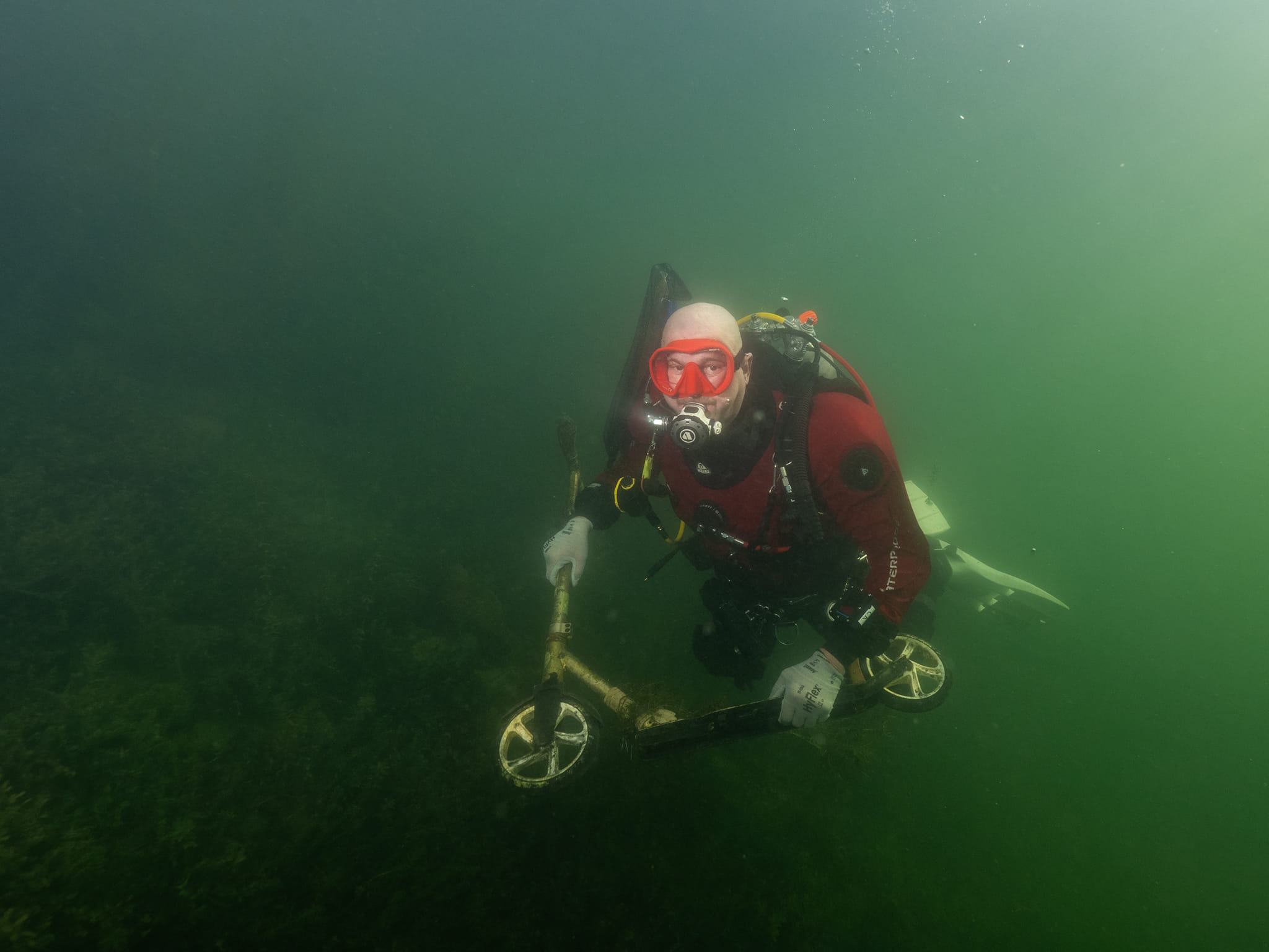
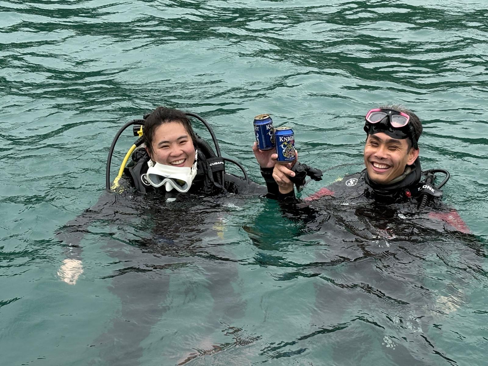
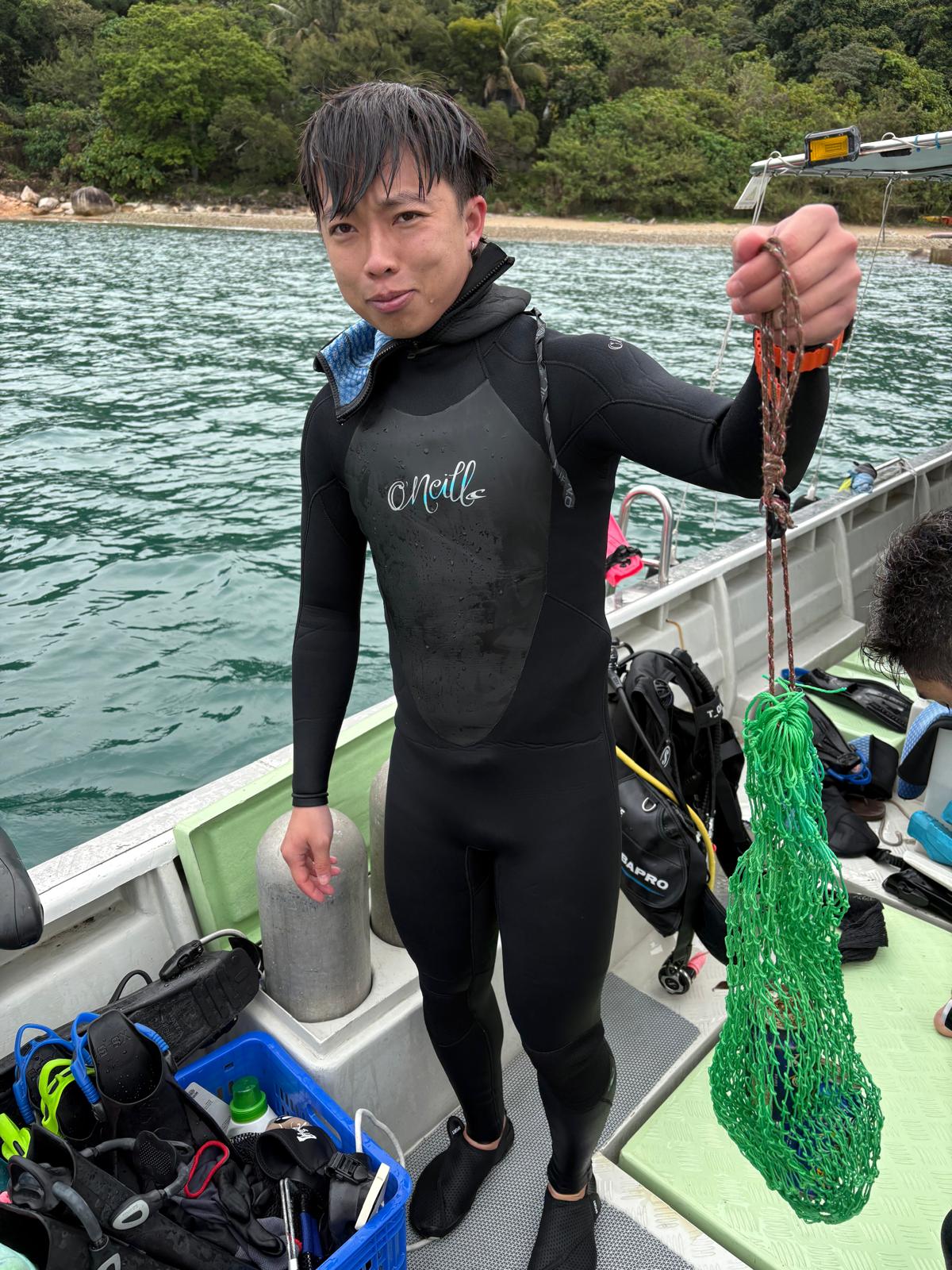
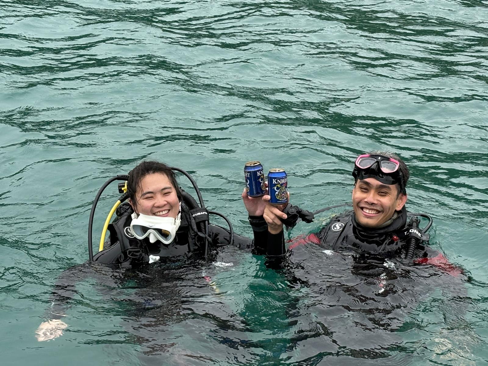
Coral Point Diving
Paula Gallagher
5
5
1
-2
3.00
50
14.90
13.00
estimated
100.00
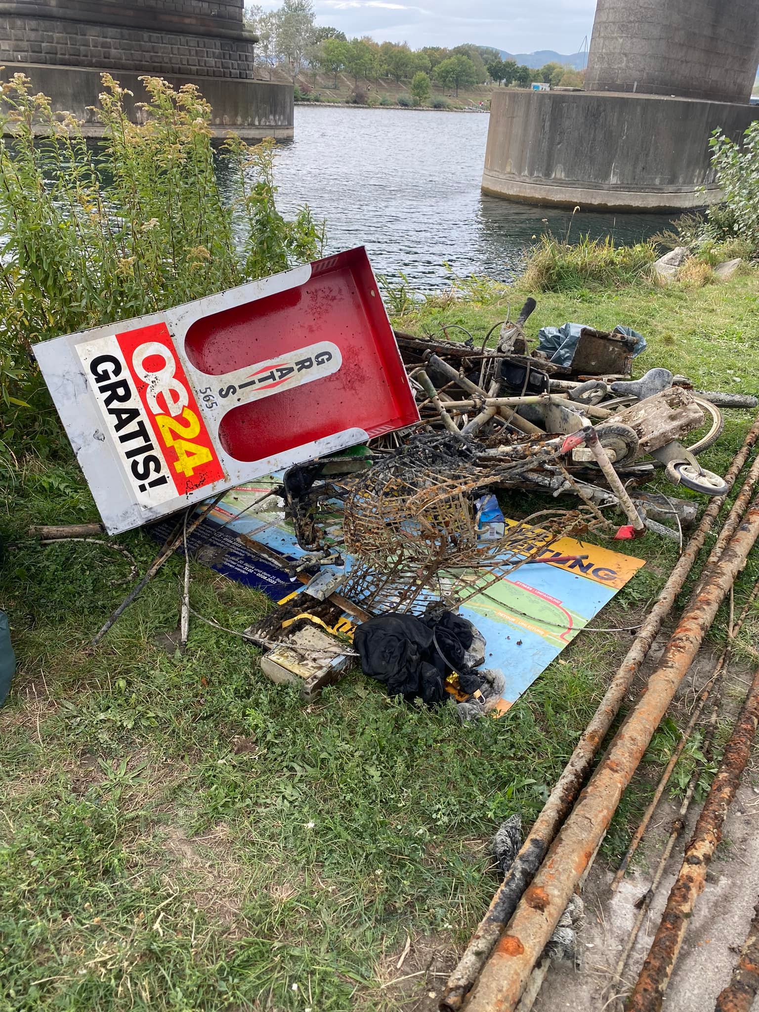
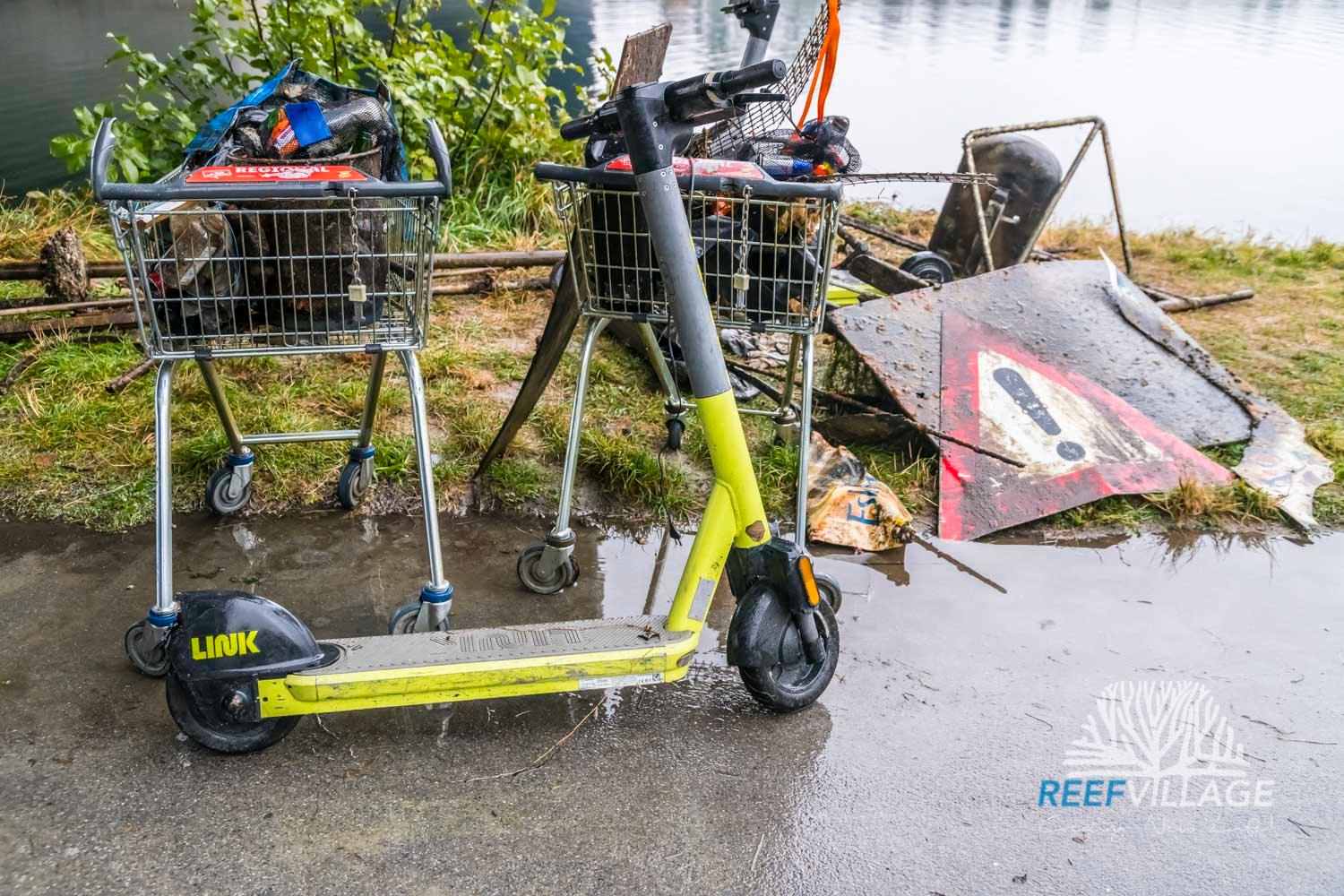
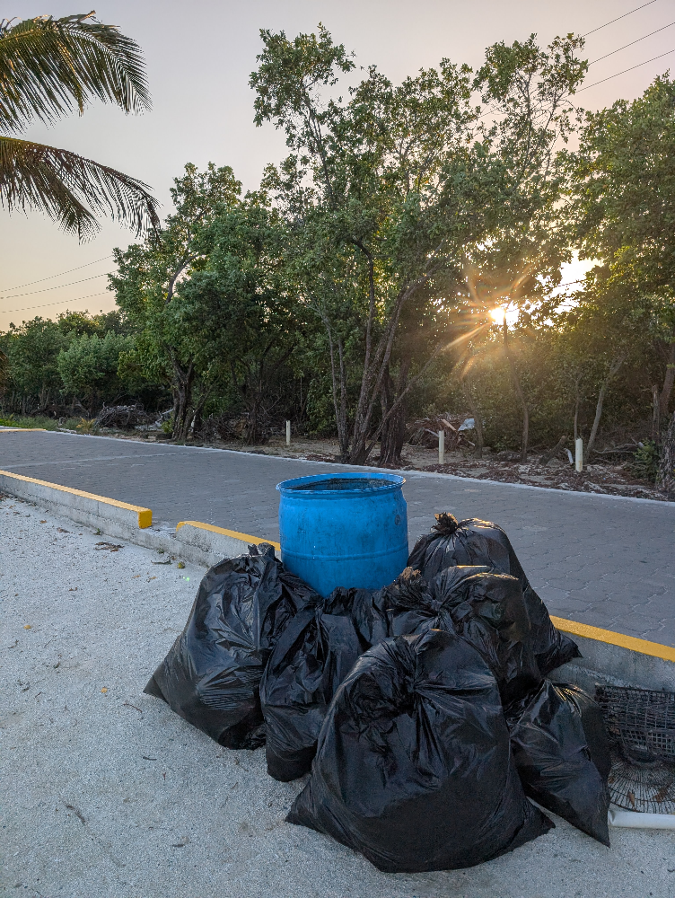
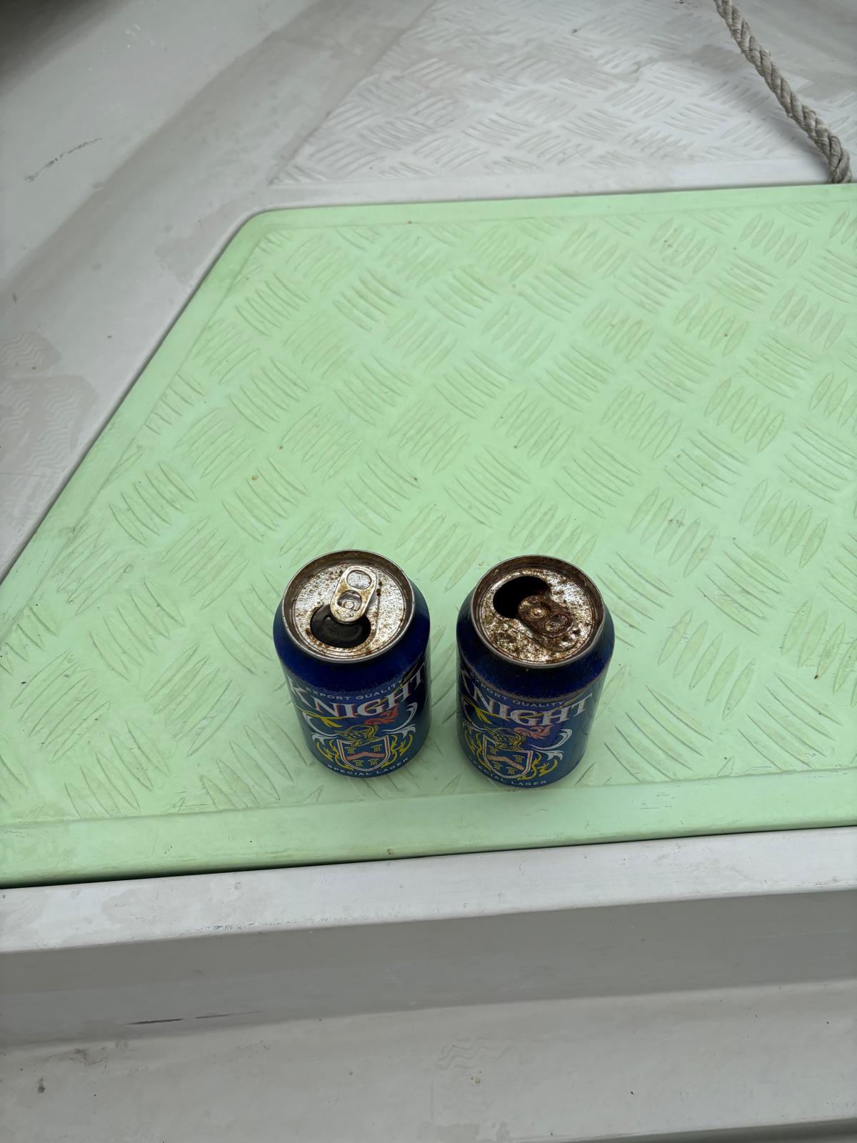
plastic cups - tourism
bottles - tourism
fishing line - we are in a fishing village
On
kilograms
I have debris data to report
1
1
Smooth (wavelets) for waves 0.1 - 0.5 meter high
m2
meters
coral reef
1
State\Province
La Altagracia
City
Bayahibe
Map Help
Dive Location
If you know your survey site coordinates, enter them manually in decimal degrees using WGS84 Map Datum. Use the minus sign for latitudes south of the equator and longitudes west of the Prime Meridian to 180 degrees.
If you do not know your survey site coordinates, click the “Map Location” tab to use the map to zoom into your survey site and drop the pin on the map to fall within your survey dive site in the water (not on land or the beach). Ensure you zoom in as much as possible to ensure data accuracy.
Entangled Help