Korfos Beach Mykonos
20
1
37.427043, 25.3228915
10
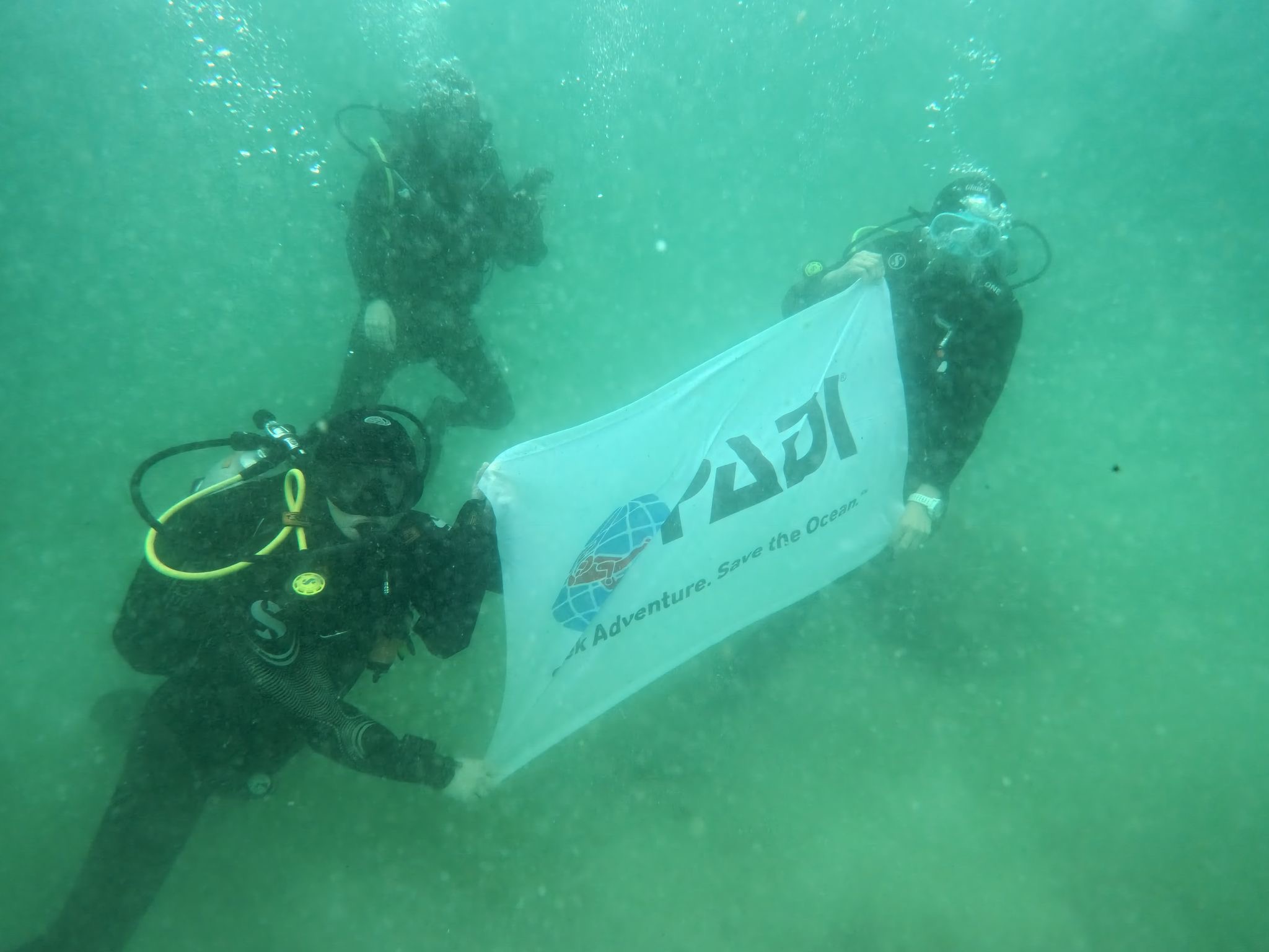
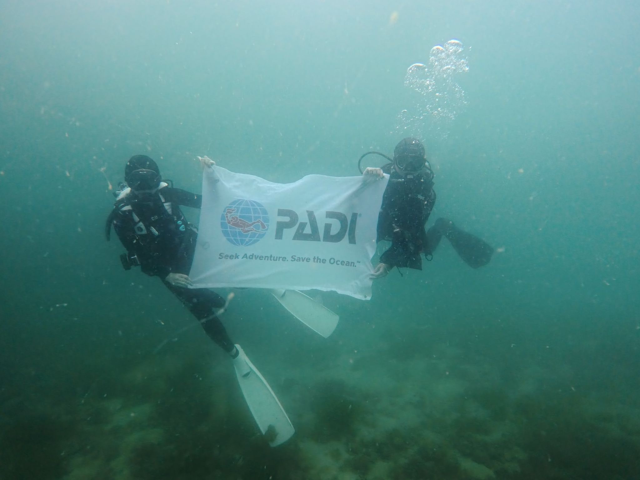
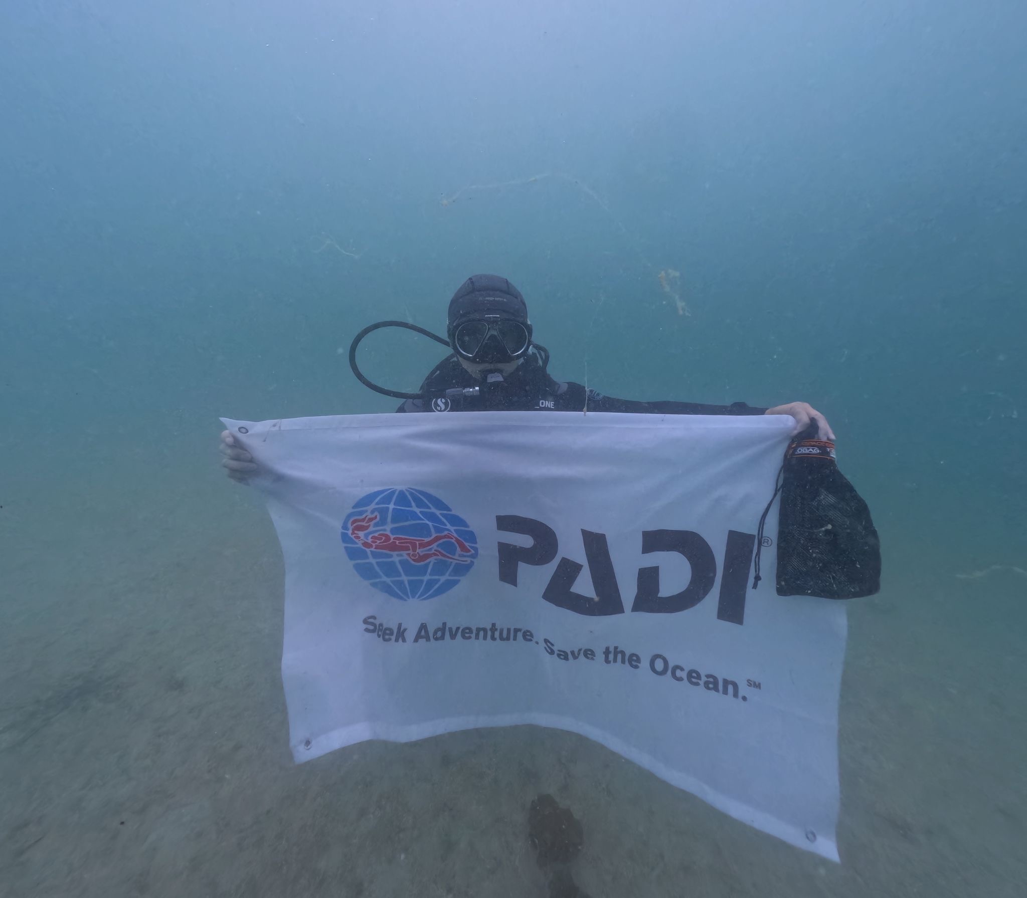
All For Blue marked the launch of the Keep Mykonos Blue program with two educational seminars and a beach and underwater cleanup. The program is carried out in collaboration with the Municipality of Mykonos and the Friends of Mykonos organization, with the support of the Ministry of Culture and the Cyclades Preservation Fund, under the auspices of the World Underwater Federation (CMAS) and with the approval of the Ministry of Education.
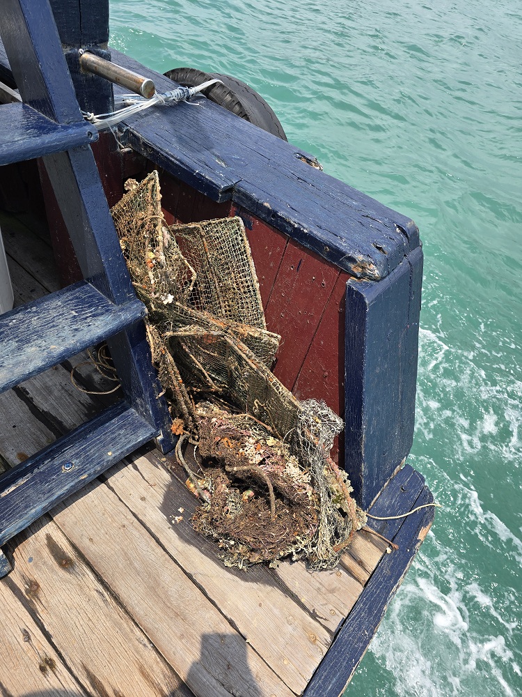
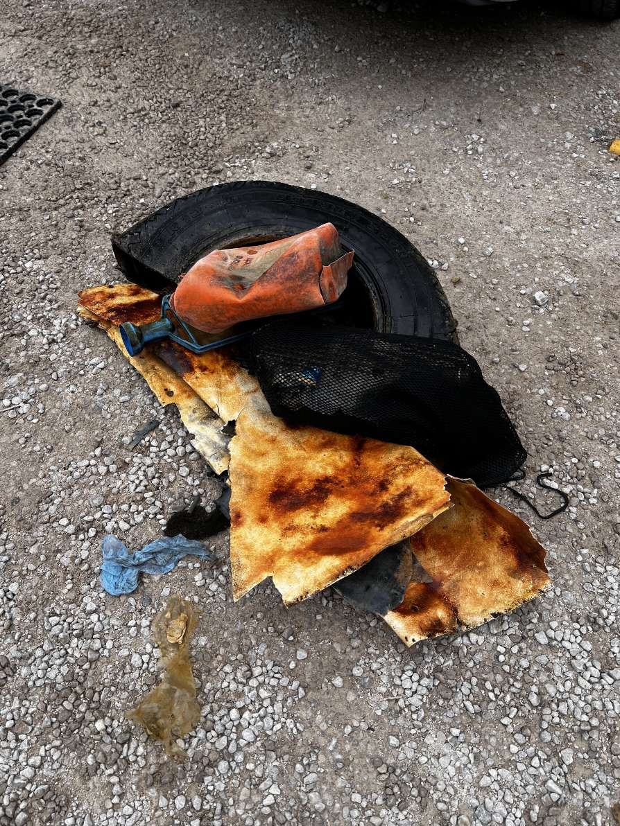
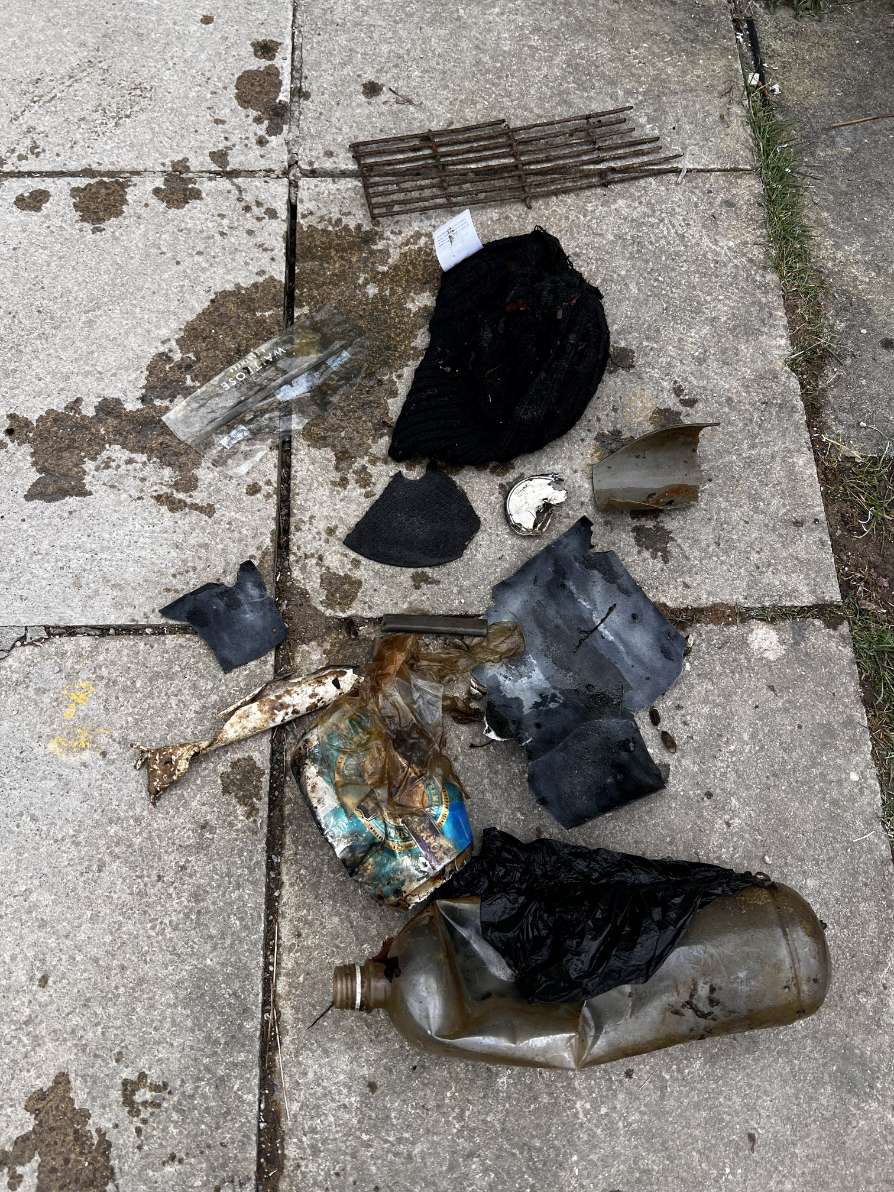
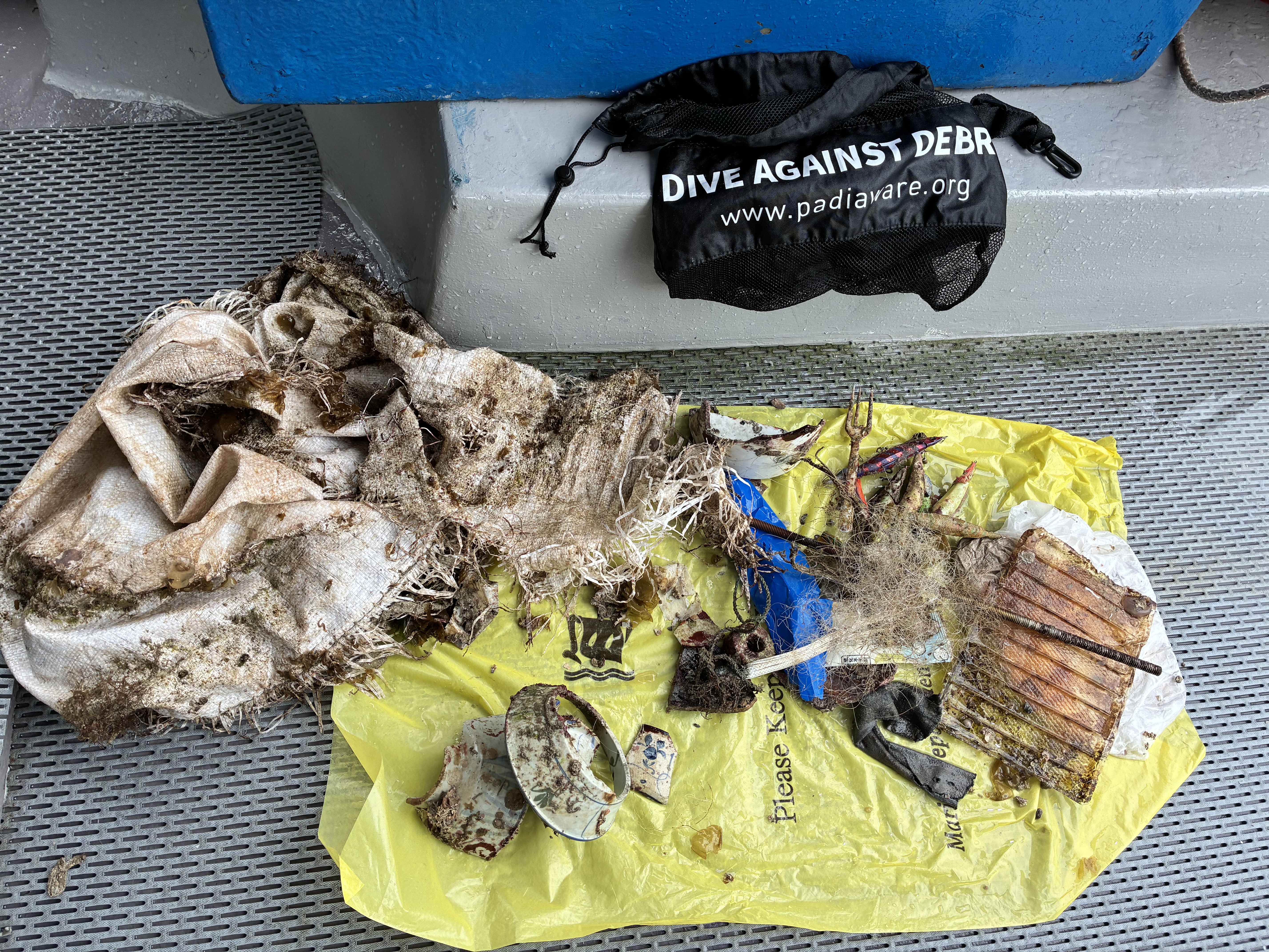
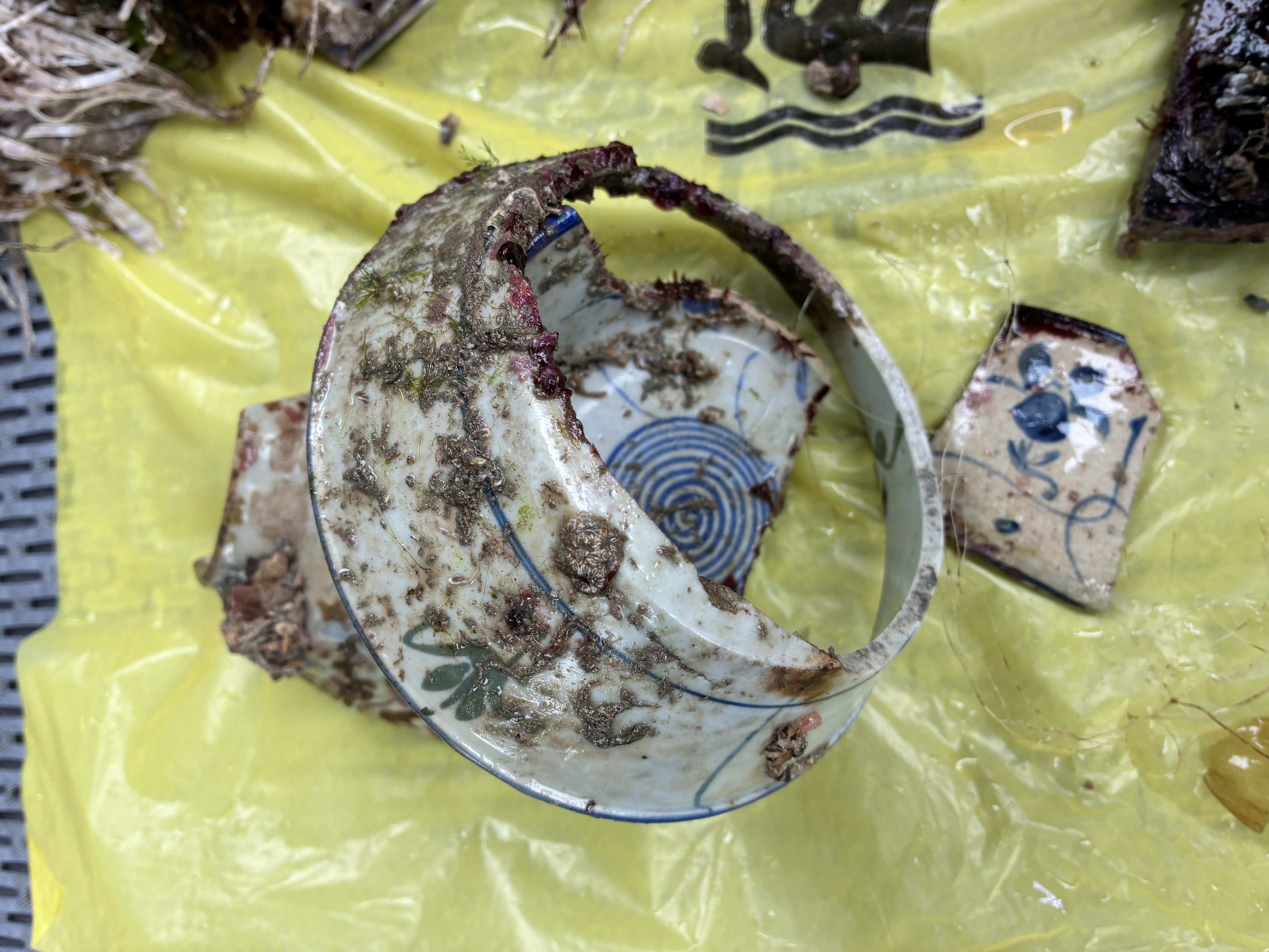
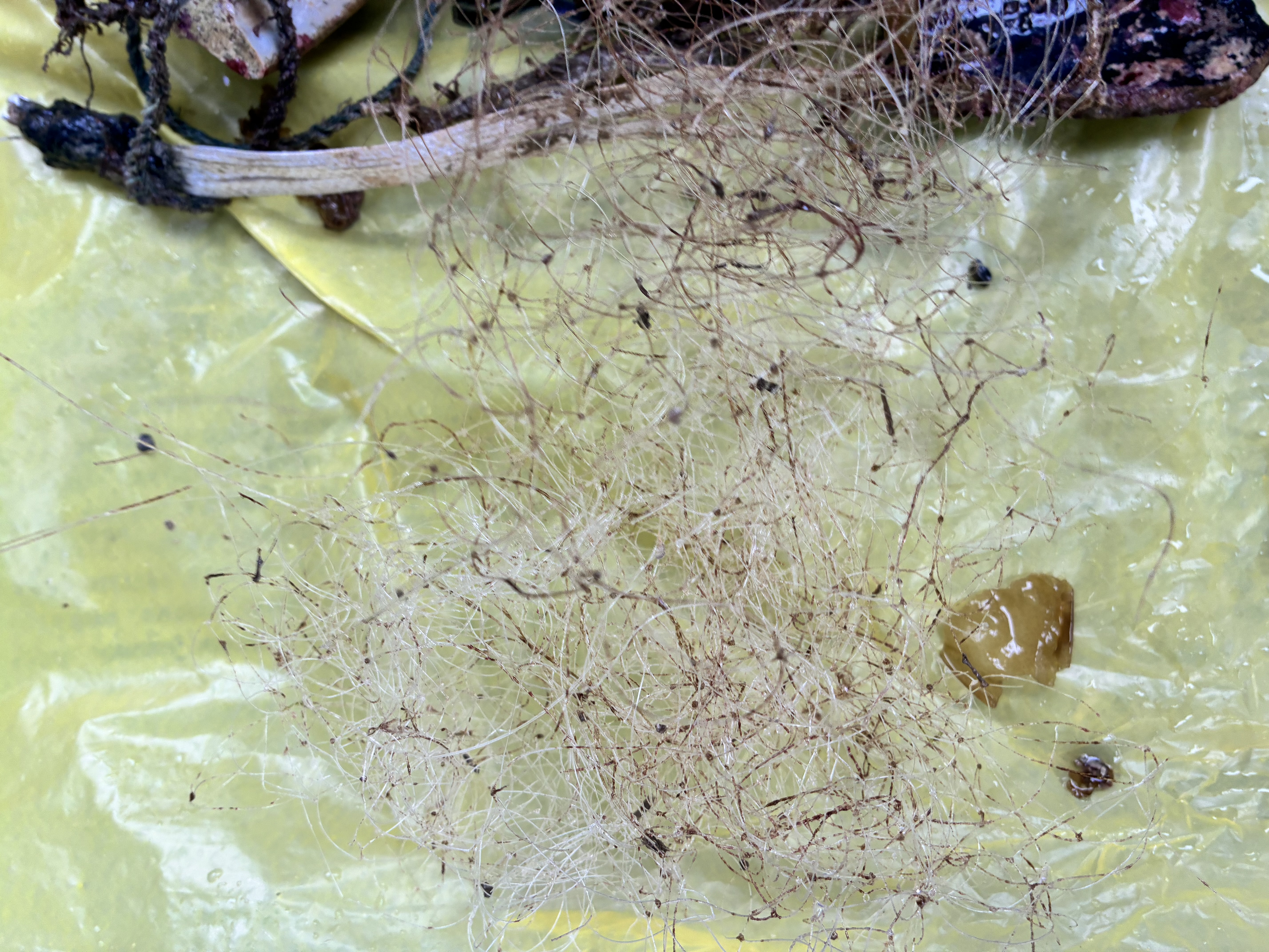
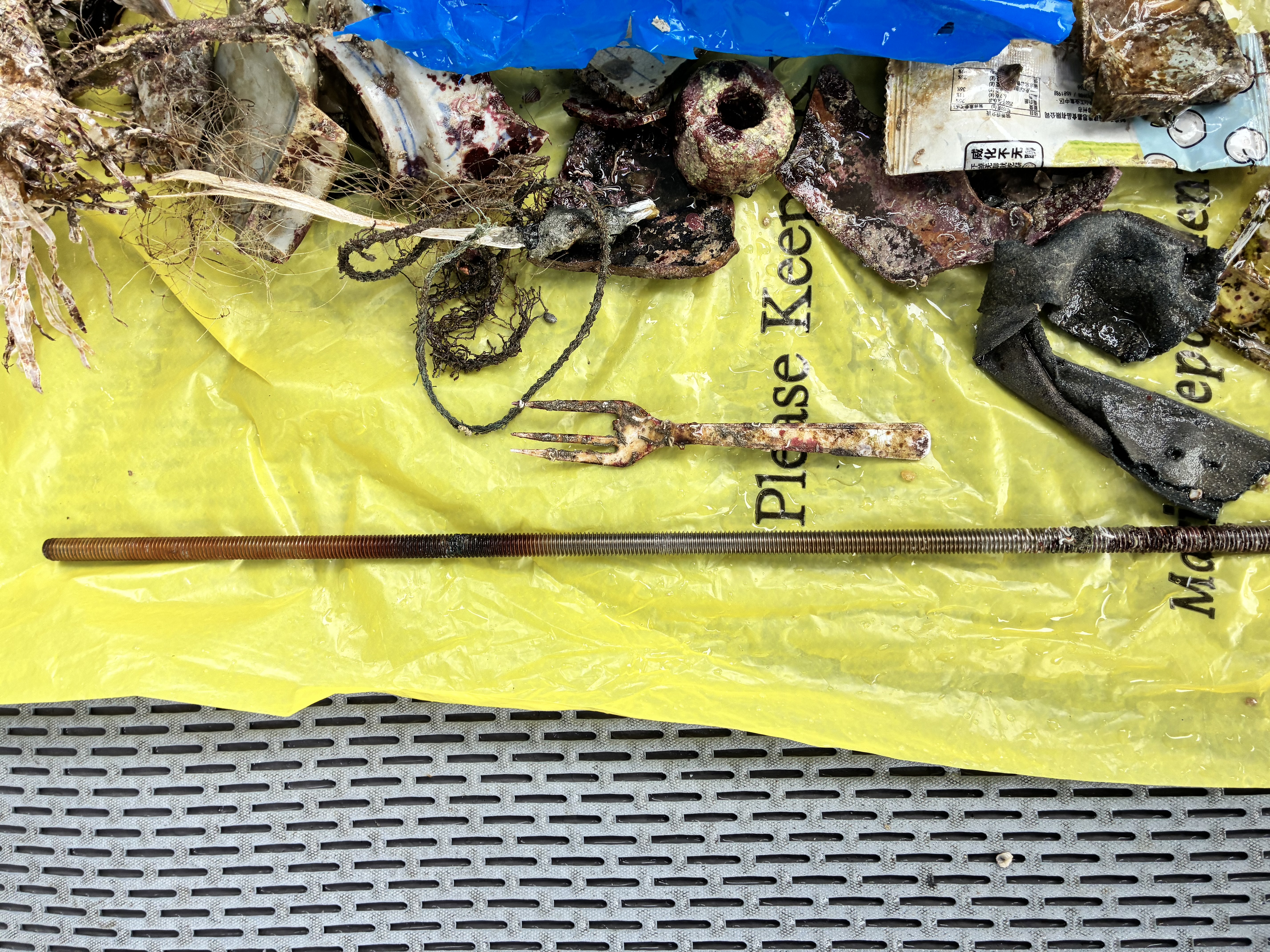
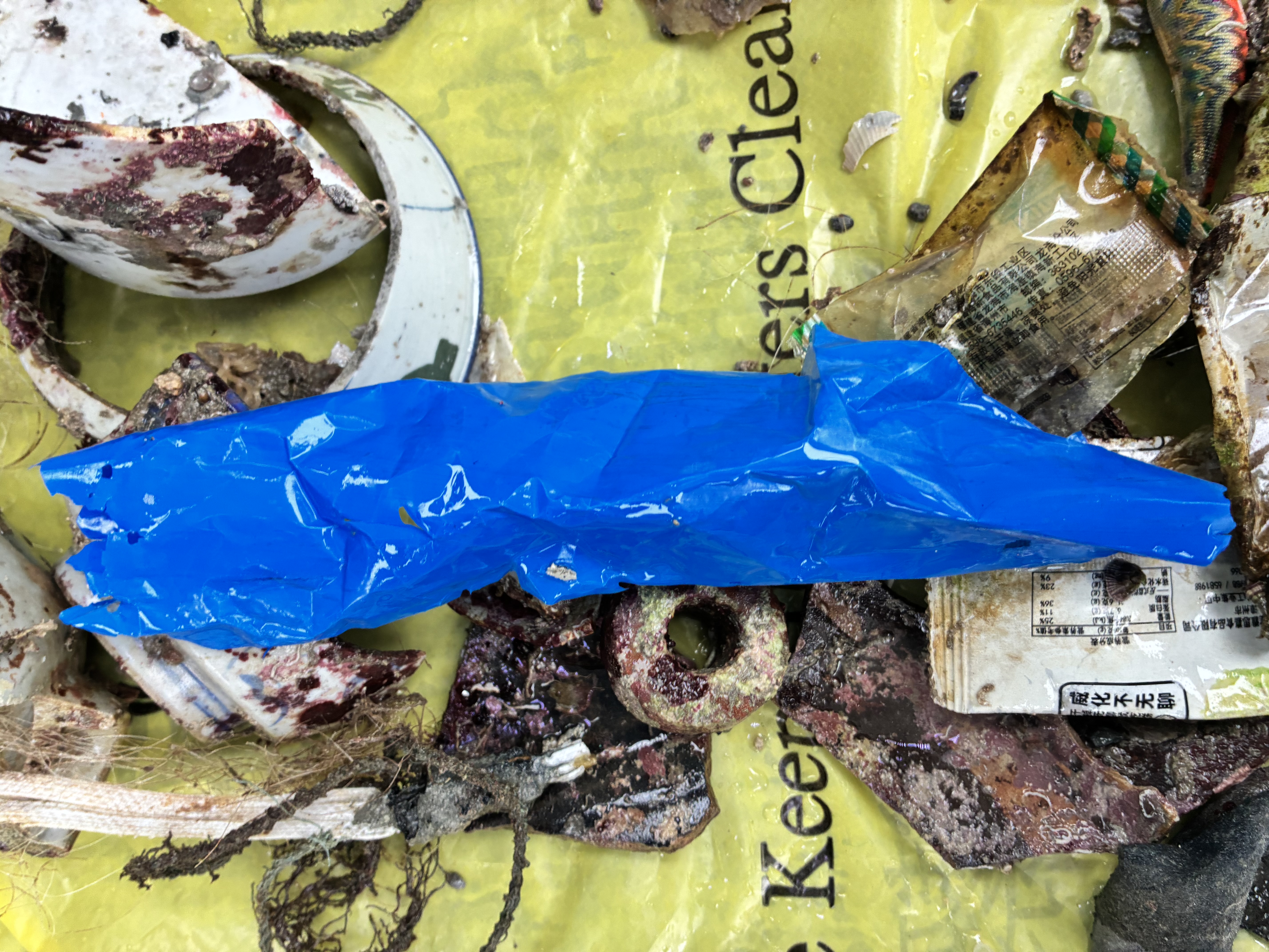
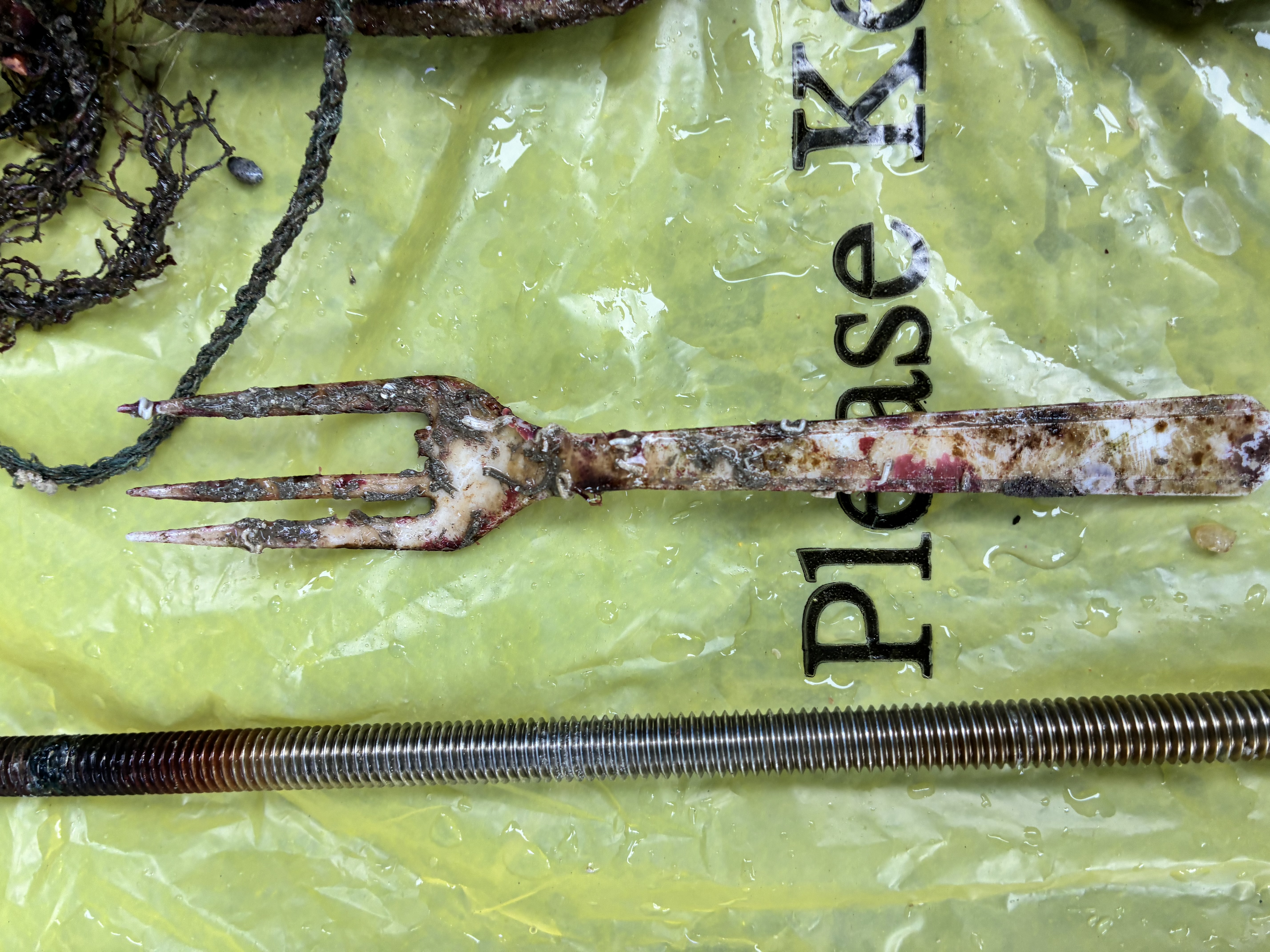
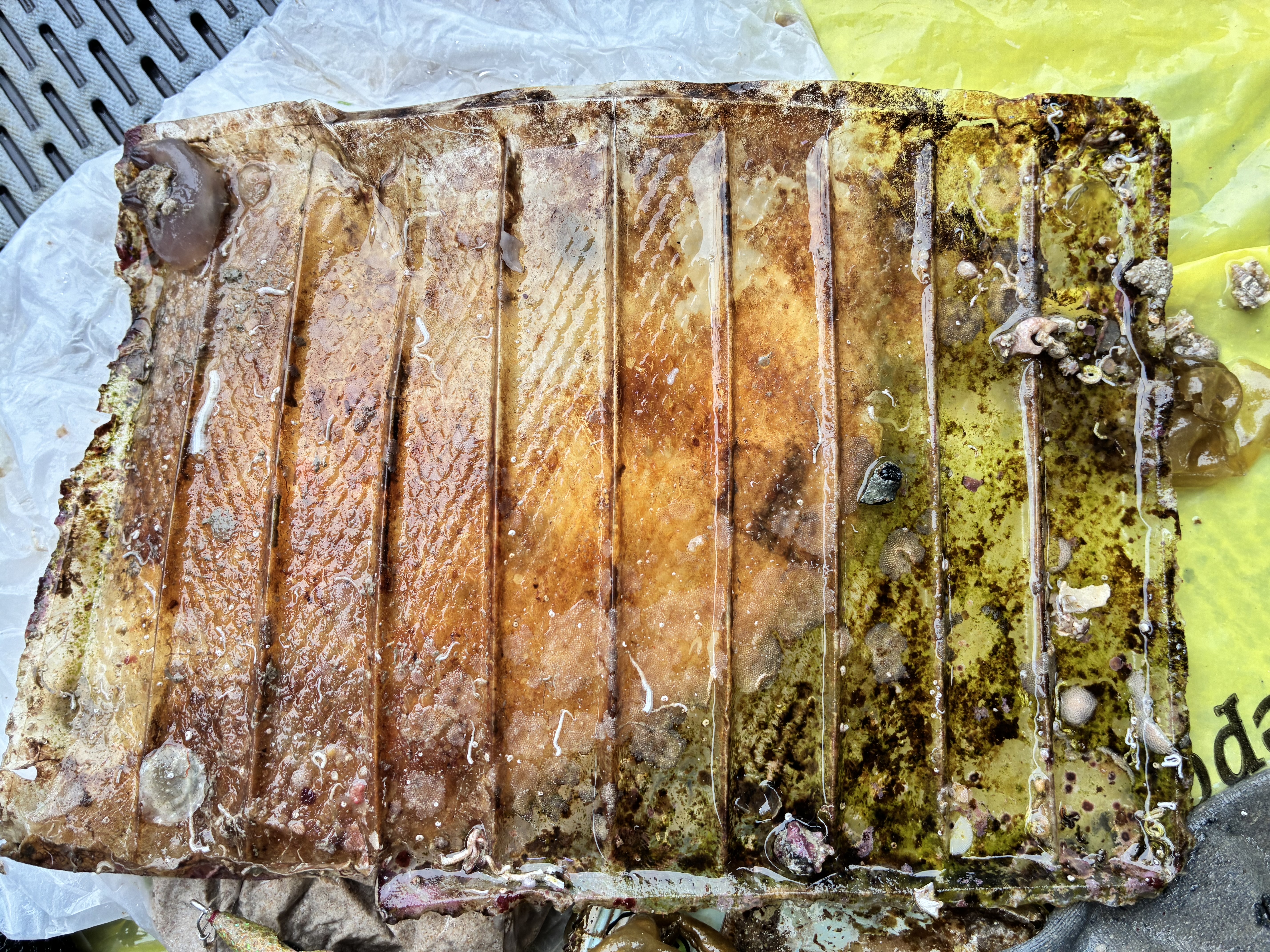
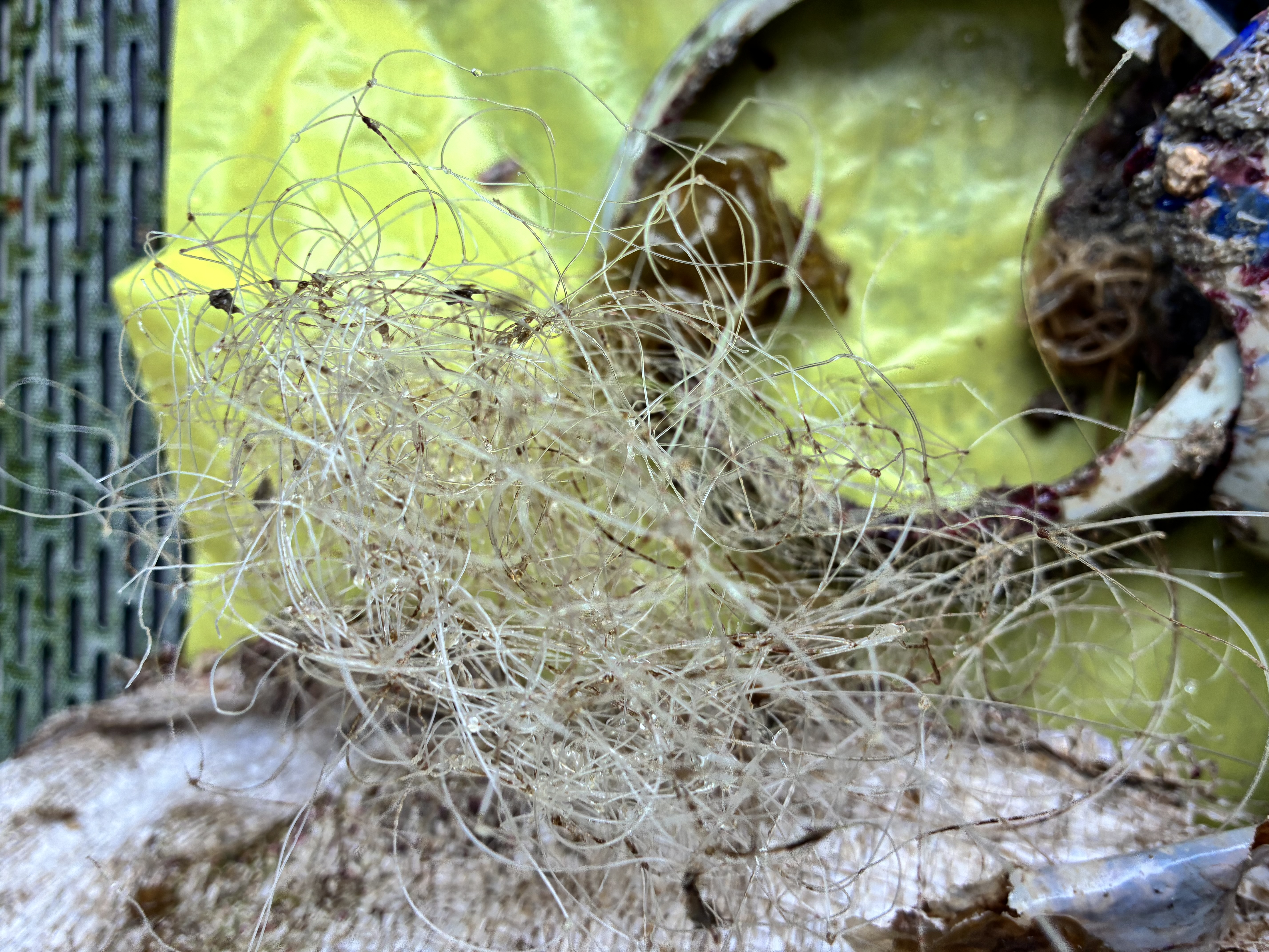
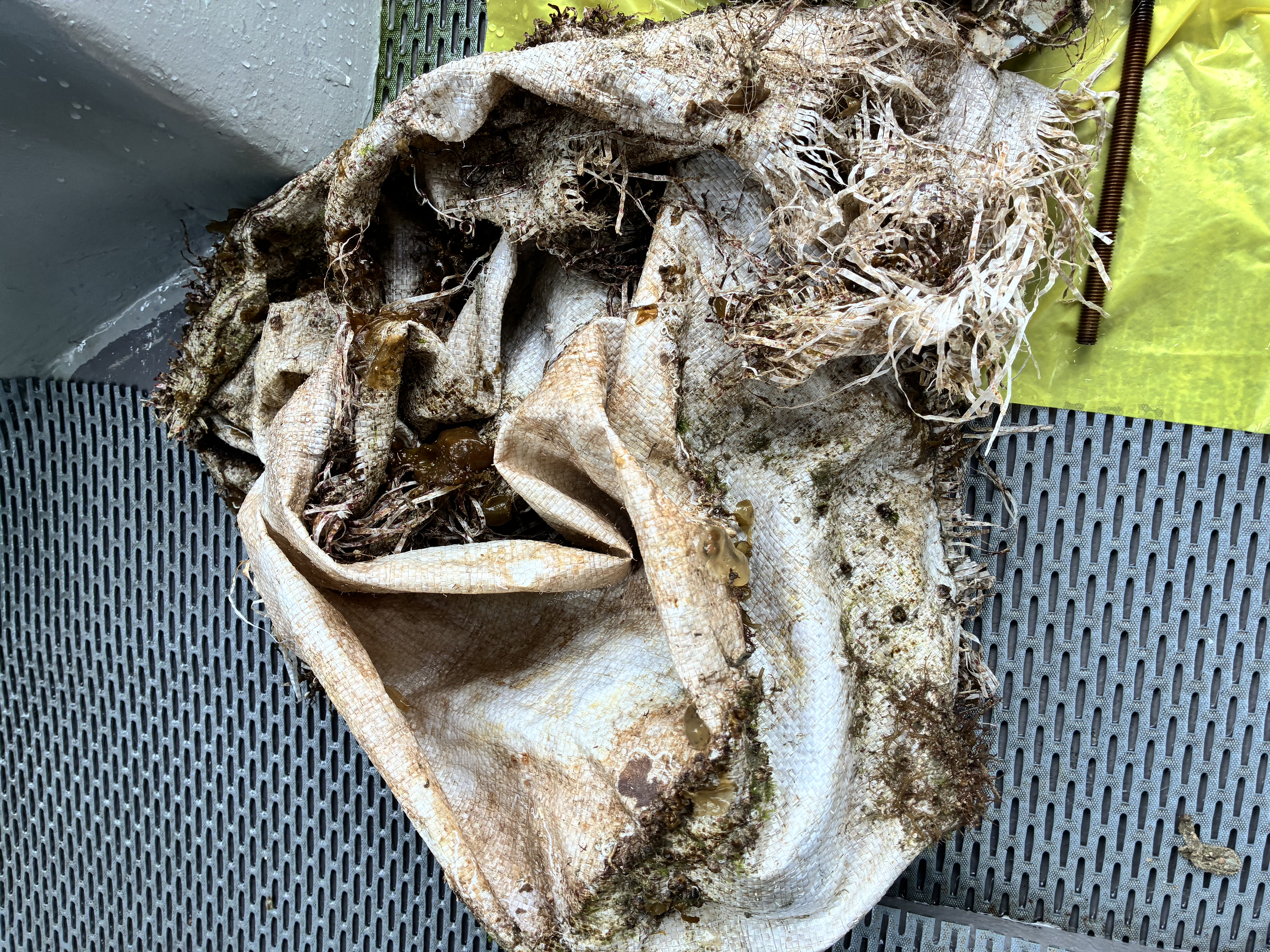
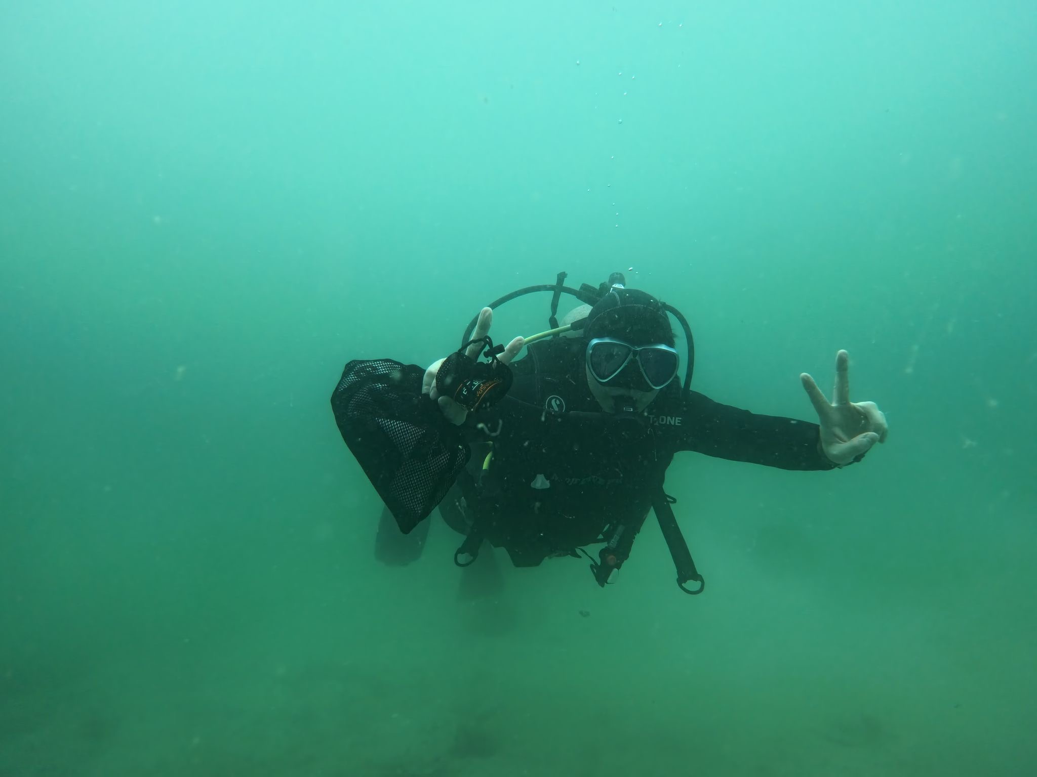
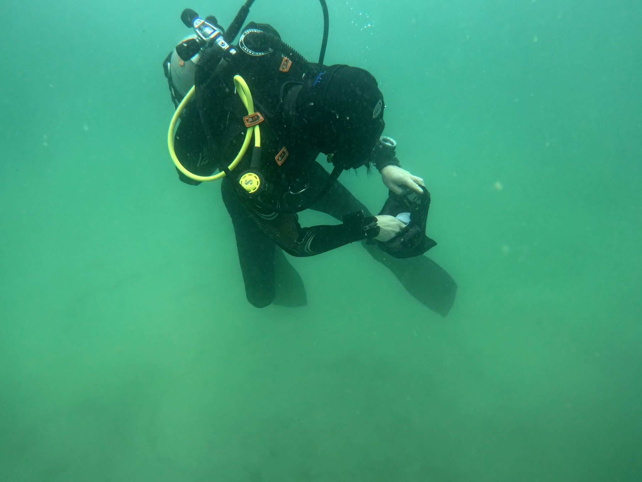
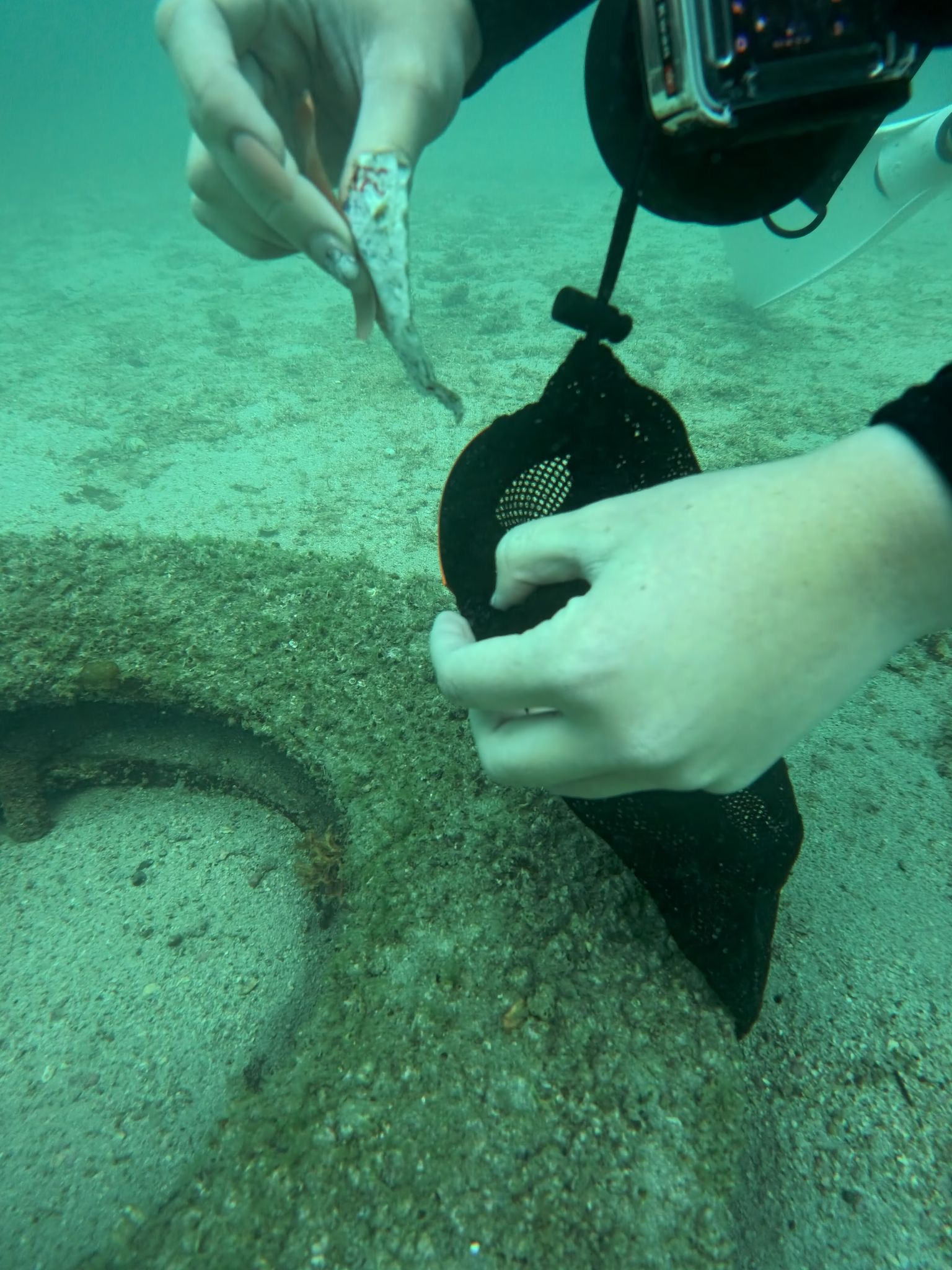
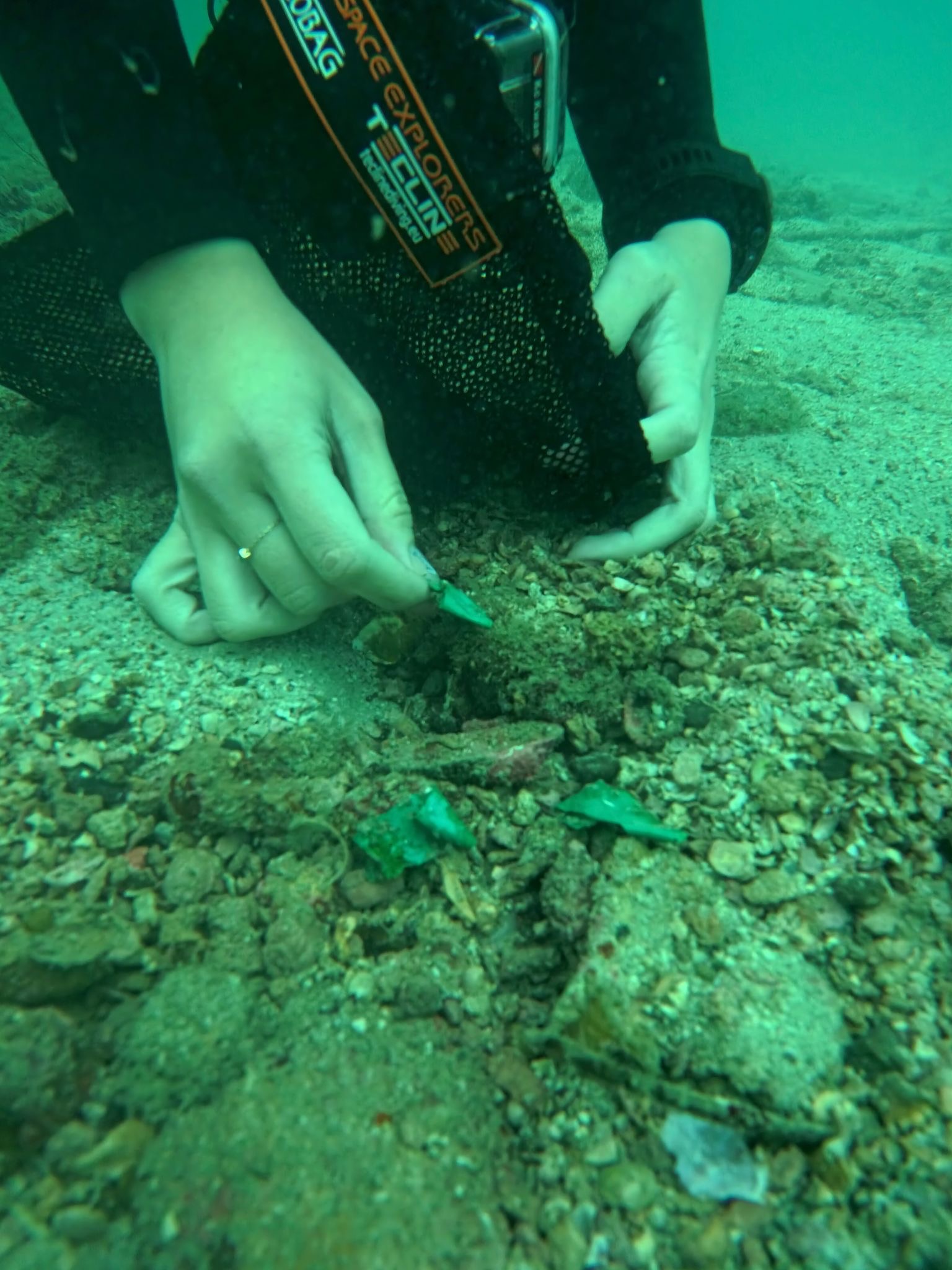
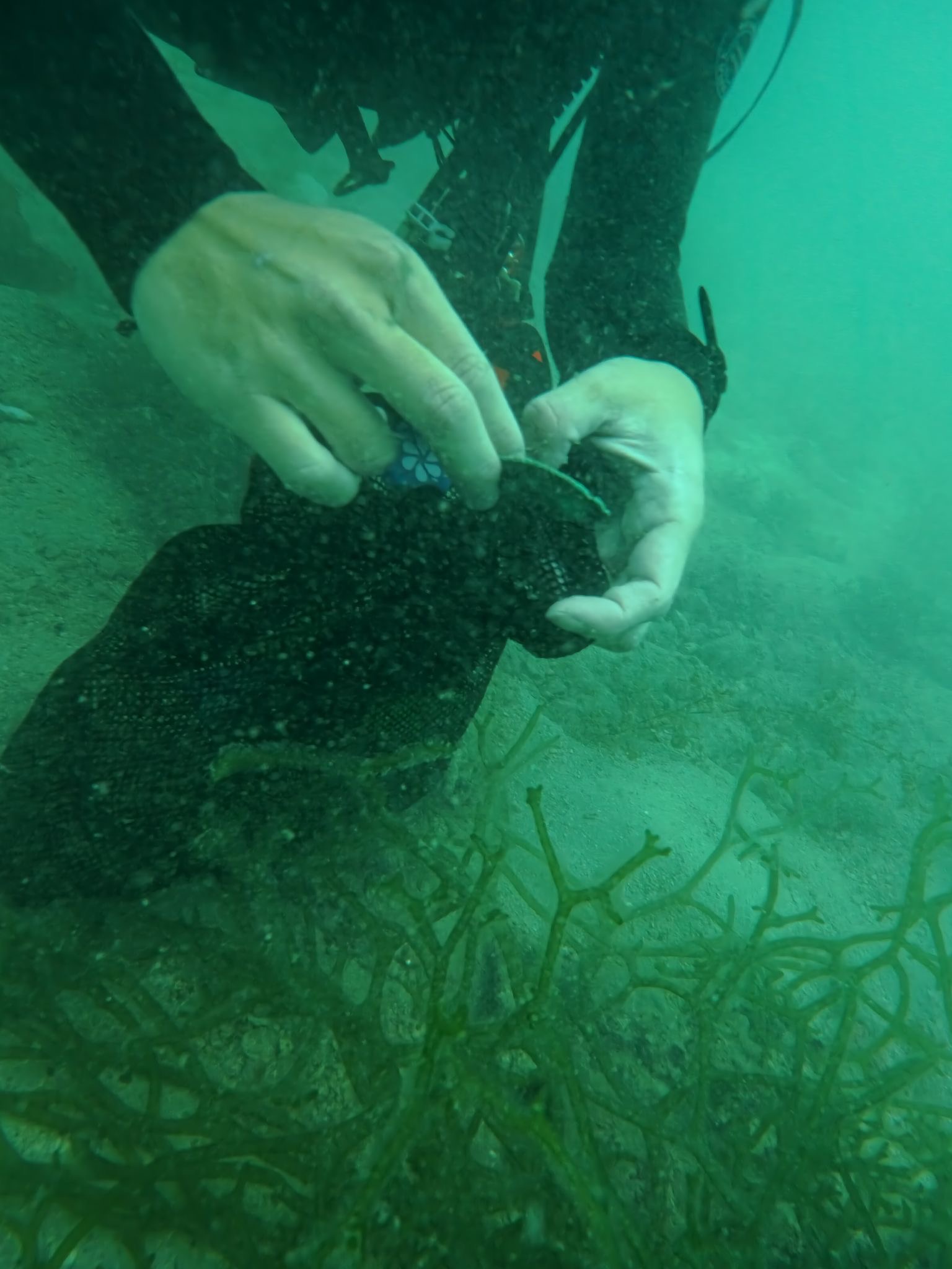
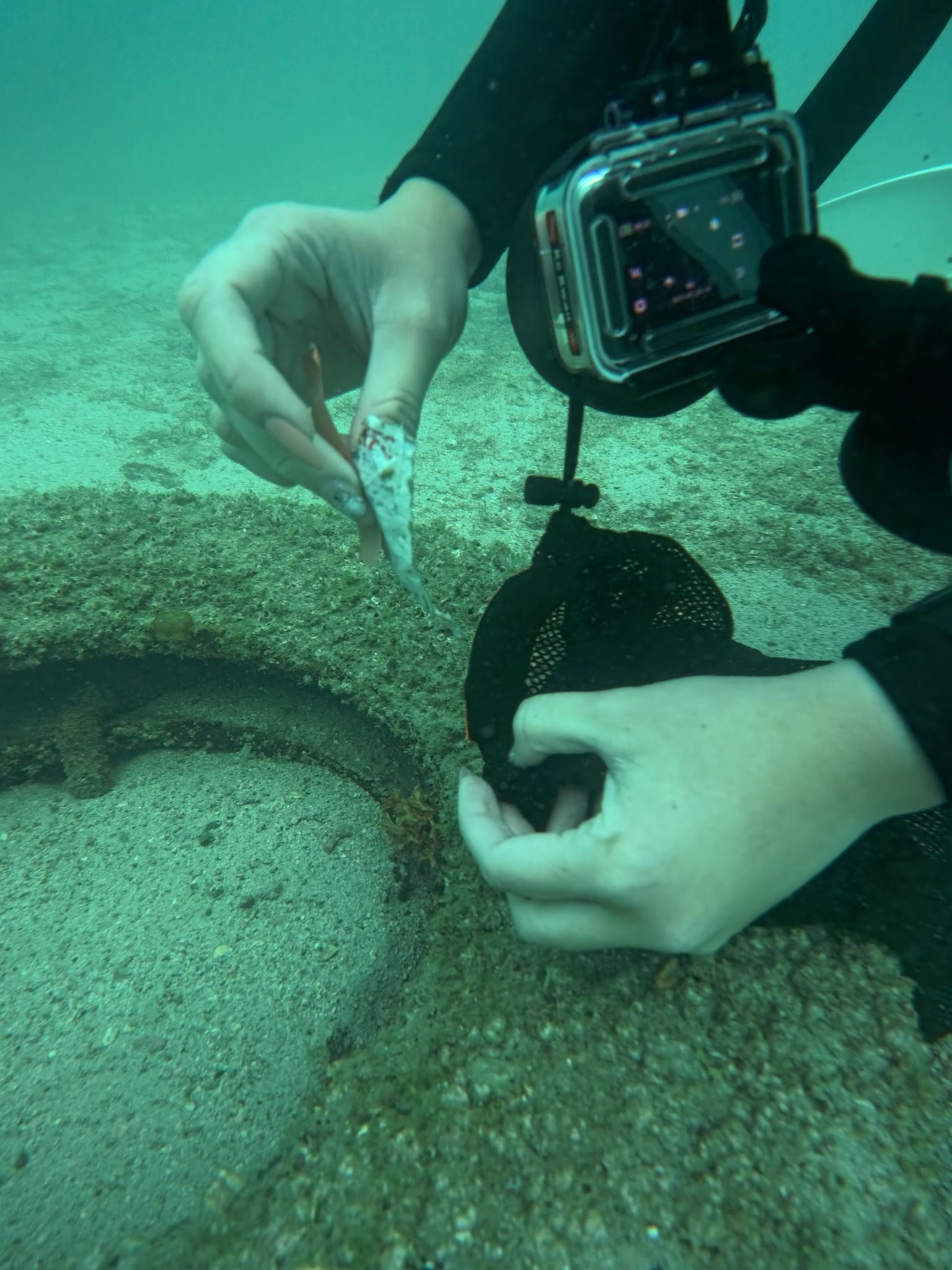
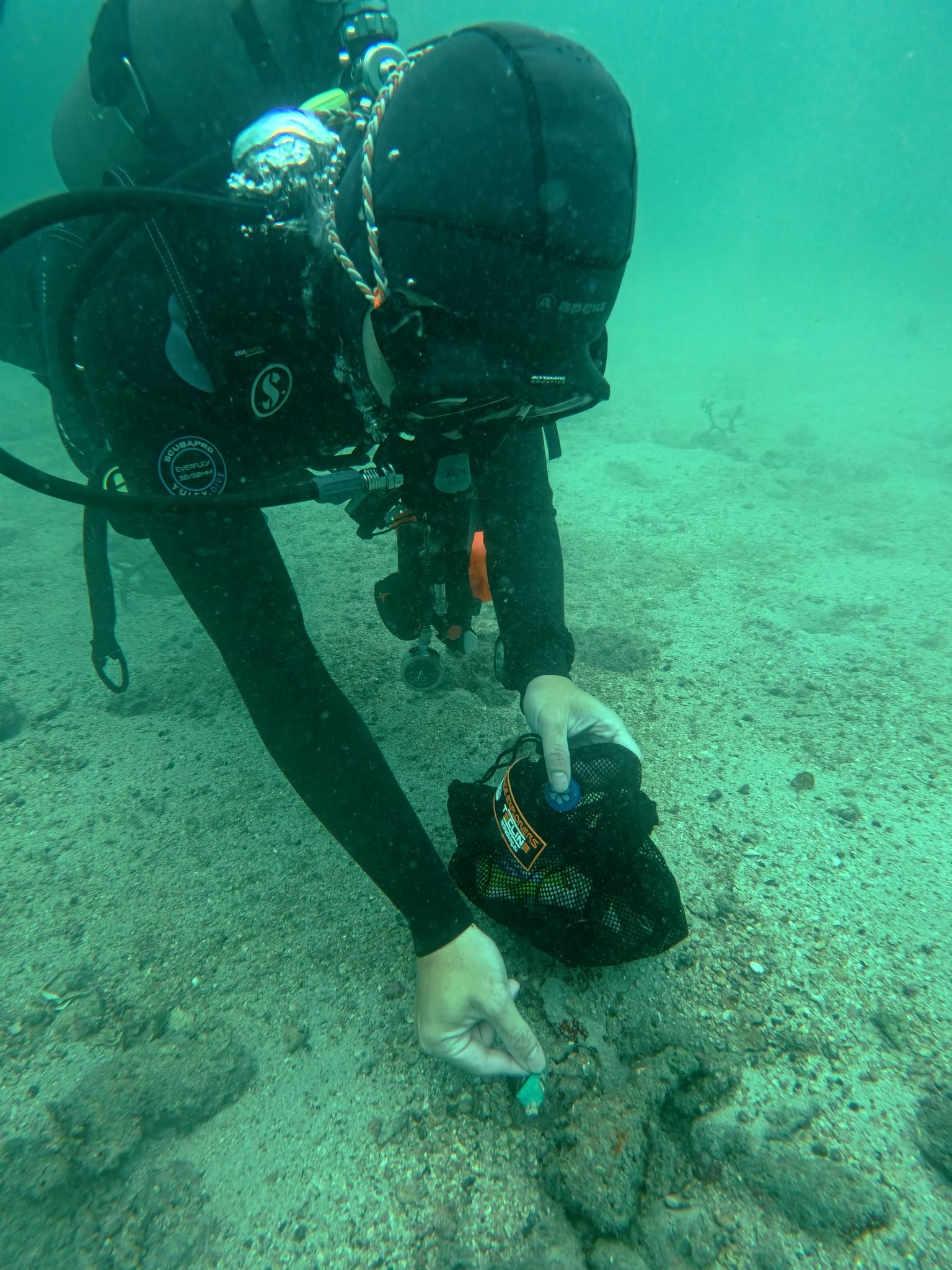
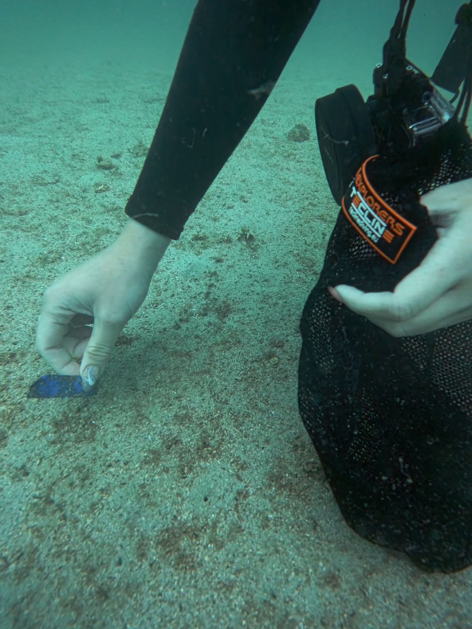
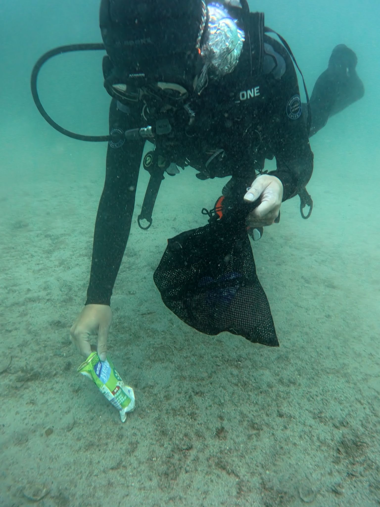
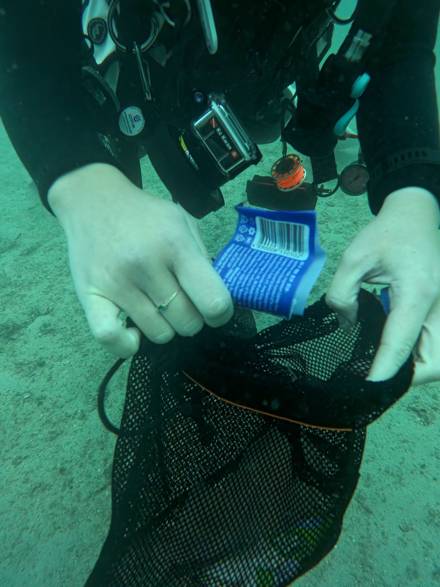
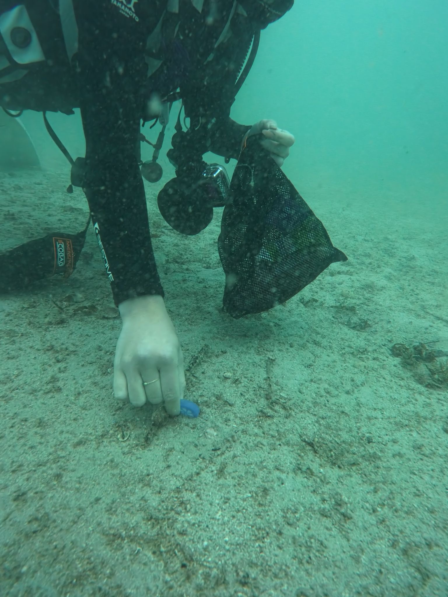
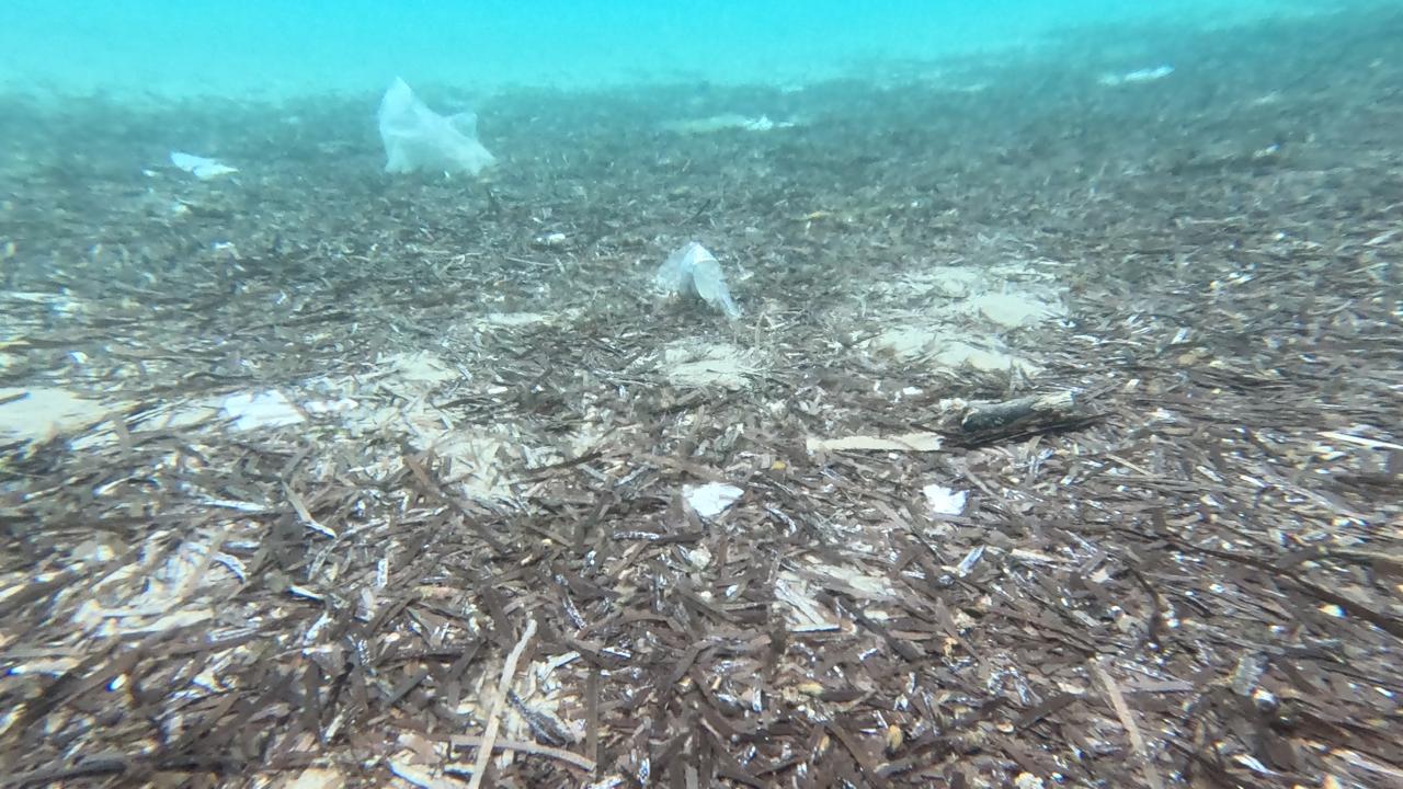
Starting at the 2nd Petinaros Primary School, 200 students attended the All For Blue seminar, learning about the importance of oceans and the impact of human activities on the marine environment. The students then headed to Korfos Beach, where, along with their teachers and All For Blue volunteers, collected 200 kg of waste, including single-use plastics, cigarette butts, and aluminum cans. The cleanup was enthusiastically joined by the “I Embrace Mykonos” team and the Mykonos Athletic Club basketball team, setting an inspiring example of selfless contribution.
We would like to express our gratitude to Ms. Marsoula Chanioti, Deputy Mayor of Education, and the Municipality of Mykonos for their support in organizing this initiative, as well as to the Mykonos Port Police for having its representatives present at the cleanup. We sincerely thank the program’s supporters for their valuable contribution to All For Blue’s vision. Finally, we would like to congratulate all the students and teachers for their participation in the program.
6
Construction Sand Bags
All For Blue
Katerina Topouzoglou
1
2
10
3
5
5
1
2
25.00
35
3.00
1.00
1
measured
350.00
On
kilograms
I have debris data to report
Calm (glassy to rippled) for waves 0 – 0.1 meter high
m2
meters
seagrass
State\Province
Attiki
City
Athens
Map Help
Dive Location
If you know your survey site coordinates, enter them manually in decimal degrees using WGS84 Map Datum. Use the minus sign for latitudes south of the equator and longitudes west of the Prime Meridian to 180 degrees.
If you do not know your survey site coordinates, click the “Map Location” tab to use the map to zoom into your survey site and drop the pin on the map to fall within your survey dive site in the water (not on land or the beach). Ensure you zoom in as much as possible to ensure data accuracy.
Entangled Help