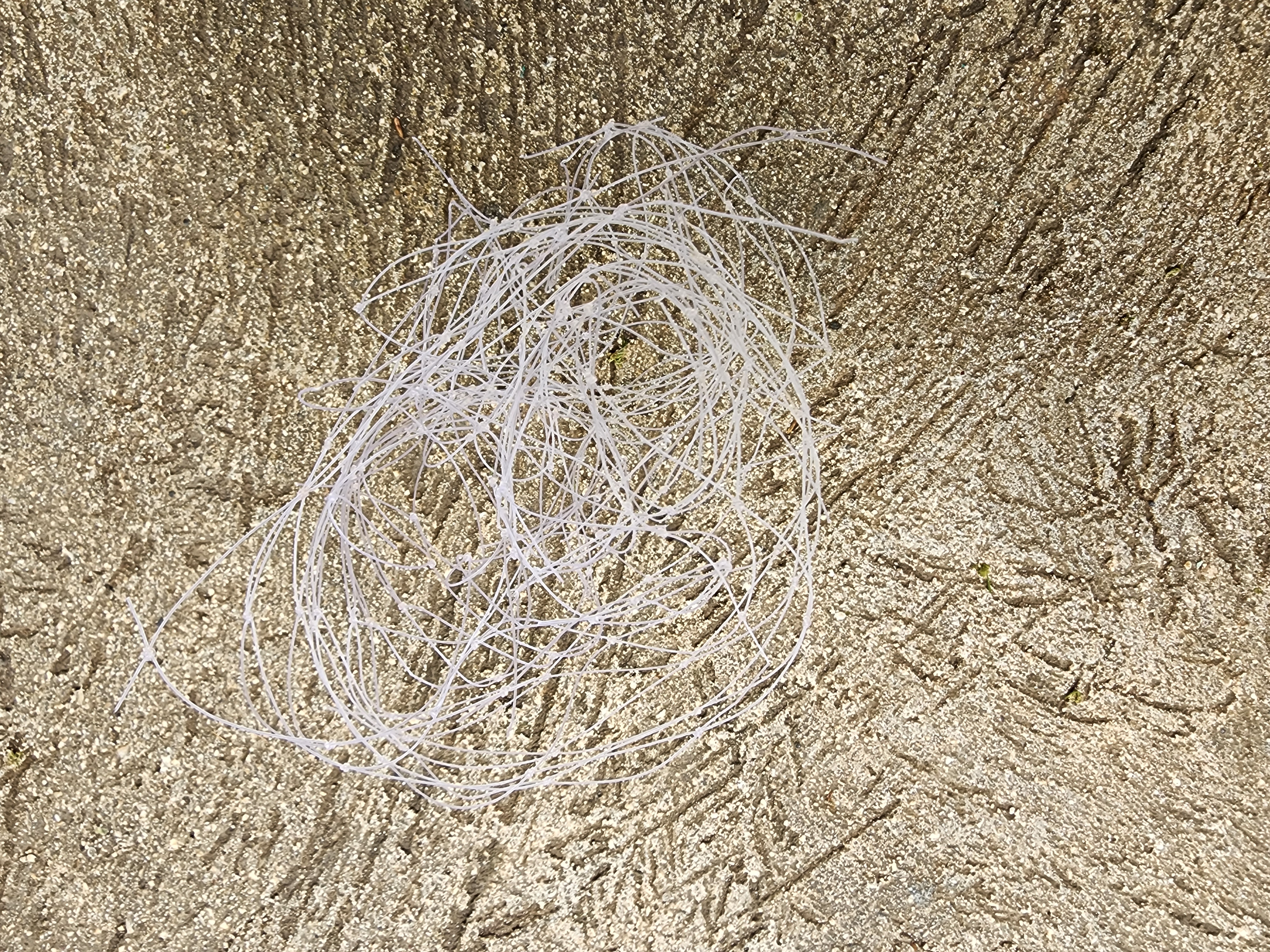
Food packaging - animals can mistake for food and ingest
Plastic bottle
On
kilograms
I have debris data to report
Calm (glassy to rippled) for waves 0 – 0.1 meter high
1
1
m2
1
meters
coral reef
1
Indonesia
City
Nusa Penida, Bali
Map Help
Dive Location
If you know your survey site coordinates, enter them manually in decimal degrees using WGS84 Map Datum. Use the minus sign for latitudes south of the equator and longitudes west of the Prime Meridian to 180 degrees.
If you do not know your survey site coordinates, click the “Map Location” tab to use the map to zoom into your survey site and drop the pin on the map to fall within your survey dive site in the water (not on land or the beach). Ensure you zoom in as much as possible to ensure data accuracy.
Entangled Help
Use the vertical tabs below to record any entangled animals you found of each type.
Smooth (wavelets) for waves 0.1 - 0.5 meter high
m2
meters
coral reef
1
1
1
Thailand
State\Province
Surat Thani
City
Koh Tao
Map Help
Dive Location
If you know your survey site coordinates, enter them manually in decimal degrees using WGS84 Map Datum. Use the minus sign for latitudes south of the equator and longitudes west of the Prime Meridian to 180 degrees.
If you do not know your survey site coordinates, click the “Map Location” tab to use the map to zoom into your survey site and drop the pin on the map to fall within your survey dive site in the water (not on land or the beach). Ensure you zoom in as much as possible to ensure data accuracy.
Entangled Help
Use the vertical tabs below to record any entangled animals you found of each type.
All For Blue, in the framework of its cooperation with Garnier, travelled to Aegina on the 9th and 10th April, in order to implement educational seminars on environmental awareness for pre-school and primary school students.
During the two days, seminars were held in two kindergartens and four primary schools on the island. Specifically, 19 students from the 1st Kindergarten of Aegina, 40 students from the 2nd Kindergarten of Aegina, 25 students from the 3rd Kindergarten of Agioi Asomatoi, 65 students from the 1st Primary School of Aegina, 60 students from the 2nd Primary School of Aegina and 88 students from the 3rd Primary School of Agioi Asomatoi participated.With enthusiasm and keen interest, the students were informed about the importance of protecting marine ecosystems, circular economy, the reduction of single-use plastics and the need for collective action.
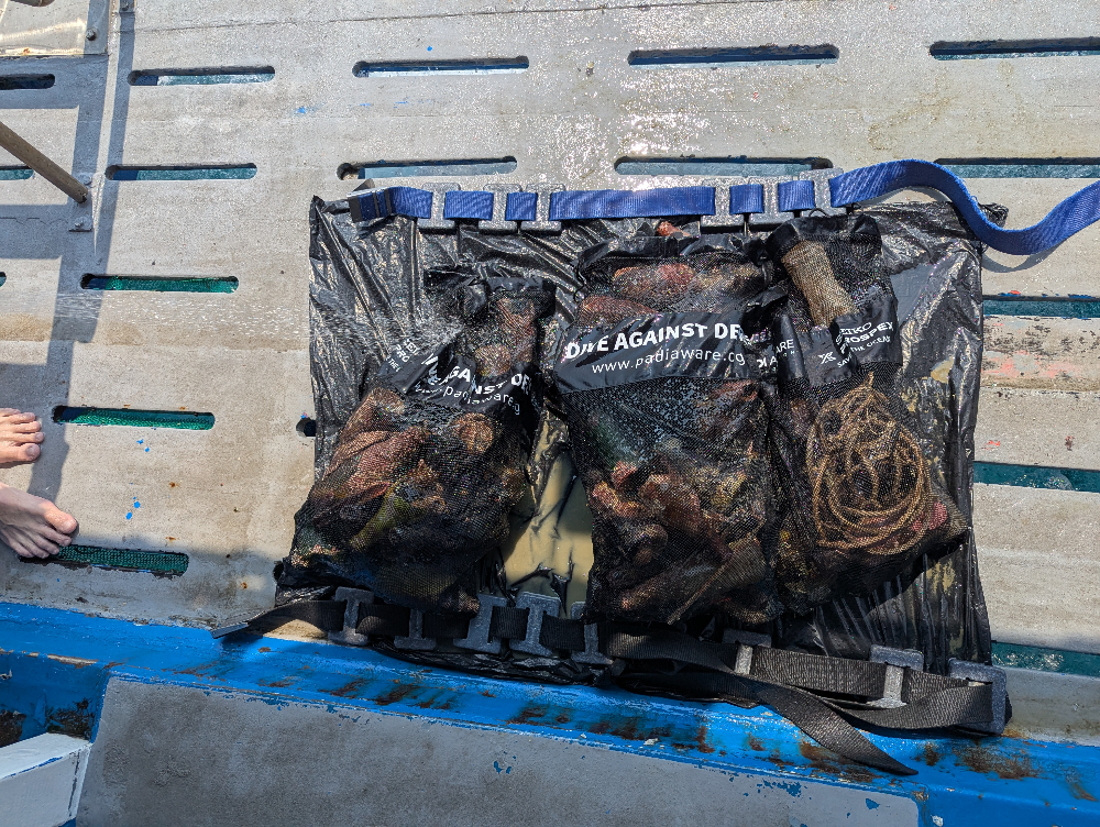
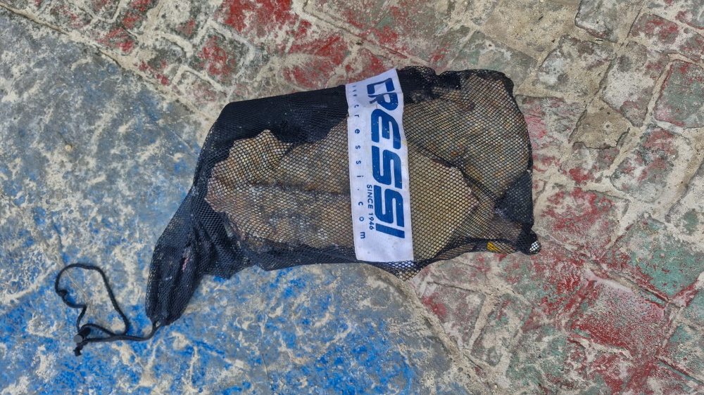
After the completion of the seminars, a coastal and underwater clean-up took place at the second beach of Marathonas, with the participation of 138 students from the primary schools and 25 students from the Kindergarten of Agioi Asomatoi, as well as volunteers from All For Blue. In total, 78 kilos of litter were collected from the shore and about 80 from the seabed.
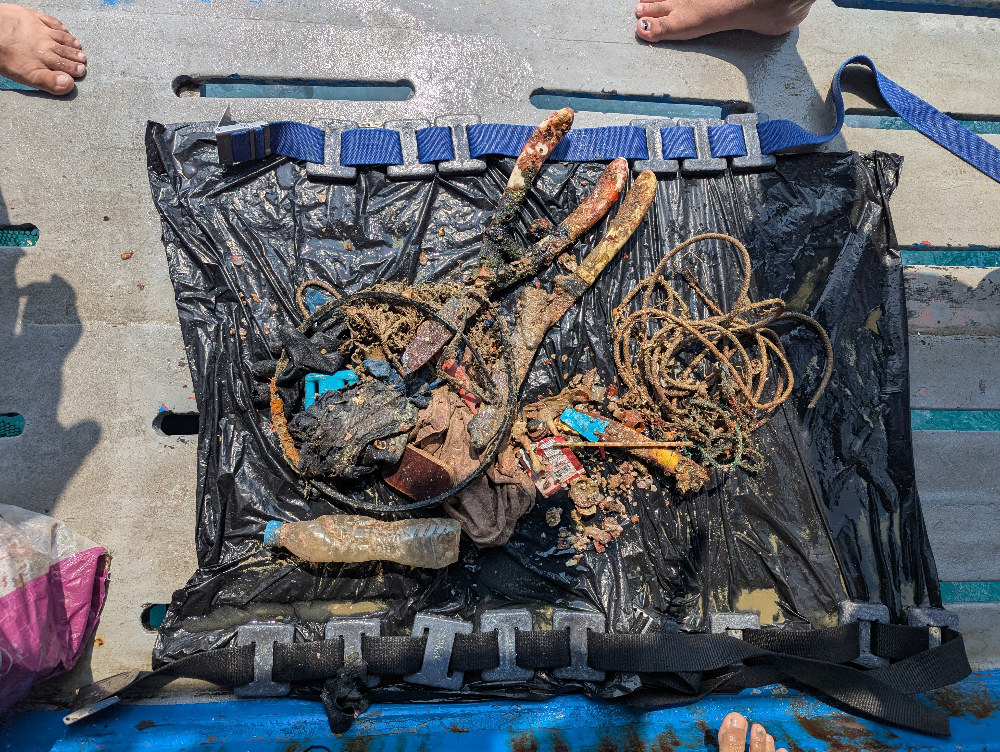
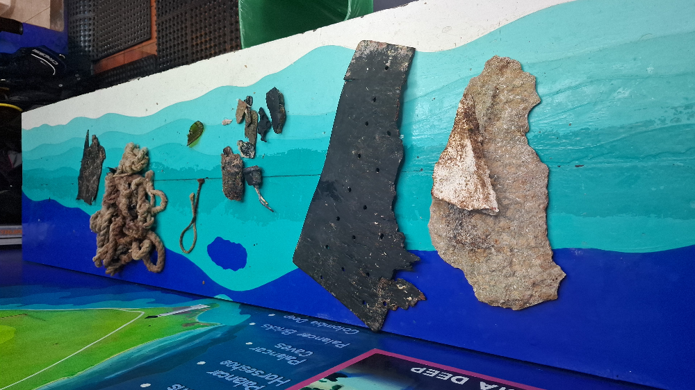
Among the items collected that are surprising are a yoga mat, shoes, straw hats, a child’s life jacket, a duvet, a sports bag, a handlebar from a child’s toy, a rusty chain, part of a boat, pipes, a piece of chipboard, a pool hose and more.
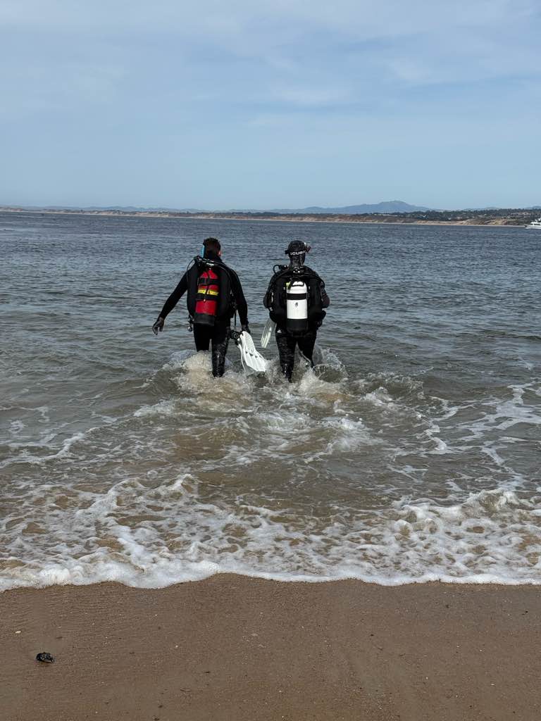
Also impressive is the fact that All For Blue divers recovered from the seabed a metal cage, pieces of pipe and a welcome mat among other things.
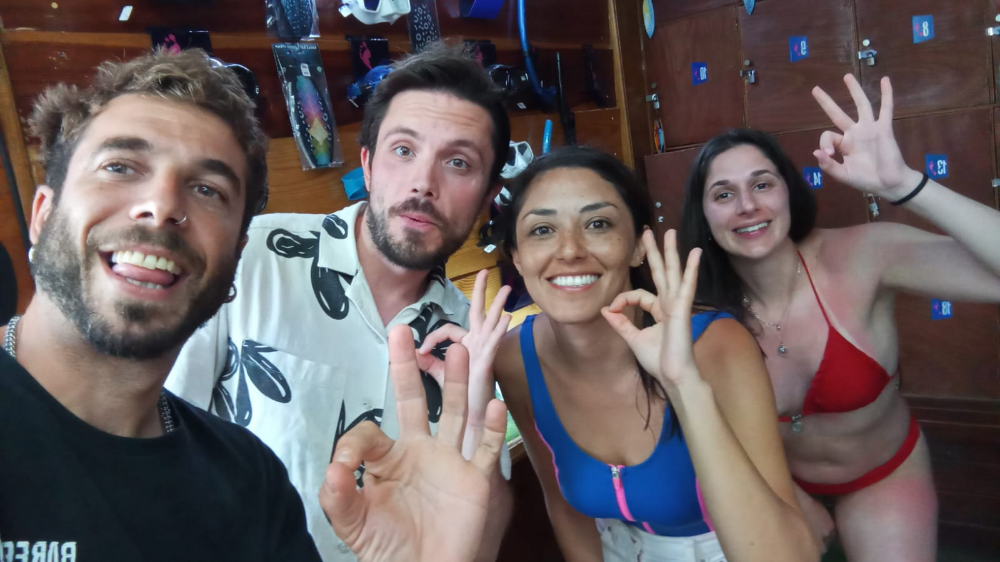
We would like to express our sincere thanks to the teachers, students and volunteers who willingly and enthusiastically participated in the coastal cleanup.
Our special thanks go to the Deputy Mayor of Education and Sports and Director of the Primary School of Agioi Asomatoi, Mr. Zampelis, for his constant support and valuable assistance in the implementation of this action.
We also thank Aegina Portal for covering the action and contributing to the promotion of our work for a cleaner marine environment.
Concluding this two-day action, we would like to thank again Garnier for their confidence in our work and our volunteers who were once again there to support our action.
Perhaps a storm or flood
Clear
1
1
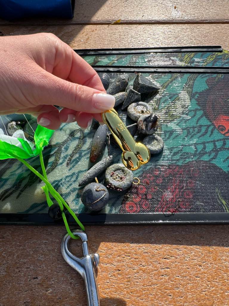
Metal Cage
Drainage Pipe
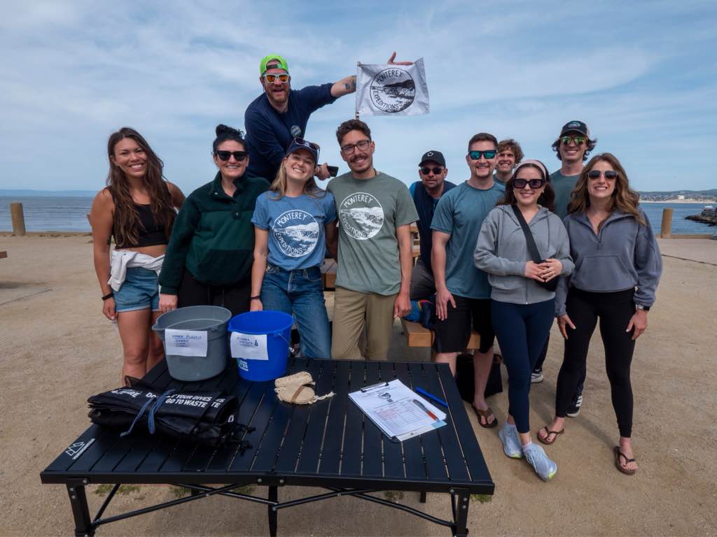
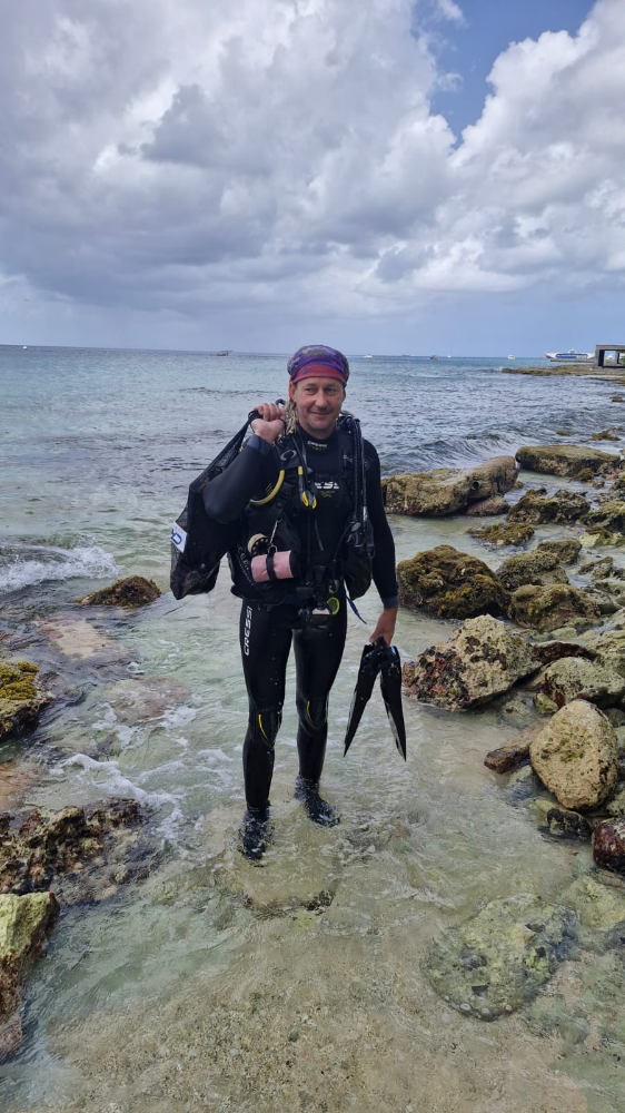
All For Blue
Katerina Topouzoglou
2
1
80.00
40
2.00
1.00
measured
300.00
On
kilograms
I have debris data to report
Calm (glassy to rippled) for waves 0 – 0.1 meter high
m2
meters
seagrass
3
Greece
State\Province
Attiki
City
Athens
Map Help
Dive Location
If you know your survey site coordinates, enter them manually in decimal degrees using WGS84 Map Datum. Use the minus sign for latitudes south of the equator and longitudes west of the Prime Meridian to 180 degrees.
If you do not know your survey site coordinates, click the “Map Location” tab to use the map to zoom into your survey site and drop the pin on the map to fall within your survey dive site in the water (not on land or the beach). Ensure you zoom in as much as possible to ensure data accuracy.
Entangled Help
Use the vertical tabs below to record any entangled animals you found of each type.
Calm (glassy to rippled) for waves 0 – 0.1 meter high
0
0
0
0
0
0
0
m2
0
0
meters
coral reef
0
0
1
0
0
1
0
0
0
0
0
0
0
0
0
0
6
0
0
0
0
0
0
0
0
0
0
0
0
Thailand
State\Province
Surat thani
City
Koh tao
Map Help
Dive Location
If you know your survey site coordinates, enter them manually in decimal degrees using WGS84 Map Datum. Use the minus sign for latitudes south of the equator and longitudes west of the Prime Meridian to 180 degrees.
If you do not know your survey site coordinates, click the “Map Location” tab to use the map to zoom into your survey site and drop the pin on the map to fall within your survey dive site in the water (not on land or the beach). Ensure you zoom in as much as possible to ensure data accuracy.
Entangled Help
Use the vertical tabs below to record any entangled animals you found of each type.
Calm (glassy to rippled) for waves 0 – 0.1 meter high
1
0
0
0
1
1
1
m2
6
1
meters
coral reef
0
0
1
0
0
0
0
0
1
0
0
0
0
0
0
0
0
0
0
0
0
0
0
0
0
0
0
0
0
Thailand
State\Province
Chonburi
City
Pattaya
Map Help
Dive Location
If you know your survey site coordinates, enter them manually in decimal degrees using WGS84 Map Datum. Use the minus sign for latitudes south of the equator and longitudes west of the Prime Meridian to 180 degrees.
If you do not know your survey site coordinates, click the “Map Location” tab to use the map to zoom into your survey site and drop the pin on the map to fall within your survey dive site in the water (not on land or the beach). Ensure you zoom in as much as possible to ensure data accuracy.
Entangled Help
Use the vertical tabs below to record any entangled animals you found of each type.
Calm (glassy to rippled) for waves 0 – 0.1 meter high
3
0
0
0
0
0
0
m2
0
0
meters
seagrass
2
0
0
0
0
0
0
0
0
0
0
0
2
0
0
0
0
0
0
0
0
0
1
0
0
0
0
0
0
Mexico
State\Province
QR
City
Cozumel
Map Help
Dive Location
If you know your survey site coordinates, enter them manually in decimal degrees using WGS84 Map Datum. Use the minus sign for latitudes south of the equator and longitudes west of the Prime Meridian to 180 degrees.
If you do not know your survey site coordinates, click the “Map Location” tab to use the map to zoom into your survey site and drop the pin on the map to fall within your survey dive site in the water (not on land or the beach). Ensure you zoom in as much as possible to ensure data accuracy.
Entangled Help
Use the vertical tabs below to record any entangled animals you found of each type.
For the third year in a row, All For Blue returned to the sacred island of Delos for a special coastal and underwater cleanup. Over 350 kilograms of waste were collected from the shore and the seabed, in an effort full of meaning, teamwork and love for the environment and cultural heritage.
Volunteers from Mykonos and other parts of Greece joined the initiative, along with members of the local community and students who had already taken part in All For Blue’s educational seminars through the Keep Mykonos Blue program. Single-use plastics, bags and microplastics were collected from the shore, while divers brought up metal objects, clothes and other debris from the seabed. Scouts and Delos archaeologists also pitched in, helping to remove large items like a broken boat and bulky plastic waste from the island’s northern part.
A heartfelt thank you goes out to all the amazing volunteers who participated with energy and enthusiasm, to the Mykonos Port Authority for their support, to archaeologist Themis Vakoulis, to delostours and donblueyachting for transporting volunteers, to Deputy Mayor of Education Marsoula Chanioti for her help with the educational activities, to Deputy Mayor of Sanitation Mr. Sachas for swiftly handling the waste collection, and to the Agkaliazo Ti Mykono team for joining the effort.
Keep Mykonos Blue is implemented in collaboration with the Municipality of Mykonos and the Friends of Mykonos organization, with the support of the Ministry of Culture, the Cyclades Preservation Fund and Nautica.gr. The initiative is under the auspices of CMAS (World Underwater Federation) and approved by the Ministry of Education.
This cleanup was a beautiful reminder that when we come together, we really can make a difference for our seas, and for the legacy we pass on.
Dress
Clear
All For Blue
Katerina Topouzoglou
4
4
3
3
2
35.00
120
6.00
1.00
2
measured
500.00
3
Tires
Rebars
On
kilograms
I have debris data to report
4
Calm (glassy to rippled) for waves 0 – 0.1 meter high
1
m2
meters
seagrass
4
6
6
2
Greece
State\Province
Attiki
City
Athens
Map Help
Dive Location
If you know your survey site coordinates, enter them manually in decimal degrees using WGS84 Map Datum. Use the minus sign for latitudes south of the equator and longitudes west of the Prime Meridian to 180 degrees.
If you do not know your survey site coordinates, click the “Map Location” tab to use the map to zoom into your survey site and drop the pin on the map to fall within your survey dive site in the water (not on land or the beach). Ensure you zoom in as much as possible to ensure data accuracy.
Entangled Help
Use the vertical tabs below to record any entangled animals you found of each type.