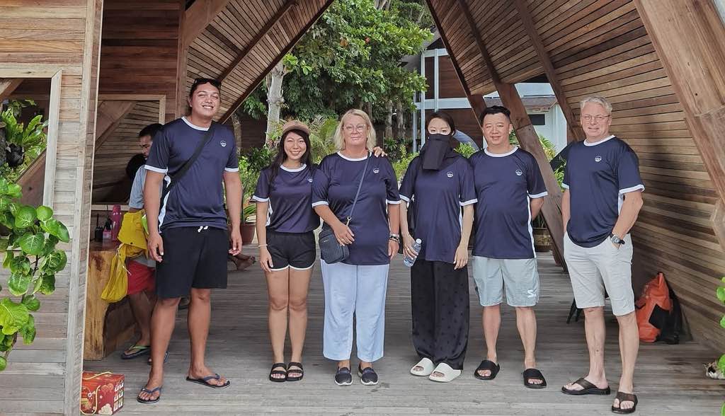
Willow Beach
other
United States
35.886857573327, -114.68081166366
Sunny Slight breeze
1
1
2
1
2
11
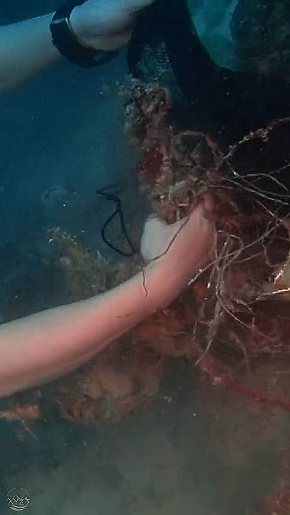
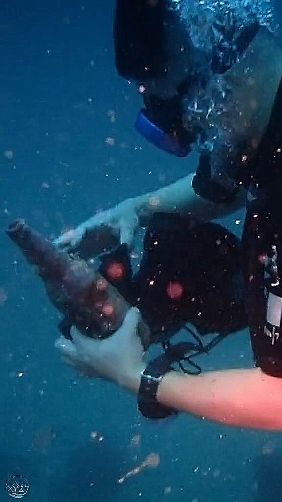
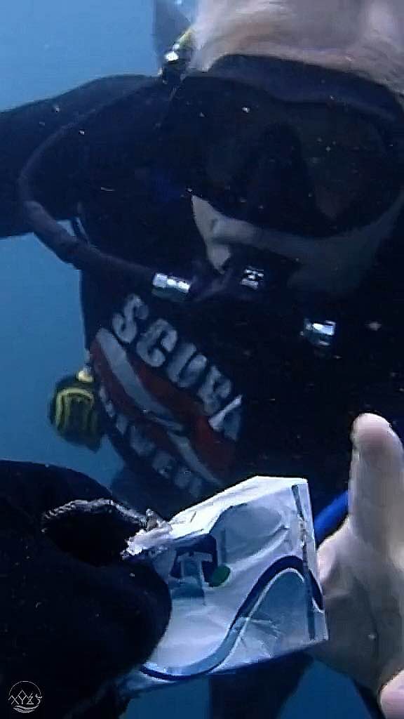
Power Charger
Flashlight
Oar
selfie stick
Fishing Pole
sun Glasses
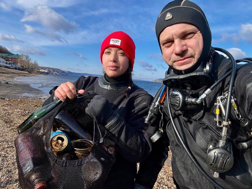
Blue Note Scuba/ Mana Scuba
Noel Stark
5
4
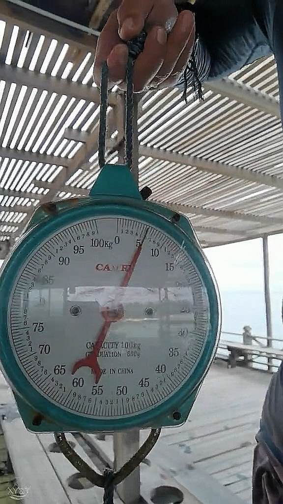
100.00
100
45.00
20.00
estimated
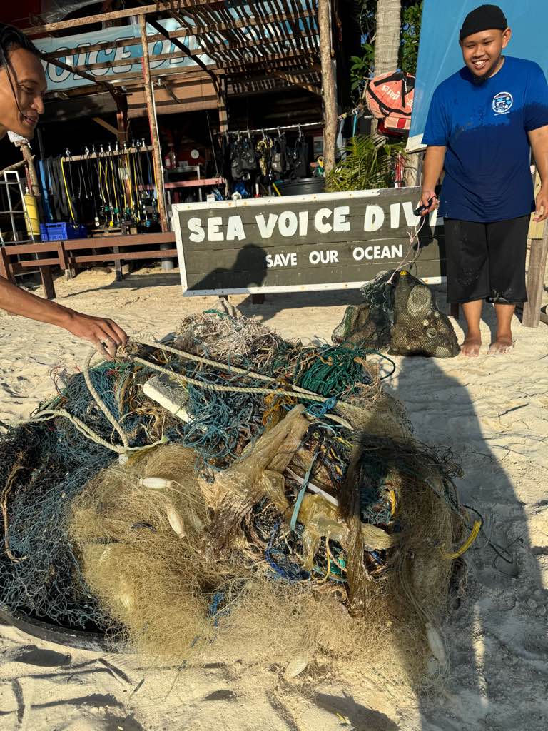
3000.00
On
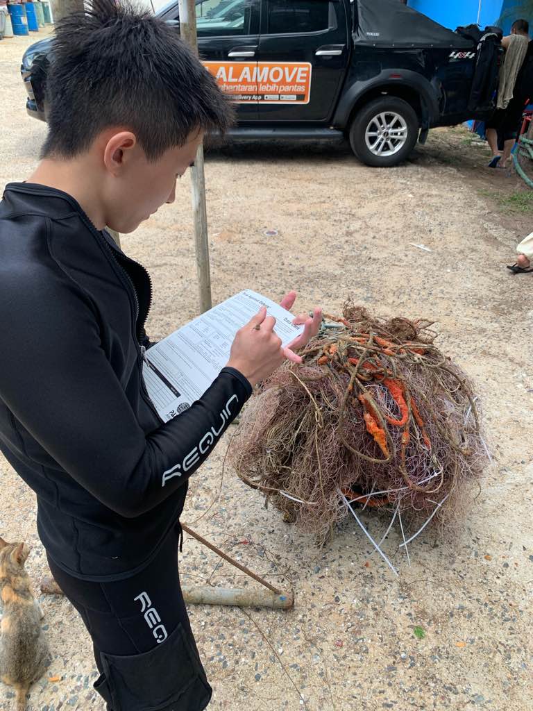
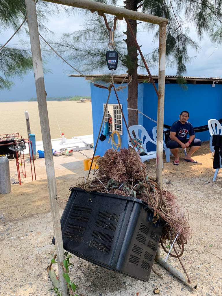
pounds
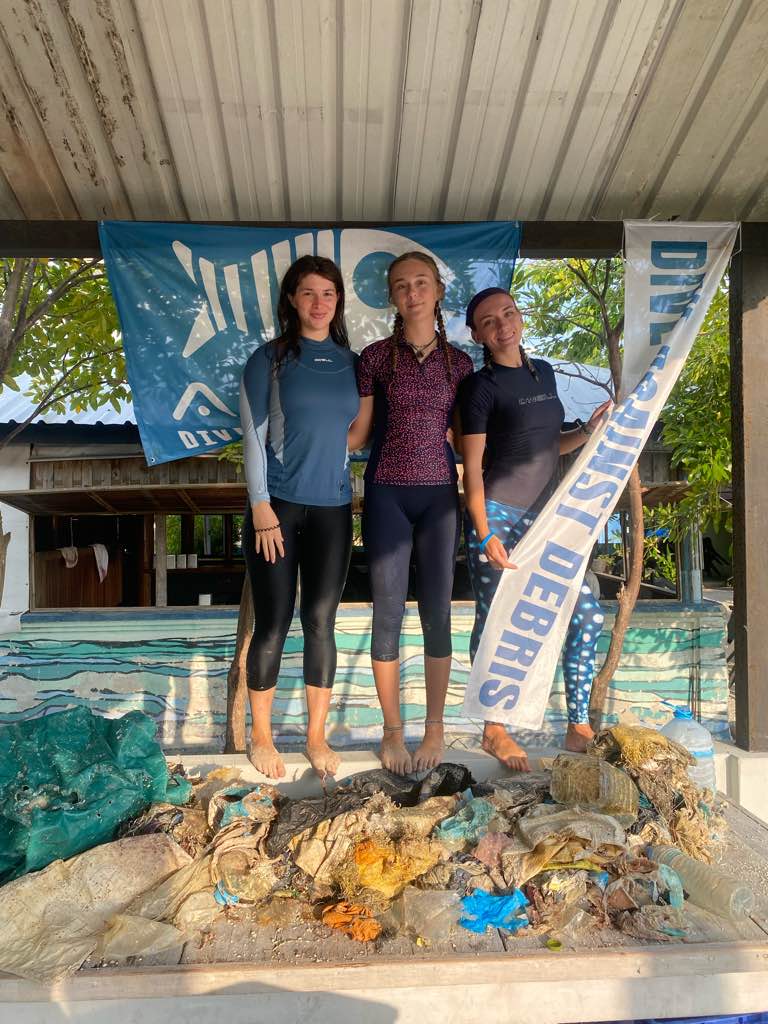
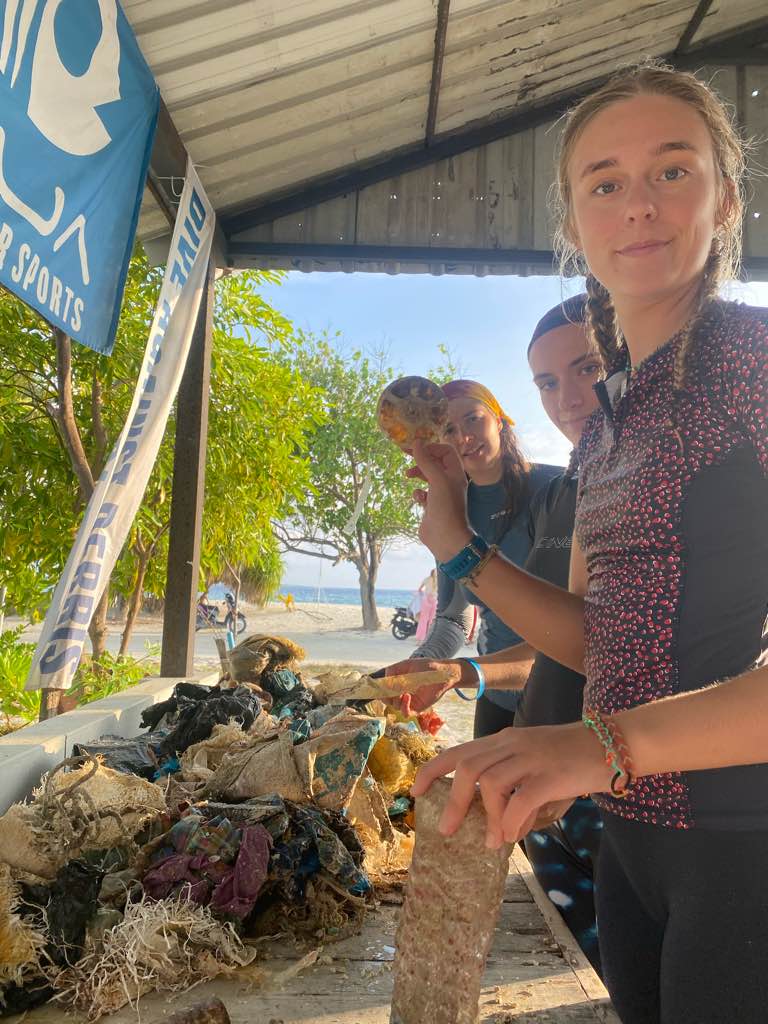
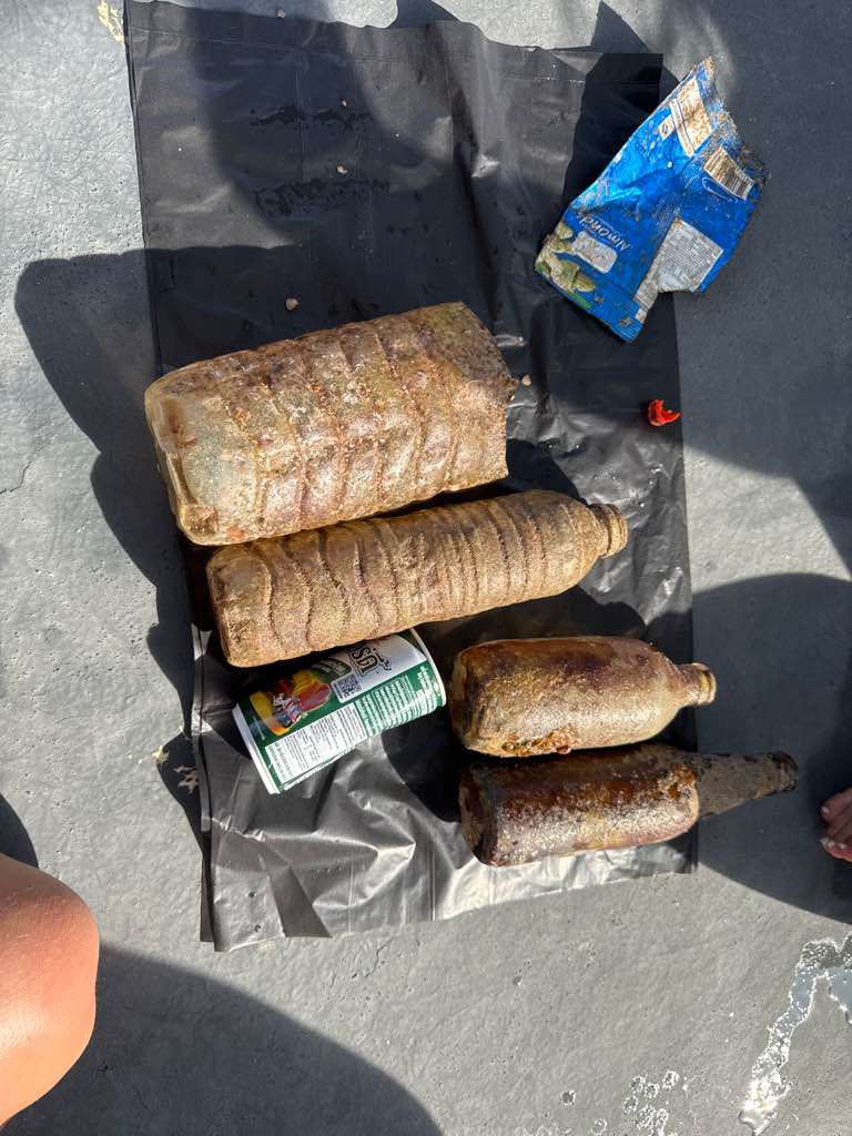
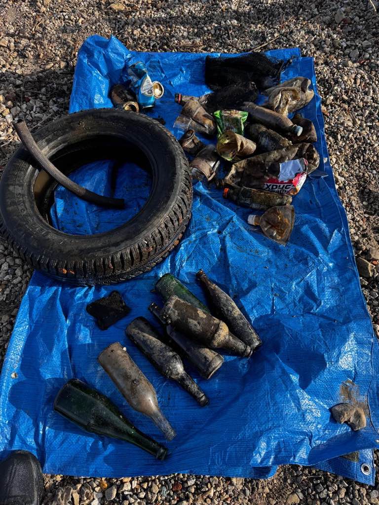
I have debris data to report
16
Calm (glassy to rippled) for waves 0 – 0.1 meter high
ft2
2
feet
other
5
19
1
6
State\Province
NV
City
Las Vegas
Map Help
Dive Location
If you know your survey site coordinates, enter them manually in decimal degrees using WGS84 Map Datum. Use the minus sign for latitudes south of the equator and longitudes west of the Prime Meridian to 180 degrees.
If you do not know your survey site coordinates, click the “Map Location” tab to use the map to zoom into your survey site and drop the pin on the map to fall within your survey dive site in the water (not on land or the beach). Ensure you zoom in as much as possible to ensure data accuracy.
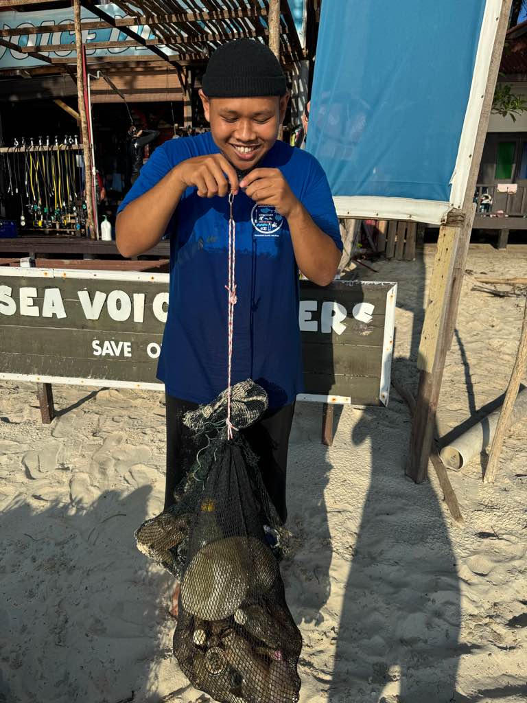
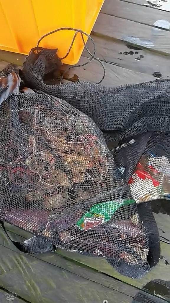
Entangled Help
Use the vertical tabs below to record any entangled animals you found of each type.
Ecosystem Other
river bed
Dominant Substrate Other
Rock and silt