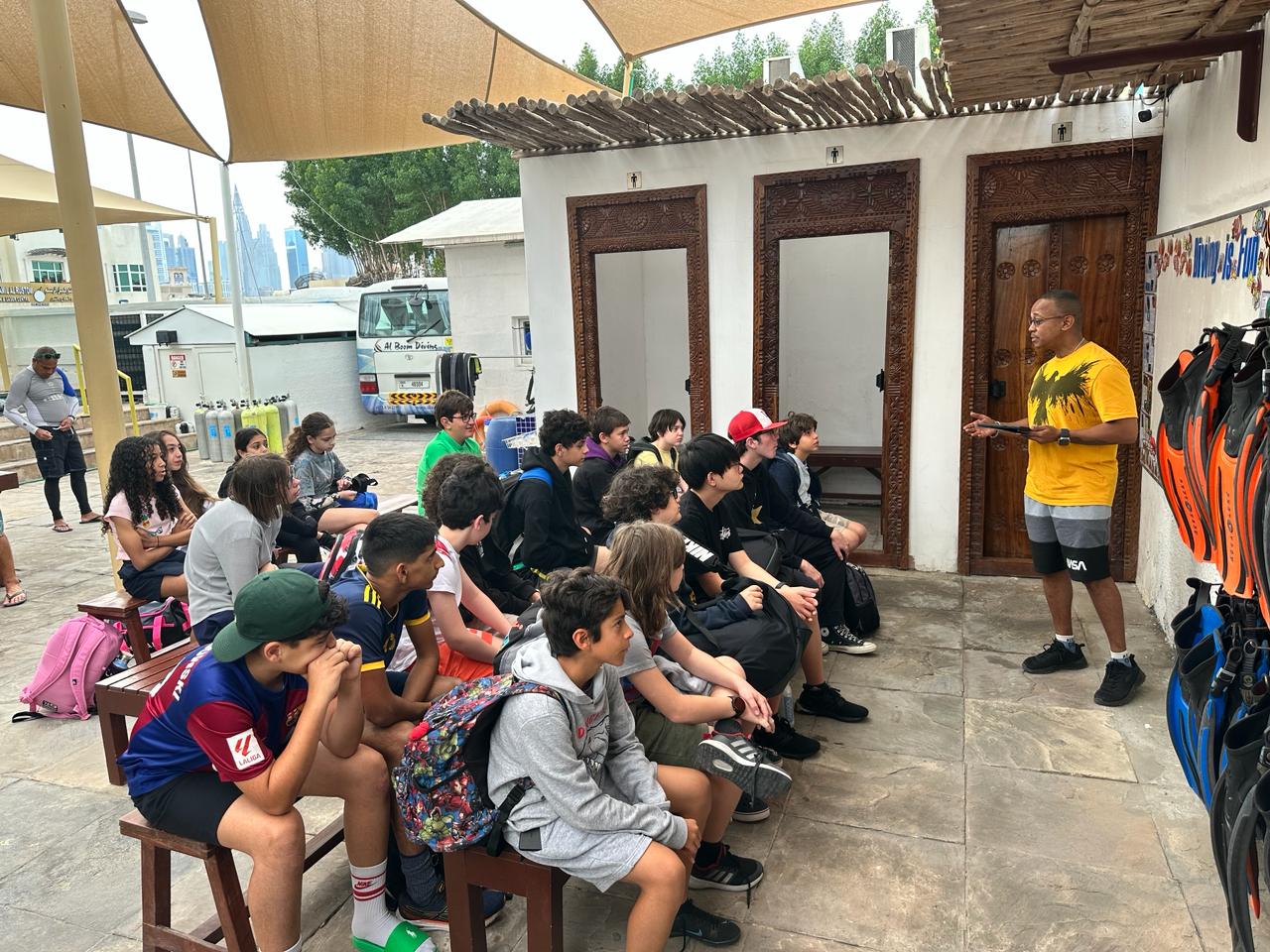
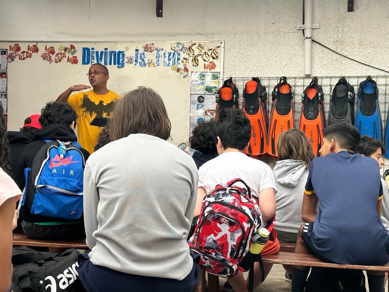
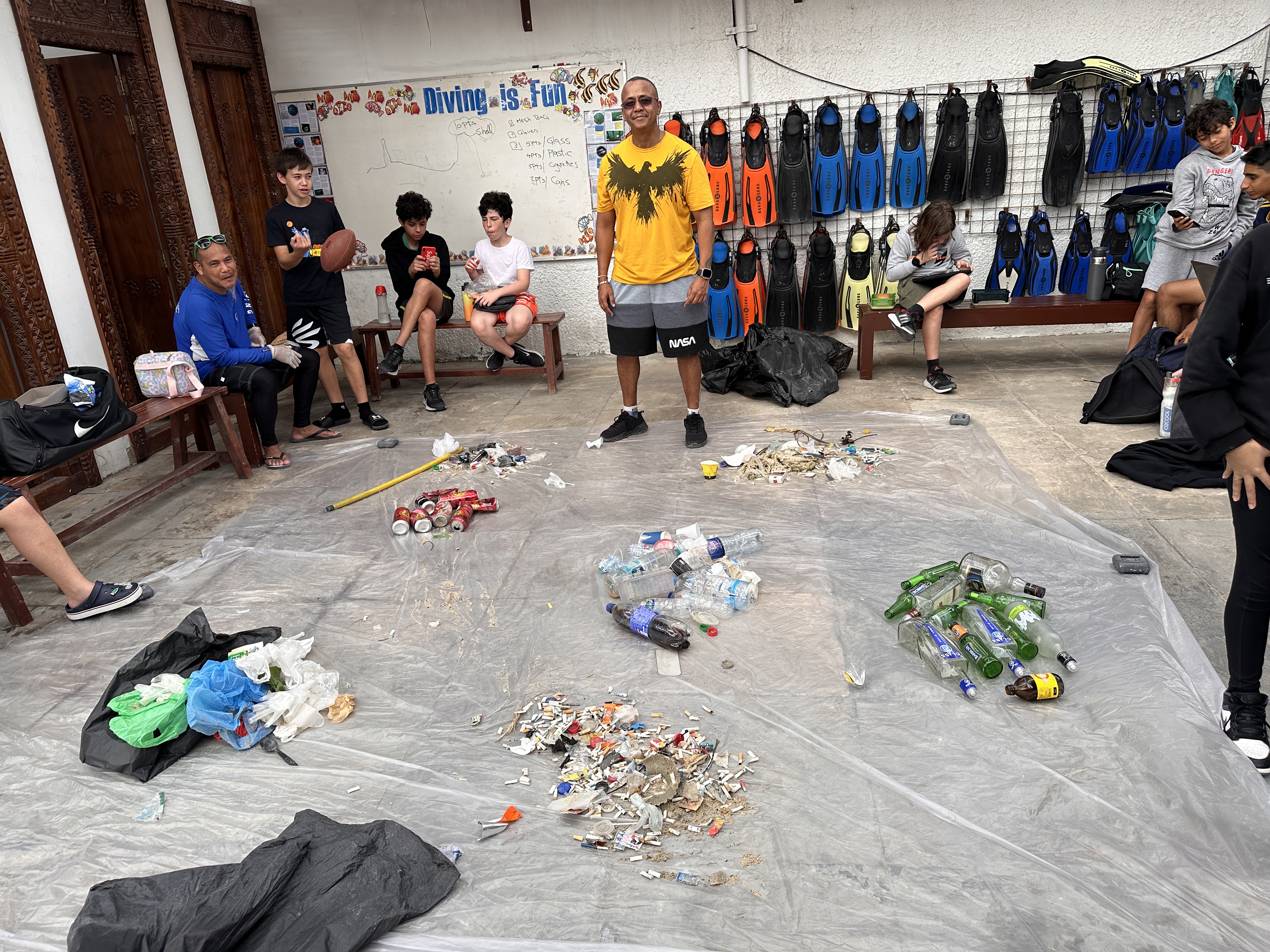
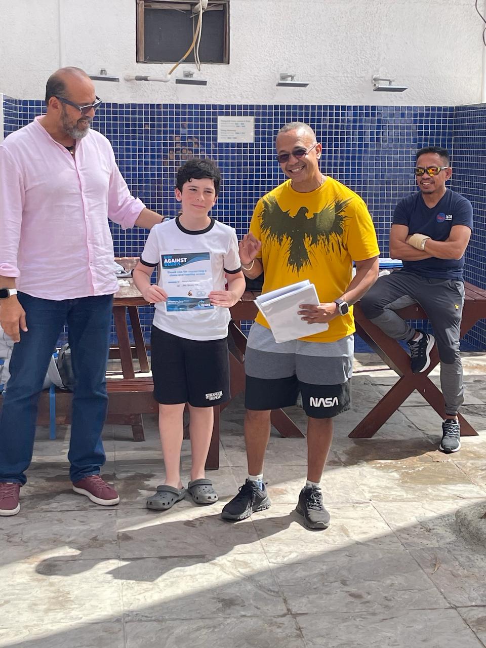
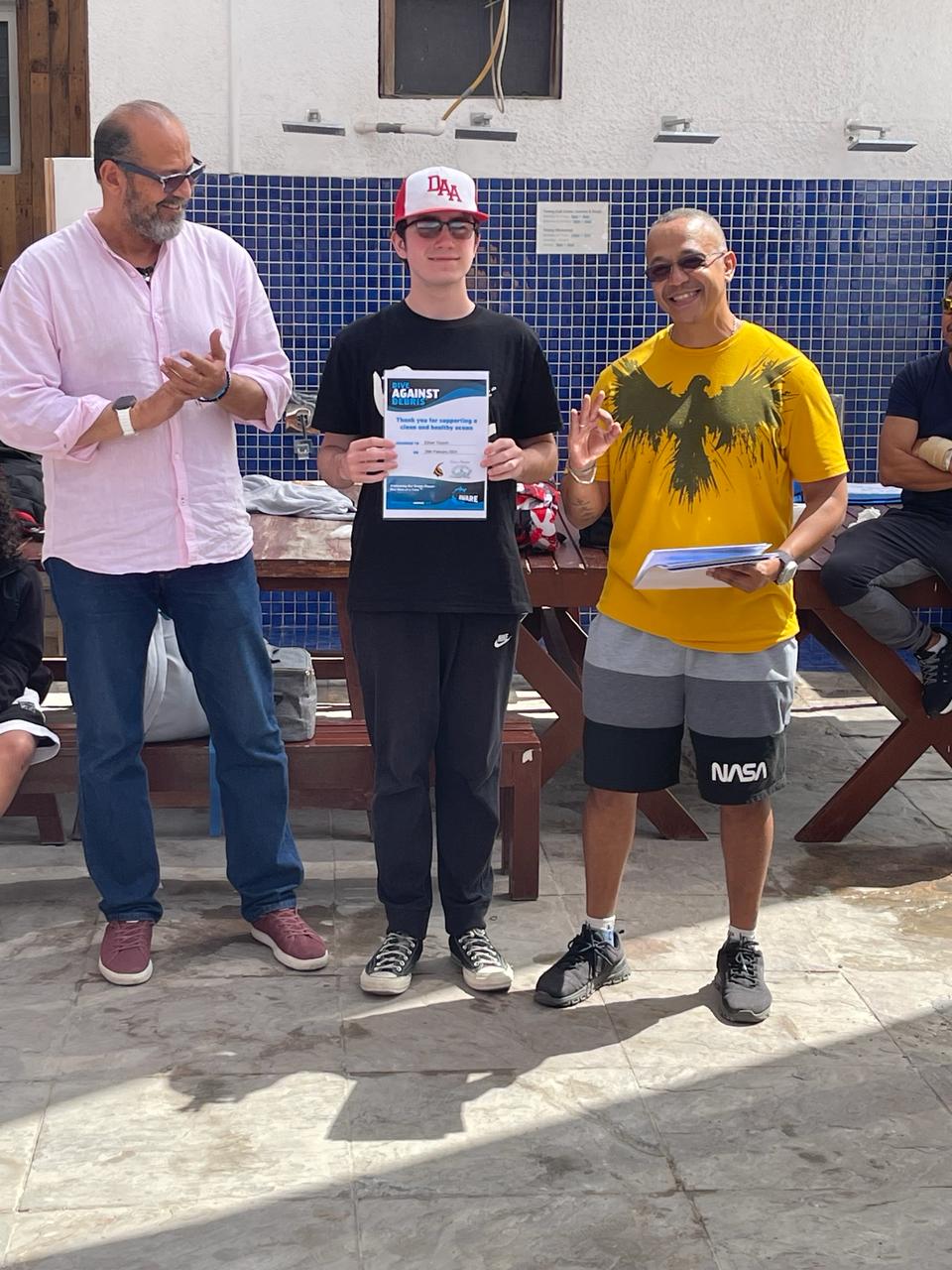
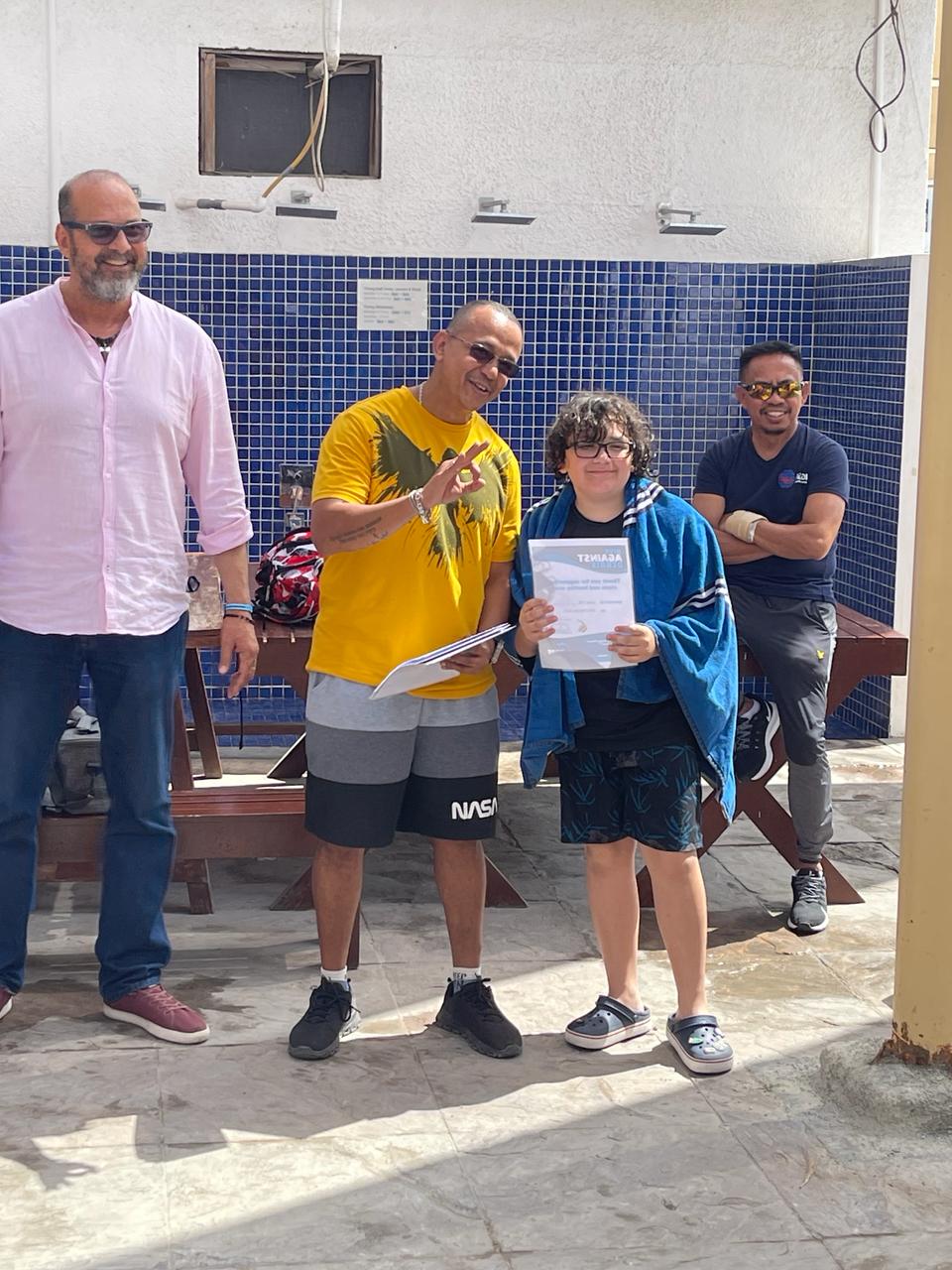
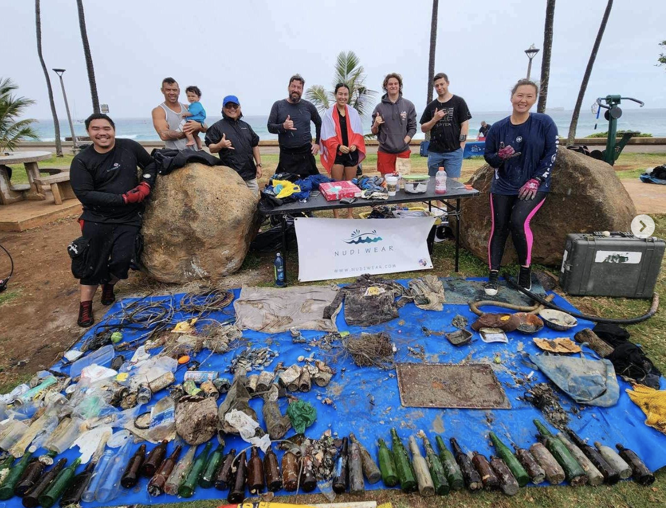
Green Pier: 42nd Annual Avalon Harbor Cleanup
12
40
5
2
7
sand
9
2
6
33.343862200667, -118.32538192578
Some crabs made it to the debris sorting tarp, most were released unharmed in the ocean.
"Everything but the body" - A diver recovered a hat, shirt, socks, and a bullet, but no body!
Large and encrusted sewing machine
Large and encrusted sewing machine
The Brittle Star was released in the ocean but the jellyfish were found during debris sorting and safely returned to the ocean. The Octopus was found in the debris bag after crawling out of a Nespresso machine that was brought back. We placed the Octopus in a bucket and scooped it up to gently lay it back in the surf where it swam away unharmed.
Some rain, lots of sun
10
2
4
4
9
5
Sunglasses
Plastic Bead Necklace
Paddle
Boat Parts
Bones
Tools
Bleu World
Kayla Feairheller
2
60
3
7
21
12
3
153
5
7
-1
-2
54
1
420.77
45
30.00
2.00
measured
17
40705.80
1
4
10
1
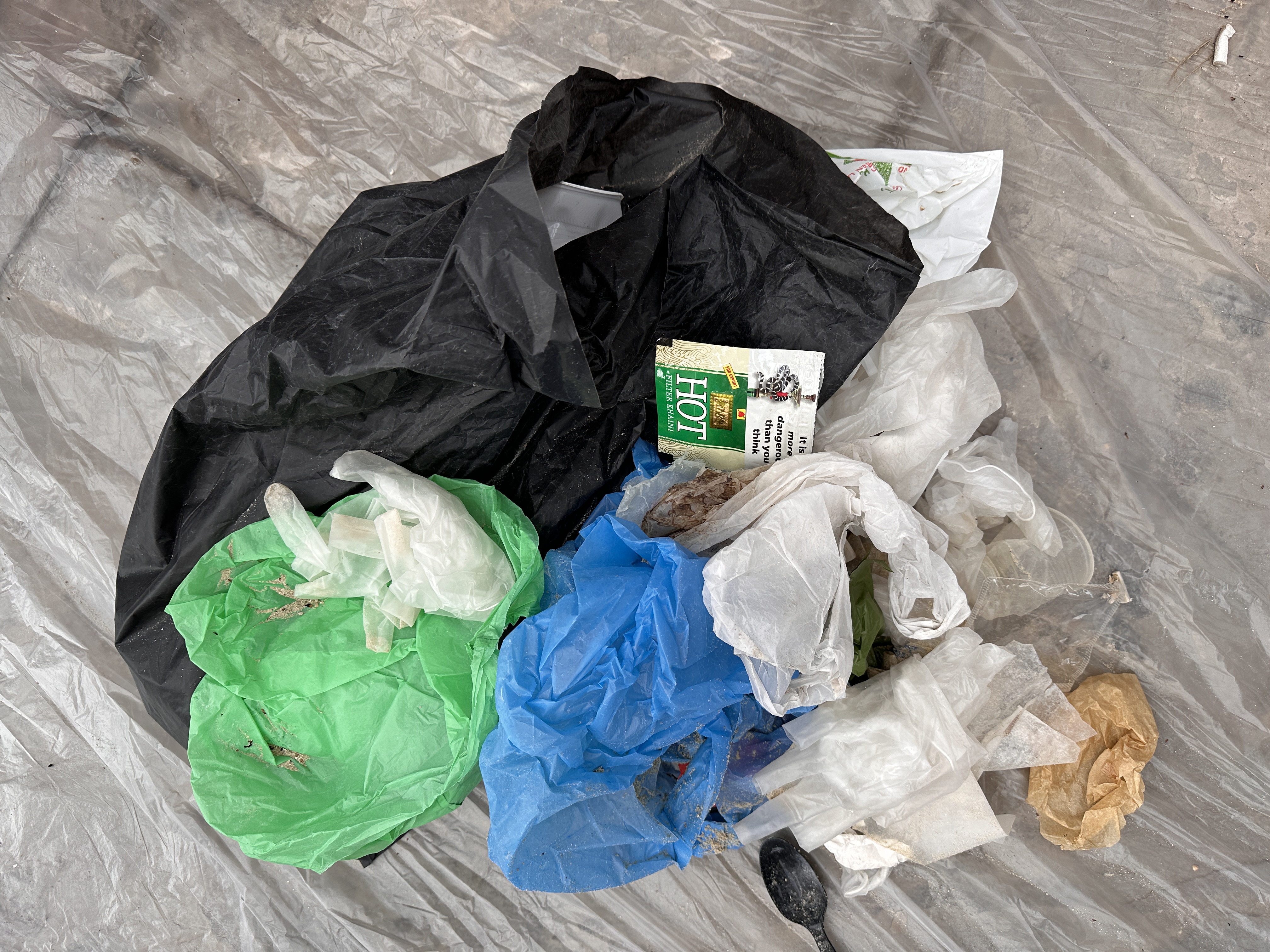
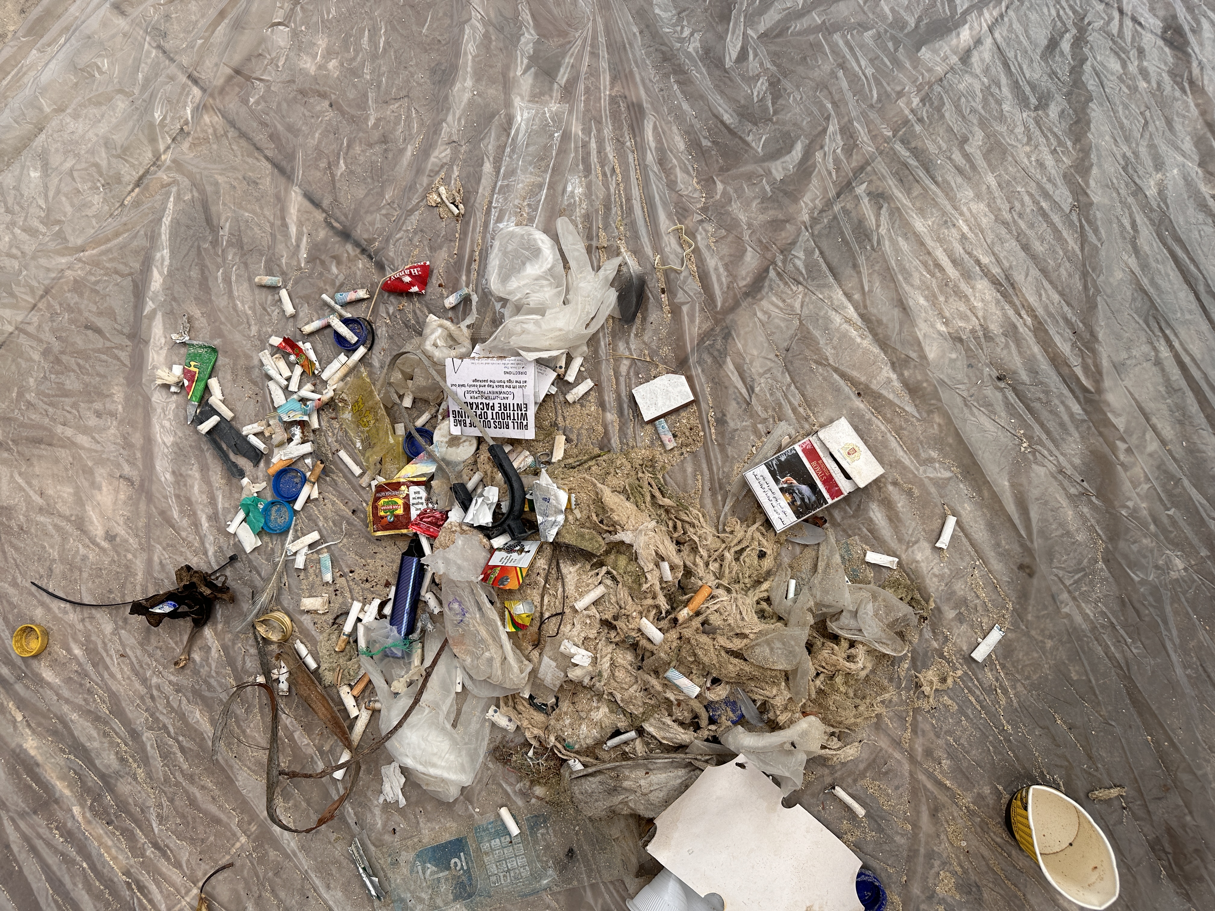
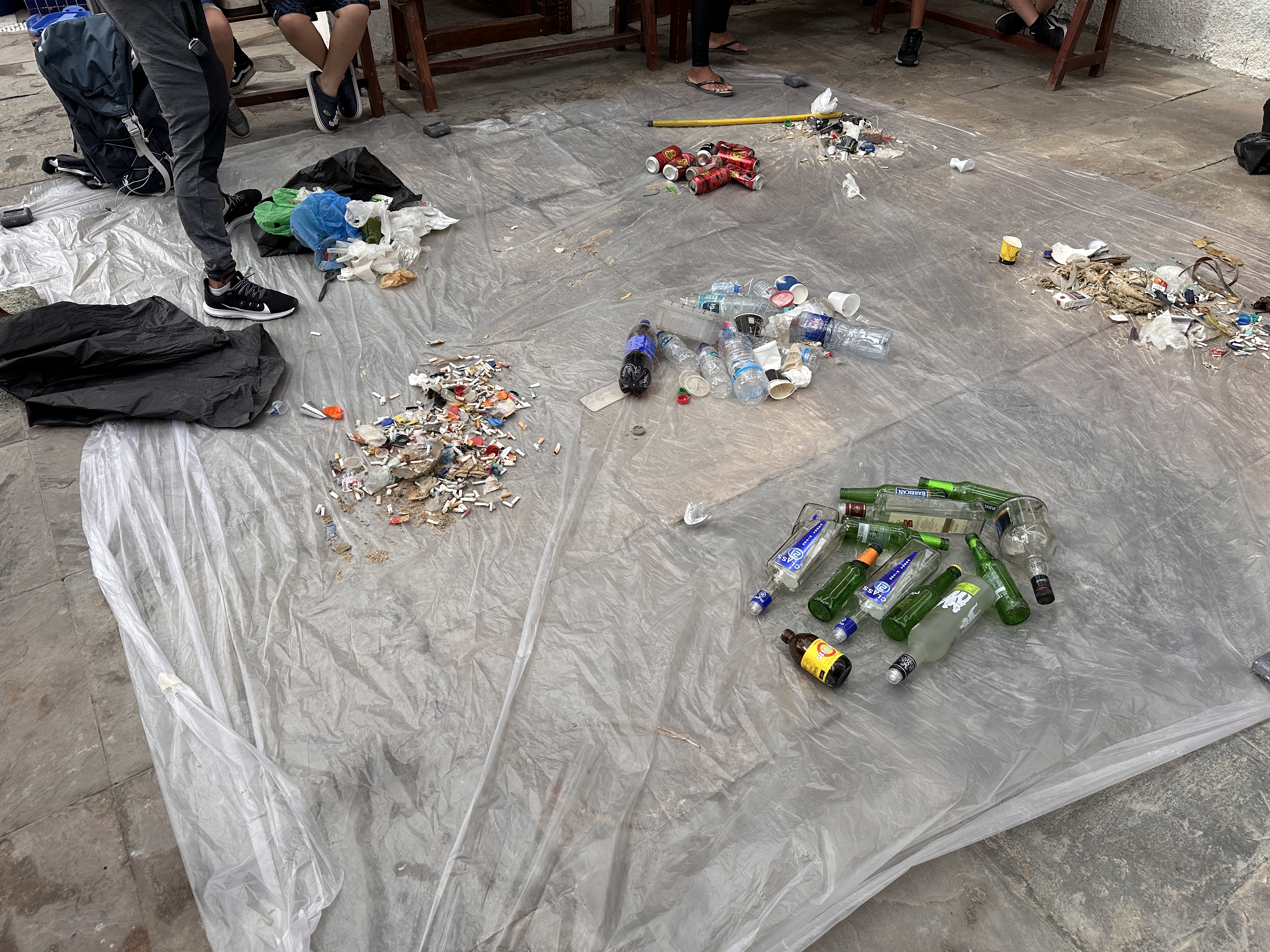
Plastic cutlery
Golf balls
4
On
pounds
1
I have debris data to report
27
18
5
Calm (glassy to rippled) for waves 0 – 0.1 meter high
12
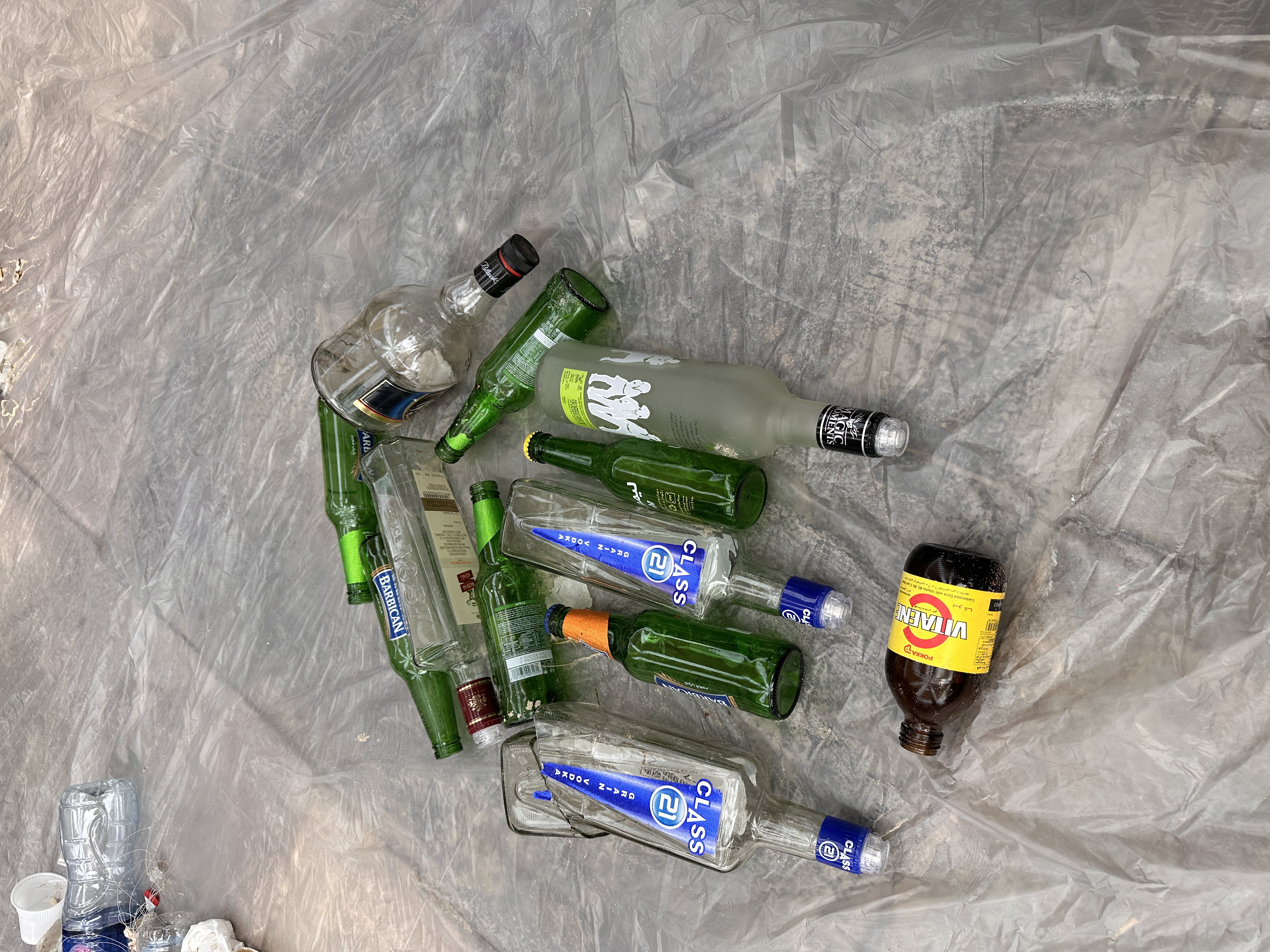
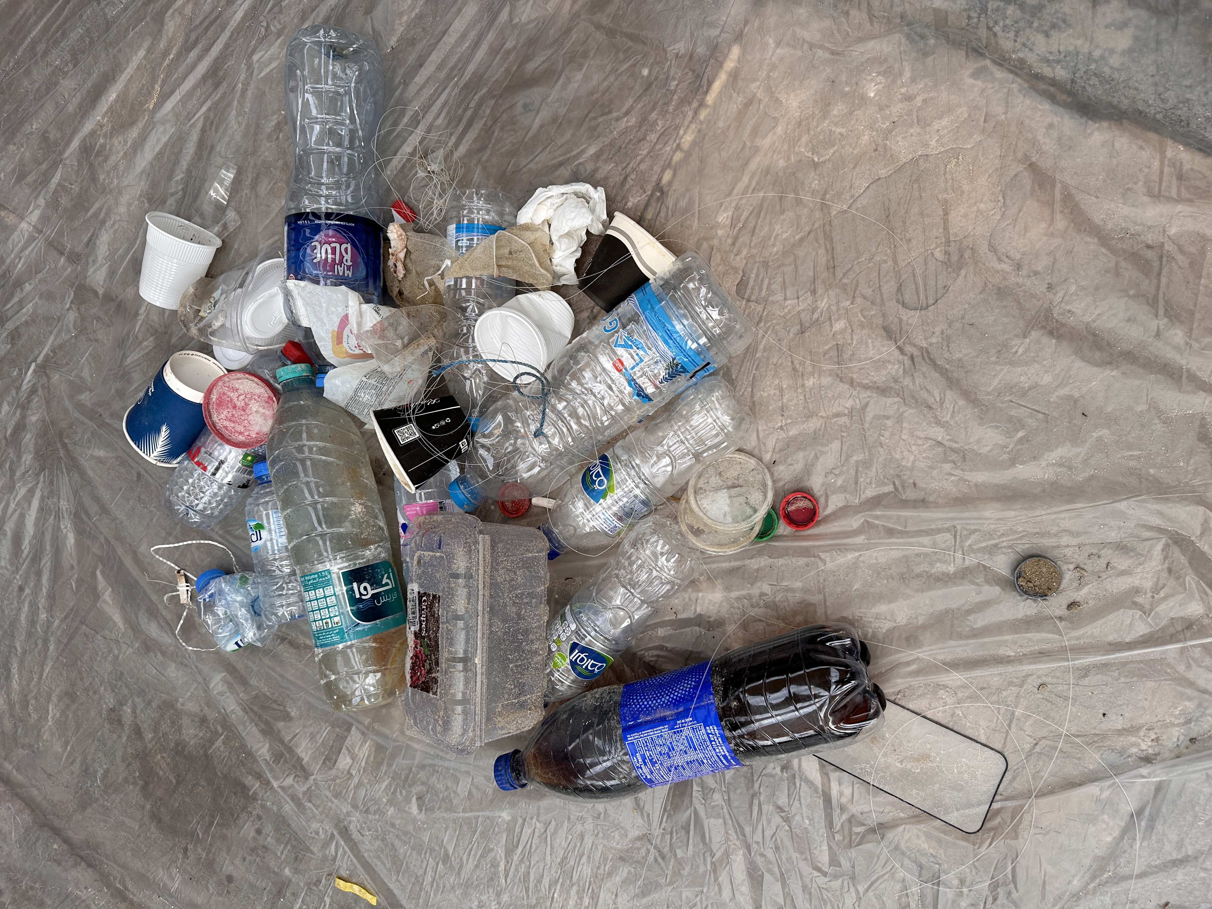
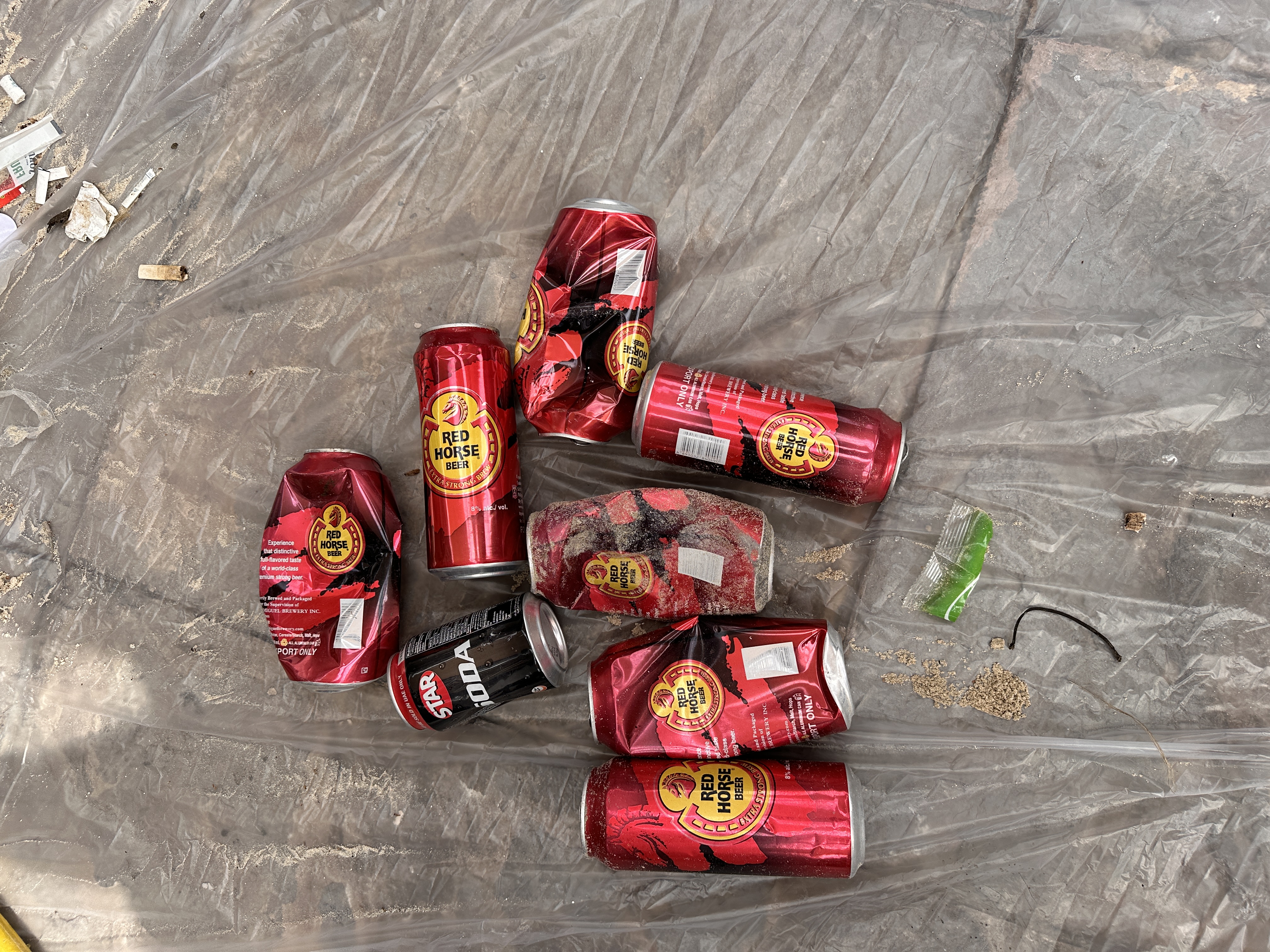
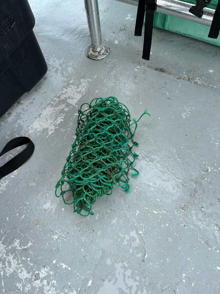
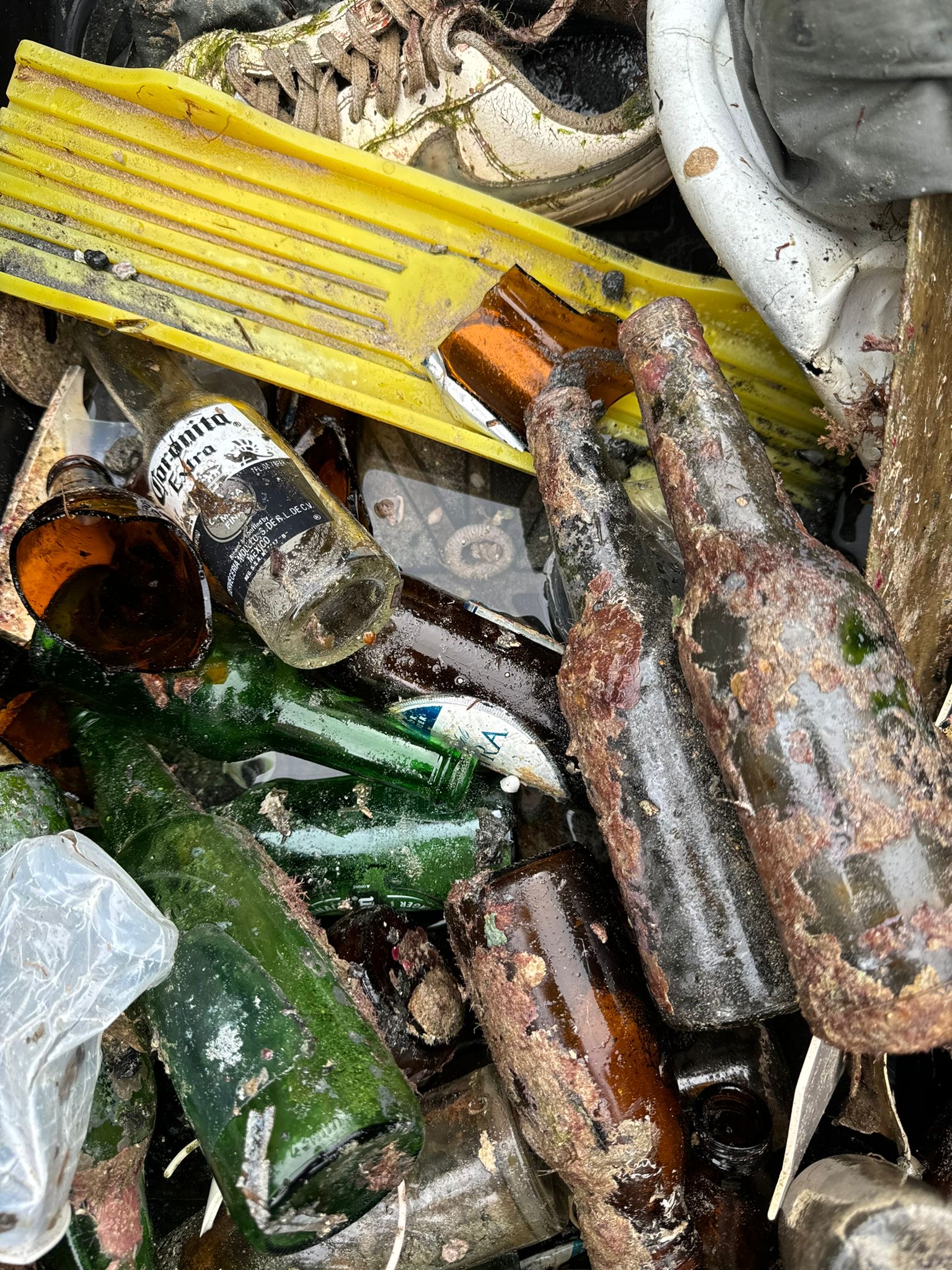
Bottles, Pieces of Cloth, Metal Pipes
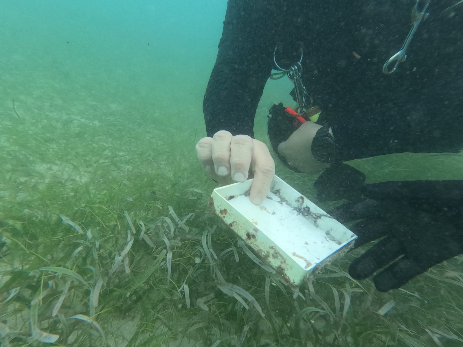
Crab
Released Unharmed
18
3
51
ft2


27
20
6
Pieces of Cloth, Coffee Maker
Brittle Star, Jellyfish, Two Spot Octopus
Released Unharmed
feet
kelp
1
19
1
3
5
17
5
32
1
37
2
1
1
State\Province
CA
City
Avalon
Map Help
Dive Location
If you know your survey site coordinates, enter them manually in decimal degrees using WGS84 Map Datum. Use the minus sign for latitudes south of the equator and longitudes west of the Prime Meridian to 180 degrees.
If you do not know your survey site coordinates, click the “Map Location” tab to use the map to zoom into your survey site and drop the pin on the map to fall within your survey dive site in the water (not on land or the beach). Ensure you zoom in as much as possible to ensure data accuracy.
Entangled Help