Pulau Hantu, Singapore
1
sand
3
1
1
1.226284748626138, 103.74634232372046
we think lots of cans and plastic food stuff near jetty locations we will return to that locations and see
no
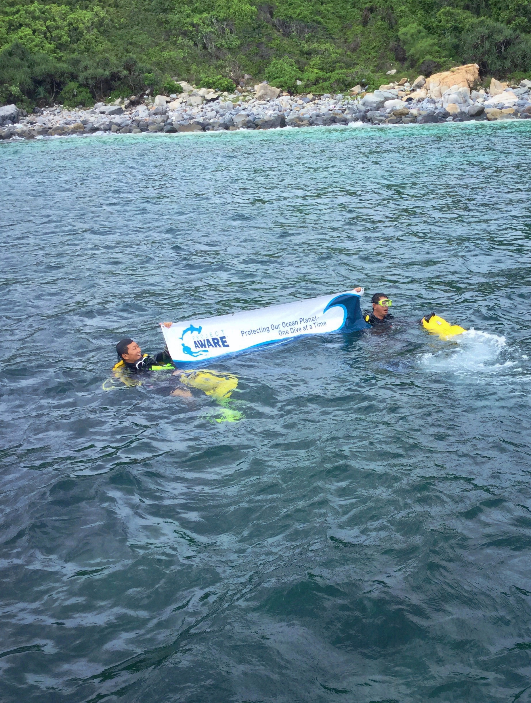
we think lots of cans and plastic food stuff near jetty locations we will return to that locations and see. we will be adopting this dive site in 2017.
tire
Resorts World Sentosa
Alex Walker
17
2
1
1
78.50
57
10.00
3.00
2
measured
1447.70
3
heavy vehicle tire
On
kilograms
I have debris data to report
1
Calm (glassy to rippled) for waves 0 – 0.1 meter high
1
m2


meters
coral reef
3
1
3
City
Singapore
Map Help
Dive Location
If you know your survey site coordinates, enter them manually in decimal degrees using WGS84 Map Datum. Use the minus sign for latitudes south of the equator and longitudes west of the Prime Meridian to 180 degrees.
If you do not know your survey site coordinates, click the “Map Location” tab to use the map to zoom into your survey site and drop the pin on the map to fall within your survey dive site in the water (not on land or the beach). Ensure you zoom in as much as possible to ensure data accuracy.
Entangled Help