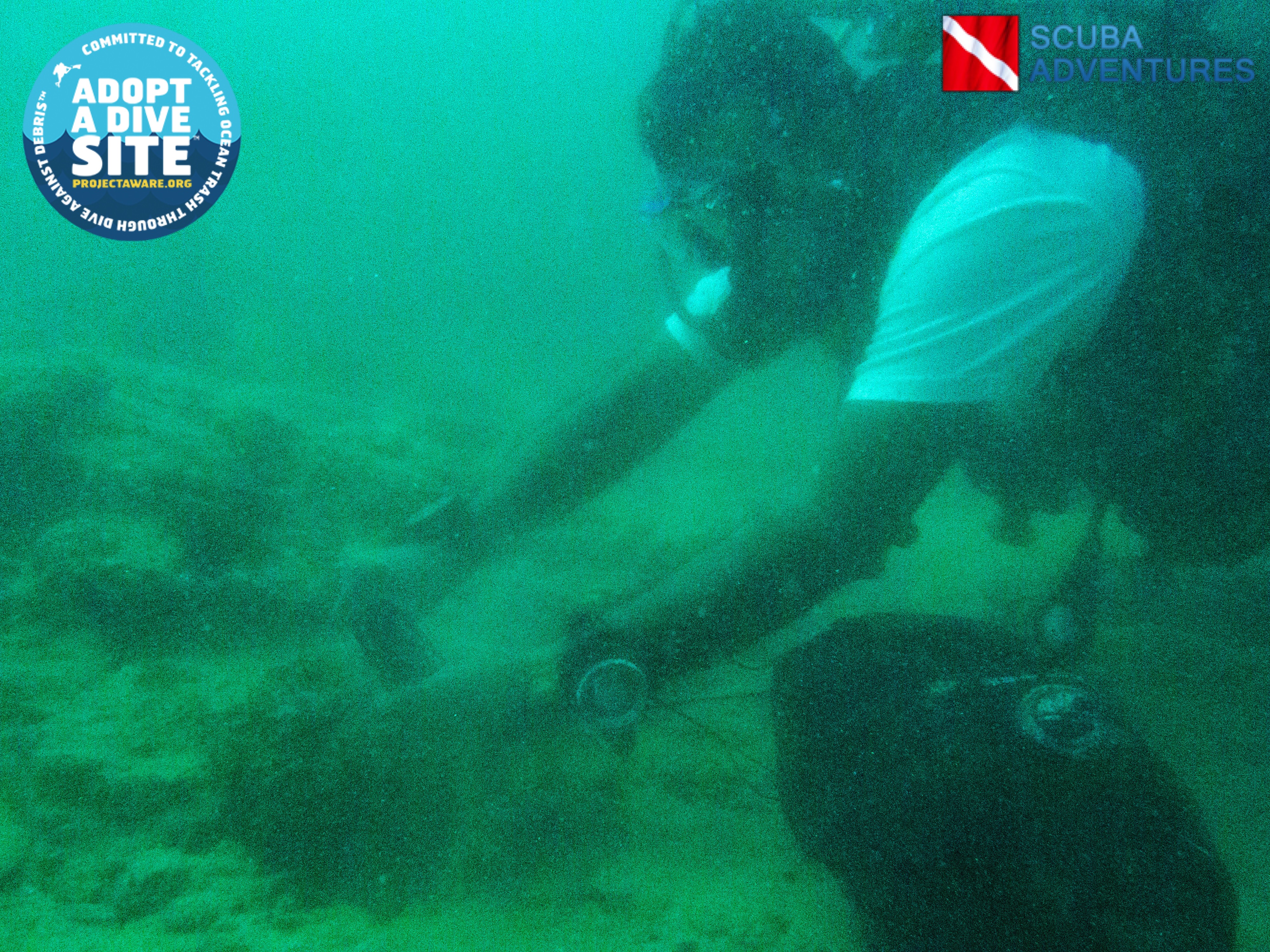
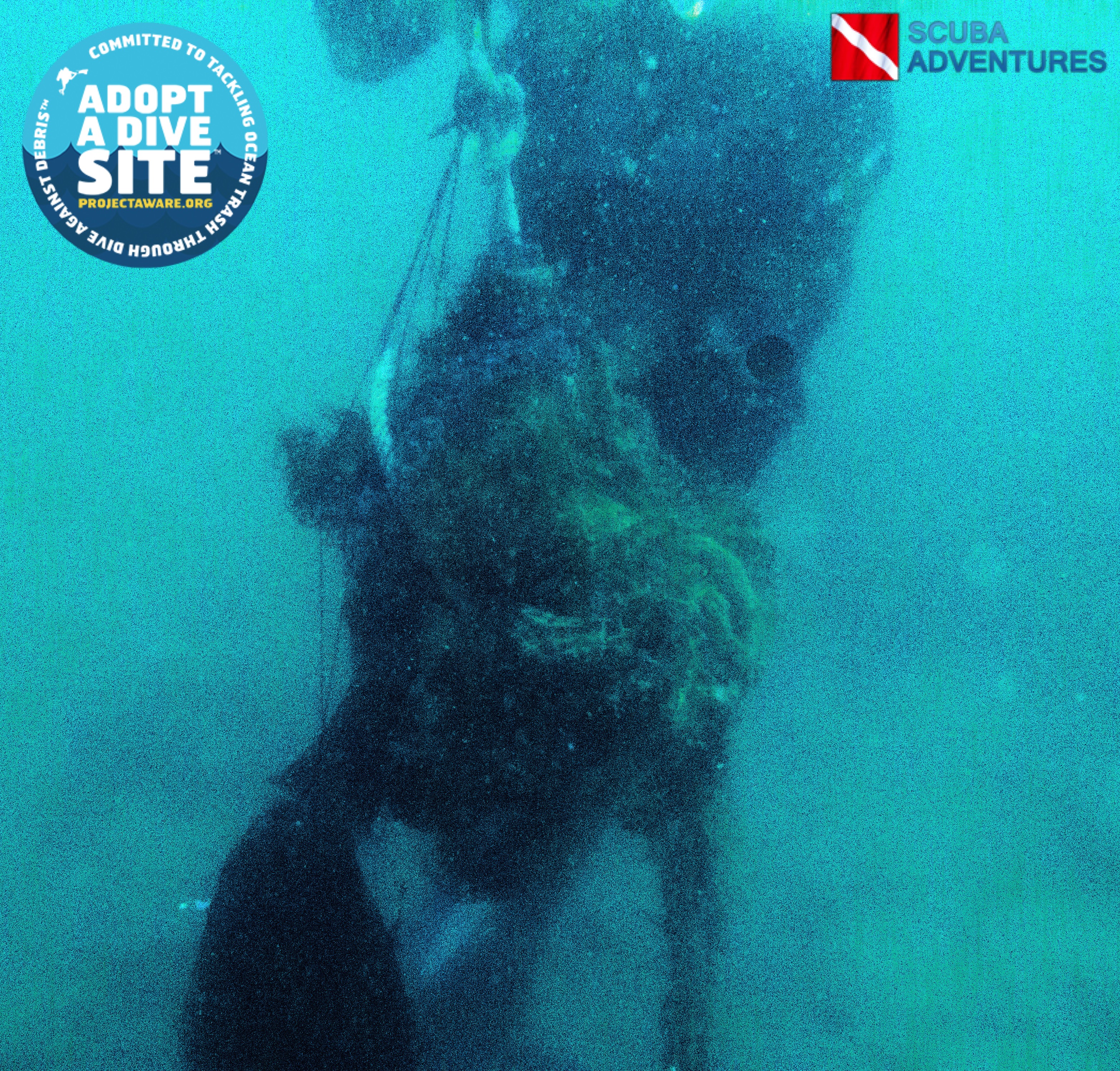
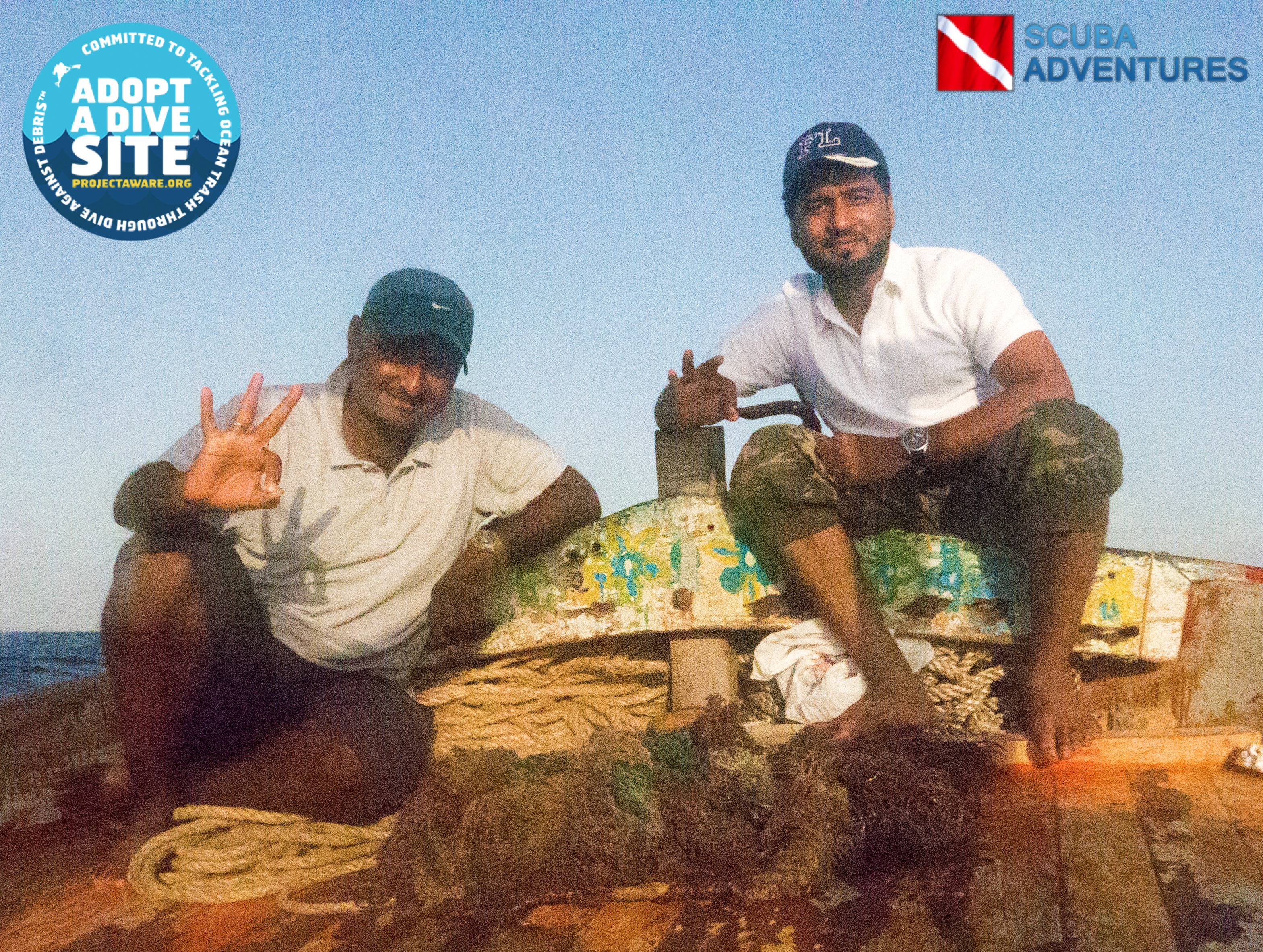
Anse Chastanet Reef
4
13.8655803439924, -61.07694625854492
16
13.864867874579563, -61.0782691239001
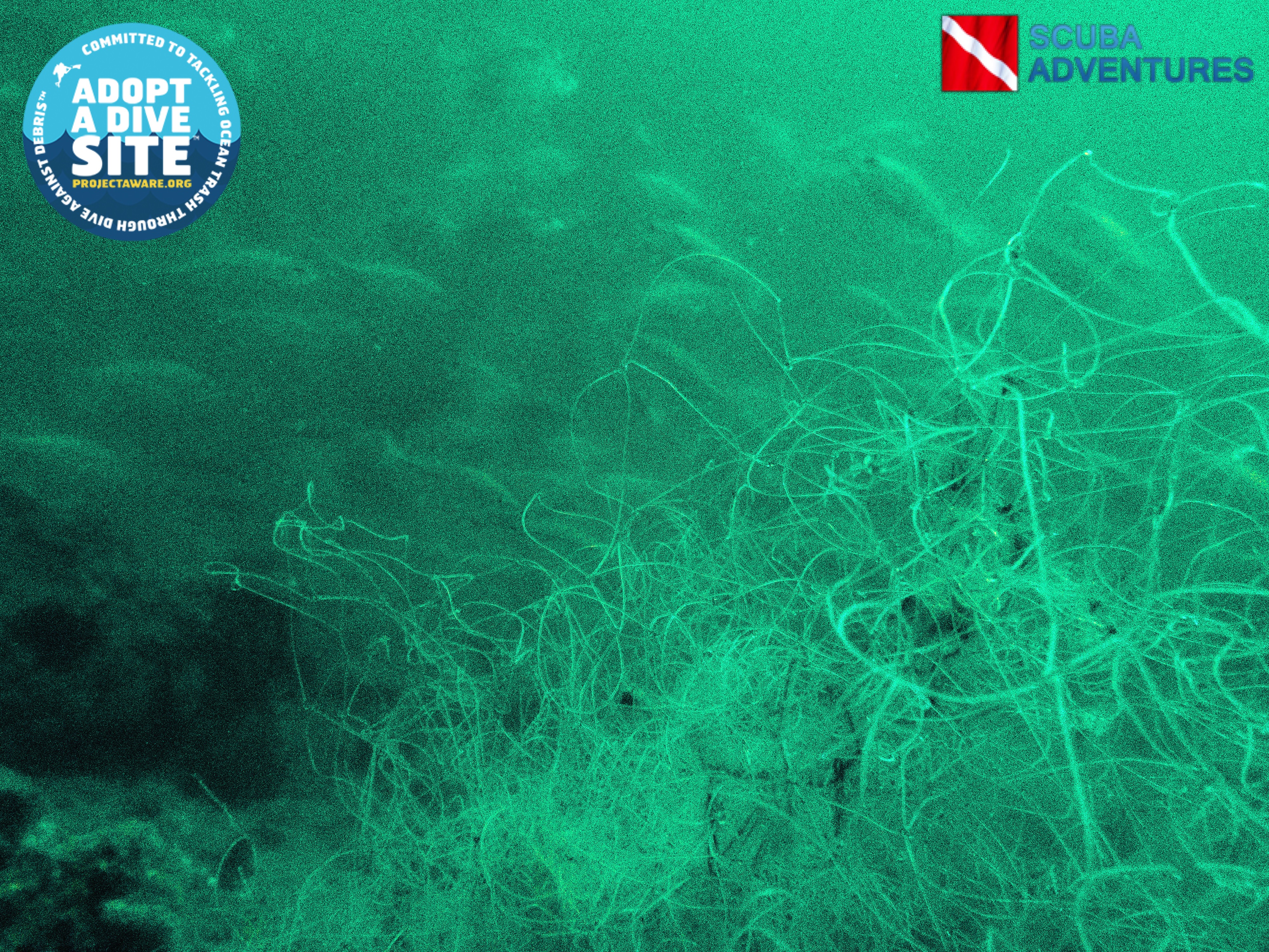
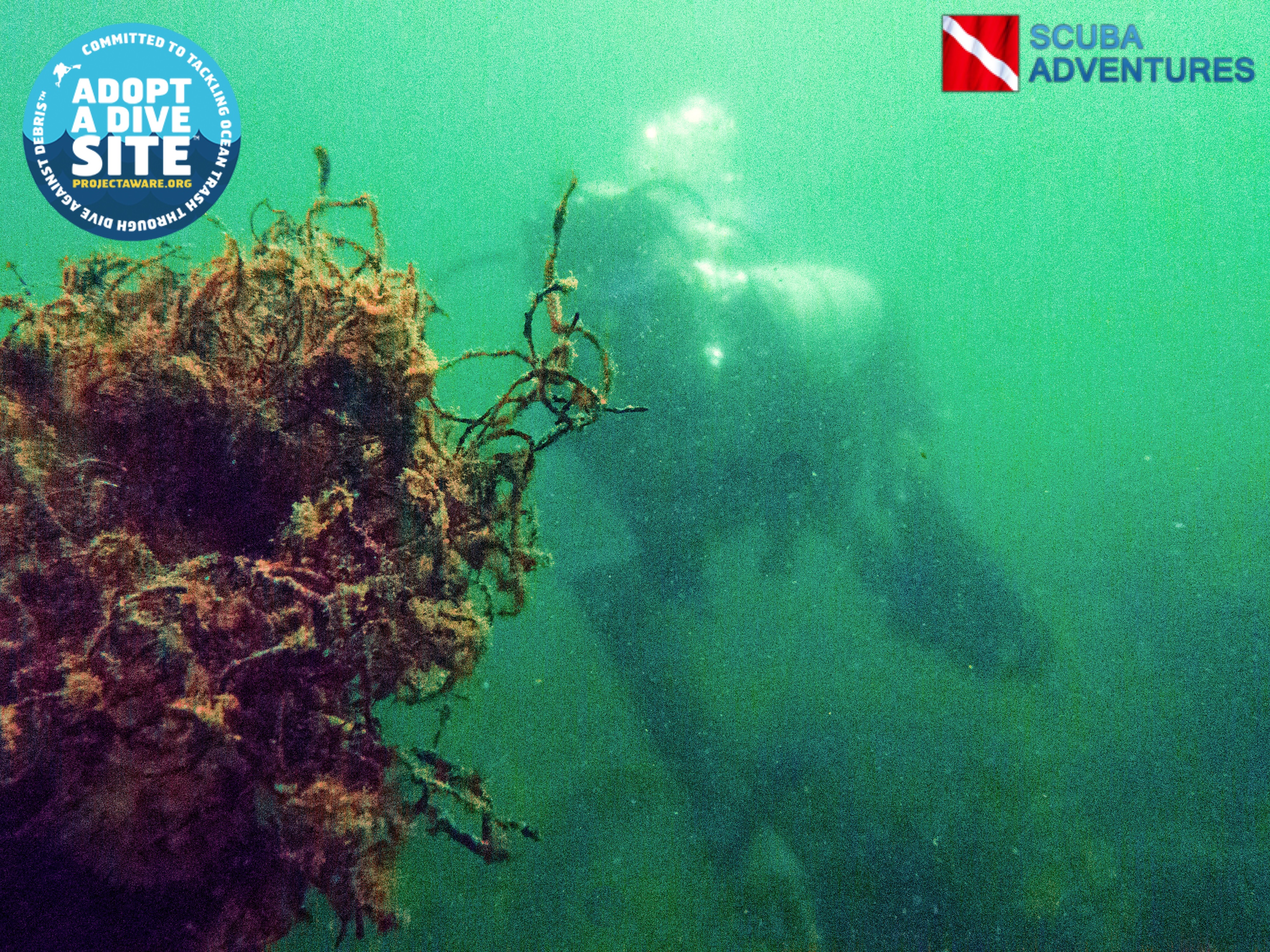
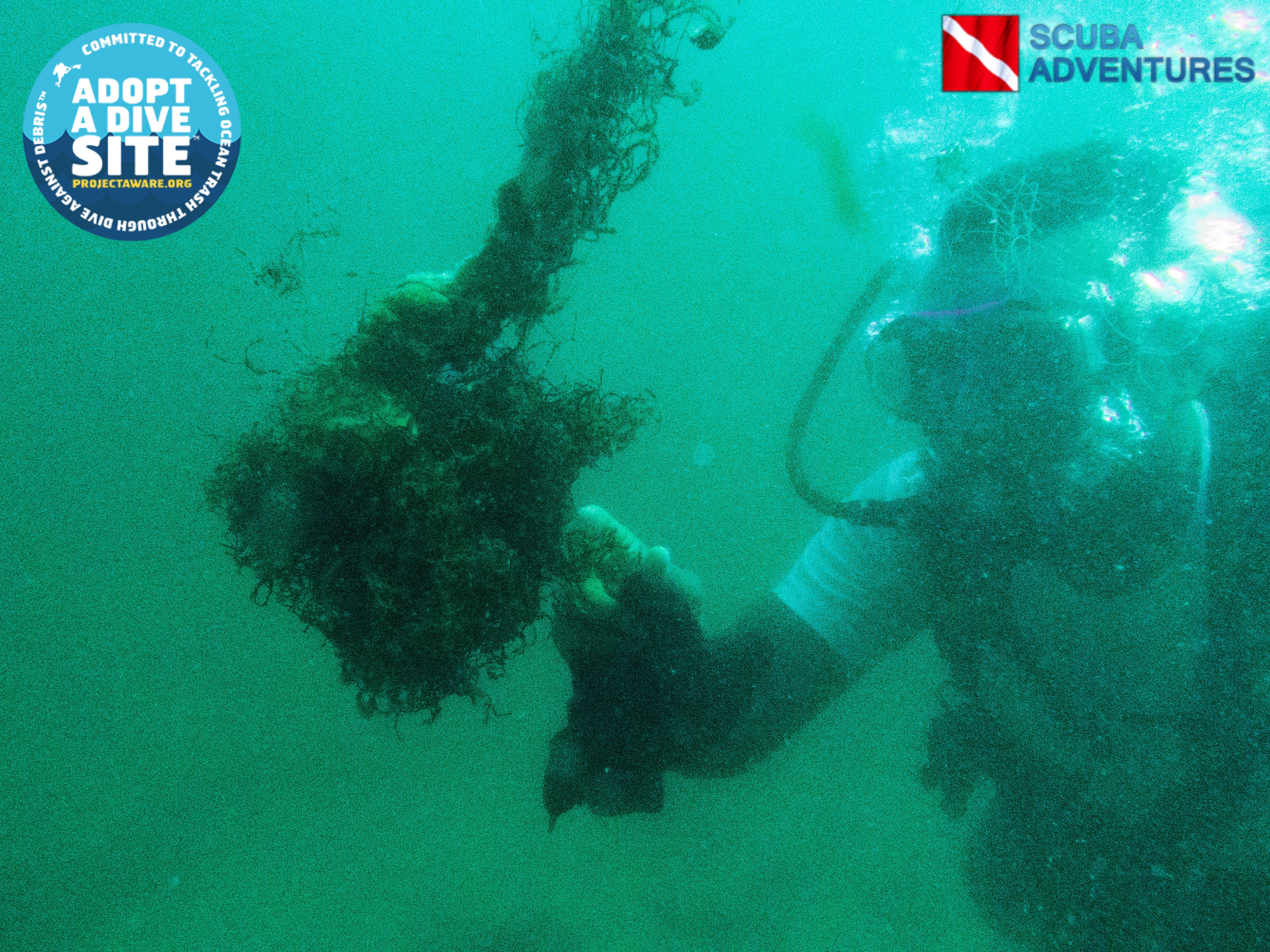
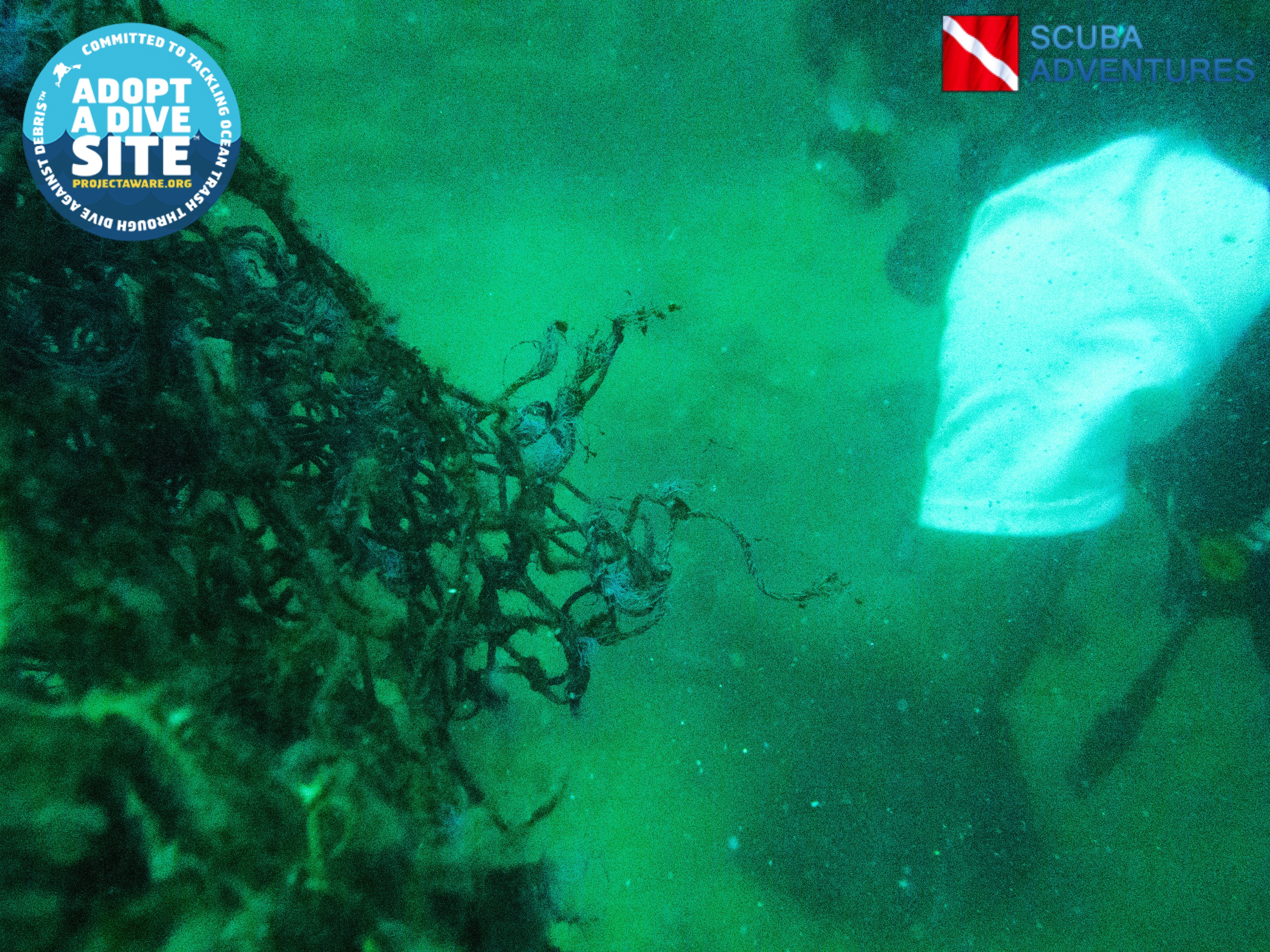
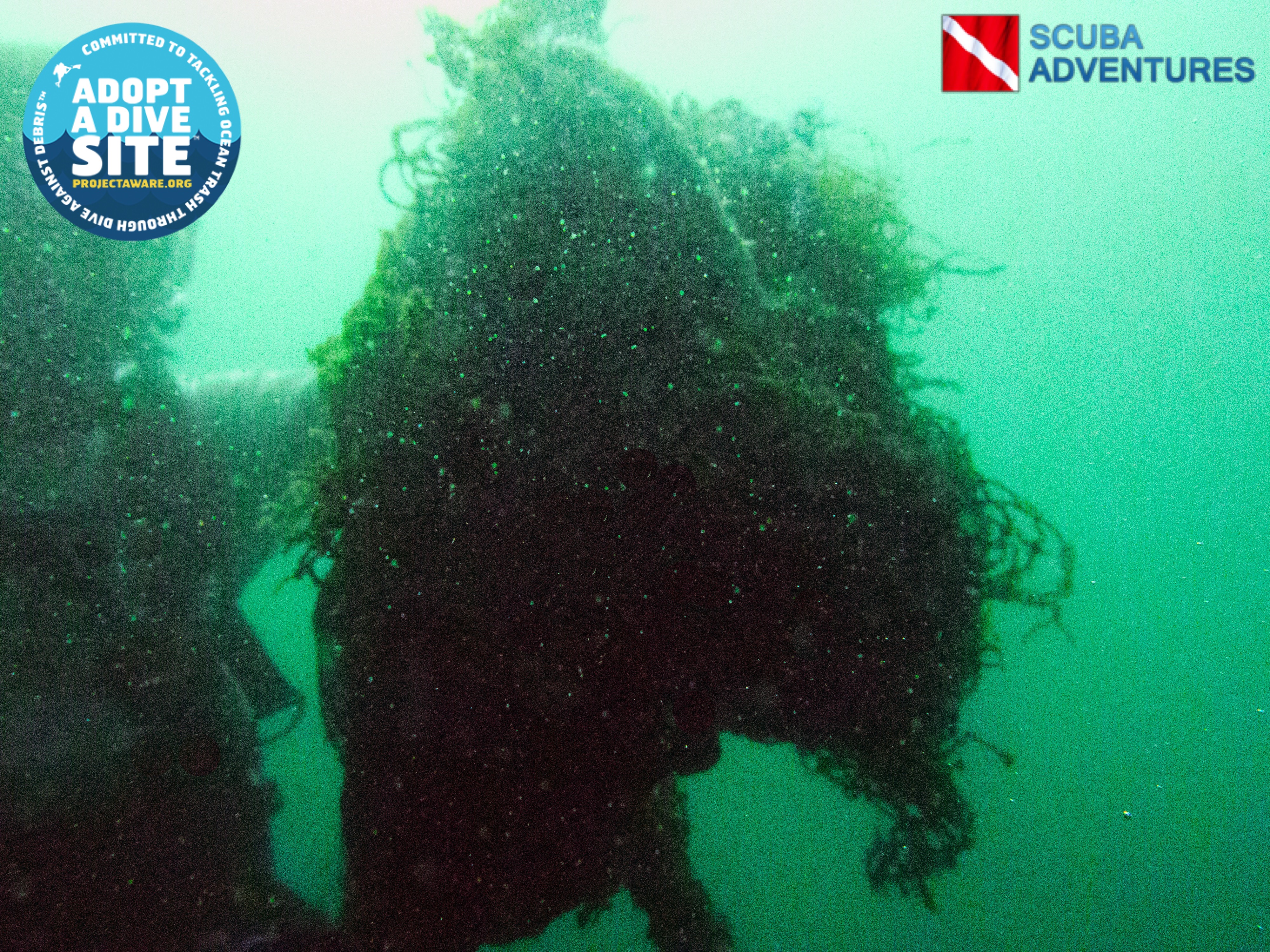
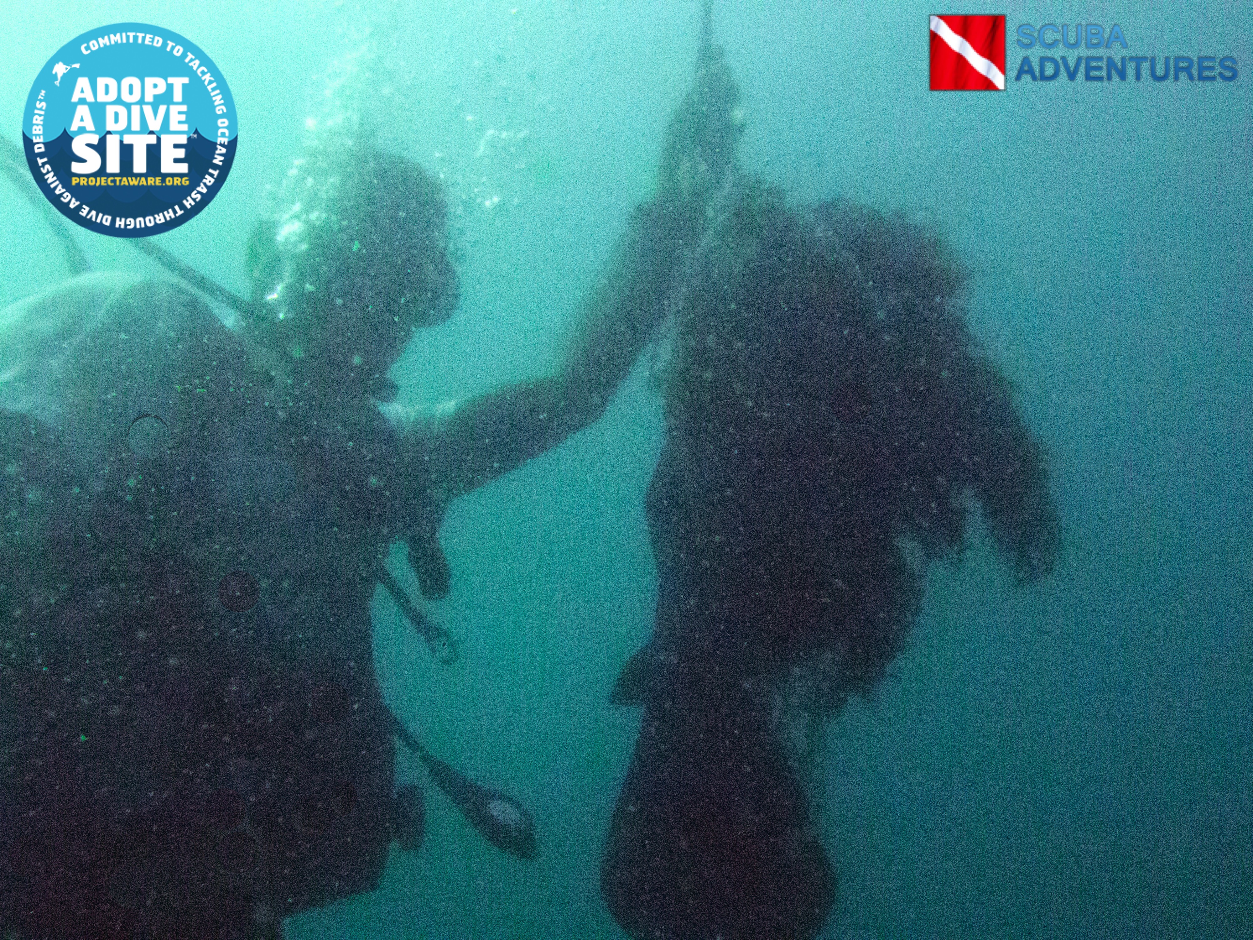
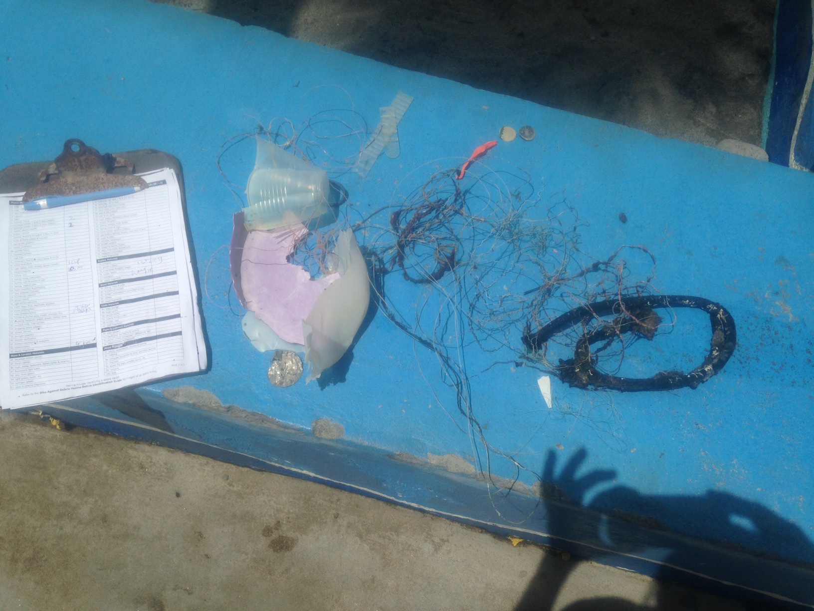
A tropical storm passed meaning more floating debris around
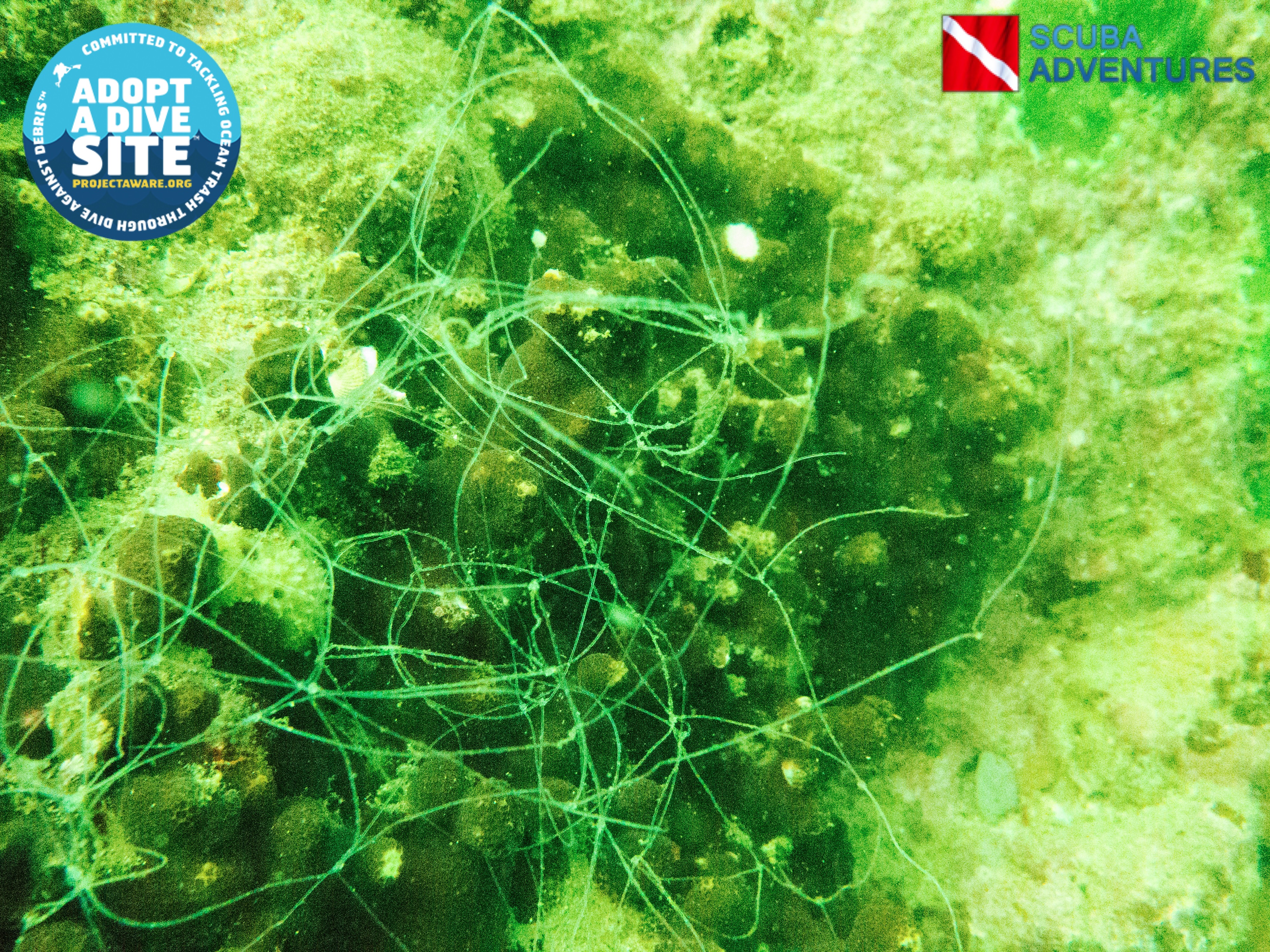
ends of mask straps
Tropical storm came through on the 28/10/2016- calm from 29th onwards
Scuba St Lucia
Charlotte Faulkner
1
2
2
2
2
2.00
62
85.00
15.00
2
estimated
663.00
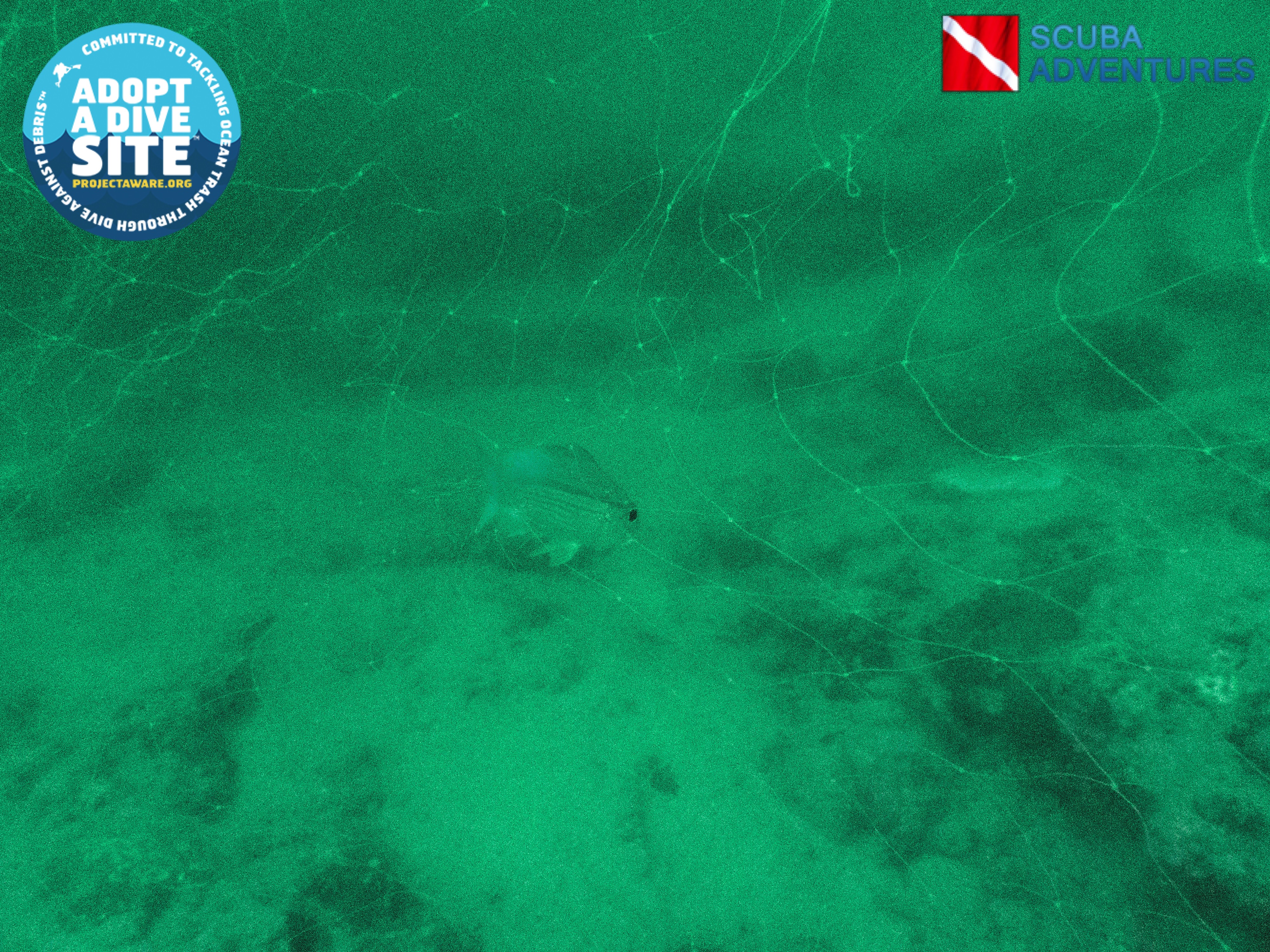
fishing line
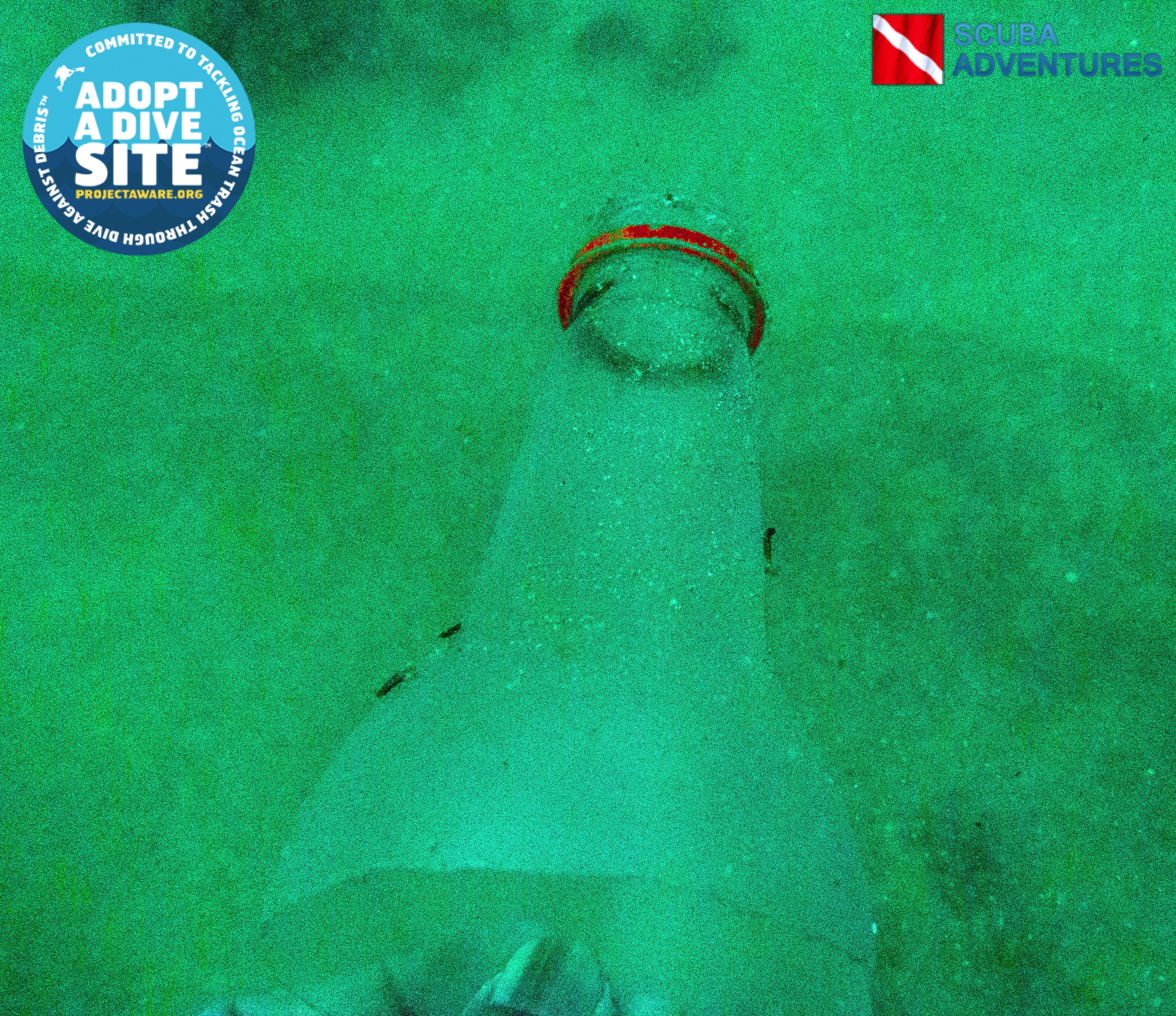
plastic bottles
plastic cups
1
On
pounds
I have debris data to report
Calm (glassy to rippled) for waves 0 – 0.1 meter high
ft2
2
feet
coral reef
City
Soufriere
Map Help
Dive Location
If you know your survey site coordinates, enter them manually in decimal degrees using WGS84 Map Datum. Use the minus sign for latitudes south of the equator and longitudes west of the Prime Meridian to 180 degrees.
If you do not know your survey site coordinates, click the “Map Location” tab to use the map to zoom into your survey site and drop the pin on the map to fall within your survey dive site in the water (not on land or the beach). Ensure you zoom in as much as possible to ensure data accuracy.
Entangled Help