Welland Rail Swing Bridge
12
25
16
3
silt
1
6
42.976876871393046, -79.25553219392896
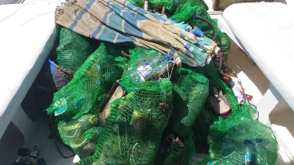
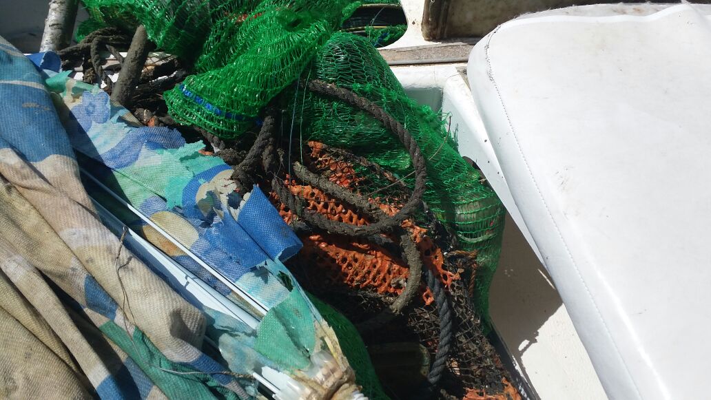
Large amount of bicycles and shopping carts- most likely thrown from the bridge.
Float Feast, local fisherman
Floodlights
Warm and rainy
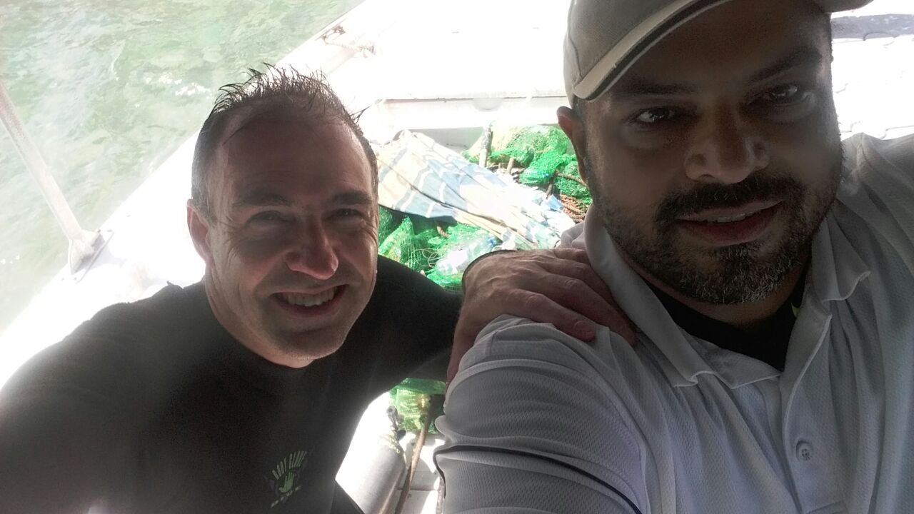
Dan's Dive Shop
Chris Foisey
1
10
1
3
5
12
1
9
15
5
60.30
180
30.00
5.00
measured
500.00
1
On
pounds
I have debris data to report
3
Calm (glassy to rippled) for waves 0 – 0.1 meter high
1
1
ft2

feet
other
4
3
9
2
43
1
State\Province
Ontario
City
St Catharines
Map Help
Dive Location
If you know your survey site coordinates, enter them manually in decimal degrees using WGS84 Map Datum. Use the minus sign for latitudes south of the equator and longitudes west of the Prime Meridian to 180 degrees.
If you do not know your survey site coordinates, click the “Map Location” tab to use the map to zoom into your survey site and drop the pin on the map to fall within your survey dive site in the water (not on land or the beach). Ensure you zoom in as much as possible to ensure data accuracy.
Entangled Help
Use the vertical tabs below to record any entangled animals you found of each type.
Ecosystem Other
Freshwater old canal