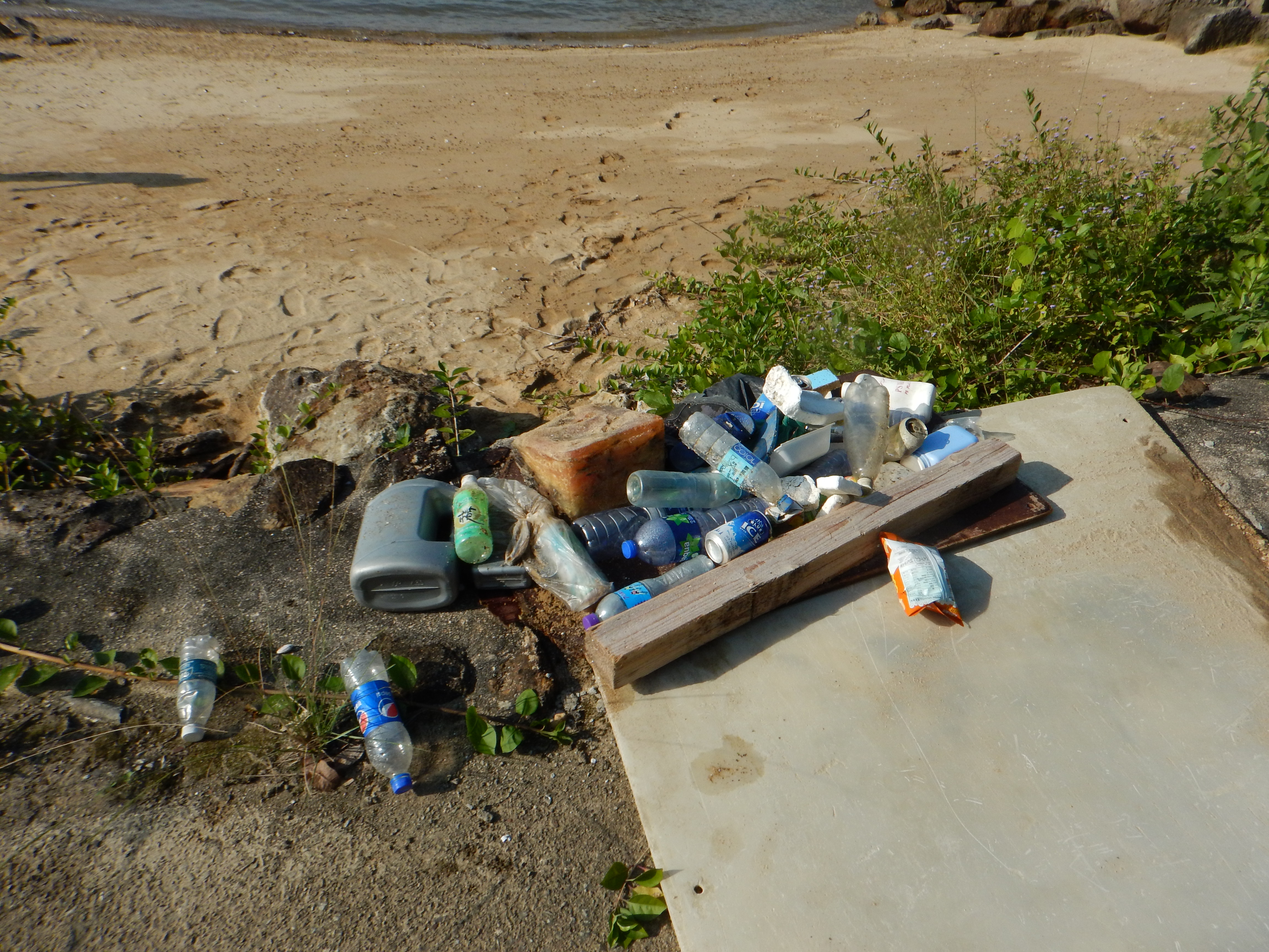
Due to bad weather and strong currents recently I believe that any debris was pushed off the reef. In the past I have found lots of plastic packet's etc
Heavy storms with large swells and strong current pushing south over the reef
Crystal Divers
Jonathan Forbes
1
0.00
36
27.00
16.00
estimated
400.00
On
kilograms
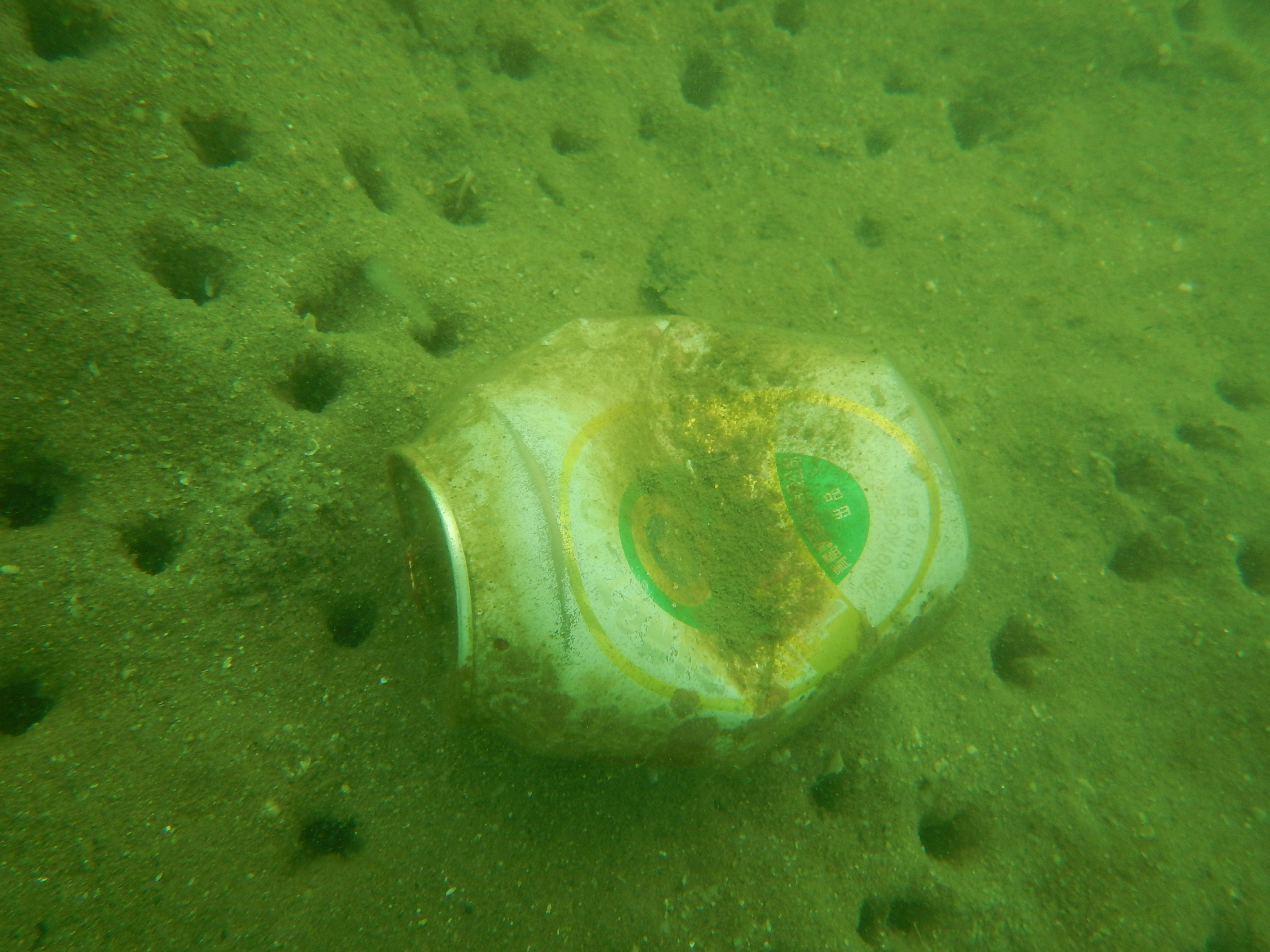
Our Survey Site was free of debris
Moderate to rough for waves greater than 1.25 meters
m2
meters
rocky reef
South Africa
State\Province
KwaZulu-Natal
City
Scottburgh
Map Help
Dive Location
If you know your survey site coordinates, enter them manually in decimal degrees using WGS84 Map Datum. Use the minus sign for latitudes south of the equator and longitudes west of the Prime Meridian to 180 degrees.
If you do not know your survey site coordinates, click the “Map Location” tab to use the map to zoom into your survey site and drop the pin on the map to fall within your survey dive site in the water (not on land or the beach). Ensure you zoom in as much as possible to ensure data accuracy.
Entangled Help
Use the vertical tabs below to record any entangled animals you found of each type.
Calm (glassy to rippled) for waves 0 – 0.1 meter high
4
m2
meters
coral reef
7
3
2
Language
English
Malaysia
State\Province
Sabah
City
Semporna
Map Help
Dive Location
If you know your survey site coordinates, enter them manually in decimal degrees using WGS84 Map Datum. Use the minus sign for latitudes south of the equator and longitudes west of the Prime Meridian to 180 degrees.
If you do not know your survey site coordinates, click the “Map Location” tab to use the map to zoom into your survey site and drop the pin on the map to fall within your survey dive site in the water (not on land or the beach). Ensure you zoom in as much as possible to ensure data accuracy.
Entangled Help
Use the vertical tabs below to record any entangled animals you found of each type.
As a part of DAD, we also did the beach cleanup which added almost 60 kilograms of waste. Major part of the recovered underwater debris was a fishing net which alone was 25 kilograms of weight.
shoe
Rain
Liquid Dive Dumaguete
Berlinda Koolen
8
27.00
42
14.00
3.00
measured
6968.70
Fishing line - wrapped around alot of coral with fish hooks hooked into sponges
On
kilograms
I have debris data to report
Smooth (wavelets) for waves 0.1 - 0.5 meter high
1
1
m2
meters
coral reef
1
Language
English
Philippines
State\Province
Negros Oriental
City
Dauin
Map Help
Dive Location
If you know your survey site coordinates, enter them manually in decimal degrees using WGS84 Map Datum. Use the minus sign for latitudes south of the equator and longitudes west of the Prime Meridian to 180 degrees.
If you do not know your survey site coordinates, click the “Map Location” tab to use the map to zoom into your survey site and drop the pin on the map to fall within your survey dive site in the water (not on land or the beach). Ensure you zoom in as much as possible to ensure data accuracy.
Entangled Help
Use the vertical tabs below to record any entangled animals you found of each type.
plastic sheet, rarely to found but large size (about 1m * 2m)
On
kilograms
I have debris data to report
1
Smooth (wavelets) for waves 0.1 - 0.5 meter high
m2
meters
rocky reef
3
Language
English
Hong Kong S.A.R., China
City
Sai Kung
Map Help
Dive Location
If you know your survey site coordinates, enter them manually in decimal degrees using WGS84 Map Datum. Use the minus sign for latitudes south of the equator and longitudes west of the Prime Meridian to 180 degrees.
If you do not know your survey site coordinates, click the “Map Location” tab to use the map to zoom into your survey site and drop the pin on the map to fall within your survey dive site in the water (not on land or the beach). Ensure you zoom in as much as possible to ensure data accuracy.
Entangled Help
Use the vertical tabs below to record any entangled animals you found of each type.
The weather for the past week has been reasonably calm and sunny for this time of year.The winds were predominately Easteries. However, for the past few days, the wind has become a lot stronger and sea conditions have been quite rough.
Emma Christison
3
6
1
13.00
40
4.00
1.00
5
measured
1
1000.00
monfilament net
fishing line
On
kilograms
I have debris data to report
Moderate to rough for waves greater than 1.25 meters
monfilament net
spider crab
Dead
2
m2
2
meters
rocky reef
Language
English
United Kingdom
State\Province
Dorset
City
Poole
Map Help
Dive Location
If you know your survey site coordinates, enter them manually in decimal degrees using WGS84 Map Datum. Use the minus sign for latitudes south of the equator and longitudes west of the Prime Meridian to 180 degrees.
If you do not know your survey site coordinates, click the “Map Location” tab to use the map to zoom into your survey site and drop the pin on the map to fall within your survey dive site in the water (not on land or the beach). Ensure you zoom in as much as possible to ensure data accuracy.
Entangled Help
Use the vertical tabs below to record any entangled animals you found of each type.
The lake was still about 50 feet lower than it usually is.
With the weather cooling down at night we have more campers at the lake and the water is still in the high 70's so it draws more people into the lake, and with more people comes more trash.
I would like to thank everyone who came out to support our clean up event and local lake! I would also like to thank Maricopa County officials for coming out and helping us. It takes a lot of work to clean up the amount of trash that people leave behind so its up to us to clean it up and work on preventing trash debris. We couldnt have pulled up all that trash without the combined effort of everyone! Thank you !
One craw dad was inside a beer can blocked in by a plastic bag, the second one was wrapped in nylon string.
The most unusual items found were some truck flooring and a ceramic pot.
Calm and Warm we had very little wind the last week and it started to warm back up into the high 90's . Water tempatures ranged from 73-77 during the week.
Maricopa County
Deanna and Chance
5
2
0
15
50
2
0
0
1
3
6
5
0
0
10
6
1
300
6
11
2
0
0
0
0
6
152
0
0
60
2
4
10
0
0
0
225.50
50
58.00
15.00
0
measured
0
0
0
3
60624.60
0
0
0
12
0
Aluminum cans
Styrofoam
Plastic Bags
10
On
pounds
0
I have debris data to report
25
2
0
Calm (glassy to rippled) for waves 0 – 0.1 meter high
3
12
23
Beer can , string
CrayFish
Released Unharmed
2
0
23
0
0
ft2
5
0
feet
rocky reef
12
0
0
0
6
16
0
56
0
12
0
0
0
15
0
3
12
256
0
0
6
0
26
0
10
0
5
0
0
Language
English
United States
State\Province
Arizona
City
Peoria
Map Help
Dive Location
If you know your survey site coordinates, enter them manually in decimal degrees using WGS84 Map Datum. Use the minus sign for latitudes south of the equator and longitudes west of the Prime Meridian to 180 degrees.
If you do not know your survey site coordinates, click the “Map Location” tab to use the map to zoom into your survey site and drop the pin on the map to fall within your survey dive site in the water (not on land or the beach). Ensure you zoom in as much as possible to ensure data accuracy.
Entangled Help
Use the vertical tabs below to record any entangled animals you found of each type.
The area around the pipes I had been cutting massive fishing nets/ropes from earlier in the spring seemed to have cleared up and is now no longer covered by sand. I didn't have my knife with me on this survey, but on the next trip be able to once again clear some of that debris.
Seems to be an an over-abundance of gloves. Alot of the trash seemed to be older than usual, and I guess much of it was turned up by the typhoon last week
The leg portion of some type of heavy rubber suit
Mostly clear. Category 1-2 typhoon hit the area a week ago
1
1
flashlight w/ battery
Lobster Toy
Dive Against Debris Korea (Daegu)
William Henderson
1
1
1
3
3
2
4
1
14.00
52
4.00
0.50
estimated
112.00
4
4
cloth gloves
plastic gloves
On
kilograms
I have debris data to report
1
Calm (glassy to rippled) for waves 0 – 0.1 meter high
1
1
5
16
m2
6
meters
rocky reef
3
1
2
5
Language
English
South Korea
State\Province
Gyeongsang-bukdo
City
Pohang
Map Help
Dive Location
If you know your survey site coordinates, enter them manually in decimal degrees using WGS84 Map Datum. Use the minus sign for latitudes south of the equator and longitudes west of the Prime Meridian to 180 degrees.
If you do not know your survey site coordinates, click the “Map Location” tab to use the map to zoom into your survey site and drop the pin on the map to fall within your survey dive site in the water (not on land or the beach). Ensure you zoom in as much as possible to ensure data accuracy.
Entangled Help
Use the vertical tabs below to record any entangled animals you found of each type.
Calm (glassy to rippled) for waves 0 – 0.1 meter high
m2
meters
seagrass
3
1
Language
English
Greece
State\Province
Samos
City
Samos
Map Help
Dive Location
If you know your survey site coordinates, enter them manually in decimal degrees using WGS84 Map Datum. Use the minus sign for latitudes south of the equator and longitudes west of the Prime Meridian to 180 degrees.
If you do not know your survey site coordinates, click the “Map Location” tab to use the map to zoom into your survey site and drop the pin on the map to fall within your survey dive site in the water (not on land or the beach). Ensure you zoom in as much as possible to ensure data accuracy.
Entangled Help
Use the vertical tabs below to record any entangled animals you found of each type.
No, this was during an Open Water Diver course that I picked up the reported debris.
Andark lake is a manmade diving/training facility. It is very clean and full of insect life and plants. No fish reported yet. The lake is about 3 years old. As it is maintained really well, it was surprising to find any debris at all.
Golfbal
Andark
Margriet Schuur
3
4
1
1.00
22
7.00
4.00
estimated
200.00
On
kilograms
I have debris data to report
Calm (glassy to rippled) for waves 0 – 0.1 meter high
m2
meters
other
Language
English
United Kingdom
City
Southampton
Map Help
Dive Location
If you know your survey site coordinates, enter them manually in decimal degrees using WGS84 Map Datum. Use the minus sign for latitudes south of the equator and longitudes west of the Prime Meridian to 180 degrees.
If you do not know your survey site coordinates, click the “Map Location” tab to use the map to zoom into your survey site and drop the pin on the map to fall within your survey dive site in the water (not on land or the beach). Ensure you zoom in as much as possible to ensure data accuracy.
Entangled Help
Use the vertical tabs below to record any entangled animals you found of each type.