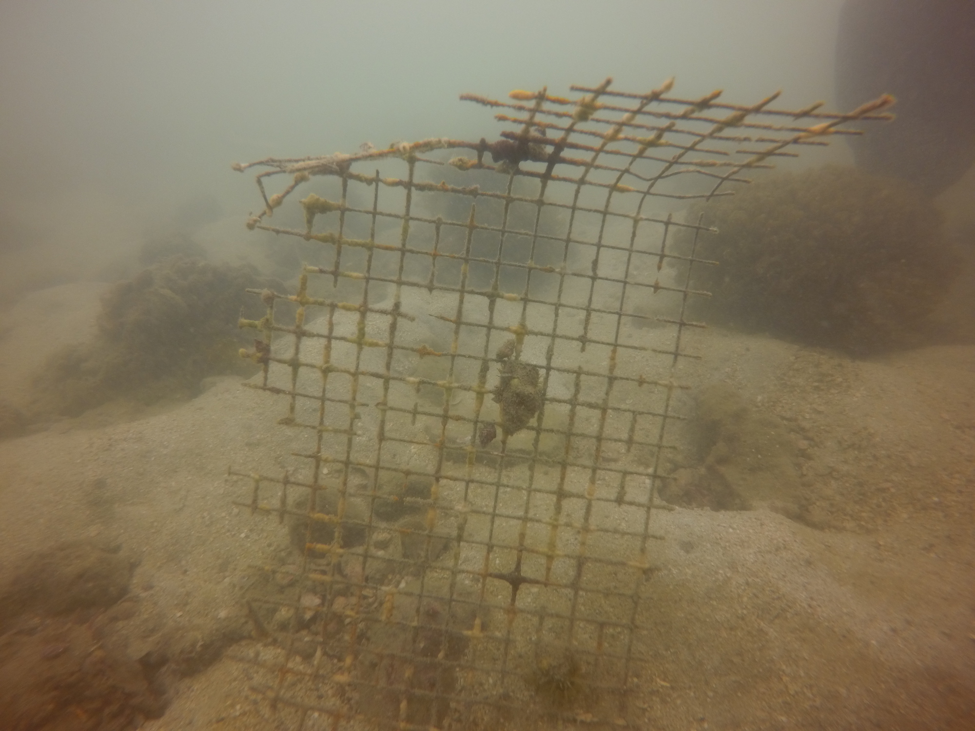
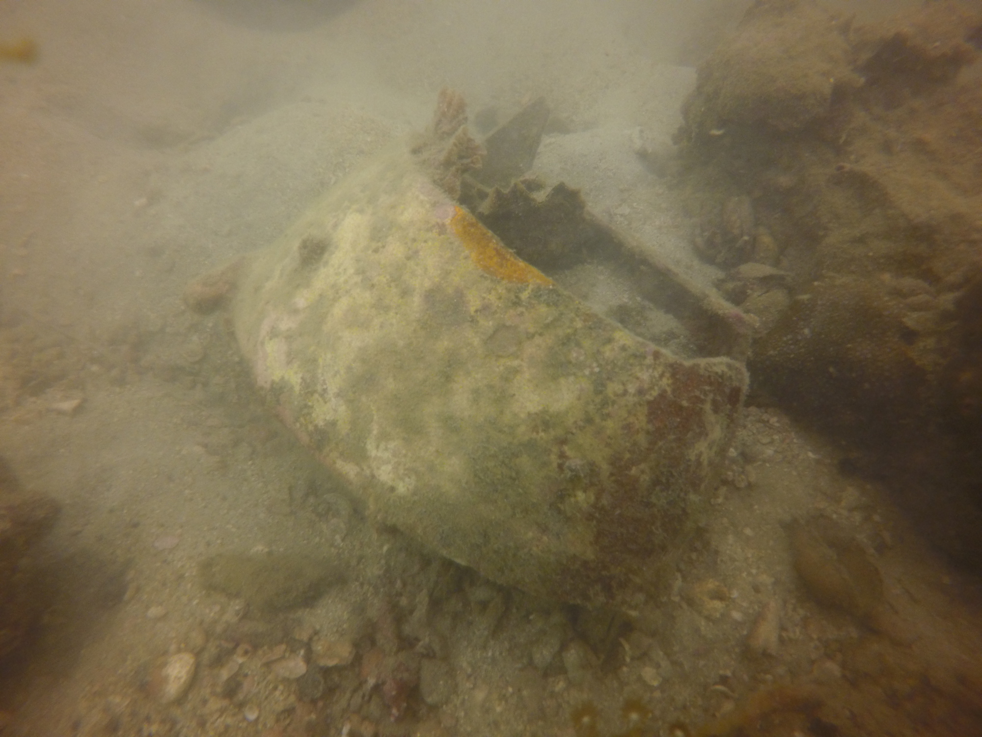
ADS181 - Christmas Tree Reef
20
34
2
33.85755, -112.294826
3
silt
9
3
1
12
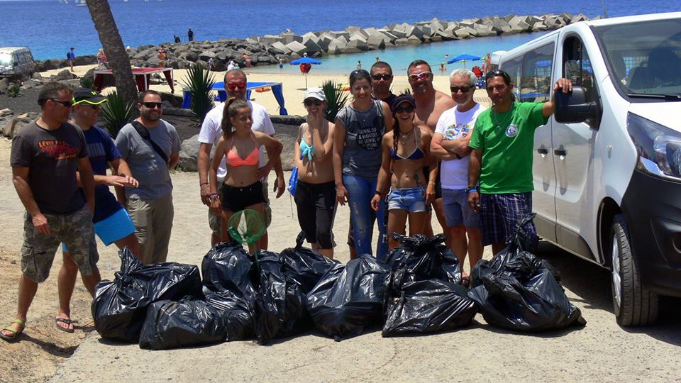
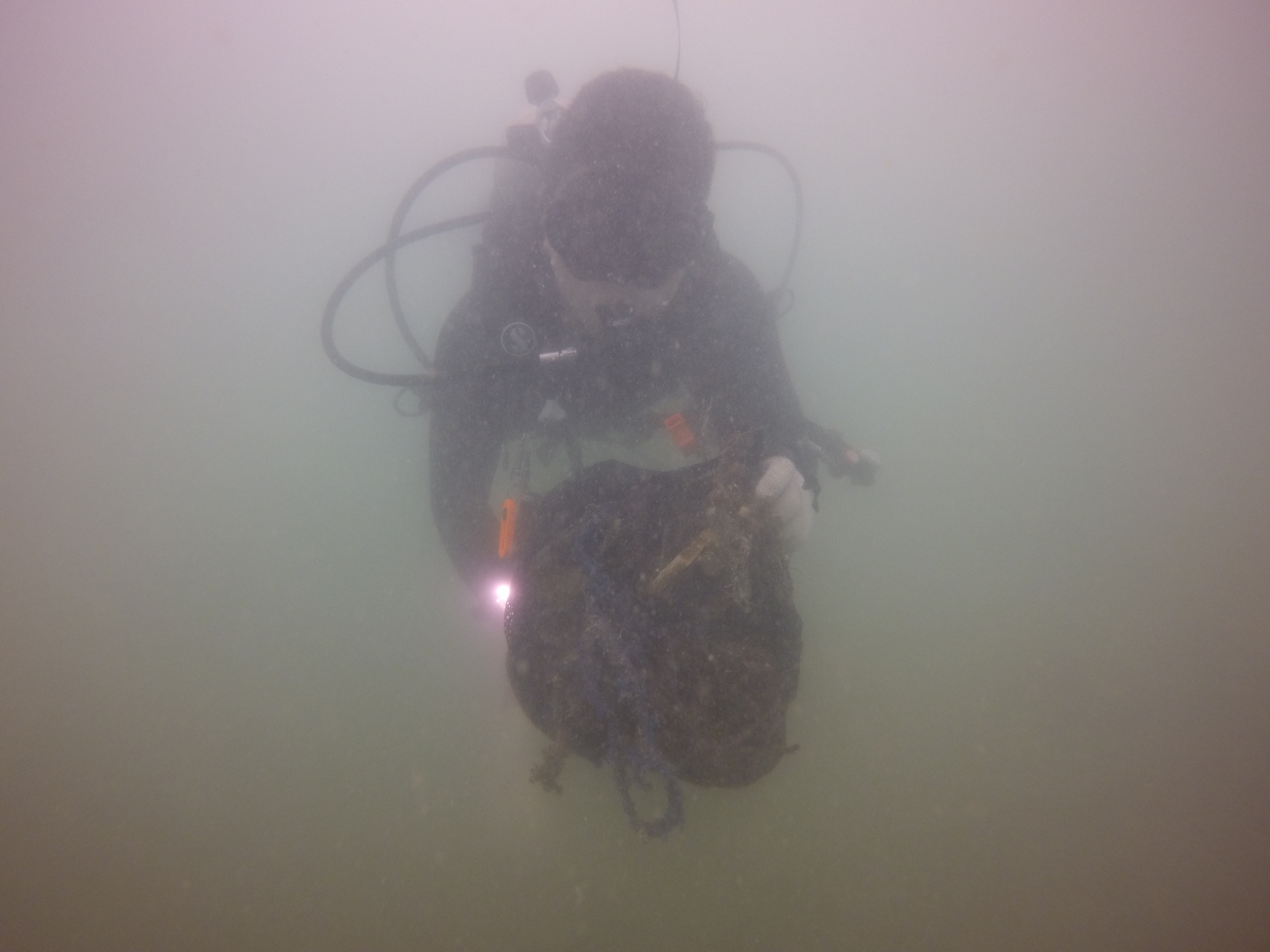
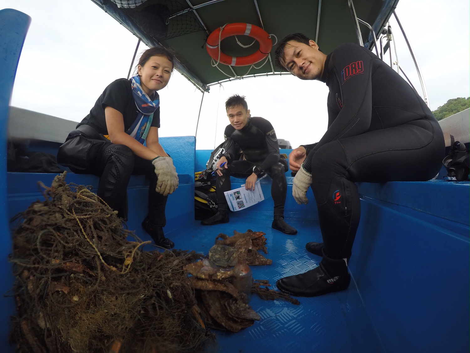
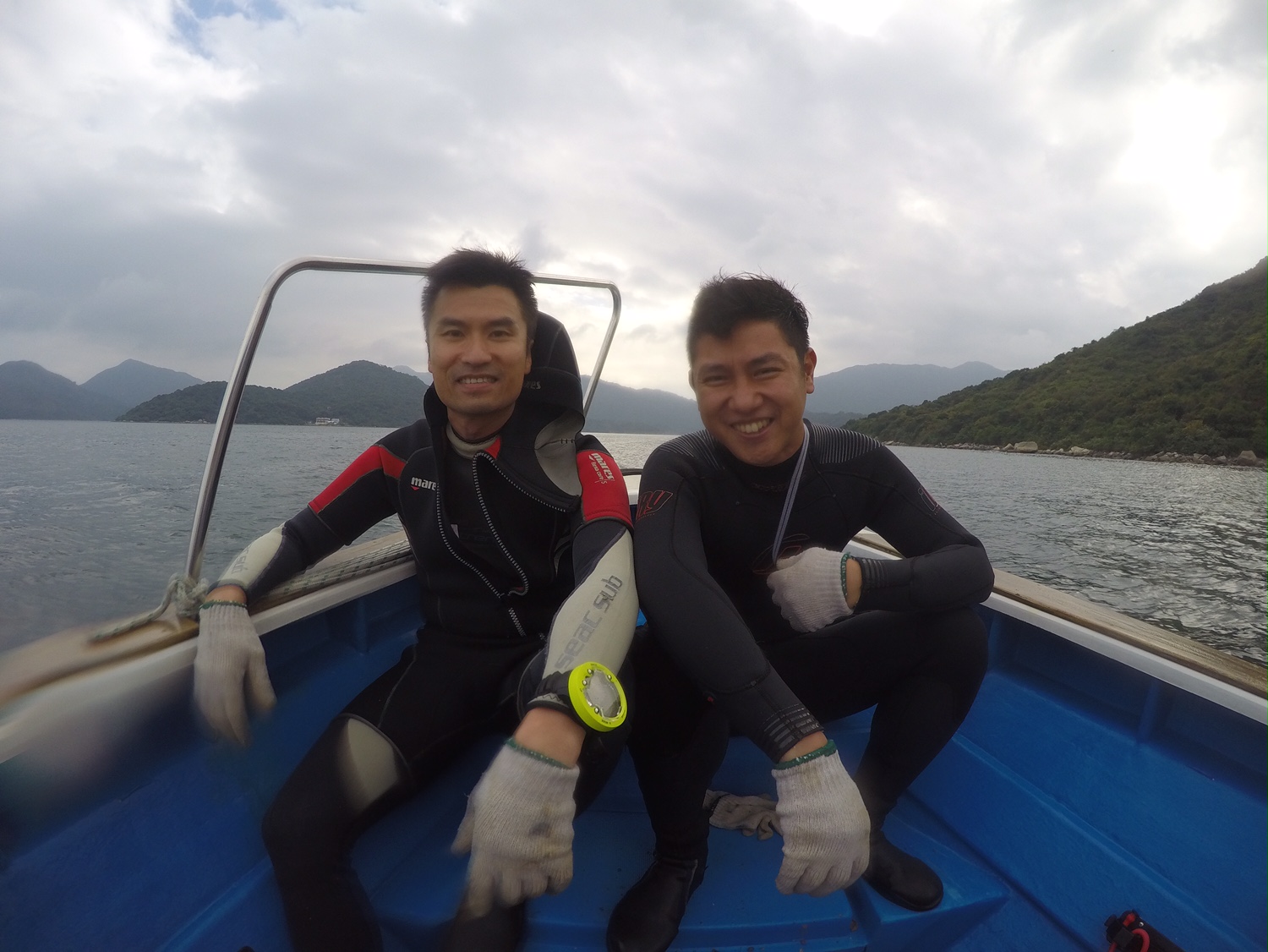
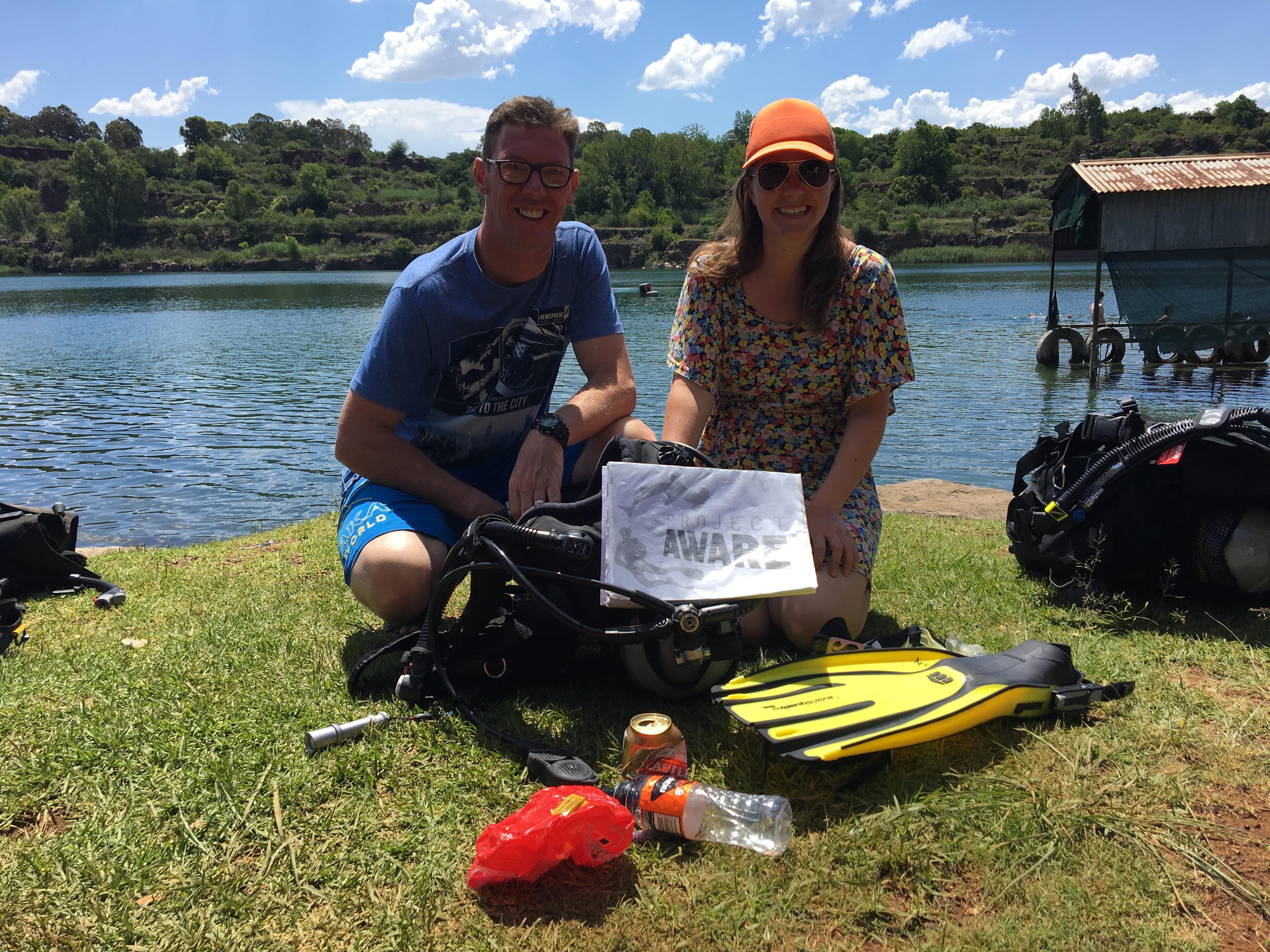
I would like to thank everyone who came out to help! This month we hit 509.15 pound of trash cleaned up and I am so proud of all the hard work everyone has put into this !
It is camping season so I imagine a lot of this trash is from campers.
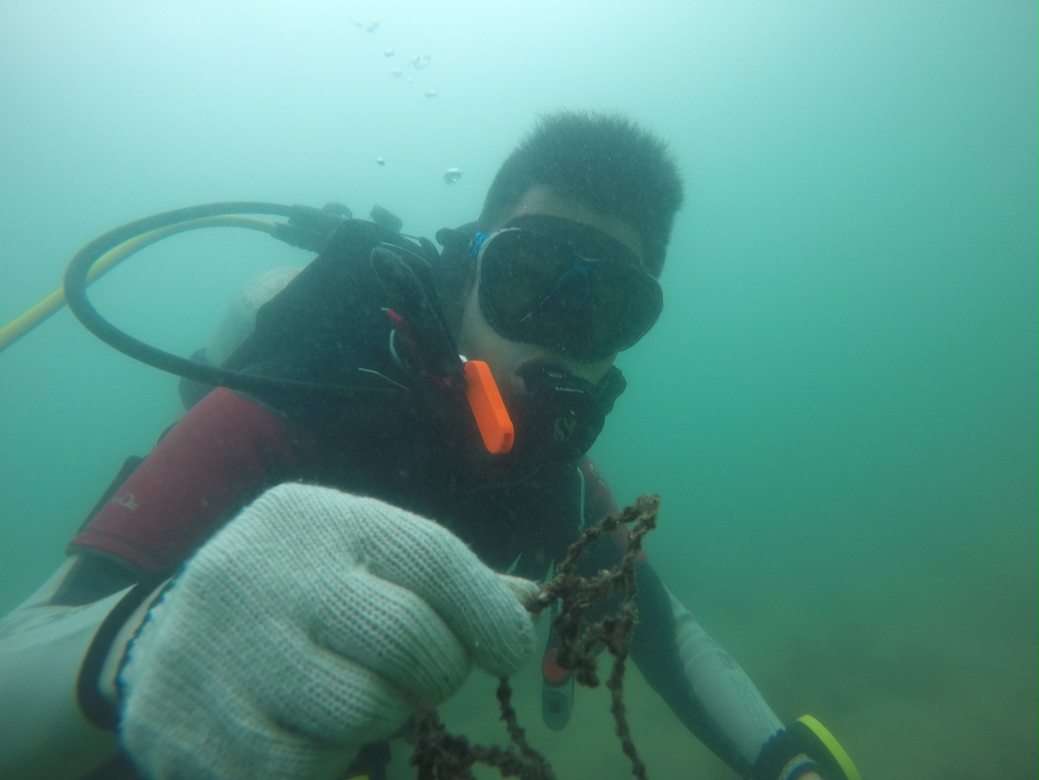
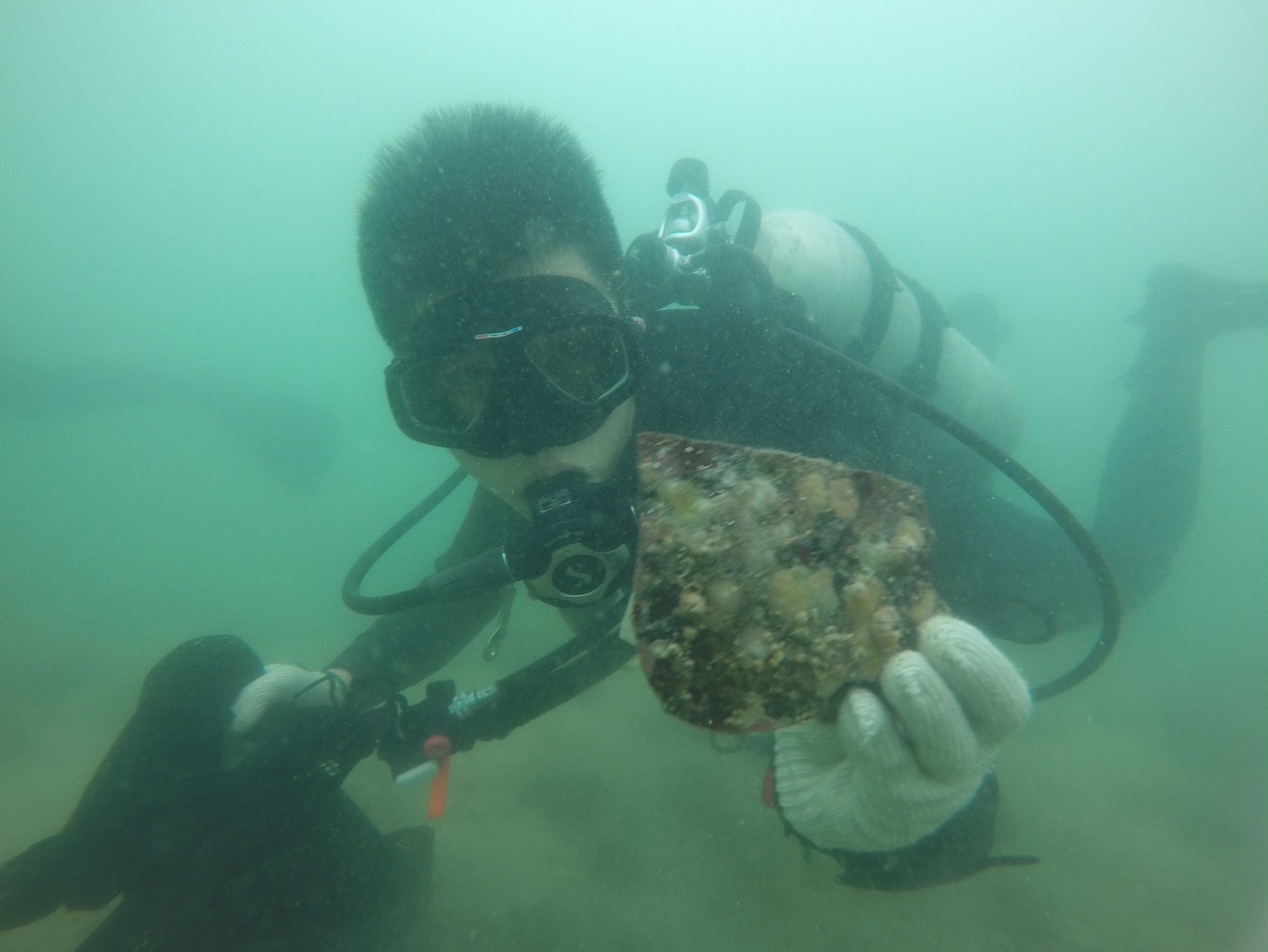
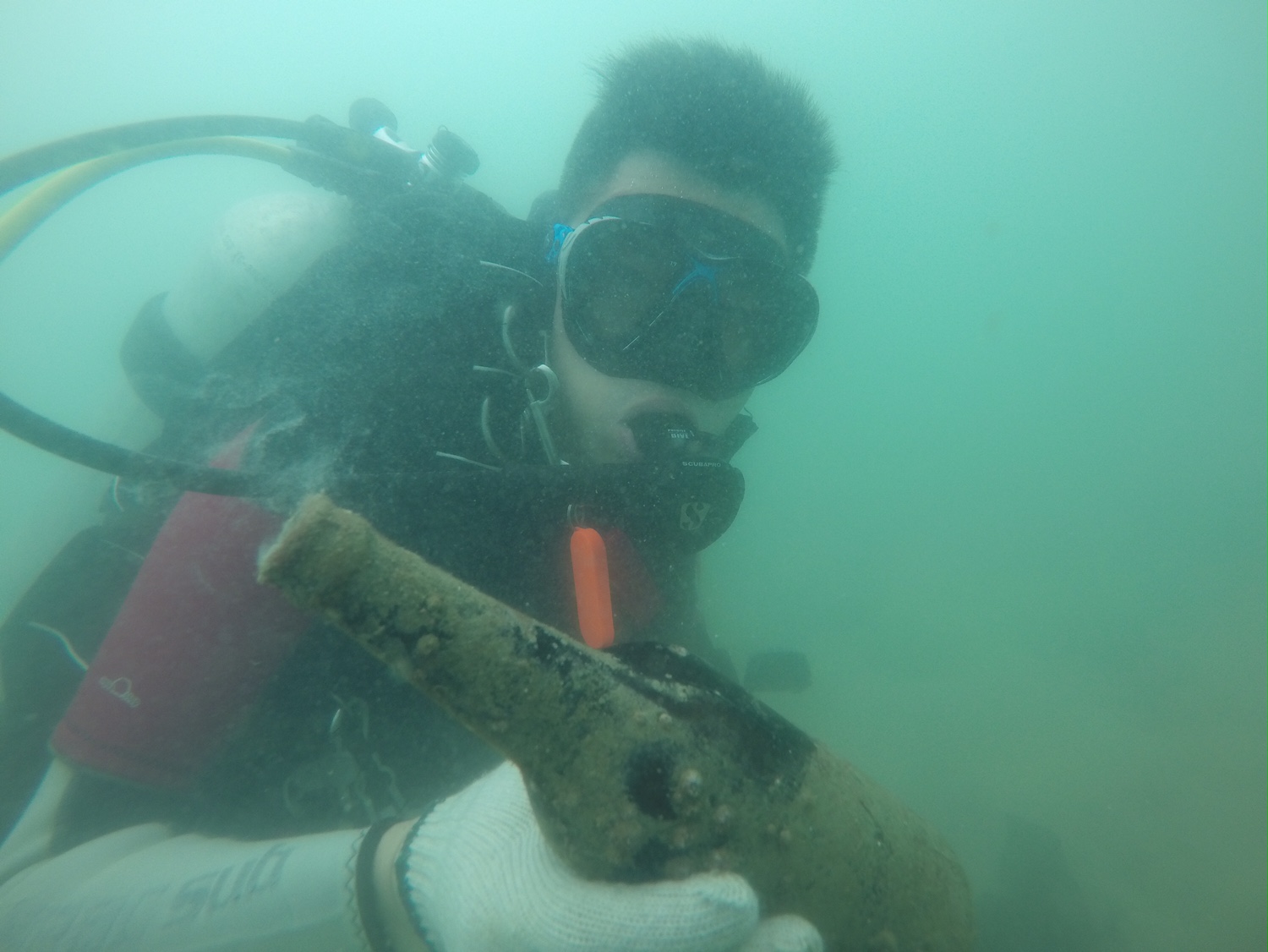
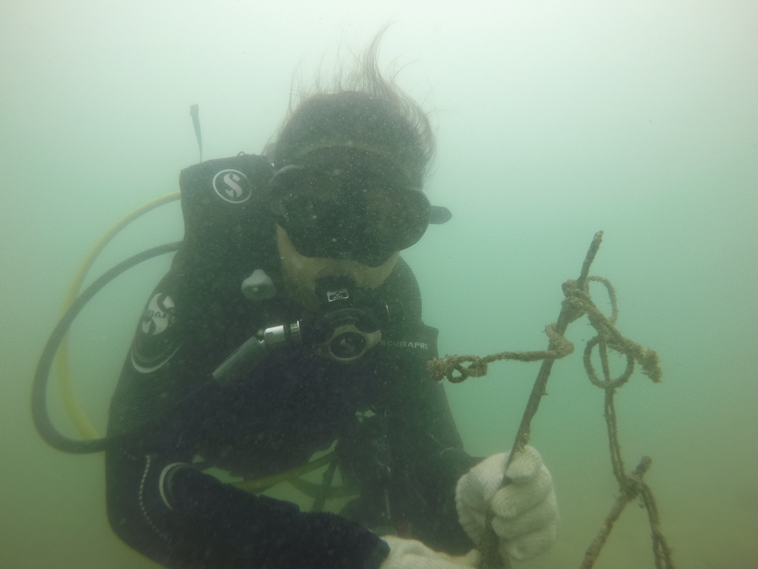
Christmas tree reef is starting to show improvements! There was a lot less trash this month compared to previous months.
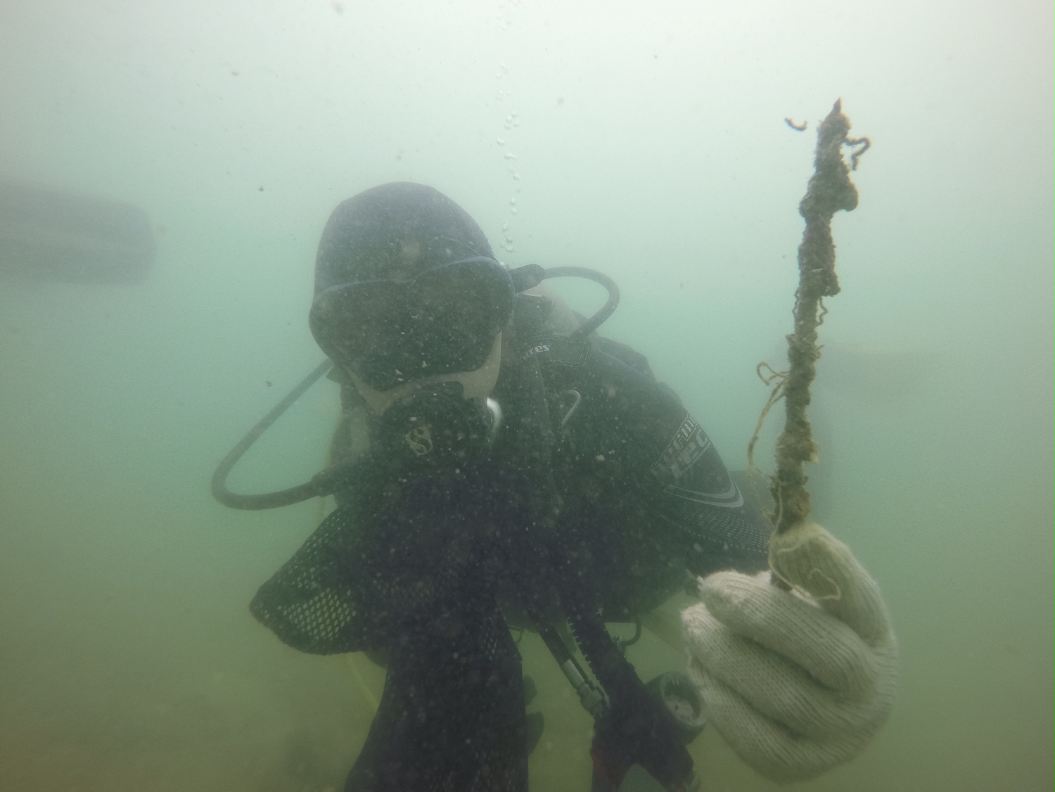
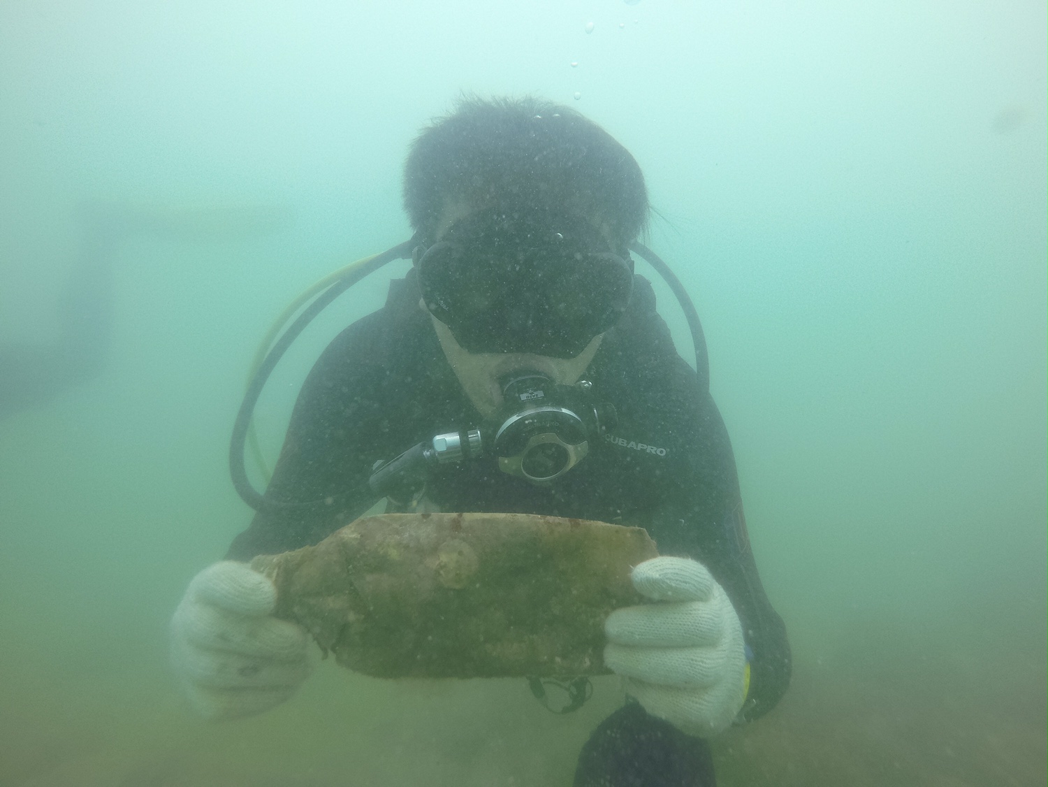
A broken bong, and about 7ft of carpet.
Temps are dropping into the low 40's at night and are hitting low 70's as the high. It was very windy the week before our clean up event.
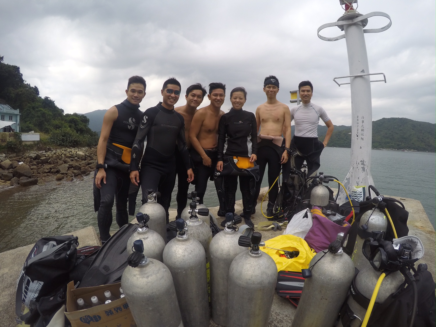
Inland water scuba
Deanna Taylor
2
0
13
10
4
2
2
15
4
4
1
10
4
3
0
9
2
12
2
3
5
1
50.05
50
60.00
20.00
1
measured
11240.00
Foil wrappers
Bud light beer cans
Broken glass
On
pounds
I have debris data to report
8
Slight for waves 0.5 -1.25 meter high
10
2
2
ft2
1
feet
rocky reef
1
7
5
22
28
2
5
2
2
State\Province
Arizona
City
Peoria
Map Help
Dive Location
If you know your survey site coordinates, enter them manually in decimal degrees using WGS84 Map Datum. Use the minus sign for latitudes south of the equator and longitudes west of the Prime Meridian to 180 degrees.
If you do not know your survey site coordinates, click the “Map Location” tab to use the map to zoom into your survey site and drop the pin on the map to fall within your survey dive site in the water (not on land or the beach). Ensure you zoom in as much as possible to ensure data accuracy.
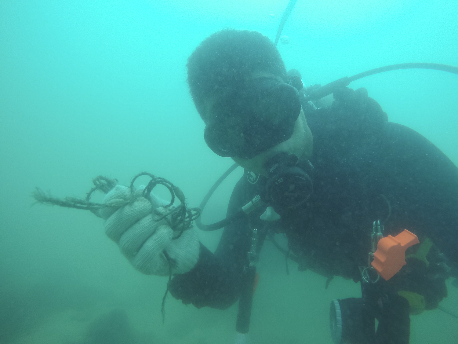
Entangled Help