lots of rain during the last week caused very bad visibility
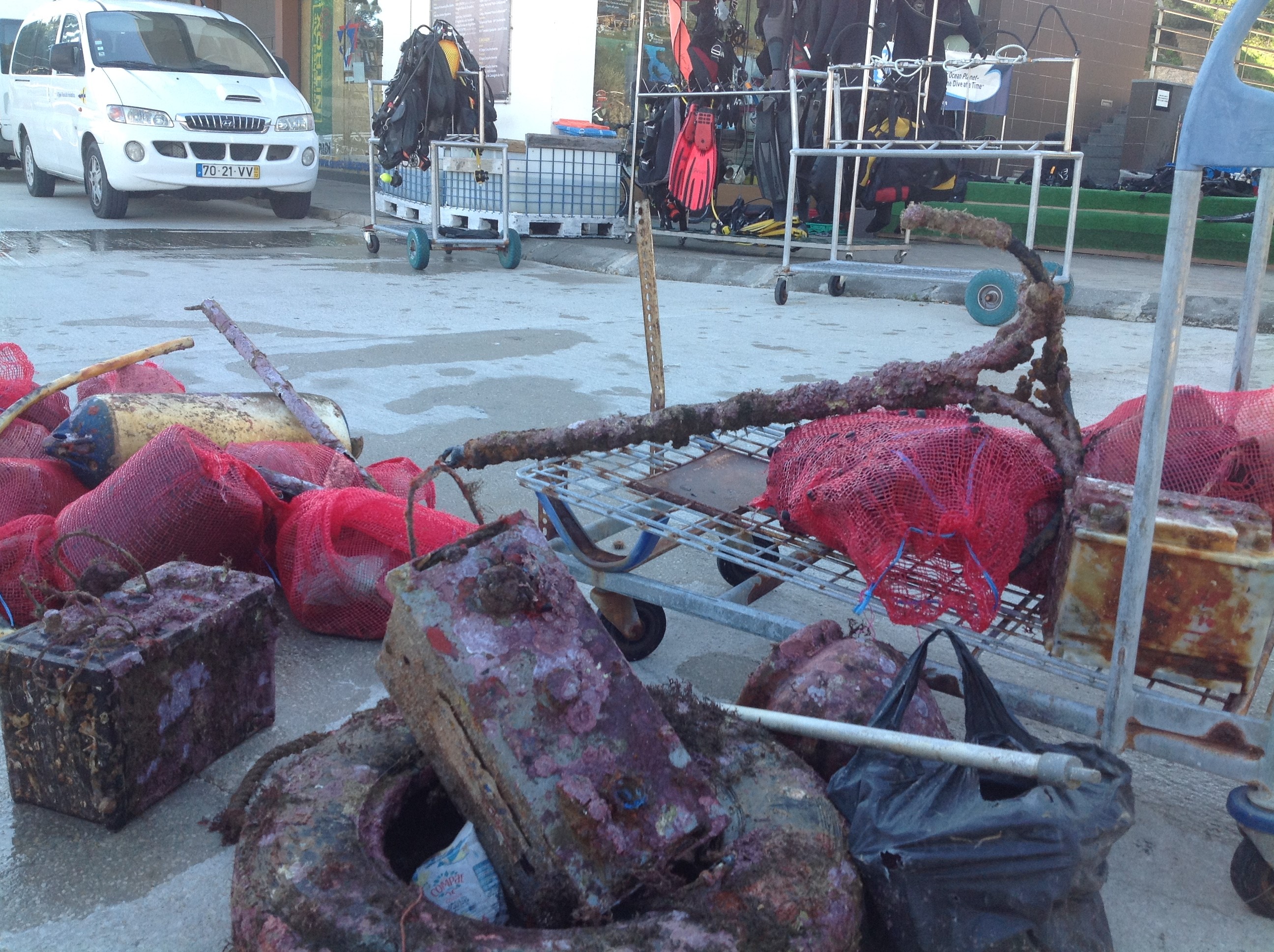
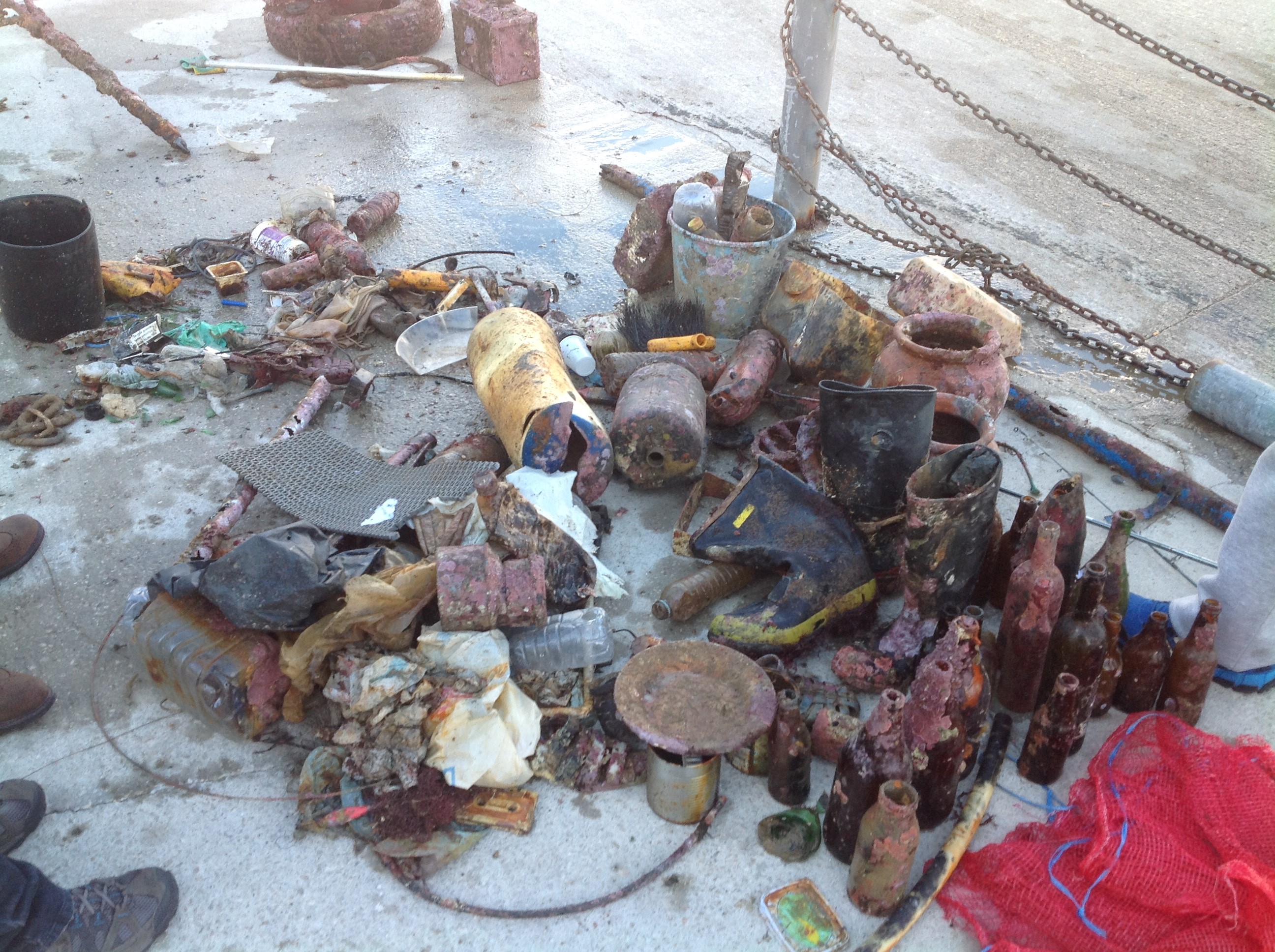
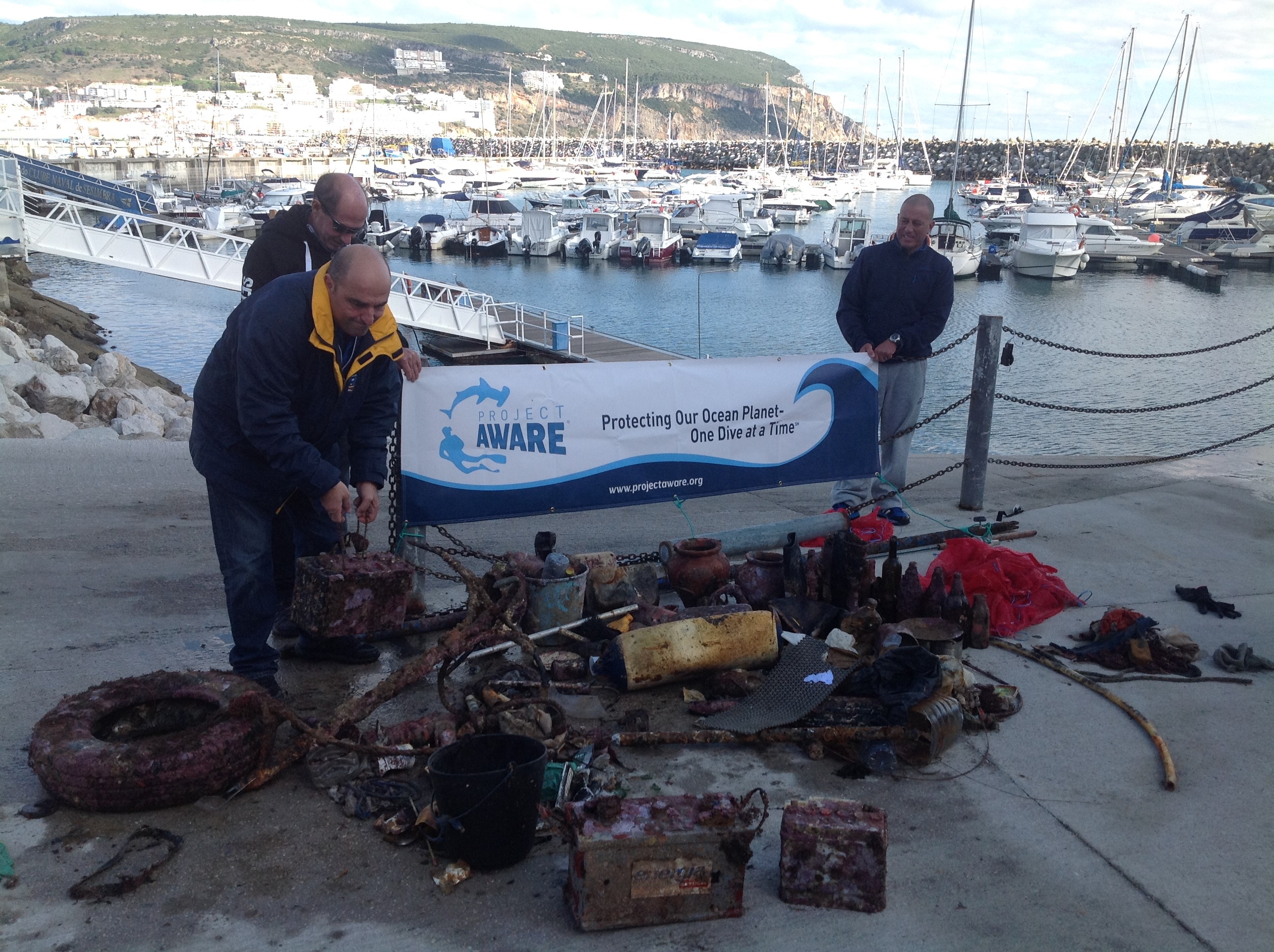
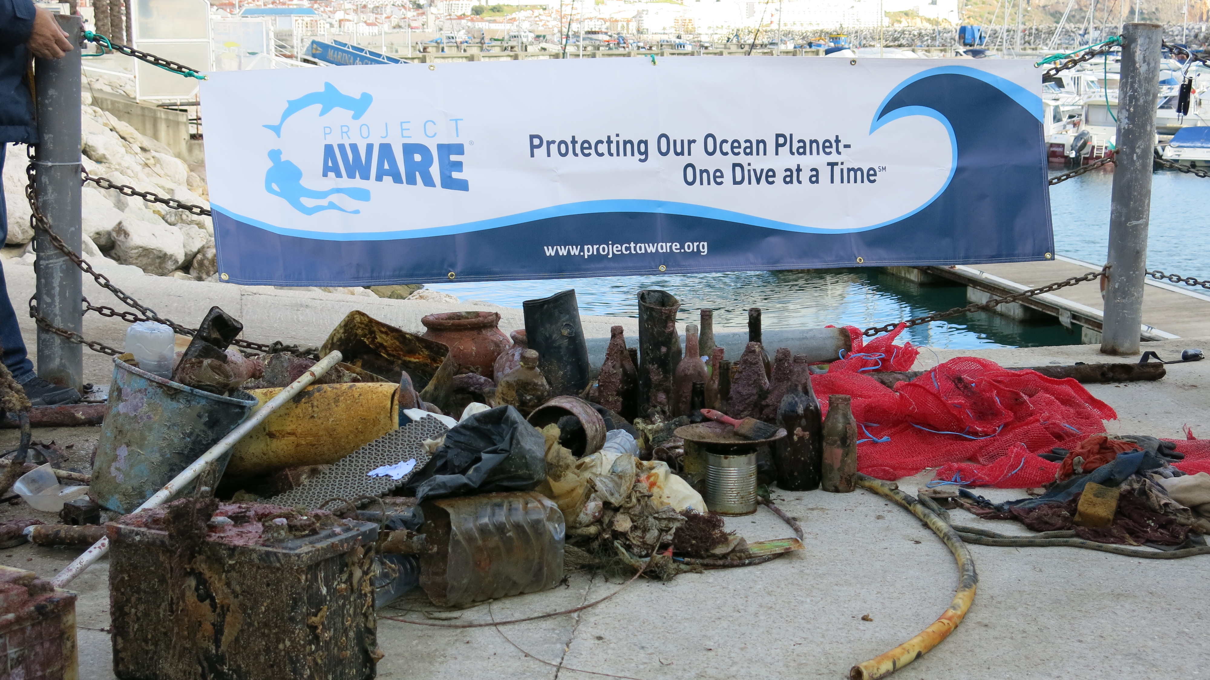
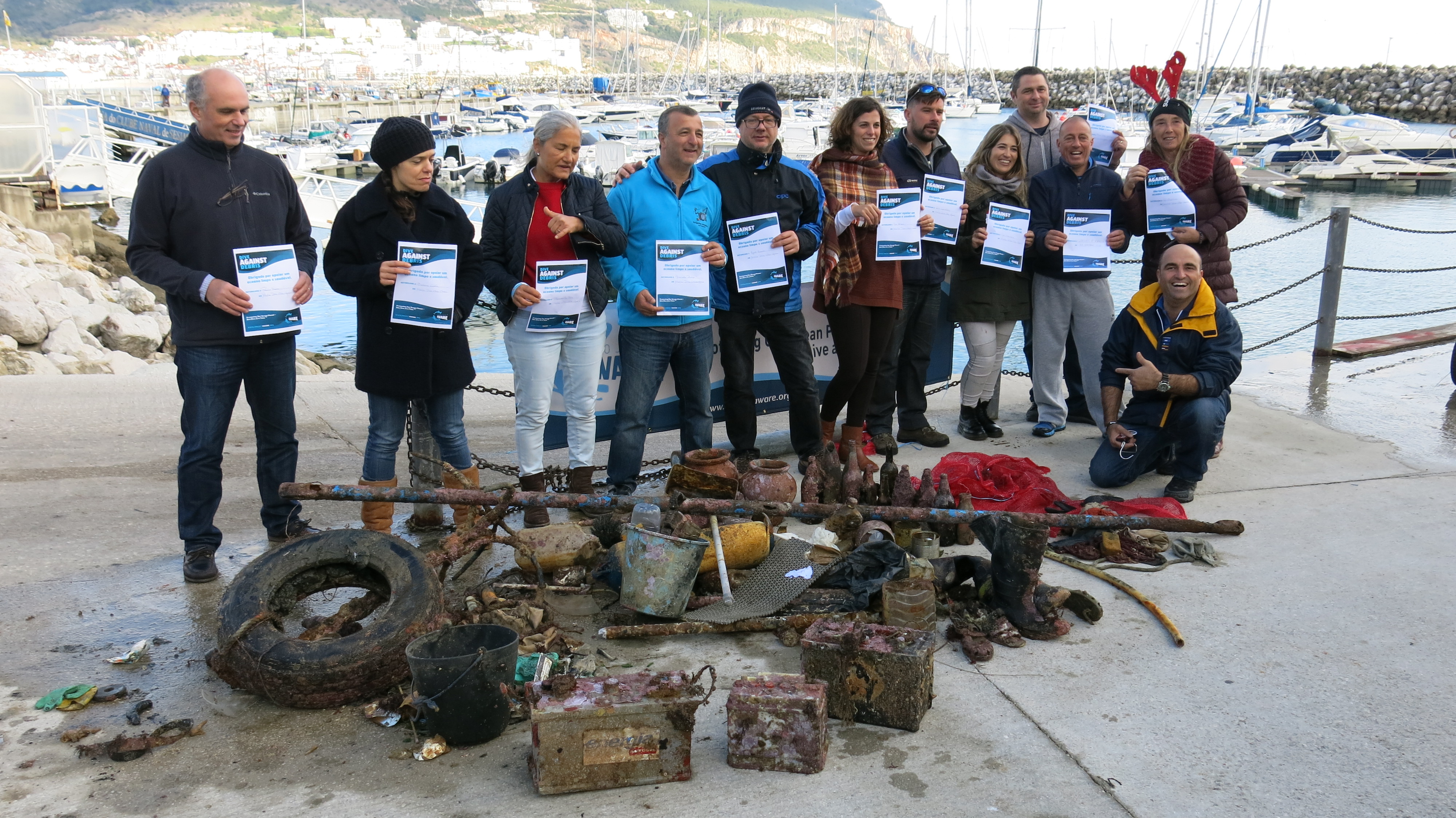
It is in a bay where the current leads to, so a lot of garbage is led there
is it possible to share the report on social media?
paddle
Lots of rain and strong wind
1
paddle
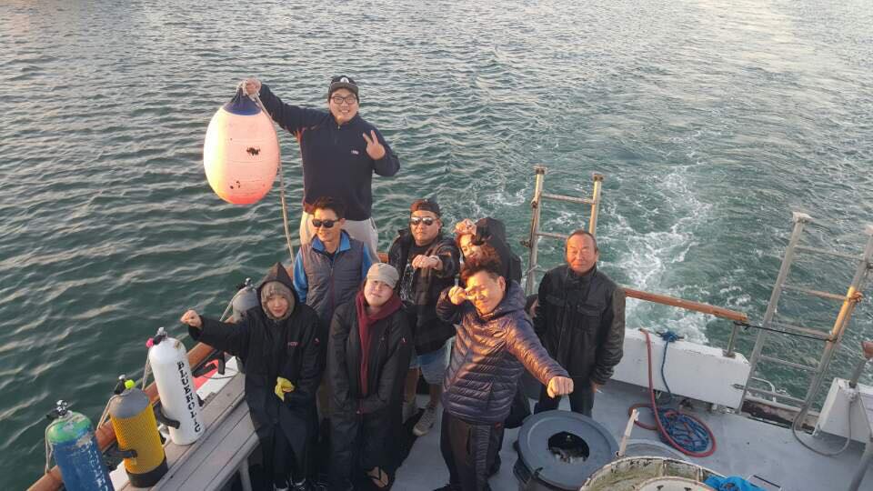
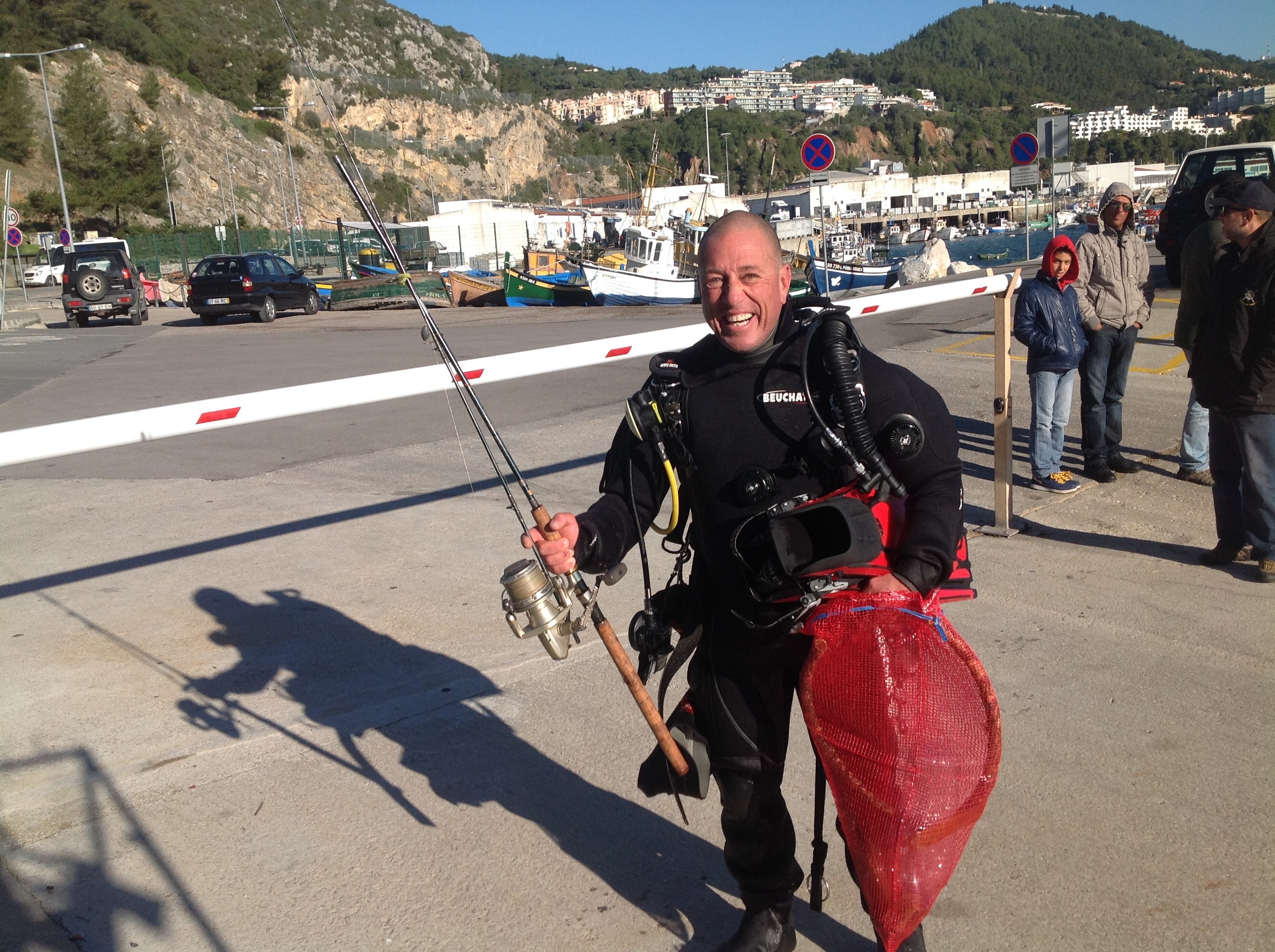
Volcano Divers Nicaragua
Kristel
10
2
1
2
15
2
2
1
3
5
3.00
31
10.00
2.00
1
estimated
1
30.00
2
plastic food wrap
beverage cans
plastic cups
On
kilograms
I have debris data to report
3
Smooth (wavelets) for waves 0.1 - 0.5 meter high
1
3
3
1
m2
1
meters
other
1
1
1
1
4
8
1
1
1
Nicaragua
City
Laguna de Apoyo
Map Help
Dive Location
If you know your survey site coordinates, enter them manually in decimal degrees using WGS84 Map Datum. Use the minus sign for latitudes south of the equator and longitudes west of the Prime Meridian to 180 degrees.
If you do not know your survey site coordinates, click the “Map Location” tab to use the map to zoom into your survey site and drop the pin on the map to fall within your survey dive site in the water (not on land or the beach). Ensure you zoom in as much as possible to ensure data accuracy.
Entangled Help
Use the vertical tabs below to record any entangled animals you found of each type.
Visibility was very poor so likely to have missed debris if there was any there.
Didn't get to cover the whole site because of the conditions.
Wet, windy and cold.
Flippas-n-Fins
Ian Craddock
3
0.00
31
6.00
1.50
measured
1600.00
On
kilograms
Our Survey Site was free of debris
Smooth (wavelets) for waves 0.1 - 0.5 meter high
m2
meters
rocky reef
Language
English
United Kingdom
State\Province
Dorset
City
Poole
Map Help
Dive Location
If you know your survey site coordinates, enter them manually in decimal degrees using WGS84 Map Datum. Use the minus sign for latitudes south of the equator and longitudes west of the Prime Meridian to 180 degrees.
If you do not know your survey site coordinates, click the “Map Location” tab to use the map to zoom into your survey site and drop the pin on the map to fall within your survey dive site in the water (not on land or the beach). Ensure you zoom in as much as possible to ensure data accuracy.
Entangled Help
Use the vertical tabs below to record any entangled animals you found of each type.
Anacapa Island State Marine Conservation Area is designated a Southern California Marine Protected Areas (MPAs) by California Department of Fish and Wildlife, and Channel Islands National Marine Sanctuary. There are seals, huge big lobsters, many species of fishes and mollusks. It is good to see a great conserved marine ecosystem.
Anacapa Island State Marine Conservation Area is an islands which protected by the state of California. There isn't any debris underwater. It is amazing!!! The weather before the survey was not very good. Rain and wind blew so hard. So we expected that there are much floated and drifted trash by strong current. However there isn't any trash underwater and sea surface. I am eager to continue this situation.
There isn't any trash and debris underwater on December 18, 2016. It's amazing!!
The weather before the survey was not very good. Rain and wind blew so hard.
Blue Holic Scuba
Dae-Wui Jung
8
0.00
106
21.00
4.00
measured
652.55
On
kilograms
Our Survey Site was free of debris
Calm (glassy to rippled) for waves 0 – 0.1 meter high
m2
meters
rocky reef
Language
English
United States
State\Province
California
City
Los Angeles
Map Help
Dive Location
If you know your survey site coordinates, enter them manually in decimal degrees using WGS84 Map Datum. Use the minus sign for latitudes south of the equator and longitudes west of the Prime Meridian to 180 degrees.
If you do not know your survey site coordinates, click the “Map Location” tab to use the map to zoom into your survey site and drop the pin on the map to fall within your survey dive site in the water (not on land or the beach). Ensure you zoom in as much as possible to ensure data accuracy.
Entangled Help
Use the vertical tabs below to record any entangled animals you found of each type.
Calm (glassy to rippled) for waves 0 – 0.1 meter high
3
6
15
m2
12
meters
other
15
1
17
1
2
2
2
11
1
2
22
1
Language
English
Portugal
City
Sesimbra
Map Help
Dive Location
If you know your survey site coordinates, enter them manually in decimal degrees using WGS84 Map Datum. Use the minus sign for latitudes south of the equator and longitudes west of the Prime Meridian to 180 degrees.
If you do not know your survey site coordinates, click the “Map Location” tab to use the map to zoom into your survey site and drop the pin on the map to fall within your survey dive site in the water (not on land or the beach). Ensure you zoom in as much as possible to ensure data accuracy.
Entangled Help
Use the vertical tabs below to record any entangled animals you found of each type.
At this event we were 2 divers 1 surface support and 3 land support.
A beach cleanup was also made by the land support! A lot of plastic not included at the report was gathered.
The crabs 11 the number were released unharmed
the shell hermits about 40 the number were entanled in bottles and they were already dead .
anti tank mine casing
3
1
1
3
1
1
1
1
1
2
1
1
1
1
1
1
2
1
1
3
line reel
CARPETS
lamp holder plastic
pills tablet
plastic door from tape recorder
calculator
shoe heel
Fuel transfusion pump
GLUE TUBE
ashtray glass
anti tank mine casing
socket
sign
FISHERMAN FOLDING CHAIR
bucket
boat Railings
plastic rails
metal HANDLE
aluminium food container
BOLTS
Loutraki Dive Club
Nikos_Ba
10
2
2
84.00
48
16.10
1.00
measured
632.00
On
kilograms
I have debris data to report
75
Calm (glassy to rippled) for waves 0 – 0.1 meter high
1
glasses & bottles
CRABs + SHELL hermits
Released Unharmed
11
m2
2
meters
seagrass
7
8
2
2
2
54
44
16
9
Language
English
Greece
State\Province
Corinthia
City
Loutraki
Map Help
Dive Location
If you know your survey site coordinates, enter them manually in decimal degrees using WGS84 Map Datum. Use the minus sign for latitudes south of the equator and longitudes west of the Prime Meridian to 180 degrees.
If you do not know your survey site coordinates, click the “Map Location” tab to use the map to zoom into your survey site and drop the pin on the map to fall within your survey dive site in the water (not on land or the beach). Ensure you zoom in as much as possible to ensure data accuracy.
Entangled Help
Use the vertical tabs below to record any entangled animals you found of each type.
fishing line as we have alot of local fisherman using lines to catch reef fish which gets caught in the coral and they cut it free leaving most of it including hooks tangled in the reef
plastic bags. Egypt is plastic bag mad and everything goes in bags which get blown around and end up in th sea causing big problems for the fish and especially turtles
plastic bottles. we have no recycling facilities here so lots of plastic bottles end up getting blown into the sea
On
kilograms
I have debris data to report
Smooth (wavelets) for waves 0.1 - 0.5 meter high
13
m2
meters
coral reef
2
Language
English
Egypt
State\Province
Red Sea
City
el quseir
Map Help
Dive Location
If you know your survey site coordinates, enter them manually in decimal degrees using WGS84 Map Datum. Use the minus sign for latitudes south of the equator and longitudes west of the Prime Meridian to 180 degrees.
If you do not know your survey site coordinates, click the “Map Location” tab to use the map to zoom into your survey site and drop the pin on the map to fall within your survey dive site in the water (not on land or the beach). Ensure you zoom in as much as possible to ensure data accuracy.
Entangled Help
Use the vertical tabs below to record any entangled animals you found of each type.
Calm (glassy to rippled) for waves 0 – 0.1 meter high
2
OCTOPUS
1
Dead
OCTOPUS
m2
4
meters
seagrass
1
1
1
2
1
Language
English
Greece
State\Province
EVIA
City
CHALKIS
Map Help
Dive Location
If you know your survey site coordinates, enter them manually in decimal degrees using WGS84 Map Datum. Use the minus sign for latitudes south of the equator and longitudes west of the Prime Meridian to 180 degrees.
If you do not know your survey site coordinates, click the “Map Location” tab to use the map to zoom into your survey site and drop the pin on the map to fall within your survey dive site in the water (not on land or the beach). Ensure you zoom in as much as possible to ensure data accuracy.
Entangled Help
Use the vertical tabs below to record any entangled animals you found of each type.
Smooth (wavelets) for waves 0.1 - 0.5 meter high
m2
meters
rocky reef
Language
English
Sweden
City
Göteborg
Map Help
Dive Location
If you know your survey site coordinates, enter them manually in decimal degrees using WGS84 Map Datum. Use the minus sign for latitudes south of the equator and longitudes west of the Prime Meridian to 180 degrees.
If you do not know your survey site coordinates, click the “Map Location” tab to use the map to zoom into your survey site and drop the pin on the map to fall within your survey dive site in the water (not on land or the beach). Ensure you zoom in as much as possible to ensure data accuracy.
Entangled Help
Use the vertical tabs below to record any entangled animals you found of each type.
Turtle has hook attached to neck skin area. Was able to cut line but not hook. We are working on option to get hook out.
Black Beard Sports
Gabriel Espino
1
1
5
4
12.00
51
41.00
20.00
estimated
5
1505.90
On
pounds
I have debris data to report
5
Smooth (wavelets) for waves 0.1 - 0.5 meter high
1
m2
feet
other
1
2
1
4
Hook
Injured
Hawksbill
2
Language
English
Puerto Rico
State\Province
Puerto Rico
City
Vieques
Map Help
Dive Location
If you know your survey site coordinates, enter them manually in decimal degrees using WGS84 Map Datum. Use the minus sign for latitudes south of the equator and longitudes west of the Prime Meridian to 180 degrees.
If you do not know your survey site coordinates, click the “Map Location” tab to use the map to zoom into your survey site and drop the pin on the map to fall within your survey dive site in the water (not on land or the beach). Ensure you zoom in as much as possible to ensure data accuracy.
Entangled Help
Use the vertical tabs below to record any entangled animals you found of each type.