ADS36 - Angaga House Reef
4
3.653046, 72.823068
34
3.6519106037606086, 72.82206594944
rainy, cloudy, stormy
SubAqua Divecenter Angaga Island Resort
Henriette Krebs
3
3
2
6.00
60
16.00
2.00
measured
103
5150.00
0
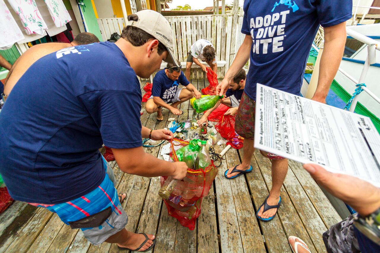
fishing line
fishing hook
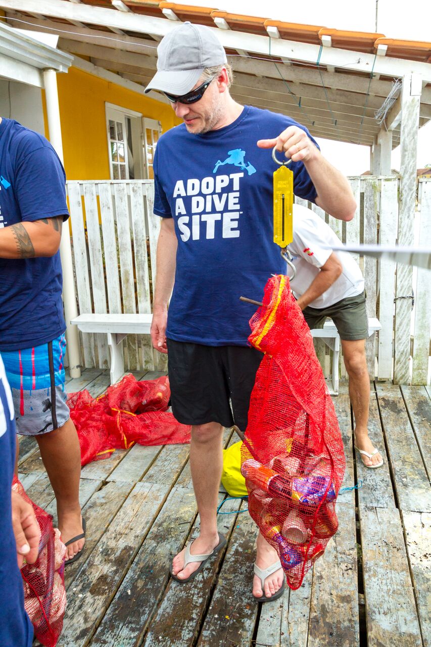
On
kilograms
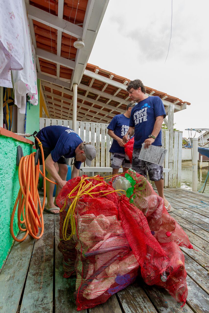
I have debris data to report
Smooth (wavelets) for waves 0.1 - 0.5 meter high
6
4
1
m2


1
meters
coral reef
6
1
3
1
2
1
1
Map Help
Dive Location
If you know your survey site coordinates, enter them manually in decimal degrees using WGS84 Map Datum. Use the minus sign for latitudes south of the equator and longitudes west of the Prime Meridian to 180 degrees.
If you do not know your survey site coordinates, click the “Map Location” tab to use the map to zoom into your survey site and drop the pin on the map to fall within your survey dive site in the water (not on land or the beach). Ensure you zoom in as much as possible to ensure data accuracy.
Entangled Help