Big Rock, Utila
950
2932
4
sand
1
16.07604966203334, -86.94244273938239
Change in direction of the wind, bringing debris into shore
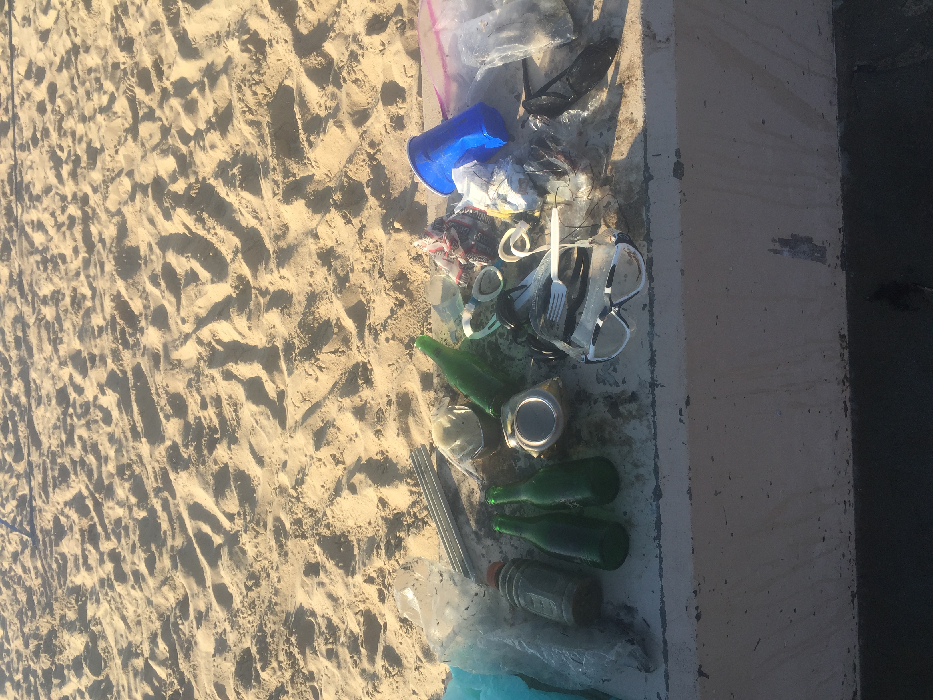
toothpaste
2 weeks of heavy rainfall 3 days prior to clean up
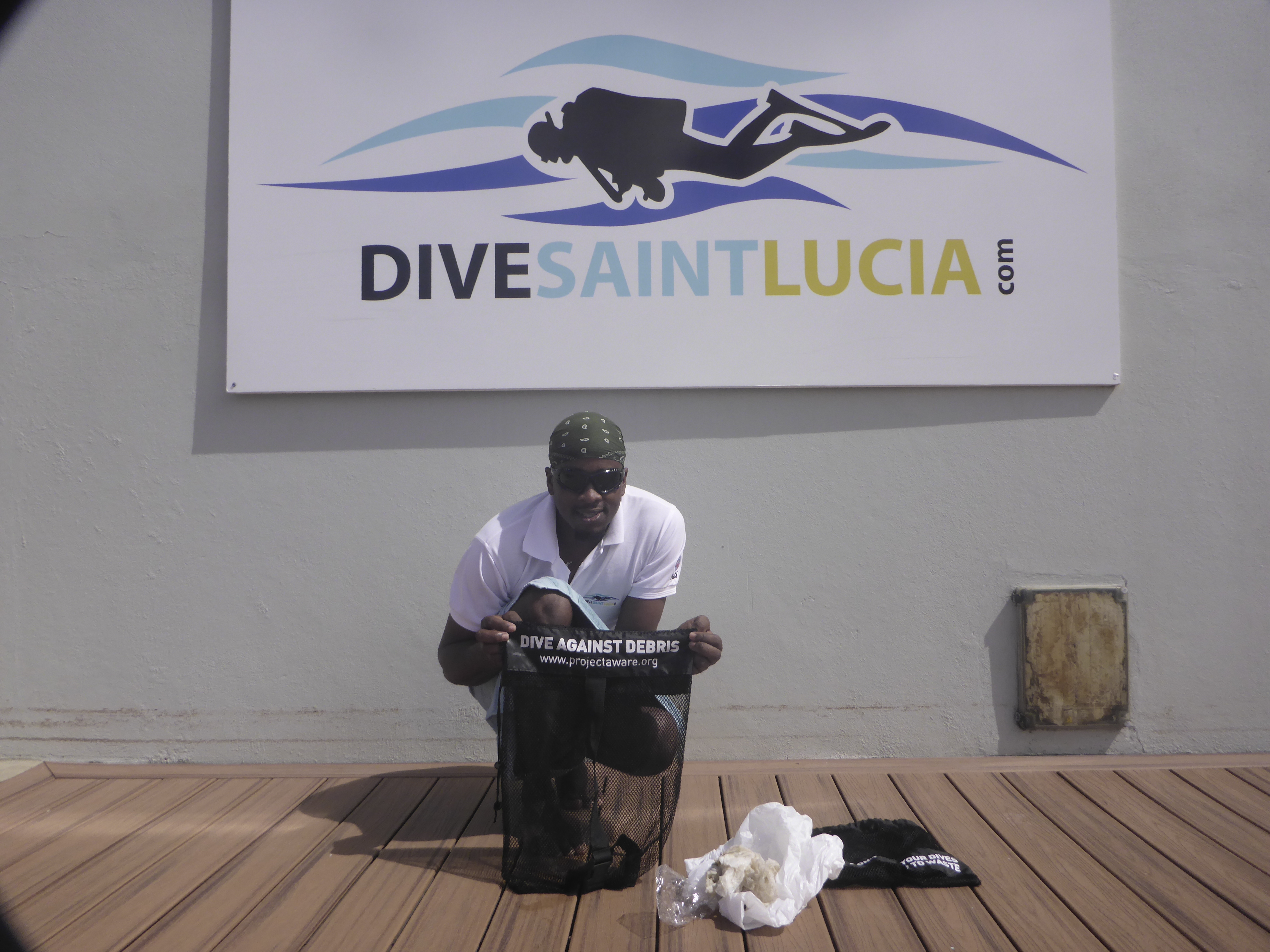
Utila Dive Center
Jemma Aitken
3
2
16
450
11
1
28.30
42
11.20
1.00
measured
2587.25
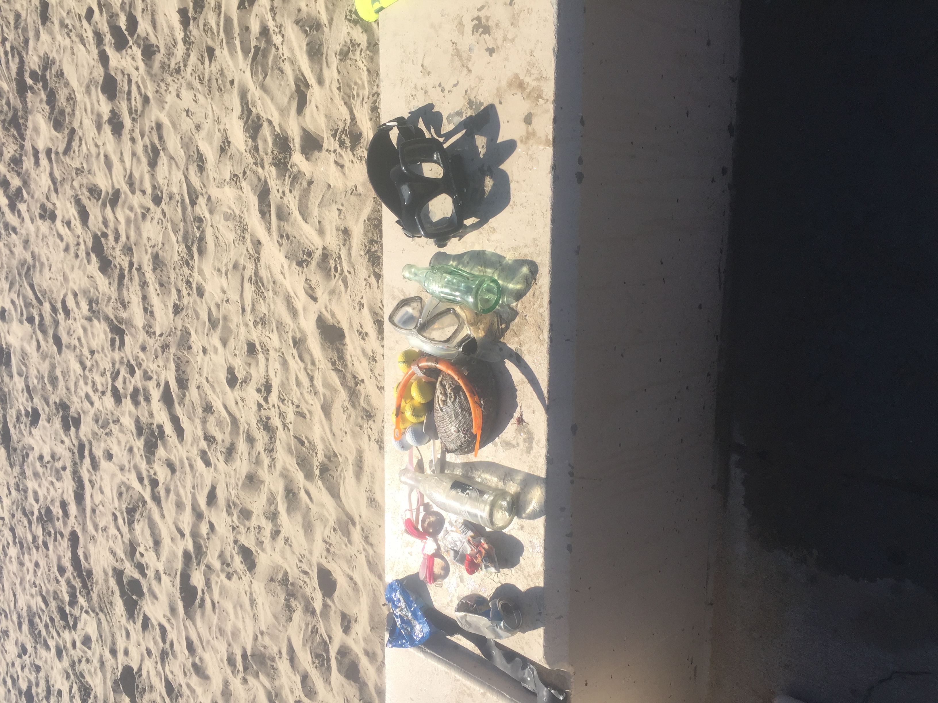
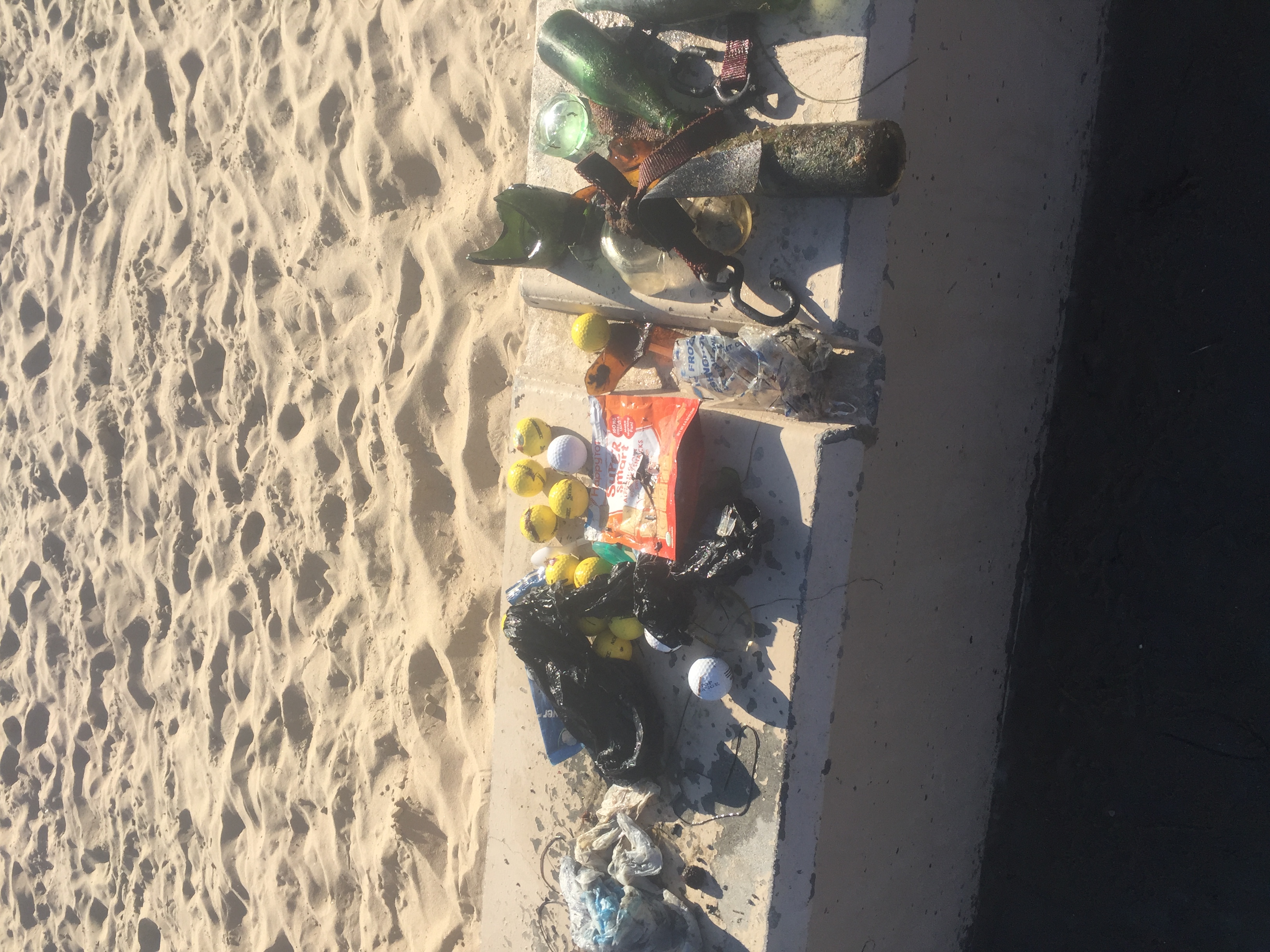
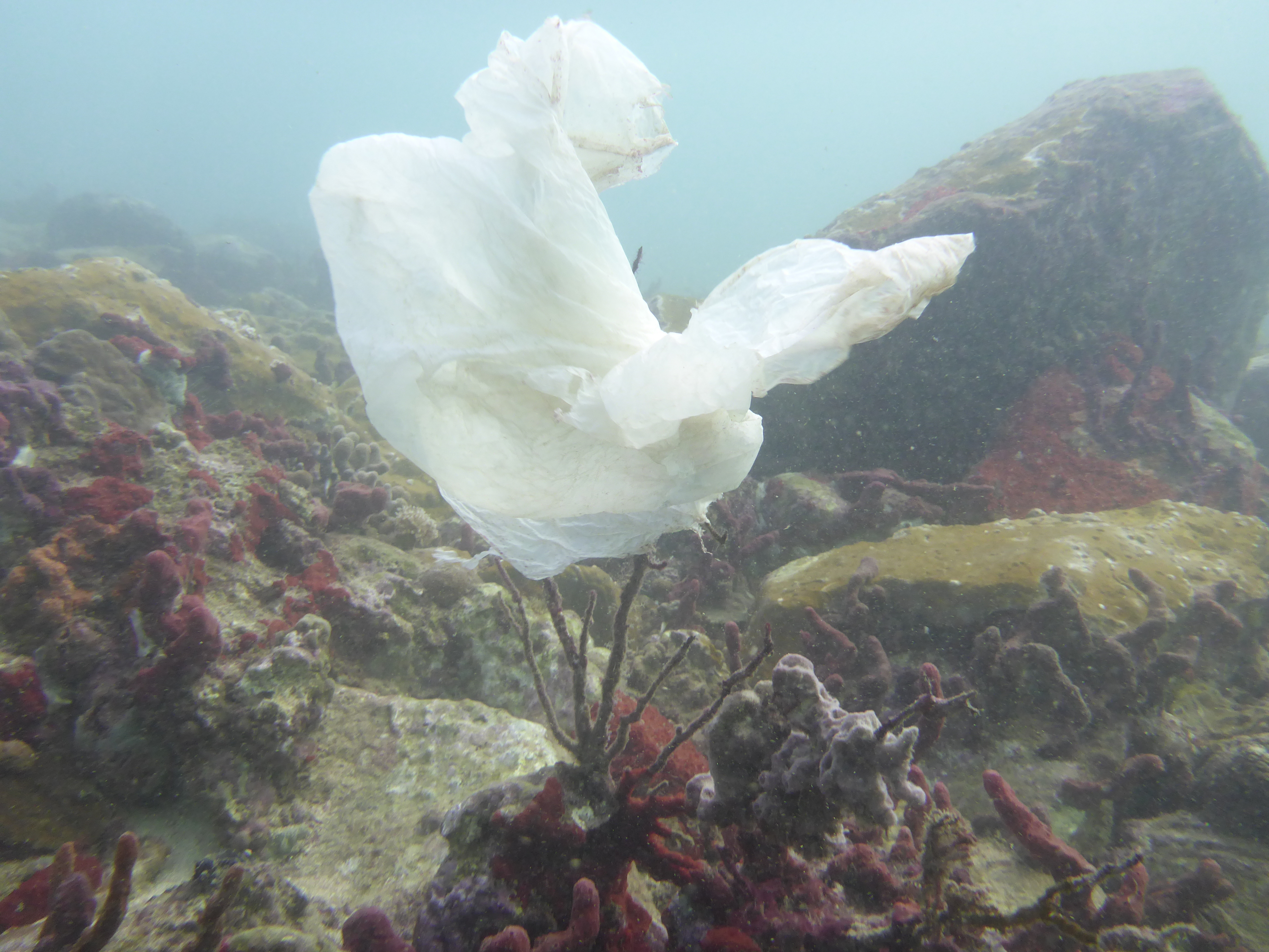
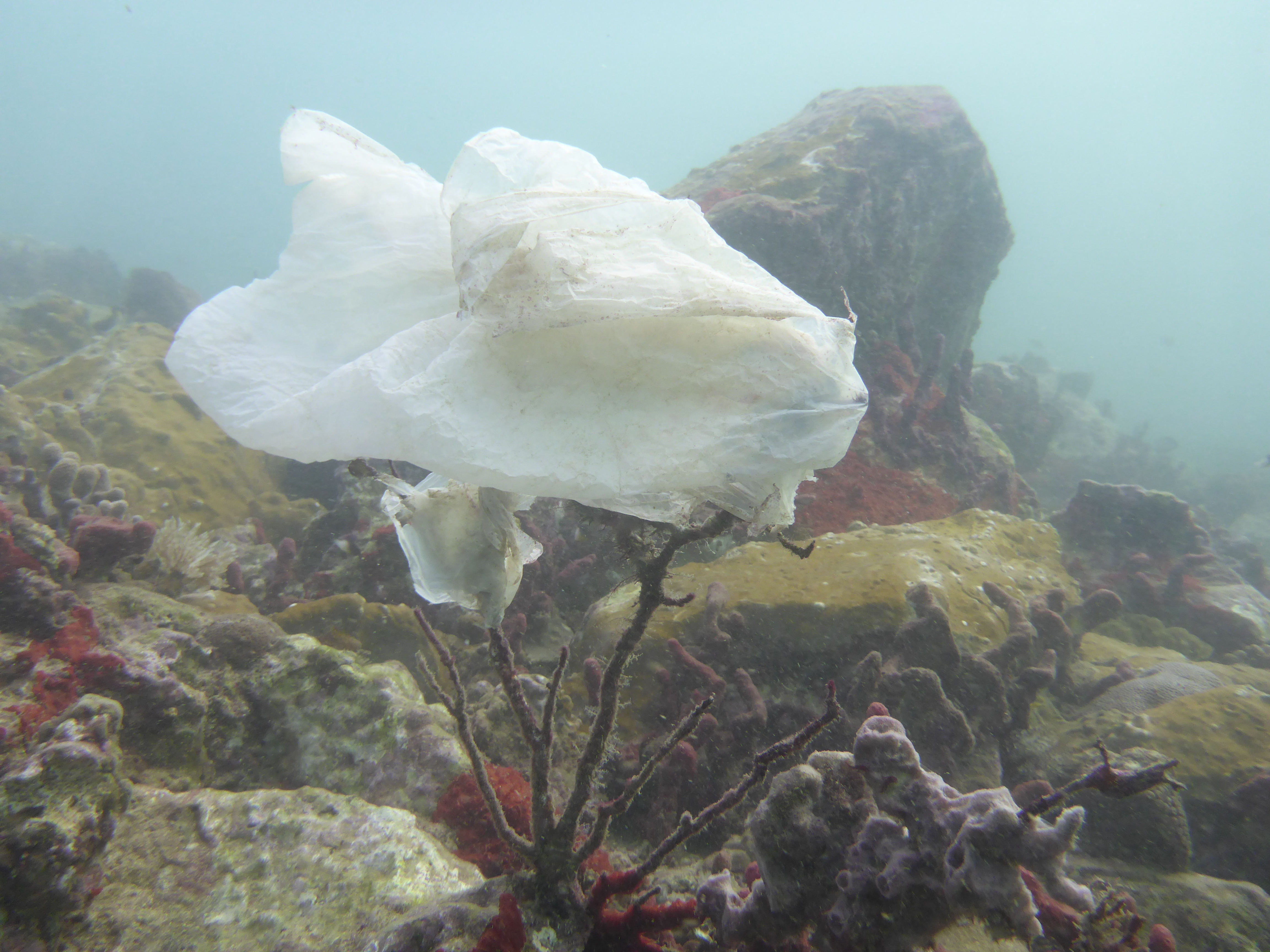
plastic bags
plastic fragments
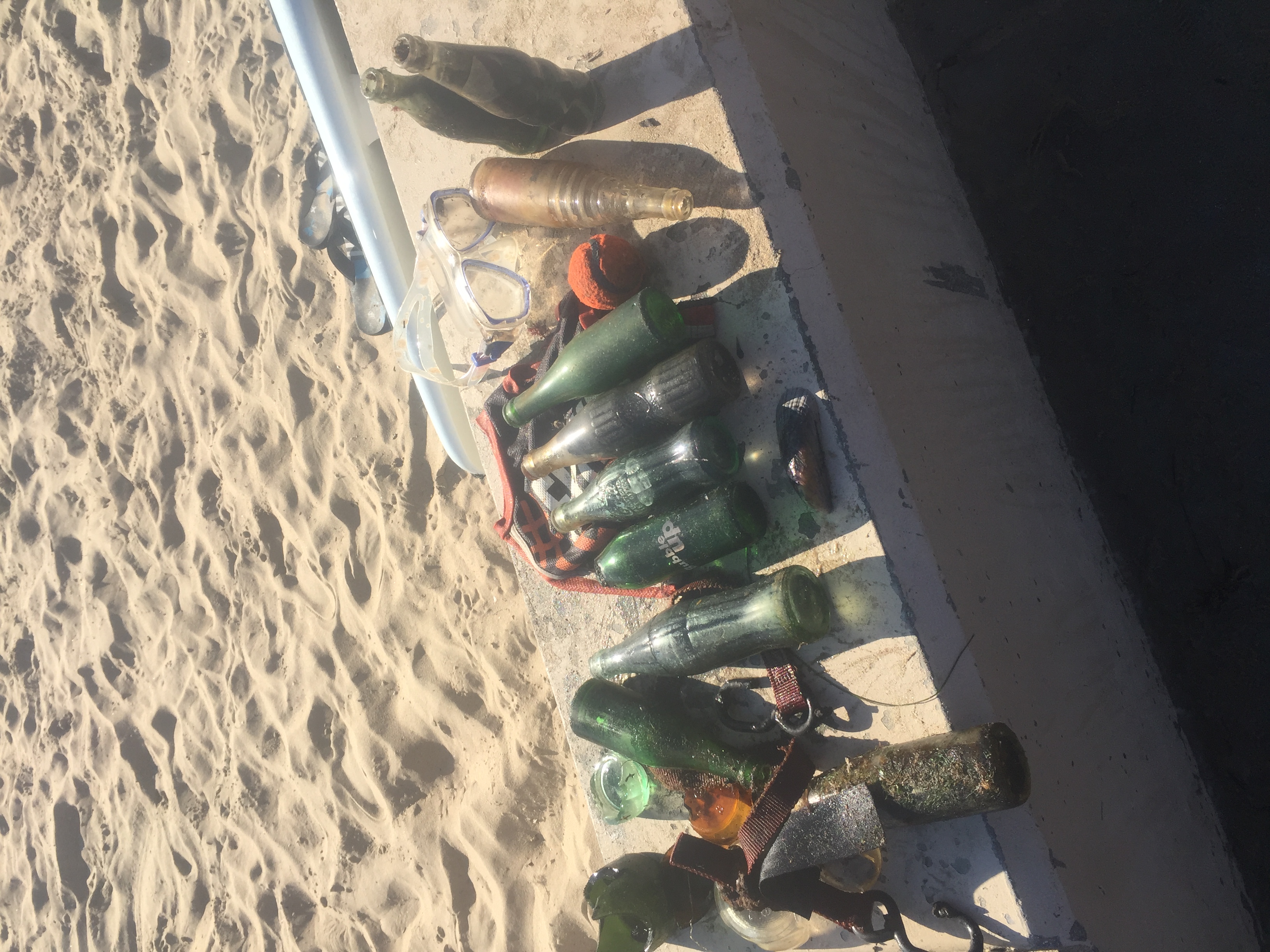
plastic bottles
On
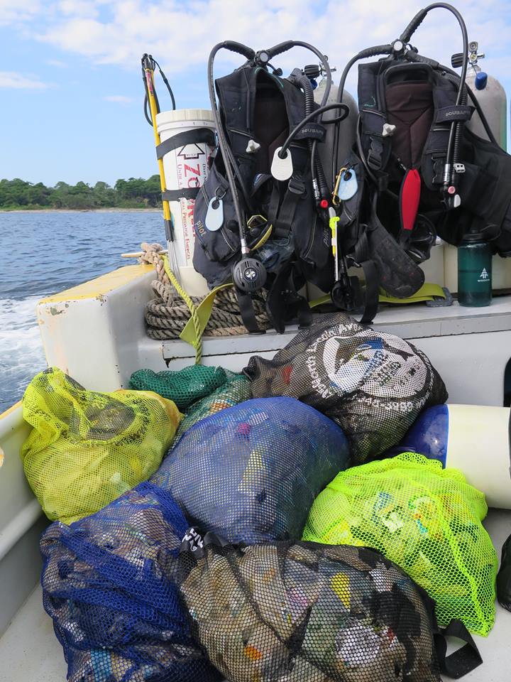
kilograms
I have debris data to report
Smooth (wavelets) for waves 0.1 - 0.5 meter high
3
26
1
m2
2
1
meters
coral reef
State\Province
Utila
City
Utila
Map Help
Dive Location
If you know your survey site coordinates, enter them manually in decimal degrees using WGS84 Map Datum. Use the minus sign for latitudes south of the equator and longitudes west of the Prime Meridian to 180 degrees.
If you do not know your survey site coordinates, click the “Map Location” tab to use the map to zoom into your survey site and drop the pin on the map to fall within your survey dive site in the water (not on land or the beach). Ensure you zoom in as much as possible to ensure data accuracy.
Entangled Help