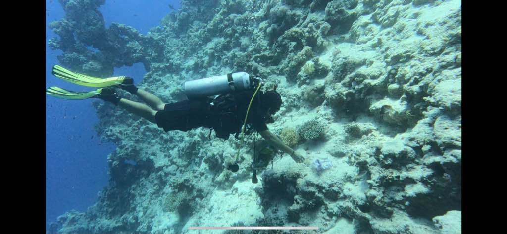
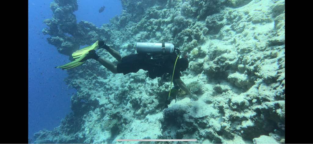
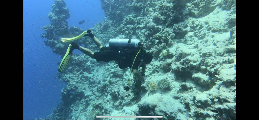
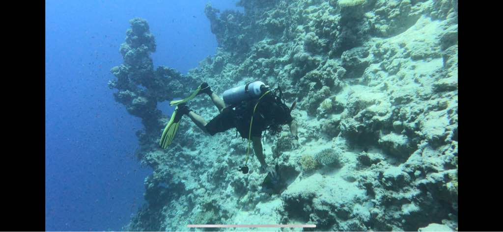
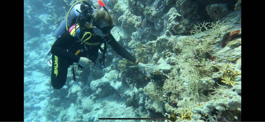
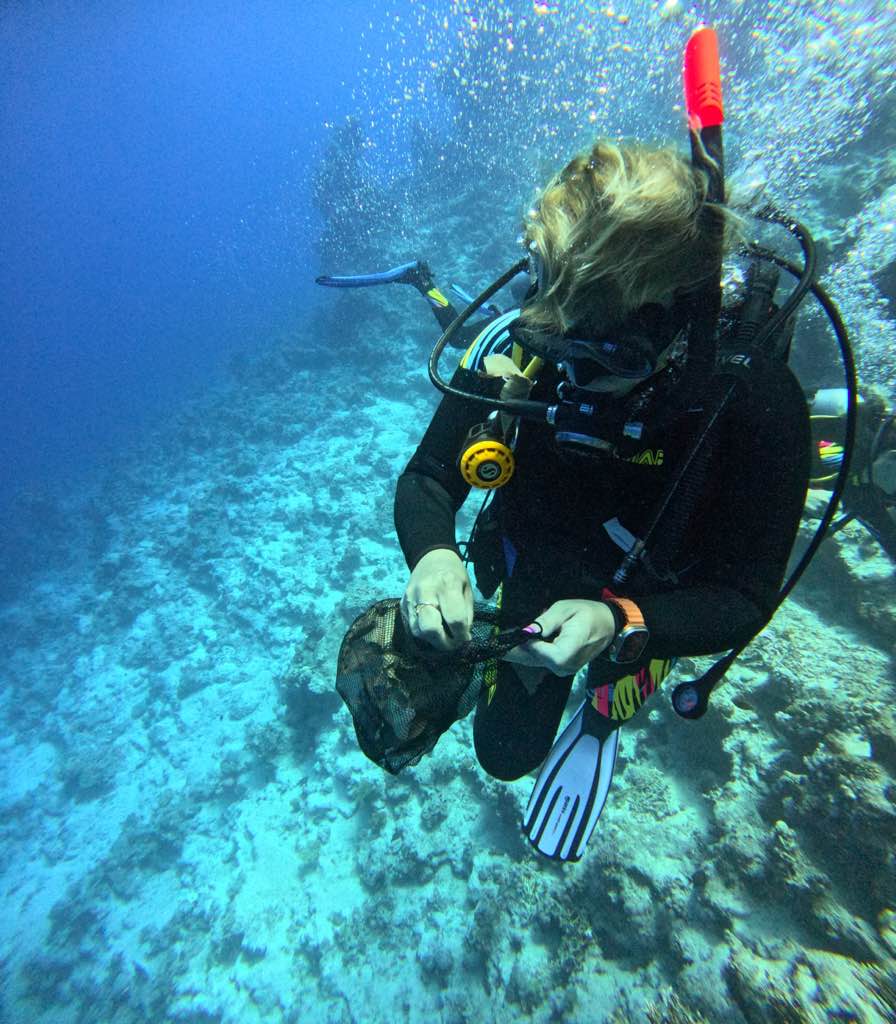
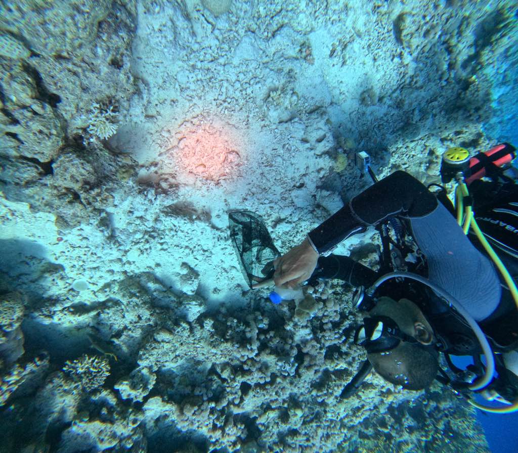
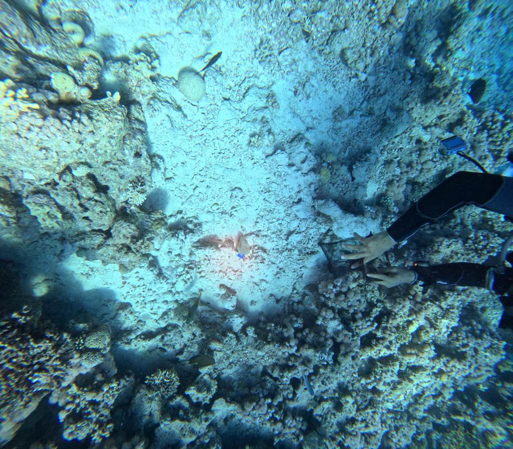
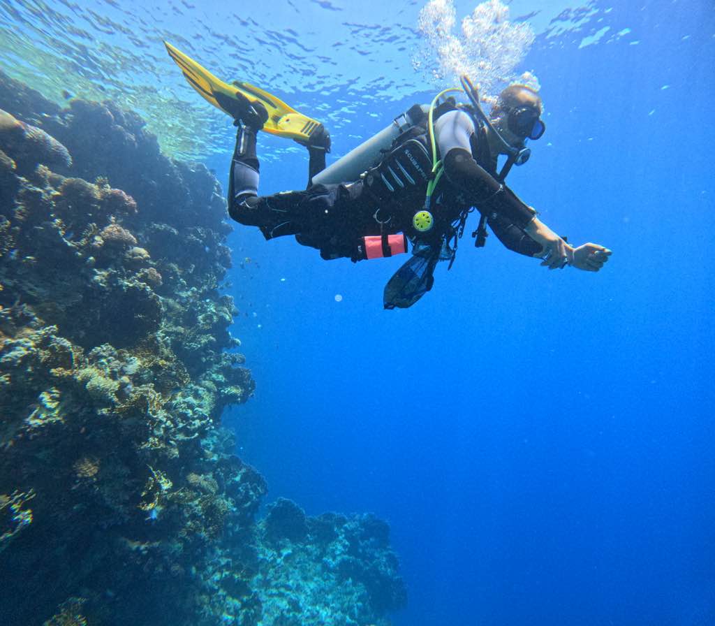
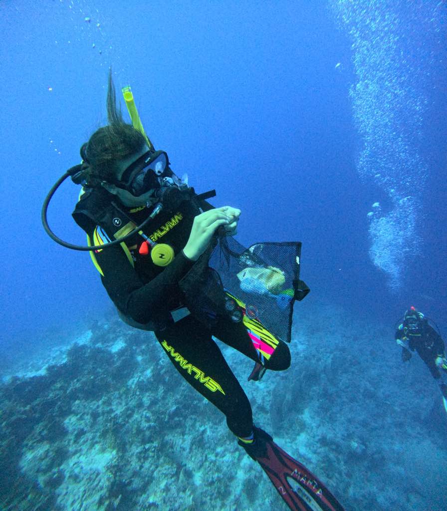
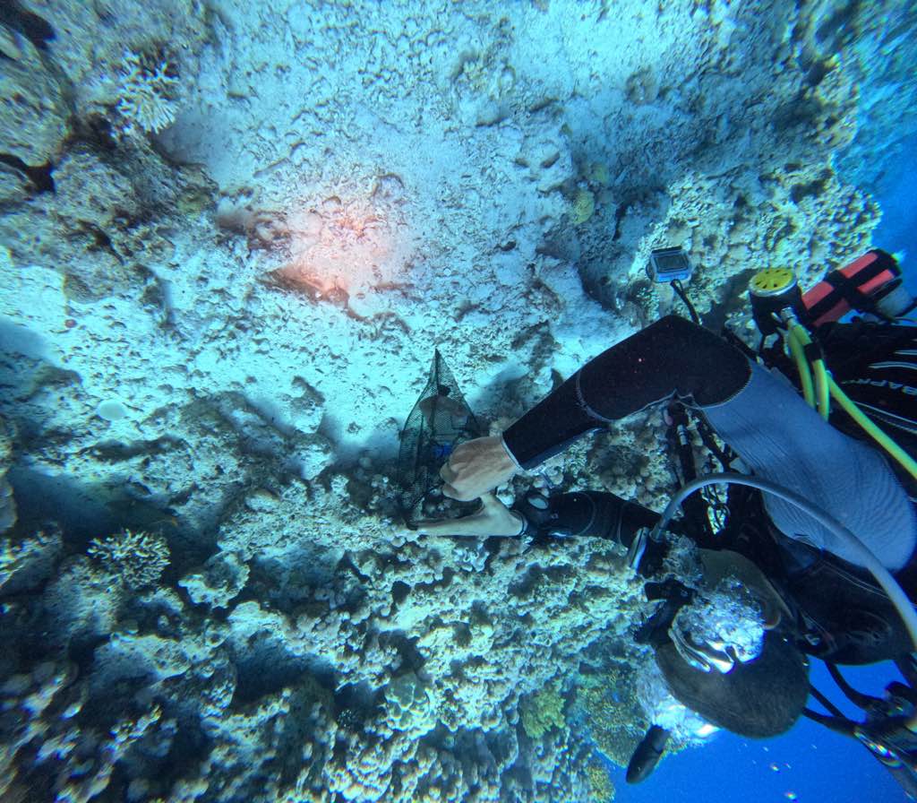
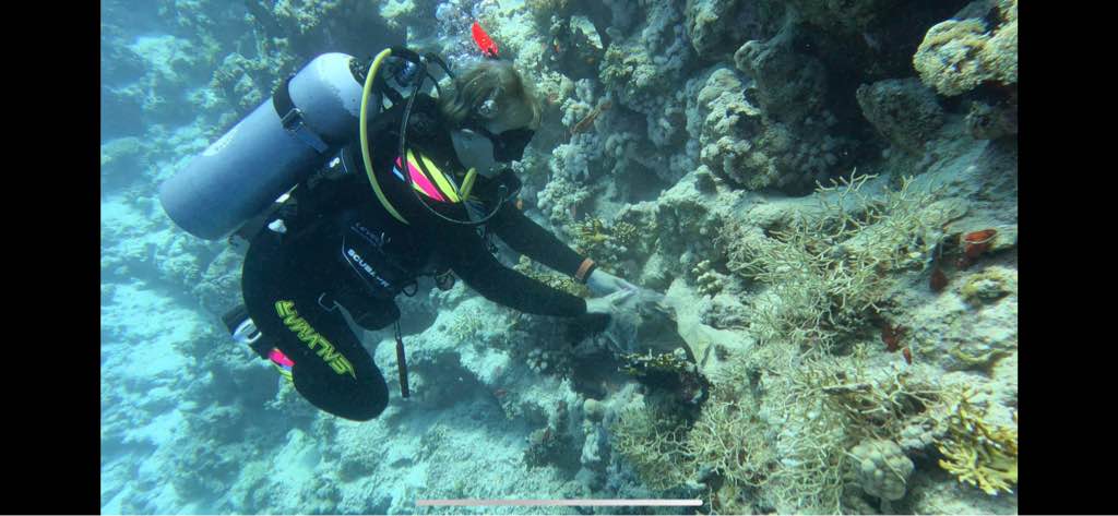
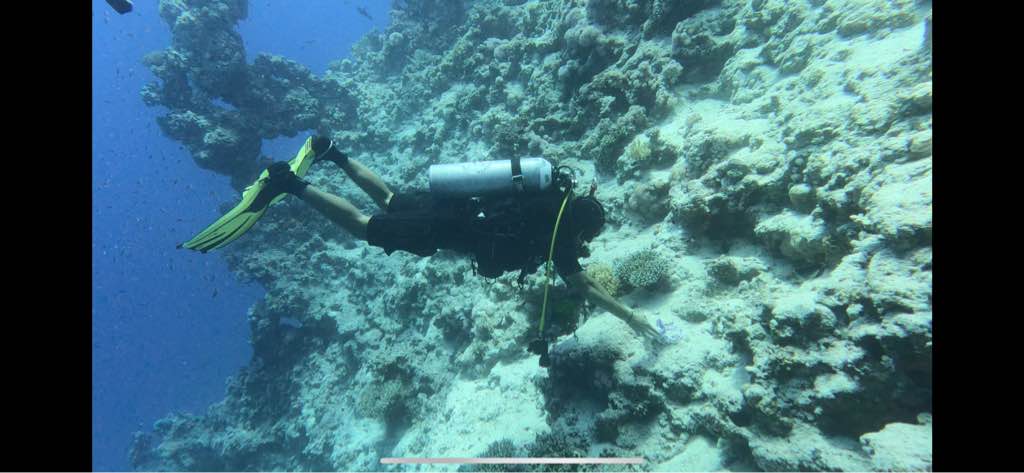
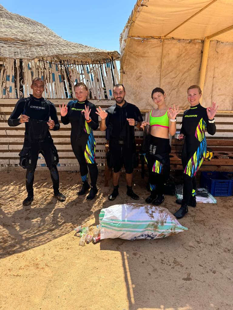
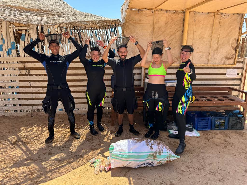
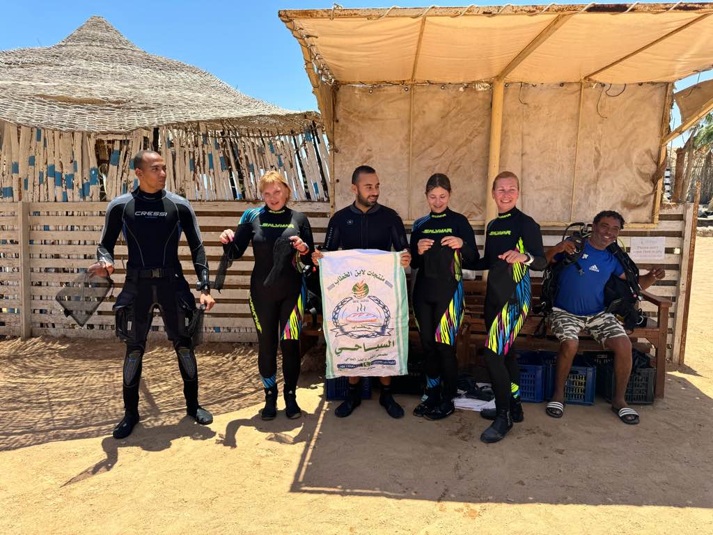
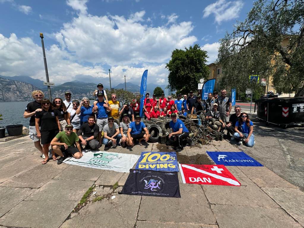
Eagle Ray Alley
sand
United States
25.011709628608, -80.374969320986
none
none
windy and rain
Rainbow Reef Dive Center
Chad Jackson
8
0.00
20
24.00
18.00
estimated
4000.00
On
pounds
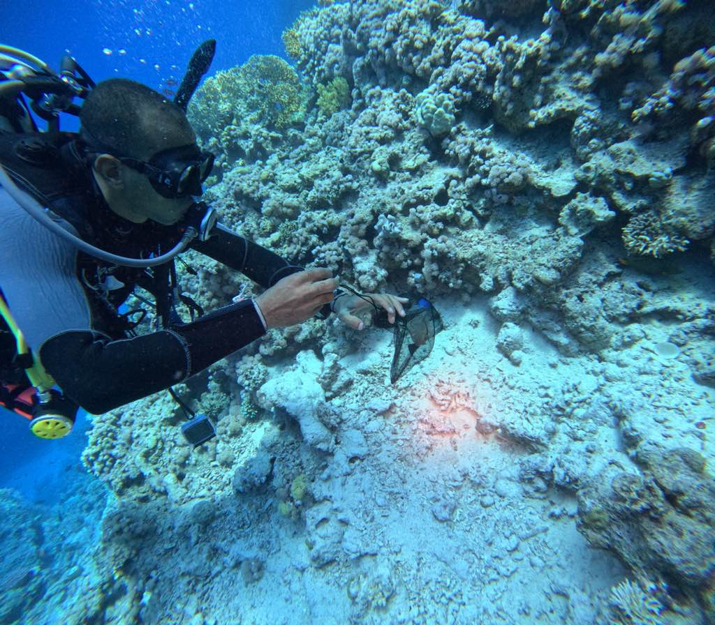
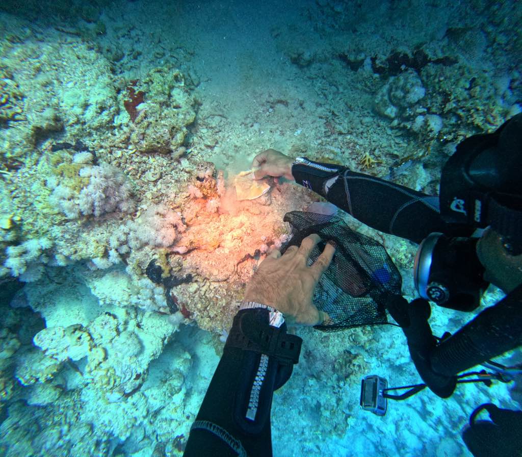
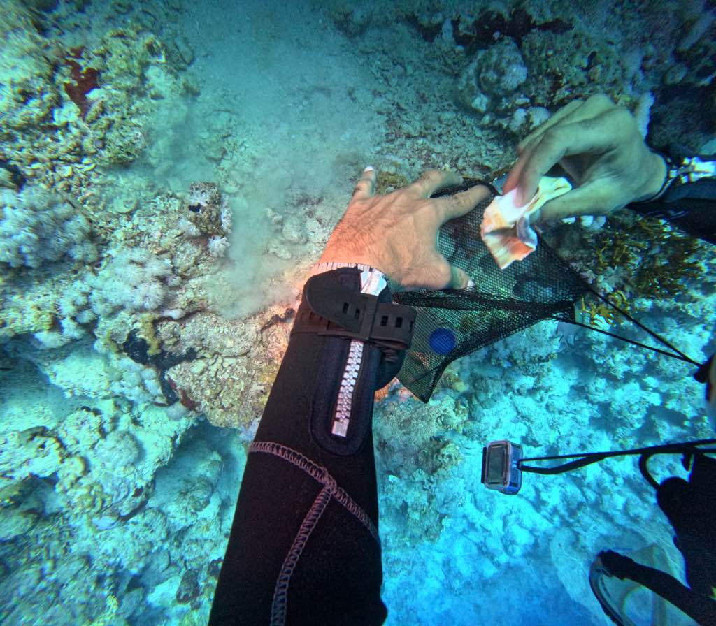
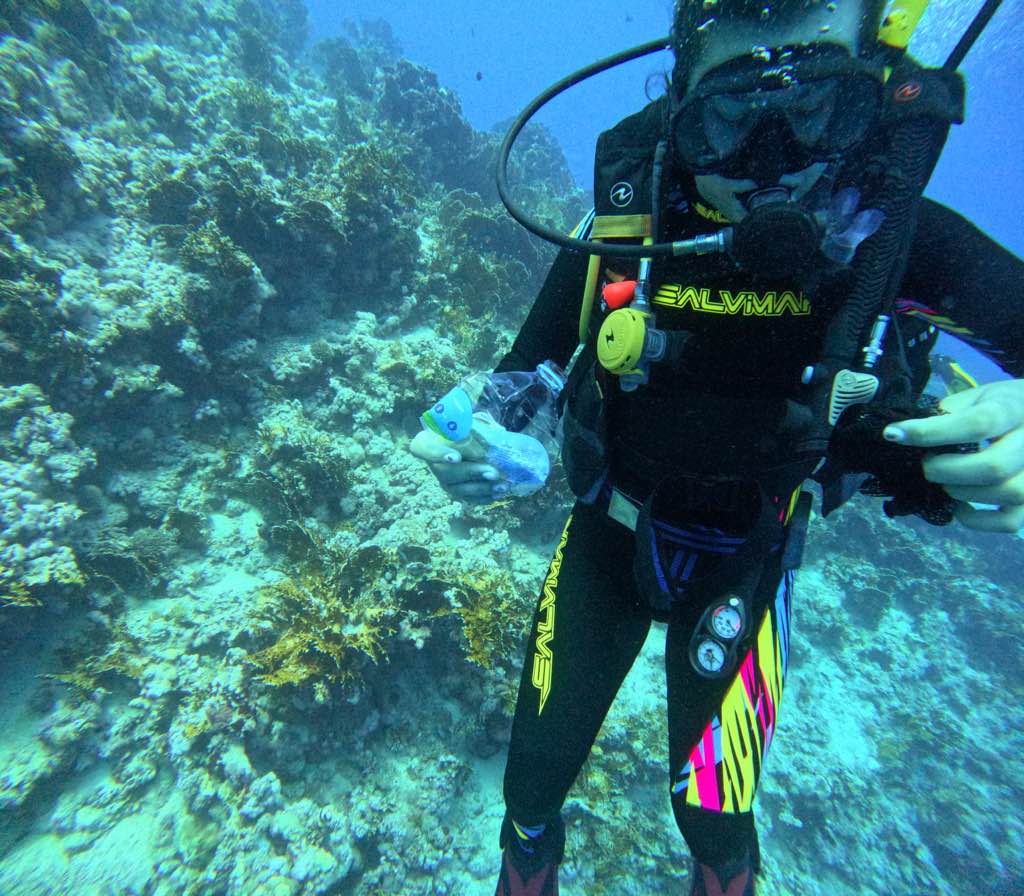
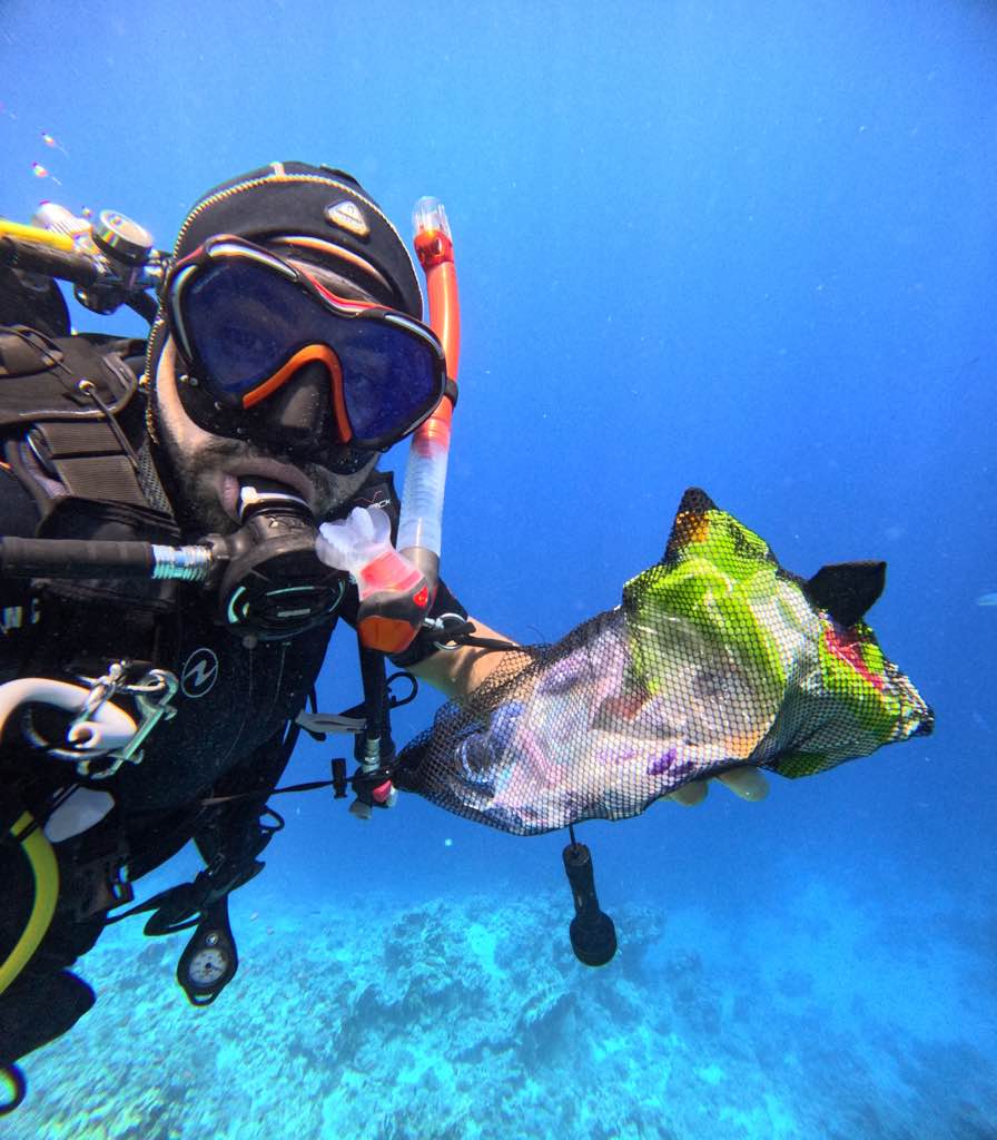
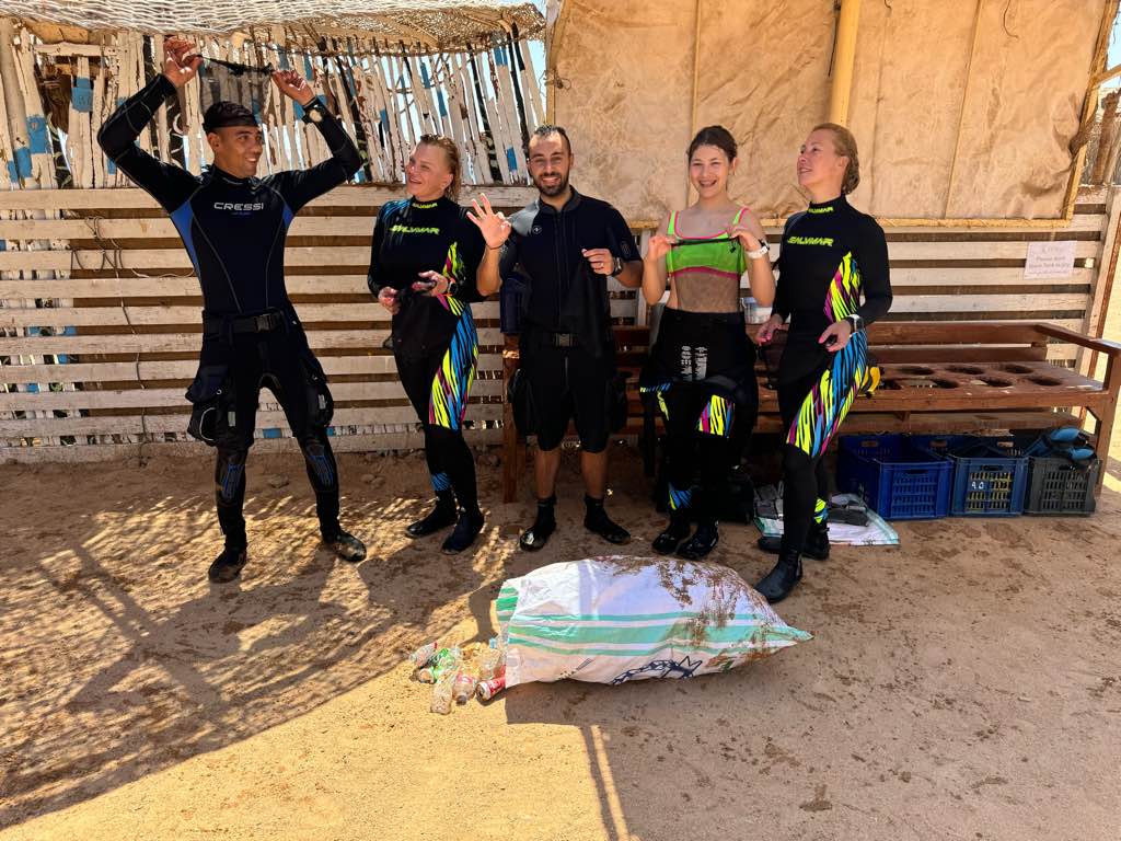
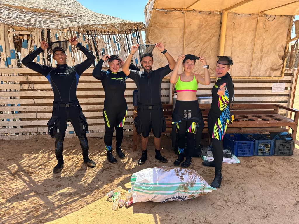
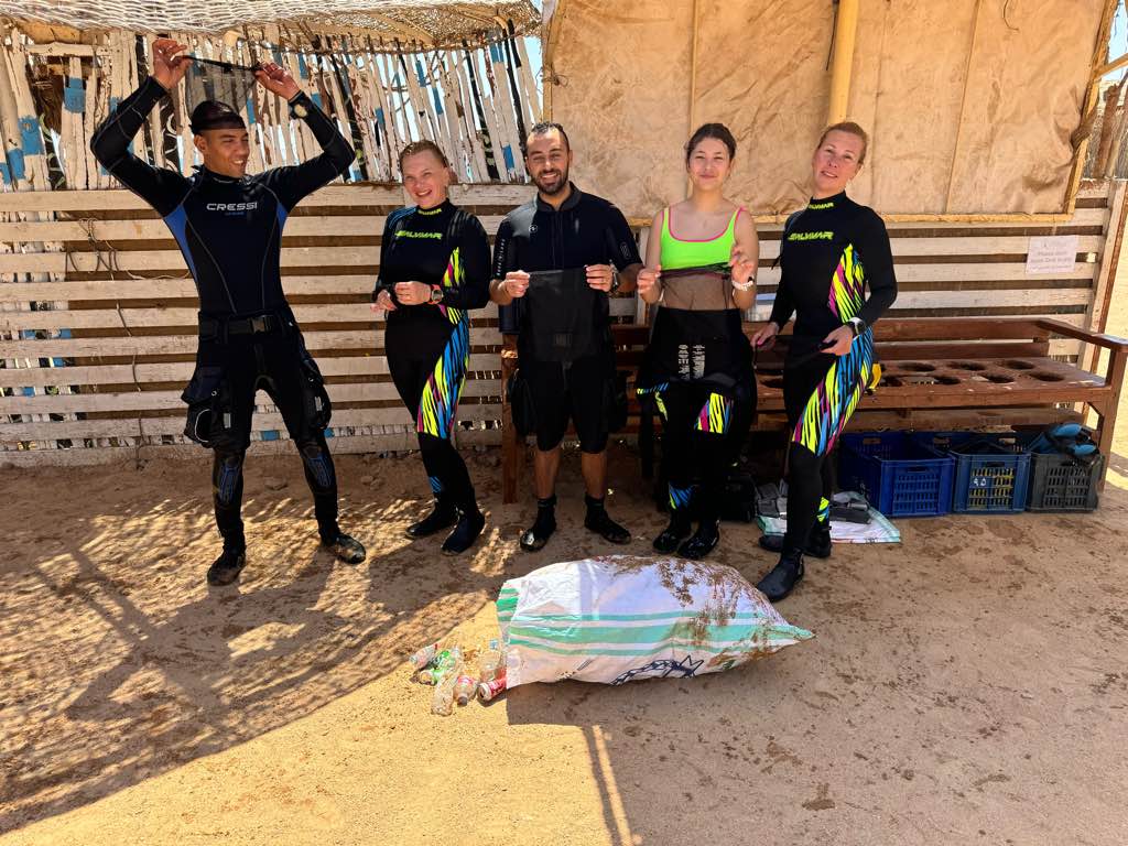
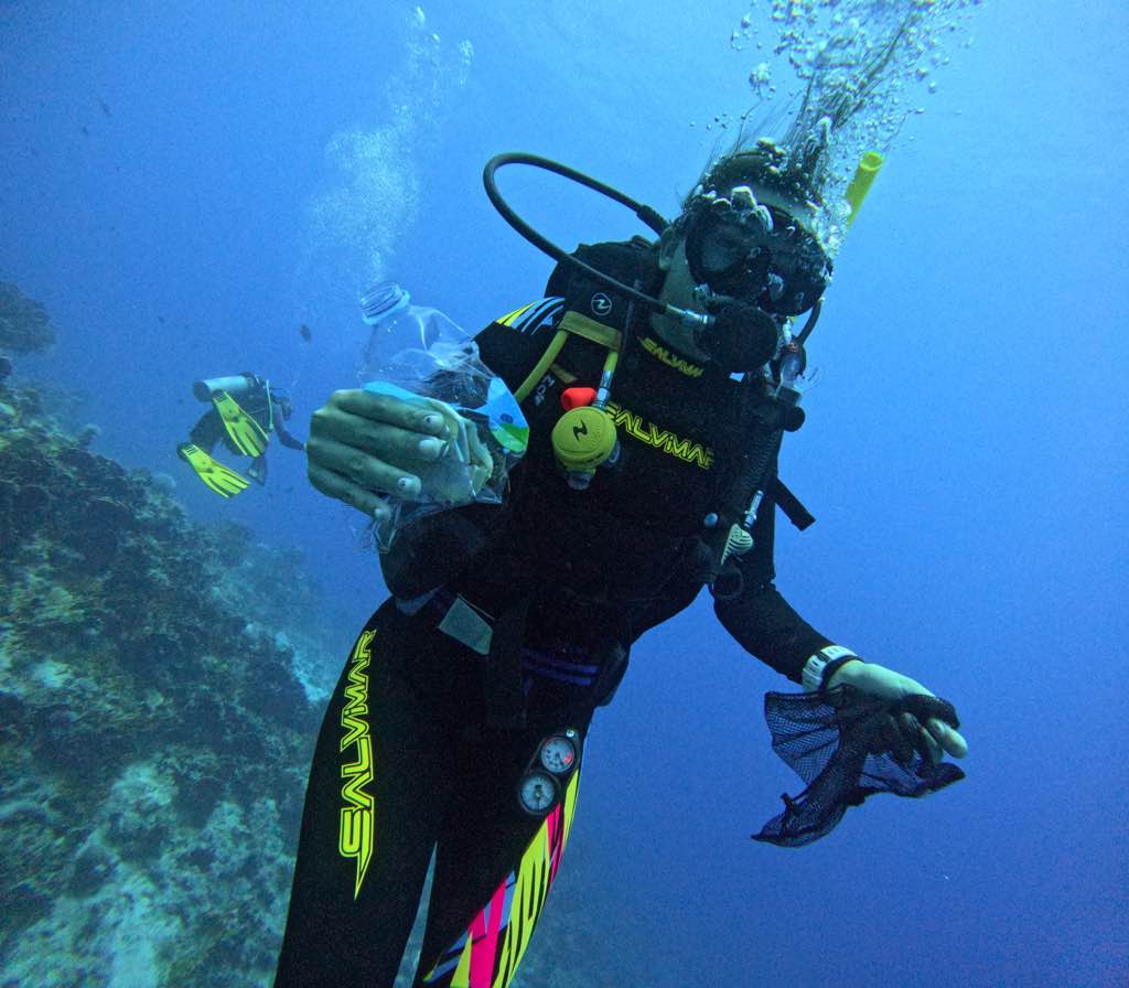
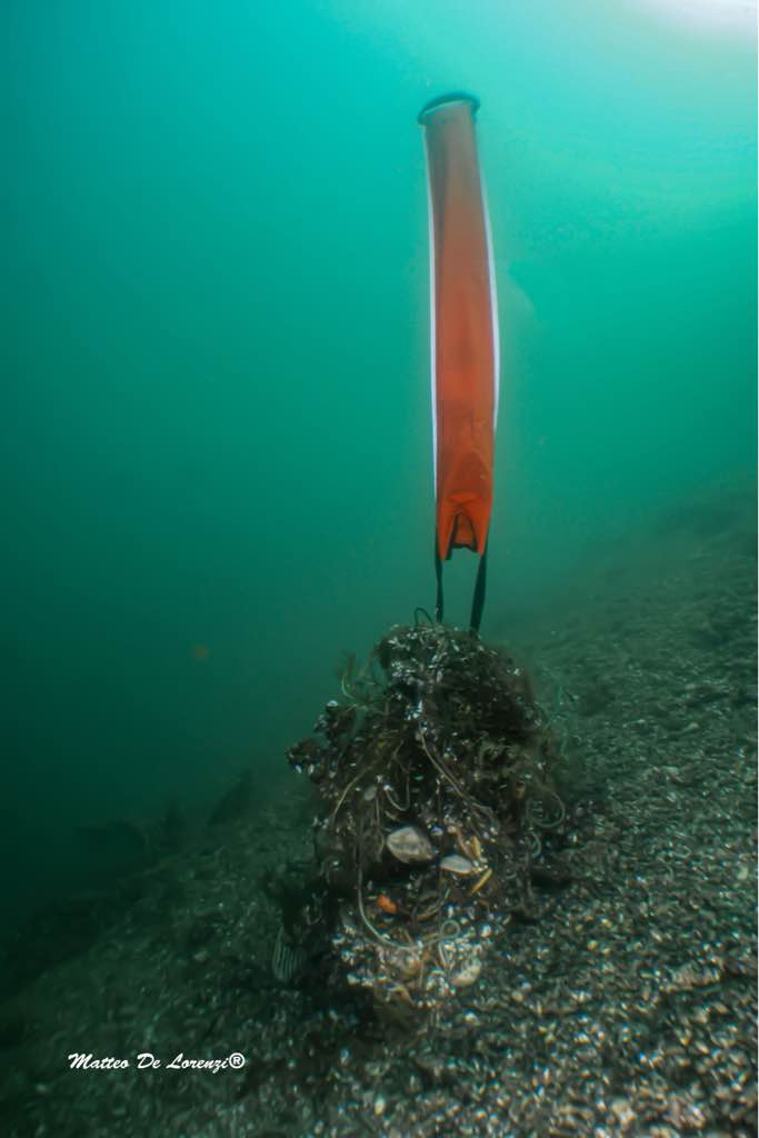
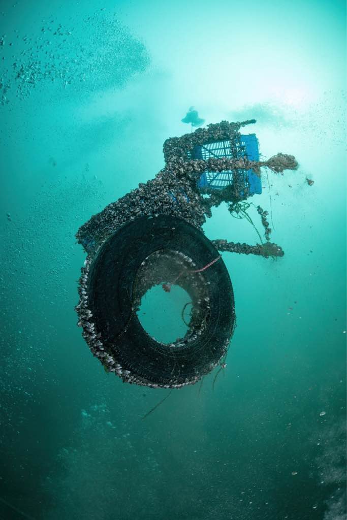
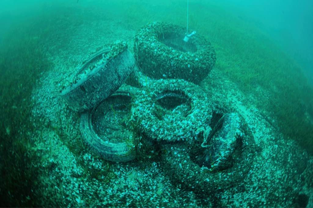
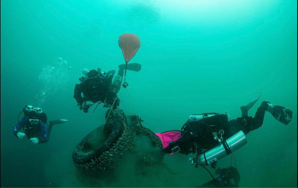
Our Survey Site was free of debris
Calm (glassy to rippled) for waves 0 – 0.1 meter high
ft2
feet
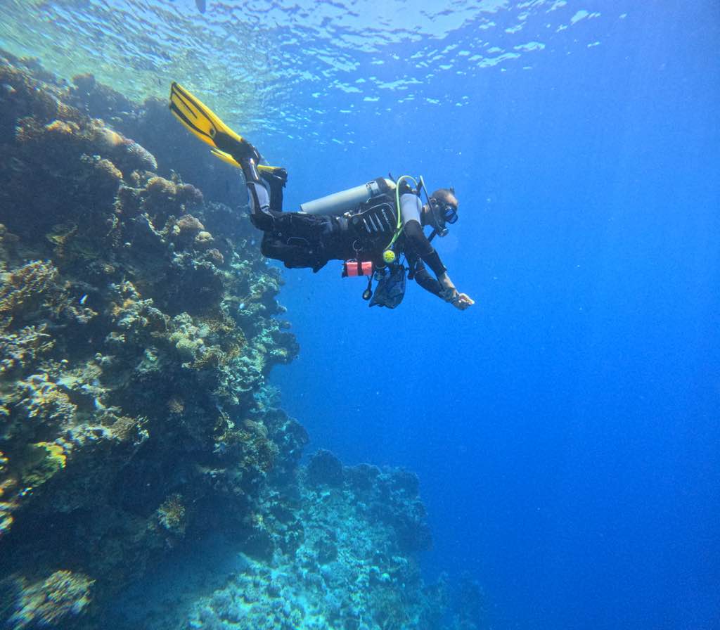
coral reef
State\Province
FL
City
Key Largo
Map Help
Dive Location
If you know your survey site coordinates, enter them manually in decimal degrees using WGS84 Map Datum. Use the minus sign for latitudes south of the equator and longitudes west of the Prime Meridian to 180 degrees.
If you do not know your survey site coordinates, click the “Map Location” tab to use the map to zoom into your survey site and drop the pin on the map to fall within your survey dive site in the water (not on land or the beach). Ensure you zoom in as much as possible to ensure data accuracy.
Entangled Help