outside cold lake fuelling jetty
1
15
1
0
54.465432563397, -110.16906336072
11
0
0
sand
0
0
0
0
0
used to be the city of cold lake boat launch
no
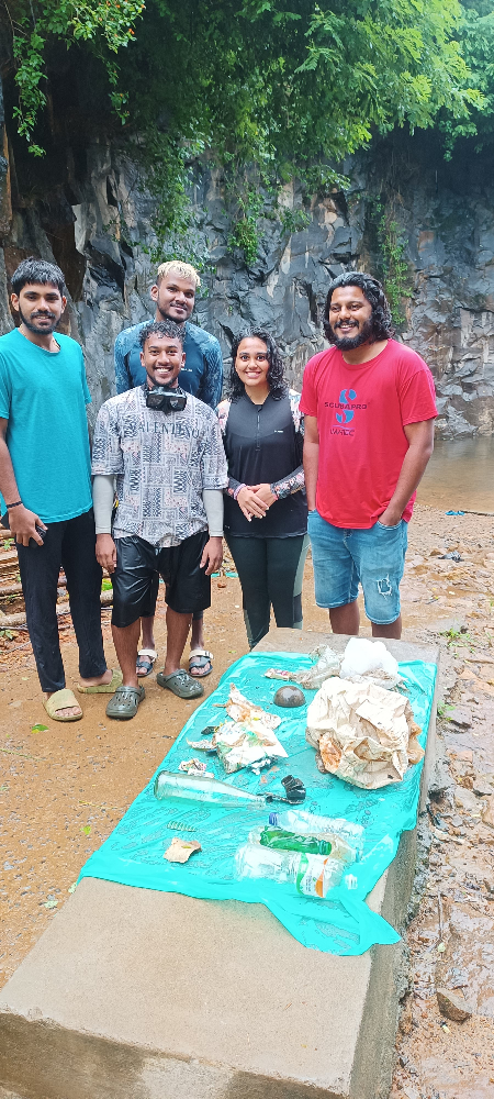
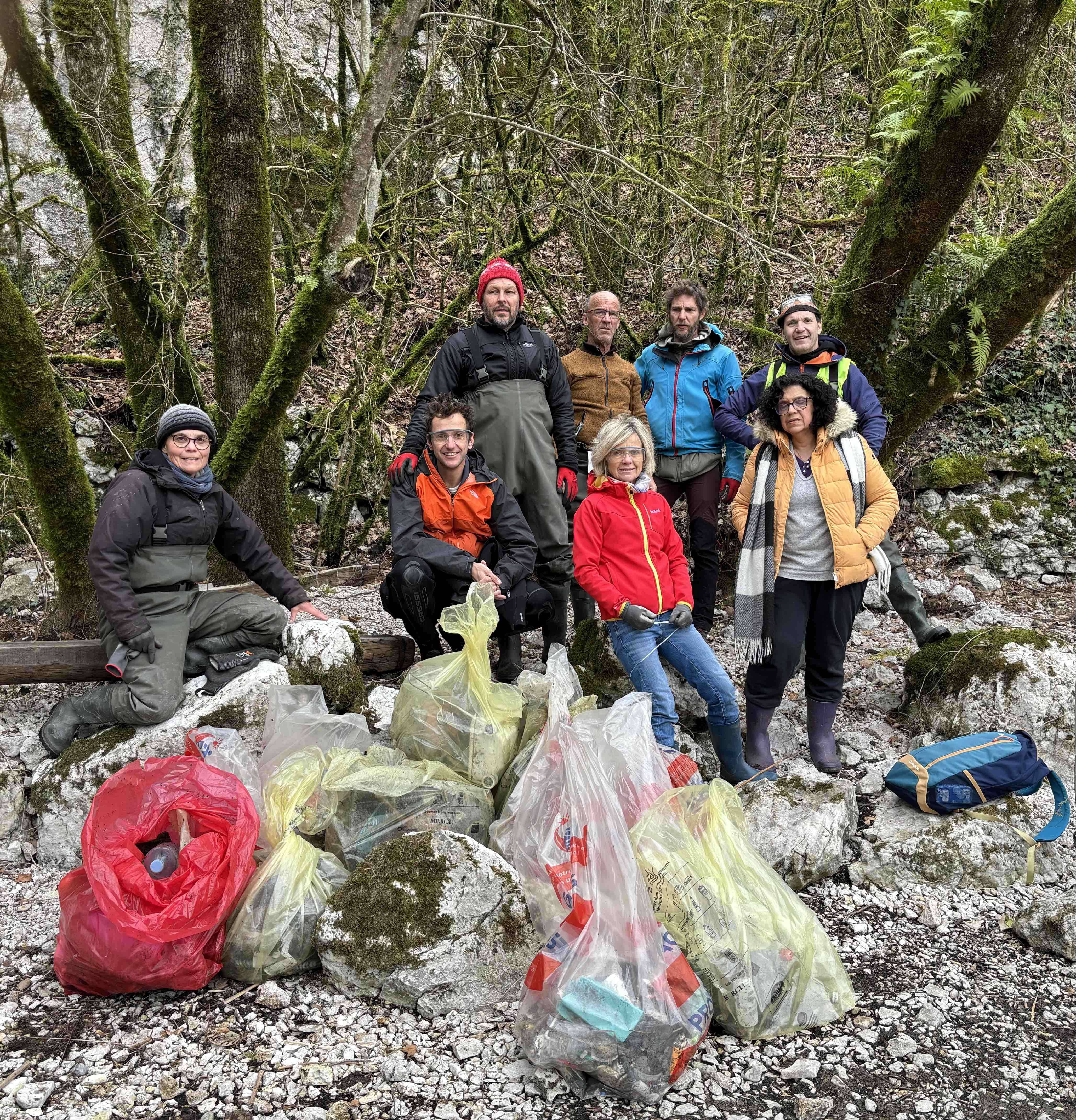
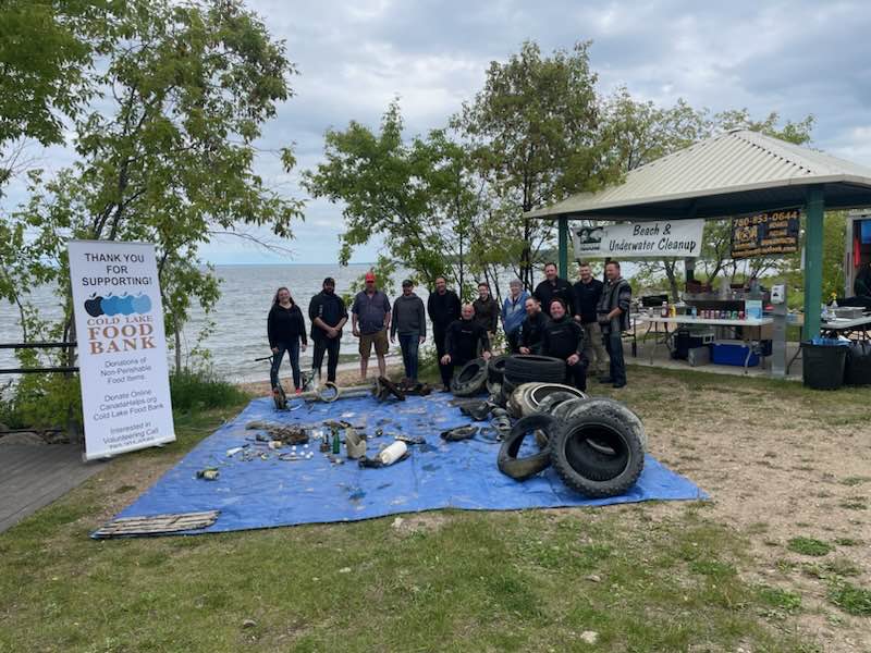
happy to be making our water cleaner
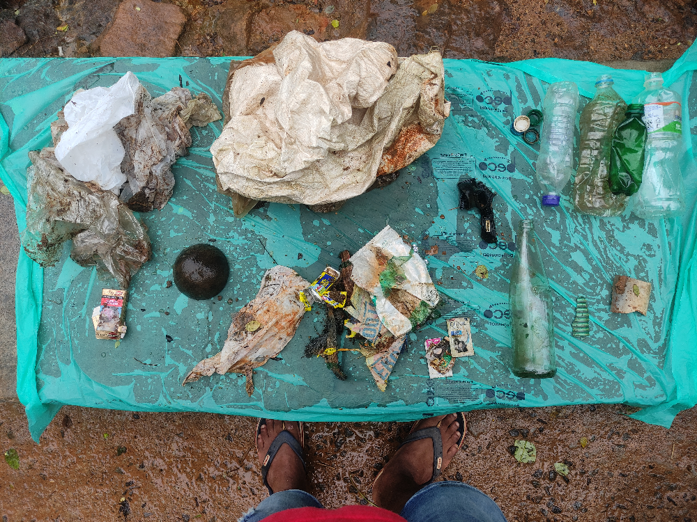
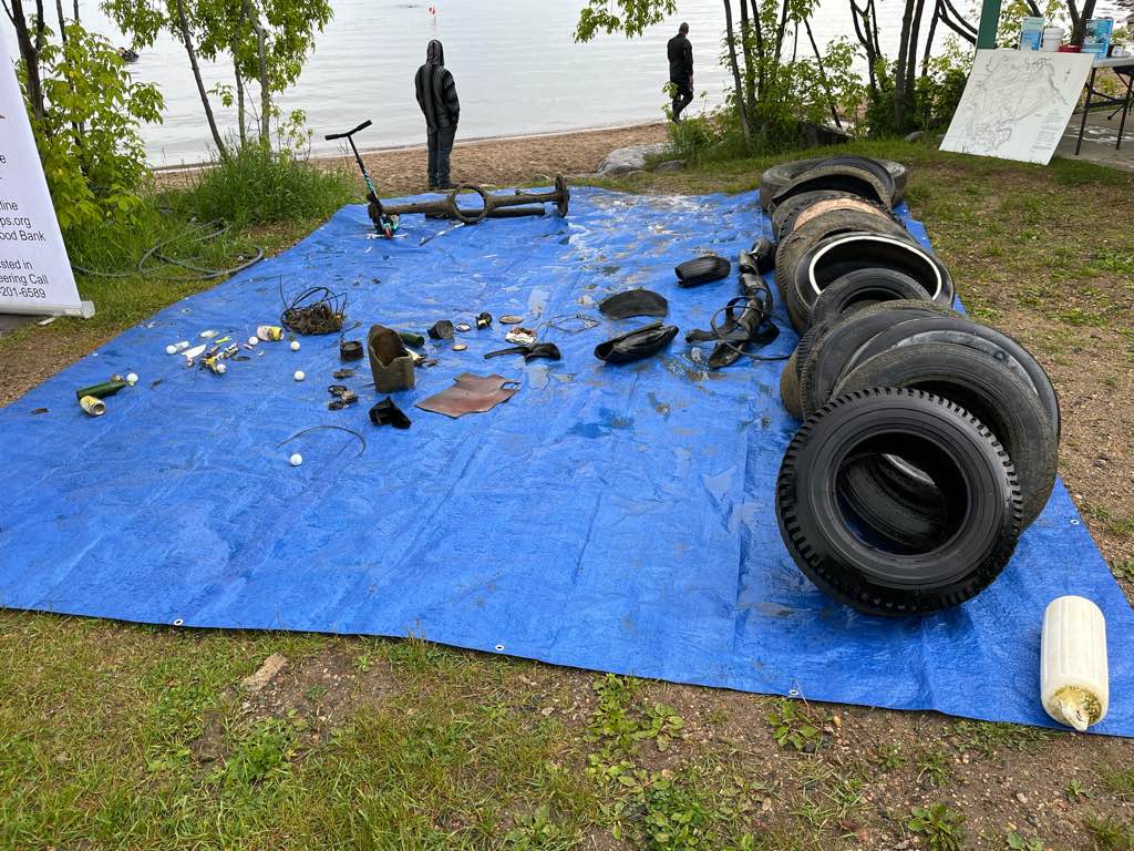
1956 oil can
good
2
1
1
1
1
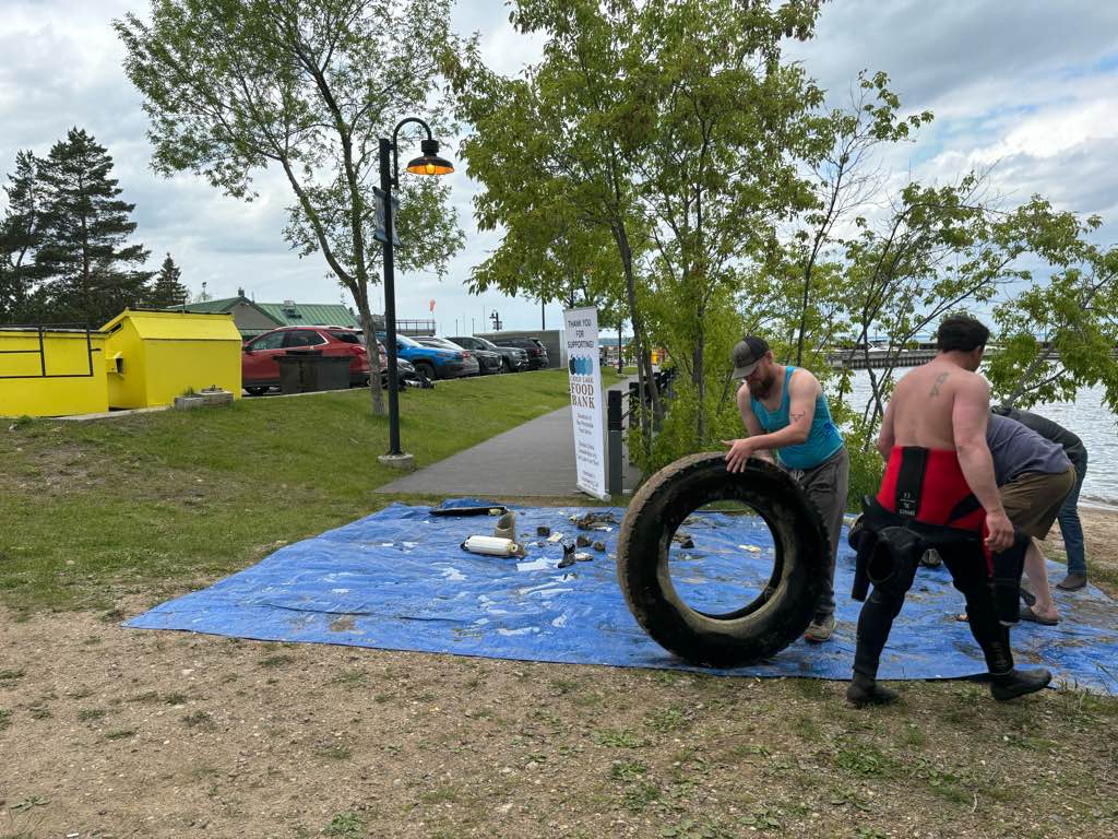
truck bumper
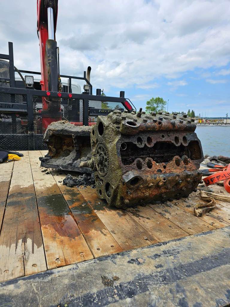
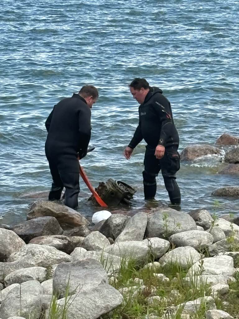
truck engine
cast iron pipe
large sprocket for motor
Kids scooter
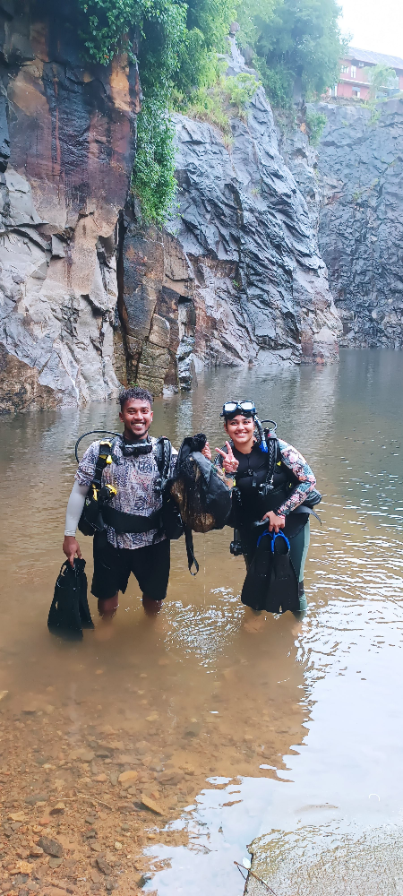
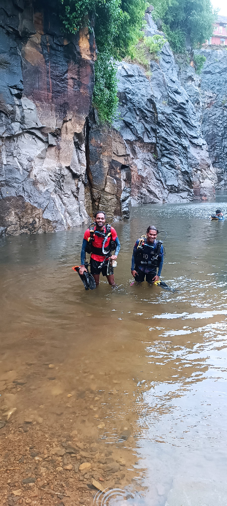
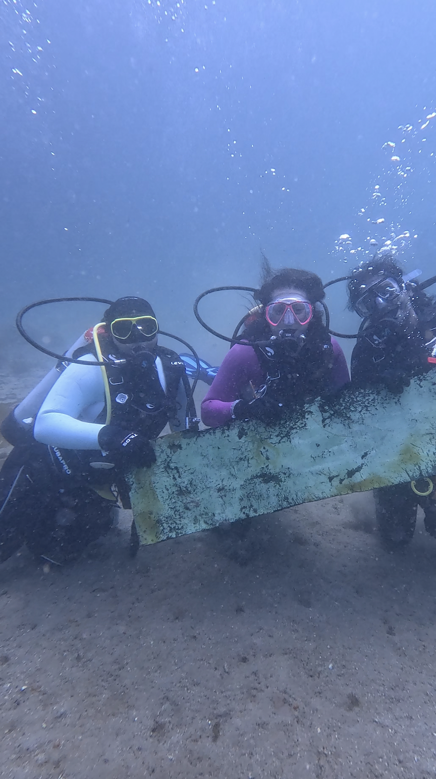
Dunnill’s Diving Services
Stuart Dunnill
0
3
1
3
0
0
0
0
0
0
0
0
0
0
0
0
0
2
0
8
0
0
0
0
0
0
2
0
0
0
0
0
0
0
0
0
930.00
120
12.00
3.00
1
measured
0
2
300.00
0
23
0
6
0
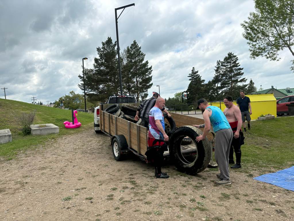
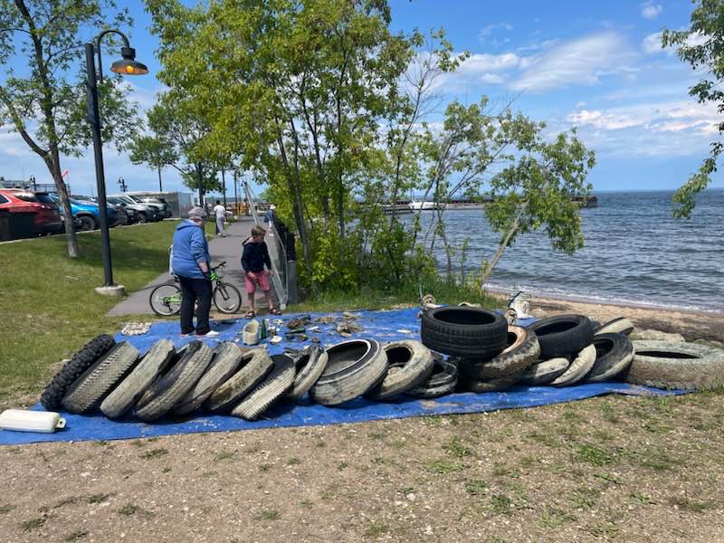
tires in silt
size of truck engines
0
On
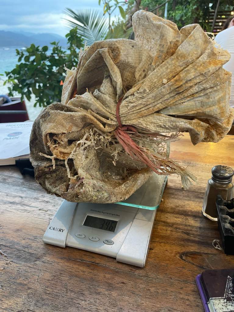
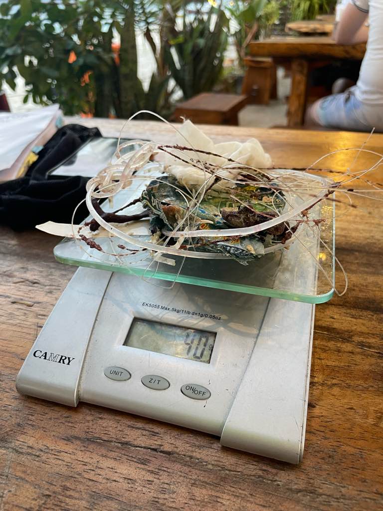
kilograms
0
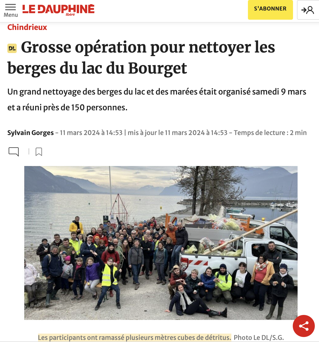
I have debris data to report
3
0
0
Smooth (wavelets) for waves 0.1 - 0.5 meter high
0
0
0
0
0
0
0
ft2
0
0
feet
other
17
0
0
0
0
0
3
0
0
0
0
0
0
0
0
0
4
2
0
0
1
0
10
0
0
0
0
0
0
State\Province
Alberta
City
Cold Lake
Map Help
Dive Location
If you know your survey site coordinates, enter them manually in decimal degrees using WGS84 Map Datum. Use the minus sign for latitudes south of the equator and longitudes west of the Prime Meridian to 180 degrees.
If you do not know your survey site coordinates, click the “Map Location” tab to use the map to zoom into your survey site and drop the pin on the map to fall within your survey dive site in the water (not on land or the beach). Ensure you zoom in as much as possible to ensure data accuracy.
Entangled Help
Use the vertical tabs below to record any entangled animals you found of each type.
Ecosystem Other
sand