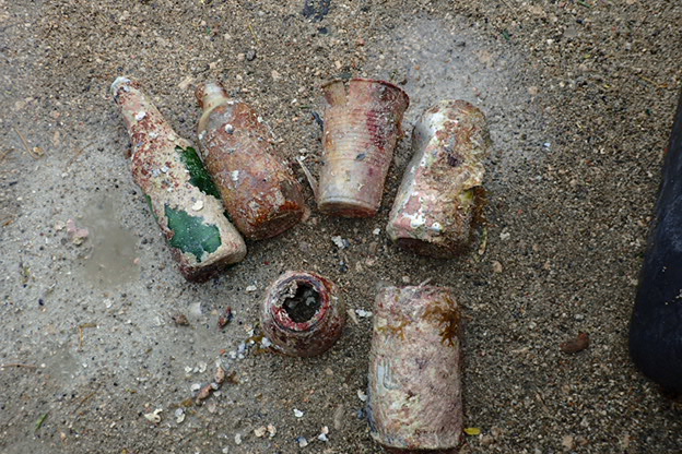
Agioi Theodoroi Loutraki Greece 24/6/2017
7
6
10
1
sand
8
1
21
37.931166116096, 23.146997094154
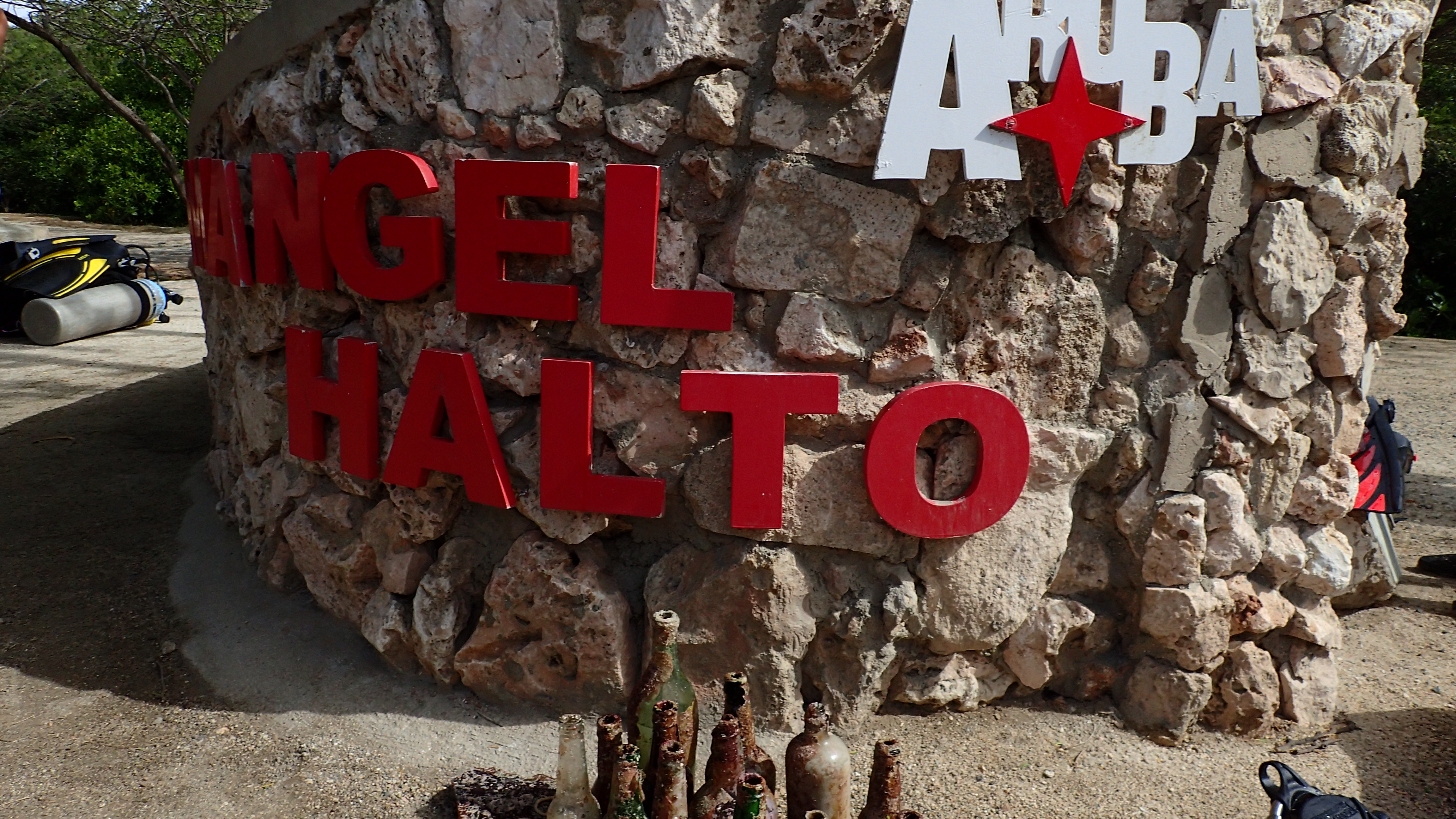
Loutraki Dive Club - Dive against Debris Agioi Theodoroi Loutraki Greece 24/6/2017
At this event we were 9 divers 1 surface support and 2 land support !!!
Some young people who were there swimming and sunbathing came and helped us to our efforts.
Some young people who were there swimming and sunbathing came and helped us to our efforts.
one of the two octopus was almost dead released but we dont know what happened after that
In the traps were a lot of empty shells (from Hermit crabs)
In the traps were a lot of empty shells (from Hermit crabs)
1
2
1
1
1
insole
fragments from pedalo
Pack of condoms
watch strap
chain
Loutraki Dive Club
Nikos_Ba
8
2
89
1
1
9
14
4
1
3
5
331.00
40
19.80
2.00
15
measured
2
3548.00
5
On
kilograms
I have debris data to report
12
Calm (glassy to rippled) for waves 0 – 0.1 meter high
1
m2


3
tires and traps
2 small octopus and 1 starfish
Released Unharmed
meters
seagrass
3
1
1
1
3
13
5
5
State\Province
Corinthia
City
Loutraki
Map Help
Dive Location
If you know your survey site coordinates, enter them manually in decimal degrees using WGS84 Map Datum. Use the minus sign for latitudes south of the equator and longitudes west of the Prime Meridian to 180 degrees.
If you do not know your survey site coordinates, click the “Map Location” tab to use the map to zoom into your survey site and drop the pin on the map to fall within your survey dive site in the water (not on land or the beach). Ensure you zoom in as much as possible to ensure data accuracy.
Entangled Help