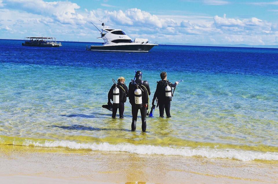
Tangalooma Ship Wrecks
0
37
0
0
-27.16341160745, 153.36821258068
1
0
0
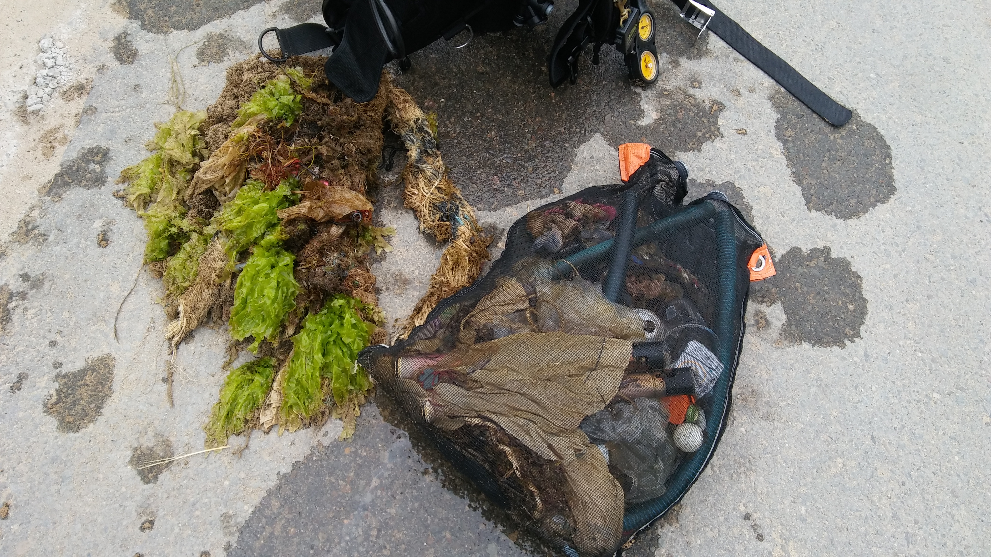
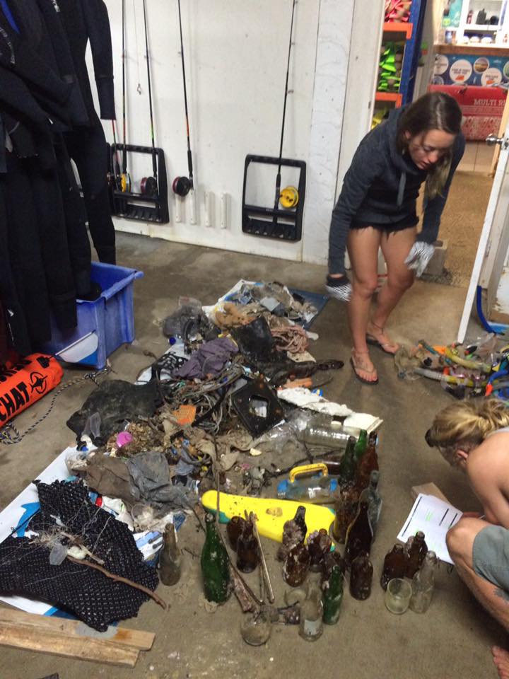
sand
0
5
3
1
3
-27.162732082806, 153.36866310798
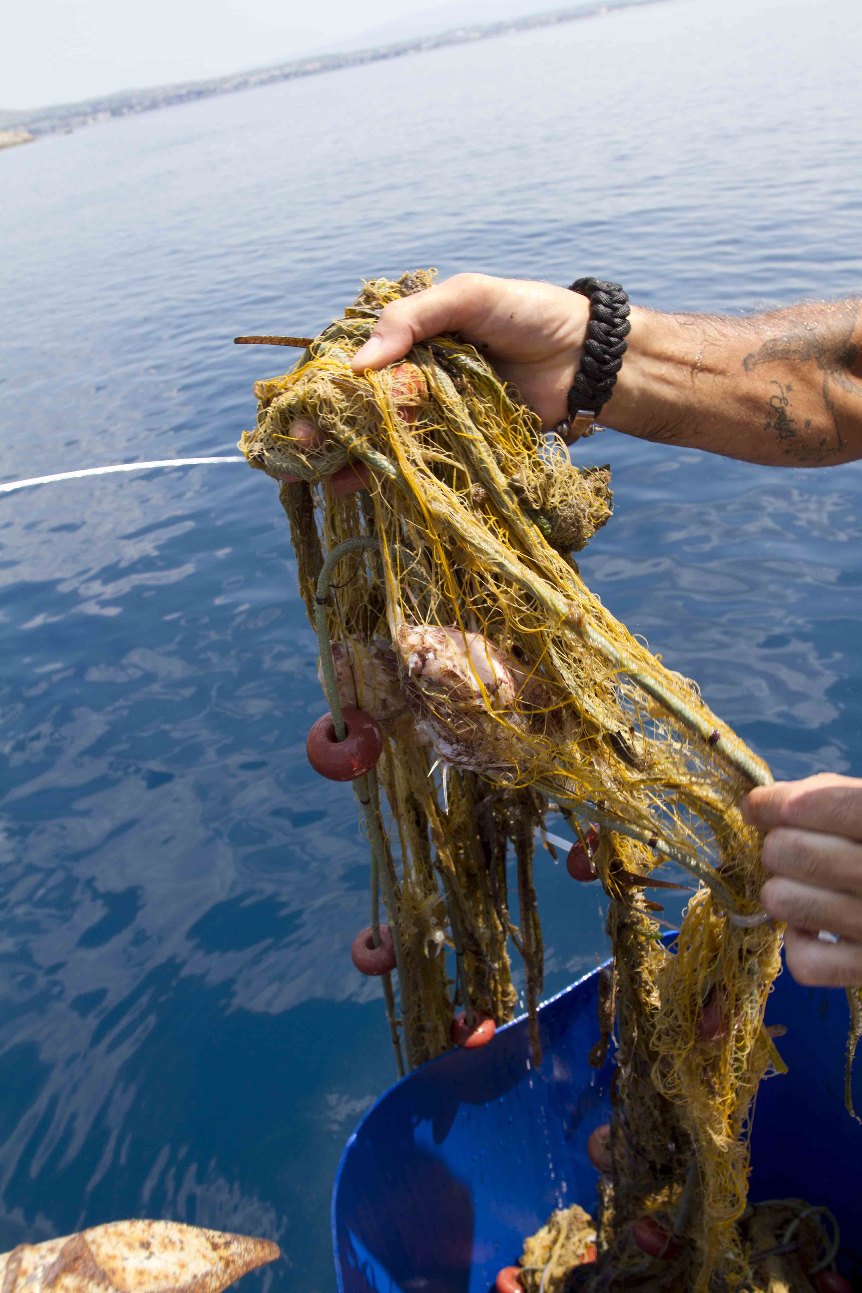
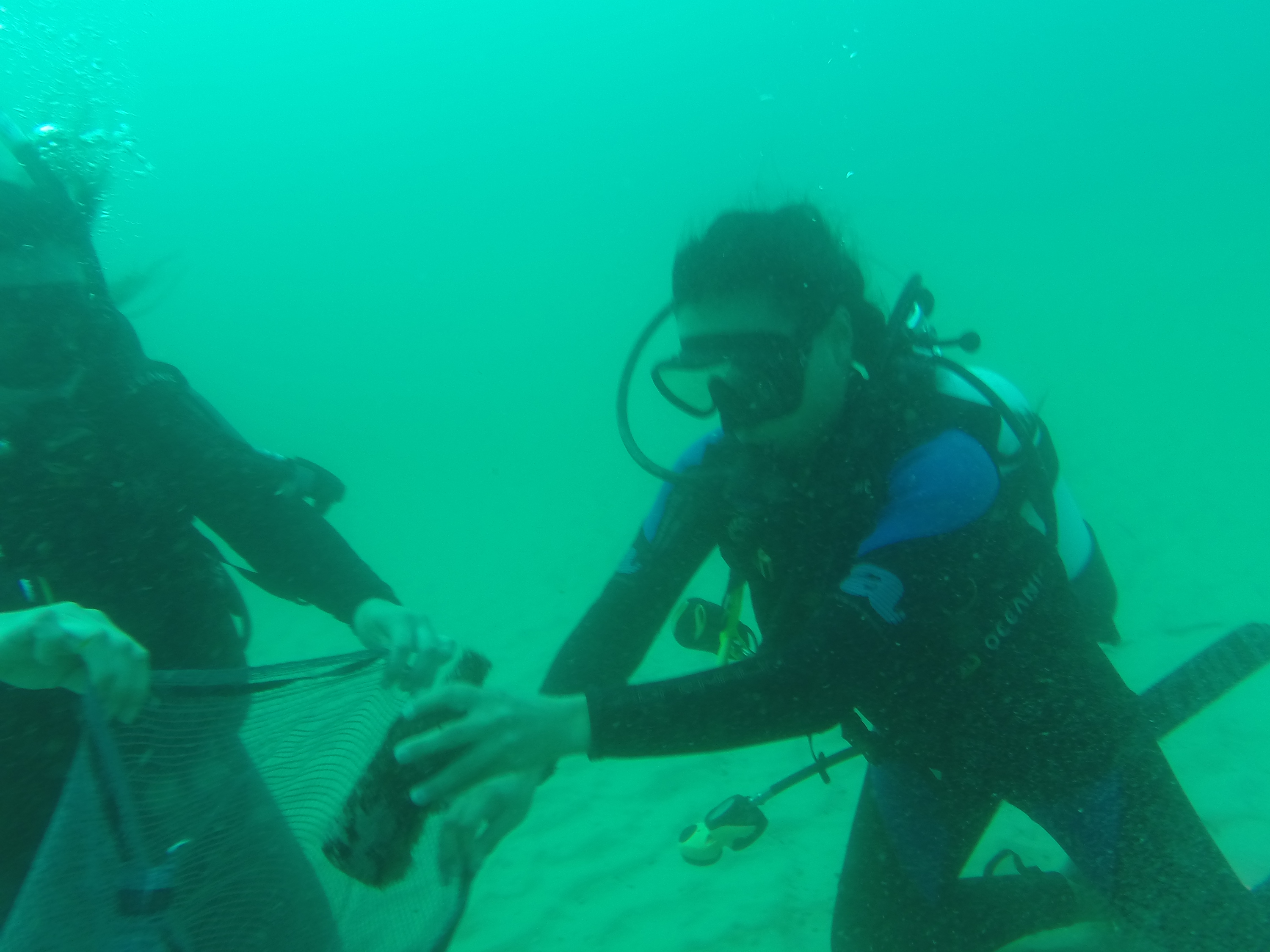
We found a fish that was struggling keeping it self up right. Helped him up right twice and both times ended up flopping back on to its side. Not sure what was the cause.... possible hook injury?
sunglasses
knife
fins
2
1
2
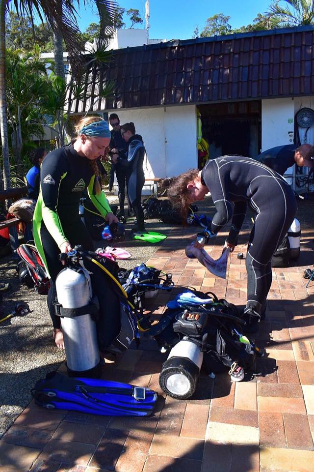
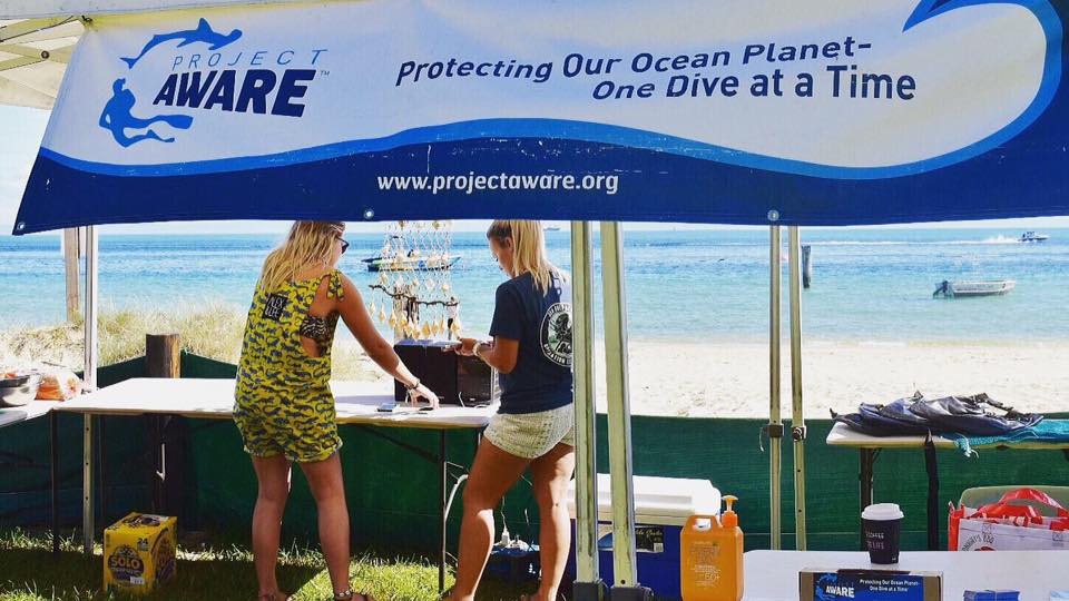
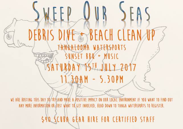
Sweep Our Seas / Tangalooma Dive & Water Sports
Tim
0
0
0
3
4
0
2
1
33
0
14
0
0
0
1
0
0
39
0
10
2
0
2
0
0
0
9
0
0
0
0
0
0
0
0
0
29.00
30
17.00
5.00
3
estimated
0
0
0
10
100.00
0
0
0
0
1
where boats commonly anchor and people fishing line near the wrecks
0
On
kilograms
0
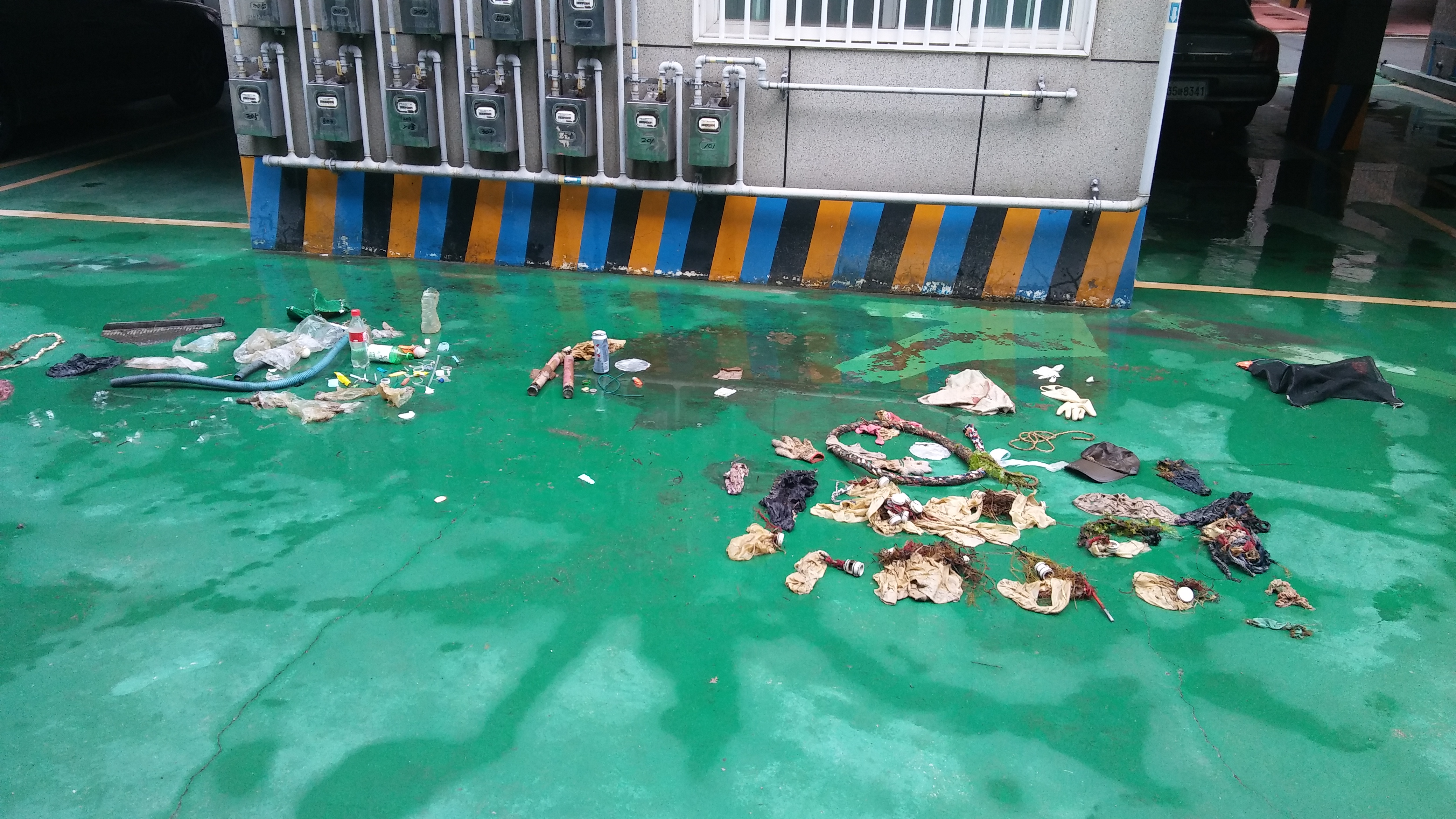
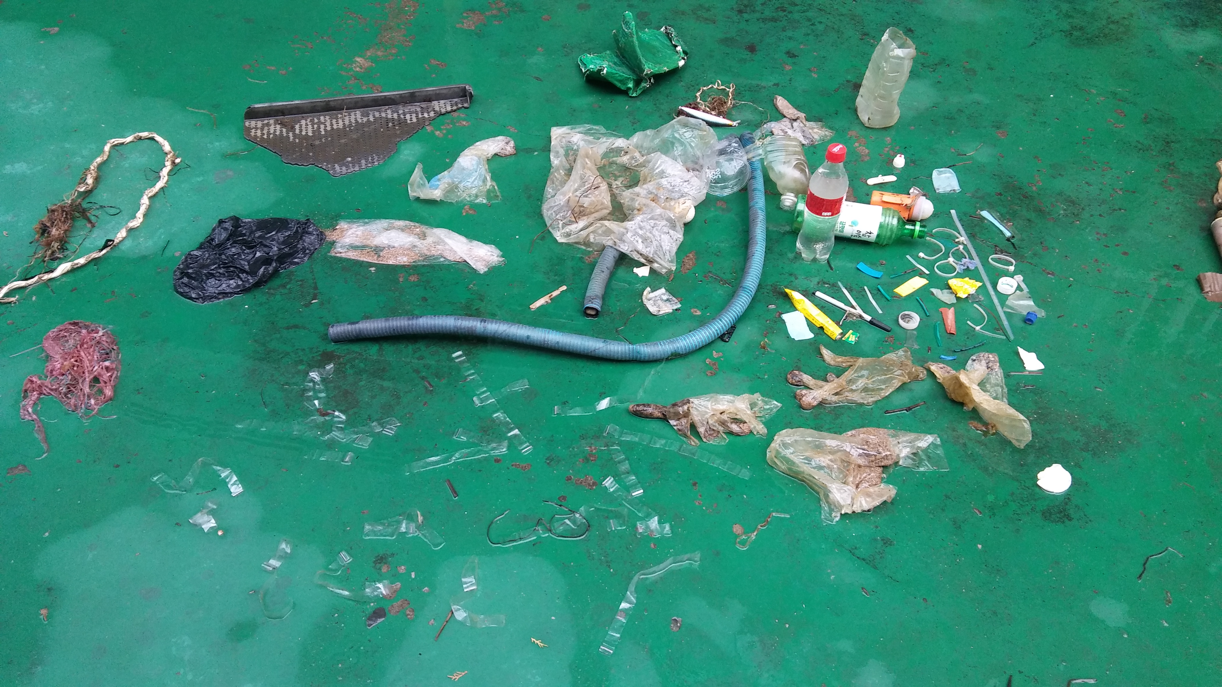
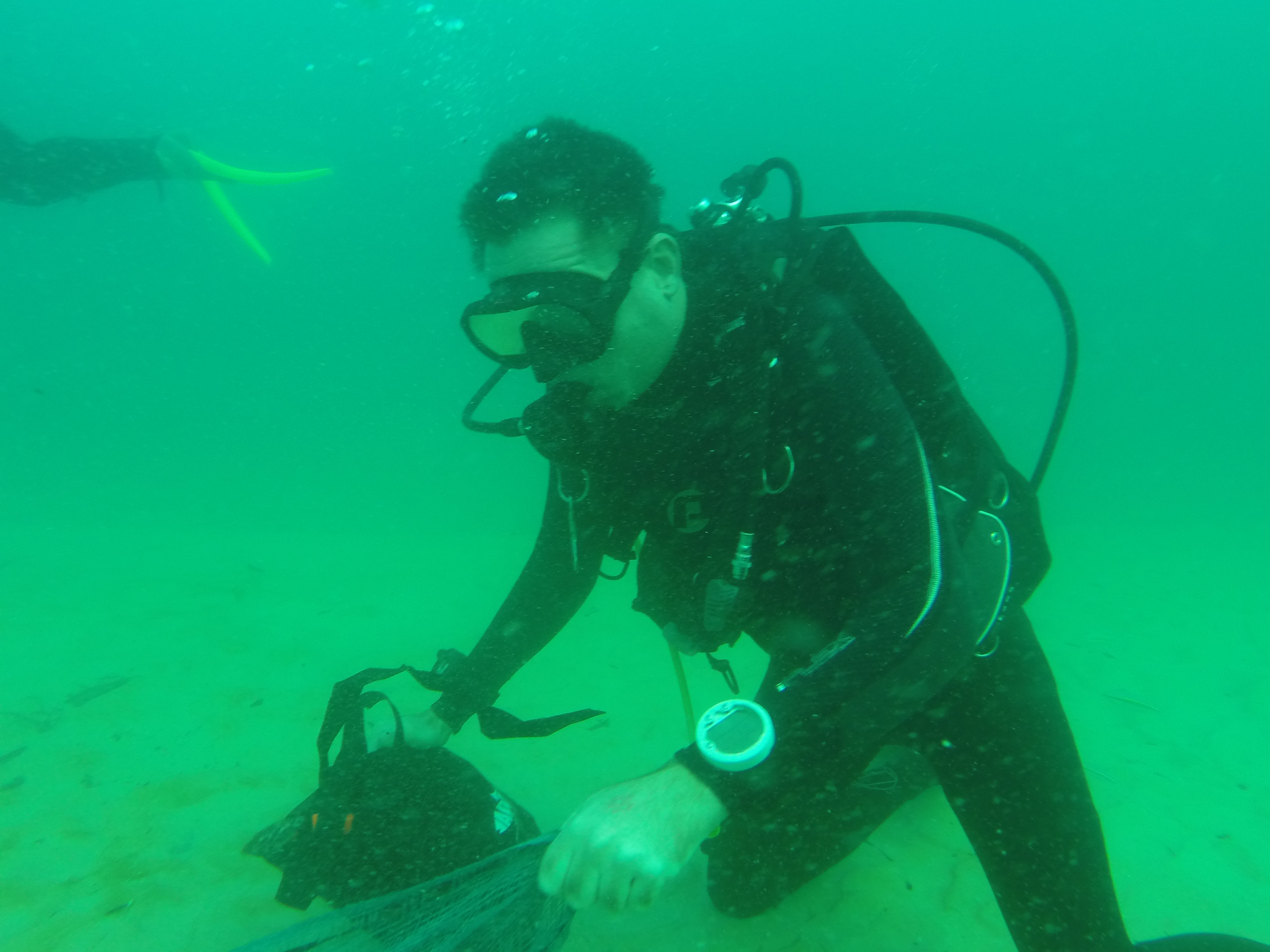
I have debris data to report
28
0
0
Calm (glassy to rippled) for waves 0 – 0.1 meter high
9
0
4
unsure
1
Injured
Fish
0
3
3
0
m2

4
0
meters
other
0
0
2
0
3
1
0
0
0
4
0
0
1
0
0
10
11
0
0
0
1
0
5
0
0
0
0
0
3
State\Province
Queensland
City
brisbane
Map Help
Dive Location
If you know your survey site coordinates, enter them manually in decimal degrees using WGS84 Map Datum. Use the minus sign for latitudes south of the equator and longitudes west of the Prime Meridian to 180 degrees.
If you do not know your survey site coordinates, click the “Map Location” tab to use the map to zoom into your survey site and drop the pin on the map to fall within your survey dive site in the water (not on land or the beach). Ensure you zoom in as much as possible to ensure data accuracy.
Entangled Help
Use the vertical tabs below to record any entangled animals you found of each type.
Ecosystem Other
Ship wrecks and coral