Calm (glassy to rippled) for waves 0 – 0.1 meter high
m2
2
meters
rocky reef
1
France
City
Cerbère
Map Help
Dive Location
If you know your survey site coordinates, enter them manually in decimal degrees using WGS84 Map Datum. Use the minus sign for latitudes south of the equator and longitudes west of the Prime Meridian to 180 degrees.
If you do not know your survey site coordinates, click the “Map Location” tab to use the map to zoom into your survey site and drop the pin on the map to fall within your survey dive site in the water (not on land or the beach). Ensure you zoom in as much as possible to ensure data accuracy.
Entangled Help
Use the vertical tabs below to record any entangled animals you found of each type.
Calm (glassy to rippled) for waves 0 – 0.1 meter high
m2
1
meters
coral reef
Indonesia
State\Province
Aceh
City
Gapang, Pulau Weh
Map Help
Dive Location
If you know your survey site coordinates, enter them manually in decimal degrees using WGS84 Map Datum. Use the minus sign for latitudes south of the equator and longitudes west of the Prime Meridian to 180 degrees.
If you do not know your survey site coordinates, click the “Map Location” tab to use the map to zoom into your survey site and drop the pin on the map to fall within your survey dive site in the water (not on land or the beach). Ensure you zoom in as much as possible to ensure data accuracy.
Entangled Help
Use the vertical tabs below to record any entangled animals you found of each type.
Calm (glassy to rippled) for waves 0 – 0.1 meter high
m2
meters
other
4
7
1
Poland
State\Province
LDZ
City
ŁÓDŹ
Map Help
Dive Location
If you know your survey site coordinates, enter them manually in decimal degrees using WGS84 Map Datum. Use the minus sign for latitudes south of the equator and longitudes west of the Prime Meridian to 180 degrees.
If you do not know your survey site coordinates, click the “Map Location” tab to use the map to zoom into your survey site and drop the pin on the map to fall within your survey dive site in the water (not on land or the beach). Ensure you zoom in as much as possible to ensure data accuracy.
Entangled Help
Use the vertical tabs below to record any entangled animals you found of each type.
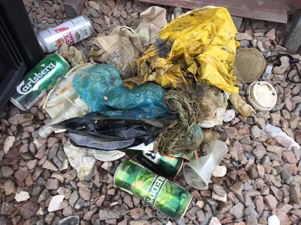
This was our 2nd Dive Against Debris on our Adopt a Dive Site Mainit. Still we were able to pull out 7,5 kg of fishing line. This is our #1 problem on our housereef.
Heavy rainfall caused flooding in the area
Padlock
Heavy rainfall with slight flooding
1
1
Metal padlock
Leather belt
Liquid Dive Dumaguete
Joanna Roberts
1
2
5
13
2
21
13
21
17.00
50
20.00
3.00
measured
14
861.00
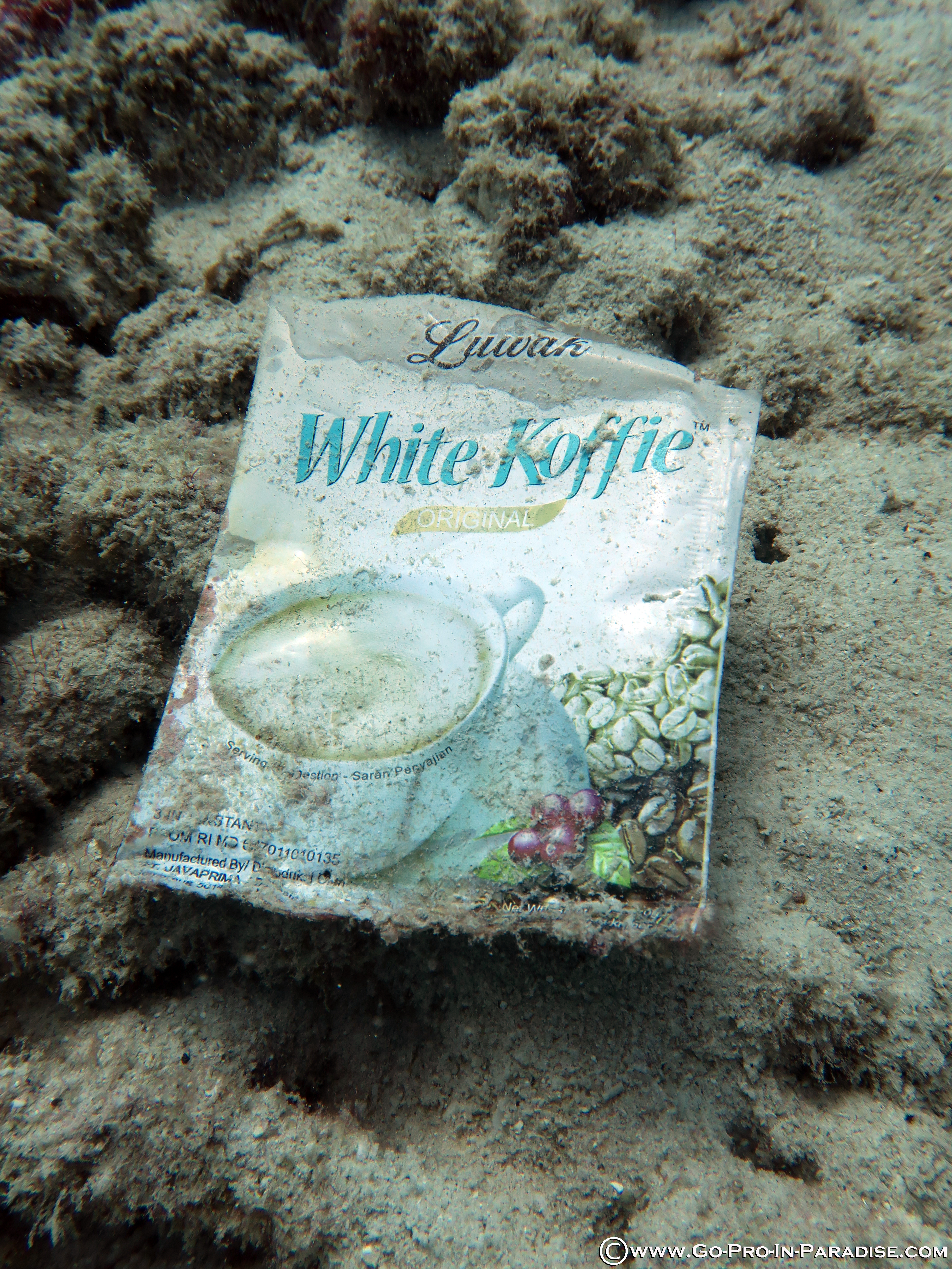
Fishing line - wrapped around alot of coral with fish hooks hooked into sponges
Plastic grocery bags - smothering the coral
Fishing nets with foamed floats
On
kilograms
I have debris data to report
1
Smooth (wavelets) for waves 0.1 - 0.5 meter high
3
m2
2
1
meters
coral reef
3
1
1
Philippines
State\Province
Negros Oriental
City
Dauin
Map Help
Dive Location
If you know your survey site coordinates, enter them manually in decimal degrees using WGS84 Map Datum. Use the minus sign for latitudes south of the equator and longitudes west of the Prime Meridian to 180 degrees.
If you do not know your survey site coordinates, click the “Map Location” tab to use the map to zoom into your survey site and drop the pin on the map to fall within your survey dive site in the water (not on land or the beach). Ensure you zoom in as much as possible to ensure data accuracy.
Entangled Help
Use the vertical tabs below to record any entangled animals you found of each type.
Calm (glassy to rippled) for waves 0 – 0.1 meter high
ft2
feet
other
United States
Map Help
Dive Location
If you know your survey site coordinates, enter them manually in decimal degrees using WGS84 Map Datum. Use the minus sign for latitudes south of the equator and longitudes west of the Prime Meridian to 180 degrees.
If you do not know your survey site coordinates, click the “Map Location” tab to use the map to zoom into your survey site and drop the pin on the map to fall within your survey dive site in the water (not on land or the beach). Ensure you zoom in as much as possible to ensure data accuracy.
Entangled Help
Use the vertical tabs below to record any entangled animals you found of each type.
This was our first time conducting a Dive Against Debris at this site. We're hoping to continue diving it regularly as long as the State Park officials will let us!
There is fishing adjacent to this beach area, which could explain the fishing line we found. This is also a popular swimming beach, so trash may have blown into the water from beachgoers on shore.
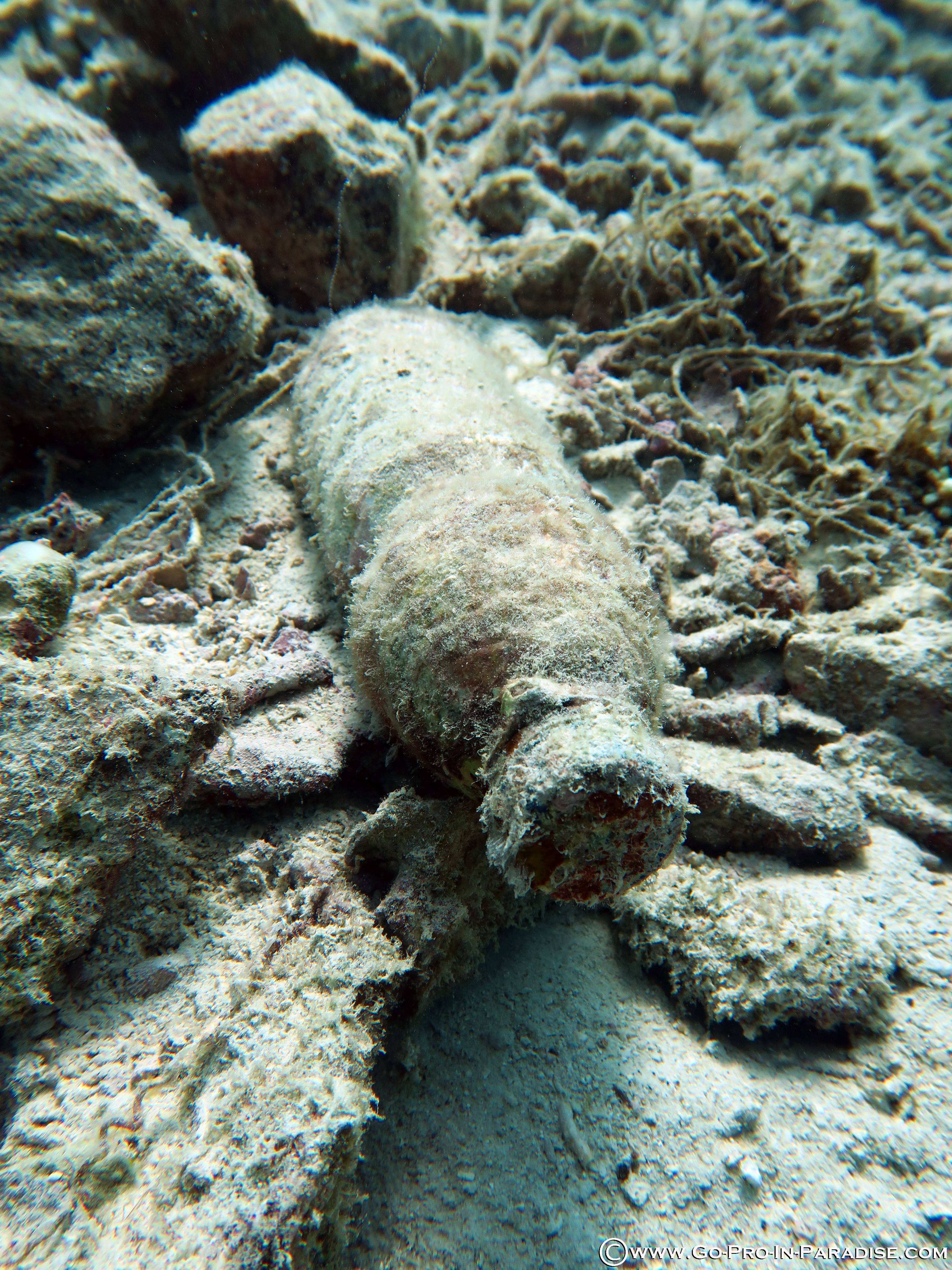
It appears the line had been there for a while so the molluscs may have been growing around the line already. We removed the line from around them and tried to leave them intact.
No significant rain or storms
Blue Planet Scuba
Heather Tallent
6
0.40
28
9.00
6.00
measured
33181.00
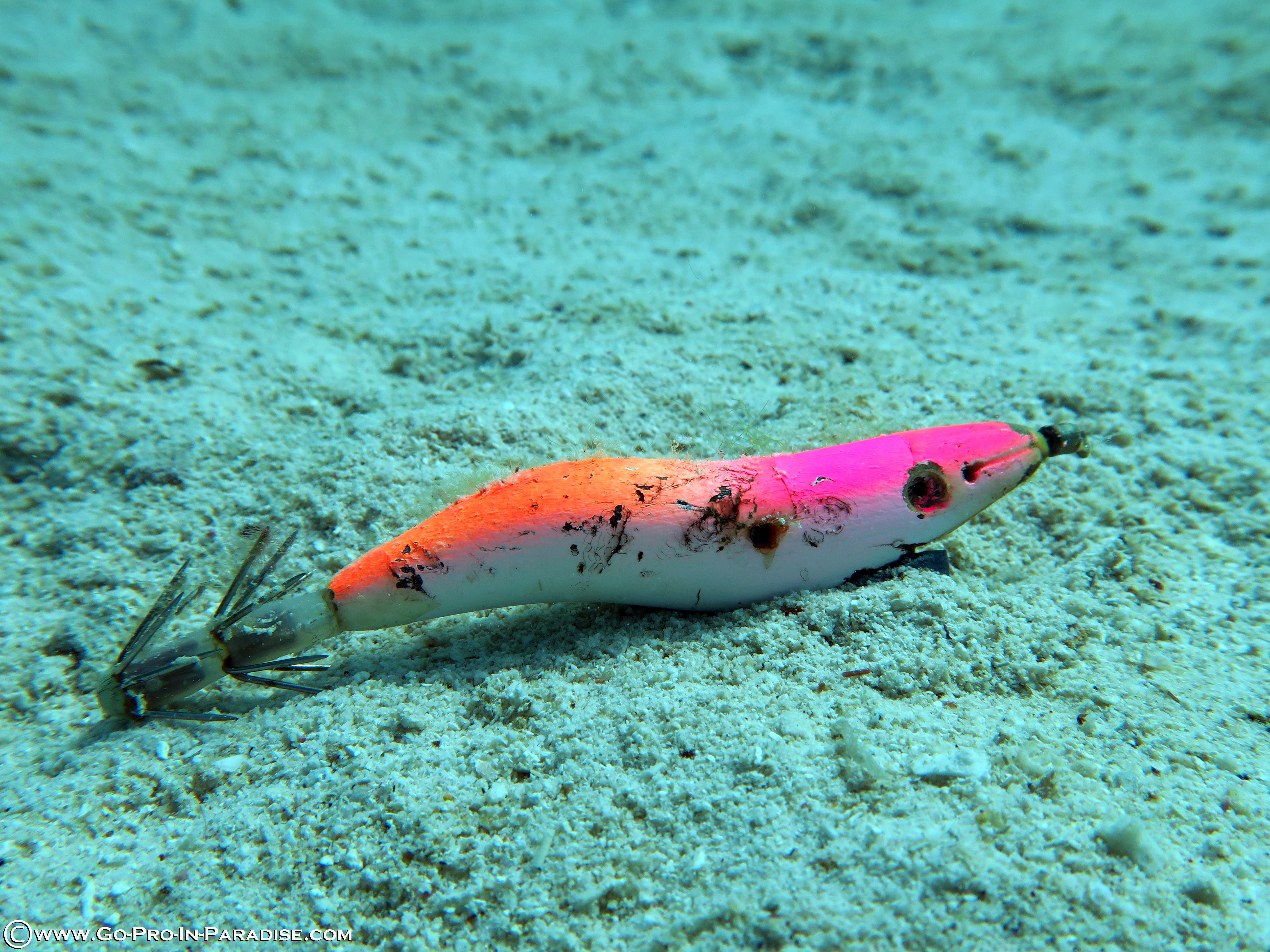
fishing line
plastic bags
On
pounds
I have debris data to report
Smooth (wavelets) for waves 0.1 - 0.5 meter high
fishing line
Unidentified
Released Unharmed
8
ft2
feet
other
1
United States
State\Province
DC
City
Washington
Map Help
Dive Location
If you know your survey site coordinates, enter them manually in decimal degrees using WGS84 Map Datum. Use the minus sign for latitudes south of the equator and longitudes west of the Prime Meridian to 180 degrees.
If you do not know your survey site coordinates, click the “Map Location” tab to use the map to zoom into your survey site and drop the pin on the map to fall within your survey dive site in the water (not on land or the beach). Ensure you zoom in as much as possible to ensure data accuracy.
Entangled Help
Use the vertical tabs below to record any entangled animals you found of each type.